Rzeszów and its surroundings
The richness of Rzeszów and its surroundings
XML, 108.31kB
About this route
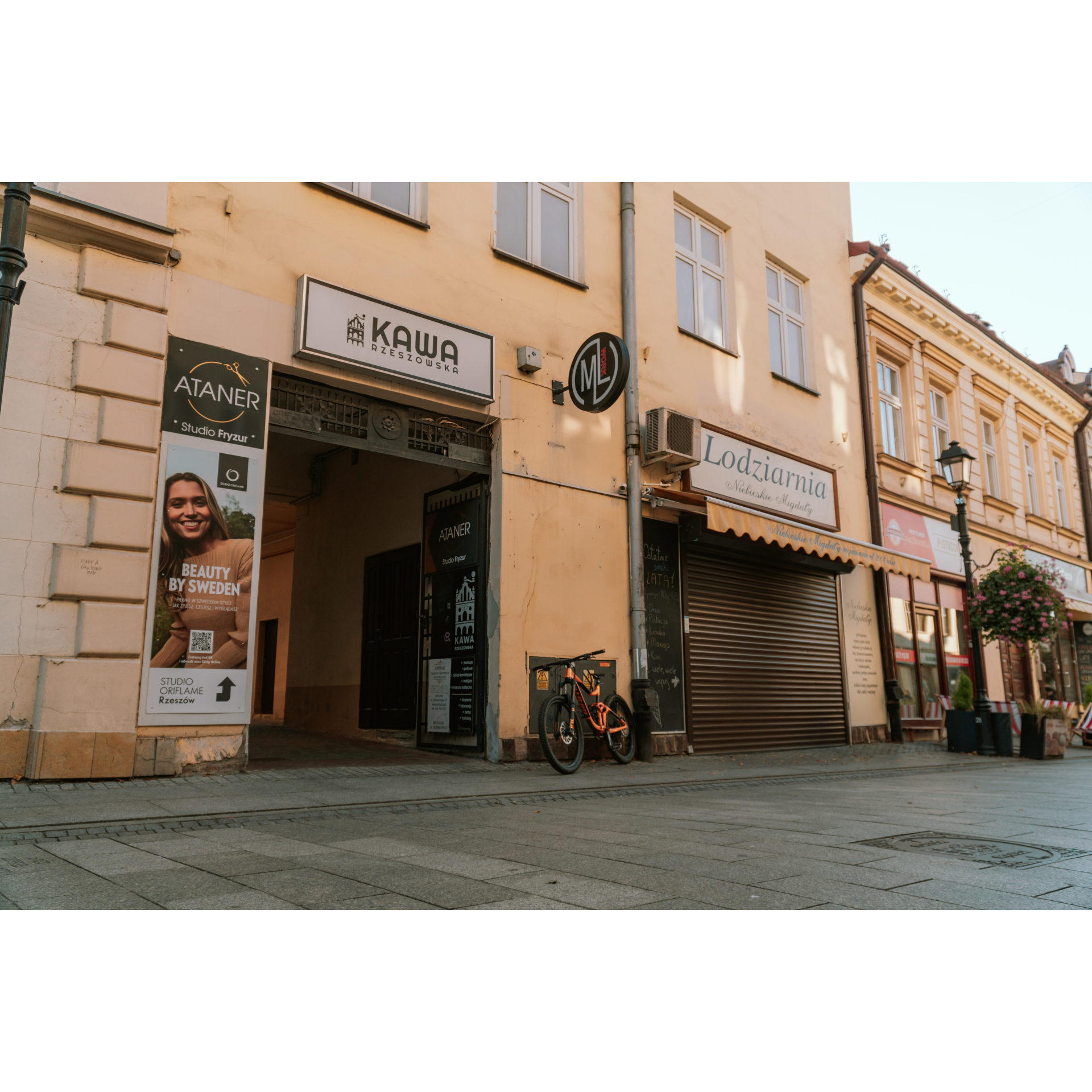
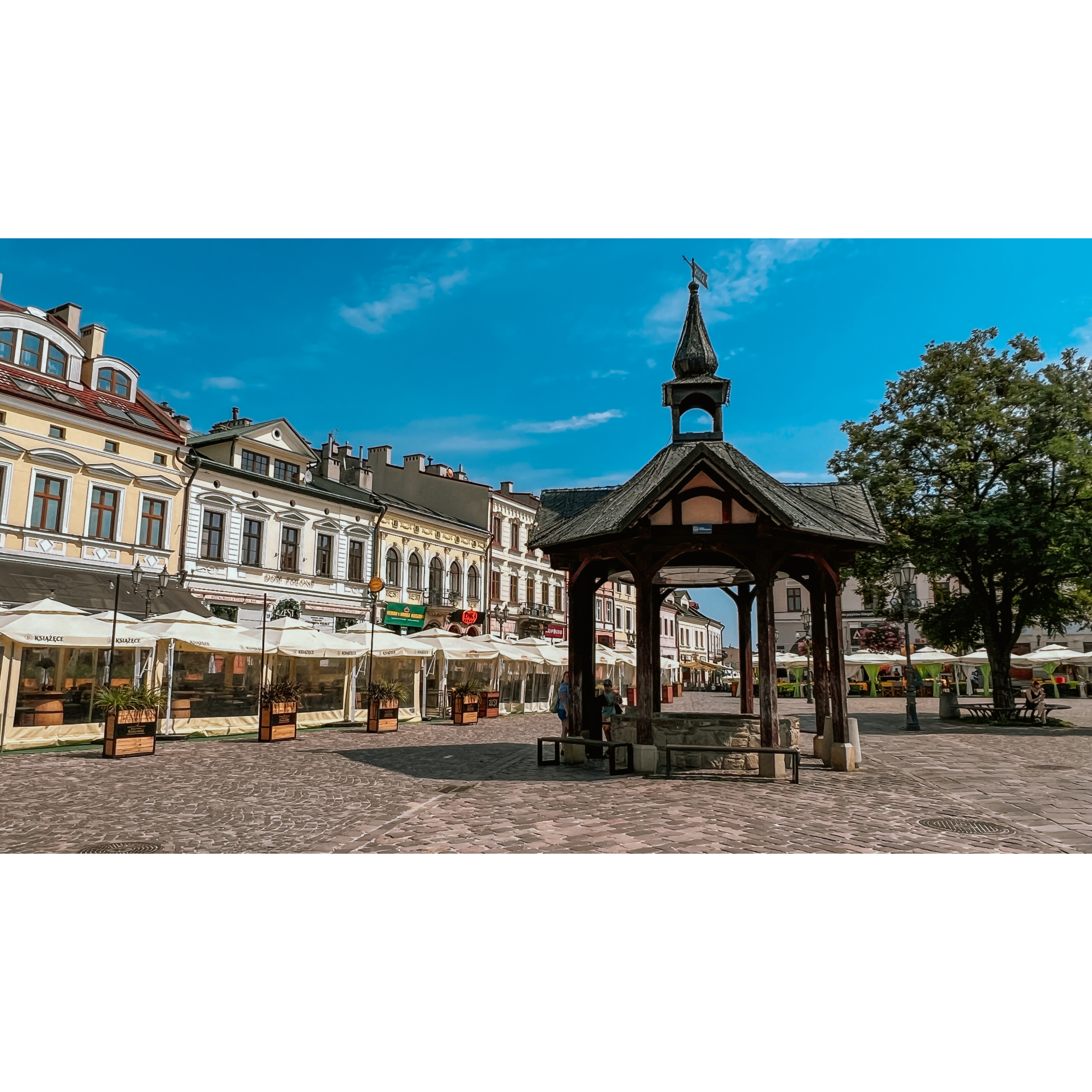
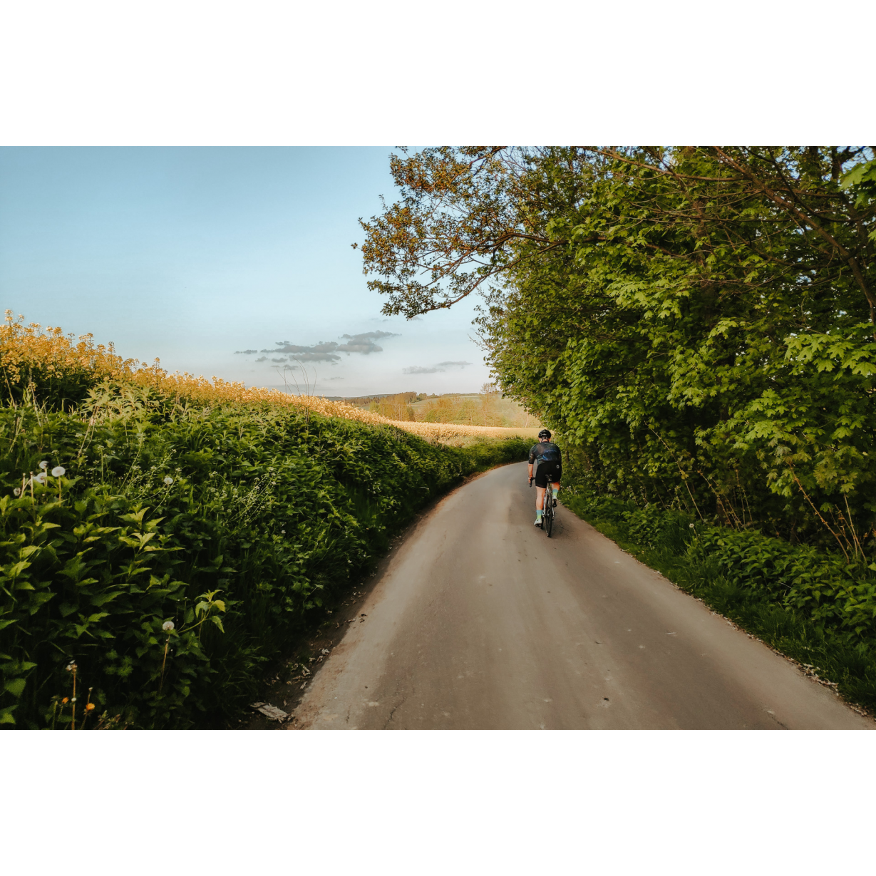
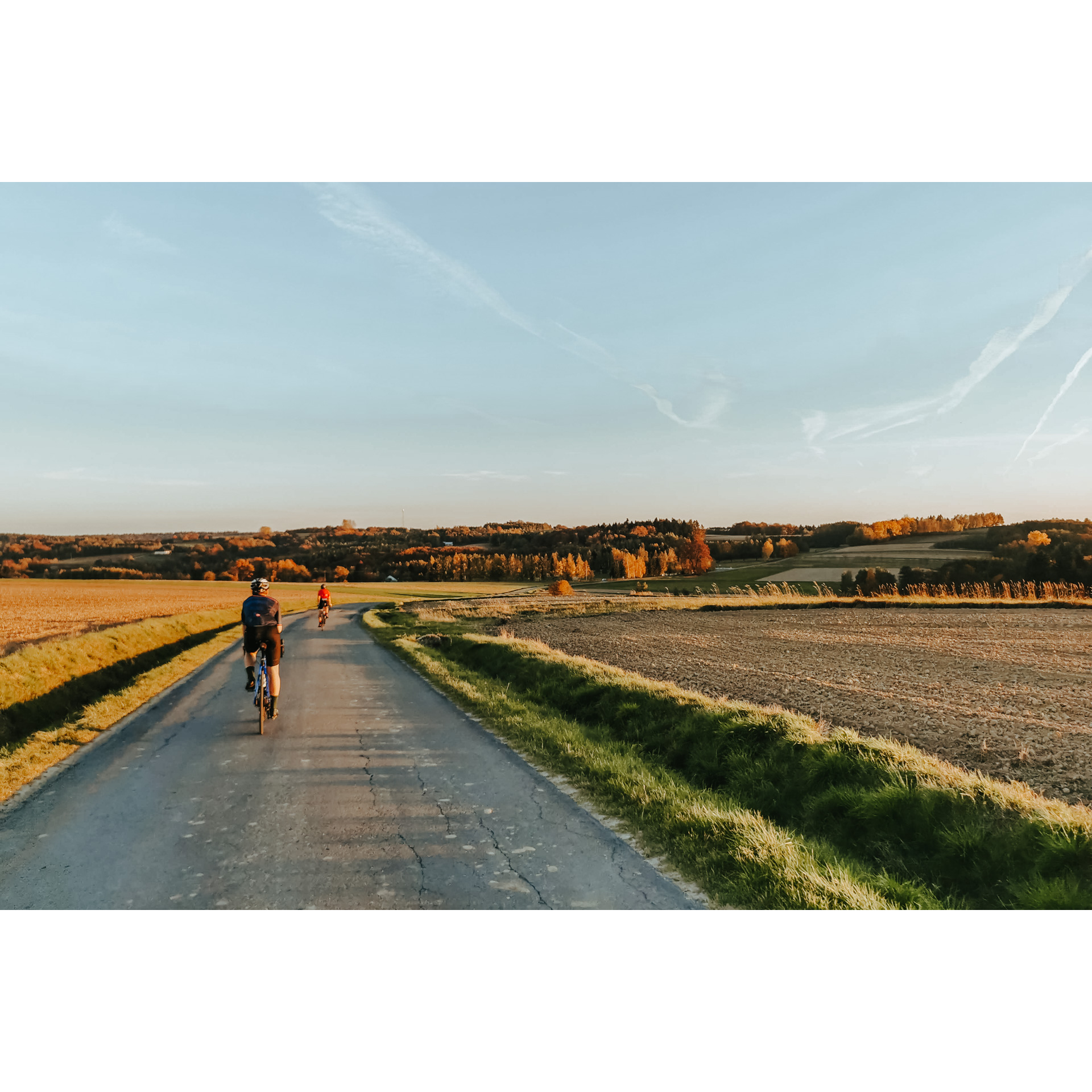
An attractive route, leading partly through urban areas and partly through the hills and forests of the Dynów Foothills. It runs mostly through plains and flat areas, but also through numerous hills, which may cause difficulties for beginners, especially in the middle part of the route. It is hard not to notice that this route is very picturesque and allows you to observe nature and both urban and rural buildings. The proposed tour route runs partly through Rzeszów, which turns out to be full of interesting places to visit.
Practical advices
Although this route is not demanding, it is worth preparing for it properly, so that nothing surprises you at any point. Start with the most important thing, which is your helmet. A good helmet is essential for your safety. Take care also of proper lighting, both front and rear. In addition to bike lights, equip your bike with reflectors so that you are highly visible on the road.
What else is worth taking with you on a trip? Make sure to pack a sweatshirt or a rail jacket in your backpack, in case the weather changes. It is also a good idea to bring snacks to give you energy during the trip. Protein bars or energy mousses work well.
If you plan to take visit the attractions along the route, you will need to leave your bike behind in some places. To make sure it is still there after the tour, be sure to bring a bike safety device such as a U-Lock or any bicycle lock.
Rzeszów and its surroundings
Audiodeskrypcja tekstowa
Route details
Rzeszów – Załęże – Krzemienica – Handzlówka – Malawa – RzeszówStart
- 1Rzeszów, Hetmańska Street0 kmRzeszów, Hetmańska Street
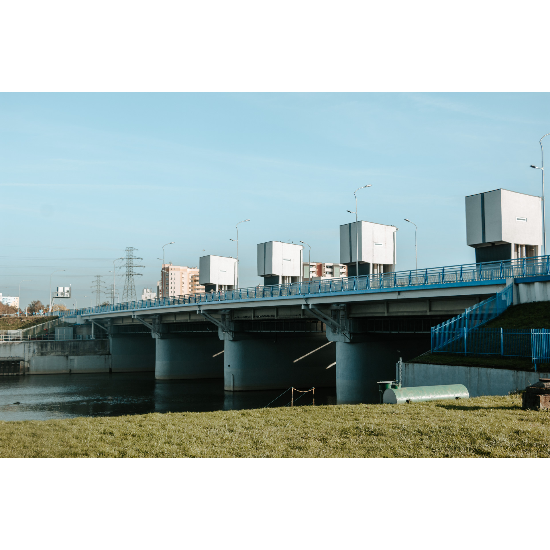
You set off from one of the main streets of the city. Choose the Stal Rzeszów stadium as your starting point. Head initially towards the centre and turn right into Lenartowicza Street. Follow it until you see a large modernist-style building on your right, this is Podpromie Hall. Passing the massive building, you will enter the cycle path along the Wisłok river. Turn left and ride along the river bank. On the way, you will pass 2 bridges, Zamkowy and Narutowicza, the so-called rainbow bridge. Go onto the third bridge, Lwowski Bridge. Continue along Lwowska Street to the Pobitno roundabout. You can walk around the cemetery next to it; there are many interesting gravestones, including the mausoleum of Colonel Lis-Kula, the hero of independence. This is a distinctive red sandstone gravestone which you will find in the second alley, on the left. At the roundabout, turn left and again, with a slight curve, turn left into Konfederatów Barskich Street. At the junction with Załęska street, take the other one. This will take you to Sieciecha street, which in turn will take you to the Rzeszów bypass, national road no. 97. Cross the overpass over the railway tracks and turn right at the roundabout. Remember not to take the expressway, but choose the route behind the sound screens.
- 2Załęże7.6 kmZałęże
When you reach Primary School no. 6, continue along Rubinowa Street eastwards through housing estates. It is worth turning left into Nefrytowa Street to drive along the edge of the forest. When you enter Hr. Potocki Street, follow it for 450 m before turning sharply right. Be careful at the railway crossing. In Krasne, follow the main road and go left at the end. You will be riding along the East of Poland Cycling Trail Green Velo. In Strażów, go straight through a junction. You will reach Krzemienica without deviating from the main route.
- 3Krzemienica18.6 kmKrzemienica
You will exit at the crossroads by the Community Centre. Go straight ahead, avoiding the building. You will come to a crossroads with national road no. 94 on a winding road amidst single-family housing. Cross it, and at the intersection among the fields, turn right, heading for the nearby Solidarity Cross. The road continues to Kraczkowa. Continue straight on, turning only 1.8 km past a large junction in the village; turn right, keeping to the main road. This will take you to the village of Cierpisz. Behind the school, turn left and continue along the estate road to another intersection, where you will also turn left. This brings you to the edge of the forest. 300 m into it there is a cross with a bench, a nice place to rest. Continue along the forest, turning left with it. At a bifurcation in the valley, take the left-hand side. Pass through a cluster of buildings and continue straight ahead. This will take you to the ski lift in Handzlówka.
- 4Handzlówka32.9 kmHandzlówka
Among fields and sparse buildings you will come to an intersection; turn right and after 50 m turn left. After a few minutes on the dirt road, you will reach a crossroads, and turn sharp right towards the west. Passing the building of the Voluntary Fire Brigade in Błędowa Tyczyńska, go straight on, crossing the regional road no. 877, and after 250 m turn right. At the end of this section, go left and look for a church; drive past it and continue leisurely. After a few minutes, you will find an information board and a rest area on your left. As you continue, do not deviate from the road; at the crossroads make a right turn. Turn left no sooner than at a crossroads, in the middle of which is a bus stop. At the end of the road, take a right and after 150 m take a left. Going straight, you will reach Malawa. On the way, you can stop at the Magdalenka viewpoint. In good weather, you can even see the Tatra Mountains from there!
- 5Malawa45.5 kmMalawa
Leave the village along the main road, passing the church and the OSP (Volunteer Fire Department) building. Soon you will find yourself in Rzeszów, in the Wilkowyja housing estate. Along Słocińska and Wieniawskiego streets, you will reach the crossroads with Storczykowa street. Turn into it and then into Krokusowa and Jaśminowa Streets. You will find yourself at the back of Rzeszów Cathedral. When you cross Sikorskiego Street, enter Nowowiejska Street and follow it to Graniczna Street. From there, take Cicha and then Kwiatkowskiego Streets to the vicinity of Karpacki Bridge. In the distance, you will see the stadium, the starting point of your adventure.
- 6Rzeszów – Karpacki Bridge55.6 kmRzeszów – Karpacki Bridge
Your trip ends at the Karpacki Bridge.
Attractions near this route
Gallery

Check other routes


