Rzeszów and its surroundings
Hills and forests located south of Rzeszów
XML, 116.08kB
About this route
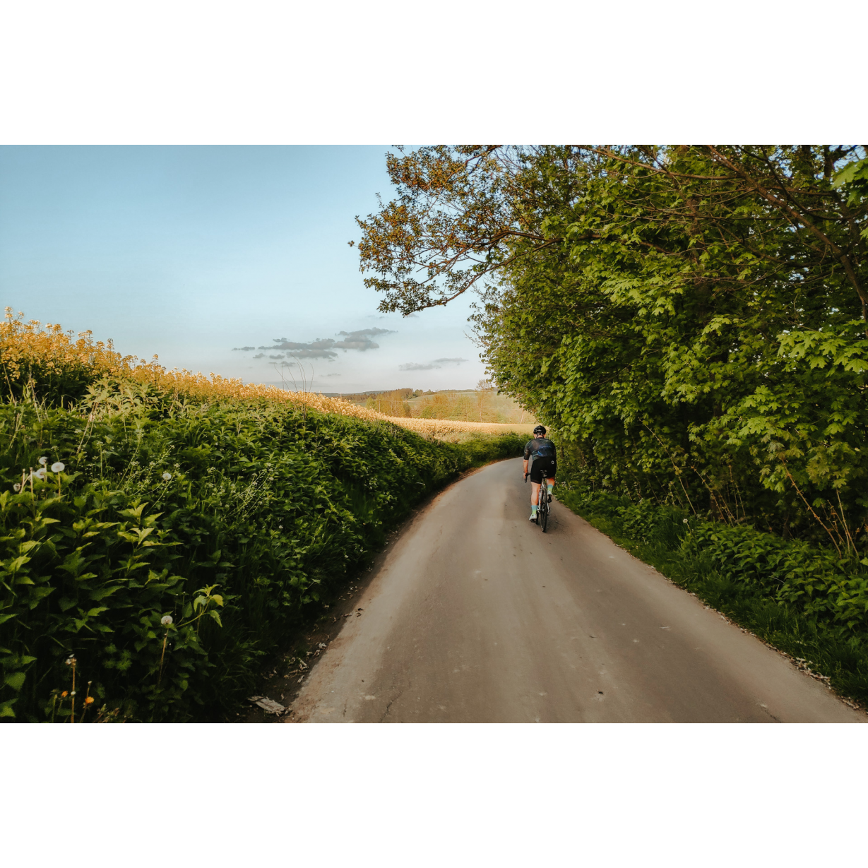
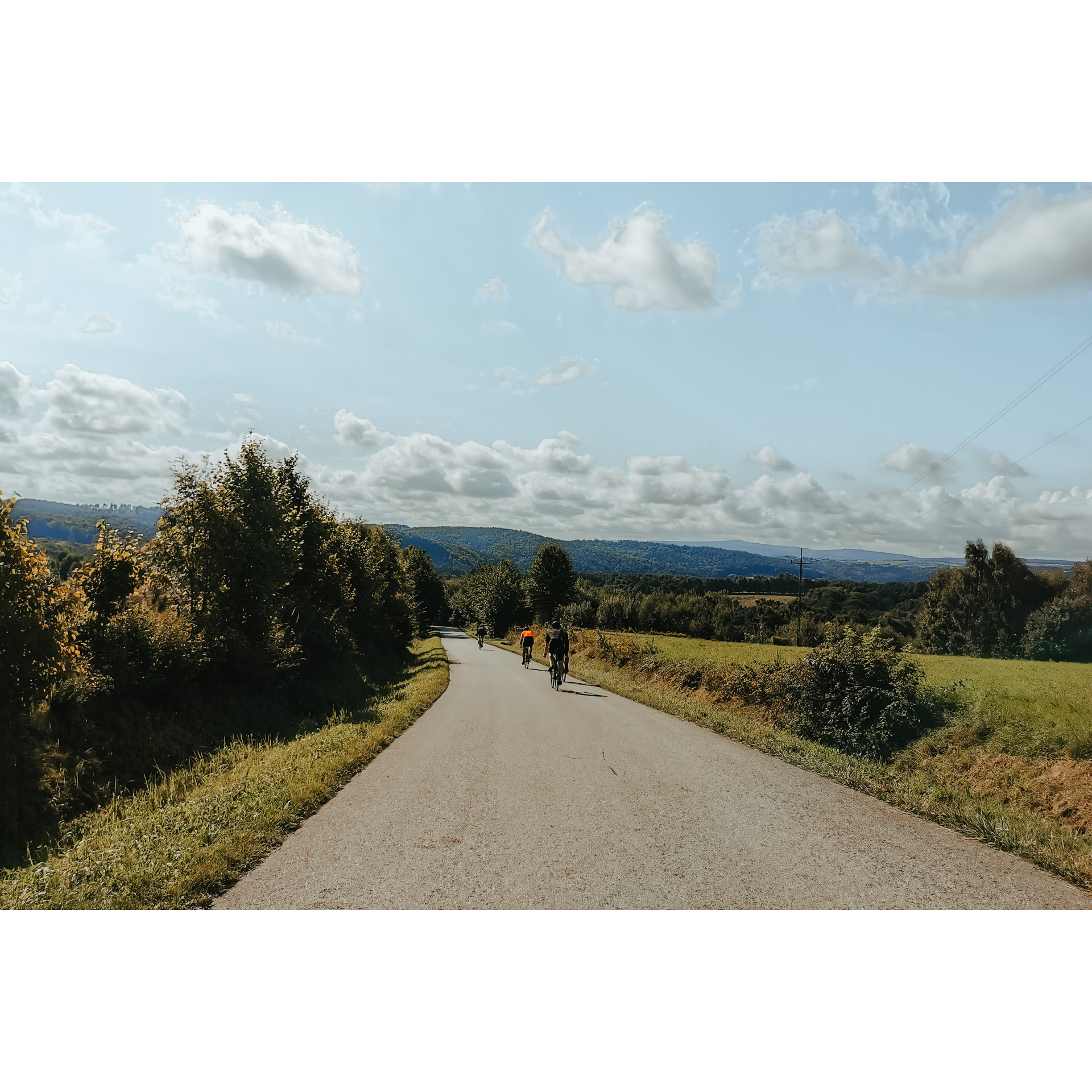
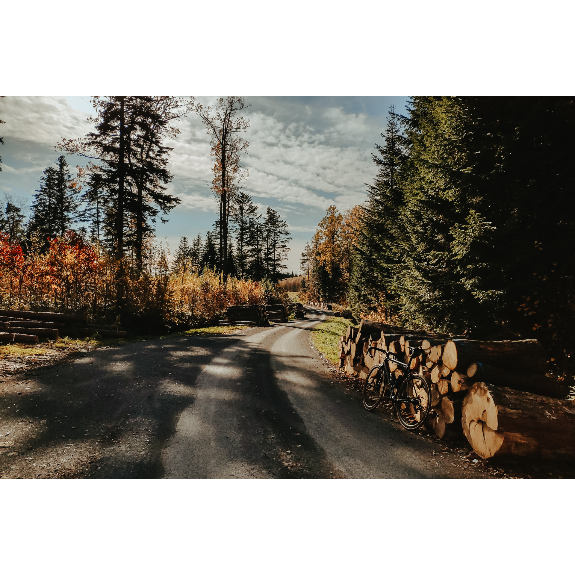
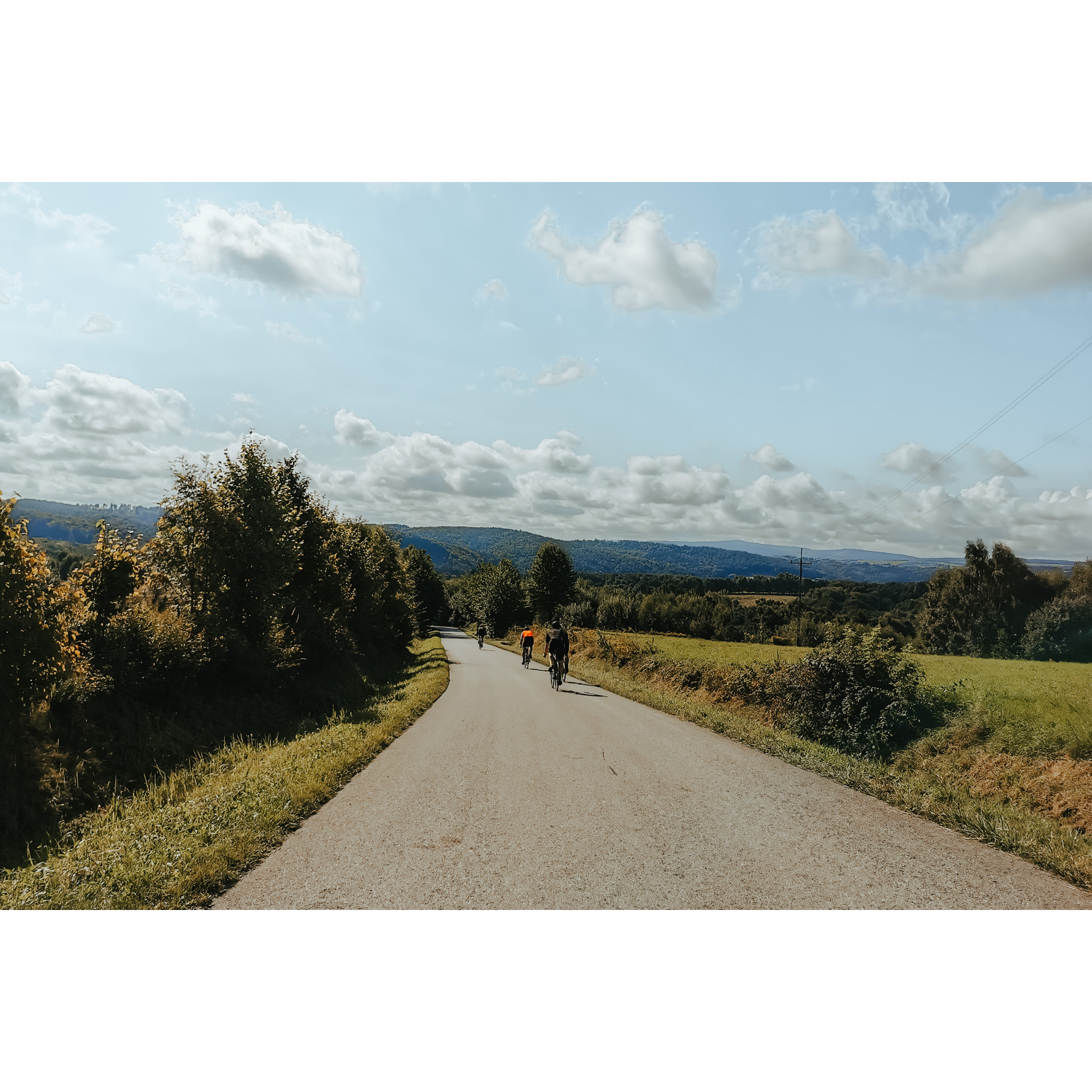
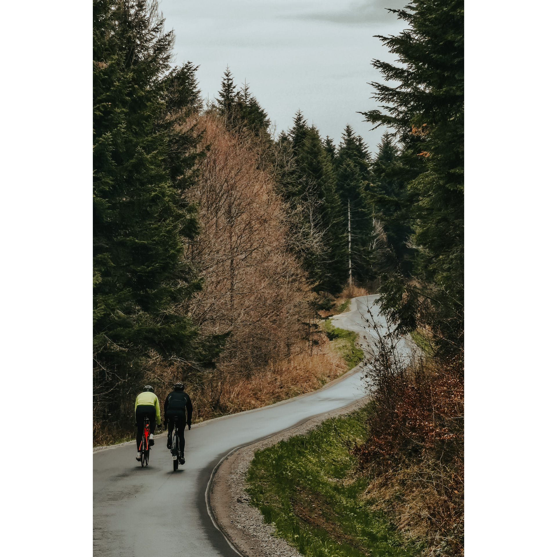
Typowo widokowa trasa, która prowadzi przez pogórze na południe od Rzeszowa. Znajdują się tu liczne wzgórza i lasy, punkty widokowe i kapliczki. Będzie tu wiele miejsc do odpoczynku na łonie przyrody, zarówno zagospodarowanych, jak i przygodnych, na powalonych drzewach czy kamieniach polnych. Droga jest w większości asfaltowa, lecz są to boczne drogi wąskie i mało uczęszczane. Warto co jakiś czas odbijać z głównej trasy na lewo i prawo, by zobaczyć miejsca objawień, krzyże i cmentarze.
Practical advices
A route with a moderate level of difficulty will allow you to test your fitness. Remember that the terrain has a huge impact on how many kilometres you can cover. Trails on flat roads are less strenuous than those on hills or mountain roads.
Planning a group trip? Match the route to the fitness of the weakest participant.
A helmet and light clothing made of breathable materials will be essential for safety and comfort on the route. Other than that, only put on the essentials. Heavy luggage will make your ride more difficult. Also, think about what you will carry the necessary items in. We suggest a backpack or panniers for your bike.
Be prepared for possible breakdowns on the route. It is a good idea to carry the most important tools for a quick fix, such as inner tubes or patches, a pump or a multi-tool. Make sure you have enough water and food, as well as navigation equipment.
Is it looking like a warm and sunny day? Remember sunscreen and sunglasses. If you are planning sightseeing or other activities along the route, a bike lock will also be very useful. Before you leave, carefully examine your route for the trip. Consider whether your skills and equipment are adequate for the level of difficulty of the route.
Rzeszów and its surroundings
Audiodeskrypcja tekstowa
Route details
A typical scenic route that leads through the foothills south of Rzeszów. There are numerous hills and forests, viewpoints and chapels. There will be plenty of places to rest in nature, both managed and casual, on fallen trees or field stones. The road is mostly asphalt, but these side roads are narrow and little used. It is worth deviating from the main route from time to time to see apparition sites, crosses and cemeteries.Start
- 1Rzeszów-Drabinianka0 kmRzeszów-Drabinianka
Your route starts in Rzeszów's Drabinianka housing estate. You may choose Karpacki Bridge as your starting point. Go east and turn right into Kwiatkowskiego Street, heading for the cycle path along the Wisłok river. You will pass a Żwirownia reservoir and a stopping place for cyclists. This is an old gravel mine which has been transformed into a rest area with a beach, pier and feasting areas. You can also rent canoes there in the summer. Take Kwiatkowskiego Street, turn right and look for Senatorska Street, then turn left into Miejska Street. Follow it to Strzelców Street, turn right, then left past Strzelców Street. At the junction with Budziwojska Street, turn right. Keep following it, heading for Siedliska, then Lubenia and Straszydle. You can stop at the neo-Gothic church in Lubenia or bounce to the Okop settlement north of Straszydle. Continue along the main road, at the junction by the bus stops go straight on. You will reach the Sołonka Forestry, at the end of which turn right and keep to the asphalt road. Through the hills and woods, you will reach Gwoźnica Dolna.
- 2Gwoźnica Dolna28.8 kmGwoźnica Dolna
In Gwoźnica Dolna you can take a break at Zagroda Pogórzańska, the Julian Przyboś Biographical Museum or the Czarnatówka viewpoint. The museum is housed in one of the peasant cottages, similar to the one the poet grew up in. On your way back, find the crossroads by the bus stop you passed earlier, taking the route to the right. At the first intersection, turn left until you reach the familiar junction by the forest. Head into the woods and arrive at Straszydle. Before the bus stop, go right following the signpost to Tyczyn. After 3.2 km, at the crossroads, turn left onto the East of Poland Cycling Trail Green Velo. In Hermanowa, turn gently to the left and at the crossroads, by the statue of St Florian, turn towards the church. Continue straight on Podleśna street. On the way, you can visit the place of revelations in Studzianka. When you reach the end of the road in Budziwój, turn right and after 200 m turn left. Follow the familiar route along Strzelców, Miejska, Senatorska, Jana Pawła II and Kwiatkowskiego streets. Perhaps you'll be tempted to take a rest at the Żwirownia Reservoir?
- 3Rzeszów58.3 kmRzeszów
From the Żwirownia Reservoir, head towards the city centre and then enter the Karpacki Bridge. This is where your route ends.
Attractions near this route
Gallery
Check other routes


