The Low Beskid
Through the Red Trail through the Beskid uplands
XML, 144.63kB
About this route
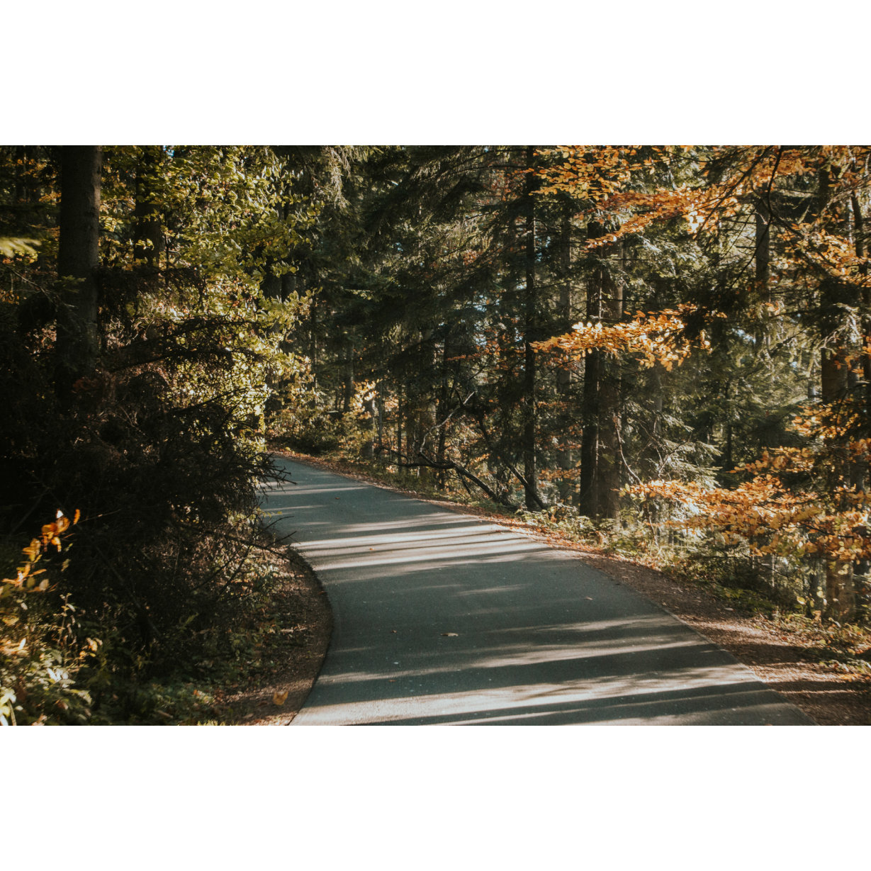
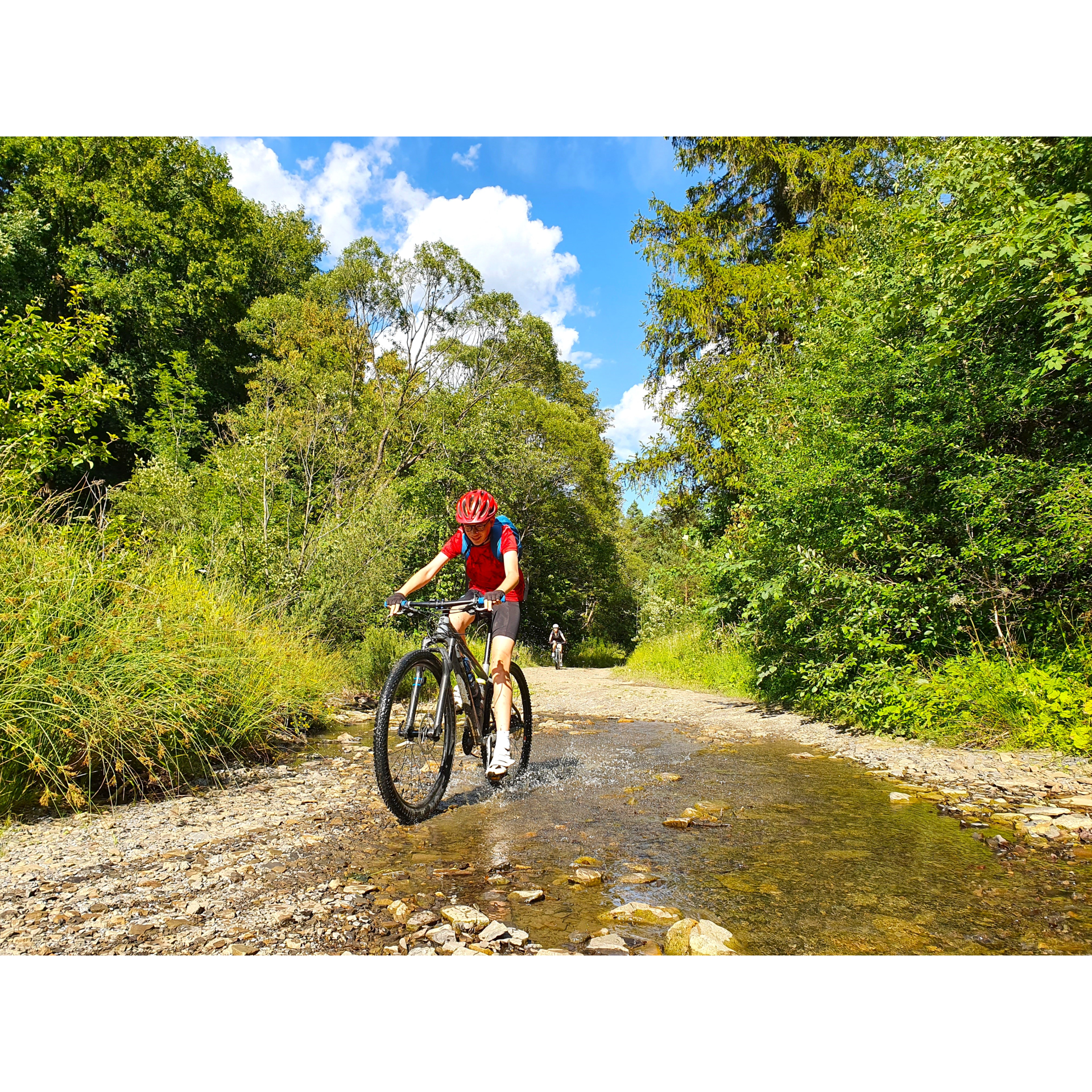
A difficult and demanding route, mainly following the red hiking trail through the forested hills between Jaśliska, Puławy, Wisłok Wielki, and Moszczańce. There are many uphill and downhill sections, rough terrain, and the need to navigate through challenging terrain, making it unsuitable for leisurely rides or family trips. However, it is a great adventure for those who enjoy cycling through forested areas!
Practical advices
When preparing for a route, be sure to check the weather forecast. This will allow you to take appropriate clothing and limit your luggage as much as possible. However, it is well known that the weather can be unpredictable, so be prepared if it gets worse. It is good practice to pack a thin rain jacket that does not take up much space.
Before starting the route, carefully analyse it on a map. Consider whether your skills and equipment are adequate for the level of difficulty of the route.
Download the accompanying .gpx file so that you always have your navigation at hand. To make sure your device doesn't fail you, also bring a power bank, charger or spare batteries. If the weather changes, you may find it useful to have a waterproof case for your electronic equipment.
Be sure to take drinks and food with you on long journeys; you never know when you will get hungry. Remember that a shop or restaurant may be located a long way away. We recommend that you stock up on water, isotonic drinks, energy bars and snacks. This will make sure you don't lose the motivation to continue riding.
The absolute basis for safety is, of course, a helmet. Also, prepare yourself technically. Make sure you have adequate lighting on your bike. Pack a repair kit. Spare inner tubes, a pump, a multitool, all of these things can come in handy in the event of a breakdown, which of course you don't want!
Beskid Niski
Audiodeskrypcja tekstowa
Route details
Jaśliska – Zawoje – Wisłok Wielki – JaśliskaStart
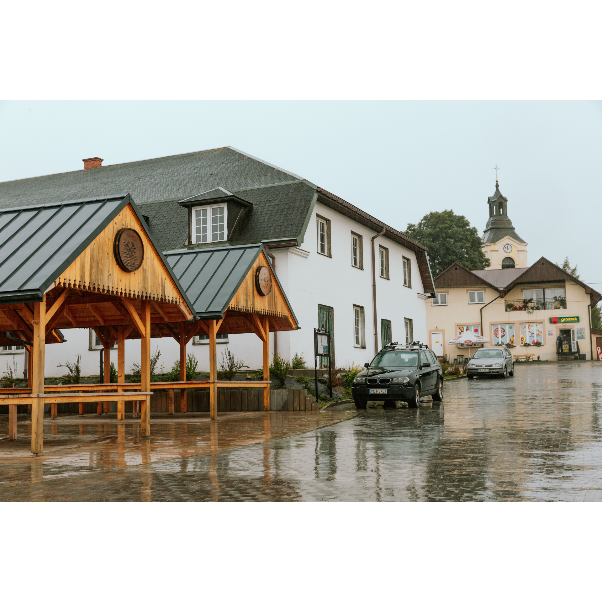
- 1Jaśliska0 kmStart trasy – zabytkowy rynek, regionalna kuchnia, murale, punkt z wodą dla rowerzystów.
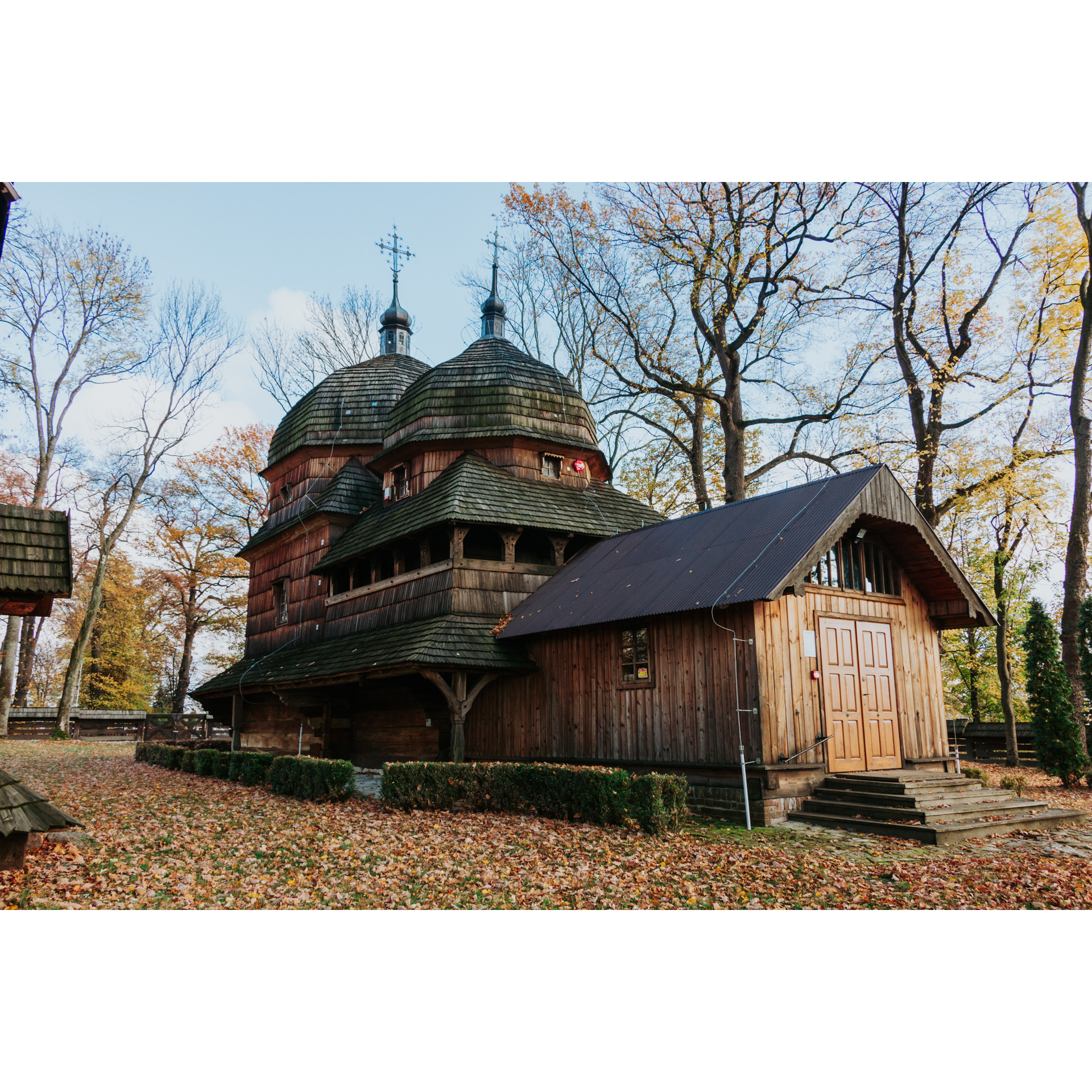
- 2Wola Niżna4 kmŁemkowska cerkiew, kapliczka, miejsce odpoczynku z grillem.
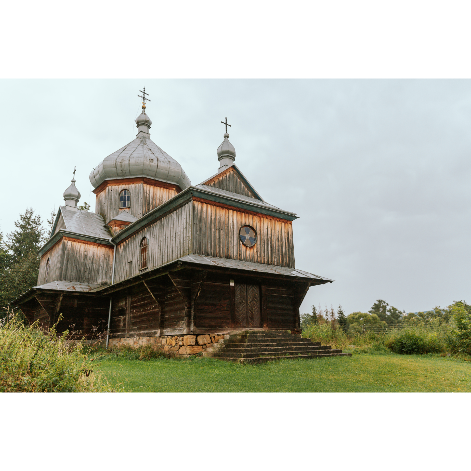
- 3Wisłok Wielki21 kmDawna cerkiew, regionalna kuchnia w „Przedbieszczady”, tradycyjna łemkowska hyża.
- 4Tokarnia27 kmWymagająca wspinaczka na szczyt z panoramą Beskidu Niskiego i Tatr.
- 5Surowica35 kmOpuszczona wieś z krzyżami – ślad po łemkowskiej historii.
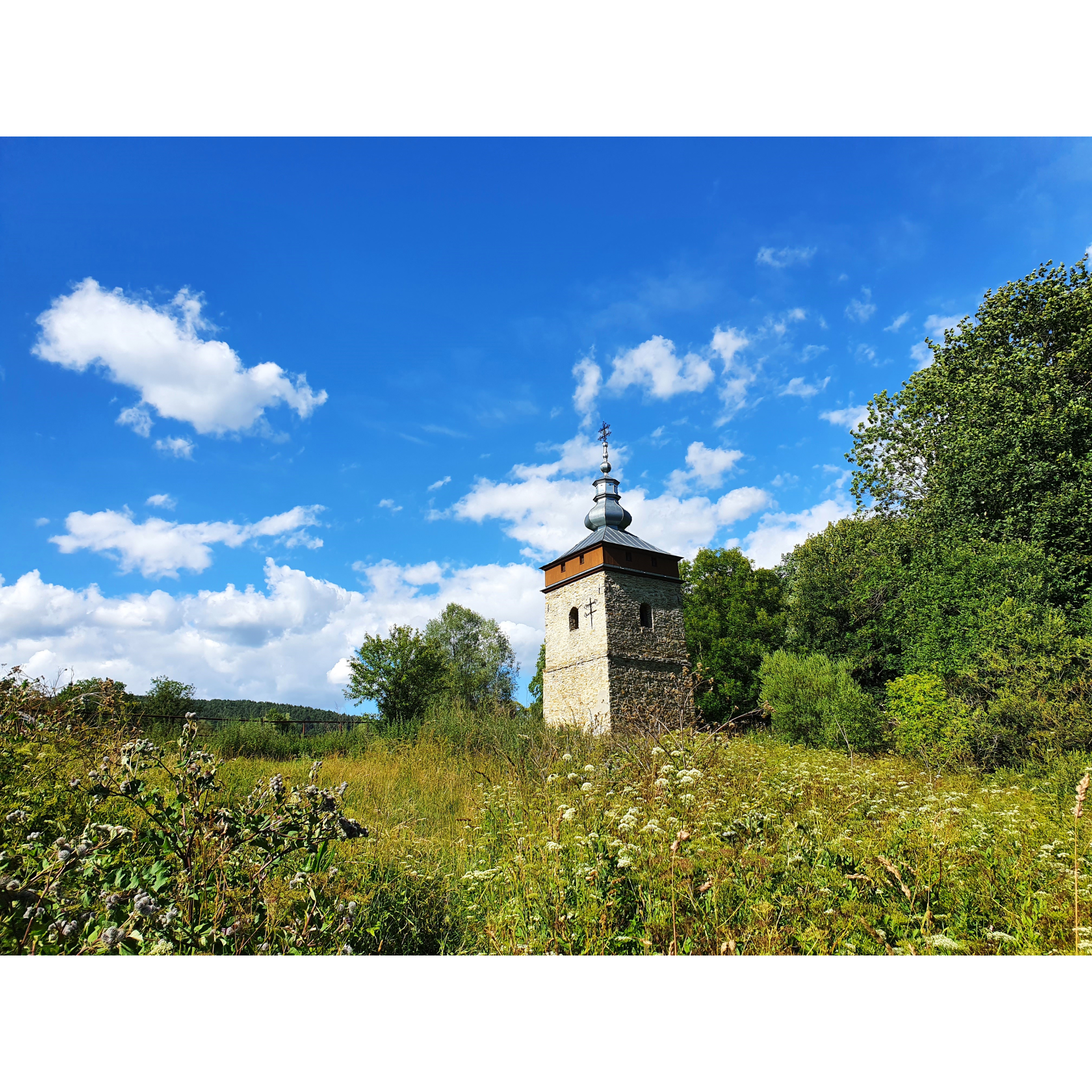
- 6Polany Surowiczne41 kmDolina z dzwonnicą, cmentarzem i wiatą turystyczną.
- 7Szachty45 kmPunkt odpoczynku z widokiem, wiata przy trasie.
- 8Posada Jaśliska51 kmKapliczka i krzyż na Wierzchgorze – lokalne miejsce kultu i refleksji.
- 9Jaśliska56 kmPowrót na rynek – odpoczynek, kuchnia regionalna, zabytkowy klimat.
Attractions near this route
Gallery
Check other routes


