Rzeszów and its surroundings
Around the Zabłocie Nature Reserve
XML, 121.25kB
About this route
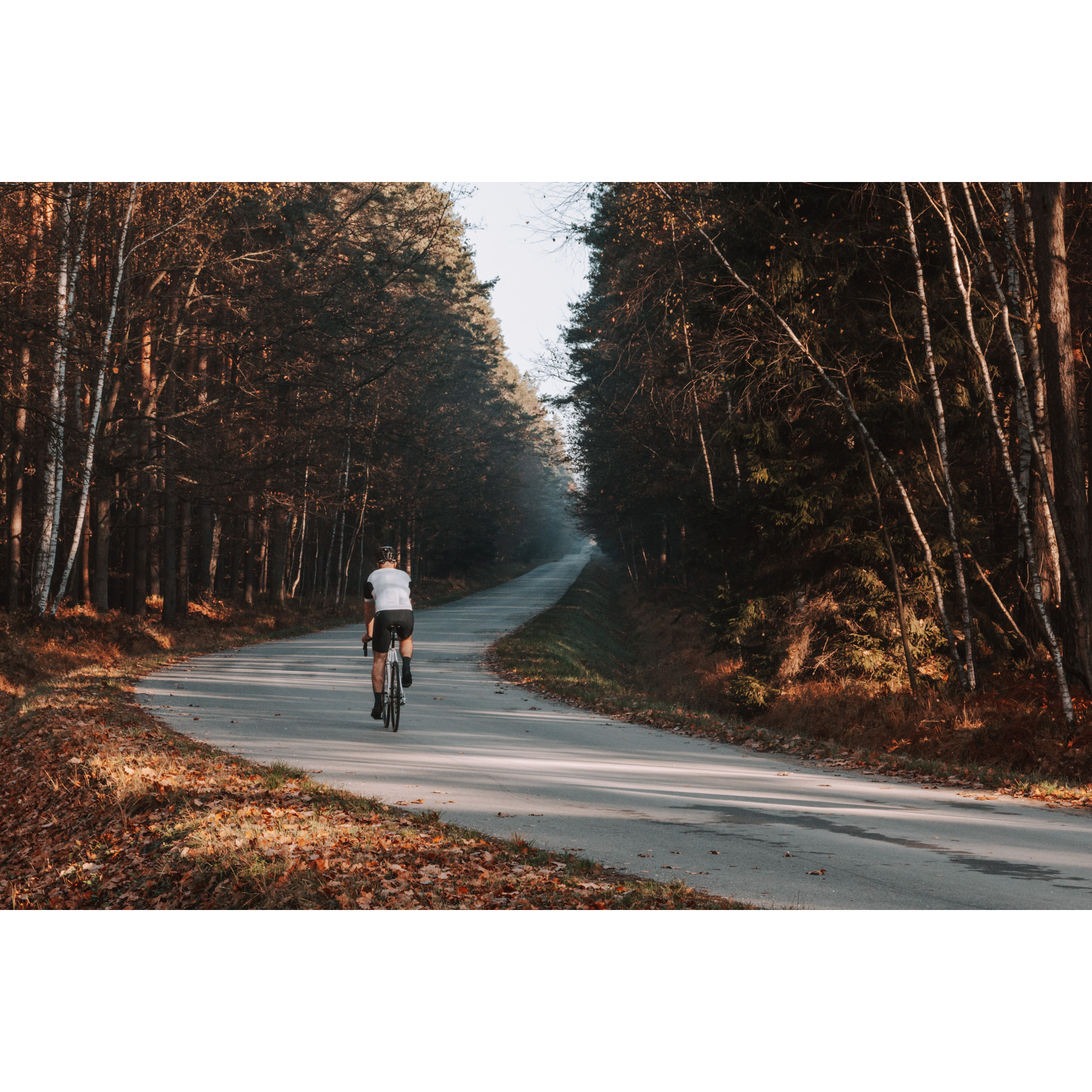
Pleasant but challenging over a considerable distance route that takes you through the northwestern areas of Rzeszów. Leading mostly through fields and forests, it also allows you to enjoy architectural and historical experiences in towns and cities in the immediate vicinity of Rzeszów.
Practical advices
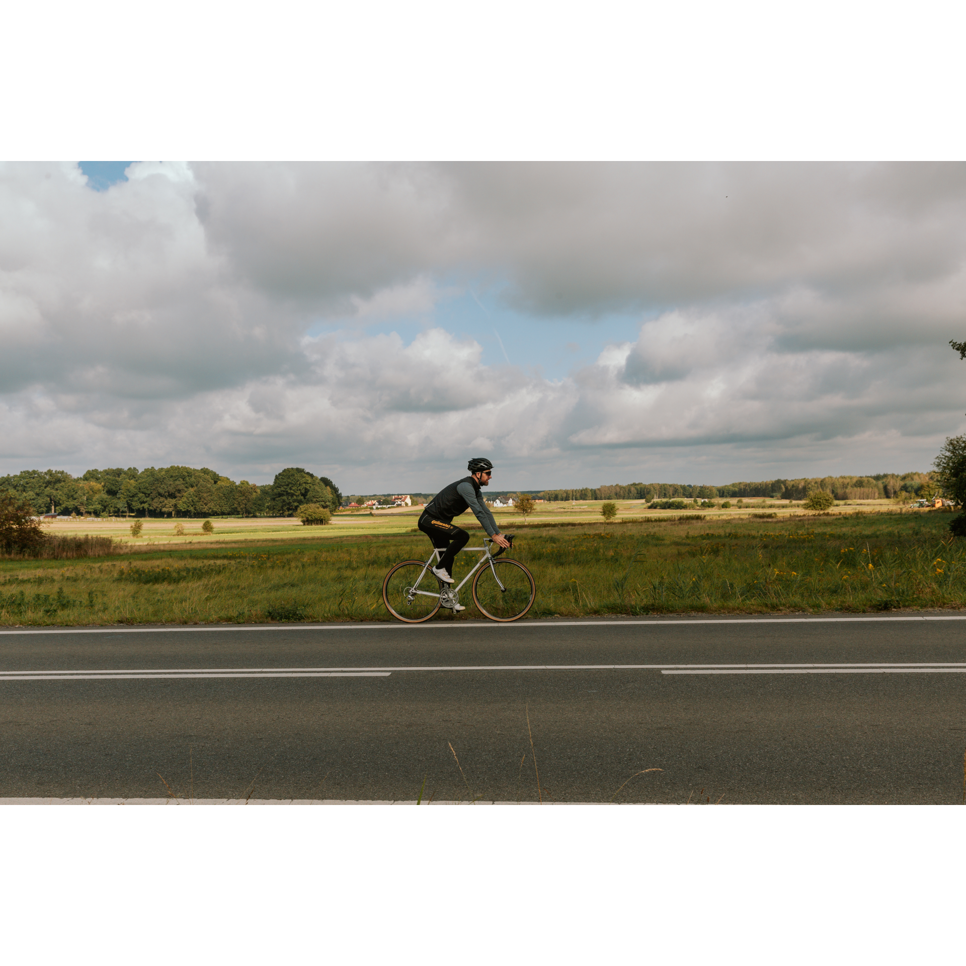
A route with a moderate level of difficulty will allow you to test your fitness. Remember that the terrain has a huge impact on how many kilometres you can cover. Trails on flat roads are less strenuous than those on hills or mountain roads.
Planning a group trip? Match the route to the fitness of the weakest participant.
A helmet and light clothing made of breathable materials will be essential for safety and comfort on the route. Other than that, only put on the essentials. Heavy luggage will make your ride more difficult. Also, think about what you will carry the necessary items in. We suggest a backpack or panniers for your bike.
Be prepared for possible breakdowns on the route. It is a good idea to carry the most important tools for a quick fix, such as inner tubes or patches, a pump or a multi-tool. Make sure you have enough water and food, as well as navigation equipment.
Is it looking like a warm and sunny day? Remember sunscreen and sunglasses. If you are planning sightseeing or other activities along the route, a bike lock will also be very useful. Before you leave, carefully examine your route for the trip. Consider whether your skills and equipment are adequate for the level of difficulty of the route.
Rzeszów and its surroundings
Audiodeskrypcja tekstowa
Route details
Rzeszów – Głogów Małopolski – Kolbuszowa – RzeszówStart
- 1Tadeusz Mazowiecki Bridge in Rzeszów0 kmTadeusz Mazowiecki Bridge in Rzeszów
You will start today from the vicinity of Tadeusz Mazowiecki Bridge in Rzeszów. This is a cable-stayed bridge in which the weight of the roadway is supported by cables attached to the main pylon, which is 108.5 metres high!
Drive down from the bridge to the Ulmów Family Roundabout and turn right. Traveling along Lubelska Street, you will notice new housing estates and commercial buildings, and beyond them, dense thickets along the Wisłok River. Turn right at the Gmina Trzebownisko welcome sign, which resembles the vertical stabilizer of an aircraft. Head towards the village centre, and when you pass the primary school, turn left. You will be sure about the route as you pass the municipal office and the church. Then, you will enter the regional road 878. Head north, passing by the Blue Diamond Hotel, the A4 motorway viaduct, and the Rzeszów-Jasionka Airport area. At the roundabout near the Aeroklub Rzeszowski headquarters, go straight, and just after the church, veer slightly to the left. You will now be passing through the rapidly developing economic zone in Jasionka, with numerous industrial facilities in the aviation and mechanical industries. Turn right at the bus loop, heading north and crossing a small bridge over a stream. You will enter the village of Wysoka Głogowska, characterized by fairly compact buildings that will accompany you for several kilometres until you pass the school, community centre, church, and the Volunteer Fire Department station. Go straight past the fire station, heading toward the nearby forest. Through the dense pine forest, a remnant of the once-vast Sandomierz Primeval Forest, you will reach the outskirts of Głogów Małopolski. If you rarely find yourself in such places, take a break and enjoy the tranquility of the old forest.
- 2Głogów Małopolski19 kmGłogów Małopolski
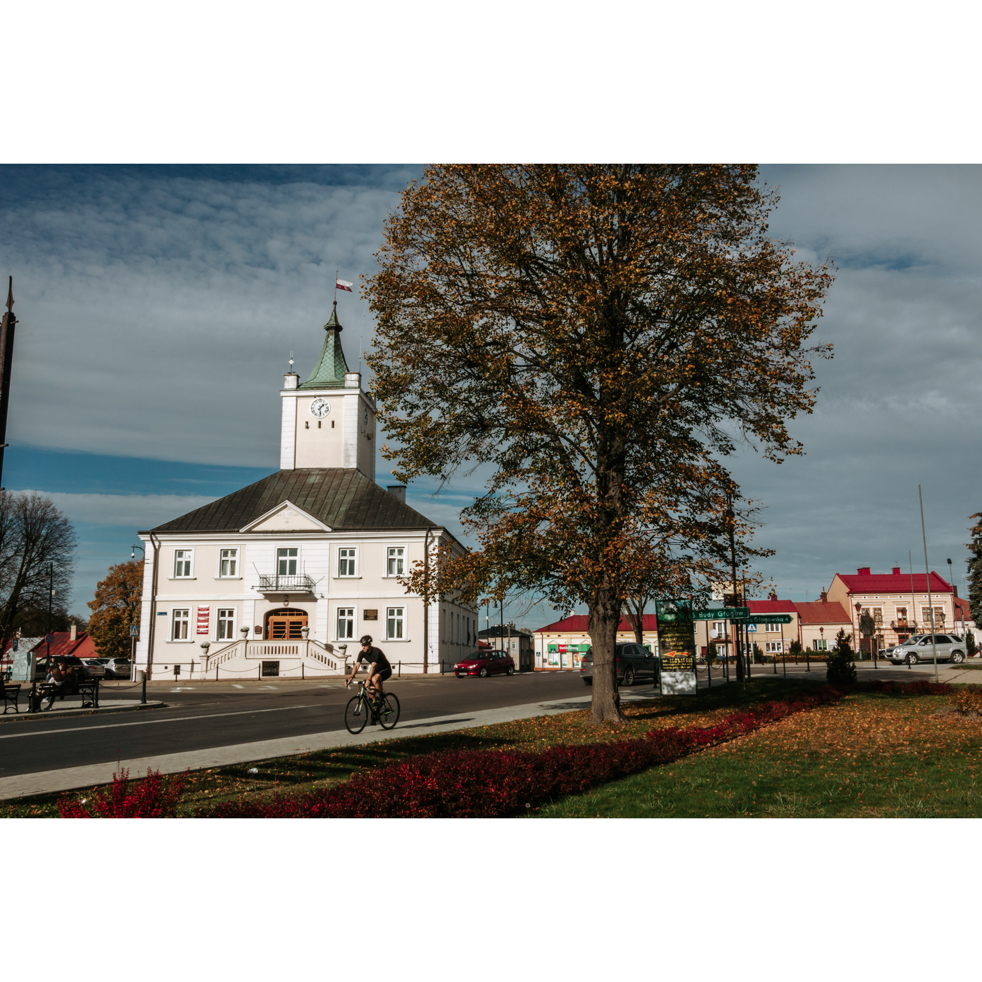
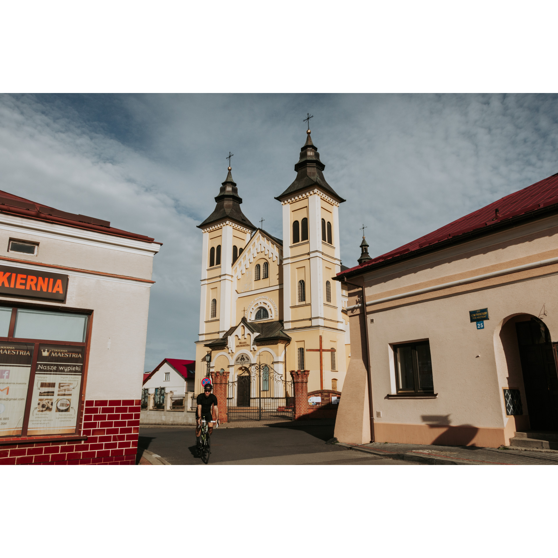
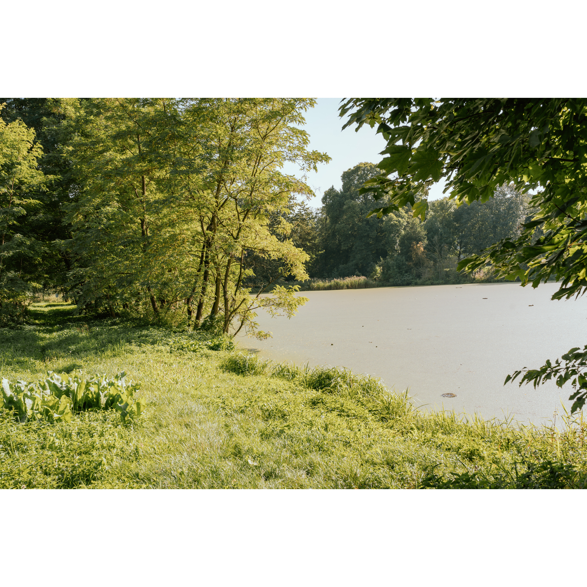
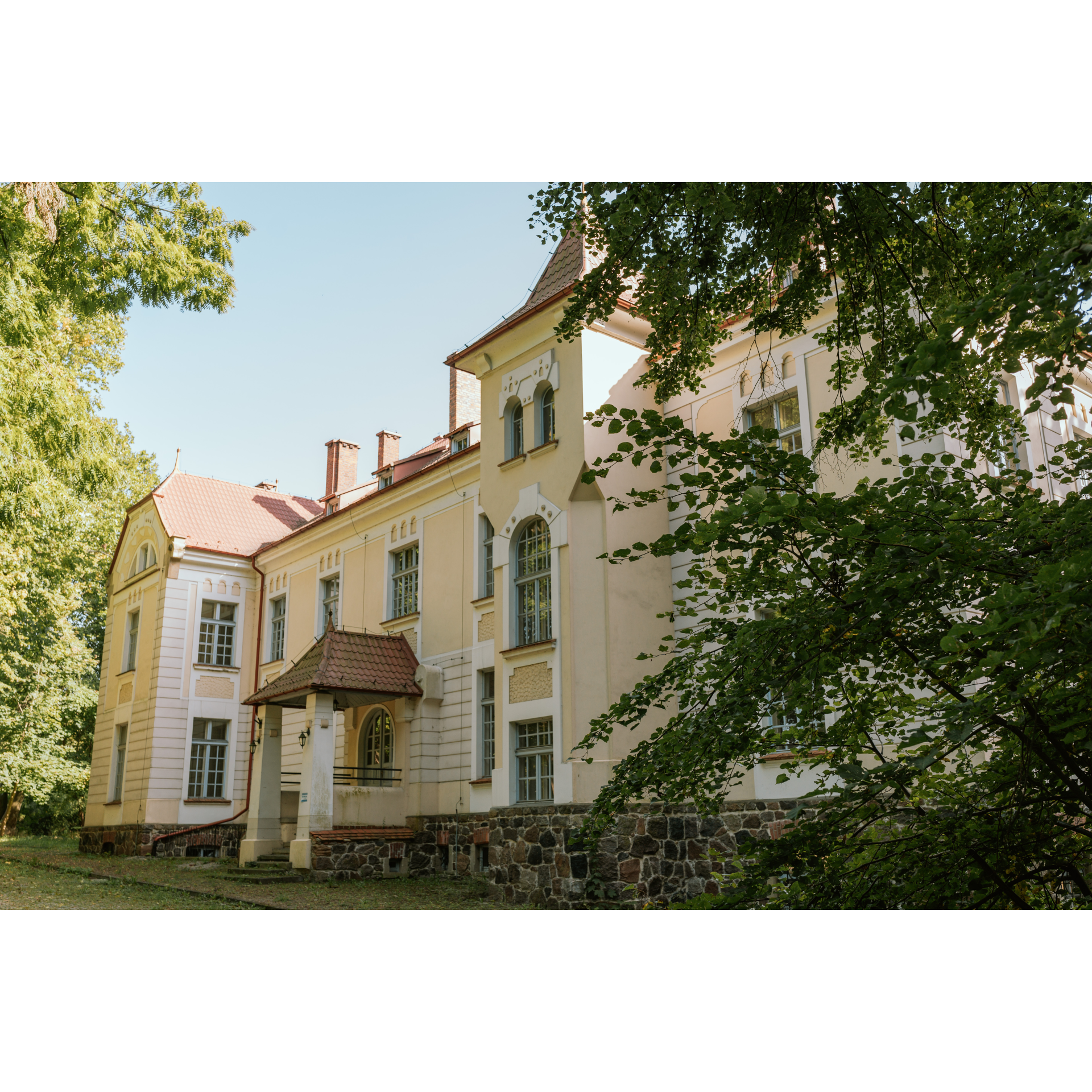
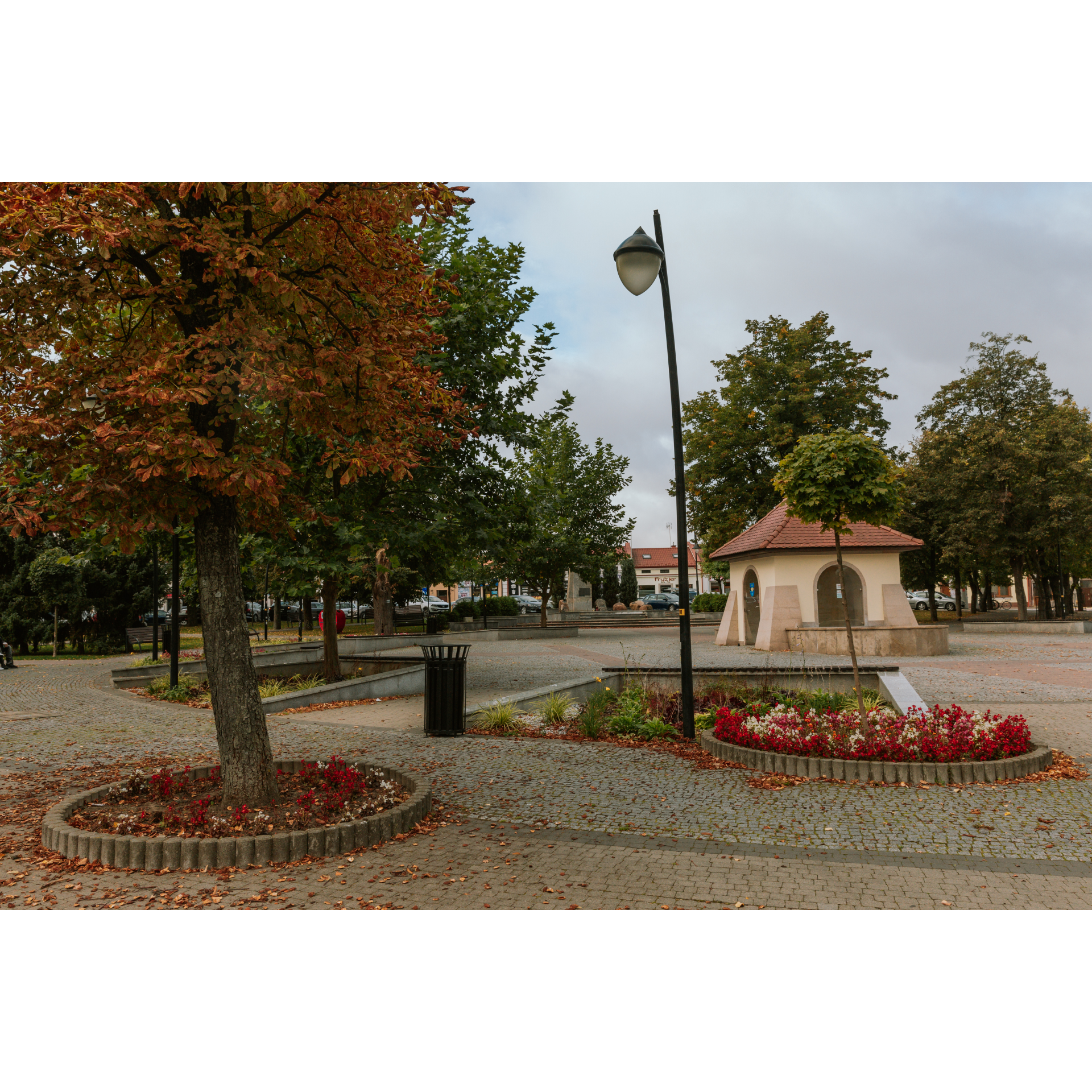
You will enter the market square in Głogów Małopolski via Leśna and Wojska Polskiego streets. You may not believe it, but this small town was designed on a Renaissance plan, much like many Italian cities or Zamość! Take a look at the streets symmetrically leading out from the square, its division into quarters, and the centrally located town hall with a symmetrical front and stairs. In the northeast corner, you will find the neo-Gothic Church of the Holy Trinity, a sanctuary of Our Lady of Głogów. Leave the square via Sikorskiego Street, turning right onto Wygoda Street, and continue for 1.5 km. Following this route, you will reach Styków. Without changing your course, head north, passing by the high-voltage power line, and through fields and small woods until you reach Przewrotne. In the village, you will reach the manor park – go around it. You will confirm your route as you pass a small pond and a small forest a few hundred meters further. Drive straight through the next village, Pogwizdów Stary, and cross the forest to reach Raniżów. On the market square, take the left onto Armii Krajowej Street. It turns into regional road no. 875. Stay on this road for the next 10 km. During this time, you will pass Nowy Dzikowiec and Dzikowiec, as well as numerous wayside shrines and crosses. After Dzikowiec, turn left according to the sign for Kolbuszowa Centrum, leaving road no. 875. When you pass a wayside cross before Werynia, look to the left. On a flat area measuring 1000x1000 metres, adjacent on one side to the road and on the other to the Tyszkiewicz Palace, there was an airfield from 1939-1945, which was used by Polish pilots in September 1939, Soviet pilots in 1944, and occasionally, American pilots. It is worth stopping at the Tyszkiewicz Palace, beautifully restored in the Art Nouveau style. As you drive through the forest in the direction you previously selected, you will reach Kolbuszowa. Turning left from Tyszkiewicz Street onto Kościuszki Street, and then right at the roundabout, you will arrive at the town square.
- 3Kolbuszowa46.3 kmKolbuszowa
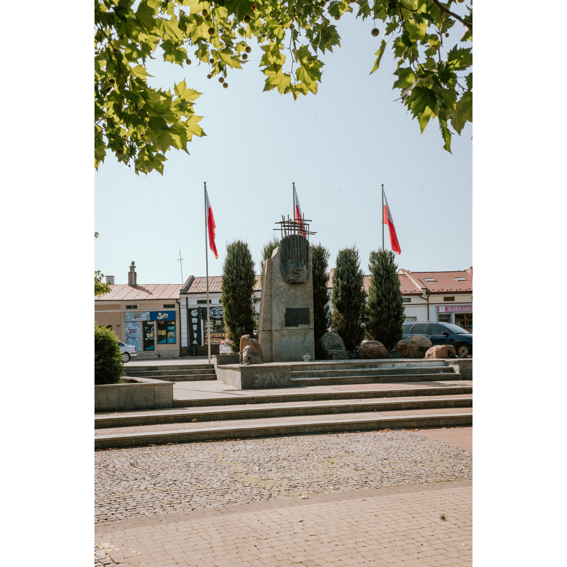
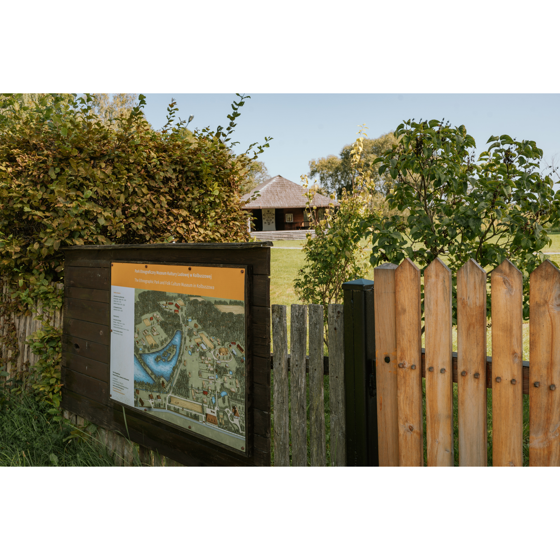
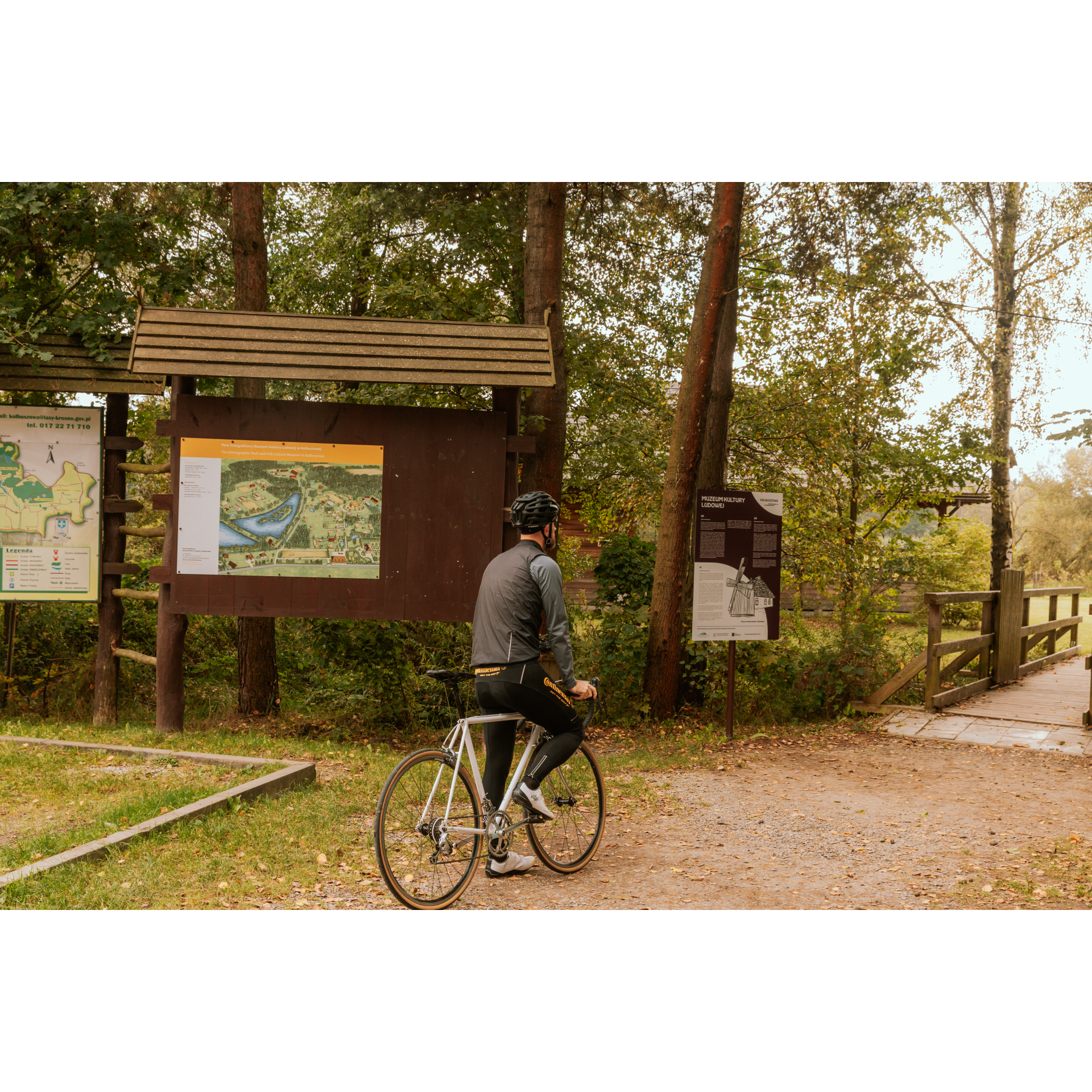
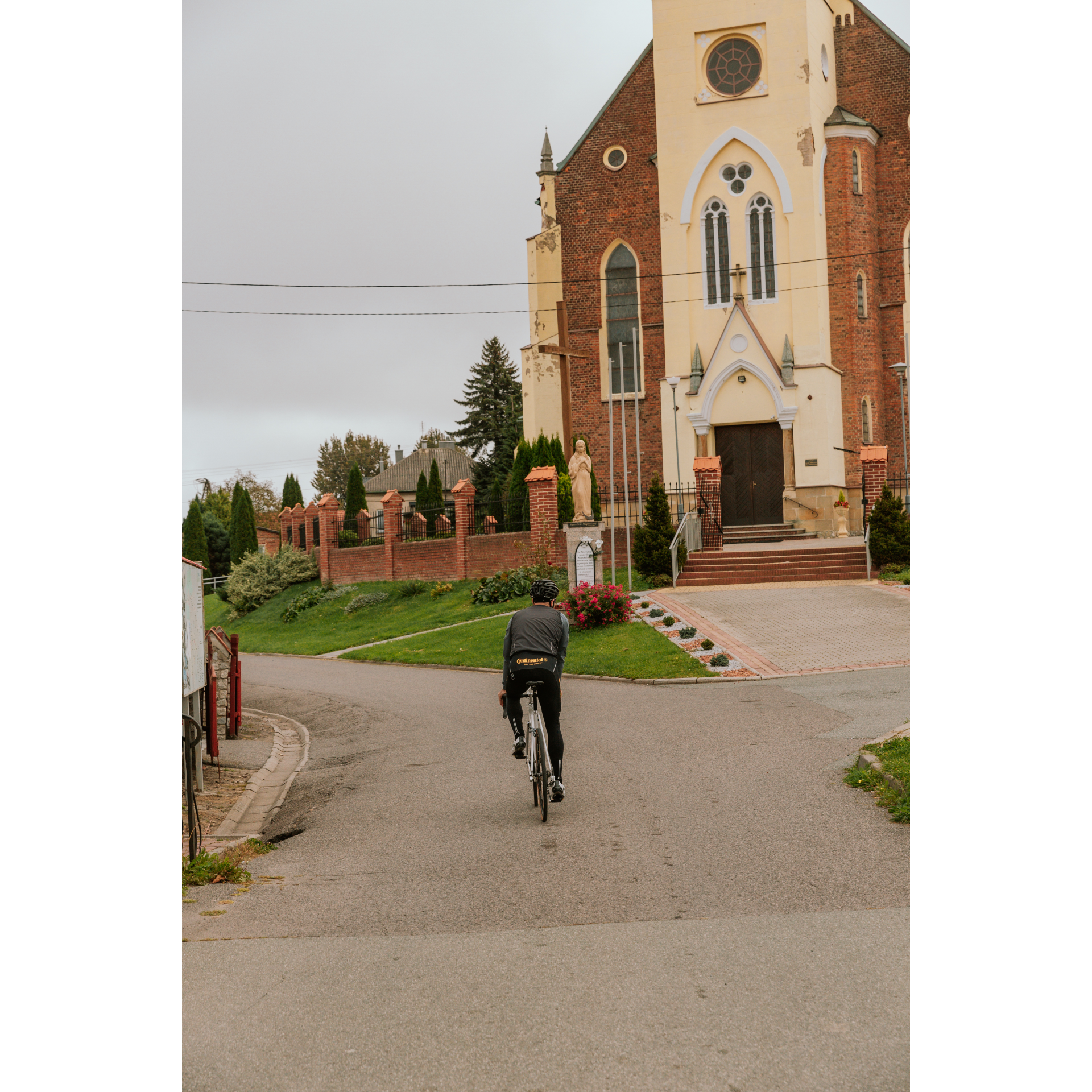
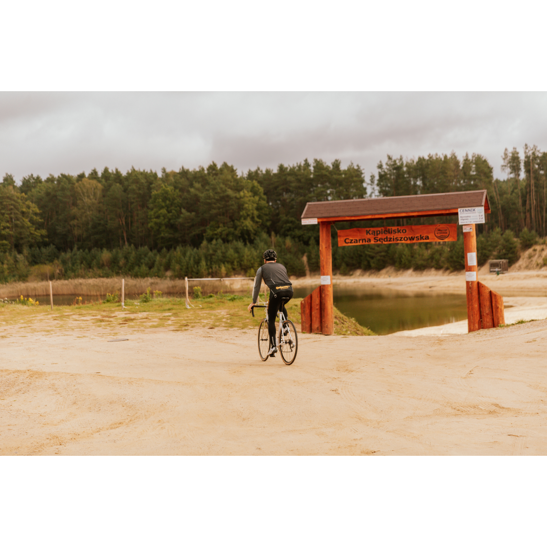
The market square in Kolbuszowa has a typical layout for a small Galician town. It is surrounded by low, one-story or two-story buildings. Nearby, there is also a late Baroque collegiate church. It is worth going inside to admire the altar and benches in the presbytery, true masterpieces of woodcarving. Leave the square on Piłsudski Street heading southeast. Although our route continues south, perhaps you will be tempted to visit the open-air museum? On the way, you will find signs that can guide you there. Meanwhile, after leaving Kolbuszowa, take the regional road 987, passing through Bukowiec and Przedbórz. Between these villages, you will encounter peaceful countryside landscapes and small forests that allow you to relax away from the hustle and bustle of everyday life. After Przedbórz, you will come across a large forest complex, part of which is the Zabłocie Nature Reserve. Keep heading straight without changing direction. It is worth stopping at the beaver dam or the fishing ground in Czarna Sędziszowska to take a break by the water. In the latter village, turn left near the health center. The road will take you through forests and fields along water reservoirs and the A4 motorway. Then, drive through the long village of Bratkowice, which stretches for about 6 km. Stay on the main road, which will lead you close to the motorway. When you pass under it through a culvert, turn slightly to the left. In this way, you will reach Mrowla. As you pass through the village, keep an eye out for the neo-Gothic church with its distinctive shape and turn right behind the church, then after about 200 metres, crossing the bridge over the Czarna River, turn left. After a few hundred metres, you will pass over the S19 expressway, with sports facilities - fields and the "Husar" shooting range on your left. Continuing on, you will reach Rudna Wielka - a long village with a Neo-Baroque church dedicated to St. Teresa of the Child Jesus. Reaching a railway crossing, turn right onto Warszawska Street, which will lead you to the intersection with Krogulskiego Street. From here, you should be able to see the bridge from which you started. Head towards it, using the wide bike path on both sides of the road.
- 4Tadeusz Mazowiecki Bridge in Rzeszów82.4 kmTadeusz Mazowiecki Bridge in Rzeszów
Your trip ends near the starting point.
Attractions near this route
Gallery
Check other routes


