Rzeszów and its surroundings
Hills to the east of Brzostek
XML, 73.97kB
About this route
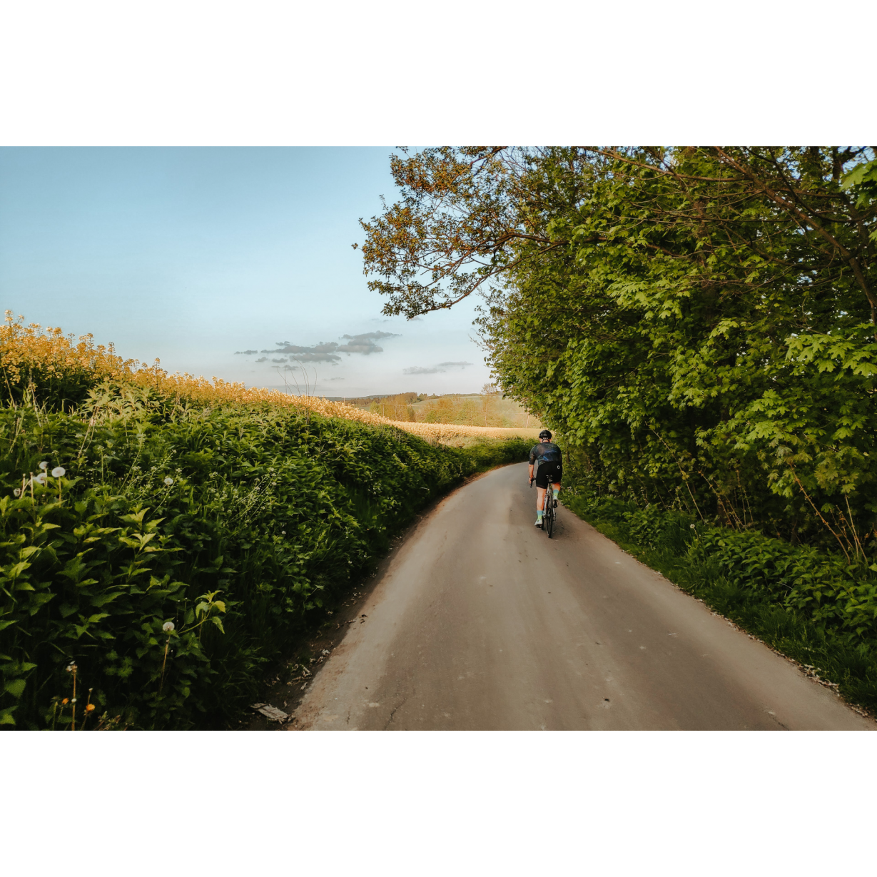
Although the route is not the longest of those we offer, it is very demanding. Many times, you will need to climb steep ascents or give your all where the climbs may be flatter but extend for many kilometres. The route can be described as scenic, with a slight addition of military tourism.
Practical advices
When preparing for a route, be sure to check the weather forecast. This will allow you to take appropriate clothing and limit your luggage as much as possible. However, it is well known that the weather can be unpredictable, so be prepared if it gets worse. It is good practice to pack a thin rain jacket that does not take up much space.
Before starting the route, carefully analyse it on a map. Consider whether your skills and equipment are adequate for the level of difficulty of the route.
Download the accompanying .gpx file so that you always have your navigation at hand. To make sure your device doesn't fail you, also bring a power bank, charger or spare batteries. If the weather changes, you may find it useful to have a waterproof case for your electronic equipment.
Be sure to take drinks and food with you on long journeys; you never know when you will get hungry. Remember that a shop or restaurant may be located a long way away. We recommend that you stock up on water, isotonic drinks, energy bars and snacks. This will make sure you don't lose the motivation to continue riding.
The absolute basis for safety is, of course, a helmet. Also, prepare yourself technically. Make sure you have adequate lighting on your bike. Pack a repair kit. Spare inner tubes, a pump, a multitool, all of these things can come in handy in the event of a breakdown, which of course you don't want!
Rzeszów and its surroundings
Audiodeskrypcja tekstowa
Route details
Brzostek – Stępina – Bączałka – BrzostekStart
- 1Brzostek0 kmBrzostek
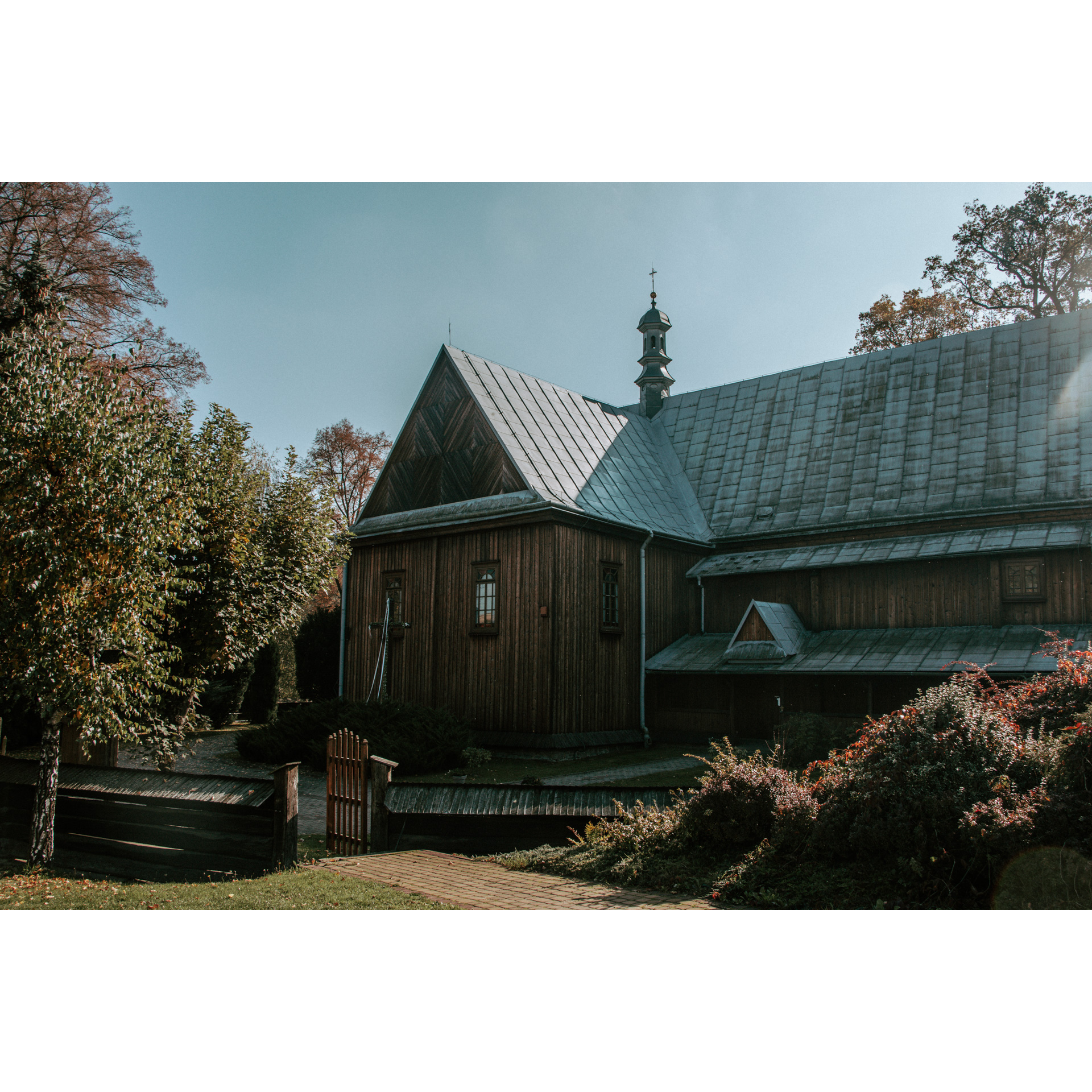
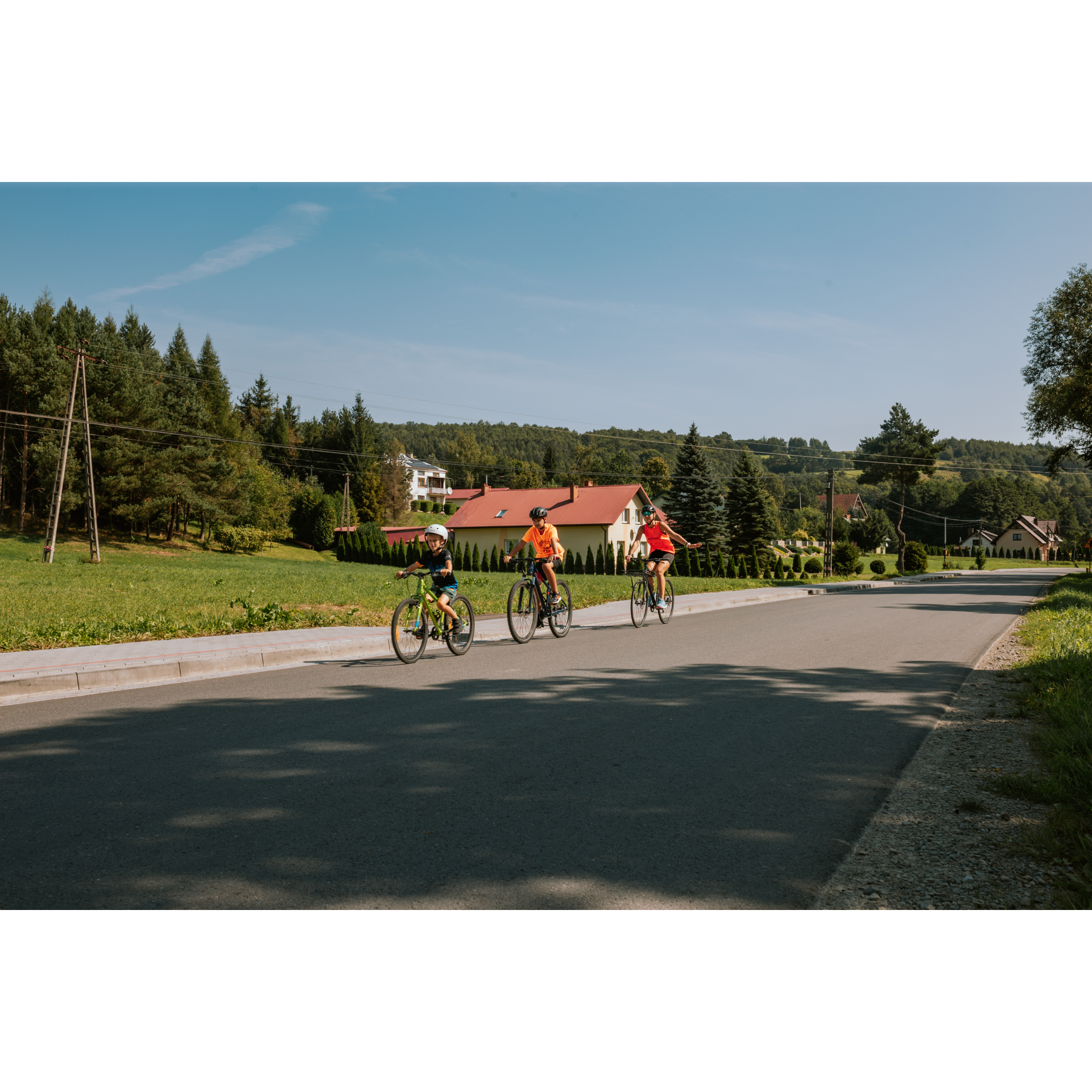
Though the layout of the market square, established when the Brzostek location act was issued in the middle of the 14th century, changed four hundred years later when a new route from Poland to Hungary was constructed, this design is still clearly visible. It has the shape of an irregular rectangle, slightly curved in accordance with the course of the road, beyond which a massive Baroque temple was pushed out. The present one has been in place since the beginning of the 19th century, but from the start, this place was dedicated for religious worship. Depart from the market square towards Kamienica Górna on Nałęcza-Mysłowskiego Street. Stick to it to reach Nawsie Brzosteckie, the first village after the town. Beyond Nawsie, Wola Brzostecka awaits you. Along the way, you will pass sporadic and more clustered rural buildings, and beyond Wola, a low hill overgrown with forest, along whose edge you will ride. Upon reaching Kamienica Górna, turn right at the church. Among scattered farms, you will head back into the forest, continuously climbing upwards. After nearly 1.2 kilometres of dense forest, you will reach the fences of Huta Gogołowska. At the bus stop, continue straight ahead. You will enter another forest complex, which meandering will lead you to the quarry in Stępina.
- 2Stępina14.8 kmStępina
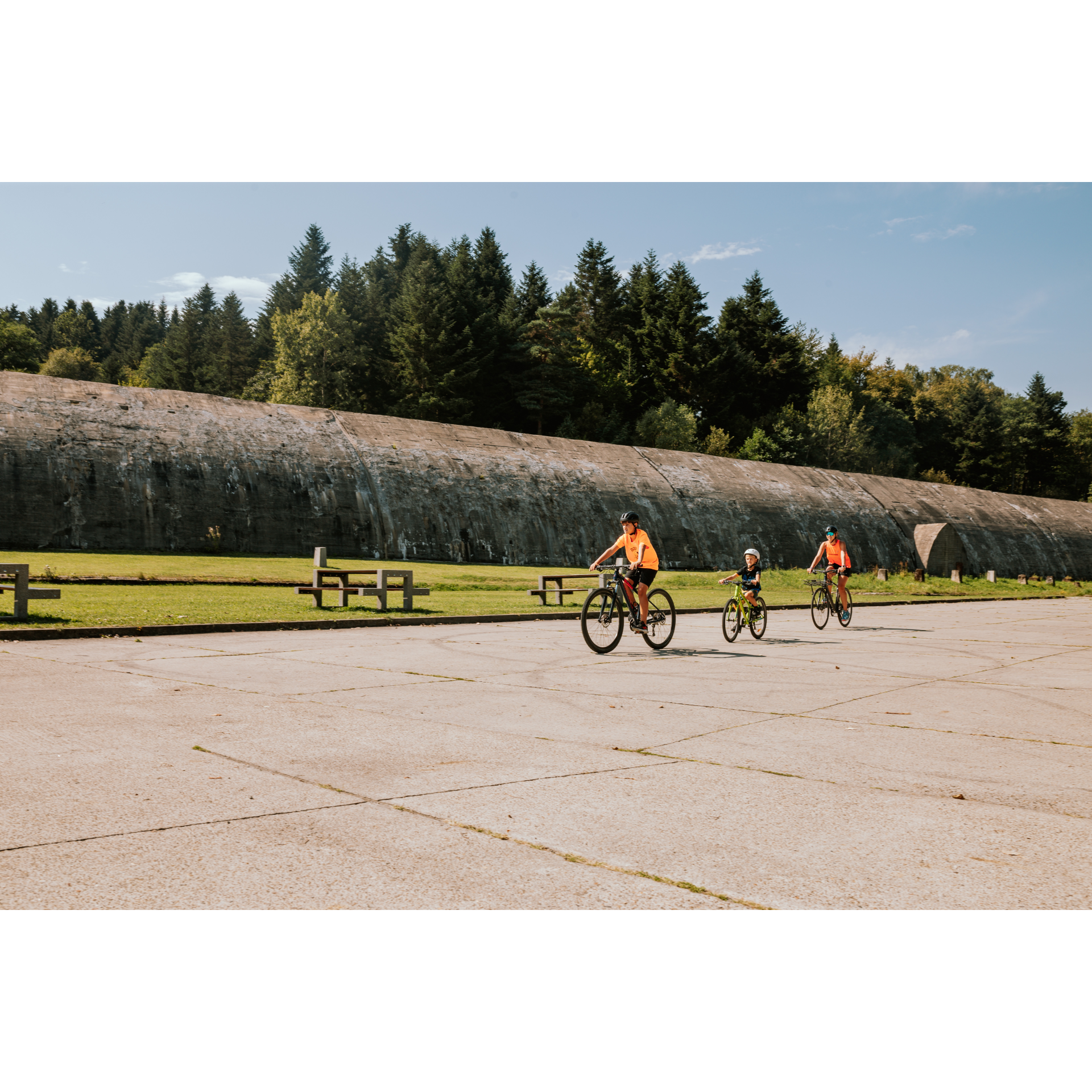
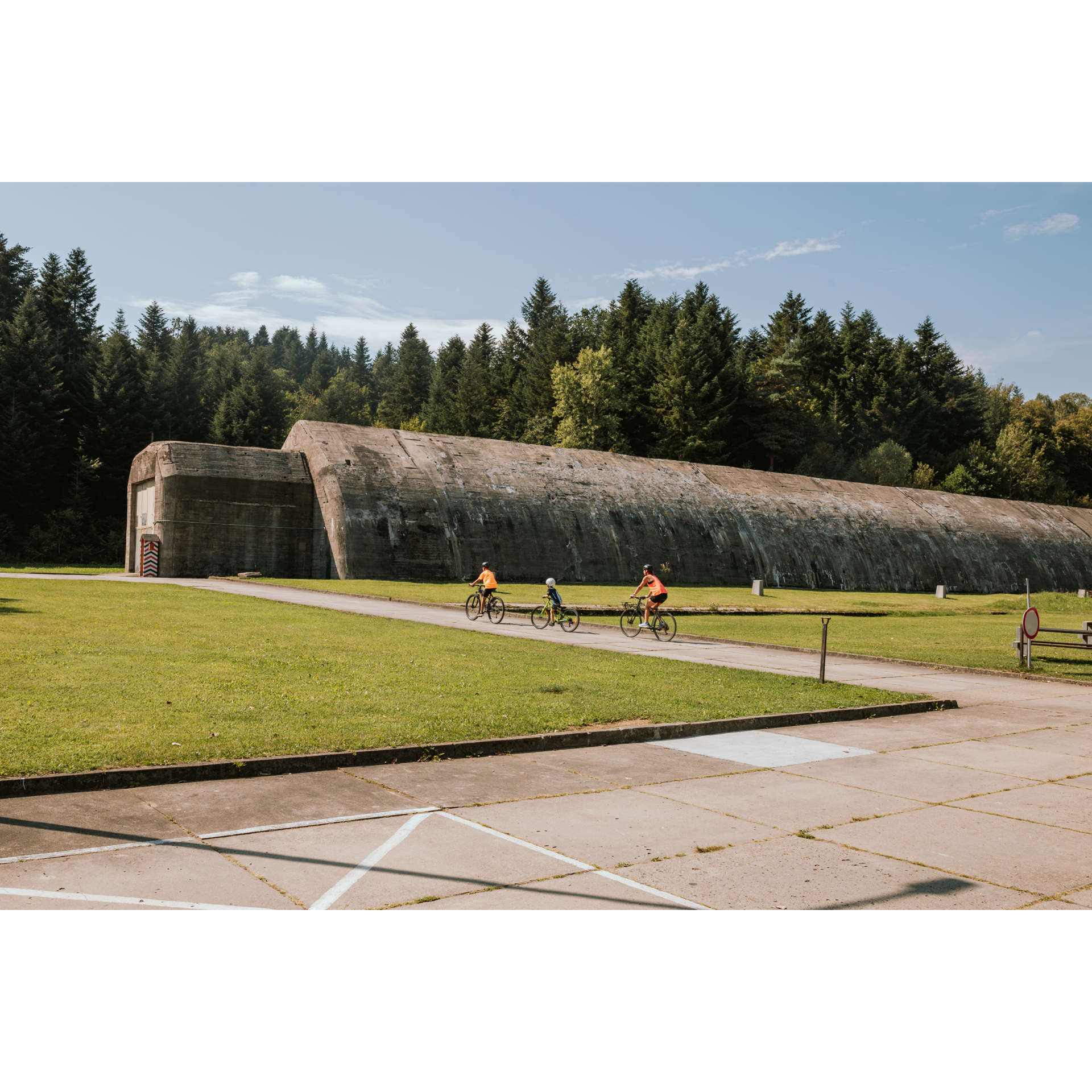
This place is a real treat for military enthusiasts. Here, you will find a railway shelter, part of the same complex as the tunnel in Strzyżów, as well as passive and combat bunkers securing the visits of the most important individuals in the Third Reich. A documented meeting between Adolf Hitler and Benito Mussolini took place here on 27-28 August 1941. Not all facilities are in publicly accessible areas; you should ask property owners about the possibility of visiting them. After the railway shelter, turn left, following the signpost to Jaszczurowa. Through the hamlet of Chytrówka, with the Chełm Mountain Reserve on your left, protecting Carpathian beech forest and selected forest animal species, you will arrive at Brzezina. From there, turn left towards Pogwizdów, as indicated by the road sign. On the ascent, you will pass a tourist shelter – leave it on your left. Then, from the top of the hill, you will coast gently down into a valley that you can now observe. Stay on the asphalted road at intersections, which curves to the left, and at the next junction, also stay on the left side. At the chapel surrounded by thuja trees, turn left, and at the next crossroads, turn right. This is the hamlet of Brzezina named Berdechów. There is a school here, next to which you should turn left. Then, you will curve under Wawrzkowa Mountain, emerging at the bottom of a small valley. Keeping to the left, after 3 kilometres, you will reach Bączałka.
- 3Bączałka30.2 kmBączałka
At the primary school, turn right. Via a winding road, you will leave the village heading towards Smarżowa. Along the way, you will pass a typical rural landscape, consisting of forests and fields. It is only 2 kilometres from one village to the next. In the next village, Siedliska Bogusz, pay attention to the Neo-Gothic shrine on the right side of the road and the massive church in the same style on the left. It is worth taking a look inside to see the Gothic altar with intricate wooden decorations, held in a brown-gold hue. After the church, head to Brzostek following the signpost. Keep heading south, without turning, crossing the sparse buildings, a small forest, fields by a group of farms, and a grove. Via Szkotnia Street, you will reach 11 Listopada Street on national road no. 73. Turn left onto it. In a moment, you will arrive at the market square in Brzostek.
- 4Brzostek40.3 kmBrzostek
Your trip ends near the starting point.
Attractions near this route
Gallery
Check other routes


