San and Vistula Valley
The ride around the forts of the Przemyśl Fortress, the northern part
XML, 59.32kB
About this route
Przemyśl, city centre - Buszkowice - Bolestraszyce - Żurawica - Duńkowiczki - Pod Lipowicą - Kuńkowce - Przemyśl
Practical advices
When preparing for a route, be sure to check the weather forecast. This will allow you to take appropriate clothing and limit your luggage as much as possible. However, it is well known that the weather can be unpredictable, so be prepared if it gets worse. It is good practice to pack a thin rain jacket that does not take up much space.
Before starting the route, carefully analyse it on a map. Consider whether your skills and equipment are adequate for the level of difficulty of the route.
Download the accompanying .gpx file so that you always have your navigation at hand. To make sure your device doesn't fail you, also bring a power bank, charger or spare batteries. If the weather changes, you may find it useful to have a waterproof case for your electronic equipment.
Be sure to take drinks and food with you on long journeys; you never know when you will get hungry. Remember that a shop or restaurant may be located a long way away. We recommend that you stock up on water, isotonic drinks, energy bars and snacks. This will make sure you don't lose the motivation to continue riding.
The absolute basis for safety is, of course, a helmet. Also, prepare yourself technically. Make sure you have adequate lighting on your bike. Pack a repair kit. Spare inner tubes, a pump, a multitool, all of these things can come in handy in the event of a breakdown, which of course you don't want!
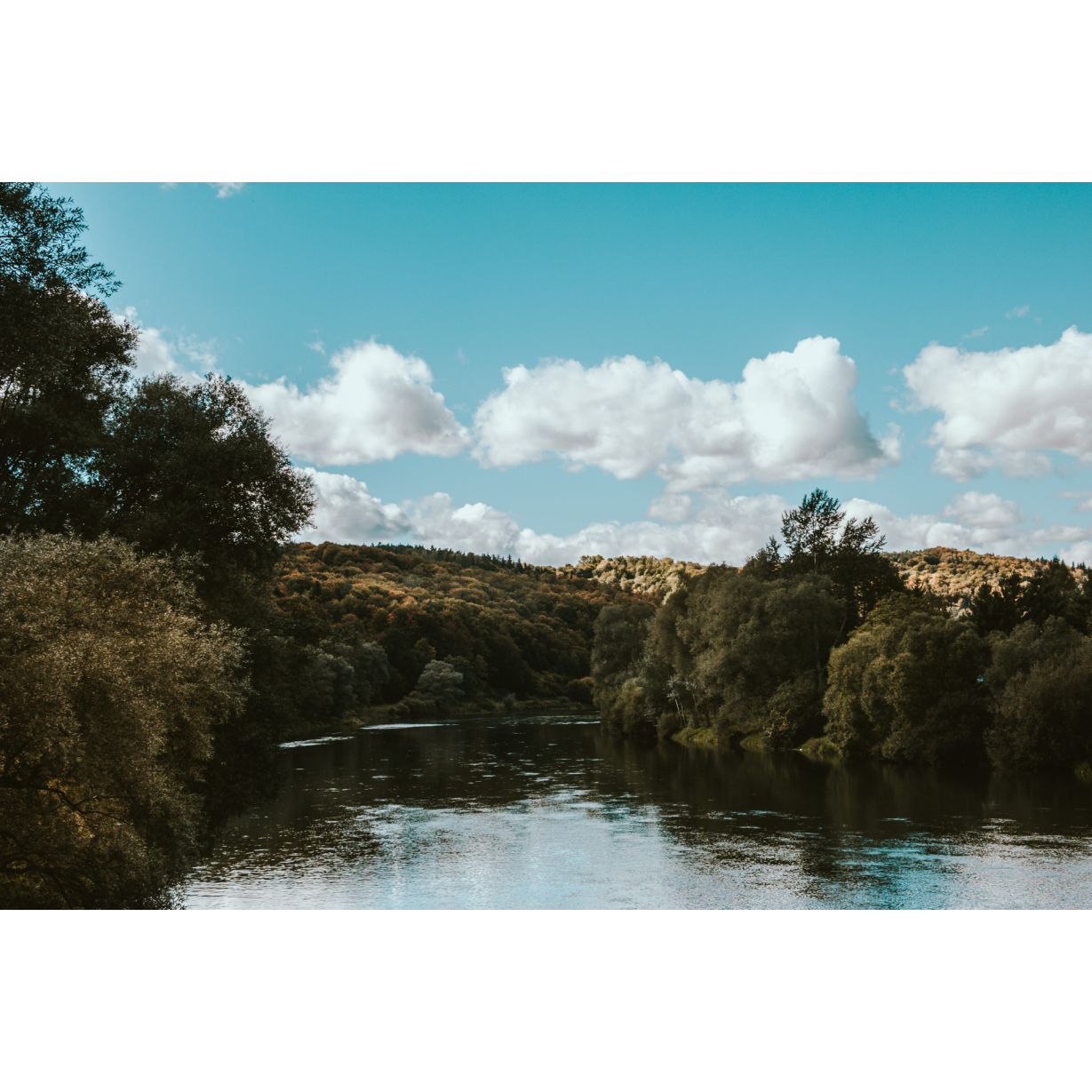
Dolina Sanu i Wisły
Audiodeskrypcja tekstowa
Route details
This tour is a special treat for history lovers. The 4-hour journey will allow you to get to know the forts surrounding the northern part of Przemyśl. The road can be a bit strenuous at times, given that you will be forced to turn off the asphalt roads onto dirt paths a few times. However, don't be discouraged, for some people, the difficult terrain and challenges add variety to the route. As you ride around the forts of the Przemyśl Fortress, you will also have the opportunity to admire the panorama of the San valley. You can also visit the Arboretum in Bolestraszyce and learn about the diverse nature there. What lies ahead of you is a route full of excitement!Start
- 1Przemyśl, city centre0 kmPrzemyśl, city centre
You start your trip in the centre of Przemyśl, right next to the Orląt Przemyskich Bridge. This is also where the green trail starts. In the beginning, follow the cycling path along the river. The trail will lead you to a bridge on the city bypass. Continue along the public road. Follow the signs of the East of Poland Cycling Trail Green Velo to Bolestraszyce.
In Przemyśl, you will find many attractions worth seeing, such as the Przemyśl Fortress. This is a well-preserved piece of defensive architecture, the construction of which began in the 19th century. Although the process was supposed to take as long as 24 years, the project was never fully realised. During World War I, the fortress was the third-largest fortification in Europe and was besieged three times. A Fortress Cycle Route marked in black runs along the forts. Even today, the Przemyśl Fortress is one of Europe's largest pieces of defensive architecture.
- 2Buszkowice3 kmBuszkowice
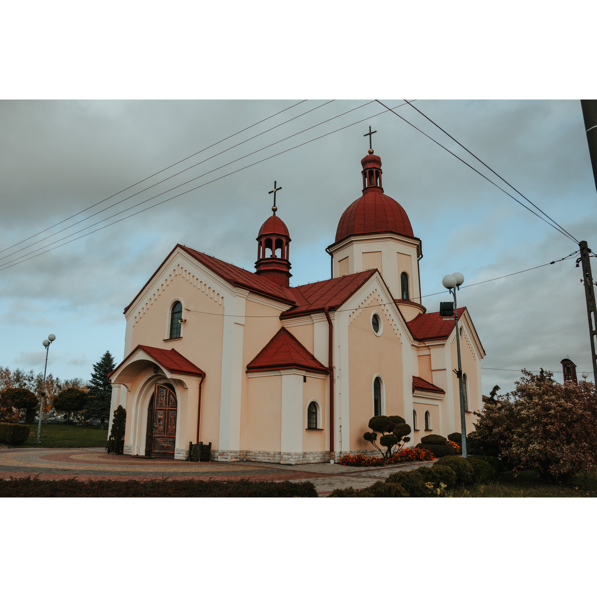
In Buszkowice, there is a magnificent church in a former tserkva. The Catholic Church took over the church after World War II. Unfortunately, the original furnishings have not been preserved inside.
After visiting the structure, continue along the main road following the signs of the cycle trail. Head towards Bolestraszyce.
- 3Bolestraszyce9.8 kmBolestraszyce
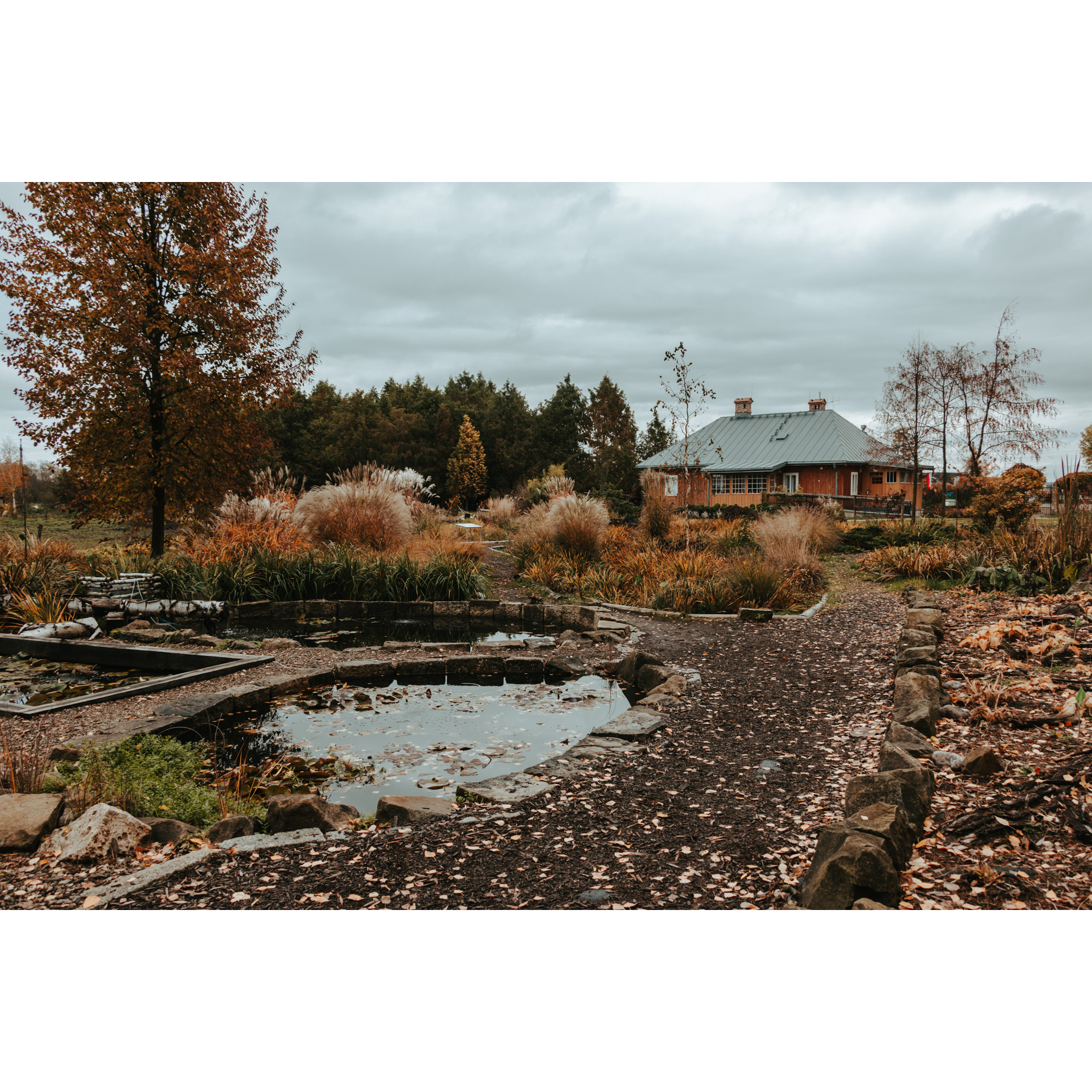
The next place on the route, namely the Arboretum in Bolestraszyce, is worth a longer stop. The place was established in 1975. The area of the garden is about 30 ha. Numerous species of trees, bushes and shrubs have been gathered here. Some of them are up to 70 years old. The Arboretum in Bolestraszyce is a place where you will find over 3,000 plant species, more than 120 vertebrate species and nearly 40 species of birds that breed here.
In addition, there is also a Sensory Garden, which houses a collection of plants that are attractive to touch and smell.
The facility is adapted to the needs of people with disabilities (especially the visually impaired). You can find detailed information about the Arboretum at: https://bolestraszyce.com.pl/
Less than a kilometre further you leave the road, turning left. Here you will come across the walking black Fortress Trail. The signposting of the cycling trail is incomplete, so we suggest you follow the signs of the walking trail.
After a short ascent, the first fortress structure will appear in your path, Fort XIII San Rideau. Here, turn left along a dirt road and then right, passing Fort XIIIb Bolestraszyce.
- 4Żurawica15.2 kmŻurawica
Driving among the local orchards and then the buildings of Żurawica, you will reach Fort XII Werner (you need to make an appointment to visit it in advance).
Before the fort, turn left. Now, the most difficult part of the route awaits you, a ride along a dirt path among fields. Then, carefully cross the busy national road no. 77 to the other side.
Follow the black hiking trail. Do not deviate from the main road. The trail will lead you to Fort XI Duńkowiczki, which is open to the public. There is a car park next to it.
- 5Duńkowiczki17.7 kmDuńkowiczki
You will now alternate between asphalt and gravel roads leading slightly uphill. Along the way, you will pass the cemetery of those killed in the Przemyśl Fortress and other forts. Not all of them lie directly beside the route, some are about 100 - 300 m away.
If you want to see them all, you need to be vigilant. The way to each fort is indicated by signposts, but these are not always visible enough, especially from a distance.
Follow the main road and when you reach the fork in the road in the village of Barszczołówka, turn left and cross the regional road no. 881. Continue straight ahead and when you reach the crossroads, turn left into the busy Ujkowice - Przemyśl road, which you will leave after a few hundred metres.
- 6Pod Lipowicą24 kmPod Lipowicą
A gentle descent brings you to the last attraction on the route, the scenically located Fort VIII Łętownia. The fort is open to the public and preserved in good condition. From here, you can admire the panorama of the San Valley. Take the winding road to regional road no. 884 in Kuńkowce.
- 7Kuńkowce27 kmKuńkowce
The black hiking trail ends here. Turn left and head towards the town centre. You will be on the regional road no. 884. When you get to the Kmiecie estate, turn right.
- 8Przemyśl32.5 kmPrzemyśl
You will leave the regional road no. 884 at Wybrzeże Św. Jana Pawła II Street and follow the San River back to your starting point.
Gallery
Check other routes


