San and Vistula Valley
Surroundings of Radymno
XML, 74.69kB
About this route
You will travel through plains and gentle hills to the northwest of Radymno, an important town on the historical map of the Podkarpackie region. Passing through villages, forests, and fields, you can marvel at the tranquillity with which people live here and the silence that fills them. However, it has been loud here – part of this history is told in this guide, and the rest you can find for yourself.
Practical advices
Although this route is not demanding, it is worth preparing for it properly, so that nothing surprises you at any point. Start with the most important thing, which is your helmet. A good helmet is essential for your safety. Take care also of proper lighting, both front and rear. In addition to bike lights, equip your bike with reflectors so that you are highly visible on the road.
What else is worth taking with you on a trip? Make sure to pack a sweatshirt or a rail jacket in your backpack, in case the weather changes. It is also a good idea to bring snacks to give you energy during the trip. Protein bars or energy mousses work well.
If you plan to take visit the attractions along the route, you will need to leave your bike behind in some places. To make sure it is still there after the tour, be sure to bring a bike safety device such as a U-Lock or any bicycle lock.
Dolina Sanu i Wisły
Audiodeskrypcja tekstowa
Route details
Radymno – Miękisz Stary – Laszki – RadymnoStart
- 1Radymno0 kmRadymno
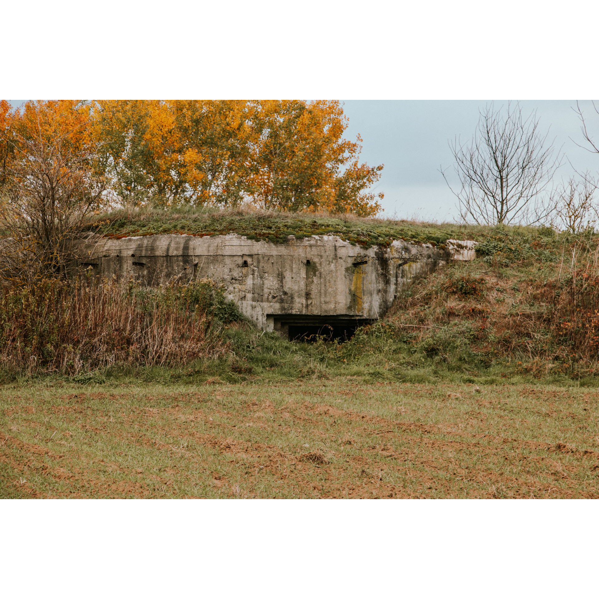
The market square in Radymno is that of a Galician town with old trading traditions. The large number of multi-storey bourgeois houses indicates that it was a wealthy town. Its location on major routes had two drawbacks. The first was exposure to numerous invasions during wars, and the second was a dependence on trade and revenue on the course of the routes. World War I particularly affected the town – Austrian commands and units were stationed here, including air ones; fierce battles were fought for bridgeheads, and the town was ruined by a two-day battle in 1915. In later times, Polish units fighting alongside Austria were stationed here. The bridgehead was also fought over in 1939. Think about this as you travel through the town and its surroundings – it is so peaceful here now. Leave the market square via Lwowska Street, then turn left at the roundabout, entering the course of national road no. 94. You will cross the San river, and then through fields, you will reach Duńkowice. Go straight through them. Then turn left towards Charytany. Look around – near the road, you will find bunkers from the Molotov Line. The one 700 metres from the bend is a large bunker for frontal fire for 3 machine guns (firing positions facing west) and 1 protecting the entrance. You have 3 km through dense forest, after which you will reach Charytany. Go through them, and then cross a bridge over the Szkło river. After the sign ending the built-up area, at the crossroads near the cross, turn left. You will pass the Aeroclub of the Jarosław Land in Laszki, opened in 2012. Continuing, you will reach a village. Upon reaching the main road, turn right to travel through fields to reach Miękisz Stary.
- 2Miękisz Stary20.5 kmMiękisz Stary
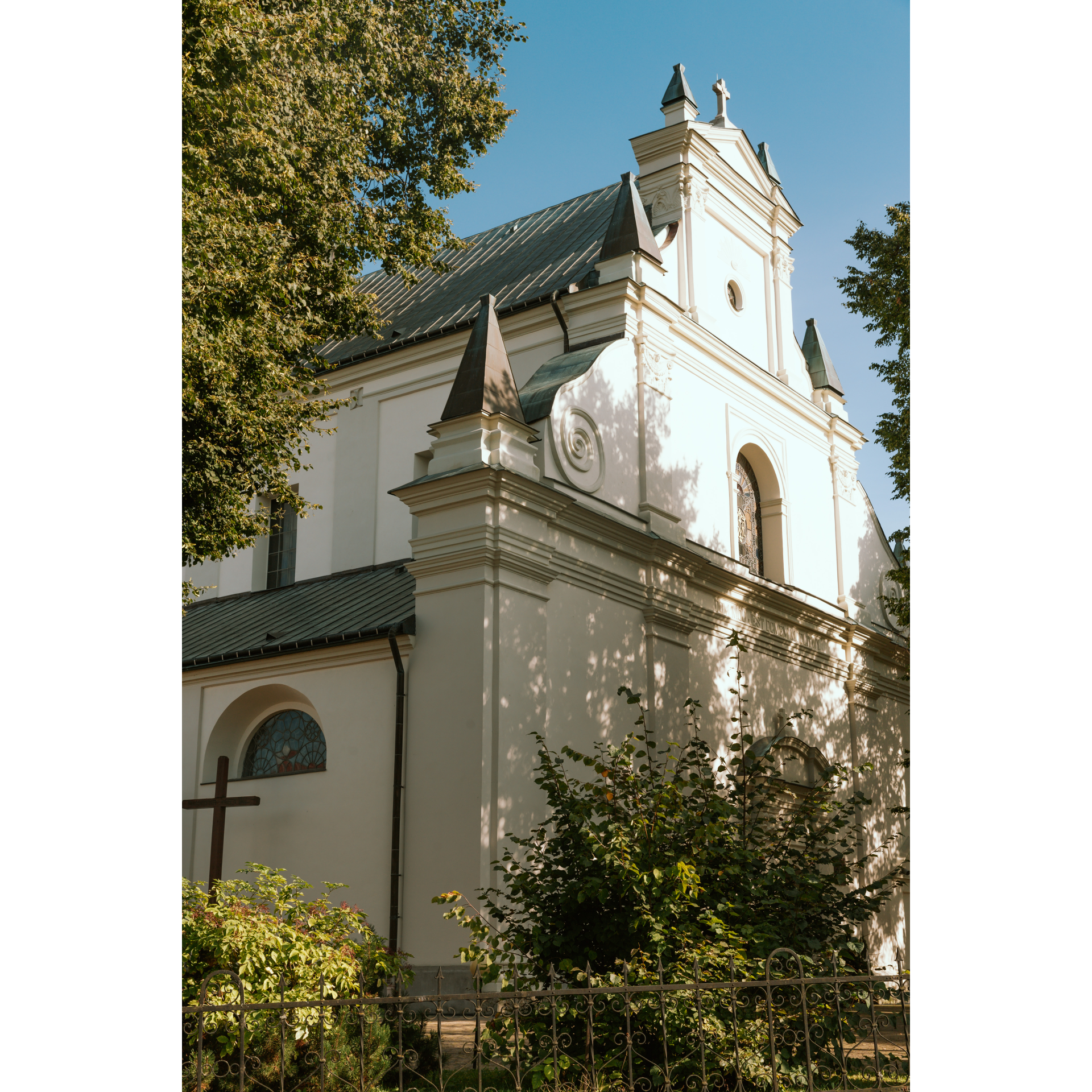
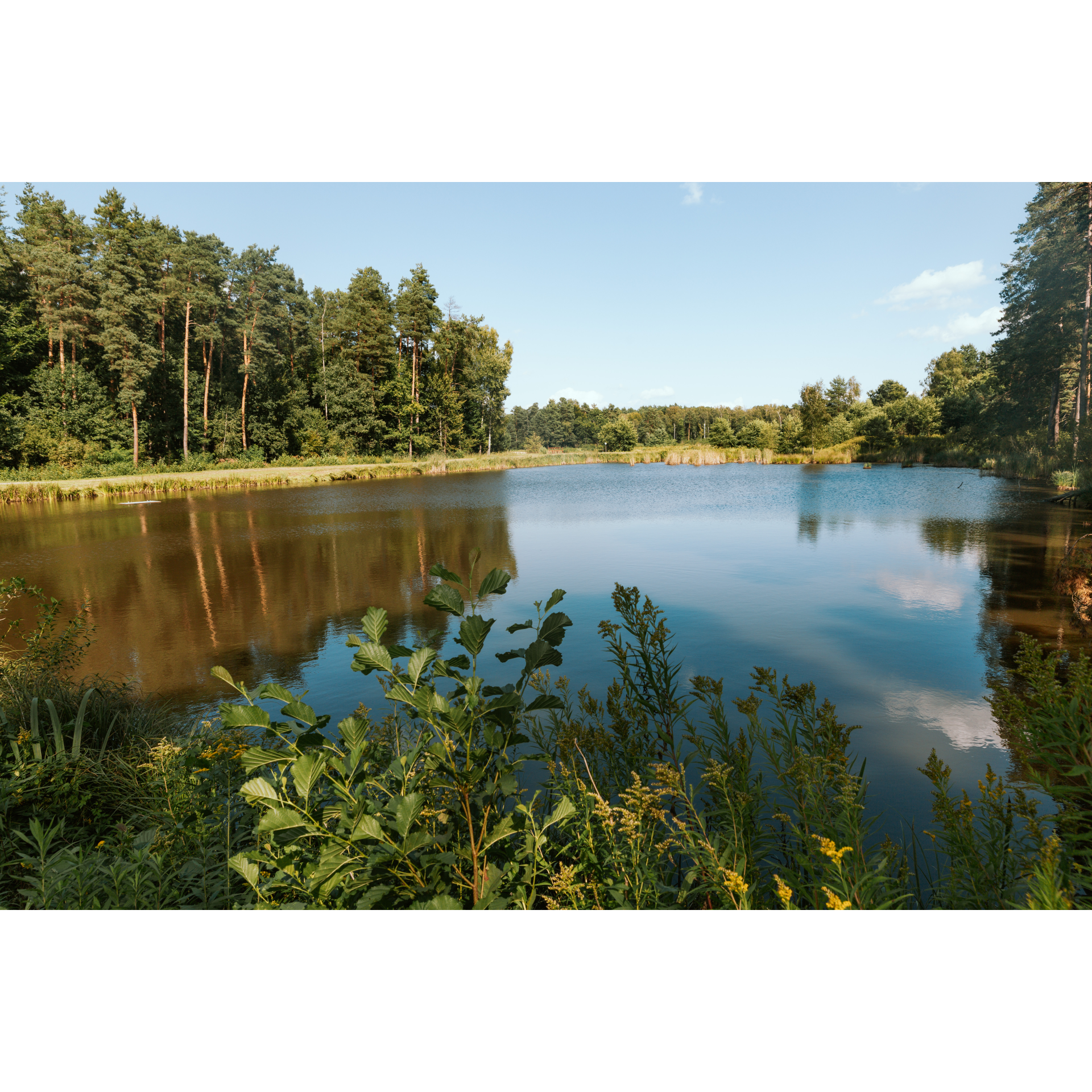
Turn sharply left by the church. After 2 km, you will find yourself in Miękisz Nowy. Turn right to pass the fire station, chapel, and church. Turn left at the church to ride along the grove. Half a kilometre past the parish cemetery, enter the forest. After another kilometre, turn left to reach the forest ponds. The road is well signposted. Return the same way to the cemetery road and turn right, moving away from the village. You will reach Czerniawka. Pass it and enter the forest. Right at its edge, you will find a crossroads – stay on the left side. You will come to an intersection at the bridge over the Lubaczówka river – turn left. You will travel the next 4.5 km through the forest on this road, heading southwest. Approaching the centre of the village of Korzenica, you will come across a military cemetery from World War I. Some of the fallen here remain unnamed, but you can also find identified graves. In Korzenica, at the serfdom cross commemorating the abolition of this obligation, continue straight. One and a half kilometres later, you will be back in Laszki.
- 3Laszki41.3 kmLaszki
Turn right onto the main road and go through the village. It is quite long. You will then pass Wietlin Trzeci and enter Łazów. Stay on the chosen road. Heading straight south, you will reach national road no. 94. Turn right, following the sign to Rzeszów. In Radymno, head down to the beach, which you can easily spot from the road. Take a rest.
- 4Radymno55 kmRadymno
Your trip ends in the town where you started.
Attractions near this route
Gallery
Check other routes


