San and Vistula Valley
To Kalwaria Pacławska
XML, 87.86kB
About this route
Steep climbs and sharp descents into valleys, narrow roads, and a distance of over fifty kilometres make this route not straightforward. In our opinion, it is not suitable for children. However, it is very interesting, leading through areas south of one of the most important cities of this part of former Poland and still an essential point on the map of Europe.
Practical advices
When preparing for a route, be sure to check the weather forecast. This will allow you to take appropriate clothing and limit your luggage as much as possible. However, it is well known that the weather can be unpredictable, so be prepared if it gets worse. It is good practice to pack a thin rain jacket that does not take up much space.
Before starting the route, carefully analyse it on a map. Consider whether your skills and equipment are adequate for the level of difficulty of the route.
Download the accompanying .gpx file so that you always have your navigation at hand. To make sure your device doesn't fail you, also bring a power bank, charger or spare batteries. If the weather changes, you may find it useful to have a waterproof case for your electronic equipment.
Be sure to take drinks and food with you on long journeys; you never know when you will get hungry. Remember that a shop or restaurant may be located a long way away. We recommend that you stock up on water, isotonic drinks, energy bars and snacks. This will make sure you don't lose the motivation to continue riding.
The absolute basis for safety is, of course, a helmet. Also, prepare yourself technically. Make sure you have adequate lighting on your bike. Pack a repair kit. Spare inner tubes, a pump, a multitool, all of these things can come in handy in the event of a breakdown, which of course you don't want!
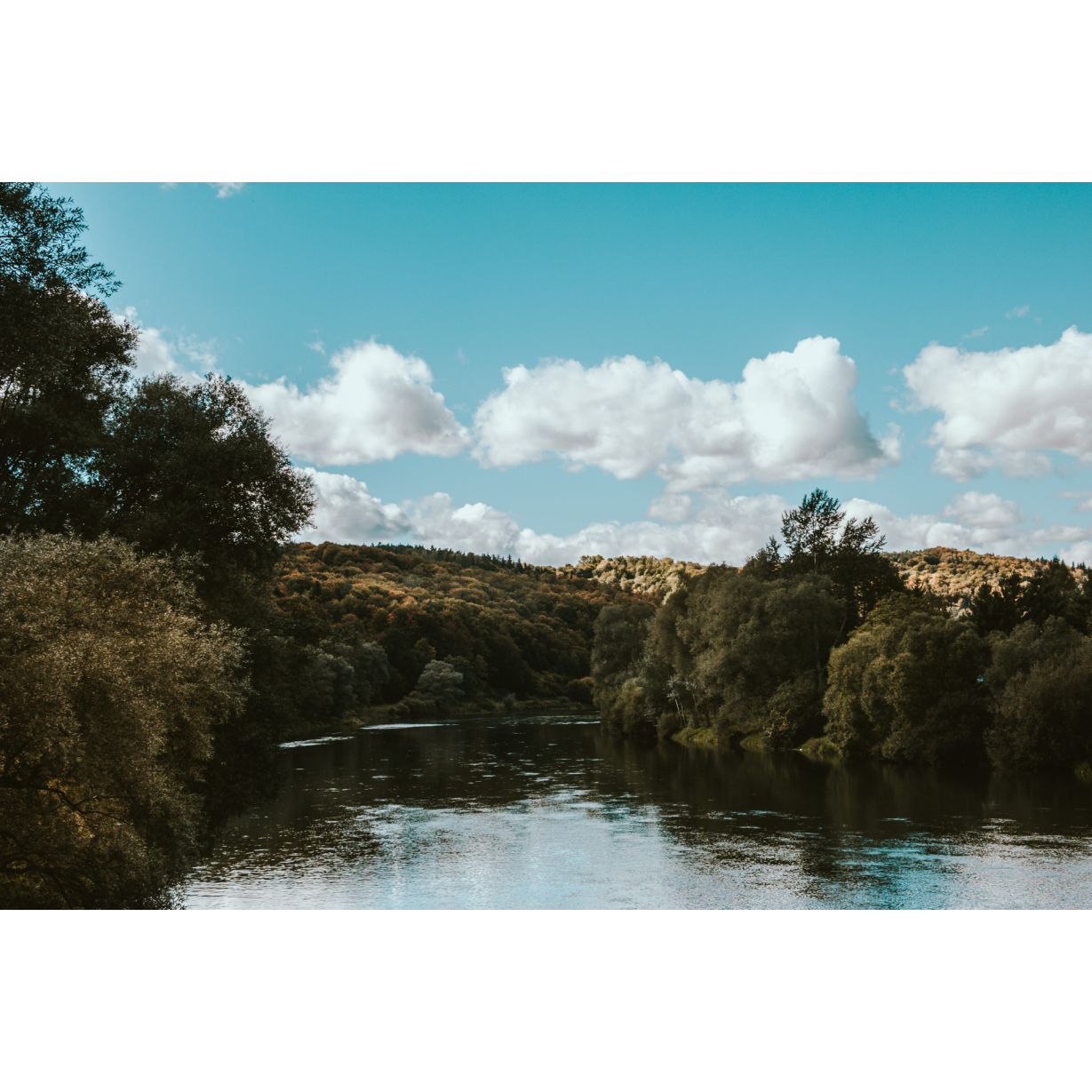
Dolina Sanu i Wisły
Audiodeskrypcja tekstowa
Route details
Przemyśl – Fredropol – Kalwaria Pacławska – PrzemyślStart
- 1Przemyśl0 kmPrzemyśl
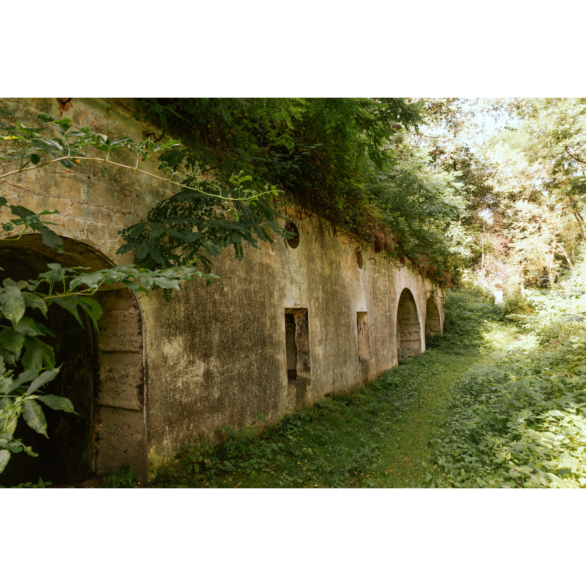
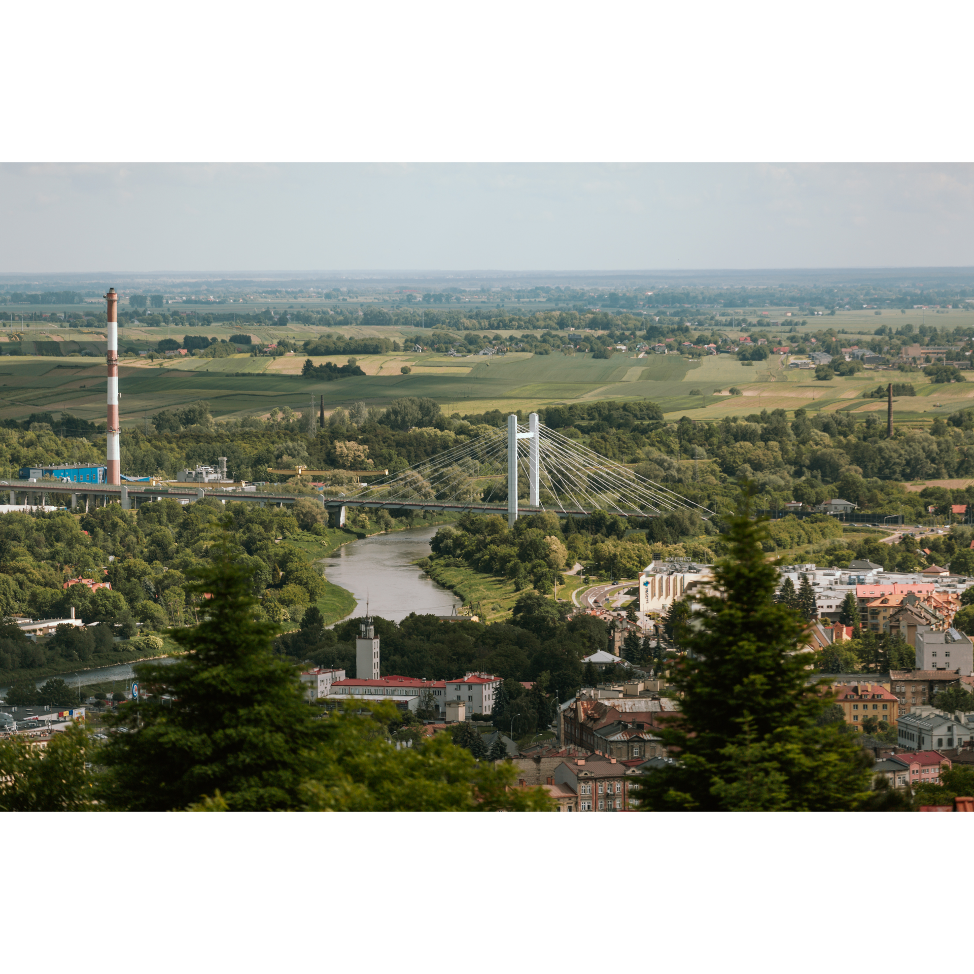
In many places in Przemyśl, you can see the shadows of its past greatness and glory. Today, a border town, less significant than Rzeszów, the regional capital, after World War II had the chance to become the administrative centre of south-eastern Poland. However, the choice fell on the younger centre located more centrally along the Wisłok river. Art Nouveau buildings, fortresses, and massive gates, although sometimes neglected or dusty, can undoubtedly be called beautiful. Departing from the Neo-Baroque railway station, one of the most beautiful in Poland, enter gen. Smorawińskiego Street, then turn right into Mickiewicza Street. At a nearby major intersection, turn left onto Słowackiego Street. You will leave the city heading south. Along the way, you will pass a complex of cemeteries, mainly military, where rest the Poles from Piłsudski's Legions, Austro-Hungarian citizens, who fell in battles for the fortress, Germans, who recaptured it in 1915, Russians, who conquered it, Germans who died during World War II, soldiers of the Polish September 1939 and the Polish Underground State, and Ukrainians from the years 1919-1929. This single place shows the city's complex, multinational history. After leaving the city towards Herbutowo, turn right following the sign to Kalwaria Pacławska. Follow the main road, winding through the buildings. You will reach Grochowce. At the junction with the sign to Witoszyńce, stay on the left. (You can also turn right momentarily, to Fort V of the Fortress, quite well preserved). You will reach Kniażyce, which you will pass along the main road first bending to the left, then to the right. This route will lead you to Fredropol.
- 2Fredropol12.3 kmFredropol
The most significant monument of this place is the Fredro Castle. Unfortunately, in 2023 it was not open for direct sightseeing, only viewable from a distance. The wooden church here is also quite beautiful. Heading south, you will cross the remnant market square, a testament to the Fredro family's aspirations to develop the town and its granting of town rights in 1720. However, this dream of prominence was short-lived, as it was downgraded to a village before 1880. After travelling 2 km, you will reach more buildings. At the crossroad with a sign to Kłokowice, turn right. Ahead are Aksmanice, followed by forests and Koniusza. Prepare for a long and relatively steep climb. After Koniusza, turn left to head south. You will shoot through Gruzowa and traverse a forest to arrive at Huwniki. After passing the cemetery, turn left and then right after the church. Continuing on the main road, you will cross a bridge over Wiara river and embark on another climb amidst fields and nearby forests.
- 3Kalwaria Pacławska27.5 kmKalwaria Pacławska
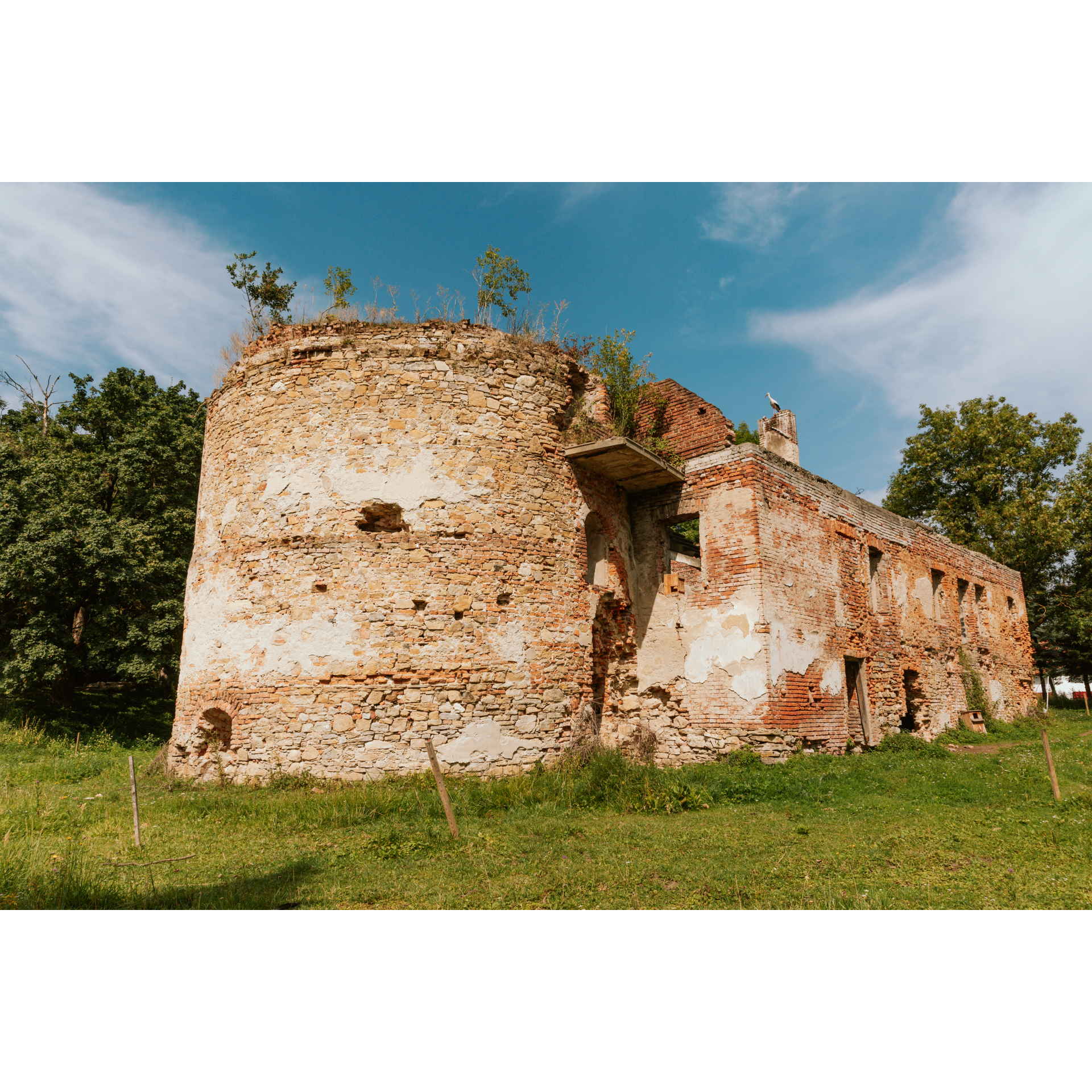
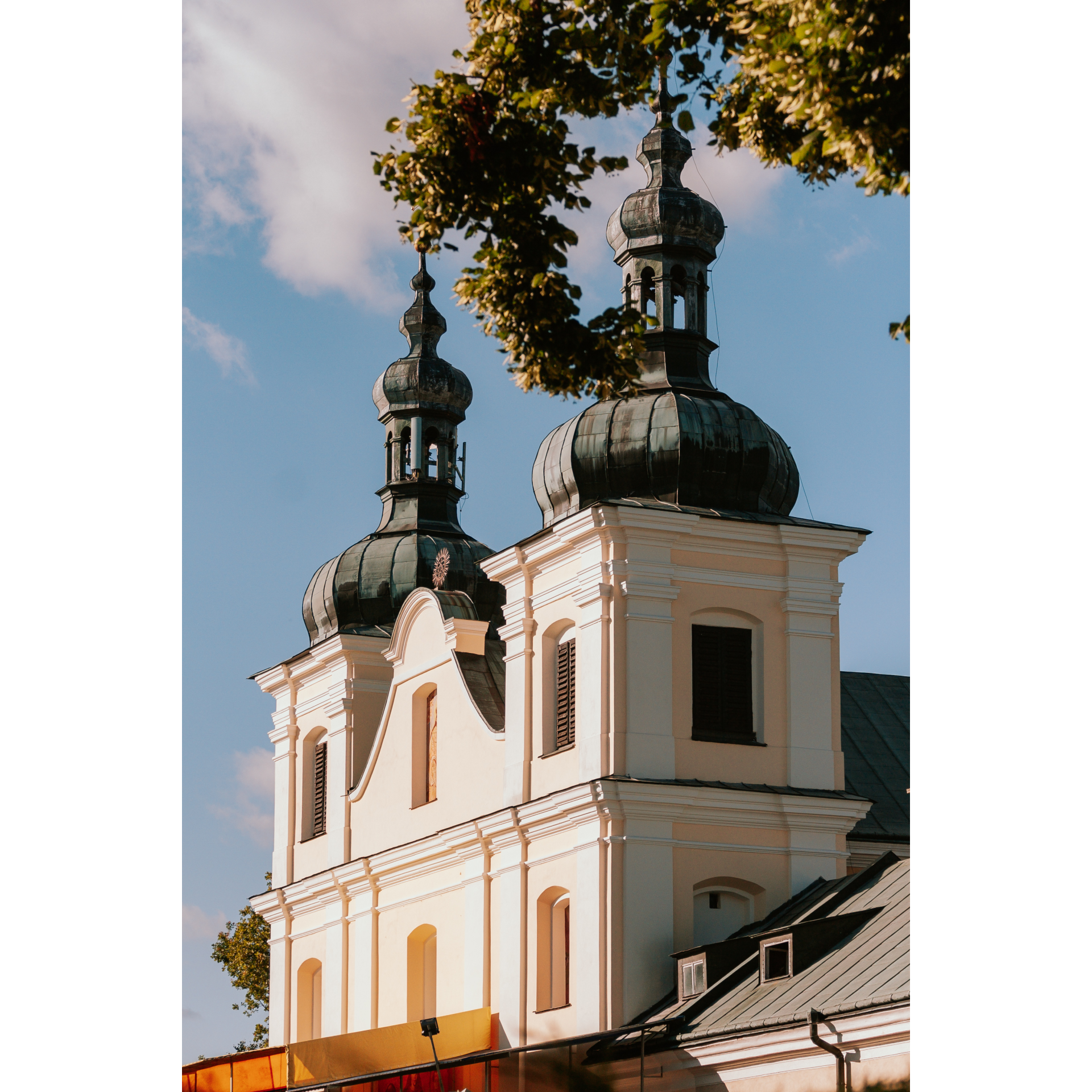
To the left is the Kalwaria Pacławska Reserve. You will approaching the town known for chapels scattered around, collectively depicting the last journey of Christ. Notice the wooden buildings here, many of which date back to the 19th century. A must-visit is the Basilica of the Finding of the Holy Cross, a stunning Baroque temple with a masterfully crafted main altar and breathtaking polychromies. Find the exit to the east, into the woods, passing more chapels, to reach Nowiosiółki Dydyńskie. In the village, cross the Wiara river using a small bridge, and turn right. Following the valley, you will pass the Dubnik rock formation – a conglomerate from Miocene rocks. A bilingual sign will explain its origin. Now, you are in the direct border zone – less than a kilometer from the cordon. Near the hill with a castle in Sierakoście, turn left following the main road and then right at the intersection behind the hill and its grove. After 2.5 km, you will reach Młodoszczy, stopping in front of the church. Turn right. Following the priority road, you will leave the village. The next settlement is Kupiatycze. Enter on the right and drive through. You will then pass a small forest and arrive in Hermanowice. Enter the regional road No. 885. Going straight, you will get to Herbutowo and subsequently re-enter the urban fabric of Przemyśl. From Słowackiego Street, turn right into Rejtana Street and stop in front of the railway station.
- 4Przemyśl51.5 kmPrzemyśl
Your trip ends near the starting point. If you have time before your next train, consider exploring the market square, castle, churches, and the steep streets of Przemyśl. These are truly beautiful places steeped in history.
Attractions near this route
Gallery
Check other routes


