Rzeszów and its surroundings
Along the Trail of Podkarpackie Oaks
XML, 123.43kB
About this route
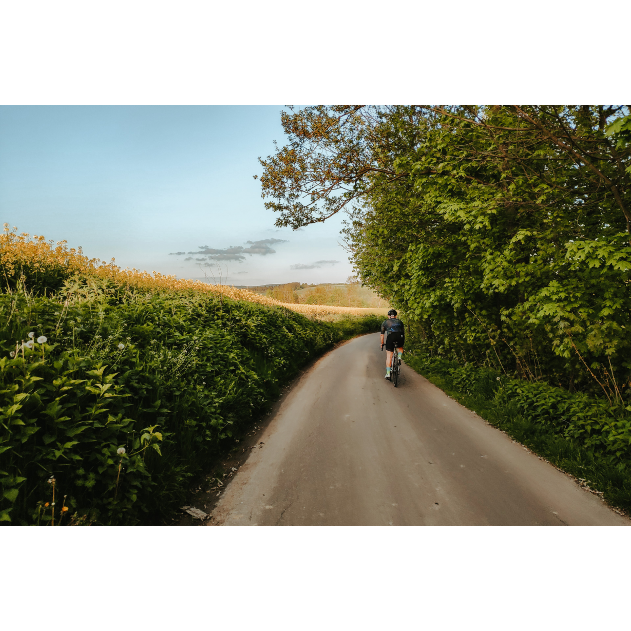
A moderately difficult but physically demanding route that leads through the hills in the Strzyżów area, and the valleys of the Stobnica and Wisłok rivers. Along the way, you will encounter architectural monuments of religious significance, as well as several ancient trees, natural monuments that remember bygone centuries.
Practical advices
When preparing for a route, be sure to check the weather forecast. This will allow you to take appropriate clothing and limit your luggage as much as possible. However, it is well known that the weather can be unpredictable, so be prepared if it gets worse. It is good practice to pack a thin rain jacket that does not take up much space.
Before starting the route, carefully analyse it on a map. Consider whether your skills and equipment are adequate for the level of difficulty of the route.
Download the accompanying .gpx file so that you always have your navigation at hand. To make sure your device doesn't fail you, also bring a power bank, charger or spare batteries. If the weather changes, you may find it useful to have a waterproof case for your electronic equipment.
Be sure to take drinks and food with you on long journeys; you never know when you will get hungry. Remember that a shop or restaurant may be located a long way away. We recommend that you stock up on water, isotonic drinks, energy bars and snacks. This will make sure you don't lose the motivation to continue riding.
The absolute basis for safety is, of course, a helmet. Also, prepare yourself technically. Make sure you have adequate lighting on your bike. Pack a repair kit. Spare inner tubes, a pump, a multitool, all of these things can come in handy in the event of a breakdown, which of course you don't want!
Rzeszów and its surroundings
Audiodeskrypcja tekstowa
Route details
Strzyżów – Węglówka – Frysztak – StrzyżówStart
- 1Strzyżów0 kmStrzyżów
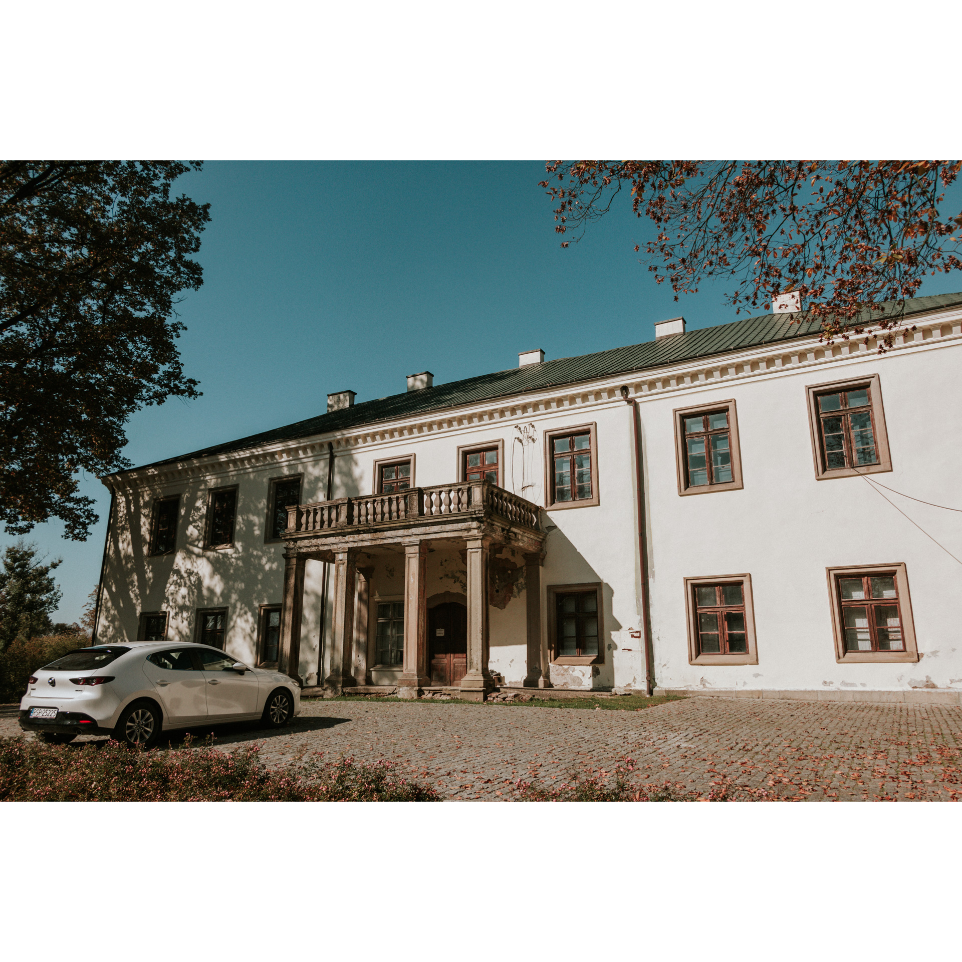
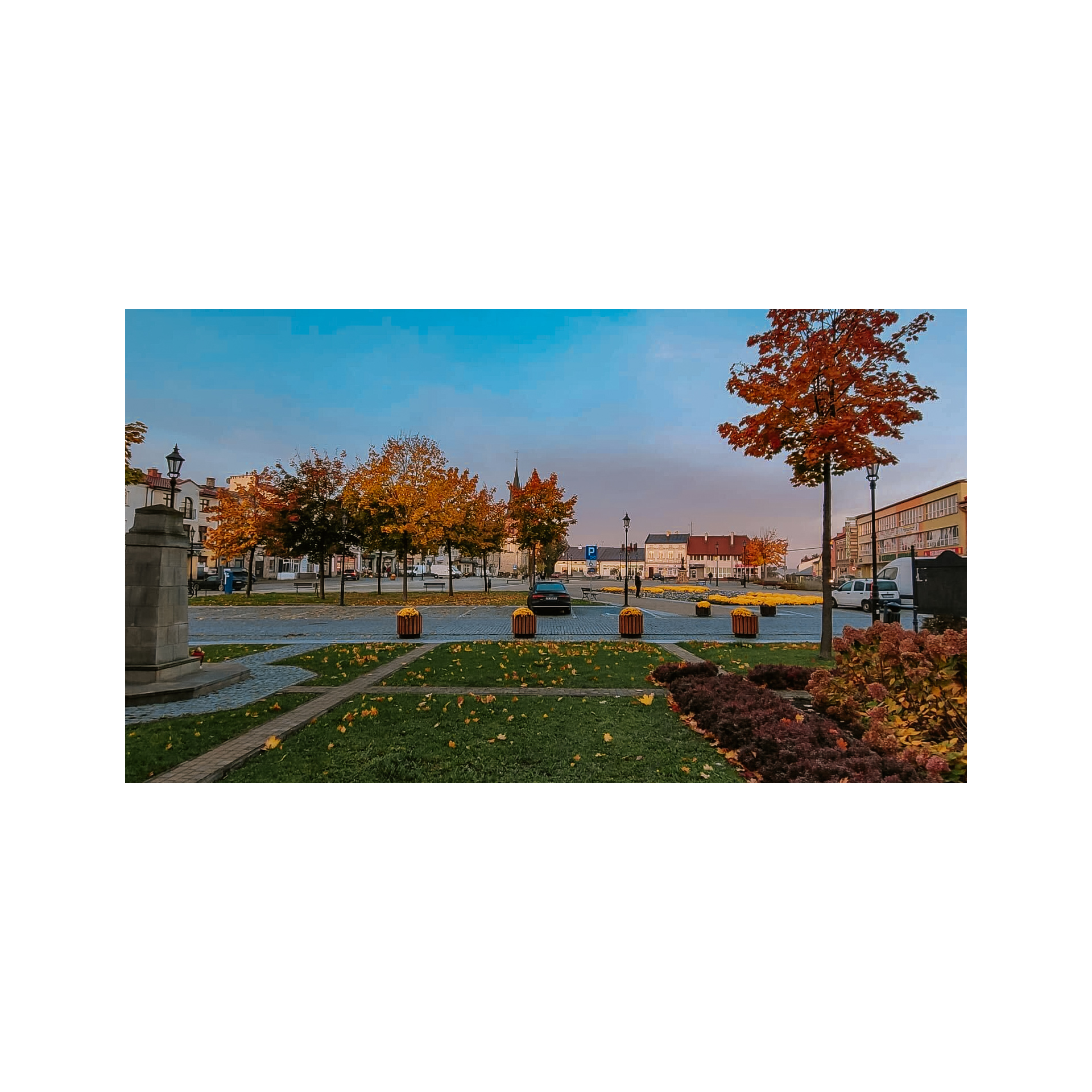
The Galician town square, once serving a market role and now a representative one, is the starting point of the trip. Look around the surroundings – you will see several preserved 19th-century townhouses, a church whose walls date back to the 15th century, and the rectangular layout of the square itself will remind you of many similar ones in other towns and villages, not only in the Podkarpackie region but also in Poland. The presence of multi-storey townhouses indicates that trade once flourished here. Leave the square via Słowackiegio Street and reach the roundabout. Turn right at the roundabout, taking the first exit. Follow Mostowa Street south, crossing the railway tracks and the bridge over the Wisłok River. Make a sharp turn into Spółdzielcza Street and right after the small bridge over the Stobnica River (from which you have a view of the confluence of the rivers, you can also go down to the headland), proceed into Stobnicka Street. You will pass under the town's bypass and head south through the Stobnica valley. On your right, you will see the buildings of the roadside village of Godowa, but stick to your route. Continue straight through scattered buildings, along fields and groves without turning. A change of direction awaits you only at the 6th kilometre - stick to the main road that meanders at this point, so that after the bends you will pass the fire station of the Volunteer Fire Brigade in Godowa Górna. At the fork near the bridge over the Stobnica, turn sharply to the left.. After a few minutes, you will see a small church and a park on the other side. These are the remnants of the Bylicki palace and park complex in Żyznów, which has now been adapted for a children's home. The palace is Neoclassical, with eight Doric columns supporting a spacious portico. In the park, there is the Sobka Oak, one of the older specimens in the park, named in memory of a long life of one of the residents who lived to be 115 years, 4 months and 13 days in the service of King Zygmunt Augustus. Returning to your route, head southwest along the earlier chosen road that sometimes runs closer and sometimes farther from the Stobnica River bank. When you leave Podsochówka Street, turn slightly right onto regional road no. 989. You will cross a bridge, pass by a cemetery, and then turn onto regional road no. 991. You will reach the village of Krasna. Worth noting here is the church – a former Greek Catholic church – with its preserved architectural layout and onion-shaped domes. After Krasna, you will enter a forest uphill. Be cautious on this stretch as it is narrow and visibility on bends is quite limited. Beyond the forest, you will find Węglówka.
- 2Węglówka19.6 kmWęglówka
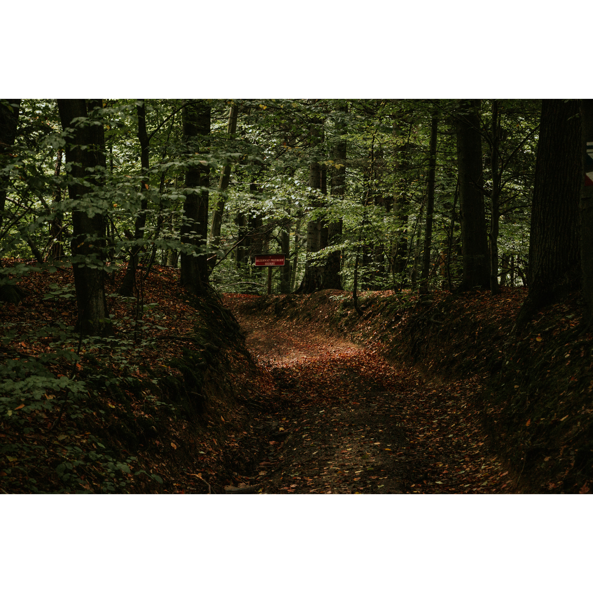
At the intersection with a simple wooden cross, turn sharply right and head up a slight hill into Węglówka. You will pass by the Forestry buildings and then a lantern shrine on the left side of the road. Continue straight on this road, entering a shallow valley. Follow it for about 3 km, then turn left at the bus stop, following the signpost to Rzepnik. On this narrow road, you will travel almost 3 km to exit near a Greek Catholic cemetery. Turning left at the end of the road, after 50 metres you will stand next to the Church of St. Paraskeva and the Jagiellon Oak. The church is only about 200 years old, but it is noteworthy for its preserved appearance even after its conversion to Roman Catholicism. The oak, on the other hand, is over 500 years old, stands 17 metres tall, and has a trunk circumference of 580 cm. It likely remembers the signing of the Union of Brest in 1596. Returning to your route, head northwest, as if you had turned not left but right, exiting the forest. Turn left at the next intersection, following the signpost to Łączki Jagiellońskie. At the bend and road forks near the forest, manoeuvre to maintain your previous southwestern direction. In Łączki Jagiellońskie, it is worth seeing the Baroque church hidden behind a high wall with lovely interior decorations. Turn right at the fire station to arrive at Łęki Strzyżowskie after 1.5 km. You will pass a small church, a school, and the Volunteer Fire Brigade station to reach a large junction that almost resembles a roundabout, stay on the left side. This way you will reach the outskirts of Frysztak.
- 3Frysztak41.5 kmFrysztak
Do not enter the town – turn right at the independence monument. After a few hundred metres, you can take a break by visiting a thatched cottage. You are now riding alongside the Wisłok River, which you should have on your left. You will pass through the village of Kobyle. Keep an eye out for the panorama of Frysztak, visible near the so-called Frysztak Gate – a passage between hills. Then, along the edge of the forest, you will reach Jazowa, where you can admire the Chełm Mountain located on the left bank of the Wisłok. At the chapel in Jazowa, continue straight through the intersection and between fields reach Kozłówek. Do not stop in the village nor turn – continue straight to reach Markuszowa near a grove with a pond. Follow the signpost to Korzuchów at the main intersection in the village. Turn sharply right next to the cultural centre and the Volunteer Fire Brigade station, and at the fork near a cluster of buildings stay on the left. This way, through fields and sporadically scattered houses, you will arrive at Wysoka Strzyżowska. Observe the right-of-way, and 200 metres past a small bridge turn right, then after 100 metres turn left. This way you will get onto the road to Gbisk. You are now in the vicinity of Strzyżów – at the roundabout on the town's bypass, go straight onto Południowa Street, then turn left onto Mostowa Street. After the bridge, turn left and go under the railway tracks. In a moment, you will enter the market square.
- 4Strzyżów55.8 kmStrzyżów
Your trip ends near the starting point. Perhaps you would like to visit the railway shelter?
Attractions near this route
Gallery
Check other routes


