The Low Beskid
Down the Wisłok Valley from Besko to Surowica
XML, 104.88kB
About this route
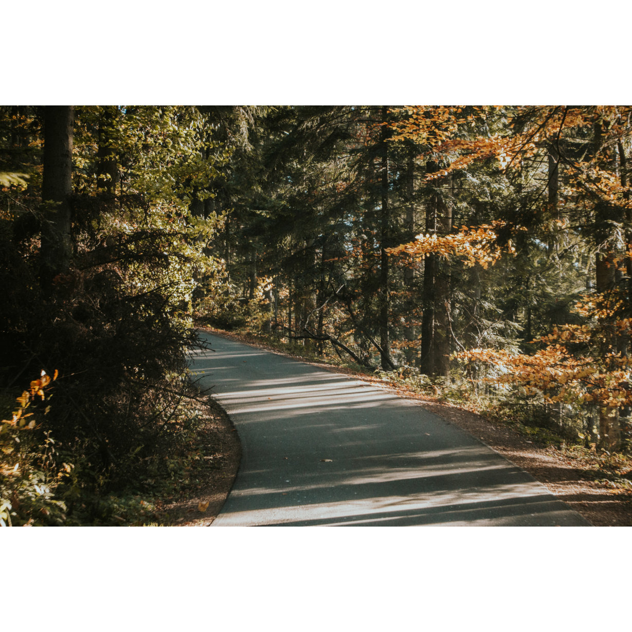
A challenging but very satisfying route, showcasing the natural and geological richness of the Podkarpackie region. It is worth frequently stopping along it to observe peculiarities such as outcrops of shale rocks. Significant elevation gains and challenging climbs on forest tracks test the capabilities and skills of even the best and most experienced cyclists.
Practical advices
When preparing for a route, be sure to check the weather forecast. This will allow you to take appropriate clothing and limit your luggage as much as possible. However, it is well known that the weather can be unpredictable, so be prepared if it gets worse. It is good practice to pack a thin rain jacket that does not take up much space.
Before starting the route, carefully analyse it on a map. Consider whether your skills and equipment are adequate for the level of difficulty of the route.
Download the accompanying .gpx file so that you always have your navigation at hand. To make sure your device doesn't fail you, also bring a power bank, charger or spare batteries. If the weather changes, you may find it useful to have a waterproof case for your electronic equipment.
Be sure to take drinks and food with you on long journeys; you never know when you will get hungry. Remember that a shop or restaurant may be located a long way away. We recommend that you stock up on water, isotonic drinks, energy bars and snacks. This will make sure you don't lose the motivation to continue riding.
The absolute basis for safety is, of course, a helmet. Also, prepare yourself technically. Make sure you have adequate lighting on your bike. Pack a repair kit. Spare inner tubes, a pump, a multitool, all of these things can come in handy in the event of a breakdown, which of course you don't want!
Beskid Niski
Audiodeskrypcja tekstowa
Route details
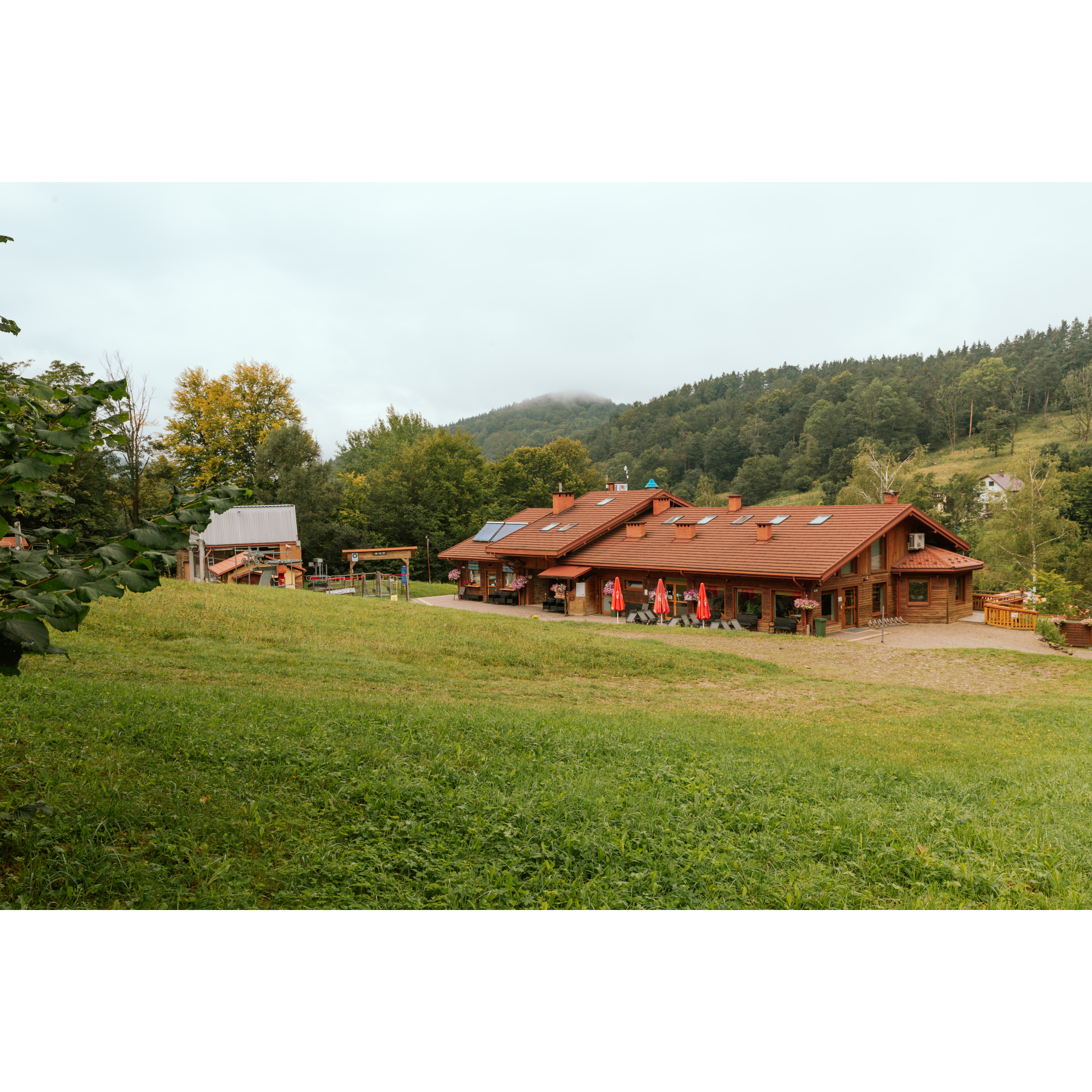
Besko – Zawoje – Tourist shelter in Bukowsko – BeskoStart
- 1Besko0 kmBesko
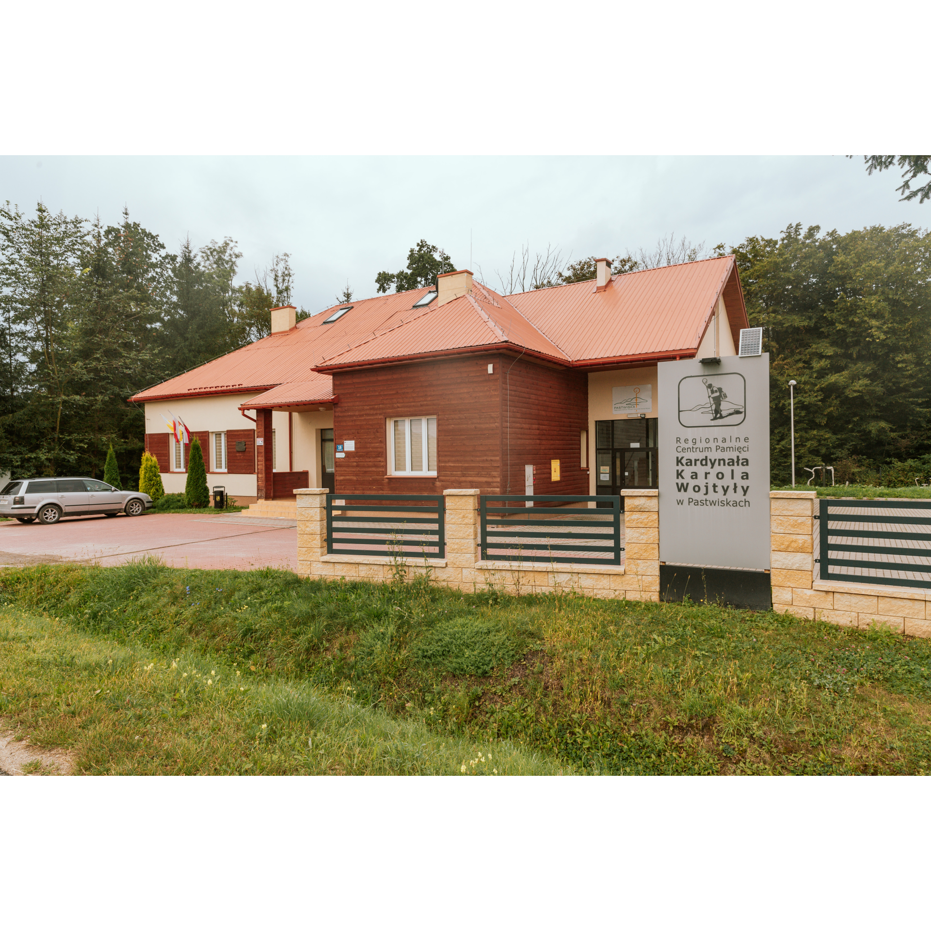
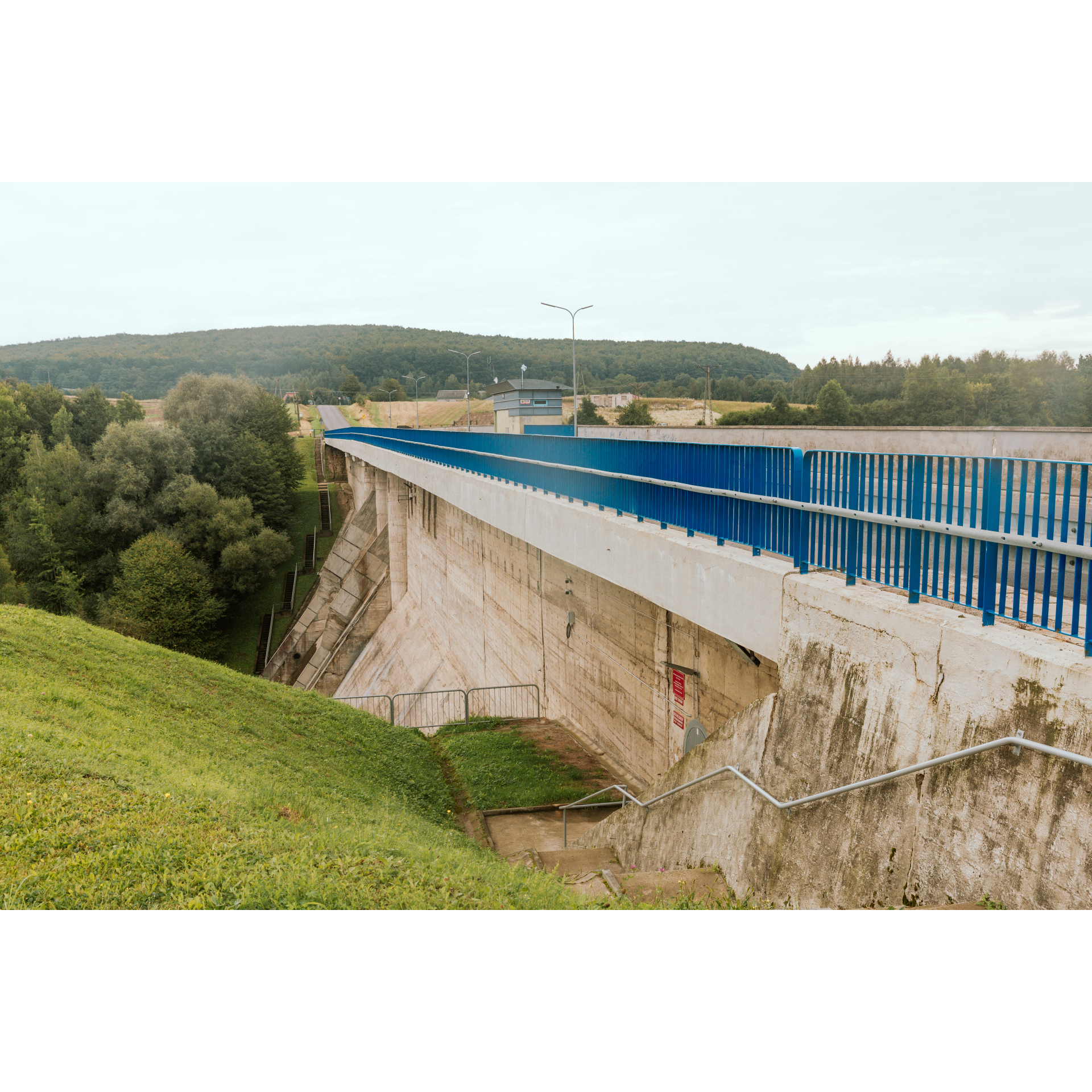
The village of Besko boasts several interesting monuments. First and foremost, there is a wooden church with a screen-like belfry that also serves as a gate. In the corner of the church wall, there is a two-hundred-year-old parish granary. Opposite, there is a manor park with a small manor house. The history of the locality is documented and made public by the Besko Heritage Centre. However, we will start from the school, which is the best point of orientation and is also located near the railway station. Exit left from the school to cross the railway tracks shortly afterwards. Then at the end of the road, turn left onto national road no. 28, and after crossing the Wisłok River bridge, take Południowa Street. Passing through Trasa Skałki Street, you will come across rocky thresholds in the river, an old sawmill, and the Wisłok gorge. These are places worth stopping at, even though this is only 2 km into the trip. After the village of Mymoń, you will come across a military cemetery from World War I - battles took place in this area and were very bloody. You passed one of the battlefields a moment ago: it was a wide plain on the left, bounded by village buildings and the forest you have just reached. Get to the end of the wooded area and turn right onto regional road no. 889. You pass a backwater that is part of Sieniawski Lake, bounded by a dam, along the crown of which runs a section of regional road no. 889. Continuing further along the edge of the reservoir, you will reach Pastwiska. You will pass the field of another battle, located opposite the Regional Centre of Memory of Cardinal Karol Wojtyła and next to the Memorial Chamber dedicated to Lieutenant František Geisler of the 2nd Czechoslovak Brigade, who was killed nearby in 1944. Then cross the bridge, appreciating along the way the wilderness of the river and its surroundings. Another war curiosity is the grave of a young Soviet tank driver 600 metres past the crossing, with a portrait of a 21-year-old boy. The meandering Wisłok in Rudawka Rymanowska reveals the geological secrets of the region – turn off the route to the left, over the river, to admire the wall of menilite shales, in which traces of fish and creatures of the ancient ocean that covered these areas millions of years ago can often be found. In winter, astonishingly beautiful icefalls form in the area from the waters of the Wisłok. After the bridge over the Wisłok, you will reach the village of Zawoje.
- 2Zawoje12.7 kmZawoje
Proceed straight through the village, heading south, sticking to the Wisłok riverbed. You will arrive at a clearing that remains after the village of Wernejówka, depopulated after 1944 and currently inhabited by only one family. You enter a road, which will take you around Polańska Mountain. Continue straight ahead on the well-trodden path, which often winds among the uneven terrain. At a certain point, around 19 km, it will start turning from a westerly direction to the south. You will then reach Polany Surowiczne, another village depopulated after World War II, inhabited by Ruthenians. At the crossroads by the tourist shelter, stick to the left-hand side. After 2 km through a sparse forest, turn right. For the next kilometre, stick to the Wisłok riverbank and after passing a small grove, turn left to cross the bridge over the river. You will be assured of the route when you pass the Darów Forestry building. The main road continues through the Ruthenian village of Darów, depopulated 80 years ago. Continuously gaining elevation, proceed straight ahead until you reach the tourist shelter.
- 3Wiata turystyczna w Bukowsku38.8 kmWiata turystyczna w Bukowsku
Near the shelter, turn left onto the red hiking trail. It will generally lead in a north-western direction. For 4.5 km, you will first be climbing, and then gently descending from the hill. At the end of the road, turn left and exit the forest. You will find yourself at a viewpoint, from which a broad panorama unfolds. After 2.5 km, you will reach the village of Puławy, and from there to Zawoje. Turn right to return to the familiar trail along the Wisłok. It is always worth stopping at places you bypassed earlier. Pass through Rudawka Rymanowska and Pastwiska, along Sieniawski Lake, and after the bridge turn onto Leśna Street. In Mymoń, examine the plain, which was a battlefield, descending from Leśna Street onto Osiedlowa Street. You will again reach national road no. 28, into which turn left and after crossing the bridge turn right onto Kolejowa Street. You will arrive back at the starting point.
- 4Besko60 kmBesko
Your trip ends near the starting point.
Attractions near this route
Gallery
Check other routes


