San and Vistula Valley
Tserkvas in the San Valley
XML, 47.65kB
About this route
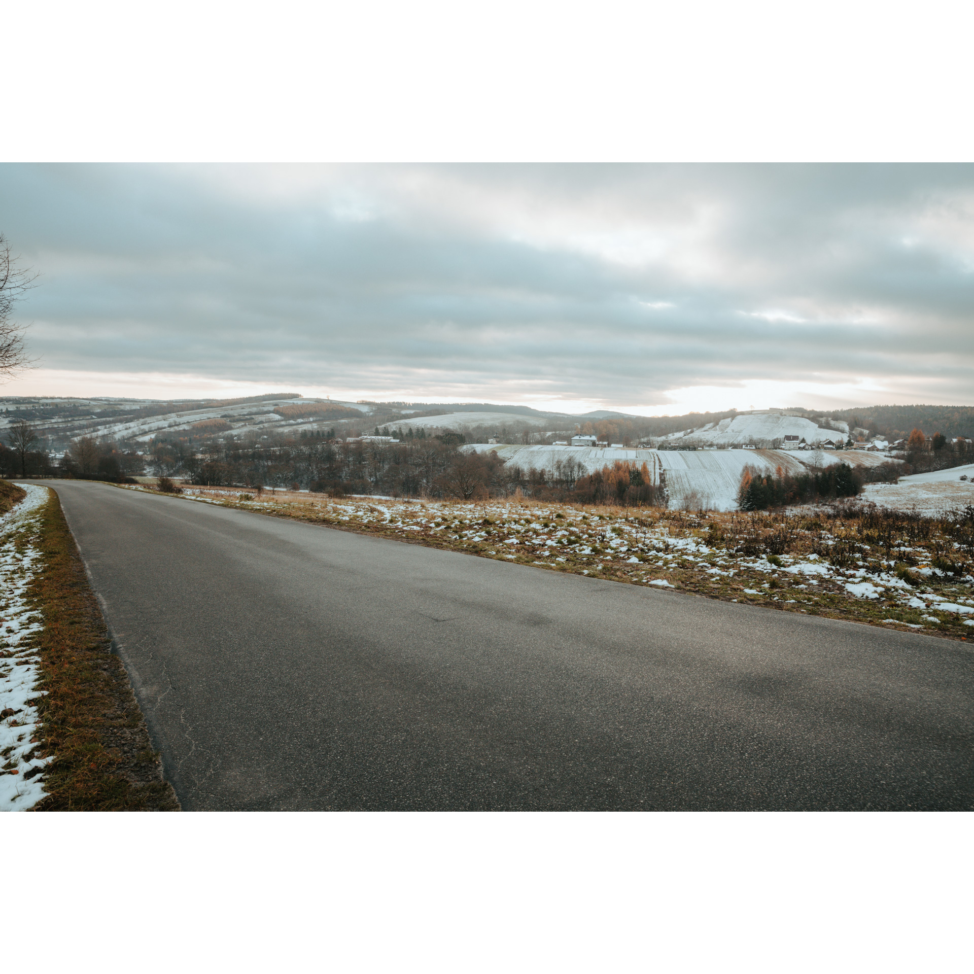
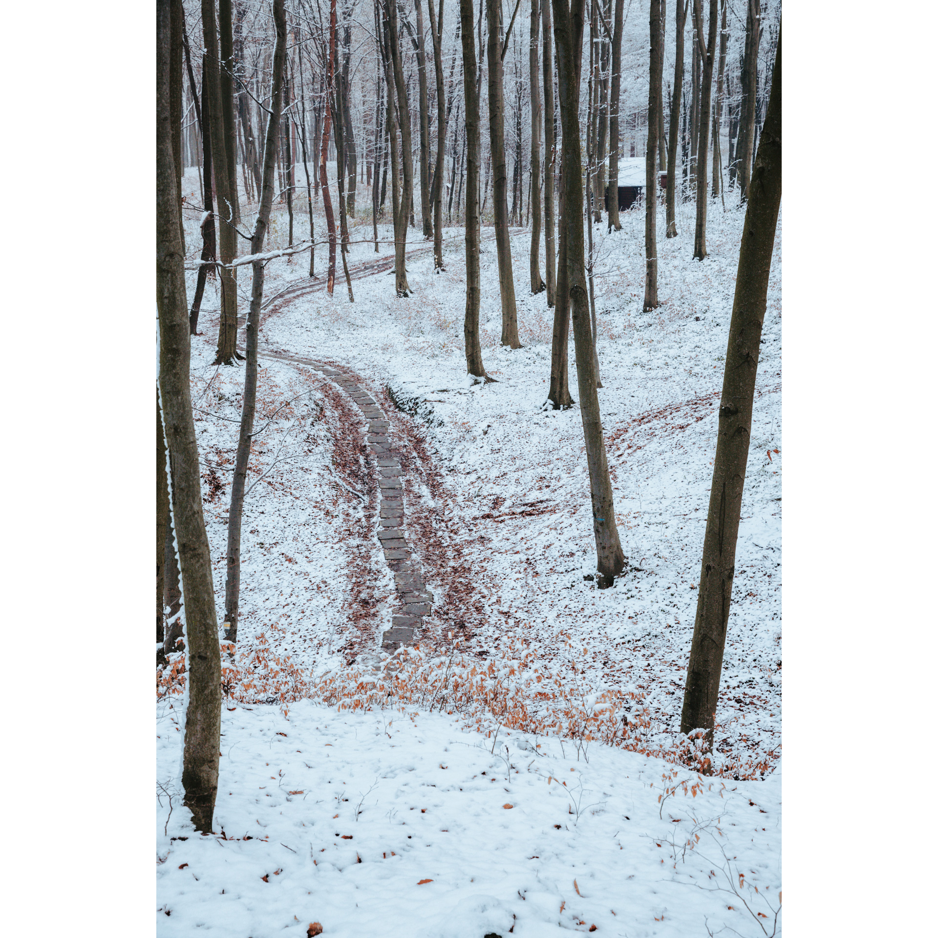
You will ride on a variety of surfaces during this route. It can be separated into two halves as a result. The first section travels along fairly difficult gravel and dirt roads close to the Grabówki Range. The second part of the trip, on the other hand, will take you along flat asphalt roads around rural buildings in the San Valley. Many of the tserkvas and churches you pass along the journey are worth stopping at, if only for a brief time.
Practical advices
When preparing for a route, be sure to check the weather forecast. This will allow you to take appropriate clothing and limit your luggage as much as possible. However, it is well known that the weather can be unpredictable, so be prepared if it gets worse. It is good practice to pack a thin rain jacket that does not take up much space.
Before starting the route, carefully analyse it on a map. Consider whether your skills and equipment are adequate for the level of difficulty of the route.
Download the accompanying .gpx file so that you always have your navigation at hand. To make sure your device doesn't fail you, also bring a power bank, charger or spare batteries. If the weather changes, you may find it useful to have a waterproof case for your electronic equipment.
Be sure to take drinks and food with you on long journeys; you never know when you will get hungry. Remember that a shop or restaurant may be located a long way away. We recommend that you stock up on water, isotonic drinks, energy bars and snacks. This will make sure you don't lose the motivation to continue riding.
The absolute basis for safety is, of course, a helmet. Also, prepare yourself technically. Make sure you have adequate lighting on your bike. Pack a repair kit. Spare inner tubes, a pump, a multitool, all of these things can come in handy in the event of a breakdown, which of course you don't want!
Dolina Sanu i Wisły
Audiodeskrypcja tekstowa
Route details
Mrzygłód - Raczkowa - Końskie - Witryłów - Ulucz - Dobra - Hłomcza - MrzygłódStart
- 1Mrzygłód0 kmMrzygłód
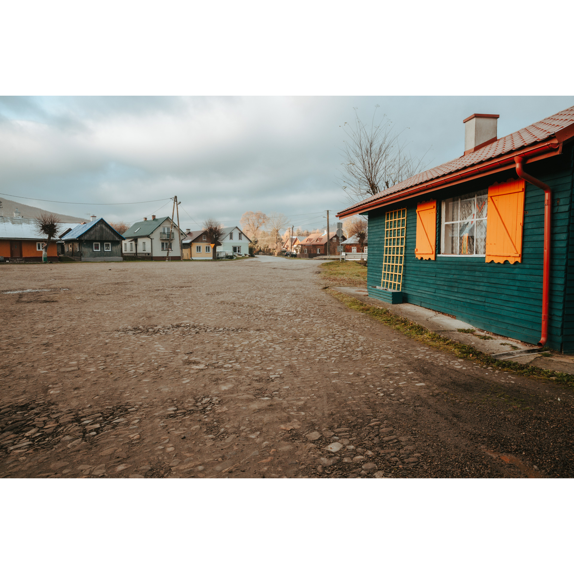
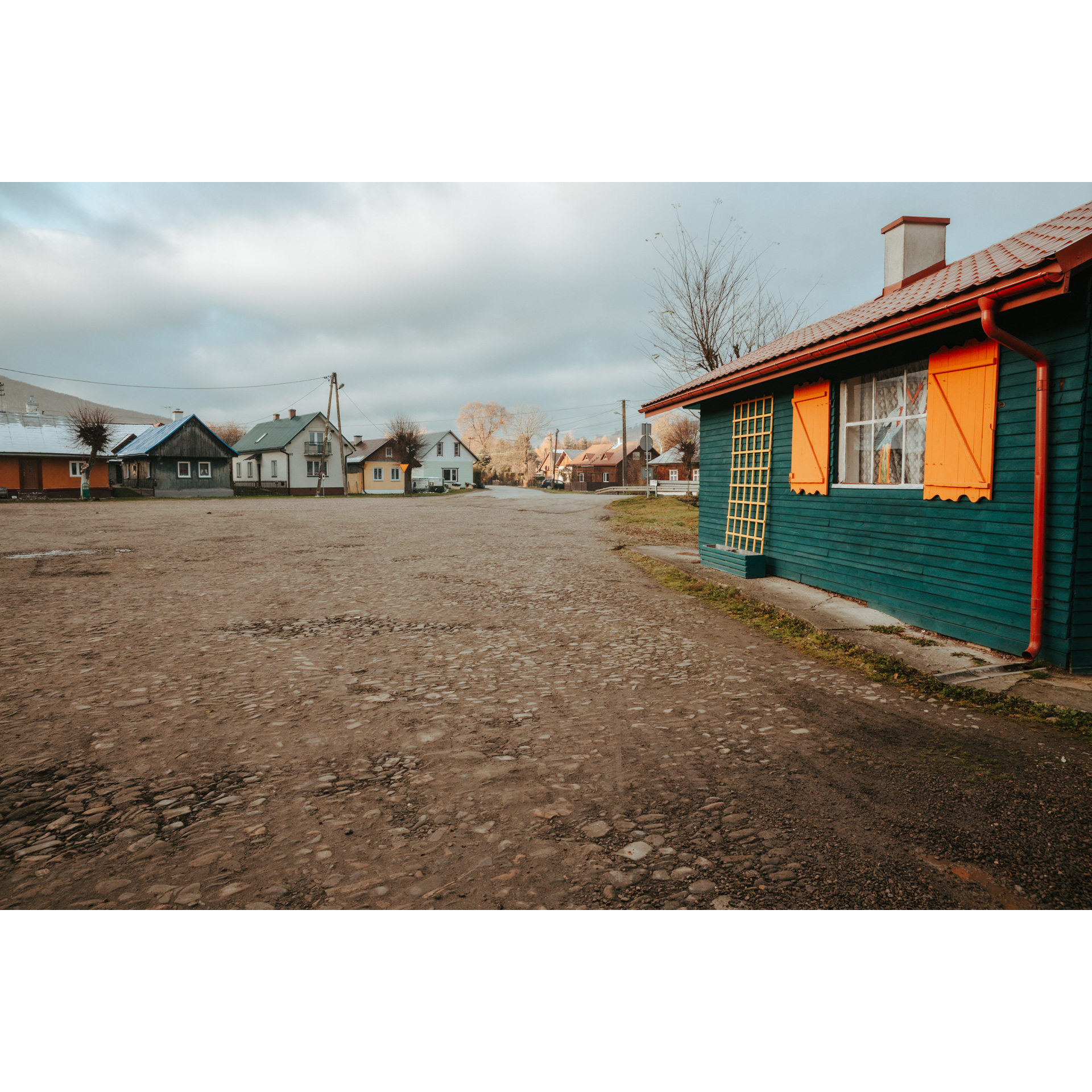
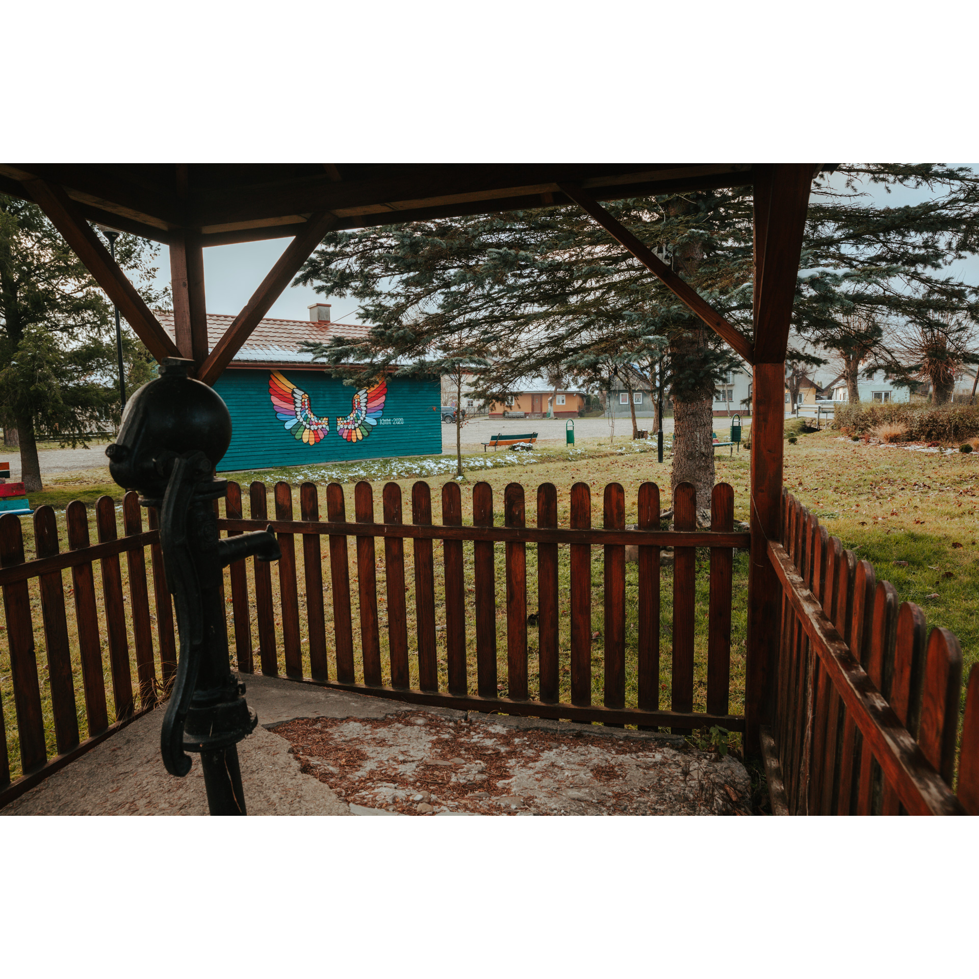
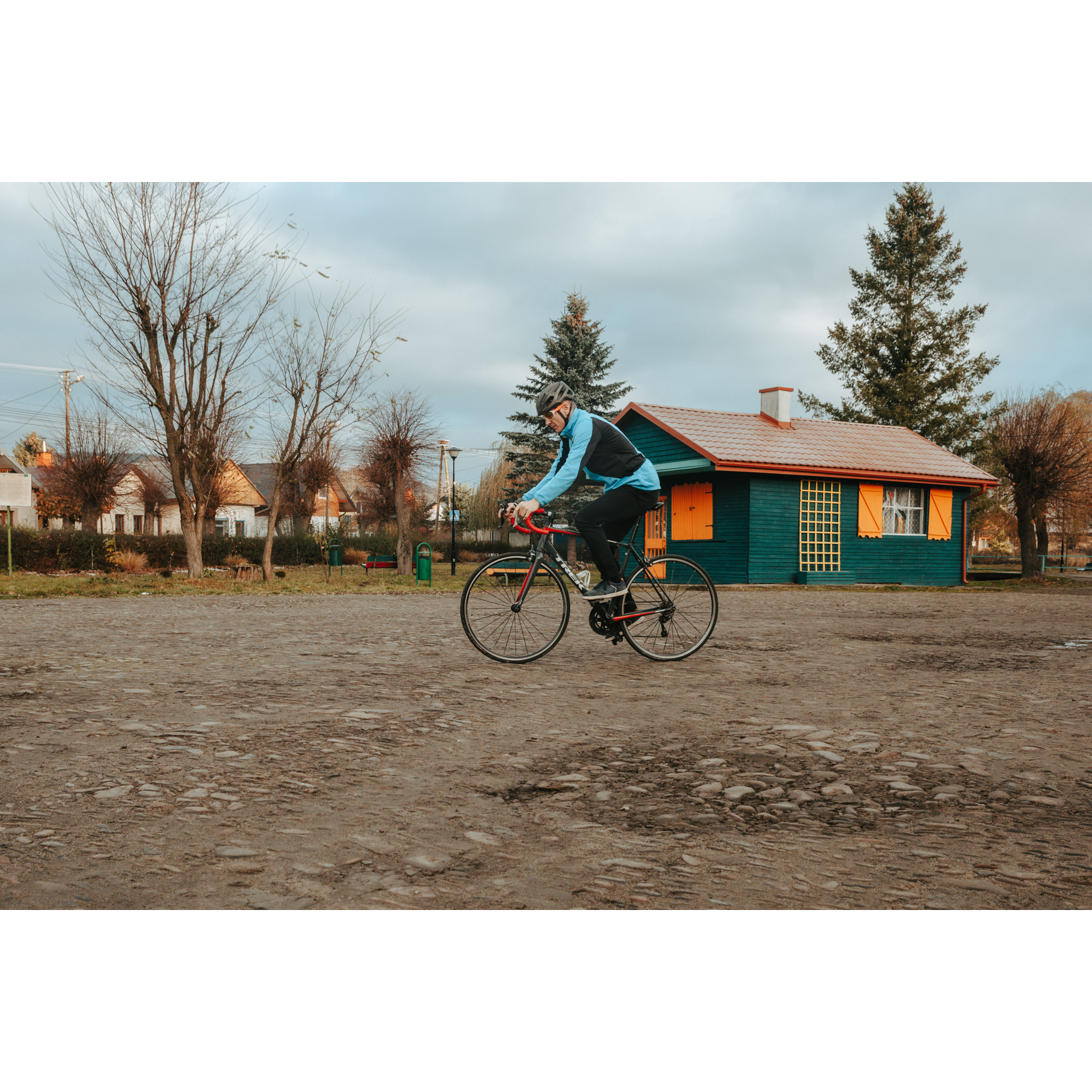
The Mrzygłód market square is worth exploring right at the start of your journey. The Mrzygłód building complex is a noteworthy stop along the Wooden Architecture Route. Although this custom lasted until the middle of the 20th century, the village was well known for its ceramic goods. The quadrilateral layout of the market square, paved with river stone, has made the village attractive in modern times. Through its centre flows the Iłna creek.
To leave the market square and start your cycle route, turn right and then take the first street on the left. There are multiple ascents on the way to Raczkowa. Initially, you will be cycling along an asphalt road, which will change to gravel and forest roads after a few kilometres. Throughout, stay on the main road.
- 2Raczkowa8.8 kmRaczkowa
Reaching the intersection in Raczkowa, turn right and head for Końskie.
- 3Końskie12.7 kmKońskie
On the way, you will pass the former wooden Tserkva of the Transfiguration from 1927, with a stone screen bell tower. The red cycling trail will lead you to Witryłów.
- 4Witryłów14.6 kmWitryłów
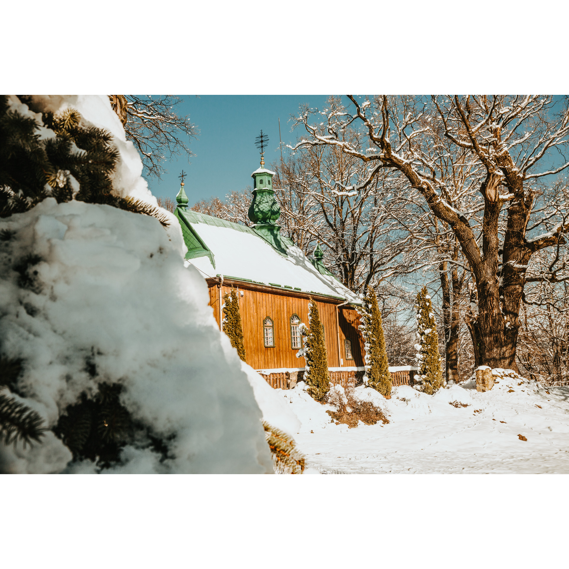
As you drive into Witryłów, you will see the former Greek Catholic Tserkva of Archangel Michael. The church was built in 1812. Although it was not used after 1947, it now serves the Roman Catholic faithful.
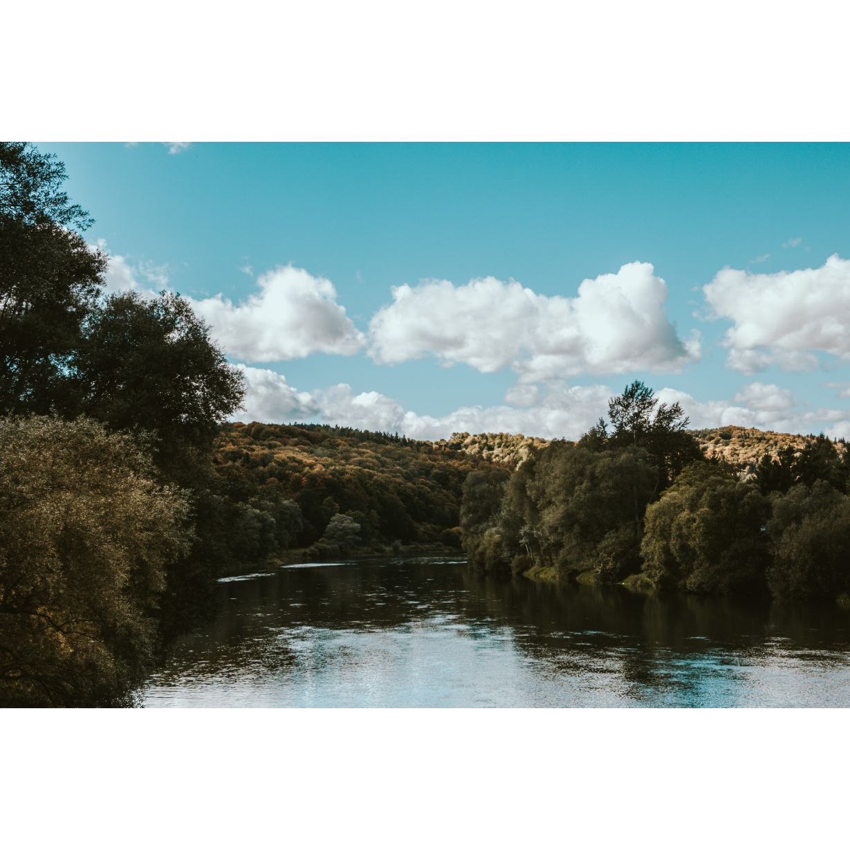
The next point of the route is the village of Ulucz. To get there, go right at the crossroads and cross the suspension footbridge over the San River. The footbridge is 234 m long.
- 5Ulucz18.5 kmUlucz
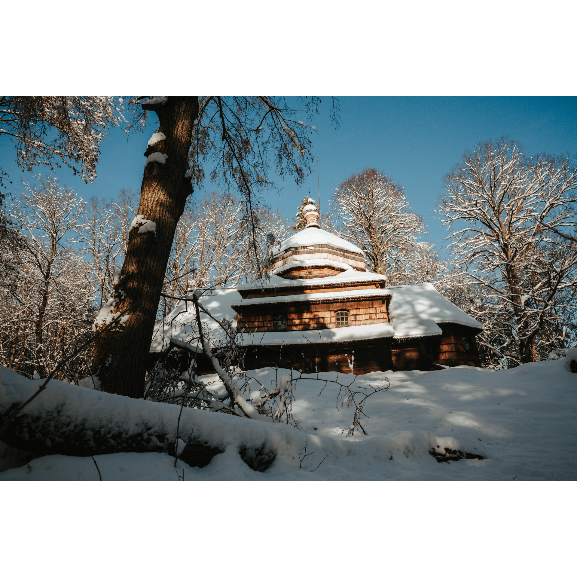
The next stop is the Greek Catholic tserkva of Our Lord’s Ascension. The temple is located on the hill of Dębnik on the San River. It was built in 1659, although it was originally thought to be much older. According to legend, the tserkva was planned to be built in a different place. All the building materials were brought in, but the next day they were gone and were only found on the top of Dębnik Hill. The fact that this situation occurred twice more was taken as a sign from heaven, and work on a new location was started. Surrounding the church is a historical cemetery. Admission to the church costs 5 PLN (as of July 2022).
An attentive eye will notice the remains of the stone walls around the building, which once had a defensive function. Thanks to the restoration of the buildings in the 1960s, you can still enjoy the charm of the place. To reach the next place on the route, follow the blue cycle trail (the main asphalt road) towards the village of Dobra.
- 6Dobra22.8 kmDobra
It is worthwhile to visit the Tserkva Complex in this village. The former Greek-Catholic Tserkva of St. Nicholas, which was later converted into a Roman Catholic church, as well as a gate bell tower from the 17th century, are included in this ensemble. The interior of the church is decorated with figural polychrome and a classicist iconostasis.
Head in the direction of Hłomcza.
- 7Hłomcza24.9 kmHłomcza
The Greek-Catholic tserkva of Sobor of Mother of God, constructed in 1859, is the final attraction on the tour. Its unique feature is a brick bell tower with three bells. The Roman Catholic Church took control of the church after World War II, but Greek Catholics have once again occupied it since 1991.
To reach the final point, head towards Mrzygłód.
- 8Mrzygłód26.8 kmMrzygłód
Your trip ends at your starting point. Congratulations!
Attractions near this route
Gallery
Check other routes


