Rzeszów and its surroundings
Railway shelters in Strzyżów and Stępina
XML, 164.38kB
About this route
This is a challenging route, not only because it is over 80 kilometres long, but also because much of it is uphill. It is suitable for advanced cyclists who want to test their skills in navigating unfamiliar terrain. It is primarily a scenic route, but will also delight enthusiasts of combat shelters and military equipment.
Practical advices
When preparing for a route, be sure to check the weather forecast. This will allow you to take appropriate clothing and limit your luggage as much as possible. However, it is well known that the weather can be unpredictable, so be prepared if it gets worse. It is good practice to pack a thin rain jacket that does not take up much space.
Before starting the route, carefully analyse it on a map. Consider whether your skills and equipment are adequate for the level of difficulty of the route.
Download the accompanying .gpx file so that you always have your navigation at hand. To make sure your device doesn't fail you, also bring a power bank, charger or spare batteries. If the weather changes, you may find it useful to have a waterproof case for your electronic equipment.
Be sure to take drinks and food with you on long journeys; you never know when you will get hungry. Remember that a shop or restaurant may be located a long way away. We recommend that you stock up on water, isotonic drinks, energy bars and snacks. This will make sure you don't lose the motivation to continue riding.
The absolute basis for safety is, of course, a helmet. Also, prepare yourself technically. Make sure you have adequate lighting on your bike. Pack a repair kit. Spare inner tubes, a pump, a multitool, all of these things can come in handy in the event of a breakdown, which of course you don't want!
Rzeszów and its surroundings
Audiodeskrypcja tekstowa
Route details
Strzyżów – Stępina – Lubla – Łączki Jagiellońskie – StrzyżówStart
- 1Strzyżów0 kmStrzyżów
The start of this route will not take place, like most others, in the market square, but at the railway station. The first attraction is the railway shelter located next to Żarnowska Mountain. It was built for German needs as part of the Anlage Süd complex and was used by Adolf Hitler and his entourage. However, we will turn right, heading west. Exit Żarnowska Street to the intersection and turn left onto Witosa Street. At its fork, choose the right side and at the nearby roundabout take the third exit. You will travel on Słowackiego Street to the centre. It is worth stopping at the market square or approaching the church, whose walls were built in the 15th century. Continuing on Łukasiewicza Street, which becomes Jana III Sobieskiego Street, you will leave the dense urban buildings. You will reach a roundabout where you will take the first exit. Using the regional road no. 988, you will only cover 600 metres because after the water reservoir you will turn right onto Graniczna Street. Via a not-too-steep ascent, you will reach the bridge over the still narrow Wisłok river in Dobrzechów. After the bridge, turn left onto Kościuszki Street. You will now travel among sparse rural buildings, fields, and small forested areas to Grodzisko. Continue straight to Różanka, which is just beyond Grodzisko. Cross this village, staying on the main road. You will face an ascent up a hill with a forest, which will only end at the quarry in Szufnarowa. You will travel a total of 4 kilometres through the hill on the main road. At the quarry, turn left onto the regional road no. 986, and after 300 metres, turn right. Head southwest, choosing the right turn at the intersection with a well. You will reach the end of the road, passing two smaller groves and a group of buildings. Join the traffic on the privileged road, turning right at its curve, following the signs for the blue bicycle route. Ahead of you is a winding descent to Jaszczurowa. You will arrive at the fire station at the northern end of the village and turn left, following the signpost to Cieszyna. With a broad curve, you will turn back south and enter Chytrówka, a hamlet of Stępina. You will descend to the village centre on the main road, going downhill.
- 2Stępina28.6 kmStępina
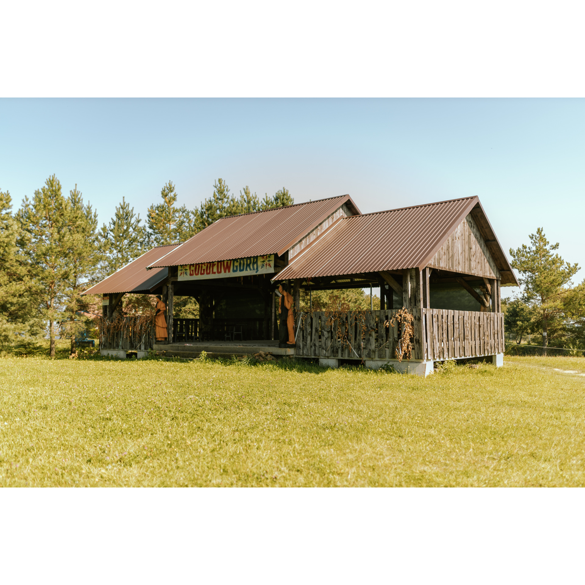
This place is a real treat for military enthusiasts. There is a railway shelter here, part of the same complex as the tunnel in Strzyżów, as well as passive and combat shelters that secured visits of the most important people in the Third Reich. A meeting between Adolf Hitler and Benito Mussolini on 27-28 August 1941 was documented here. Not all objects are in publicly accessible space, you should ask the property owners about the possibility of visiting them. Pass the tunnel so that it is on your left and go straight. On the road's curve, cross a small bridge. You will then pass a quarry and after covering 1.8 kilometres, look for a turn on the left to Gogołów. You will travel 1.2 kilometres, twice entering and exiting a thicket. After the second forest, turn right, riding along its edge. This will lead you to Gogołów. You will enter the village centre by the cemetery, turn left after it, and then right at the wooden church. Notice that the church's facade is covered with shingles, which is rare. After a long ascent, turn right at the fork. After 1.1 kilometres, turn left onto a road running along the edge of a forest. Descend from the hill into a shallow valley, staying on the main road. It turns right, guiding you to the southern fences of the village of Sowina. Stick to the asphalt road. With a continuous descent, you will reach the fire station in Bieździadka. Pass it without turning to roll into Lublica. Passing a cemetery, a Volunteer Fire Brigade station, and a church, you will enter the village centre. Turn left onto the priority road. Ahead is Sieklówka, where near the church you will turn left, and winding through farms and fields, you will reach Lubla.
- 3Lubla49.4 kmLubla
Leaving the road you have been on, you have a wooden church on a hill in front of you, preserved in the Gothic style. At the intersection with the bus stop, turn left onto regional road no. 988 and at the next crossroad, descend to Sośnina, as the signpost indicates. When after a kilometre you enter a group of buildings, be cautious to choose the right side on the junction behind them. Further, you will delve into the forest on the hill, behind which you will stand in Niepla. Drive through the village to the south, passing a school and a fire station. In a group of buildings a kilometre further, you will turn left after the intersection, before the sign marking the end of the built-up area. The road will be narrow and will descend southeastward to the village of Chrząstówka. Cross the village on the main road and after 2 kilometres, by the buildings, turn sharply right. You should turn near the property with number 171. If in doubt, ask the locals for help or take the road that soon turns left and crosses the railway tracks. Bajdy is the next village you will pass through, where you should turn left at the intersection with a large metal cross and a small grove opposite it. Heading north on fairly even terrain, you will reach Wojaszówka. Turn right onto regional road no. 990 and after almost 300 metres, turn left to cross the bridge over the Wisłok river. After the bridge, turn left, following the flow of the river. This way, you will reach Łączki Jagiellońskie.
- 4Łączki Jagiellońskie64.4 kmŁączki Jagiellońskie
At the fire station in this village, turn right. You will pass a church surrounded by a high wall dedicated to St. Andrew the Apostle and the Nativity of the Virgin Mary, and shortly after, you will enter the forest. Stick to the asphalt road for the next 1.8 kilometres. At crossroads, turn left, and after 100 metres, follow the course of the road and turn right. In Rzepnik, turn right to reach the beautiful brick church of St. Paraskewa and the old Jagiellon oak, which is about 500 years old. Our route continues up the hill where there is a Greek Catholic cemetery - to get there, starting from the church, turn right at the first intersection. After the forest and the hill, after 3 kilometres of driving through the dense woodland, you will reach Wysoka Strzyżowska. Turn left at the end of the road and head north. You will pass a Neo-Gothic church made of red brick, then a primary school and continue straight on the main road. At the 64th kilometre, you will cross a small bridge and 200 metres after it, you will turn right, and after 100 metres, turn left. This way you will get on the road to Gbisk. You are already near Strzyżów - at the roundabout on the city's bypass, go straight on Południowa Street, then turn left onto Mostowa Street. After the bridge, turn into Witosa Street, and then into Żarnowska Street.
- 5Strzyżów82.6 kmStrzyżów
Your trip ends near the starting point.
Attractions near this route
Gallery
Check other routes


