The Low Beskid
Through the Low Beskids
XML, 3.79MB
About this route
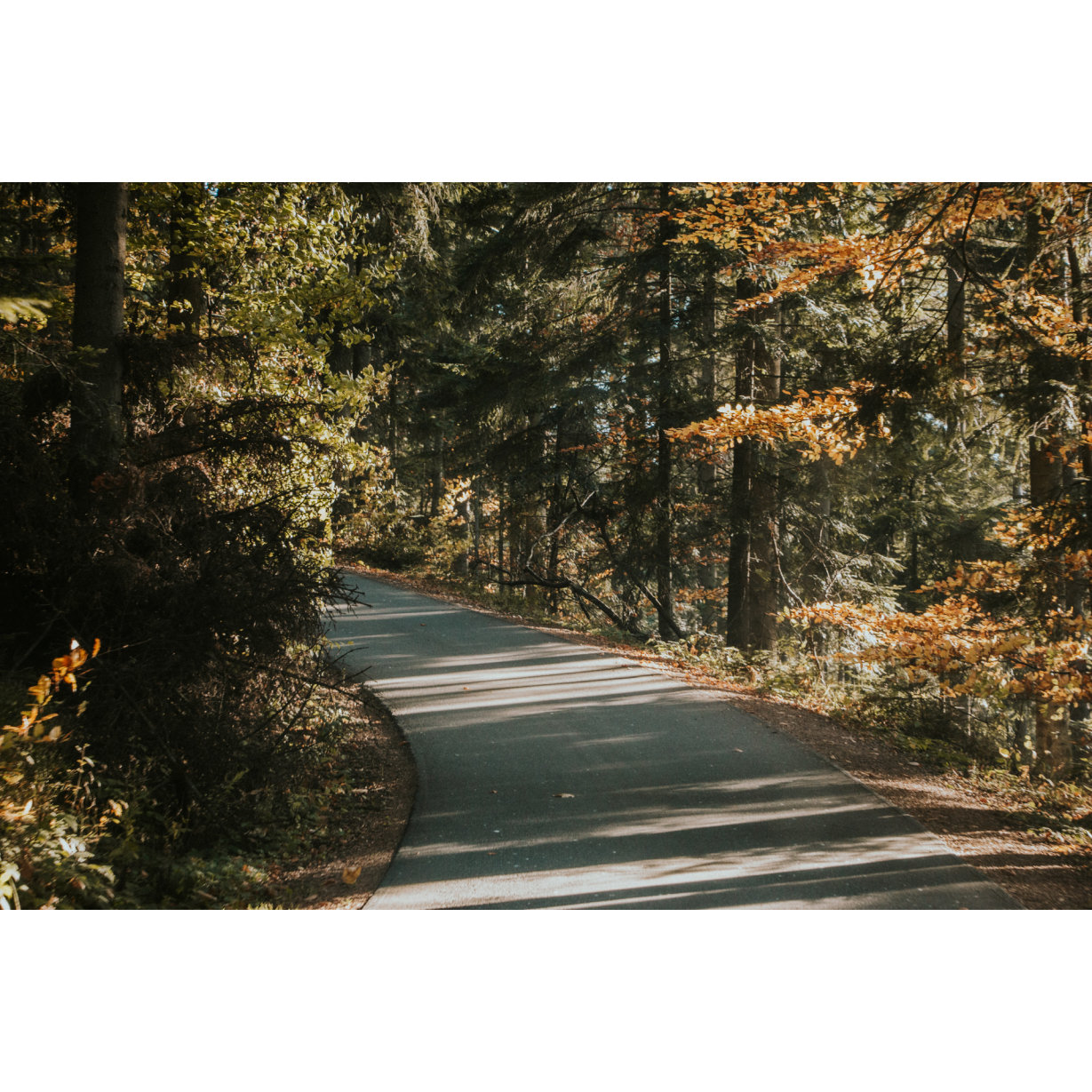
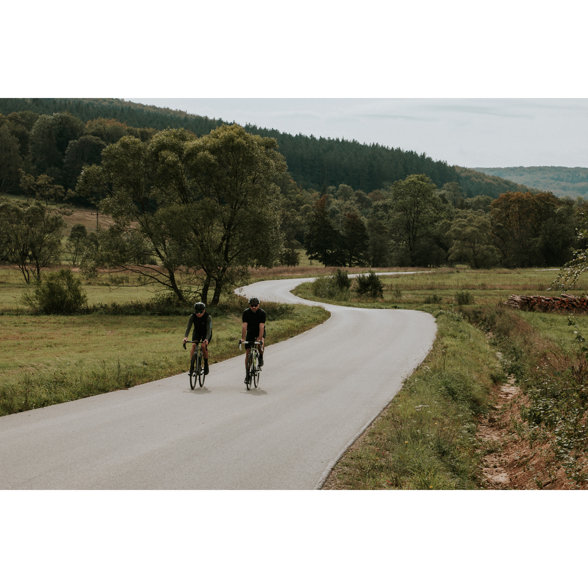
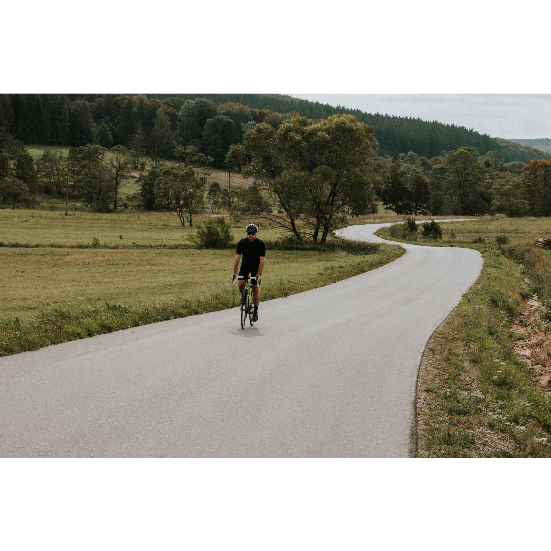
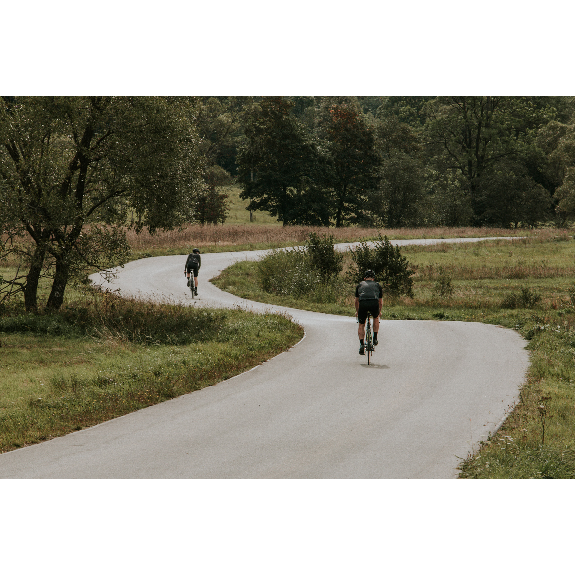
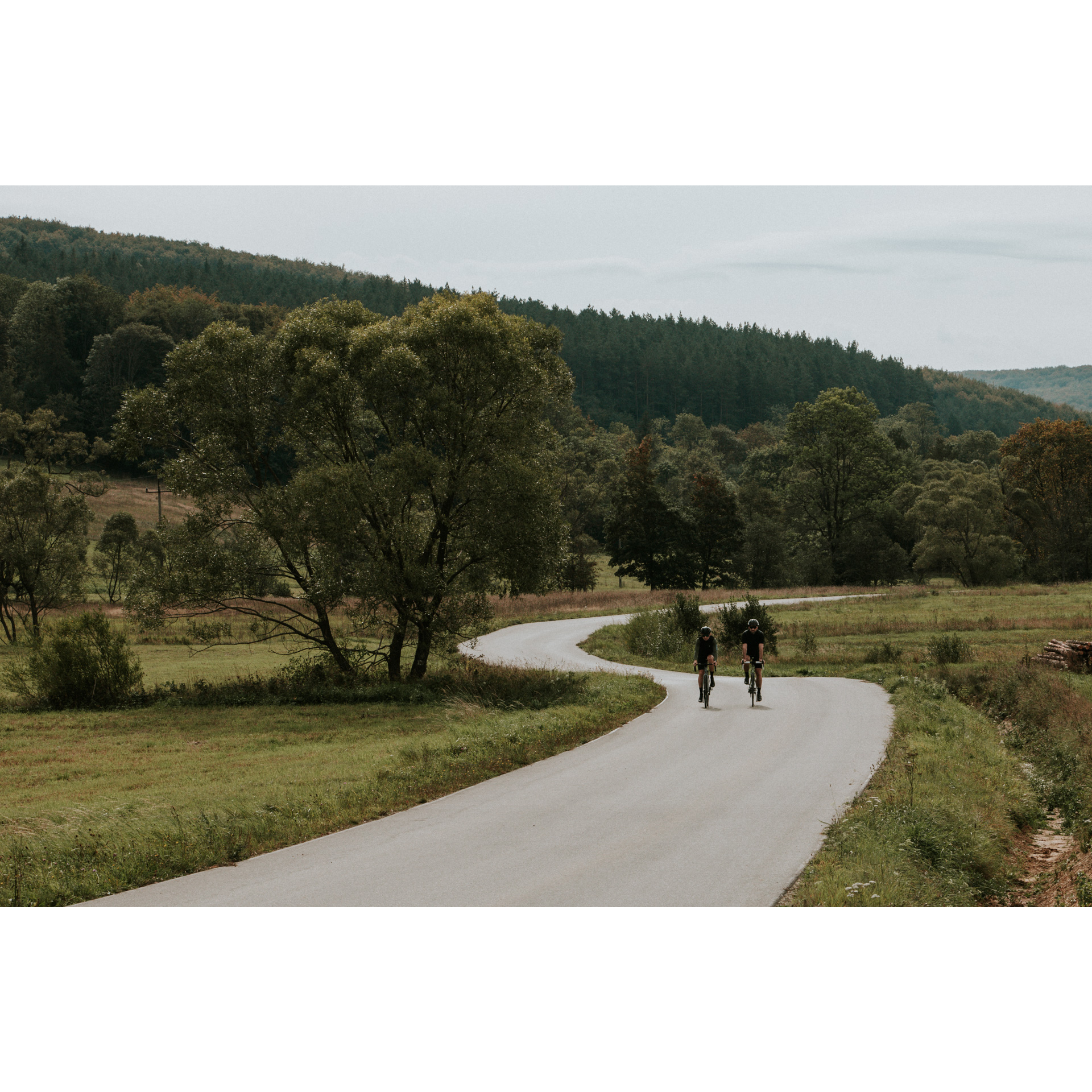
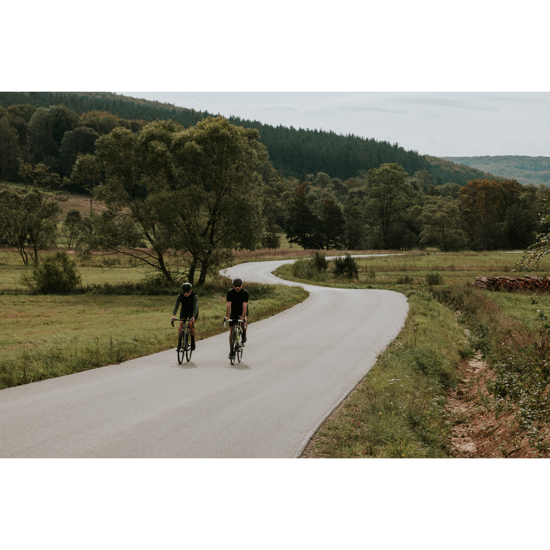
The route leads through the area over the Polish-Slovakian border. It begins and ends in Dukla. Technically, it is a difficult route, mainly due to the long distance and an elevation gain of up to 1645 m. However, it leads along asphalt roads, which for the most part makes the journey easier. Although it runs through many towns and villages, which are often picturesque, it mostly runs through the forests and hills of the Low Beskid. Many of the villages along the route and slightly adjacent to it are just points on a map, a reminder of the tragic history of the area.
Practical advices
When preparing for a route, be sure to check the weather forecast. This will allow you to take appropriate clothing and limit your luggage as much as possible. However, it is well known that the weather can be unpredictable, so be prepared if it gets worse. It is good practice to pack a thin rain jacket that does not take up much space.
Before starting the route, carefully analyse it on a map. Consider whether your skills and equipment are adequate for the level of difficulty of the route.
Download the accompanying .gpx file so that you always have your navigation at hand. To make sure your device doesn't fail you, also bring a power bank, charger or spare batteries. If the weather changes, you may find it useful to have a waterproof case for your electronic equipment.
Be sure to take drinks and food with you on long journeys; you never know when you will get hungry. Remember that a shop or restaurant may be located a long way away. We recommend that you stock up on water, isotonic drinks, energy bars and snacks. This will make sure you don't lose the motivation to continue riding.
The absolute basis for safety is, of course, a helmet. Also, prepare yourself technically. Make sure you have adequate lighting on your bike. Pack a repair kit. Spare inner tubes, a pump, a multitool, all of these things can come in handy in the event of a breakdown, which of course you don't want!
Beskid Niski
Audiodeskrypcja tekstowa
Route details
Dukla – Lubatowa – Daliowa – Krempna – Ożenna – Krempna – Nowy Żmigród - DuklaStart
- 1Dukla0 kmDukla
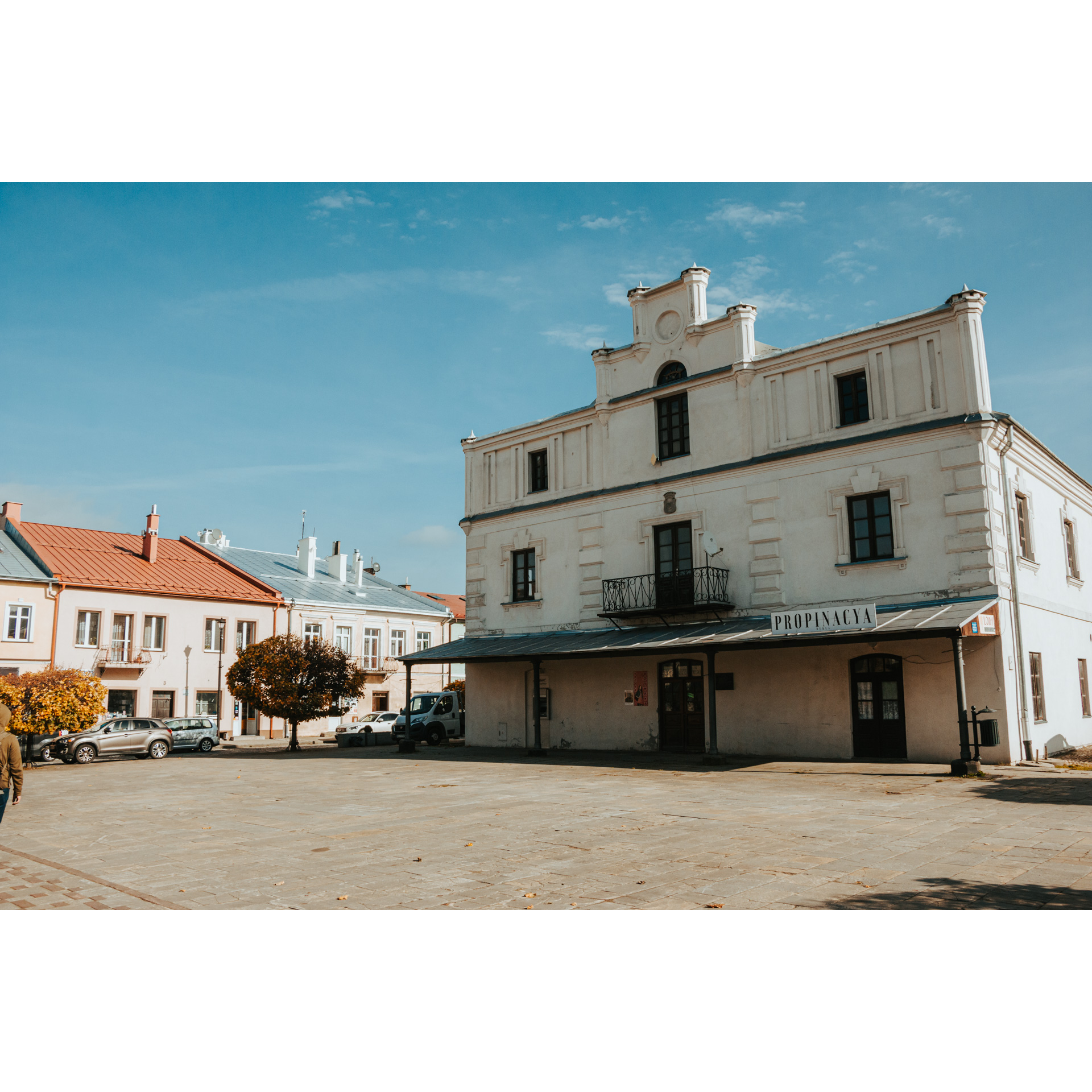
Your journey begins at the market square in Dukla. Look around, it is a wonderful example of the architecture and urban layout of a small Galician town. In the middle of the square, you will notice the Renaissance town hall. Leave the market square onto the Tract Węgierski Street. Turn left and after 150 m turn left again, heading towards Kościuszki Street. From Kosciuszki Street, turn right into Cegrowska Street. Keep to the main road, and turn left by the chapel at the crossroads. Go through Jasionka towards Lubatowa. At the crossroads in Jasionka turn left.
- 2Lubatowa7.2 kmLubatowa
When reaching Lubatowa, do not forget to enjoy the panoramic view. In the village, turn left towards the centre of the village. Past the church and the cemetery of World War II victims, head right. On the way to Daliowa, you can stop at a shed in Przymiarki and learn about the history of the area. Passing through Bałucianka, you can visit the tserkva of the Dormition of the Mother of God; an
interesting monument, a remnant of the Greek Catholic inhabitants. Note the elaborate construction and the defensive qualities of the walls. Leaving the village, head east. At the end of the road, turn right and pass through Królik Polski. Don't forget to stop at the ruins of the tserkva and the gate on the Szklarska Pass, a symbolic passage from the Romanov region to the Daliowa area and the Polish-Slovak borderland.
- 3Daliowa23 kmDaliowa
Turn right from the regional road no. 887 onto road no. 897. Go straight to Tylawa. Along the way, enjoy the beautiful views and wildlife in the Beskid forests. In Tylawa, just beyond the bridge on national road no. 19, turn right to Mszana. Past this village, you will come to a viewpoint. Continue to Polany, then you will reach Krempna.
- 4Krempna50 kmKrempna
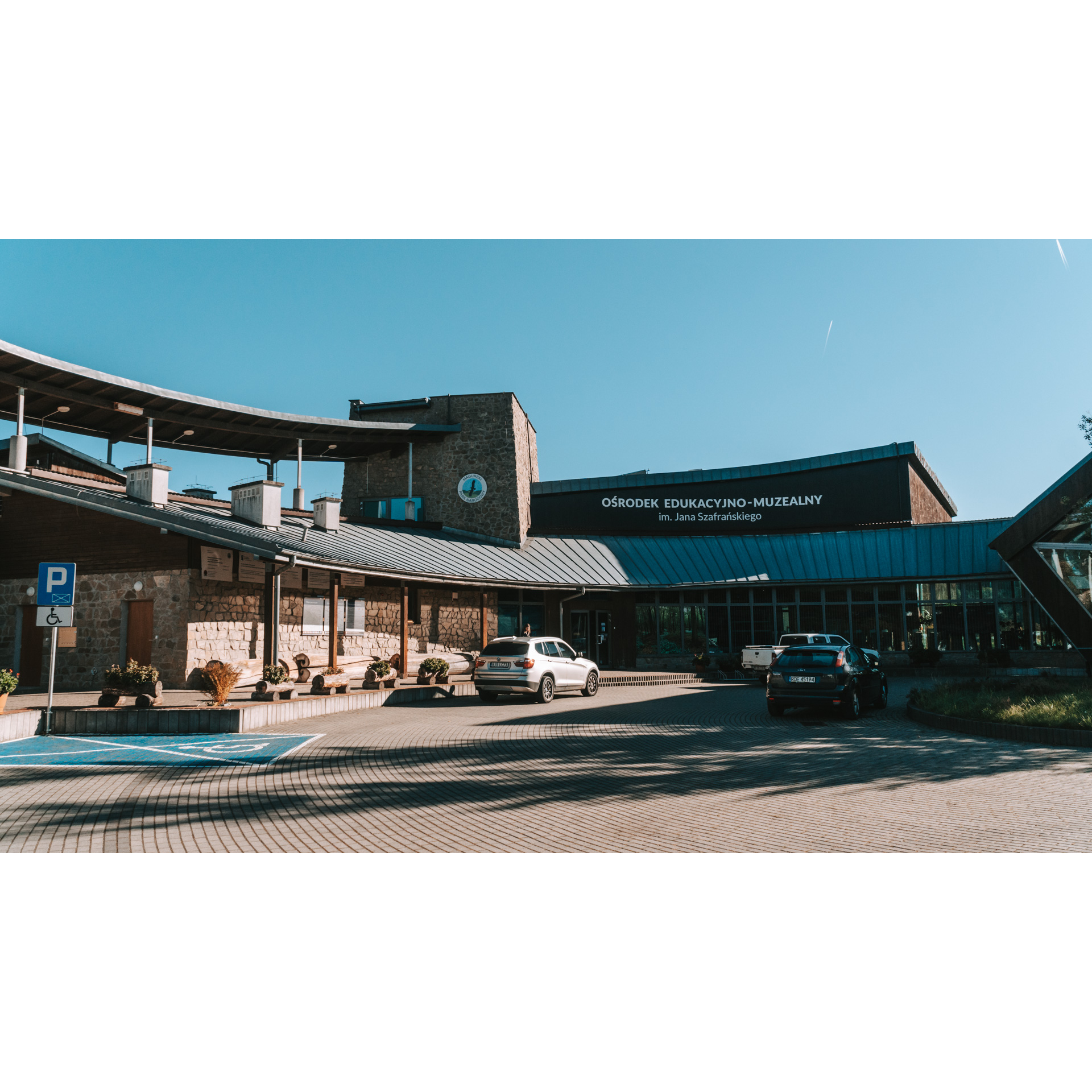
At the main intersection, go straight ahead, following regional road no. 992. You will pass the J. Szafrański Educational-Museum Center. It is worth visiting, as it is a modern facility with an interactive exhibition presenting the natural wealth of the region, including the Magura National Park. Head ahead to Kotań, Świątkowa Mała, through the now non-existent Rozstajne on the slope of Cyrla (694 m) to Ożenna.
- 5Ożenna66.5 kmOżenna
At the crossroads, leave regional road no. 992 and head left. You may take a moment to stop at the nearby War cemetery no. 3. Then enter Grabska Górka and through the forest head towards the non-existing village of Ciechania. Remember that you are traversing national park areas. At the lookout point on Ciechania, take the road that runs by the edge of the forest. You will then pass Żydowskie with a tserkva, cemetery and nature trail. Keeping to the paved road, you will reach Krempna again.
- 6Krempna79.7 kmKrempna
You can stop for a rest at a reservoir on the Wisłoka River in Krempna. Cut through the village and head north on regional road no. 992. Through the Hałbowska Pass, you will reach Kąty. On the pass, there is a large grave of Jews murdered in 1942. Driving along the Wisłoka River, you will reach Nowy Żmigród. On the way, you can admire the landscape of the river valley.
- 7Nowy Żmigród99.4 kmNowy Żmigród
After circling the charming Galician market square, head to Dukielska Street (regional road no. 993) and go directly to Iwla. In the area, you can find the castle and fortress in Stary Żmigród and the war cemetery no. 9 in Łysa Góra. In Iwla, turn right at the monument to the victims of the 1944 battles, and after 460 m turn left into the road by the church. (You can turn off the road 1 km south and see a lovely little waterfall on the stream). Keeping to this route will lead you back to Dukla. Remember that there is still a museum in the town worth visiting at the Palace, with an open-air display of heavy weaponry and vehicles.
- 8Dukla110 kmDukla
Your route ends in Dukla.
Attractions near this route
Gallery
Check other routes


