Rzeszów and its surroundings
To the Zabłocie Nature Reserve
XML, 23.20kB
About this route
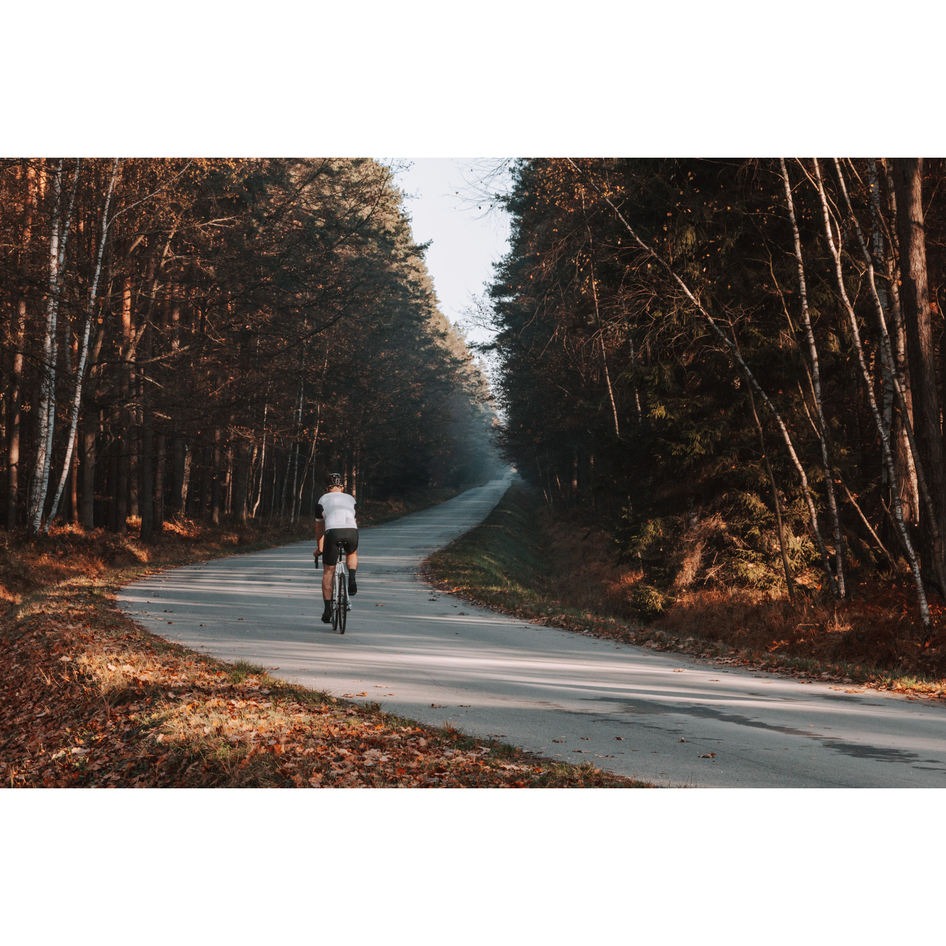
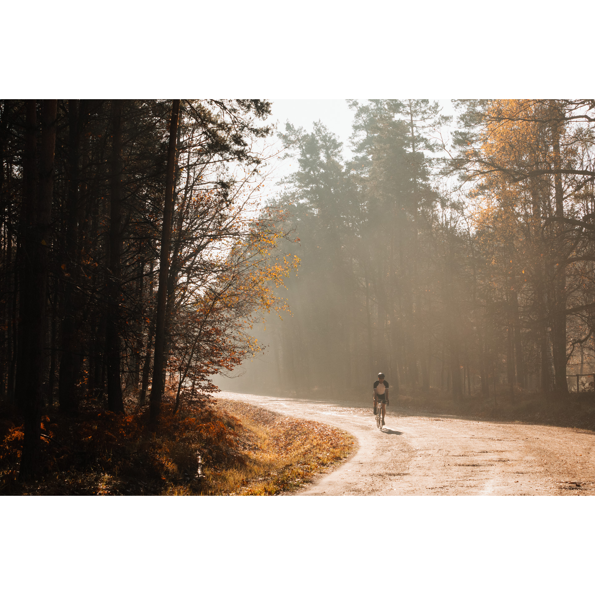
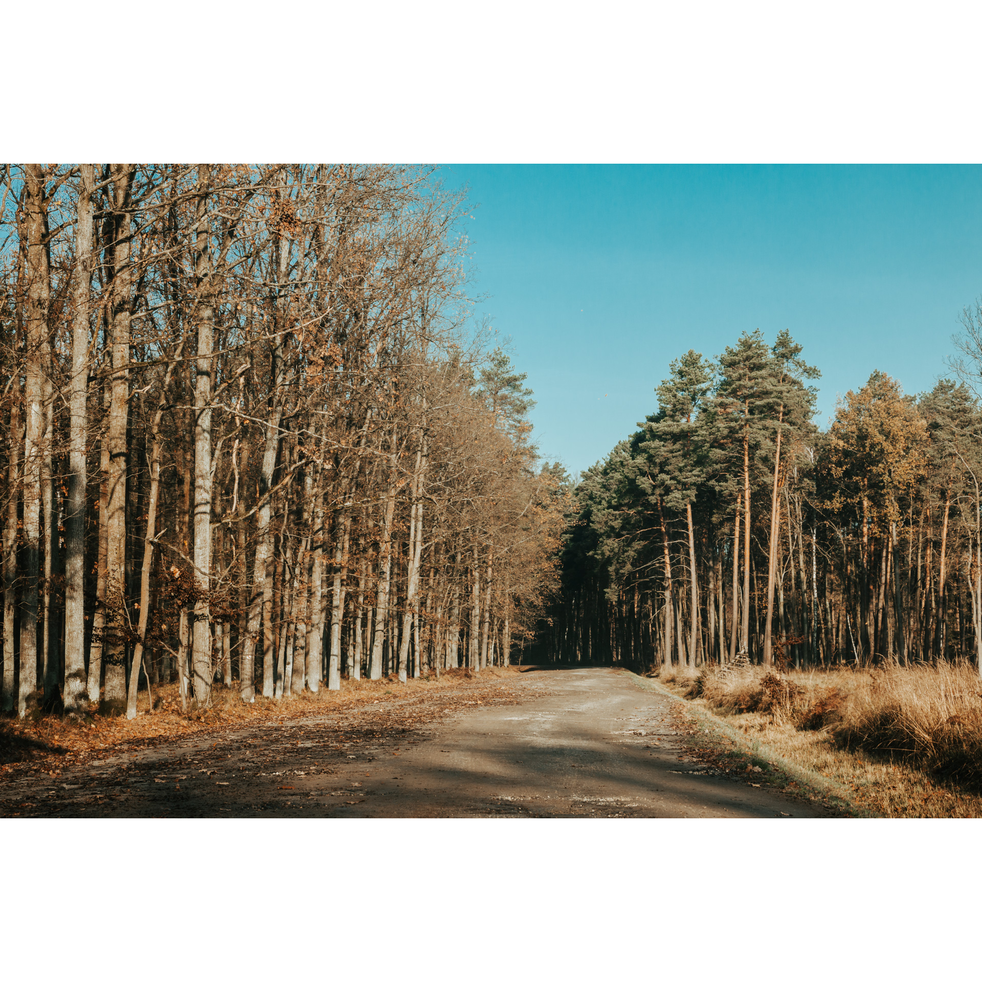
A very pleasant route. Easy and peaceful. It will also be suitable for slightly less experienced cyclists. Just a 2-hour loop ahead of you, leading among forest complexes south of Kolbuszowa. Be prepared to travel along forest paths, mostly paved.
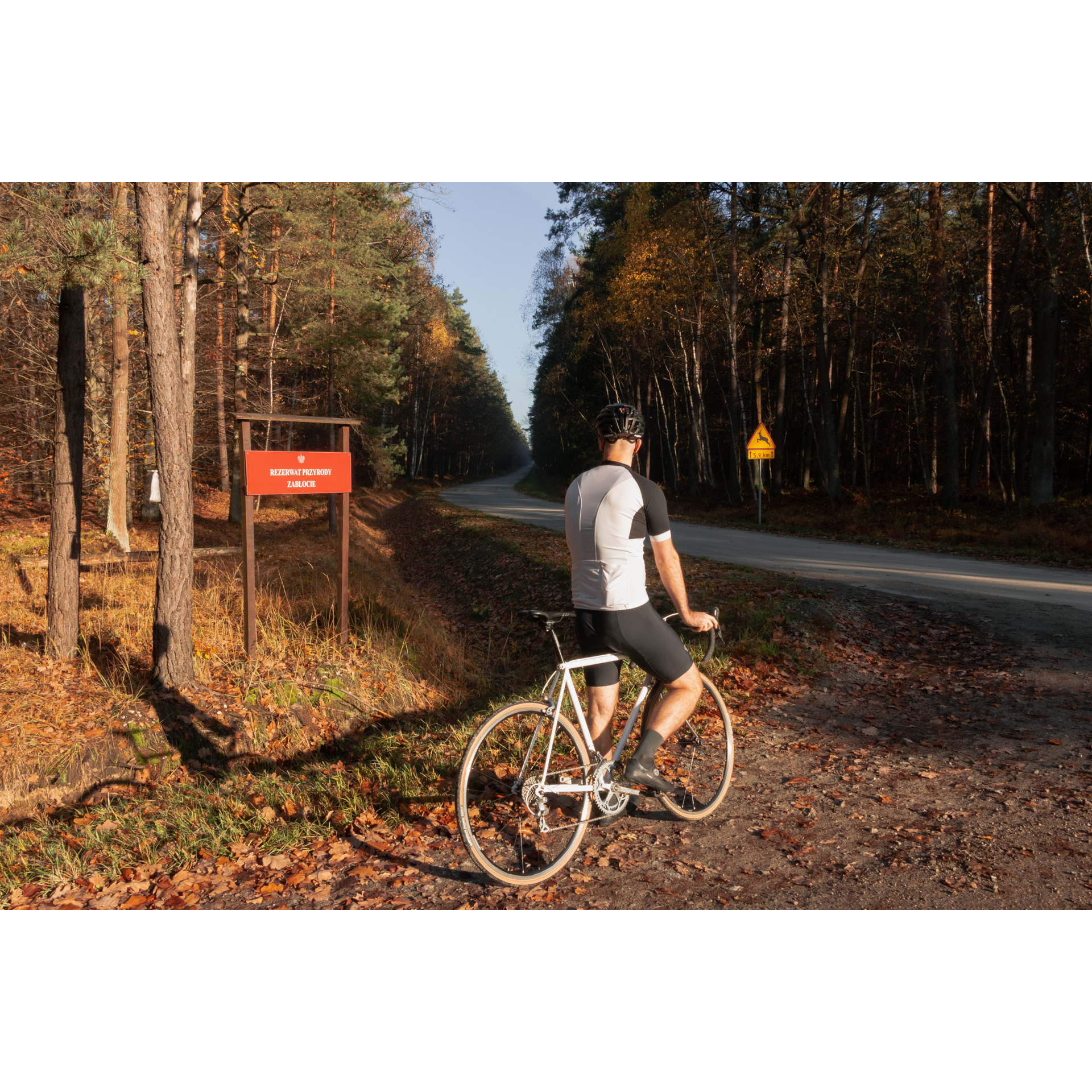
The main attraction along the route is the Zabłocie Nature Reserve. The place is a treat for nature lovers, especially ornithologists and those who appreciate peace and quiet. With a bit of luck, you may meet wild animals here, like deer, roe deer, fox or wild boar. If you are looking for a break from the hustle and bustle of the city and fast-paced life, this is the route for you.
Practical advices
Although this route is not demanding, it is worth preparing for it properly, so that nothing surprises you at any point. Start with the most important thing, which is your helmet. A good helmet is essential for your safety. Take care also of proper lighting, both front and rear. In addition to bike lights, equip your bike with reflectors so that you are highly visible on the road.
What else is worth taking with you on a trip? Make sure to pack a sweatshirt or a rail jacket in your backpack, in case the weather changes. It is also a good idea to bring snacks to give you energy during the trip. Protein bars or energy mousses work well.
If you plan to take visit the attractions along the route, you will need to leave your bike behind in some places. To make sure it is still there after the tour, be sure to bring a bike safety device such as a U-Lock or any bicycle lock.
Rzeszów and its surroundings
Audiodeskrypcja tekstowa
Route details
Parking place by the Tuszymka River - Zabłocie Nature Reserve - Kaczorówka - Parking place by the Tuszymka RiverStart
- 1Miejsce postoju nad Tuszymką0 kmMiejsce postoju nad Tuszymką
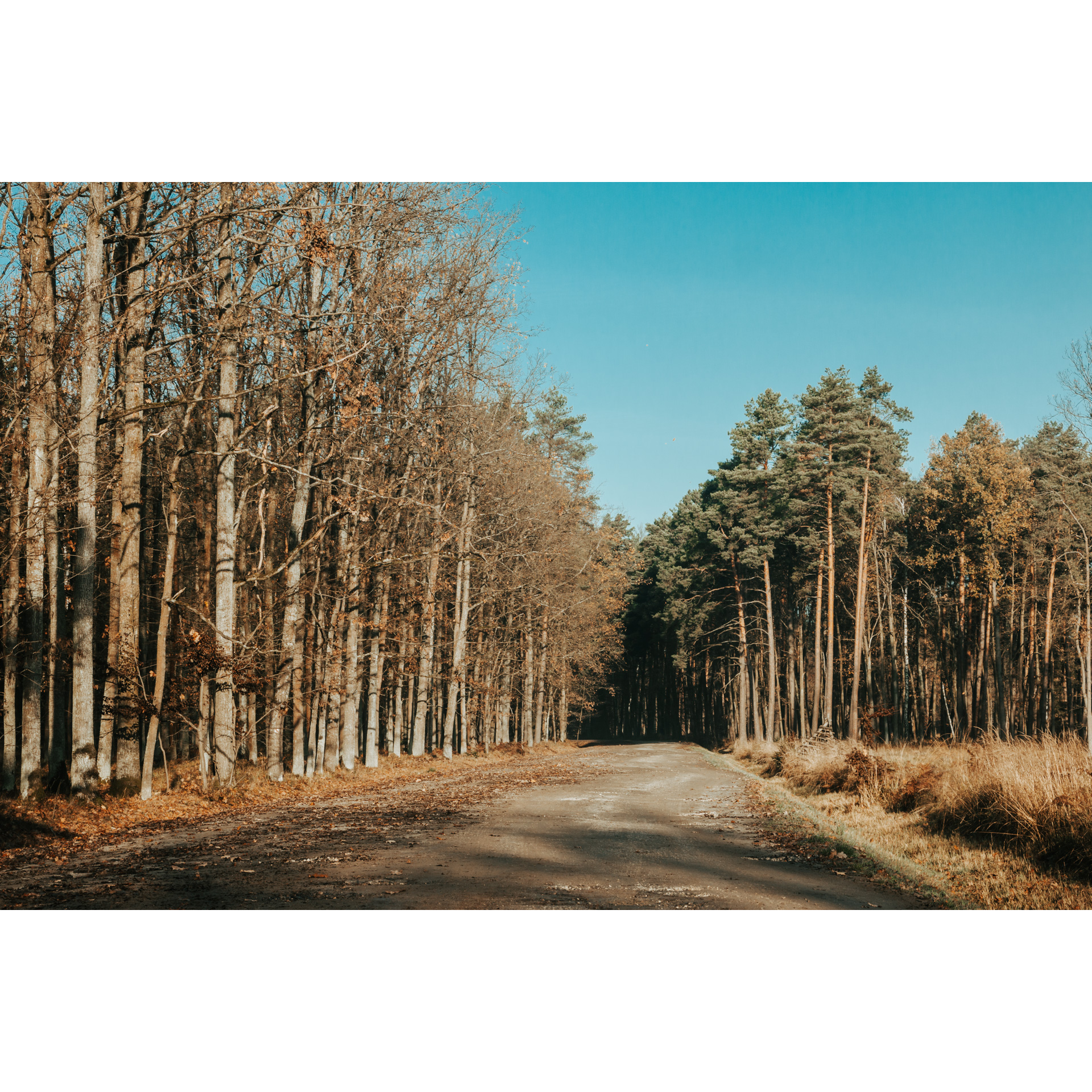
We suggest starting from the parking area by the Tuszymka River. You can park your car here. Head east along gravel fire road no. 32 . On the way, the route is crossed by the PTTK (Polish Tourist Country-Lovers' Association) yellow hiking trail, but this time you will not
follow it. Continue along the so-called "wide" road until you reach the junction with the local road between Poręby Kupieńskie and Bratkowice. Turn left here.
Go 2.7 km north. First, take the gravel road and from the junction with the so-called Szóstka (Sixth Road), take the asphalt road. From the so-called Szóstka (Sixth Road) and the yellow trail that goes with it, continue for about 700 m. After this, turn left.
- 2Rezerwat Zabłocie9 kmRezerwat Zabłocie
There is a nature reserve along the route. It includes ponds with the surrounding oak and pine forests, which are a fragment of the Sandomierz Forest. Here, the breeding sites of rare bird species are protected, more than 150 of which are found here, 30 of which are threatened with extinction. Black storks, grebes, spotted cocks, coots, and numerous species of wild geese and ducks are found here. White-tailed eagles, lesser spotted eagles and honey buzzards hunt in the area.
You are on an approx. 9.7 km route. Another part of it leads along a gravel road for approx. 2.3 km. It leads to the so-called Decowa Road. Here you turn left towards the Zabłocie Nature Reserve. At 12.7 km of the route, you will come to a viewpoint from which you can see the reserve nicely. Watch especially for what's happening in the air and the treetops; Zabłocie is, after all, a bird reserve. Turn west.
- 3Kaczorówka14 kmKaczorówka
A good paved forest road will lead you to Kaczorówka and then the bridge over the Tuszymka River. The route continues along fire road no. 33 towards the regional road no. 987. When you reach the regional road no. 987, turn left. Drive a few hundred metres and after the bridge over the Tuszymka River, turn left to the starting point of the trip. After the journey, you can rest on the benches here.
- 4Miejsce postojowe nad Tuszymką17.5 kmMiejsce postojowe nad Tuszymką
You return to the starting point of the route. You can rest on the nearby benches.
Attractions near this route
Gallery
Check other routes


