The Low Beskid
Along the Trail of Medieval Villages in the Low Beskids
XML, 95.95kB
About this route
We set off on the trail again to enjoy the beauty of nature, landscapes, and the history of the places we pass by. On this relatively easy route, the guiding thought is that we are currently unaware of the history of the places where our lives unfold. Considering what happened centuries ago, think about the current villages that were once thriving towns, about castles, routes, markets, as well as the wars and destruction they underwent. Remember - history never ends.
Practical advices
A route with a moderate level of difficulty will allow you to test your fitness. Remember that the terrain has a huge impact on how many kilometres you can cover. Trails on flat roads are less strenuous than those on hills or mountain roads.
Planning a group trip? Match the route to the fitness of the weakest participant.
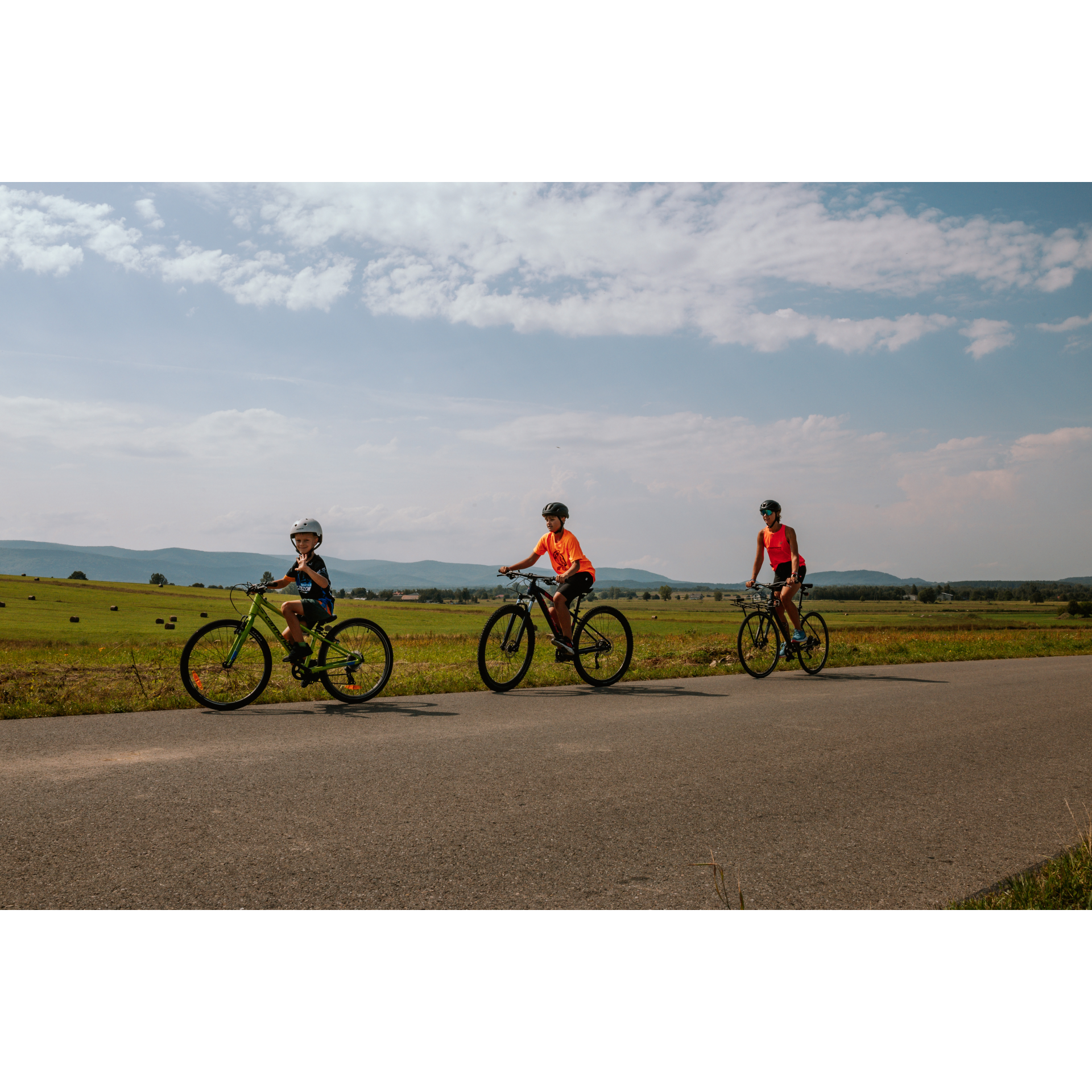
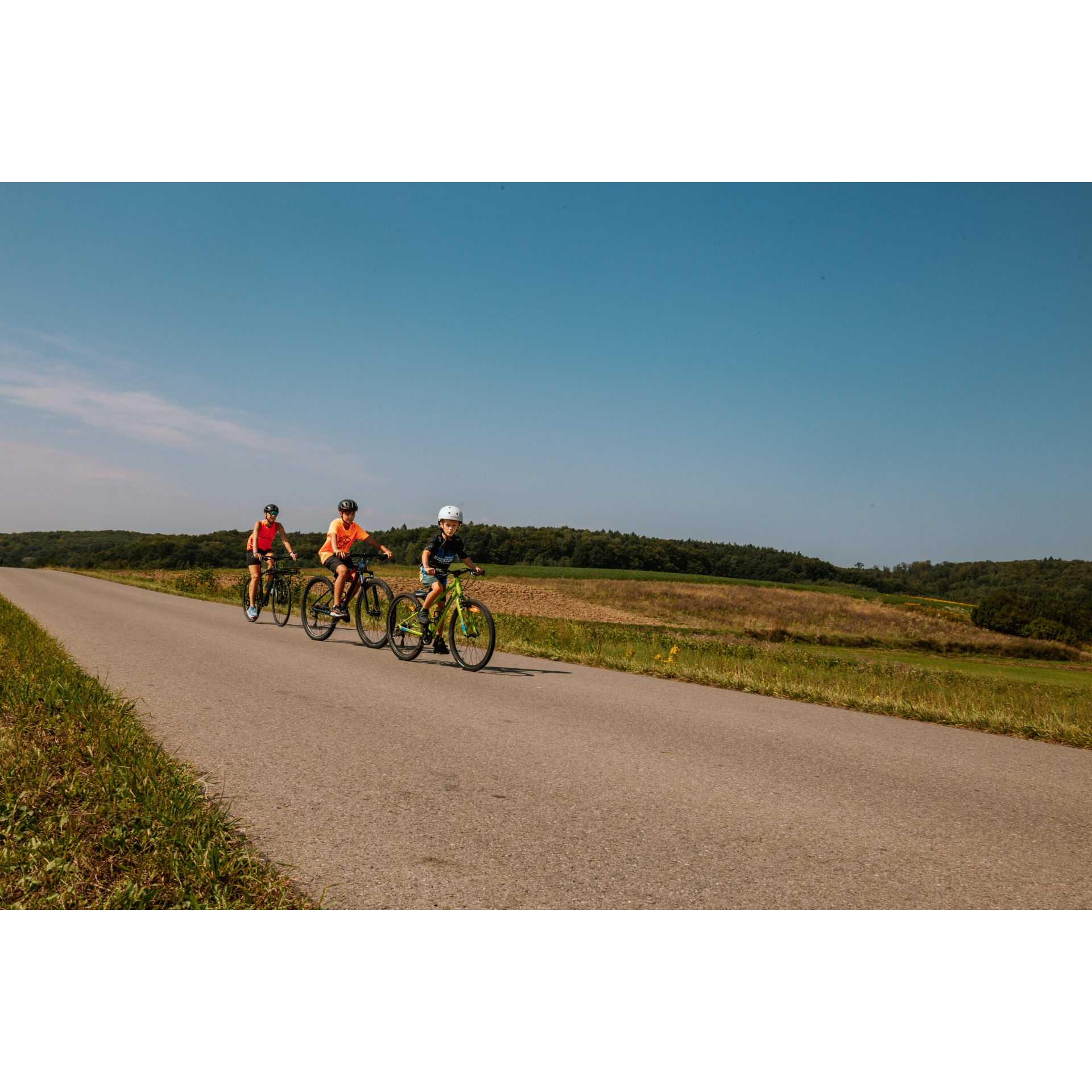
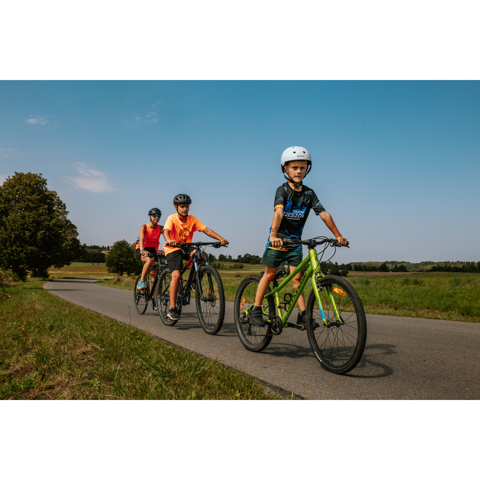
A helmet and light clothing made of breathable materials will be essential for safety and comfort on the route. Other than that, only put on the essentials. Heavy luggage will make your ride more difficult. Also, think about what you will carry the necessary items in. We suggest a backpack or panniers for your bike.
Be prepared for possible breakdowns on the route. It is a good idea to carry the most important tools for a quick fix, such as inner tubes or patches, a pump or a multi-tool. Make sure you have enough water and food, as well as navigation equipment.
Is it looking like a warm and sunny day? Remember sunscreen and sunglasses. If you are planning sightseeing or other activities along the route, a bike lock will also be very useful. Before you leave, carefully examine your route for the trip. Consider whether your skills and equipment are adequate for the level of difficulty of the route.
Beskid Niski
Audiodeskrypcja tekstowa
Route details
Jedlicze – Osiek Jasielski – Samoklęski – Nowy Żmigród – Nienaszów – JedliczeStart
- 1Jedlicze0 kmJedlicze
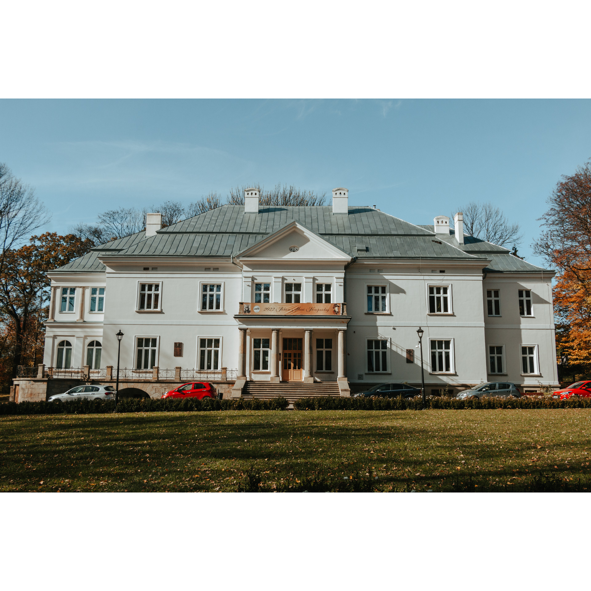
The town has a small market square, a remnant of its establishment at the turn of the 14th and 15th centuries. Unfortunately, it is now surrounded by 20th-century buildings. Leave the market square via Sienkiewicza Street and cross the bridge over the Jasiołka River, then turn right at the fork onto Manierskiego Street. Look for the signpost to Piotrówka and turn in the indicated direction. You will enter Chlebna, a village founded on Magdeburg law around the same time as the town. Cut through it and continue in the direction given by the main road, towards Łubno Szlacheckie. Next is Piotrówka, a small village with scattered buildings, followed by fields and a few groves, then Łubno Opace and Łubno Szlacheckie. Pass straight through the first village, passing the bus stop at the crossroads without turning there. This will take you to a manor house in a small park. The manor house is a well-maintained, typical Polish nobleman's residence—featuring functional attic space, symmetrical construction, and a front facade supported by several columns that shade the entrance and driveway. Exit the manor's grounds so that you leave the school on your left, and merge into traffic at the intersection near the bus stop by making a slight right turn. This will lead you to Łajsc. At the first intersection with a bus stop, follow the signpost to Łężyny and Nowy Żmigród. You will pass by a school and continue straight ahead, between fields and along the edge of one forest, then another. After the second forest, turn left near a relay tower. A pleasant descent will bring you to Świerchowa, where you will turn left onto regional road no. 992. You will stay on this road for only a few hundred meters before turning onto Osiek Jasielski. Stick to the main road for about 4 km, passing by buildings, a forest, and fields.
- 2Osiek Jasielski18.1 kmOsiek Jasielski
Crossing the bridge over the Wisłoka River, you will enter Osiek Jasielski. The establishment of this locality dates back to the mid-14th century and the reign of Casimir the Great, who chartered the town under Magdeburg law. A defensive castle was erected here, serving as an important element in the chain of Casimirian castles protecting the southern borders of then Poland. The remnants of the fortress are cellars on the hill. It is also worth visiting the wooden church from the 15th century, which was rebuilt two centuries later and repainted on the inside in the 19th century. Pass the fire station, keeping it on your left, and the old smithy on your right, then continue straight through the nearby roundabout. Turn left along with the road. You will pass the fences of the village of Czekaj, near a large chapel shrine founded in 1870 and extensively renovated. After 1.5 kilometres, you will reach Samoklęski.
- 3Samoklęski21.7 kmSamoklęski
Turn briefly to the right onto regional road no. 993, and then steer to the left according to the signpost for Mrukowa. Drive along this road through the buildings, passing the Volunteer Fire Brigade station (as well as the community centre) and a lantern shrine. Beyond the shrine, a magnificent view of the hills of the Low Beskids unfolds. As you leave the village, you may also notice a Neo-Gothic domestic chapel on the right side of the road. Then, along the Szczawa River, you will reach Mrukowa. Drive through this village on the main road, crossing the river with a small bridge at the end. Ahead of you is Brzezowa, the southernmost point of today's trip. Drive through the village and continue straight ahead. You will only turn left onto a bridge over the Wisłoka River. At this point, the river bends, displaying a swift current flowing over a rocky bottom. Staying on the left side at the junction, you will continue on regional road no. 992 in a general north-east direction. You are approaching Nowy Żmigród.
- 4Nowy Żmigród32.2 kmNowy Żmigród
This is one of the older localities in the Podkarpackie region, where traces of settlement have been found dating back to the 9th or 10th century. The development of the then town was so dynamic that it even had a town hall – a building that was both administrative and representative in nature. It served as a border town on the wide and imprecisely defined Polish-Hungarian border. This location also carried threats – for centuries, Żmigród was the object of numerous invasions. It suffered particularly during World War I, after which War Cemetery No. 8 remained with 214 burials, and World War II, during the battle for the Dukla Pass, when the wooden market buildings were burned. The current buildings are post-war, hence their lack of former charm, except for a single-storey small townhouse standing next to the church tower. However, it is worth visiting the church of St. Apostles Peter and Paul with its Gothic structure and Baroque interior. After passing the market square, continue straight, along the right bank of the river. You will pass a military cemetery and a Jewish cemetery, a memorial to the Jews of Żmigród who were murdered by the Germans. Using road no. 992, you will reach Troki. At the junction on the curve of the road, turn right. You will pass a community centre and drive straight ahead, continuing on your chosen route in Sadki. You will only turn left at the school in Nienaszów.
- 5Nienaszów38.1 kmNienaszów
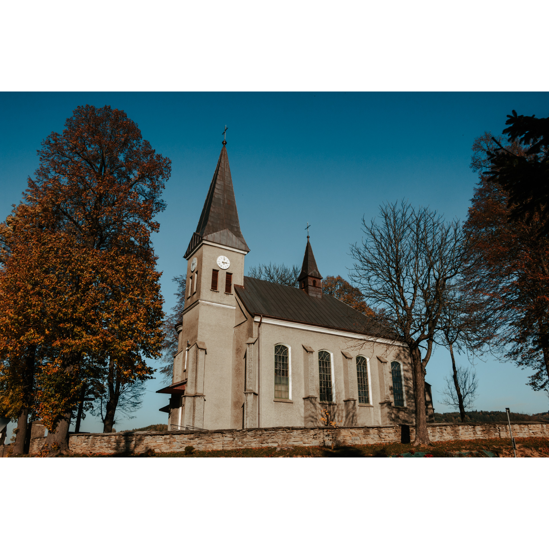
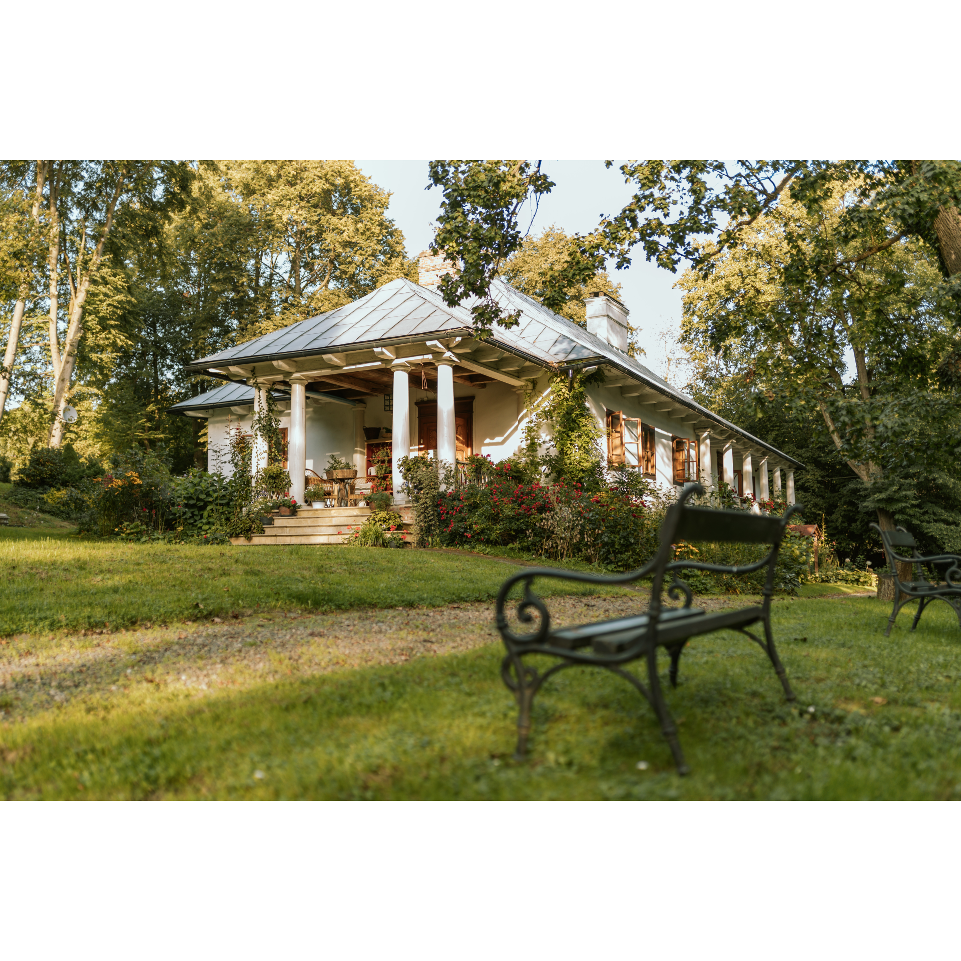
Like many other villages on today's route, Nienaszów is a medieval village from the 14th, and possibly 13th century, which serves as a testament to the colonisation efforts of Polish kings who granted numerous privileges in today's Podkarpackie region to their loyal servants and knights. Pass through the village straight ahead, and then do the same with Poraj. After Poraj, the road ascends slightly, leading through a small basin between forested hills. In Faliszówka, turn left at the school and with the church on your left-hand side, head north. The buildings smoothly transition into Kopytowa. Dating back to the 13th century, it is about 100 years older than Faliszówka. In this former noble village, you will find the Museum of Noble Culture in a restored 18th-century manor house built in the Polish style. The walls of the manor are white, and the interiors are furnished and equipped with the utmost care. Of interest is the enfilade arrangement of rooms, which form two parallel rows. Prominent figures from Polish history are commemorated here, and a manor kitchen has been recreated. It is definitely a place worth visiting. Continue through the next village, Podniebyle, driving along its eastern outskirts. Upon entering Poręby, stay on the main road, which curves widely to the left. At its end, turn right. You will pass through the already familiar Chlebna, and along Manierskiego and Sienkiewicza streets, you will reach the market square. Before the end of the trip, you may visit the nearby, imposing Neo-Gothic Church of St. Anthony of Padua.
- 6Jedlicze52 kmJedlicze
Your trip ends near the starting point.
Attractions near this route
Gallery
Check other routes


