Roztocze
To the “Źródła Tanwi” Nature Reserve
XML, 34.42kB
About this route
By choosing this loop, you are opting for a trip of a purely recreational nature. Along the way, you will encounter many picturesque Roztocze landscapes. It is an ideal route to become enchanted with this part of the country and the Podkarpacie region, full of charming places. And the main point of the trip, the Nature Reserve “Źródła Tanwi”, will allow you to get to know the rich flora of Roztocze.
Practical advices
A route with a moderate level of difficulty will allow you to test your fitness. Remember that the terrain has a huge impact on how many kilometres you can cover. Trails on flat roads are less strenuous than those on hills or mountain roads.
Planning a group trip? Match the route to the fitness of the weakest participant.
A helmet and light clothing made of breathable materials will be essential for safety and comfort on the route. Other than that, only put on the essentials. Heavy luggage will make your ride more difficult. Also, think about what you will carry the necessary items in. We suggest a backpack or panniers for your bike.
Be prepared for possible breakdowns on the route. It is a good idea to carry the most important tools for a quick fix, such as inner tubes or patches, a pump or a multi-tool. Make sure you have enough water and food, as well as navigation equipment.
Is it looking like a warm and sunny day? Remember sunscreen and sunglasses. If you are planning sightseeing or other activities along the route, a bike lock will also be very useful. Before you leave, carefully examine your route for the trip. Consider whether your skills and equipment are adequate for the level of difficulty of the route.
Discover Roztocze
Audiodeskrypcja tekstowa
Route details
Narol - Jędrzejówka - Dębiny - Huta-Złomy - Łówcza - NarolStart
- 1Narol0 kmNarol
Your tour starts in Narol. If you have arrived by car, you can leave it in the centre, by the market square. From here, head east towards the church in Lipsk. At the crossroads, turn right towards Jędrzejówka.
- 2Jędrzejówka2.6 kmJędrzejówka
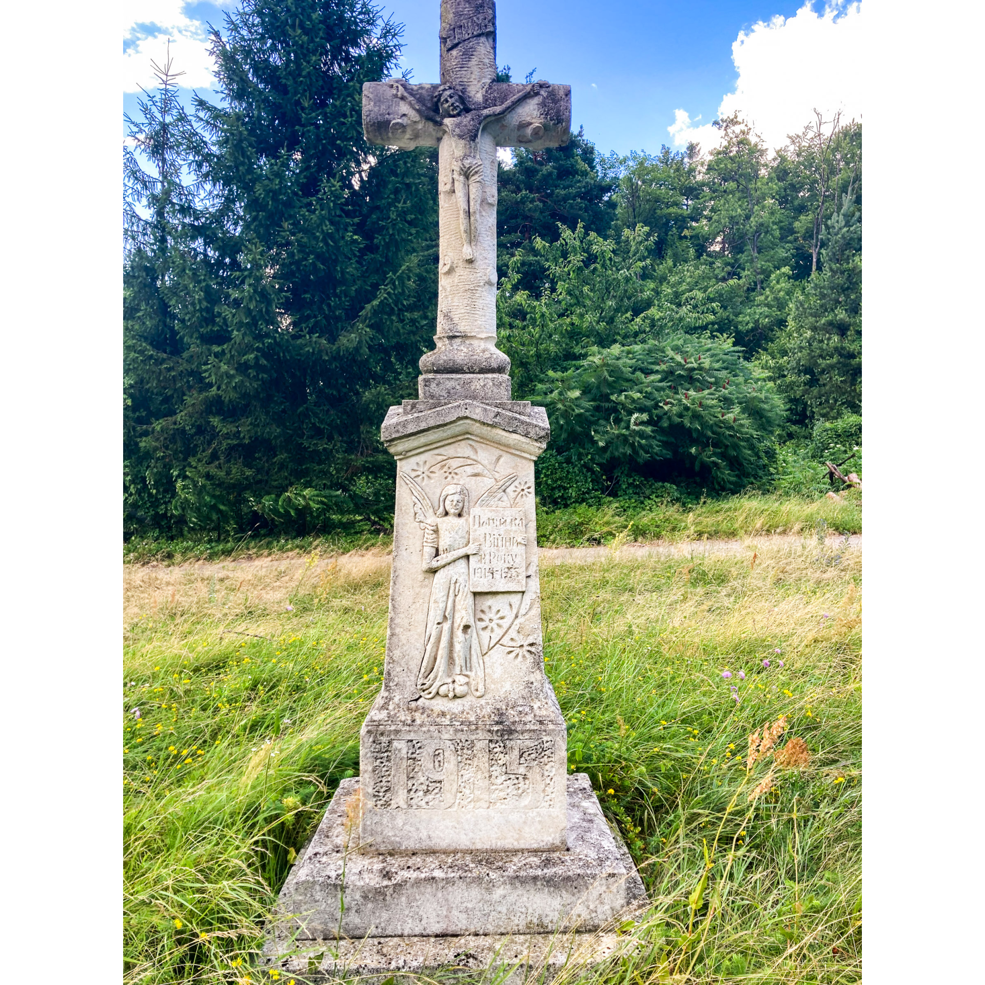
As you make your way along the route, you will come across the Brusno stone crosses that are an integral part of the Roztocze landscape. Follow the signposts of the East of Poland Cycling Trail Green Velo. This is how you will reach Huta-Złomy.
- 3Dębiny4.9 kmDębiny
It is a village with the hamlet of Trzy Kopce (Three Mounds), to which a folktale is linked. It says that in the past, the local mountain was the property of three knights. As each of them wanted to claim the whole area for himself, quarrels often arose. These eventually ended in a duel, as a result of which all three men died. Their subjects built a grave “mound”, for each of the knights. This is how the Trzy Kopce (Three Mounds) came into being.
- 4Huta-Złomy6.9 kmHuta-Złomy
To reach Huta-Złomy by following the signs of the East of Poland Cycling Trail Green Velo.
There, you will find a small chapel and a place to rest.
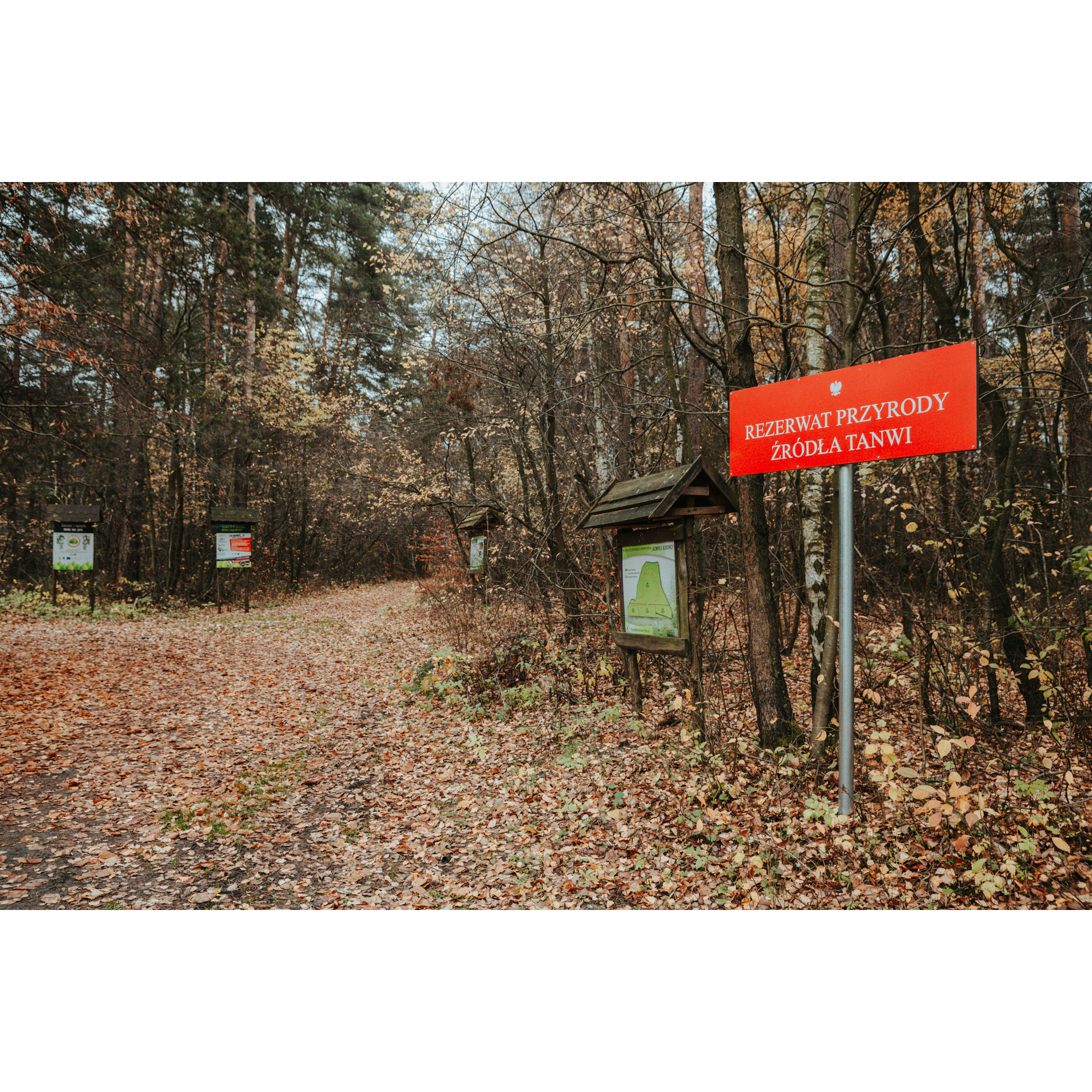
In front of you is also the ”Źródła Tanwi” Nature Reserve. A 2-kilometre-long nature trail called “Kobyle Jezioro” runs through its area. It features a footbridge built over a peat bog and information boards with interesting facts about the local nature.
The reserve includes the headwaters area of the Tanew River. Peat bogs and marsh vegetation complexes are protected here. More than 150 plant species (trees, shrubs, vascular plants and bryophytes) have been found here.
Continue along the blue bicycle trail.
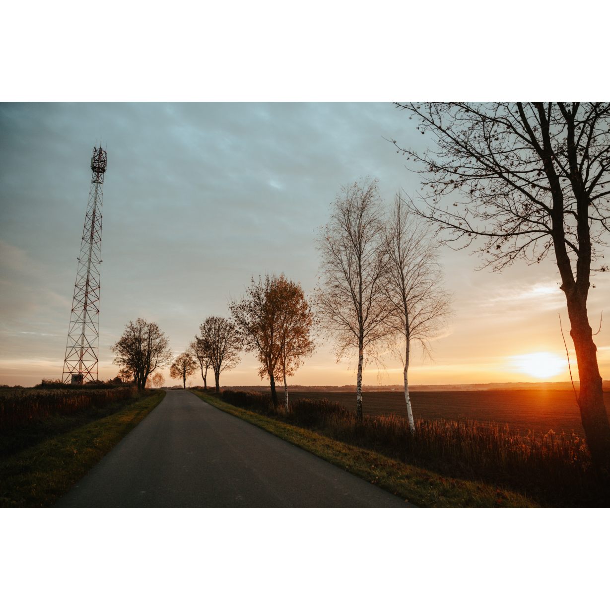
The most picturesque part of the route lies ahead of you. Here, the path leads through the open countryside, among fields, with sweeping views of the surrounding hills. When you turn around behind you, you will see Wielki Dział, one of the highest hills in Roztocze.
- 5Łówcza15.5 kmŁówcza
In Łówcza, the most valuable monument is the Tserkva complex, consisting of the tserkva of St. Paraskeva and a wooden bell tower. The church is situated in the valley of a deep stream. It is located behind the cemetery that is visible from the road.
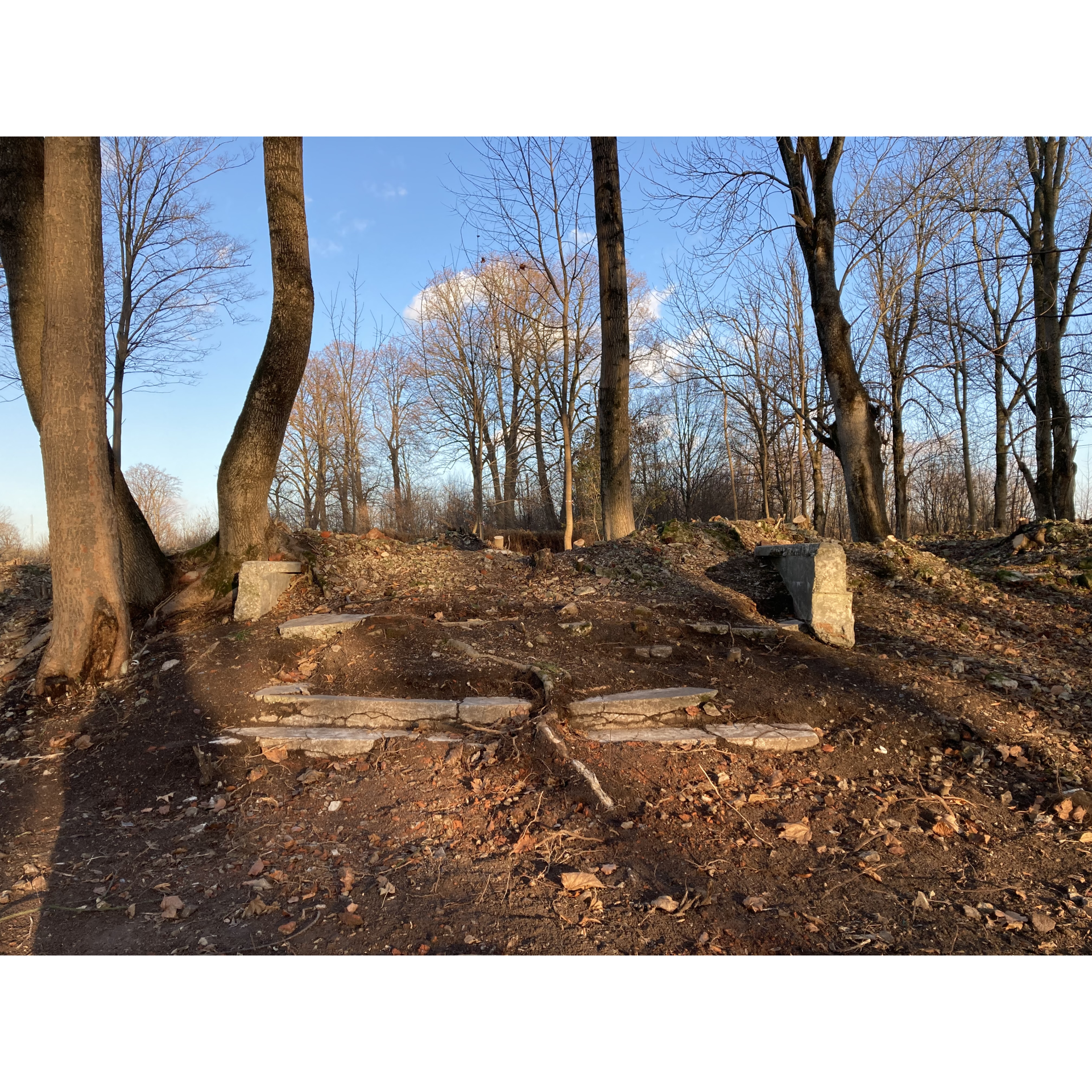
In the village, you will also find the cemetery chapel built in 1848 and the remains of an old manor complex in a slightly neglected park dating from the turn of the 18th and 19th centuries. The local surroundings are complemented by homesteads and wooden houses.
Further on, a ride with a delightful view awaits you, first on an asphalt road and then on a dirt road among fields.
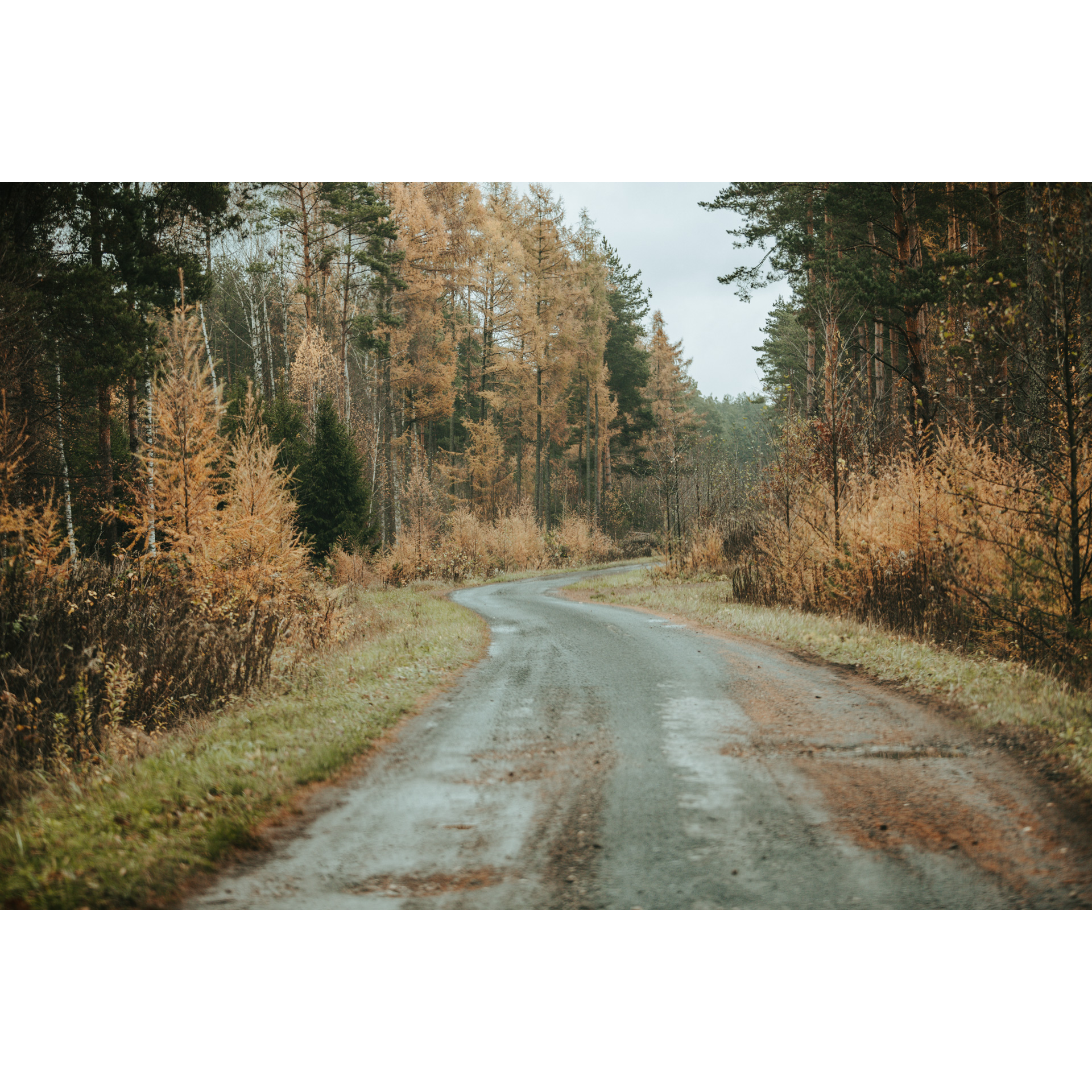
You will descend to Narol along a road leading through a forest. In some parts, the surface will be very sandy, which may cause difficulties, so be careful.
- 6Narol22.8 kmNarol
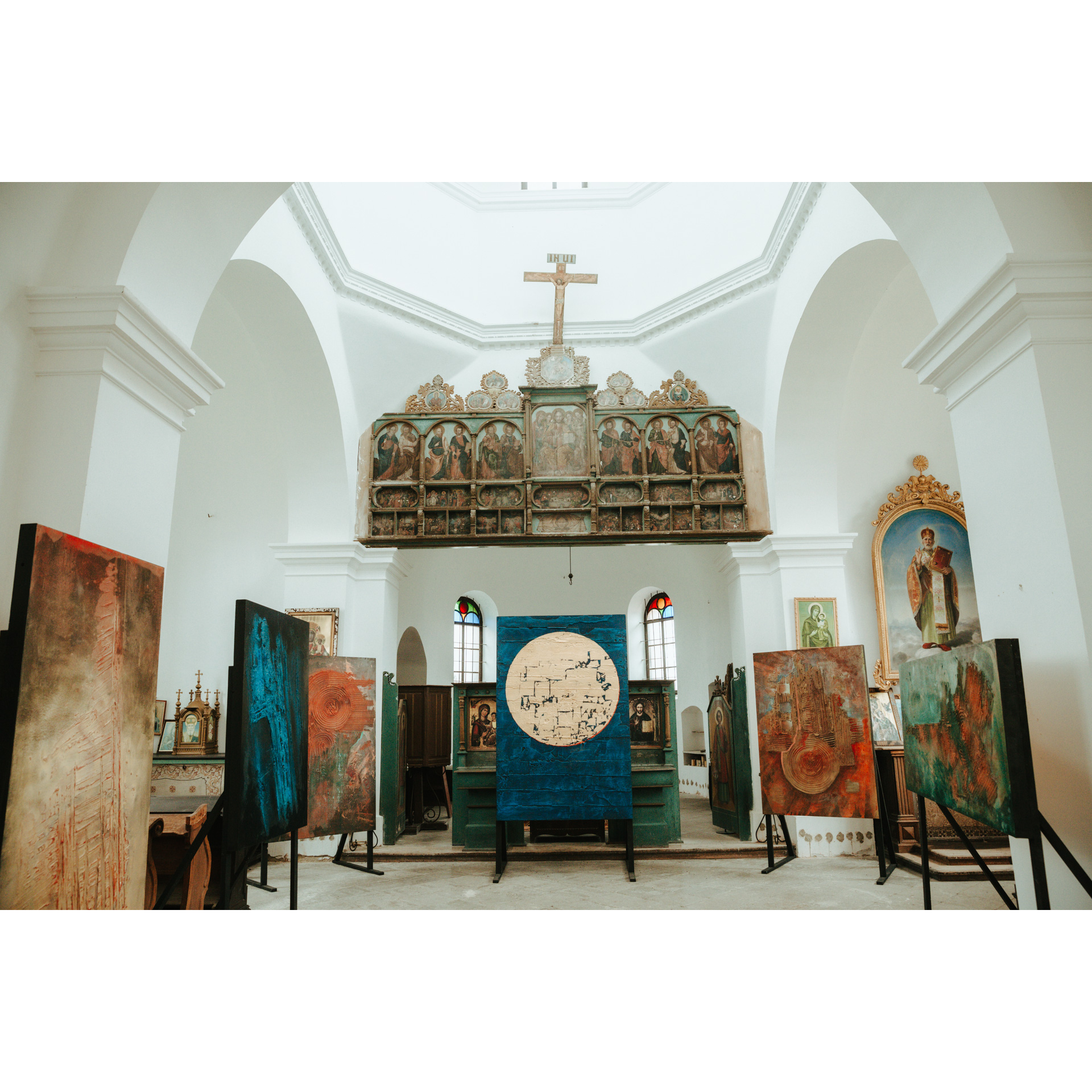
Before you reach the regional road no. 865, you will pass the renovated brick Tserkva of the Laying the Robes of the Most Holy Mother of God, now the Concert and Exhibition Centre, on your right.
It is a building from the early 20th century. Once a Greek Catholic temple, it is now used for cultural purposes. Among other things, it hosts the Arts of Narol festival, recognisable not only in the region.
It is only a little over a kilometre from the tserkva to the starting point.
Attractions near this route
Gallery
Check other routes


