Bieszczady
Paradise in Bieszczady Mountains
XML, 74.39kB
About this route
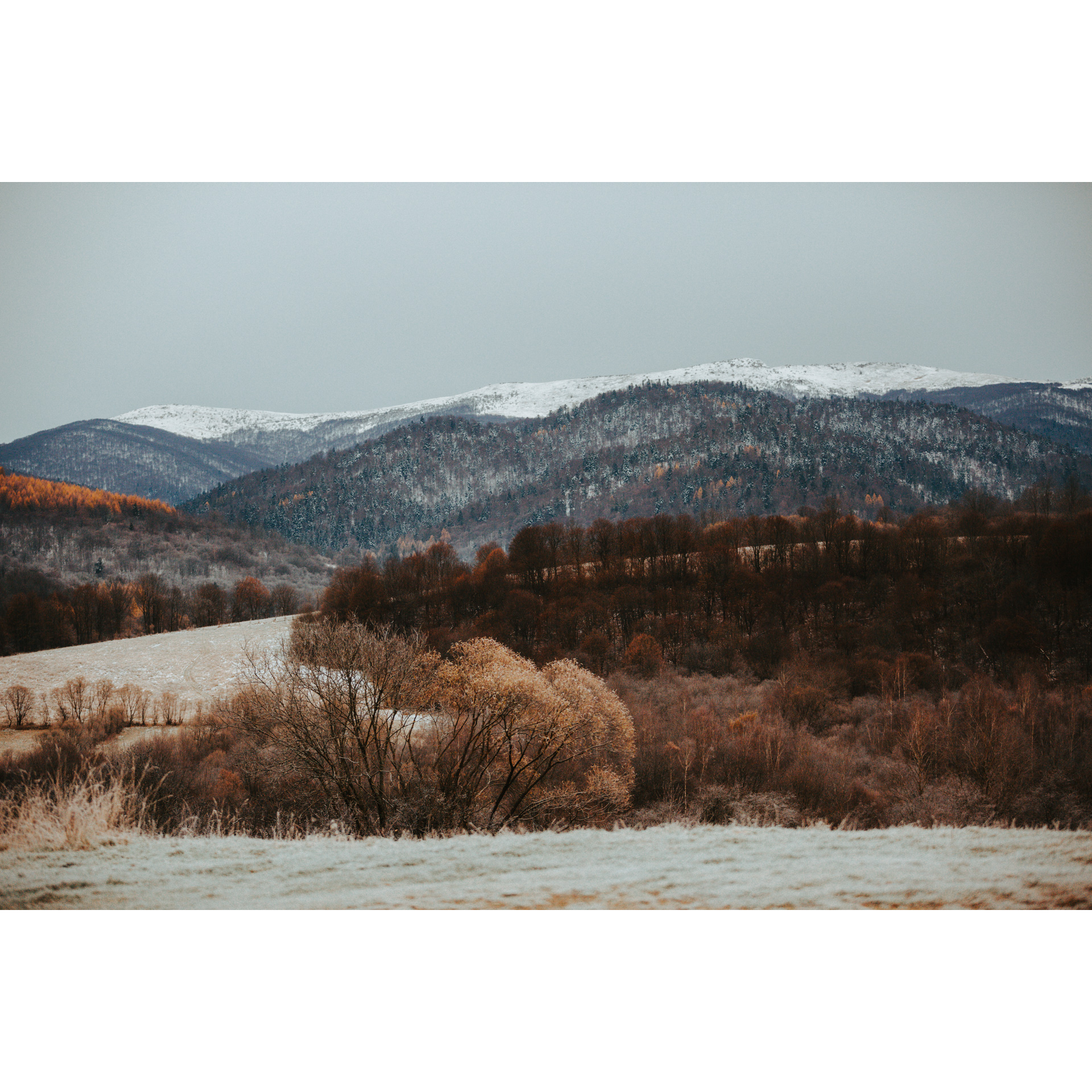
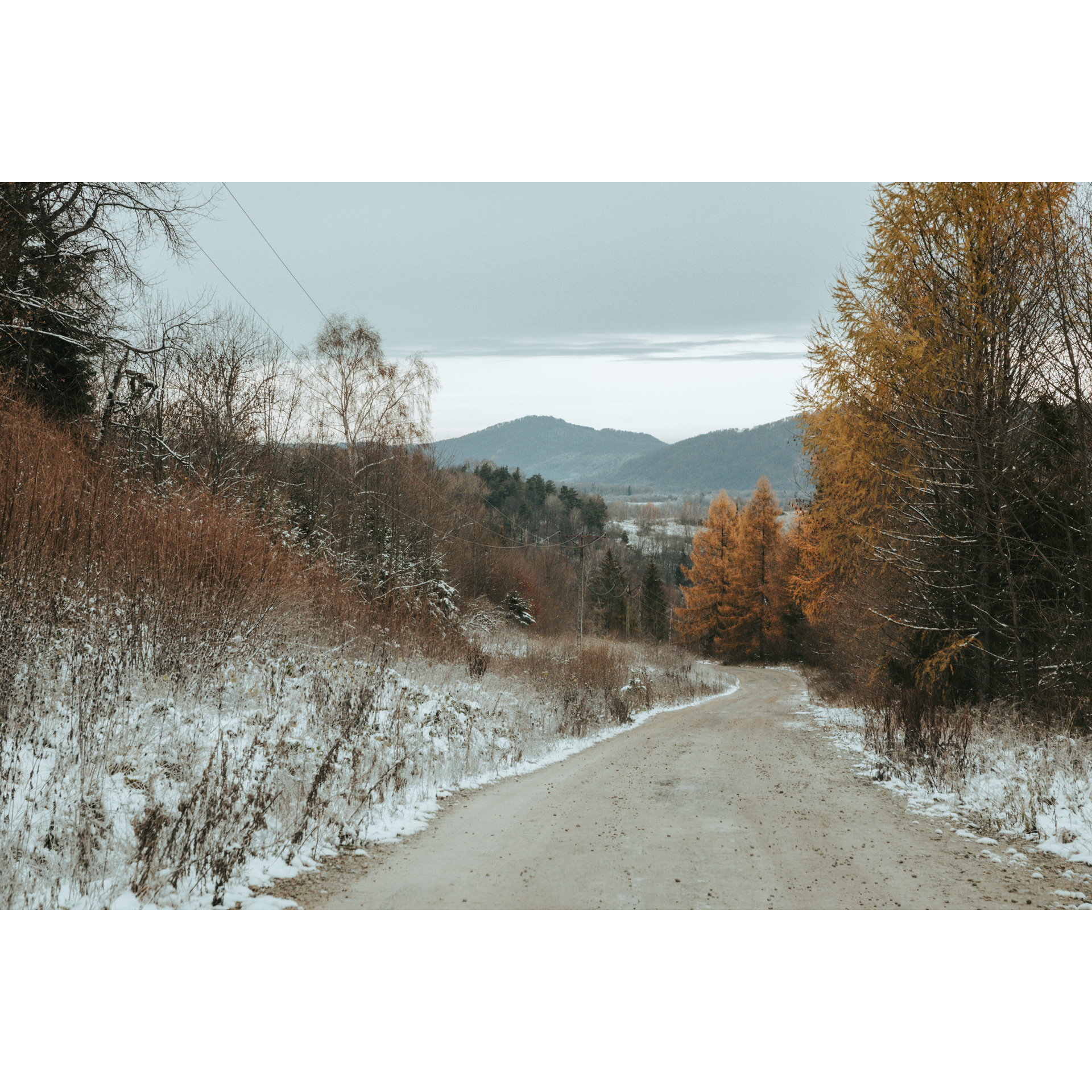
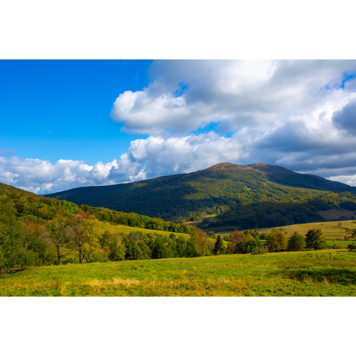
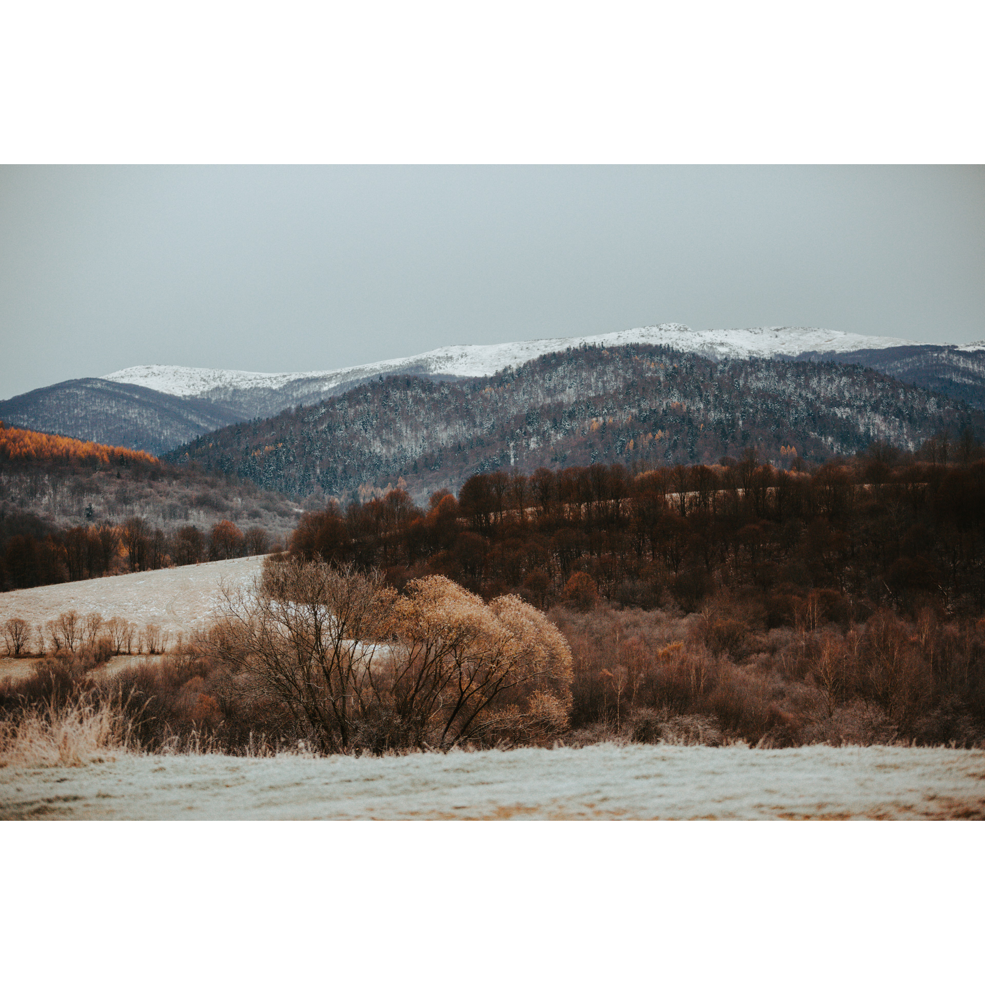
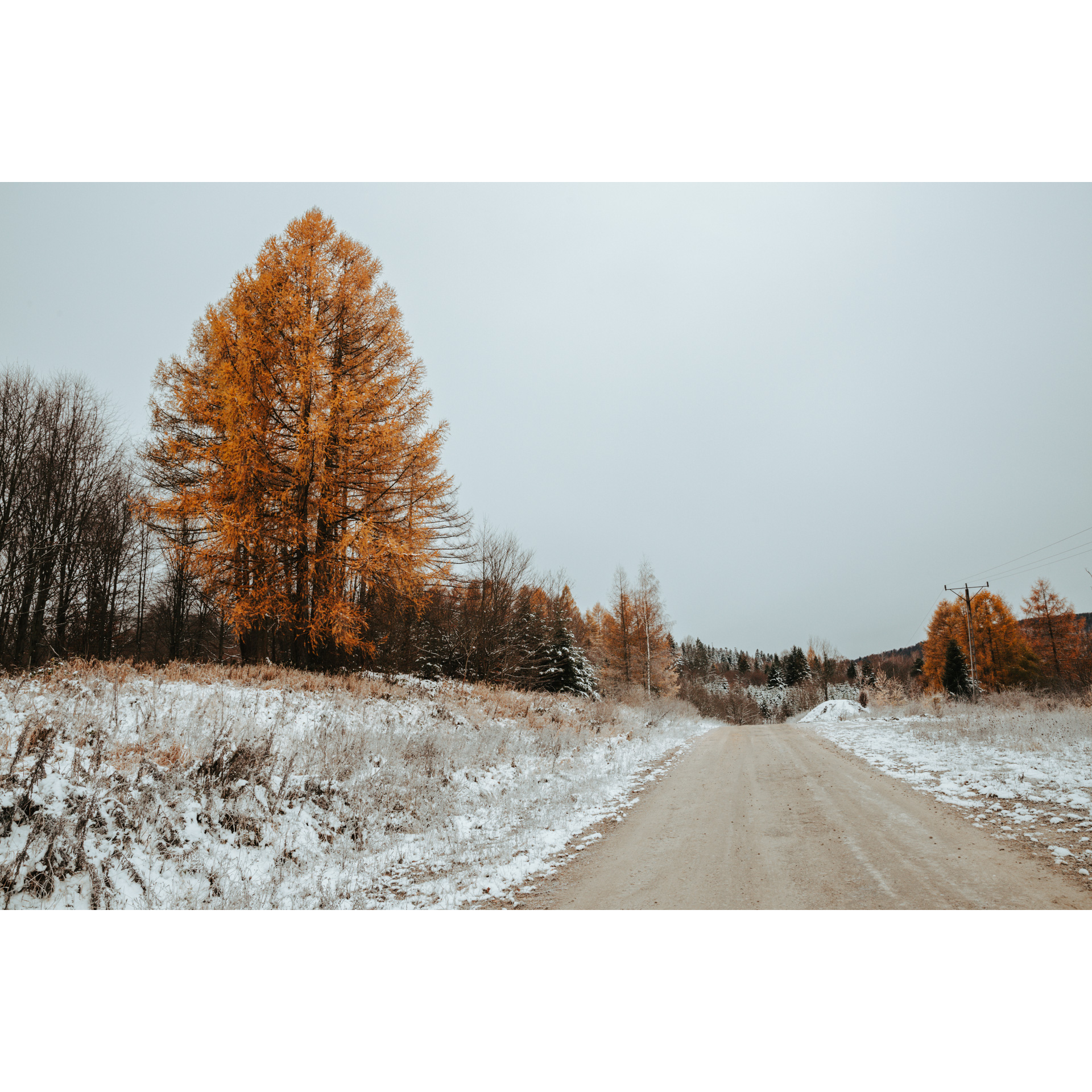
The route runs almost entirely through the forests of the Bieszczady Mountains. The journey begins in the picturesque village Rajskie, which is located in a place where the San river gives rise to Lake Solina. This small village is called by many “paradise valley”. Although the route is quite demanding, its name, which can be translated to “paradise” is no coincidence. The views along the route composite all the effort put into riding. The difficulty of this route is caused by ascent over 1000 m. Initially, the route goes along the regional road no. 894, before the road, turns into a forest gravel path.
Practical advices
When preparing for a route, be sure to check the weather forecast. This will allow you to take appropriate clothing and limit your luggage as much as possible. However, it is well known that the weather can be unpredictable, so be prepared if it gets worse. It is good practice to pack a thin rain jacket that does not take up much space.
Before starting the route, carefully analyse it on a map. Consider whether your skills and equipment are adequate for the level of difficulty of the route.
Download the accompanying .gpx file so that you always have your navigation at hand. To make sure your device doesn't fail you, also bring a power bank, charger or spare batteries. If the weather changes, you may find it useful to have a waterproof case for your electronic equipment.
Be sure to take drinks and food with you on long journeys; you never know when you will get hungry. Remember that a shop or restaurant may be located a long way away. We recommend that you stock up on water, isotonic drinks, energy bars and snacks. This will make sure you don't lose the motivation to continue riding.
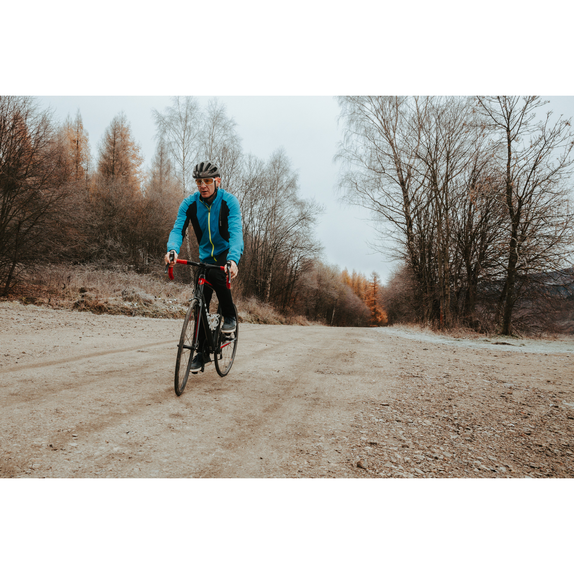
The absolute basis for safety is, of course, a helmet. Also, prepare yourself technically. Make sure you have adequate lighting on your bike. Pack a repair kit. Spare inner tubes, a pump, a multitool, all of these things can come in handy in the event of a breakdown, which of course you don't want!
Bieszczady
Audiodeskrypcja tekstowa
Route details
Rajskie - Pass under Otryt - Pass under Hulskie - Sękowiec - Nature Reserve „Krywe" - RajskieStart
- 1Rajskie0 kmRajskie
The route starts in the area of the intersection of a suburban paved road with regional road no. 894. Then following the Small Bieszczady Bypass towards Czarna. Rajskie is a village near Lake Solina, a water reservoir with the largest capacity in Poland (472 million m³).
- 2Pass under Otryt3.2 kmPass under Otryt
To get to the pass, you have to conquer along an uphill ride. Although very demanding, the views you will get to see will compensate for the hardship. Otryt is a mountain range in western Bieszczady. Its highest peak is Trohaniec. The pass under Otryt is located at an altitude of 550 m.a.s.l. Once you are on the pass, turn right. To get to the next point, follow the blue bike trail for about 7 km to the crossing with the shed. Then turn left and head towards the village of Hulskie.
- 3Pass under Hulskie12.6 kmPass under Hulskie
The pass is located near the nature reserve “Hulskie im. Stefana Myczkowskiego”, which is the habitat of large mammals, predators and birds. Bears, wolves, lynxes and eagles all live here. The reserve area protects nearly 200 ha of mountain and sub-mountain forests on the slopes of Otryt. Hornbeam stands of forest and a mountainous complex of Carpathian beech forests are protected here. The reserve was established in 1983 and offers free admission. Hulskie is a non-existent village between Zatwarnica and Krywe. The height of the pass is 785 m.a.s.l. Continue the route along the blue bike trail.
- 4Sękowiec18.5 kmSękowiec
From Sękowiec you can enjoy wonderful views of Bieszczady’s highland. You can find a place for a short rest here. The small village was incorporated into Zatwarnica in 2002. Follow the signs of the blue bike trail toward the village of Krywe.
- 5Nature Reserve “Krywe”27.2 kmNature Reserve “Krywe”
Nature reserve “Krywe” has been created in 1991 and it is the largest in the Polish part of the Bieszczady mountains. It is a picturesque area where the San meanders between exposed slopes of the hills. You may see snakes and lizards here, and if you are lucky, you might even catch a glimpse of a rare species of Aesculapian snake. You will also find an observation point here. Follow the gravel road to regional road no. 894, where your journey began.
- 6Rajskie33.4 kmRajskie
At the end of the route, there will be a few ascends and descends waiting. Rajskie offers many accommodations and agrotourism. It is a great place to stay for a few days and discover Bieszczady better.
Attractions near this route
Gallery

Check other routes


