The Low Beskid
Around the Nature Reserve Stone over Rzepedź
XML, 73.24kB
About this route
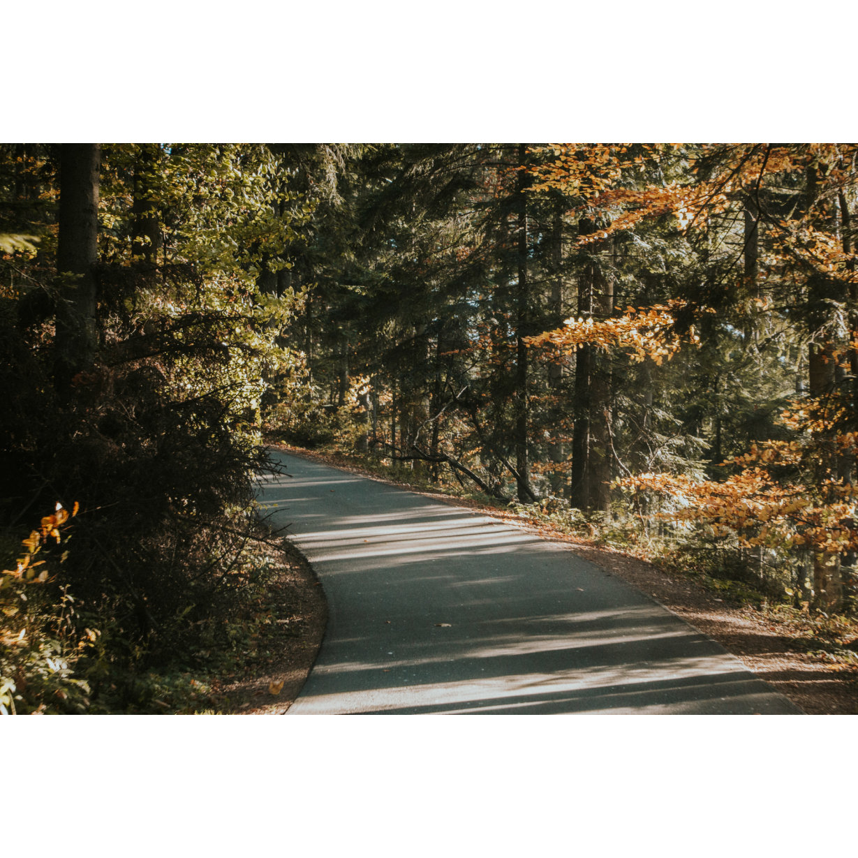
Although the route is not long, it is definitely challenging. Through forest tracks, mountain passes and riding over rocky riverbeds of rushing rivers, you will traverse a section of the Low Beskids, perhaps questioning your stamina. Will you measure up?
Practical advices
When preparing for a route, be sure to check the weather forecast. This will allow you to take appropriate clothing and limit your luggage as much as possible. However, it is well known that the weather can be unpredictable, so be prepared if it gets worse. It is good practice to pack a thin rain jacket that does not take up much space.
Before starting the route, carefully analyse it on a map. Consider whether your skills and equipment are adequate for the level of difficulty of the route.
Download the accompanying .gpx file so that you always have your navigation at hand. To make sure your device doesn't fail you, also bring a power bank, charger or spare batteries. If the weather changes, you may find it useful to have a waterproof case for your electronic equipment.
Be sure to take drinks and food with you on long journeys; you never know when you will get hungry. Remember that a shop or restaurant may be located a long way away. We recommend that you stock up on water, isotonic drinks, energy bars and snacks. This will make sure you don't lose the motivation to continue riding.
The absolute basis for safety is, of course, a helmet. Also, prepare yourself technically. Make sure you have adequate lighting on your bike. Pack a repair kit. Spare inner tubes, a pump, a multitool, all of these things can come in handy in the event of a breakdown, which of course you don't want!
Beskid Niski
Audiodeskrypcja tekstowa
Route details
Wisłok Wielki – Komańcza – Karlików – Wisłok WielkiStart
- 1Wisłok Wielki0 kmWisłok Wielki
As a starting point, choose Wisłok Wielki. It is a village in the middle of the Beskids Mountains, which can boast a well-kept Uniate church dedicated to St. Onuphrius. Car access is possible here via regional road no. 987 from Jaśliska. From the church, head south on regional road no. 987. You will cover the next 3 km among scattered village buildings, crossing over the narrow Wisłok river at this point. Along the way, a few hundred metres past the school, you will come across an old Lemko cemetery; it is worth visiting this place. After about 2.5 km, you will reach the first buildings of Czystogarb, and after a few minutes you will enter the village centre. Stick to the road you are travelling south on, which will take you between the forest-covered hills to the western outskirts of Komańcza.
- 2Komańcza12 kmKomańcza
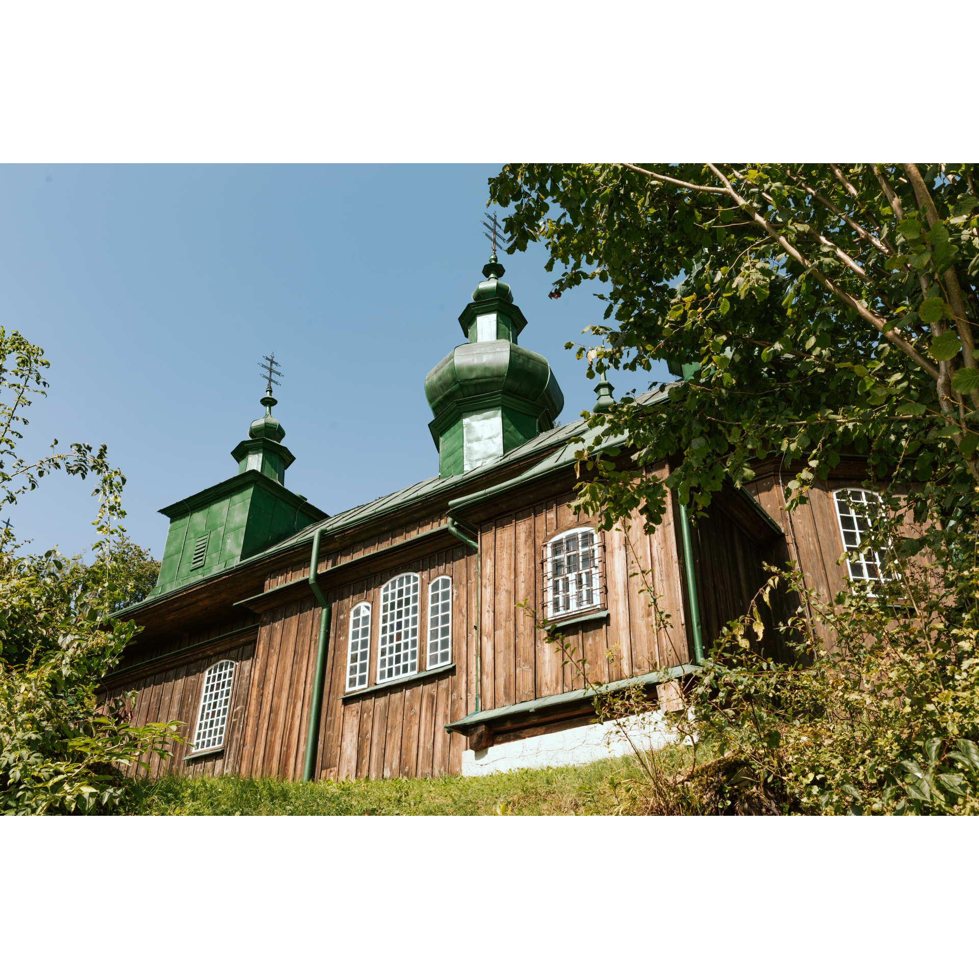
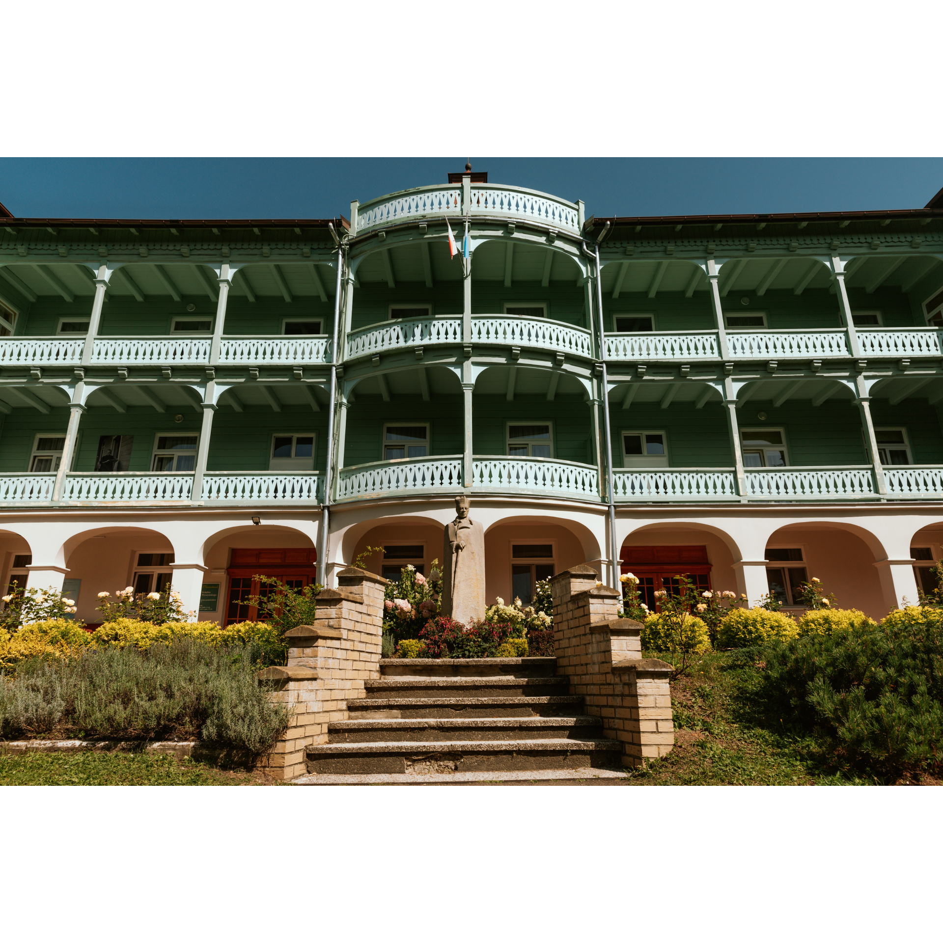
A mandatory stop here is the church of the Protection of the Mother of God, richly equipped with domes and with a stunning interior. After the railway tracks, turn left onto regional road no. 892. In the village, you will also find an interesting Roman Catholic church in the style of wooden Neo-Gothic, as well as numerous murals and icons. If Komańcza can be associated with anything, it is with the internment of Cardinal Stefan Wyszyński, who spent a year there between October 1955 and October 1956 in the Convent of the Sisters of Nazareth. Heading north, you will pass Jawornik and reach Rzepedź. Interesting places here include: the narrow-gauge railway station, a wooden bridge over the Osława river, and the church complex dedicated to St. Michael the Archangel. Also, spending time by the rushing streams of Osława or Osławica is a good idea. Stay on regional road no. 892. In Szczawne, it is worth stopping at the Greek Catholic church of the Dormition of the Mother of God. After the Volunteer Fire Department station, turn left onto regional road no. 889. You will be travelling north on a road that runs right next to Osława. After passing a chapel from 1919, continue straight to reach Płonna. There you will find the ruins of the church dedicated to the Holy Virgin Mary and a perfectly preserved parawan-style bell tower.
- 3Karlików38 kmKarlików
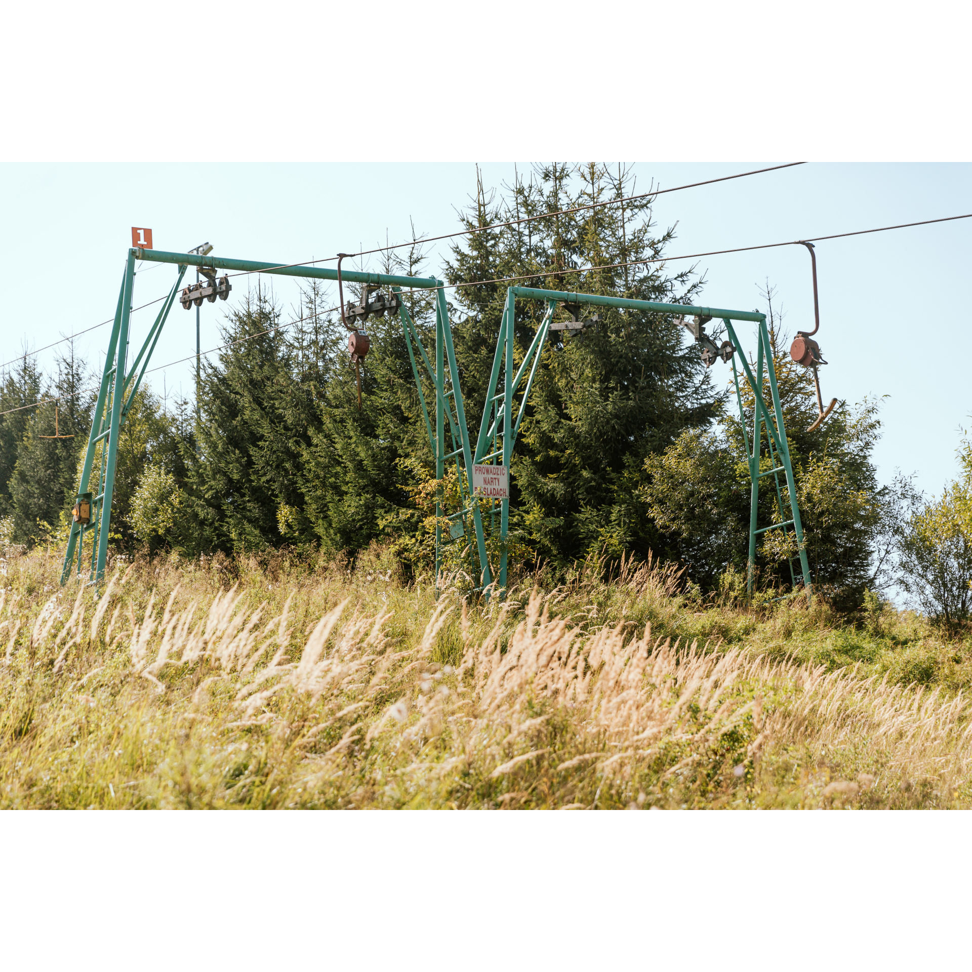
The next village is Karlików, with a Greek Catholic cemetery. Turn left off regional road no. 889 at the intersection in the village and head south. You will pass a former prison and a ski lift, and after 700 metres, you will turn right onto a field road along the red hiking trail. Through the valley between the hills, you will reach the non-existent village of Tokarnia and eventually to the pass. Make a sharp left turn. Stick to the wide track for 2.6 km. Drive carefully, as the road can be treacherous. When the forest ends, you will reach Wisłok Wielki.
- 4Wisłok Wielki45 kmWisłok Wielki
Your trip ends near the starting point.
Attractions near this route
Gallery
Check other routes


