Bieszczady
Loop of Baligród
XML, 48.15kB
About this route
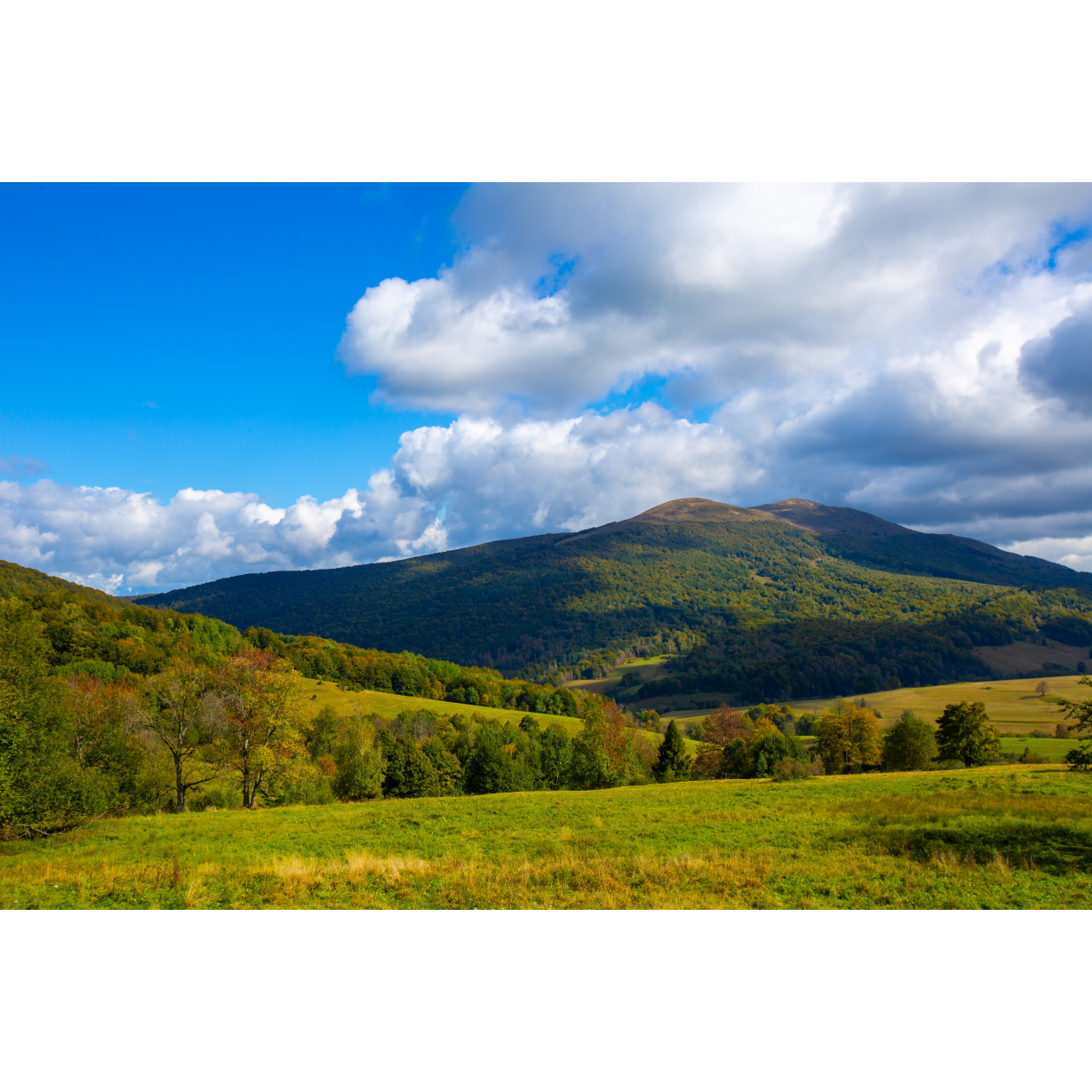
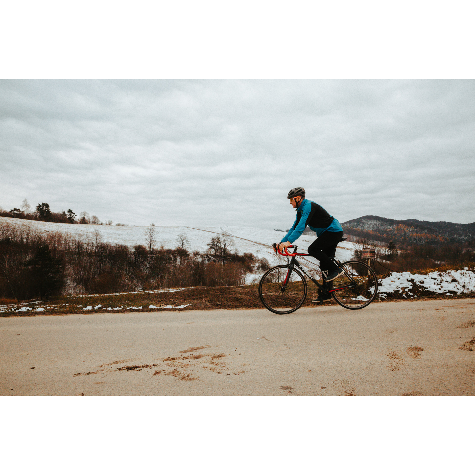
This route begins and ends in one of the most popular Bieszczady villages - Baligród. It runs entirely along bicycle trails, through deserted valleys. At individual stages of the route, you will come in contact with not only interesting nature but also the historical locations of this region.
Practical advices
When preparing for a route, be sure to check the weather forecast. This will allow you to take appropriate clothing and limit your luggage as much as possible. However, it is well known that the weather can be unpredictable, so be prepared if it gets worse. It is good practice to pack a thin rain jacket that does not take up much space.
Before starting the route, carefully analyse it on a map. Consider whether your skills and equipment are adequate for the level of difficulty of the route.
Download the accompanying .gpx file so that you always have your navigation at hand. To make sure your device doesn't fail you, also bring a power bank, charger or spare batteries. If the weather changes, you may find it useful to have a waterproof case for your electronic equipment.
Be sure to take drinks and food with you on long journeys; you never know when you will get hungry. Remember that a shop or restaurant may be located a long way away. We recommend that you stock up on water, isotonic drinks, energy bars and snacks. This will make sure you don't lose the motivation to continue riding.
The absolute basis for safety is, of course, a helmet. Also, prepare yourself technically. Make sure you have adequate lighting on your bike. Pack a repair kit. Spare inner tubes, a pump, a multitool, all of these things can come in handy in the event of a breakdown, which of course you don't want!
Bieszczady
Audiodeskrypcja tekstowa
Route details
Baligród - Mchawa - Roztoki Dolne - Kiełczawa - Pass under Gabrów Wierch - Kalnica - Huczwice - Bystre - BaligródStart
- 1Baligród0 kmBaligród
This is where your journey begins, from the very centre of Baligród, the market square. In its vicinity, you will find several attractions worth seeing, even before the start of the route.
- 2Brick Tserkva0 kmBrick Tserkva
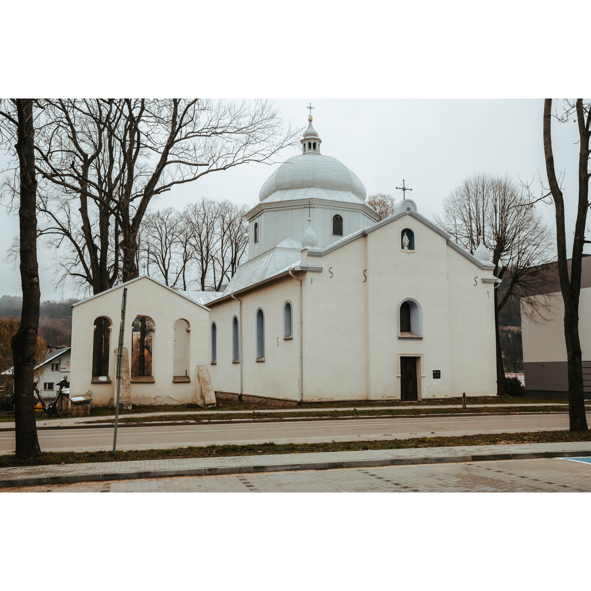
In Baligród, there is a brick Uniate tserkva from 1835. It was founded by Wincent Karszynicki, who owned the town at the time. Previously, there was an older wooden structure on this site. The church was destroyed and robbed. However, was not rebuilt until the 21st century.
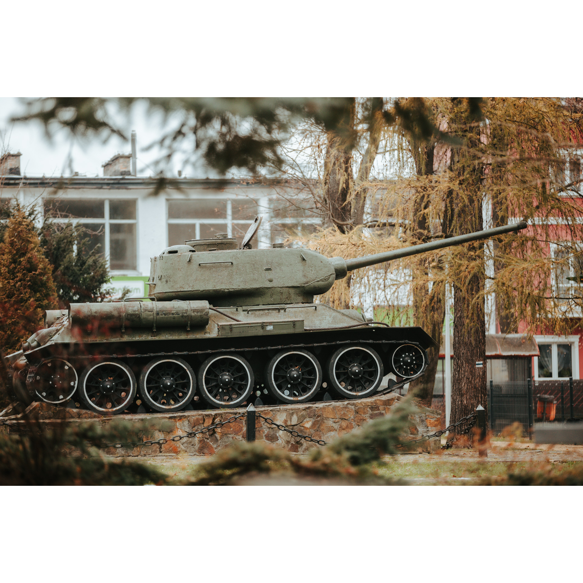
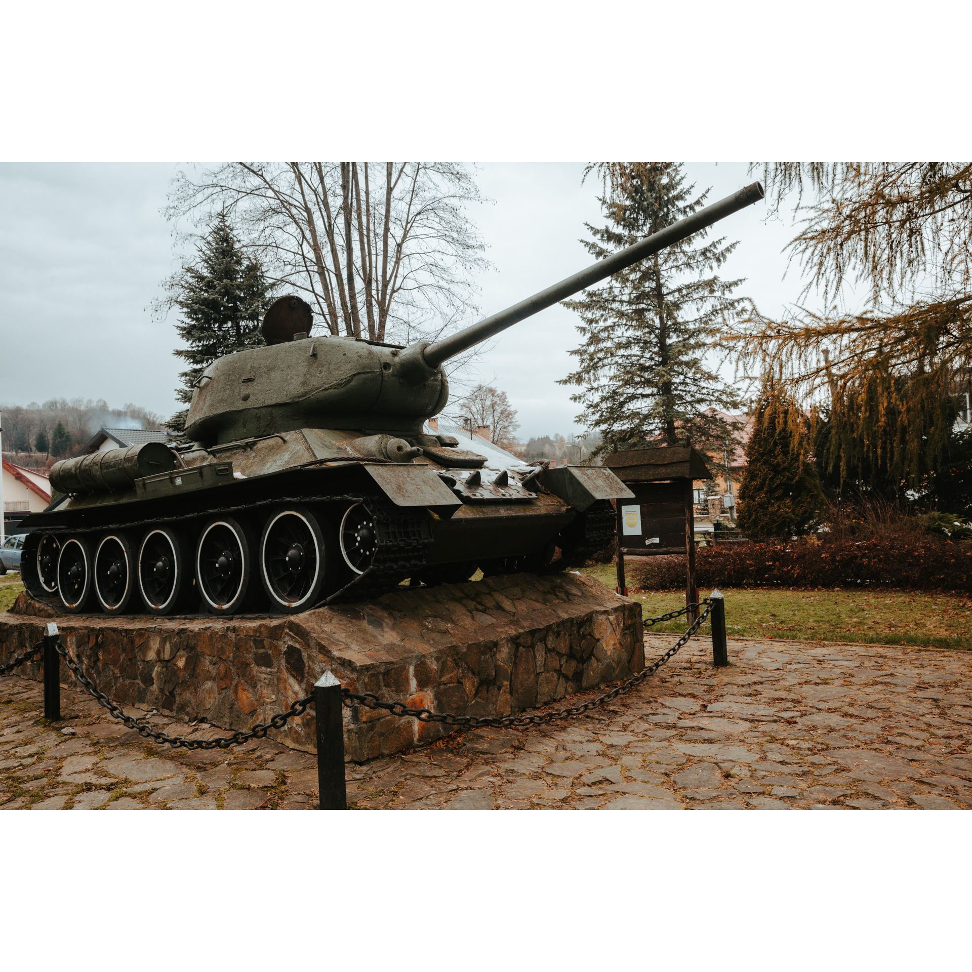
- 3T-34 tank in Baligród0 kmT-34 tank in Baligród
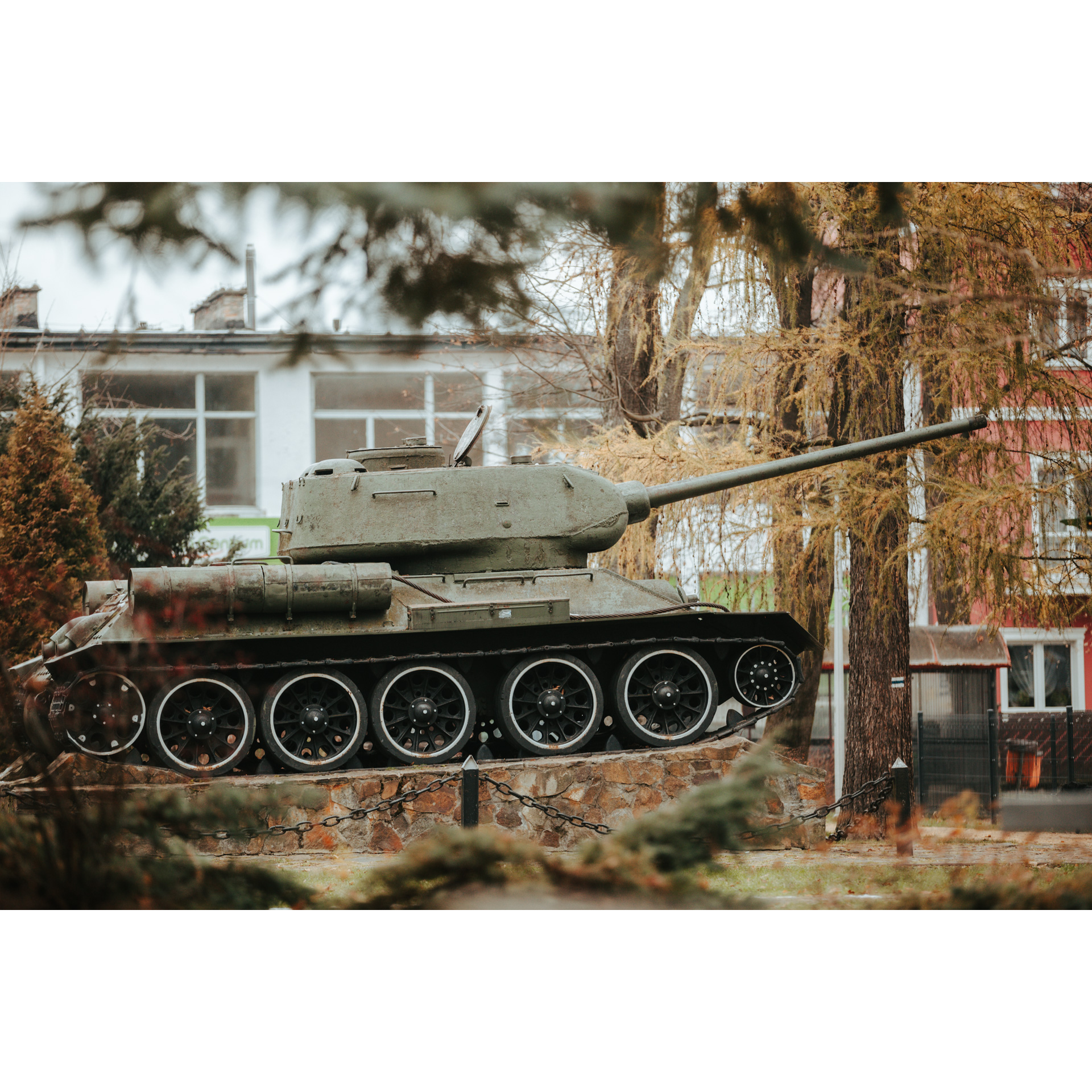
Another suggestion to visit in Baligród, is the tank commemorated the battles with Ukrainian partisans that took place in the Bieszczady Mountains. Initially, a T-70 lightweight tank was placed here, which participated and was damaged in the fight against the partisan. However, it was transferred to the Armored Weaponry Museum in Poznań. In its place, the current exhibit was placed.
- 4War cemetery1 kmWar cemetery
The cemetery is located at the drive out of Baligród in the direction of Lesko. It is a place, where both Polish and Soviet soldiers, who took part in the fights for the liberation of the Bieszczady Mountains, were buried. It is the resting place for 5127 soldiers.
Now follow regional road no. 893 towards Mchawa, and after 3 km turn left, you will see a signpost "Kiełczawa 3".
- 5Mchawa2.4 kmMchawa
Follow the blue trail along the Mchawka stream.
- 6Roztoki Dolne6 kmRoztoki Dolne
Continue along the blue trail. Along the way, you will pass several agro-tourism farms.
- 7Kiełczawa6.8 kmKiełczawa
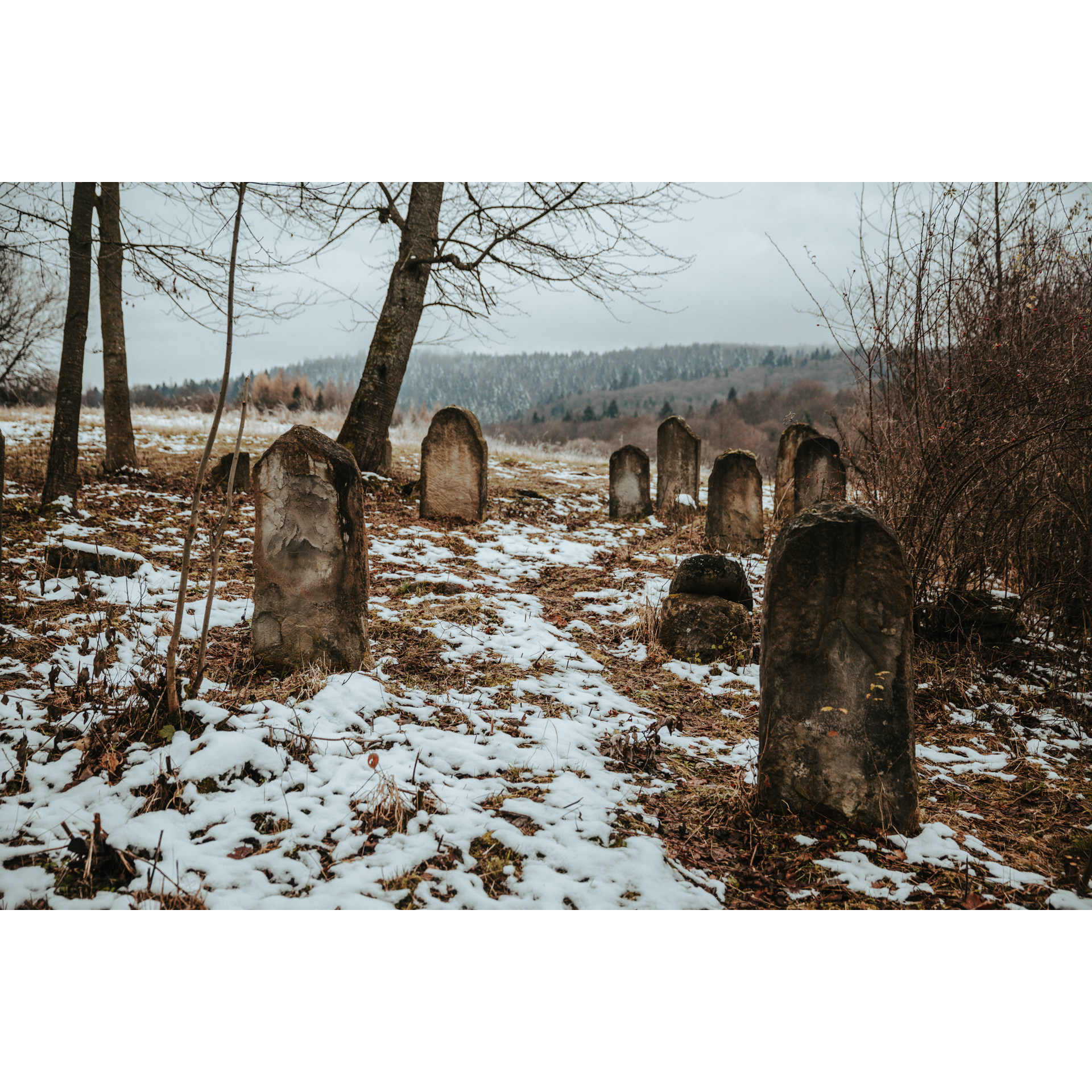
This small village used to be home to a cemetery and the place where the Greek Catholic Tserkva of Archangel Michael used to be. It is located right along the route. Follow the road as it leads to the pass.
- 8Pass under Gabrów Wierch8 kmPass under Gabrów Wierch
The only well-visible panorama on this route is at this point. It portrays the ascents of the Bieszczady Foothills, the ranges of Chryszczata and Wołosanie, Durna and Łopiennik, as well as the Połoniny in the Bieszczady National Park. It is also an excellent place to rest. Continue along the road until you reach Kalnica.
- 9Kalnica10 kmKalnica
There are two natural monuments in Kalnica. The first is a pedunculate oak called "Szumny", with a trunk circumference of 698 cm. The second natural landmark is a sycamore tree on the opposite side of the road. Take a left. You will continue on the blue trail as you travel along the gravel road through the former village of Sukowate.
- 10Huczwice - Bobrowe (Beaver) Lake16.4 kmHuczwice - Bobrowe (Beaver) Lake
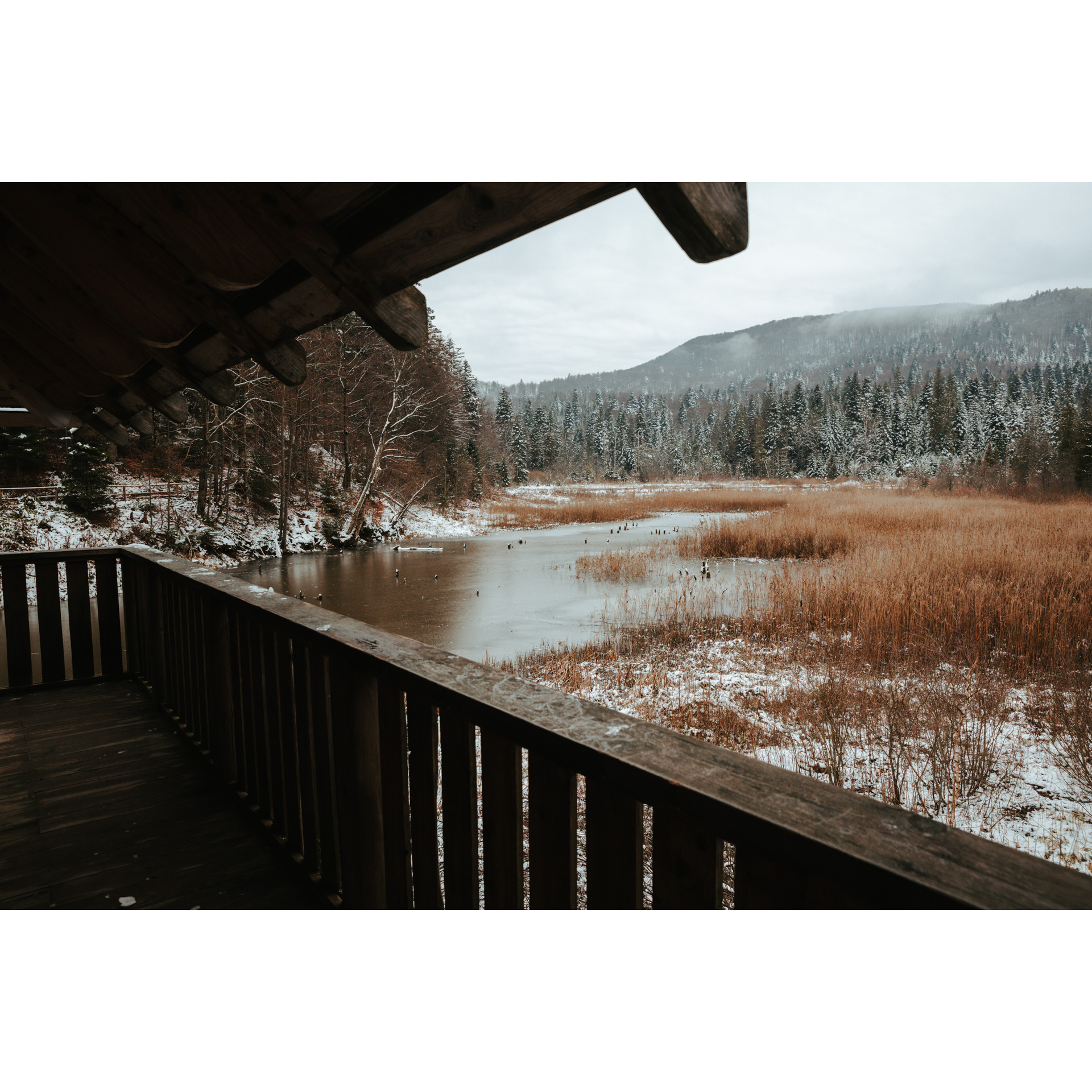
Despite its name, the floodplain was not created by beavers but by the creation of a dam on the stream. It is, however, their residence. Near the lake is a wooden hunting chapel. It is also a resting place with a shelter and a viewing platform. Follow the blue cycle trail through the now-defunct village of Huczwice to the next point. Turn left at the crossroads, where the "Huczwice" summer student accommodation stands.
- 11The Reserve Gołoborze21 kmThe Reserve Gołoborze
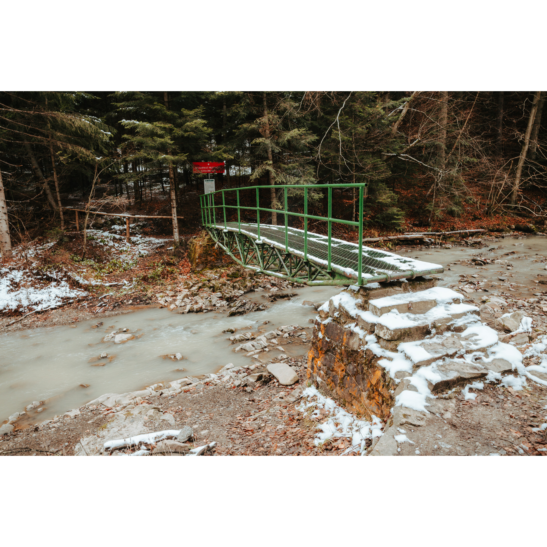
The reserve is located near the deserted village of Rabe. Here you can admire the alluring nature of the Bieszczady forests. A quarry and mineral springs are not far from the road. Head for the village of Bystre.
- 12Bystre23.8 kmBystre
Turn left when you reach regional road no. 893. An obelisk honouring Aleksander Fredro can be found here. Then drive about 2.5 kilometres to Baligród.
- 13Baligród26.3 kmBaligród
The route ends in the centre of Baligród.
Attractions near this route
Gallery

Check other routes


