Rzeszów and its surroundings
The wilderness around Błażowa
XML, 38.83kB
About this route
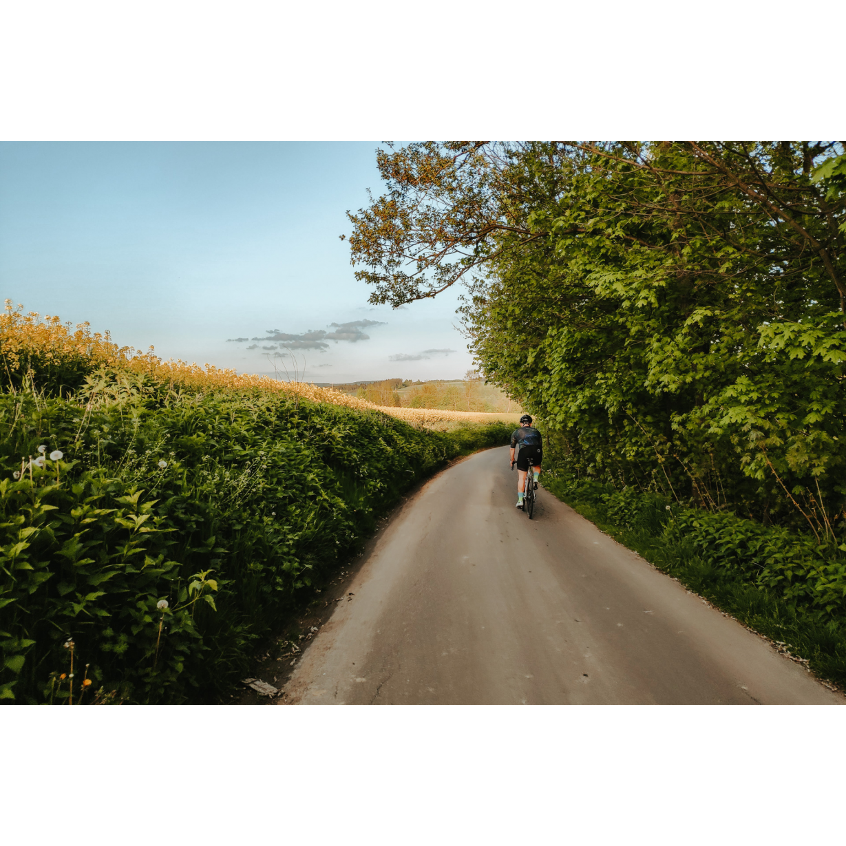
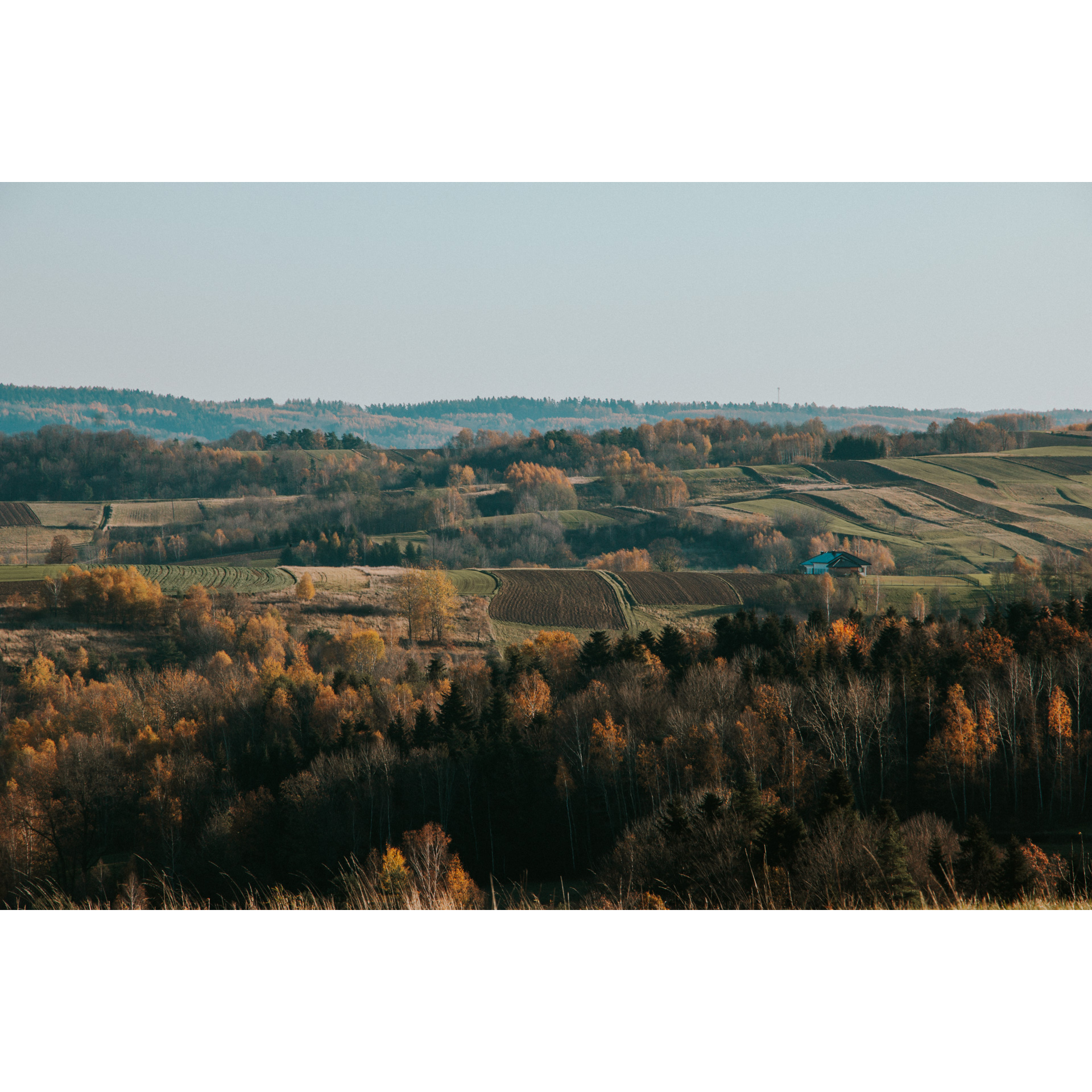
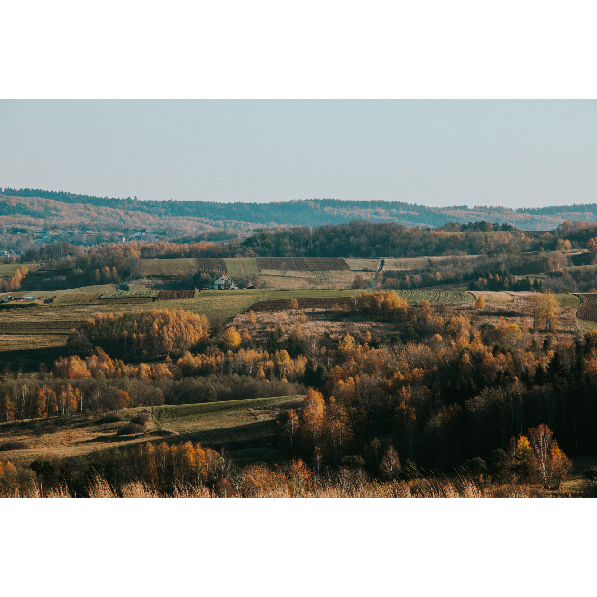
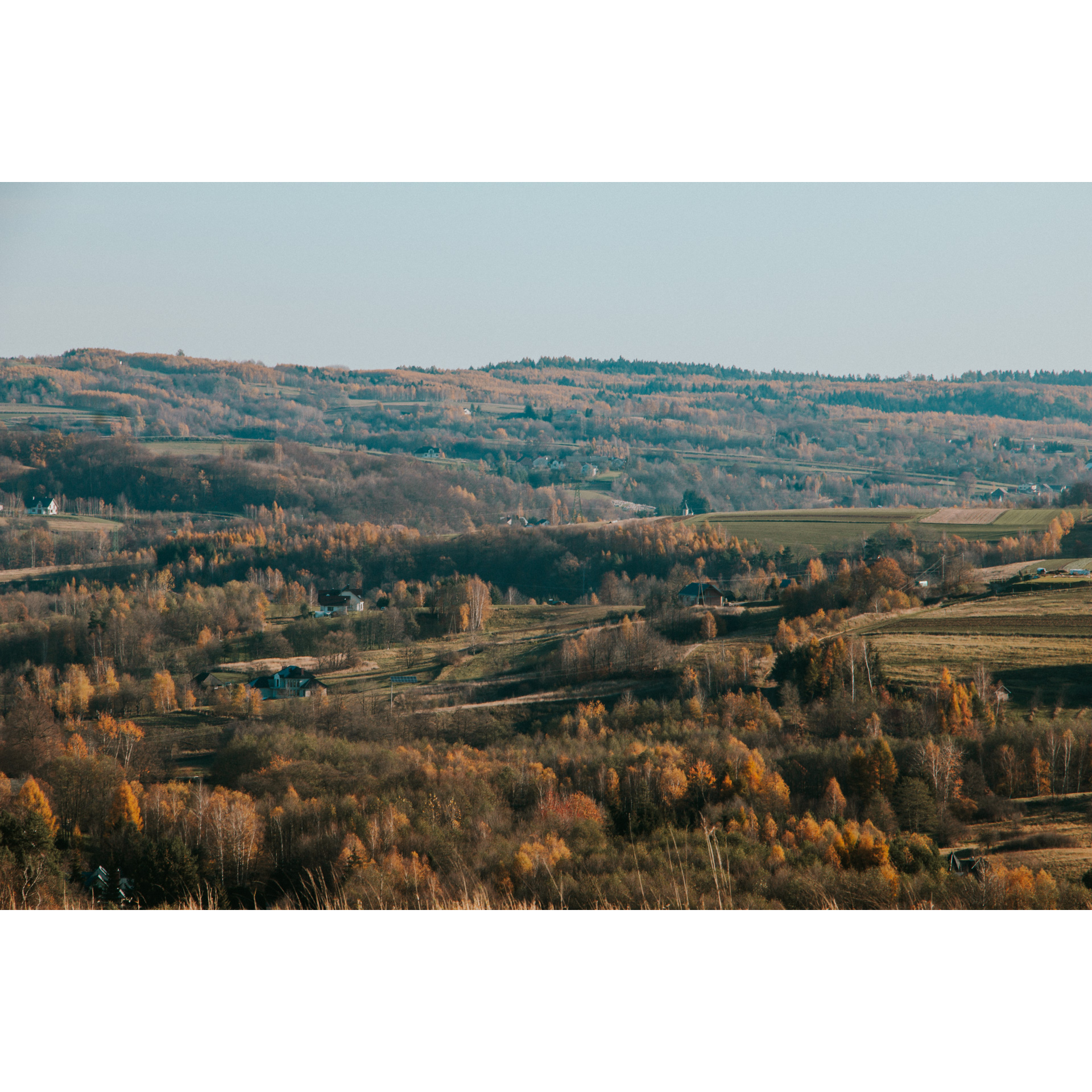
This is a short and rather easy route that leads through the hills around Błażowa, which are part of the Dynowsko-Strzyżowski Foothills. This is a rather desolate area, although much of it has been converted to agriculture. You will encounter only a few villages along the way, and for the rest of the route your company will be birds, insects, still life and silence. You will encounter mostly asphalt roads, but for a few kilometres, you will travel along field and forest tracks.
Practical advices
A route with a moderate level of difficulty will allow you to test your fitness. Remember that the terrain has a huge impact on how many kilometres you can cover. Trails on flat roads are less strenuous than those on hills or mountain roads.
Planning a group trip? Match the route to the fitness of the weakest participant.
A helmet and light clothing made of breathable materials will be essential for safety and comfort on the route. Other than that, only put on the essentials. Heavy luggage will make your ride more difficult. Also, think about what you will carry the necessary items in. We suggest a backpack or panniers for your bike.
Be prepared for possible breakdowns on the route. It is a good idea to carry the most important tools for a quick fix, such as inner tubes or patches, a pump or a multi-tool. Make sure you have enough water and food, as well as navigation equipment.
Is it looking like a warm and sunny day? Remember sunscreen and sunglasses. If you are planning sightseeing or other activities along the route, a bike lock will also be very useful. Before you leave, carefully examine your route for the trip. Consider whether your skills and equipment are adequate for the level of difficulty of the route.
Rzeszów and its surroundings
Audiodeskrypcja tekstowa
Route details
Błażowa – Łazek - BłażowaStart
- 1Błażowa0 kmBłażowa
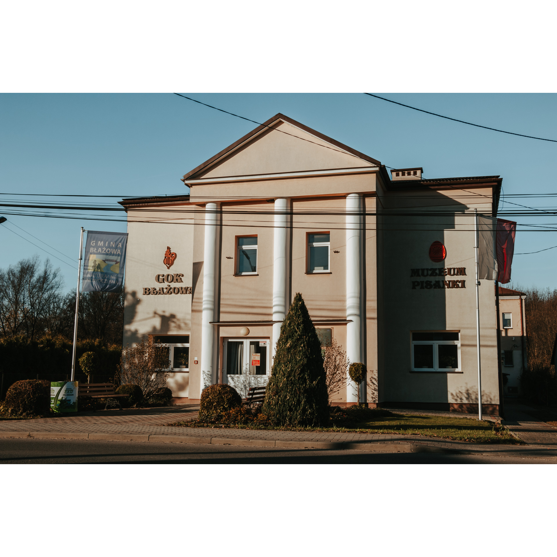
Błażowa is an interesting but typical Galician town with a church on the main square and low-rise buildings surrounding it. It used to be a market place, but nowadays it allows you to relax and the buildings around it have been turned into government offices. The Neo-Gothic Church of St Martin is a great place to start your tour. Before you set off, look out for the beautifully crafted portico in rough stone and the rosette above the main entrance. The interior is also Neo-Gothic, with a wood-carved altarpiece and polychromes. The arches of the arcades separating the main and side aisles are supported by columns with Ionic heads, while on the first floor you will notice false windows with pilasters. In the town, you can still visit the Easter Egg Museum in the Cultural Centre, where eggs painted in various styles and techniques are on display. From the church, set off in a south-westerly direction along 3 Maja Street. Stay on it. After crossing the bridge over Piątkowa, turn right in front of the brick cottage chapel. Driving through Futoma, stop at the Statue of St John of Nepomuk. You will pass the Neo-Romanesque Church of St Valentine, the school and the fire station. Continue along the main road. When you reach the junction with the regional road no. 884, turn right. You can also turn left and drive to the top of Ostry Dział (421 m).
- 2Łazek12 kmŁazek
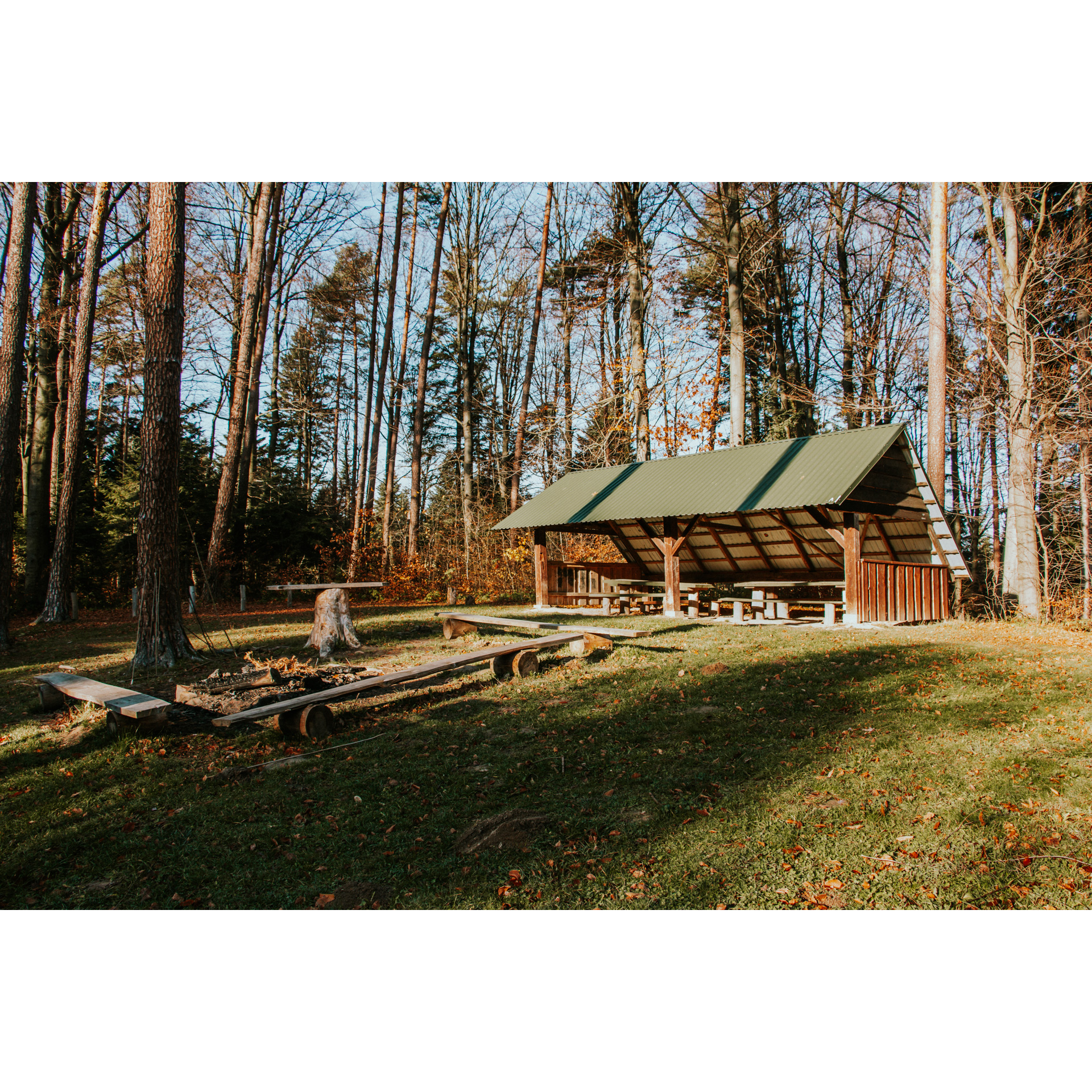
Past the village, you will cut through a small forest with a car park and rest area. Turn right in front of the fire station in Wyręby and go uphill. Follow the dirt track into the forest. You will pass the Błędny Kamień (Eerroneous Stone), a natural monument that is a reminder of the geological changes that took place here over 500 million years ago. Its name comes from the legend that it causes hikers to lose their way. Then ride ahead and don't lose your way! You will pass the Mójka Nature Reserve, which protects the Carpathian fir and beech forest. It takes 2 to 3 hours to walk one of the 2 trails marked out there. When you reach the asphalt road, turn left and after 500 m turn right. You will leave by the buildings of the Kąkolówka Forestry. Nearby you can rest at a vantage point that offers a view of Błażowa and the surrounding hills. Go down the hill and turn left into 3 Maja Street. You know it. It will take you to the starting point near the Church of St Martin
- 3Błażowa19.5 kmBłażowa
Your trip ends at the starting point.
Attractions near this route
Gallery
Check other routes


