San and Vistula Valley
In the valleys along the San River
XML, 2.59MB
About this route
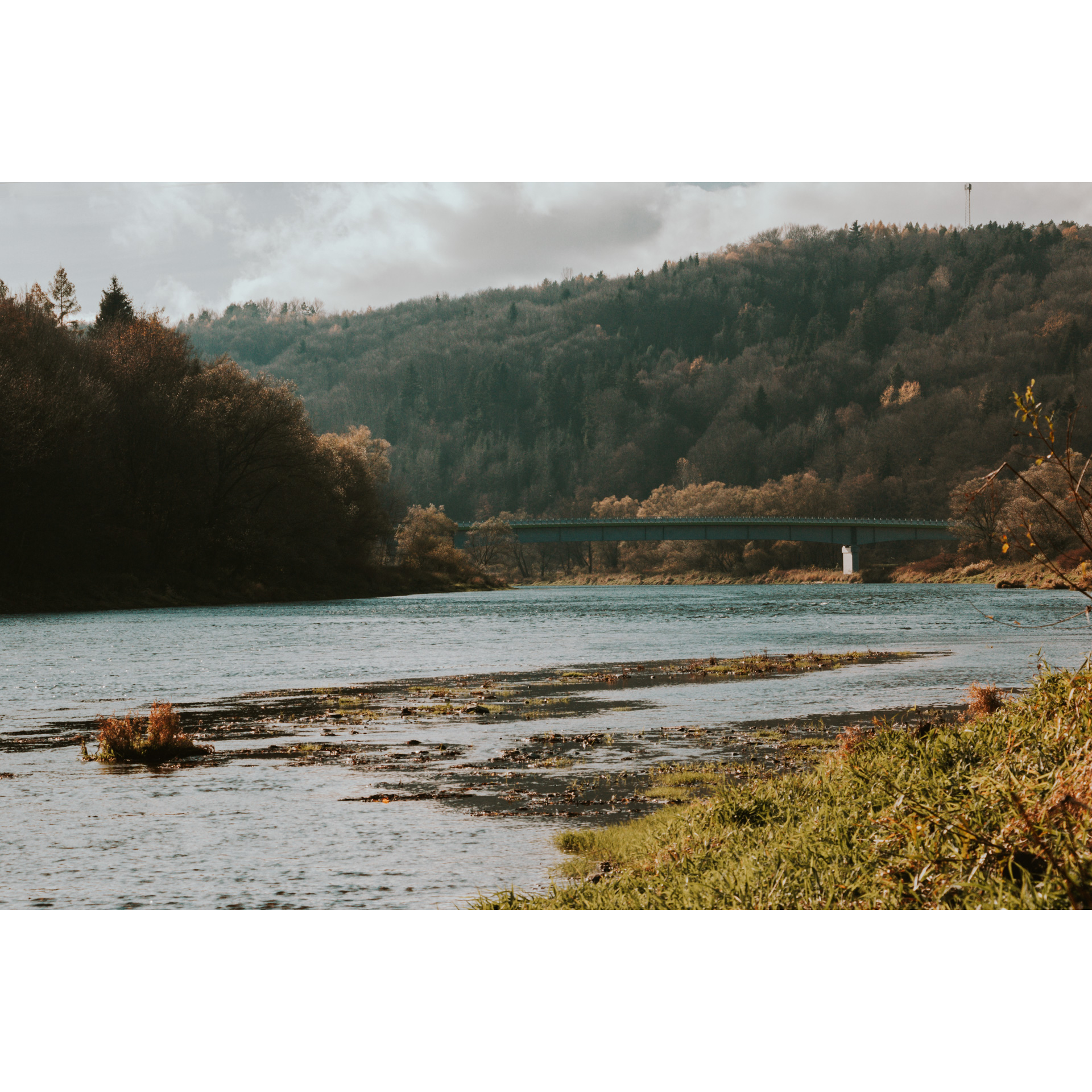
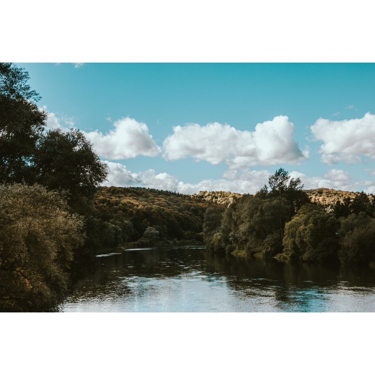
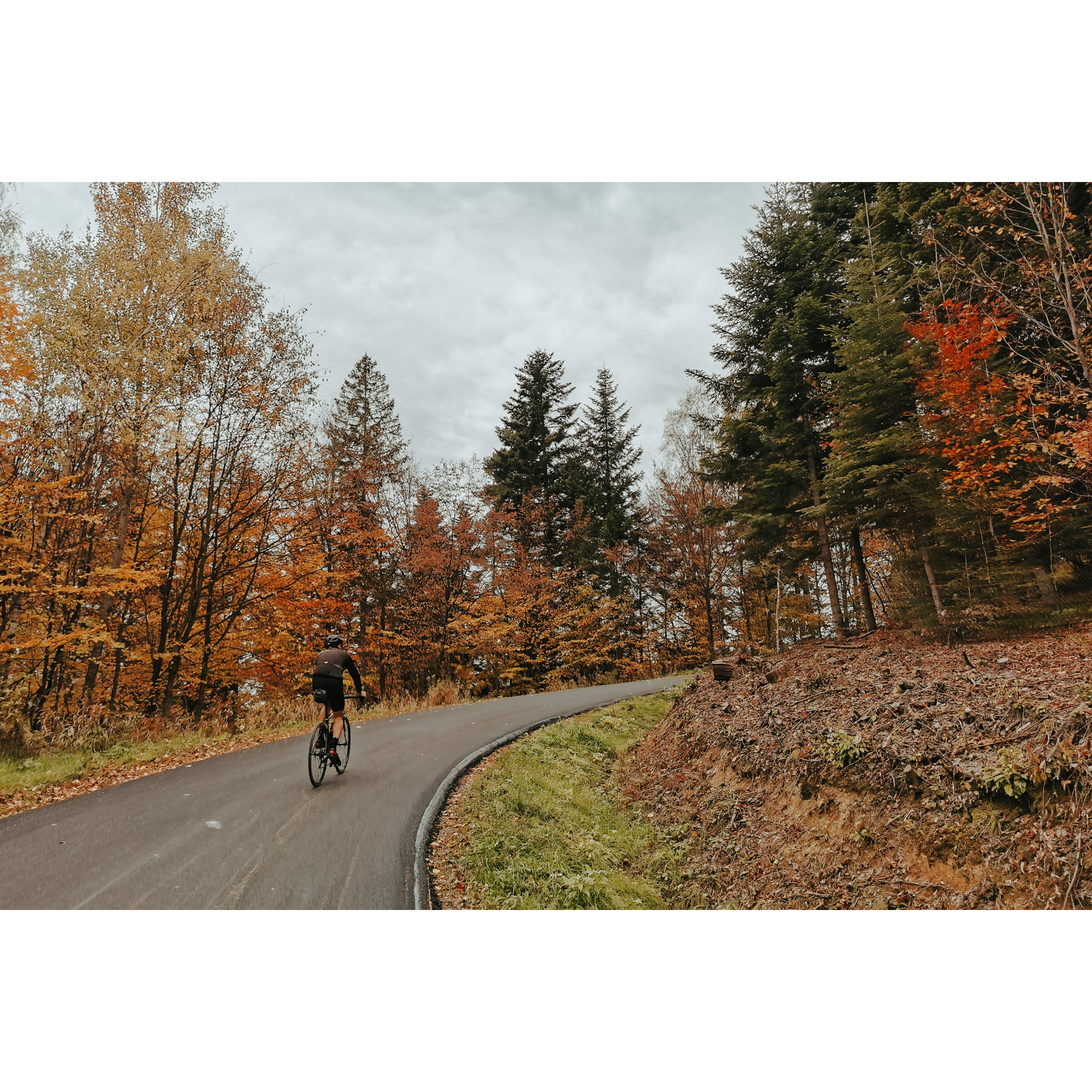
A simple and pleasant route, which can only be considered difficult due to its significant length of almost 80 km. It leads through towns, fields, meadows, forests and the hills of the Dynów Foothills. Along the way, there are many places worth seeing, including churches and chapels, historical monuments or monuments of architecture and flora. The San valley and the hills are beautiful spots, encouraging relaxation close to nature, in many places still wild and difficult to access.
Practical advices
Although this route is not demanding, it is worth preparing for it properly, so that nothing surprises you at any point. Start with the most important thing, which is your helmet. A good helmet is essential for your safety. Take care also of proper lighting, both front and rear. In addition to bike lights, equip your bike with reflectors so that you are highly visible on the road.
What else is worth taking with you on a trip? Make sure to pack a sweatshirt or a rail jacket in your backpack, in case the weather changes. It is also a good idea to bring snacks to give you energy during the trip. Protein bars or energy mousses work well.
If you plan to take visit the attractions along the route, you will need to leave your bike behind in some places. To make sure it is still there after the tour, be sure to bring a bike safety device such as a U-Lock or any bicycle lock.
Dolina Sanu i Wisły
Audiodeskrypcja tekstowa
Route details
Dynów – Izdebki – Borownica – Dylągowa – DynówStart
- 1Dynów0 kmDynów
The bridge over the San River, a characteristic terrain point, will be your starting point. Go along the left bank of the San River, along Marszałka Piłsudskiego Street and the regional road no. 835. You will reach Nozdrzec. There you will pass a palace built in the 19th century, destroyed during two world wars and only recently restored to its glory. Turn right. After a few kilometres, you will reach the village of Hłudno. Turn left there next to a large brick bus stop and a volunteer fire station, and head towards the church. Continue along the asphalt road. You will know you are going in the right direction when you complete the loop. Along the route, 4 km past the church, you will encounter a landslide, evidence of geological activity in the region.
- 2Izdebki15.3 kmIzdebki
In the centre of the village of Izdebki, you will find an 18th-century manor complex, beautifully restored, with an elegant portico and park, as well as the Independence Mound. Head south out of the village and tackle the scenic serpentine road, which ascends a long slope with 8 bends. After coming out of the last bend, you will encounter a junction; head left towards the summit of Wielka Góra (457 m above sea level). This is a great vantage point, a place for a short rest. Descend into the village and continue straight ahead. You will pass the well-kept manor house of the Sękowski family from the mid-19th century, an example of a traditional Polish noble manor house. At the end of the road, you will reach Dydnia and the junction with the regional road no. 835. Turn into it, heading left. You will pass the monument to the victims of the peasant strike and the neo-Gothic parish church. At a large curve in the road, before a small manor park, turn sharply right into a side road. Keep going forward and pass through Krzywe. Do not change direction until you reach a small, abandoned brick church near the crossroads in Końskie. The building is distinctive, made with a half-timbered technique. Turn left and continue without changing direction. In Witryłów, it is worth stopping at the former Uniate tserkva, which is now the parish church. Turn right before the end of the village, then cross the footbridge over the San, and head towards Ulucz, where there is the Greek Catholic Tserkva of the Assumption of the Lord. It is a beautiful monument from the 17th century until recently considered the oldest in Poland. Leave the tserkva and turn left into the forest.
- 3Borownica42 kmBorownica
Borownica is a village in the middle of a forest, whose location has not protected it from tragic events. Their testimony is the battle monument of the 17th Infantry Regiment, fought on 20th September 1939, and the monument to the murder of the inhabitants by Ukrainian nationalists from the Ukrainian Insurgent Army in April 1945. Turn sharply to the left at the cemetery and go through the woods, then turn left. You can make up a kilometre and head to Wołodź to see the neo-Gothic burial chapel of the Trzciński family and the Molotov Line battle shelter, whose field of fire included the San River. Dąbrówka Starzeńska is also home to the ruins of the Stadnicki family's castle, which dates back to the 16th century, and a burial chapel in the palace park. Continue in a south-easterly direction towards Łachowa Góra (444 m). Then, at the crossroads, turn left twice to reach Dylągowa.
- 4Dylągowa65.5 kmDylągowa
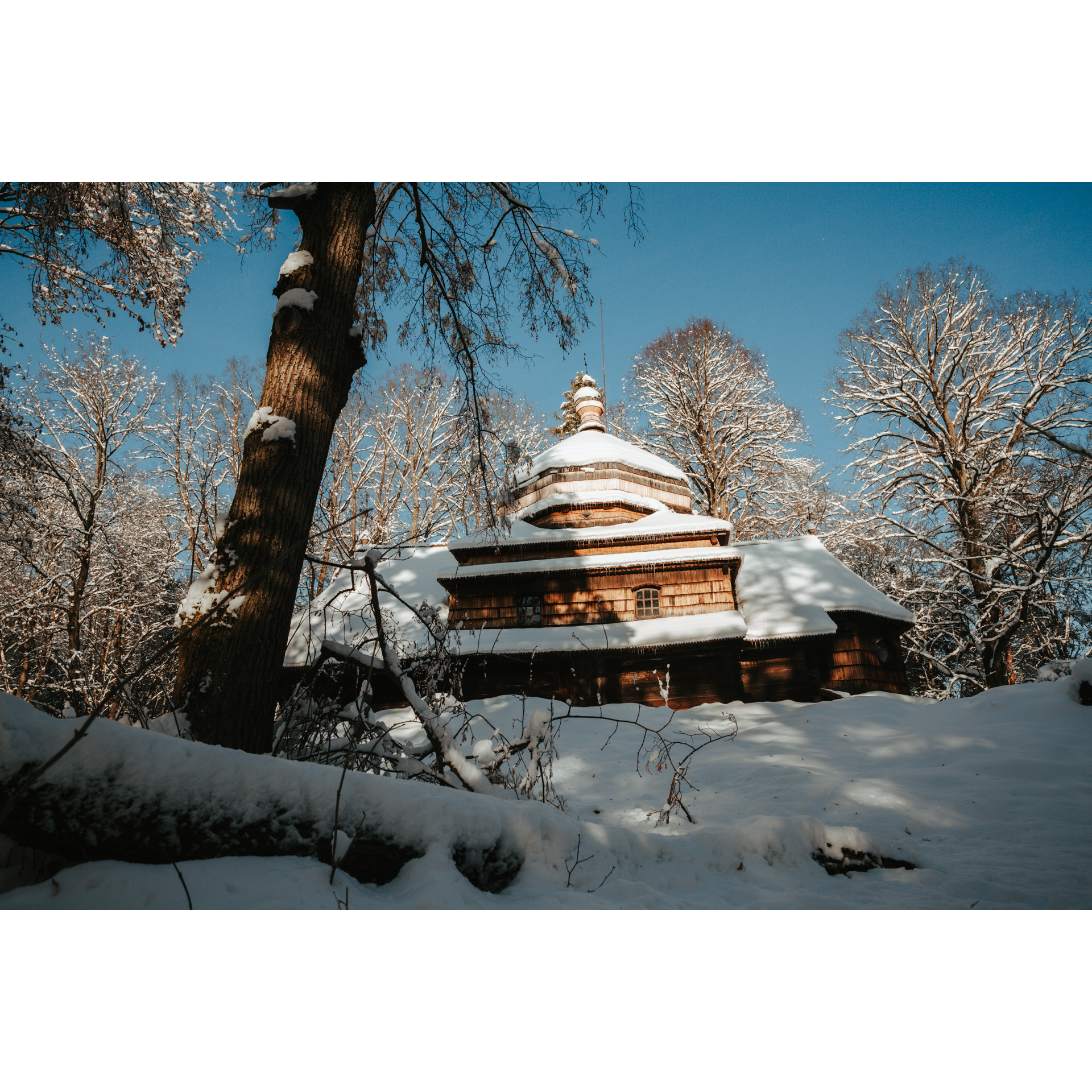
From Dylągowa, descend into the valley, turning towards the cemetery. After a kilometre, you can stop at the cascades and the stream. These are artificial waterfalls, but the arrangement of the space allows you to enjoy being close to nature. Going straight, you will reach a bridge over the San River, but turn before it and continue along the river. On the other bank is the Kozi Garb nature reserve. Heading ahead, you will reach the village of Pawłokoma, which you have to cut through, going around the church and then to Bartkówka. Keep following the main road until you reach the bridge over the San River, where you started your tour.
- 5Dynów78.8 kmDynów
Your trip ends at the bridge over the San River in Dynów, at your starting point.
Attractions near this route
Gallery
Check other routes


