Rzeszów and its surroundings
Through the forests around Sokołów Małopolski
XML, 72.73kB
About this route
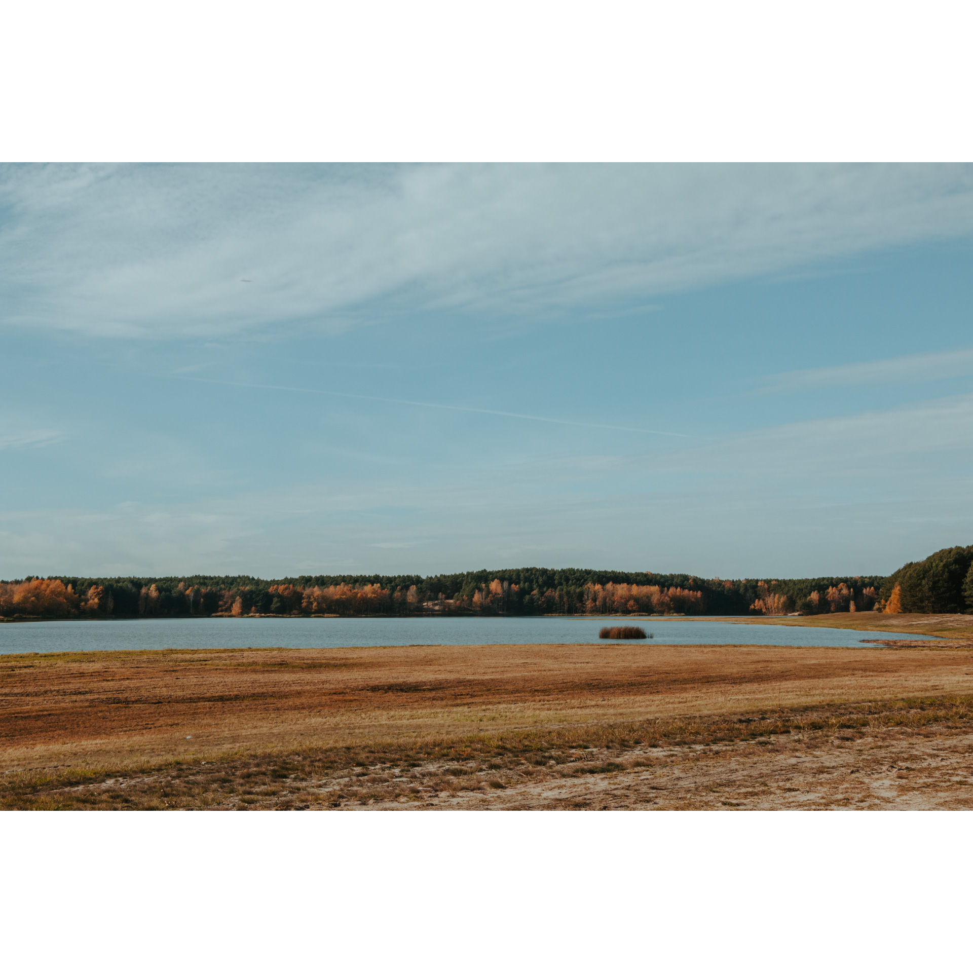
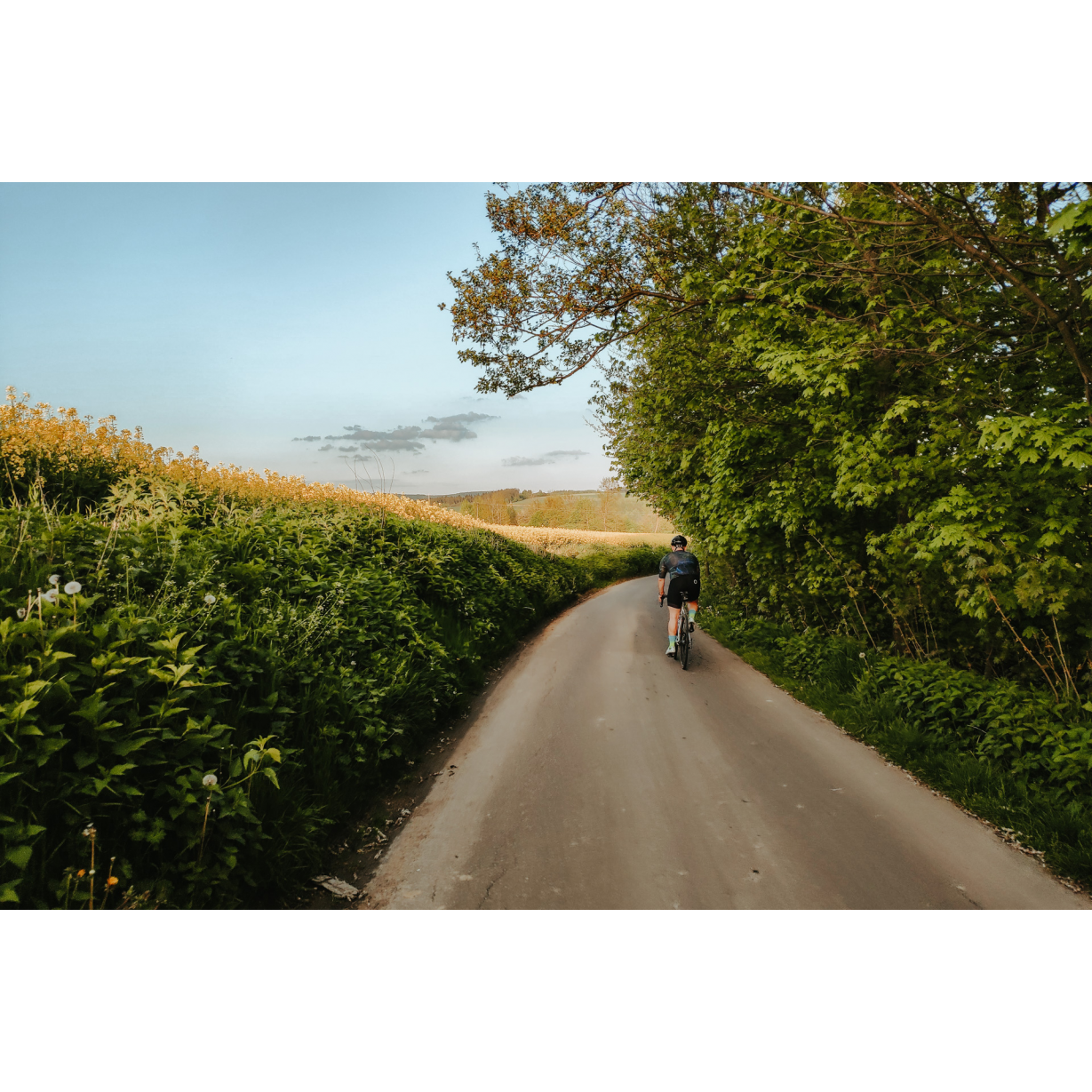
A calm route, leading through extensive forests, which are remnants of the Sandomierz Wilderness. In these forests and villages, people have been writing a history for centuries, often a tragic one. The route is scenic and relaxing, and along the way, you can have a picnic by the road or sunbathe on the beach by the reservoir.
Practical advices
A route with a moderate level of difficulty will allow you to test your fitness. Remember that the terrain has a huge impact on how many kilometres you can cover. Trails on flat roads are less strenuous than those on hills or mountain roads.
Planning a group trip? Match the route to the fitness of the weakest participant.
A helmet and light clothing made of breathable materials will be essential for safety and comfort on the route. Other than that, only put on the essentials. Heavy luggage will make your ride more difficult. Also, think about what you will carry the necessary items in. We suggest a backpack or panniers for your bike.
Be prepared for possible breakdowns on the route. It is a good idea to carry the most important tools for a quick fix, such as inner tubes or patches, a pump or a multi-tool. Make sure you have enough water and food, as well as navigation equipment.
Is it looking like a warm and sunny day? Remember sunscreen and sunglasses. If you are planning sightseeing or other activities along the route, a bike lock will also be very useful. Before you leave, carefully examine your route for the trip. Consider whether your skills and equipment are adequate for the level of difficulty of the route.
Rzeszów and its surroundings
Audiodeskrypcja tekstowa
Route details
Sokołów Małopolski – Raniżów – Sokołów MałopolskiStart
- 1Sokołów Małopolski0 kmSokołów Małopolski
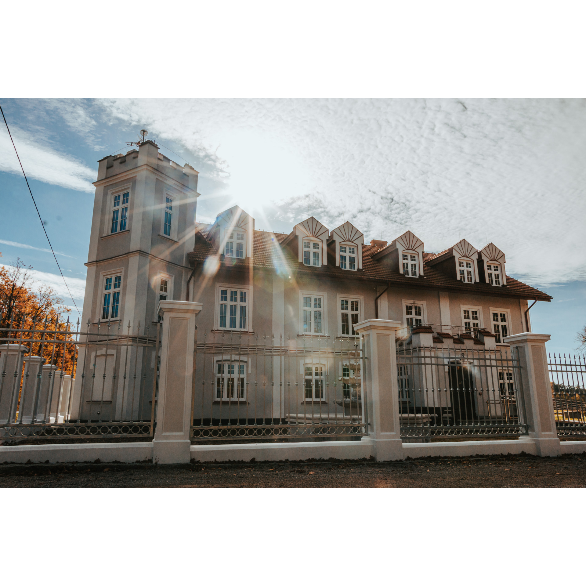
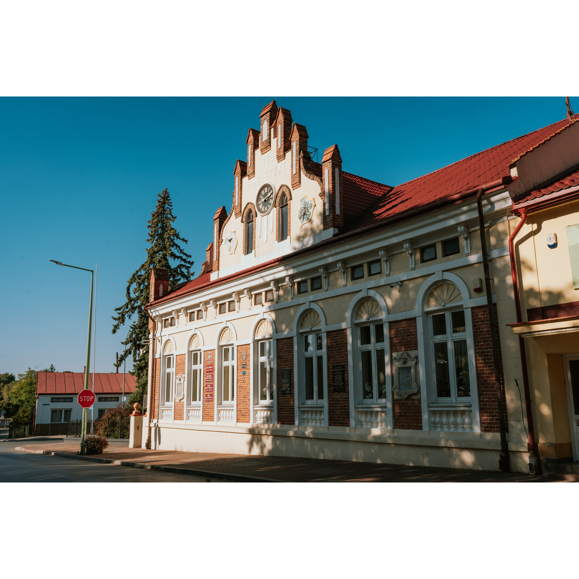
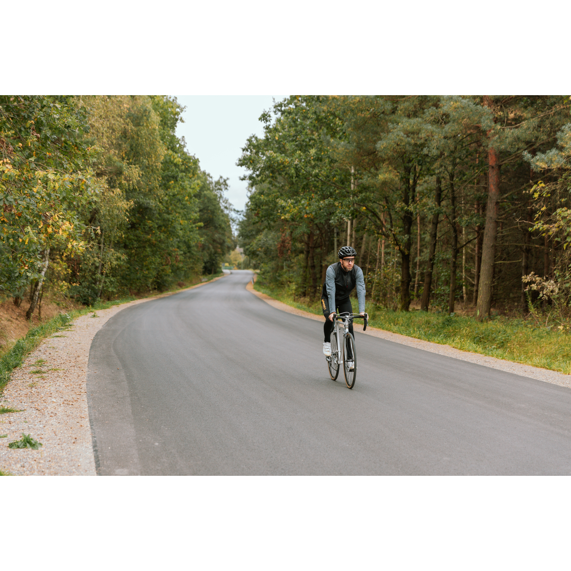
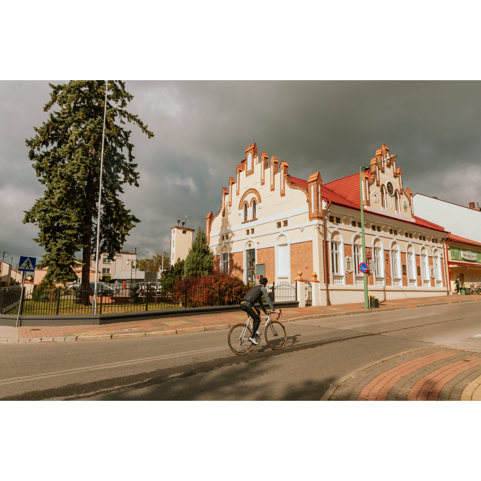
As a starting point, choose the market square in Sokołów Małopolski. Please note that, similar to nearby Głogów Małopolski, the main square here is Renaissance in style. You will recognize it by the ribbed layout of the streets. In addition to the Renaissance architecture, the buildings differ - consisting of Art Nouveau or modern single-story or two-story residential and service buildings. From the market square, head north on Lubelska Street, and after 400 metres, turn left onto Partyzantów Street. At the end of the latter, turn right onto Polna Street. It then turns into Mazurska Street and leads out of the town. Cross the bypass road and head towards the visible forest not far ahead. You have 2.5 kilometres of road through the forest ahead of you. This quiet place is a remnant of the ancient Sandomierz Wilderness - please respect it. Also, remember that you are passing through places of national memory - in the forests near Sokołów Małopolski and Turza, the Soviets murdered many Poles in 1944-1945, mainly soldiers of the independence underground. When you exit the forest, turn left to enter the village of Mazury. Interestingly, in the summer of 1944, the headquarters of the 1st Ukrainian Front, led by Marshal Ivan Konev, was stationed here. Beyond Mazury, you will reach the village of Zielonka. Turn right and continue along regional road No. 875. It leads through Staniszewskie to Raniżów.
- 2Raniżów13.1 kmRaniżów
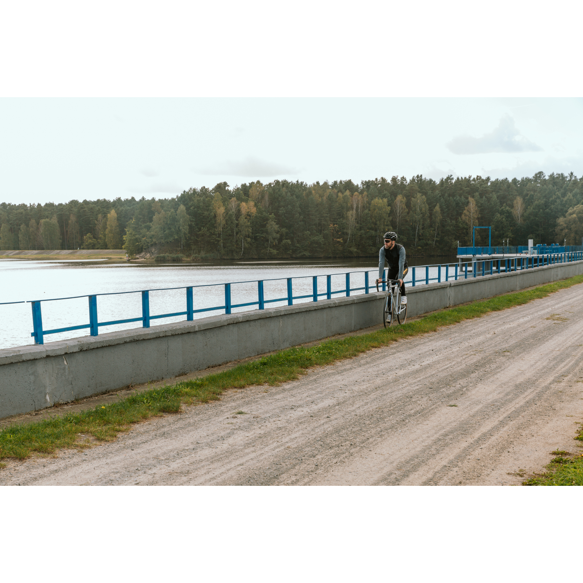
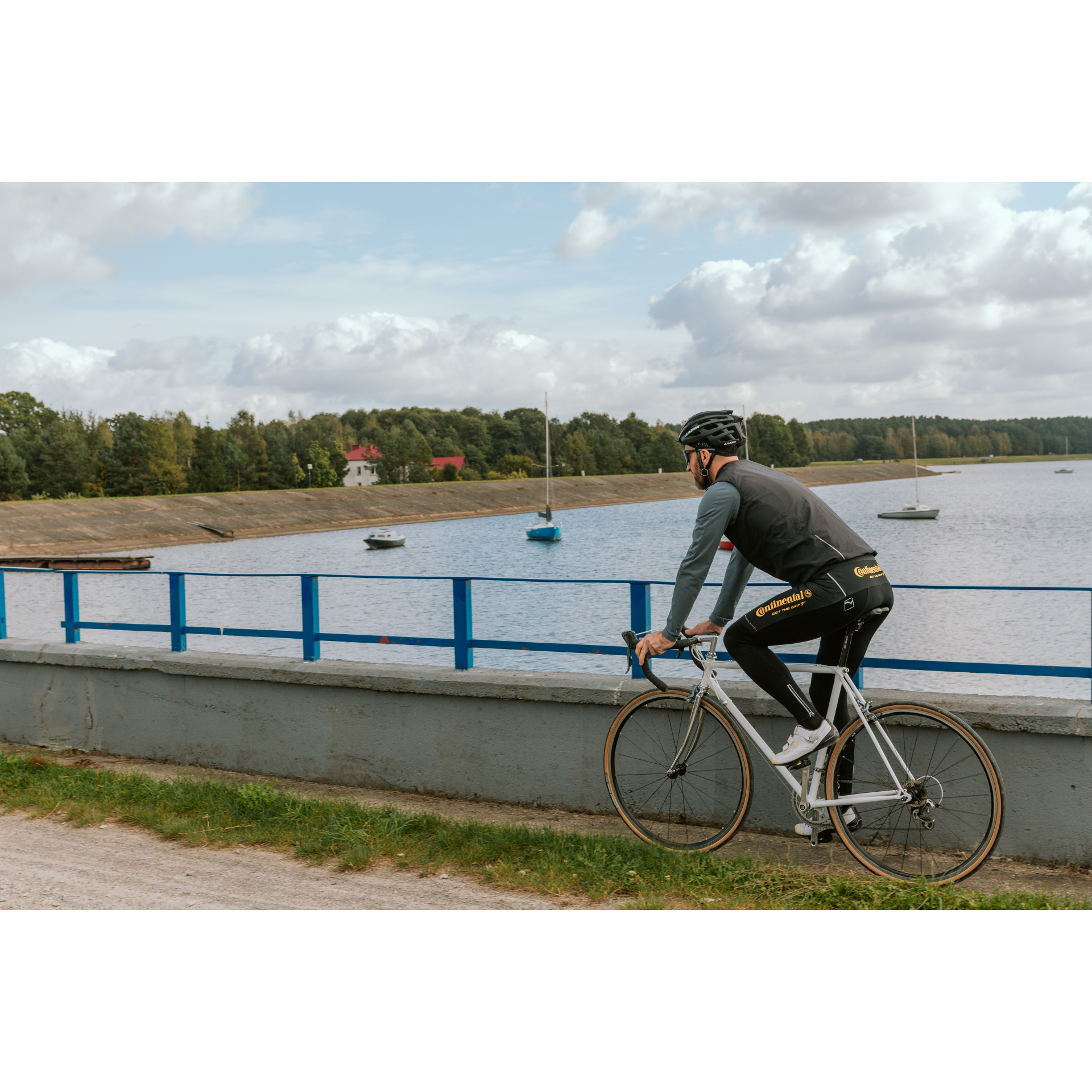
In Raniżów, worth visiting is the Church of the Assumption of the Blessed Virgin Mary, a late Baroque structure (built in the early 19th century) with a beautiful white and gold main altar and rich stucco decoration. On the small main square of the village, turn right onto Wolska Street. Then, you will have a 4.4-kilometre ride through gentle hills to Wola Raniżowska, surrounded by fields and groves. In the village, turn left at the school and right at the lovely neo-Gothic church. This will lead you to Stece, which you should pass without turning – we will return here later. Follow the road along the top of the embankment to the northwest. Stick to the path that turns toward the shore of Lake Maziarnia to enjoy the views and tranquility of the small body of water. This road, between the forest and the water, will lead you to a beach and then to the dam on Łęg. By following the path, you will go around the lake – you can stop at a viewpoint on the western shore or have a campfire at a designated spot. Following the well-marked trail, you will return to Stece. Cross the small bridge again, but this time turn right behind it, toward the village centre. From Stece, through forests and fields, you will continue for another 2.5 kilometres until you turn right. In Poręby Wolskie, near the Environmental Self-Help Centre, make a sharp left turn. At the end of this road, turn right to pass the church and continue. After 2.2 kilometres, make a right turn at a small intersection. If you are on the right path, you will pass a clump of trees, a few farms, and a small bridge on Turka. Drive this road for 3 kilometres to reach Zielonka. In the village, turn left and follow along Road 875. Before the forest, you will pass through Zmysłów, and then after 3.3 kilometres, you will immerse yourself in the forest's silence. Stay on this road, which will lead you to the market square as Podstawskiego Street.
- 3Sokołów Małopolski46.8 kmSokołów Małopolski
Your trip ends near the starting point.
Attractions near this route
Gallery
Check other routes


