San and Vistula Valley
The route through the Przemyskie Foothills Landscape Reserve
XML, 122.58kB
About this route
The route through the Przemyskie Foothills Landscape Reserve is a proposal for all people in good shape. There are many difficult ascents and quick descents along the route. The estimated duration of the ride is as much as 7 hours.
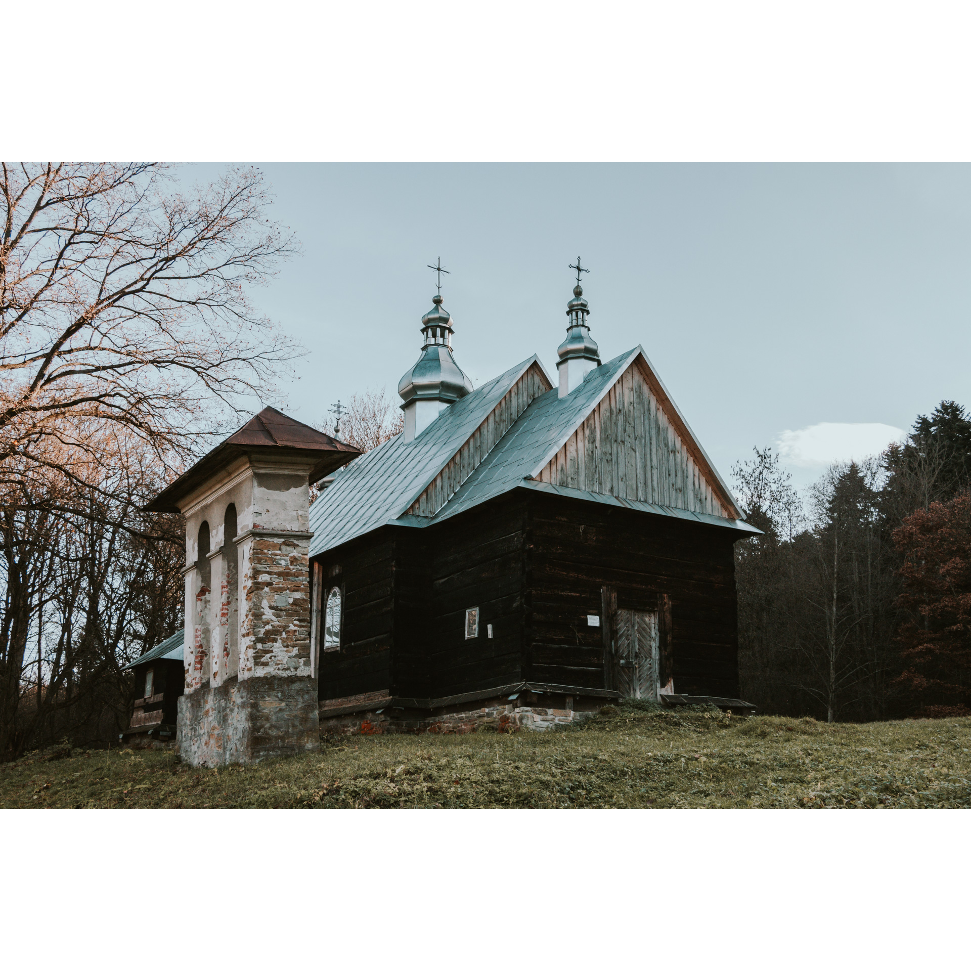
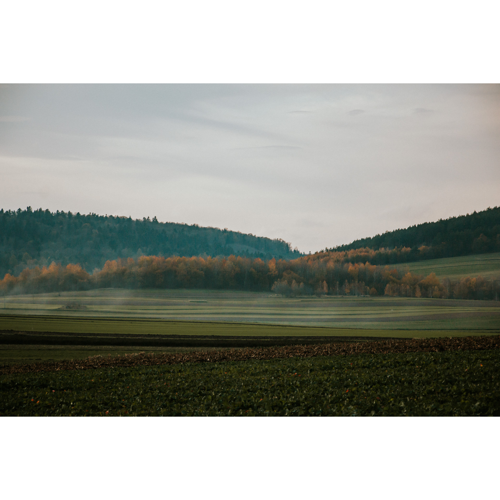
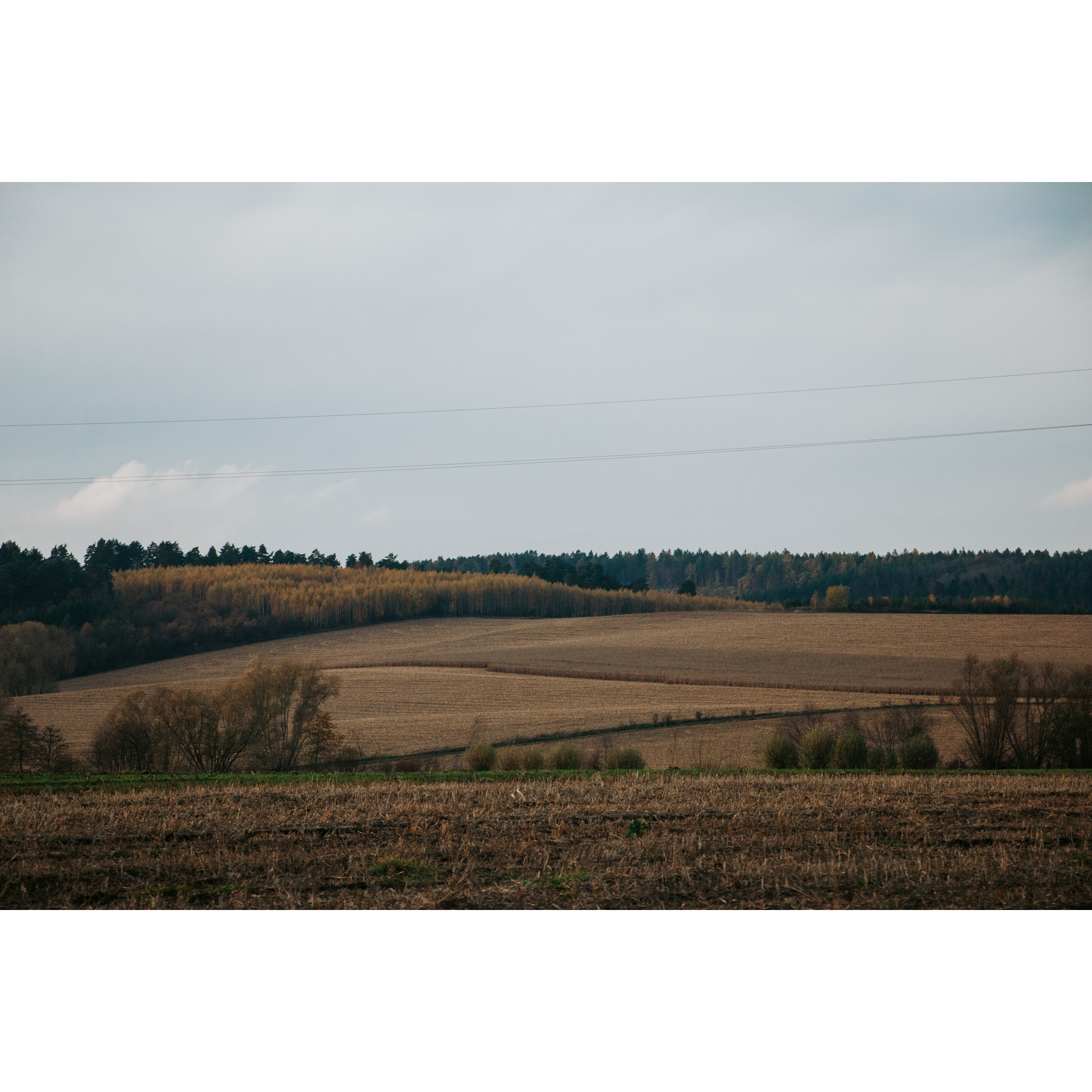
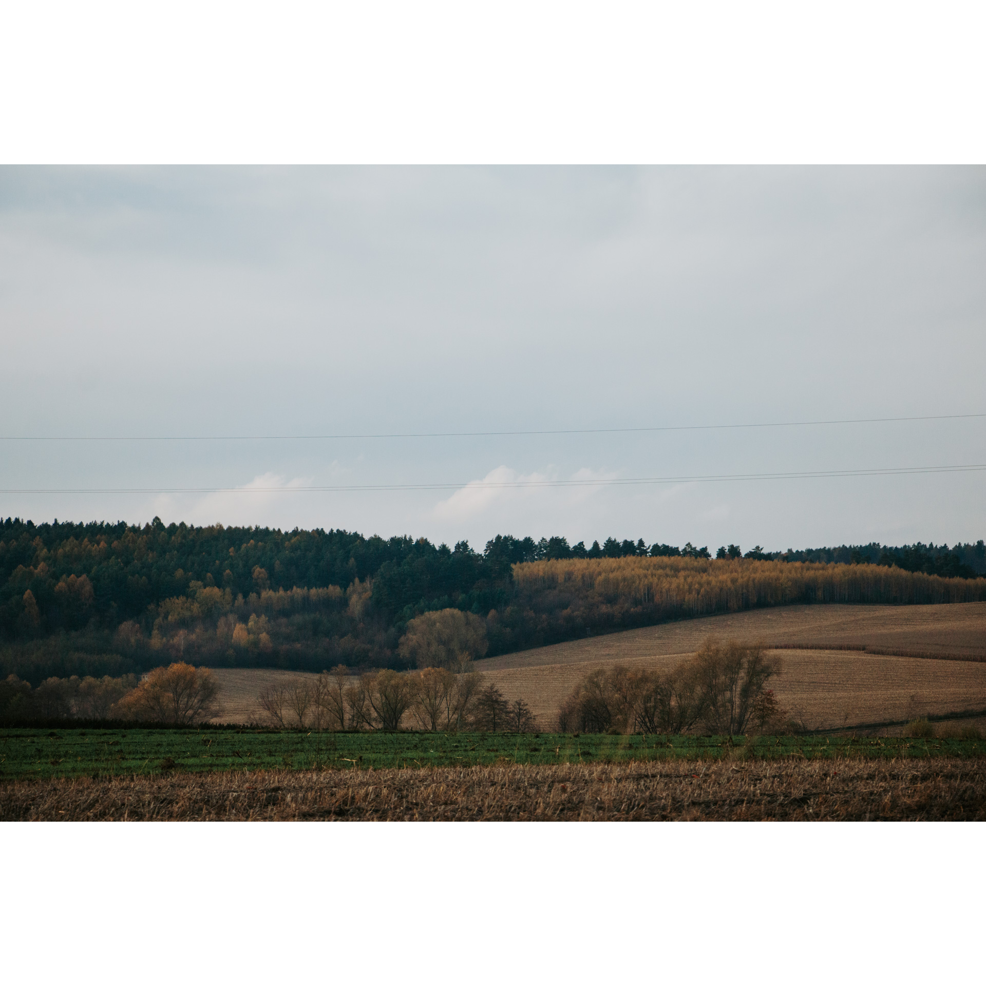
As a warm-up, you will ride through the San Valley, and then visit smaller valleys and scenic hills. Along the way, there will be no shortage of interesting architectural sites - you will visit, among others, the sanctuary in Kalwaria Pacławska, and the tserkov with defensive structures in Posada Rybotycka. You will be passing through an area that was largely depopulated during the displacements and extermination of people during World War II. Cycling through the Przemyskie Foothills, you will be transported to places where forgotten history merges with the present day.
Practical advices
When preparing for a route, be sure to check the weather forecast. This will allow you to take appropriate clothing and limit your luggage as much as possible. However, it is well known that the weather can be unpredictable, so be prepared if it gets worse. It is good practice to pack a thin rain jacket that does not take up much space.
Before starting the route, carefully analyse it on a map. Consider whether your skills and equipment are adequate for the level of difficulty of the route.
Download the accompanying .gpx file so that you always have your navigation at hand. To make sure your device doesn't fail you, also bring a power bank, charger or spare batteries. If the weather changes, you may find it useful to have a waterproof case for your electronic equipment.
Be sure to take drinks and food with you on long journeys; you never know when you will get hungry. Remember that a shop or restaurant may be located a long way away. We recommend that you stock up on water, isotonic drinks, energy bars and snacks. This will make sure you don't lose the motivation to continue riding.
The absolute basis for safety is, of course, a helmet. Also, prepare yourself technically. Make sure you have adequate lighting on your bike. Pack a repair kit. Spare inner tubes, a pump, a multitool, all of these things can come in handy in the event of a breakdown, which of course you don't want!
Dolina Sanu i Wisły
Audiodeskrypcja tekstowa
Route details
Bachów - Chyrzyna - Kupna - Chołowice - Mielnów - Olszany - Rokszyce - Koniusza - Gruszowa - Huwniki - Kalwaria Pacławska - Huwniki - Rybotycze - Posada Rybotycka - Łodzianka Górna - Bircza - Nowa Wieś - Sufczyna - Brzuska - BachówStart
- 1Bachów0 kmBachów
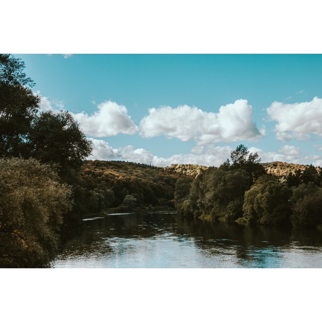
This is where you start your tour. You are on the left bank of the San. If arriving by car, you can leave it on the side of the road.
You will start your route by crossing a suspension footbridge over the San.
- 2Chyrzyna6.3 kmChyrzyna
Take the asphalt road to the bridge in Chyrzyn. Then take a side road, which will lead you to a small settlement called Chyrzynka, where there is a wooden tserkva of St. Simeon Stylites dating back to the mid-19th century.
Near the temple, turn left, return to the main road and continue along the San Valley. You will follow the East of Poland Cycling Trail Green Velo, and you will encounter three ancient churches on your way.
- 3Kupna10 kmKupna
Keep going straight ahead. Soon you will come across the aforementioned churches.
- 4Chołowice12.8 kmChołowice
The first of the former brick tserkva can be found in Chołowice. It now serves as a Catholic church.
- 5Mielnów15.2 kmMielnów
This is another location of a former tserkva, now a Catholic church.
- 6Olszany18.3 kmOlszany
In Olszany, you will find the third church mentioned above. Here you leave the San Valley and head into a lateral valley.
- 7Rokszyce20.3 kmRokszyce
Past Rokszyce, where you will see a neo-Gothic church, take the gravel road leading through the forest. Head towards Koniusza.
- 8Koniusza27.1 kmKoniusza
In Koniusza, you will come across the former wooden Tserkva of the Laying of the Robes of the Blessed Virgin Mary, which is located a bit on the sidelines.
The building was erected in 1901. At present, it serves as a branch church.
- 9Gruszowa29.7 kmGruszowa
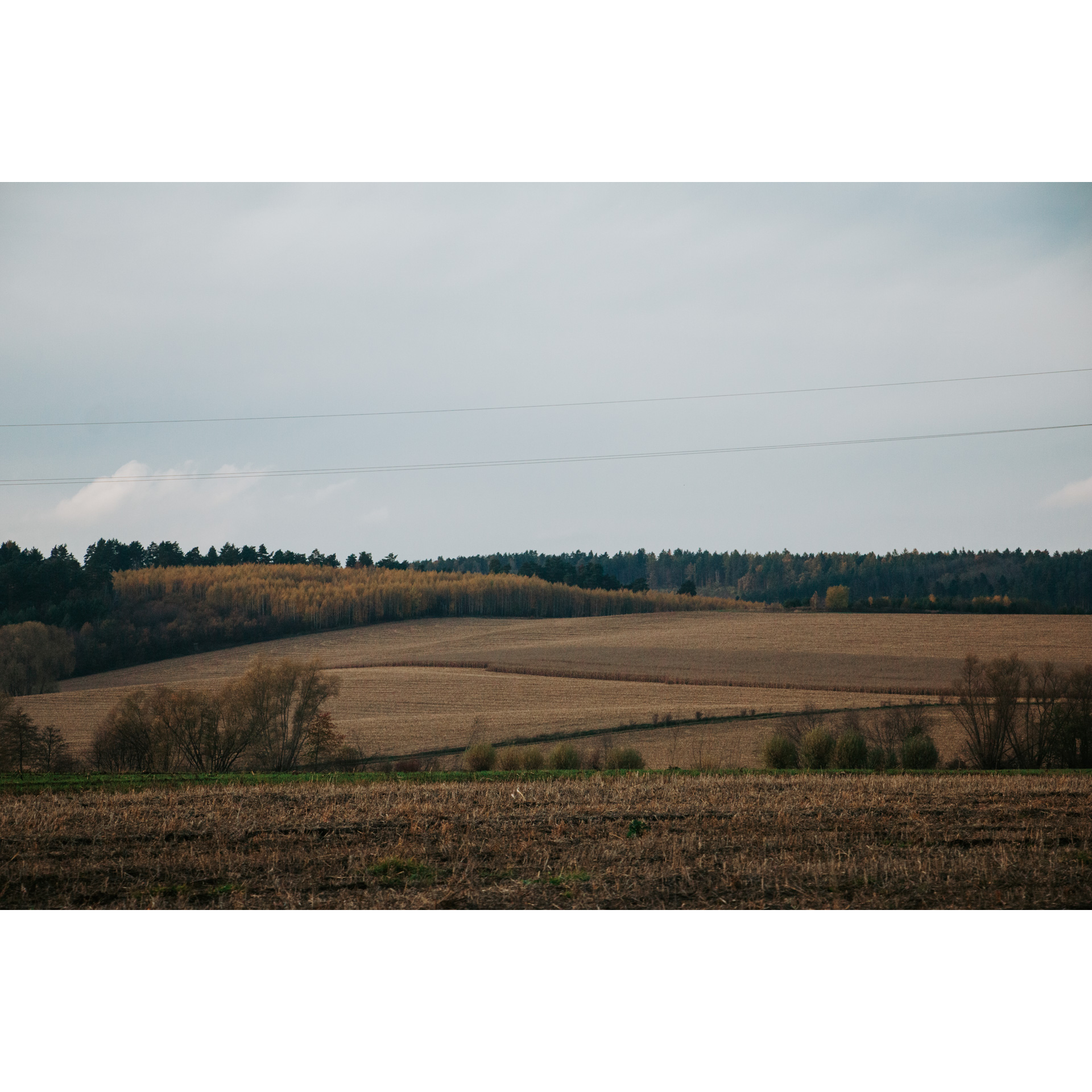
A picturesquely situated chapel welcomes you on the descent to Gruszowa. From here you can enjoy views of the southern ranges of the Przemyskie Foothills.
- 10Huwniki32.6 kmHuwniki
A sharp downhill slope leads to the village. In Huwniki, there is a noteworthy Greek Catholic Tserkva.
- 11Kalwaria Pacławska36.9 kmKalwaria Pacławska
A strenuous ascent awaits you at this stage of the route. It will lead you to the Sanctuary of the Passion of Christ and Our Lady in Kalwaria Pacławska.
This is one of the most famous places of worship in the Podkarpackie region. The monastery buildings of the Franciscan order began to be built in the mid-17th century, on top of a hill 465 m above sea level.
The landscape of the area is reminiscent of the terrain near Jerusalem - two hills separated by a river valley. The approximately 1.6-kilometre-long Way of the Cross and the so-called „dróżki kalwaryjskie” (calvary paths), dedicated to the Virgin Mary, run through it. In total, over 40 chapels were set up around them.
You will pass one of the chapels along the way. There is also a miraculous spring here.
When you get there, you can visit the church and the monastery buildings.
Now head along the descending ridge of the Kalwaryjskie Range. In front of you is a picturesque foothills landscape with the Kalwaryjskie chapels in the foreground. Then you are faced with a sharp descent into the Wiar valley, which you follow further west.
- 12Huwniki41.1 kmHuwniki
- 13Rybotycze44.9 kmRybotycze
You reach the village of Rybotycze. Here, the remains of a 19th-century small-town house have been preserved to this day. You will also find the remains of the bastion wall of the castle and the Catholic church.
- 14Posada Rybotycka48.9 kmPosada Rybotycka
In Posada Rybotycka, which is almost deserted nowadays, S Greek Catholic tserkva of St. Onuphrius, with defensive structures, has been preserved.
It is the oldest brick building of a defensive character in Poland, with two towers in which shooting holes are visible. The building was built in the Gothic style. Its oldest architectural element is the presbytery from the turn of the 14th and 15th centuries. Original polychrome elements have been preserved in the interior.
- 15Łodzianka Górna56.3 kmŁodzianka Górna
In Łodzianka Górna, you will leave the asphalt road for a dirt road leading to the Chomińskie peak.
From the local tower, you can enjoy extensive views of the surrounding foothills. Nearby, there is an obelisk commemorating the Battle of Bircza on 12nd September 1939.
- 16Bircza61.5 kmBircza
The descent to Bircza is full of marvellous views. In this village, you will find, among others, the Humnicki Castle, church and market square.
Cross the national road no. 28 and the wooden bridge over the stream. Continue down the Stupnica valley through Nowa Wieś, Sufczyna and Brzuska.
- 17Nowa Wieś64.4 kmNowa Wieś
- 18Sufczyna68 kmSufczyna
- 19Brzuska70.4 kmBrzuska
- 20Bachów76.5 kmBachów
Along the way, you will pass another church on the route and numerous wayside shrines.
You will return to the location from the start of the course, the footbridge across the San in Bachów, after travelling more than 70 kilometres.
Attractions near this route
Gallery
Check other routes


