San and Vistula Valley
The San River Basin among places marked by history
XML, 115.53kB
About this route
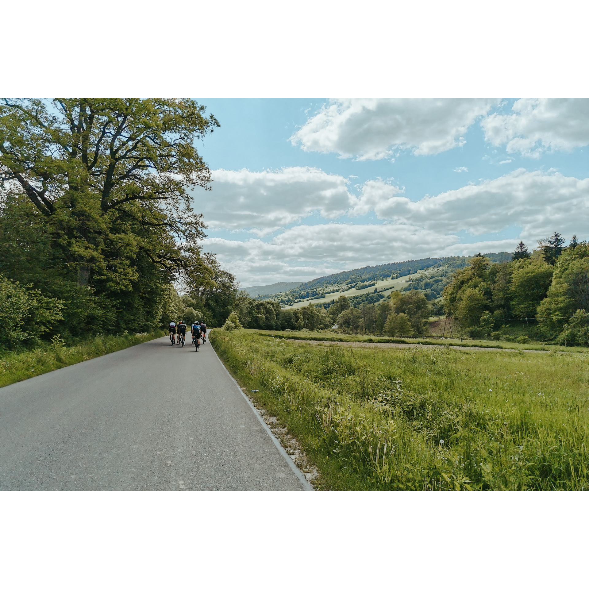
This is a truly phenomenal route, with a distinct sightseeing and historical character. It starts at the remarkable open-air museum in Sanok, and leads along the San valley and its basin through villages and small towns bearing traces of history, the great and sublime as well as the small and cruel. Through abandoned Ruthenian settlements, hills, forests, past chapels, tserkvas, castles and bunkers, you will travel in the footsteps of the past. Most of the roads are asphalt, and the moderate length of the route will not be a challenge even for amateur cyclists.
Practical advices
Although this route is not demanding, it is worth preparing for it properly, so that nothing surprises you at any point. Start with the most important thing, which is your helmet. A good helmet is essential for your safety. Take care also of proper lighting, both front and rear. In addition to bike lights, equip your bike with reflectors so that you are highly visible on the road.
What else is worth taking with you on a trip? Make sure to pack a sweatshirt or a rail jacket in your backpack, in case the weather changes. It is also a good idea to bring snacks to give you energy during the trip. Protein bars or energy mousses work well.
If you plan to take visit the attractions along the route, you will need to leave your bike behind in some places. To make sure it is still there after the tour, be sure to bring a bike safety device such as a U-Lock or any bicycle lock.
Dolina Sanu i Wisły
Audiodeskrypcja tekstowa
Route details
Sanok – Olszanica – Tyrawa Wołoska – SanokStart
- 1Sanok0 kmSanok
Let's start the tour at The Museum of Folk Architecture. We'll come back here, so you can take the route first and then visit the open-air museum, or vice versa. The decision is up to you. The museum recreates life in Galicia in the 19th and 20th centuries, thanks to the buildings and farm equipment relocated here in their entirety. There is the market square of a Galician small town, there is a pastoral sector, a manor house, a tserkva and oil wells. It is worth spending several hours exploring. From the car park at the open-air museum, go south along Rybicki Street and then along the footpath, keeping to the river bank. At the bridge, turn off into Przemyska Street. Look around the hills on your left; there are numerous bunkers of the Soviet Molotov Line. Pass Bykowce and in the village of Załuż, turn right on the bend of national road no. 28, in the direction of Lesko. You will reach Sobień Castle and the Góra Sobień nature reserve. It is a picturesque place by a bend in the river, and the castle itself was built in the Middle Ages. Before the church in Manasterzec, turn left and go under the railway tracks. On the way, you will pass an iron ore mine that was closed back in the 19th century. It is worth mentioning that there are also small deposits of uranium in the area, which are not profitable to exploit. You will reach Bezmiechowa Górna, where you will turn left. As you pass the gliding airfield, remember the successes of Polish aviators, including Tadeusz Góra's record-breaking flight, which started here and ended near Vilnius, earning him the prestigious Lilienthal Medal. By the roadside, you will also find a monument to murdered Polish soldiers. Through the forest, you will reach Olszanica after 5 km.
- 2Olszanica24 kmOlszanica
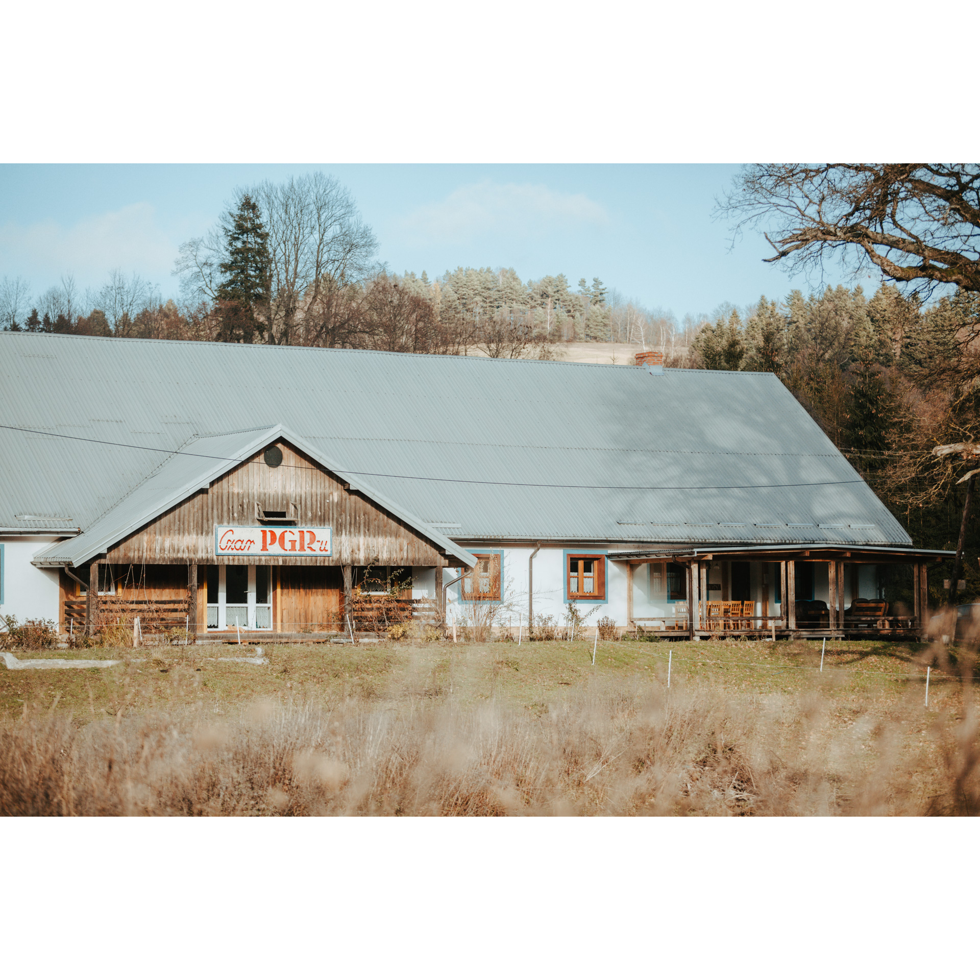
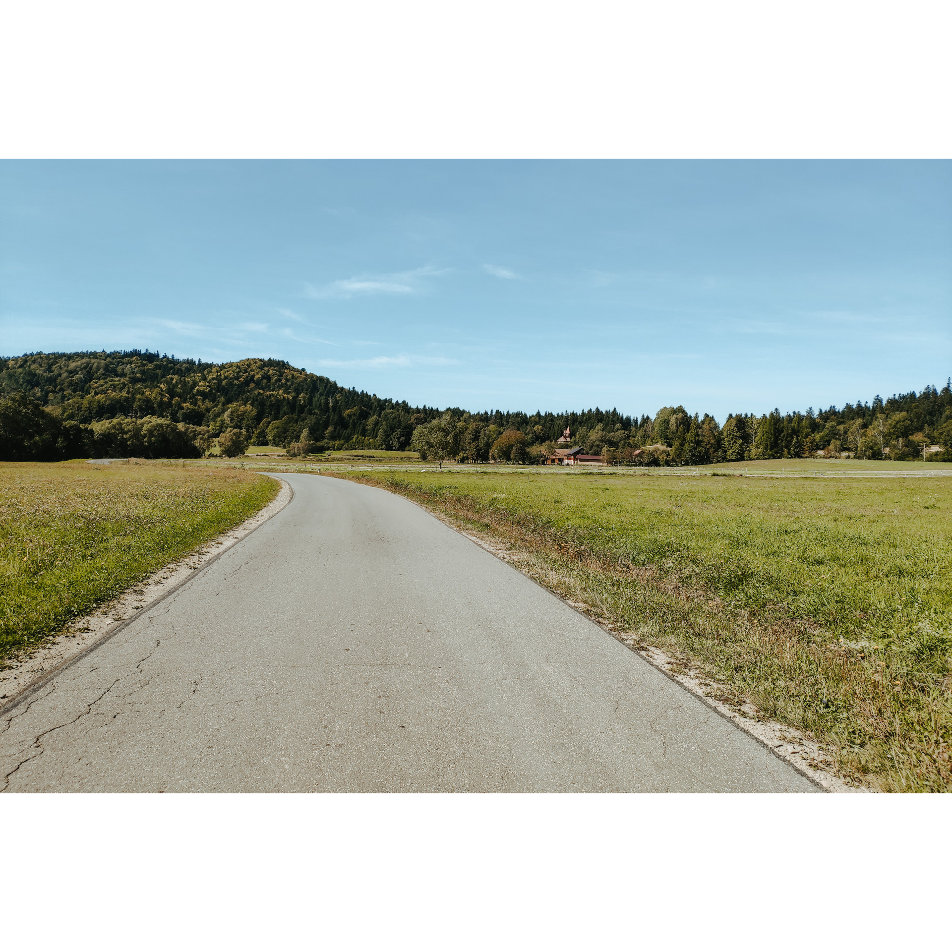
At the first opportunity, cross the Wańkówka river and turn left, heading north, without entering Olszanica. Only a 3 km drive through the river valley separates you from some of the best cheeses in Podkarpacie, which you will get at the "Czar PGRu" farm run by Greek Nikos Molonopulos. A few hundred metres away, on the other hand, you will find the former tserkva in Wańkowa, now a Roman Catholic church. The building was erected in 1726 in Ropienka and moved to its present location 250 years later. Turn left after the church, heading north. In Ropienka, go straight on. Past the main crossroads by the church, on your left, you will find a small oil field with antique black gold mining equipment. At the school in Ropienka Dolna, turn left. There is a very long straight ahead of you to Rozpuć, where you will enter national road no. 28. On the way, you can stop at the tserkva in Zawadka, and further on, at the small Church of the Holy Cross and the tserkva in Rozpuć. This 11-kilometre stretch is not only a journey through history, filled with the tragic fate of the Ruthenians who were expelled from here after World War II but also an opportunity to rest amidst the scenery of a long, narrow valley between wooded hills. The villages are long and the buildings are very sparsely scattered. Turning left in Rozpucie, you will reach Tyrawa Wołoska.
- 3Tyrawa Wołoska46 kmTyrawa Wołoska
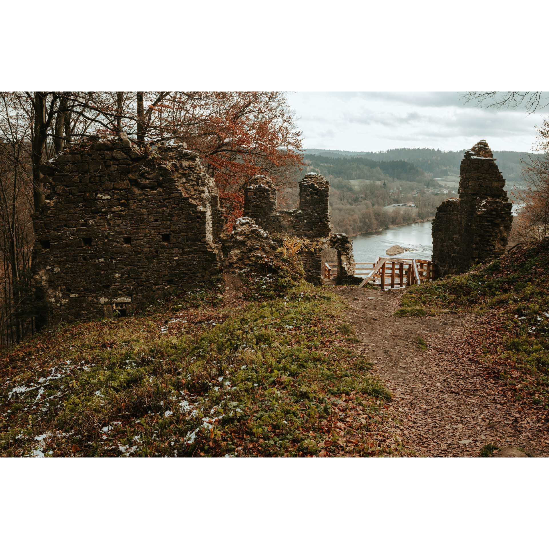
The main attraction of Tyrawa Wołoska is the baroque church from the early 18th century. Today it is magnificently restored, but at times it was in decay and was even in danger of being abandoned. Opposite it stands a small colonnade, a sad remnant of the portico of the local manor house. Turn right at the church. Along the Tyrawka River, you will pass through Hołuczków and Siemuszowa to Tyrawa Solna. Pass Diabla Góra (355 m) and cross the San River, then head west. At the Dębna crossroads, after the monument marked with Grunwald crosses and a chapel, turn left, following the river and its meander by the village of Międzybrodzie. From there, after 3 km, you will reach Trepcza, located on the outskirts of Sanok. Hidden in the forest on the right are two fortified settlements, and on the plain by the river, opposite the picturesquely situated tserkva, a German forced labour camp for Jews that operated until 1942.
- 4Sanok68 kmSanok
You may be tempted to visit the market square and castle before returning to your starting point, closing the loop. The market square is a beautiful establishment with neoclassical townhouses and a Renaissance town hall. The church is also interesting, neo-Gothic in form but baroque in design. The Royal Castle in Sanok, on the other hand, is an establishment developed in the 14th century through successive expansions. It owes its present shape to the 1934 reconstruction after the destruction caused during World War I. Interestingly, it was last defended during the Napoleonic Wars in the early 19th century. It is now home to a museum.
Your route ends at the starting point.
Attractions near this route
Gallery

Check other routes


