Rzeszów and its surroundings
By bicycle to the Maziarnia Reservoir
XML, 34.46kB
About this route
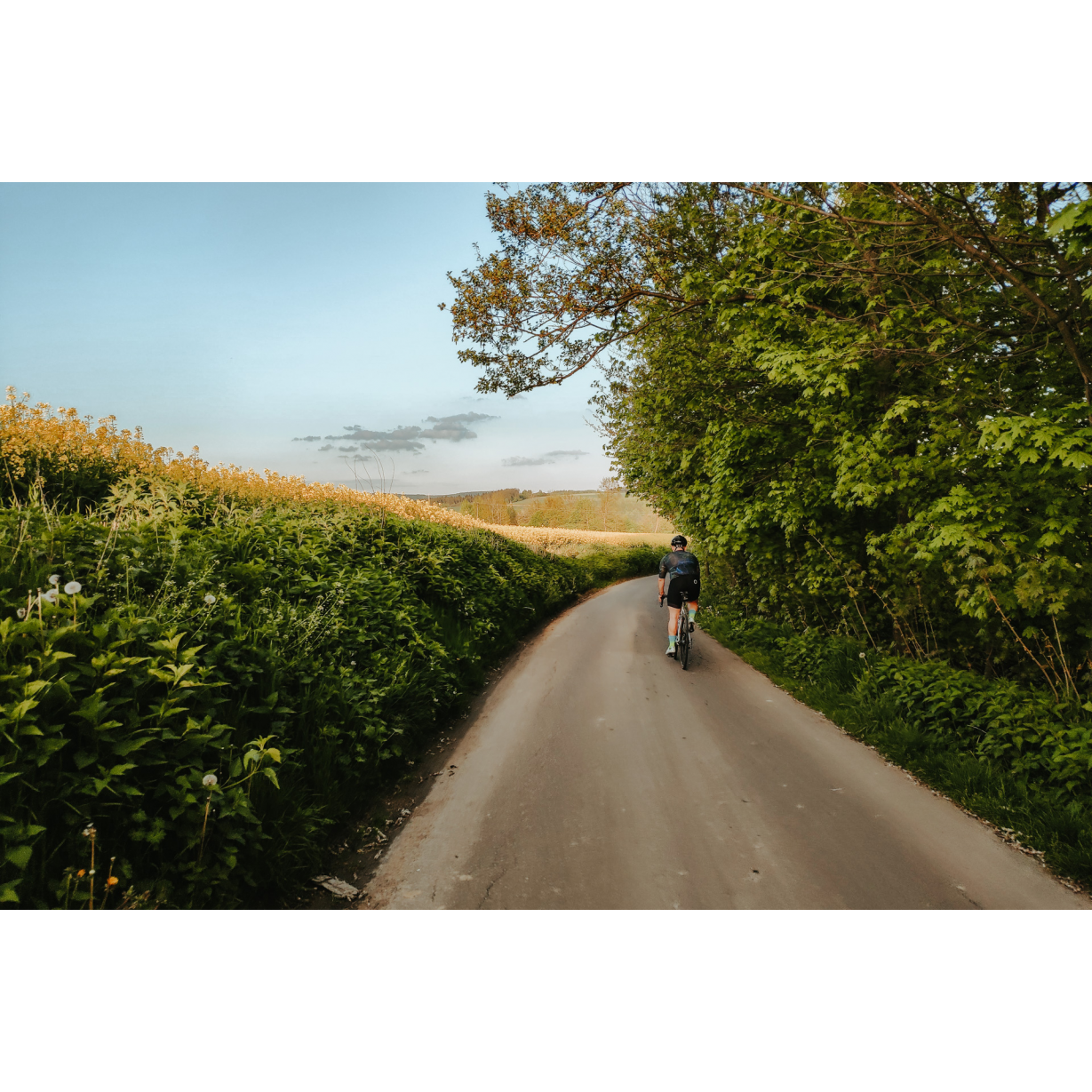
A route running through the surroundings of Kolbuszowa. In front of you is a technically easy route. It runs mainly on forest paved roads with little car traffic. Before setting off, however, remember that this is a poorly signposted area. No cycle trails are running through it, so take a map or navigation device with you on your route. It will certainly be useful to have a phone or a device with a GPS app on which you can upload a .gpx file and view the route in real-time and also offline, in case there are problems with coverage.
The route can be considered recreational. Both amateurs and children can easily manage it.
Practical advices
Although this route is not demanding, it is worth preparing for it properly, so that nothing surprises you at any point. Start with the most important thing, which is your helmet. A good helmet is essential for your safety. Take care also of proper lighting, both front and rear. In addition to bike lights, equip your bike with reflectors so that you are highly visible on the road.
What else is worth taking with you on a trip? Make sure to pack a sweatshirt or a rail jacket in your backpack, in case the weather changes. It is also a good idea to bring snacks to give you energy during the trip. Protein bars or energy mousses work well.
If you plan to take visit the attractions along the route, you will need to leave your bike behind in some places. To make sure it is still there after the tour, be sure to bring a bike safety device such as a U-Lock or any bicycle lock.
Rzeszów and its surroundings
Audiodeskrypcja tekstowa
Route details
Morgi - Poręby Wolskie - Stece - Maziarnia - Klaudiuszówka - Nowy Nart - MorgiStart
- 1Morgi0 kmMorgi
Here, at the start of the Morgi educational path, you can leave your car. Here you will find a small canopy and the St Hubert obelisk.
The history of this monument dates back to the time when the owner of the surrounding forests was the hunting enthusiast, Baron Antoni Goetz. He founded the obelisk to commemorate his hunting adventures. It was destroyed during the war, but the monument was later rebuilt and placed in its original location.
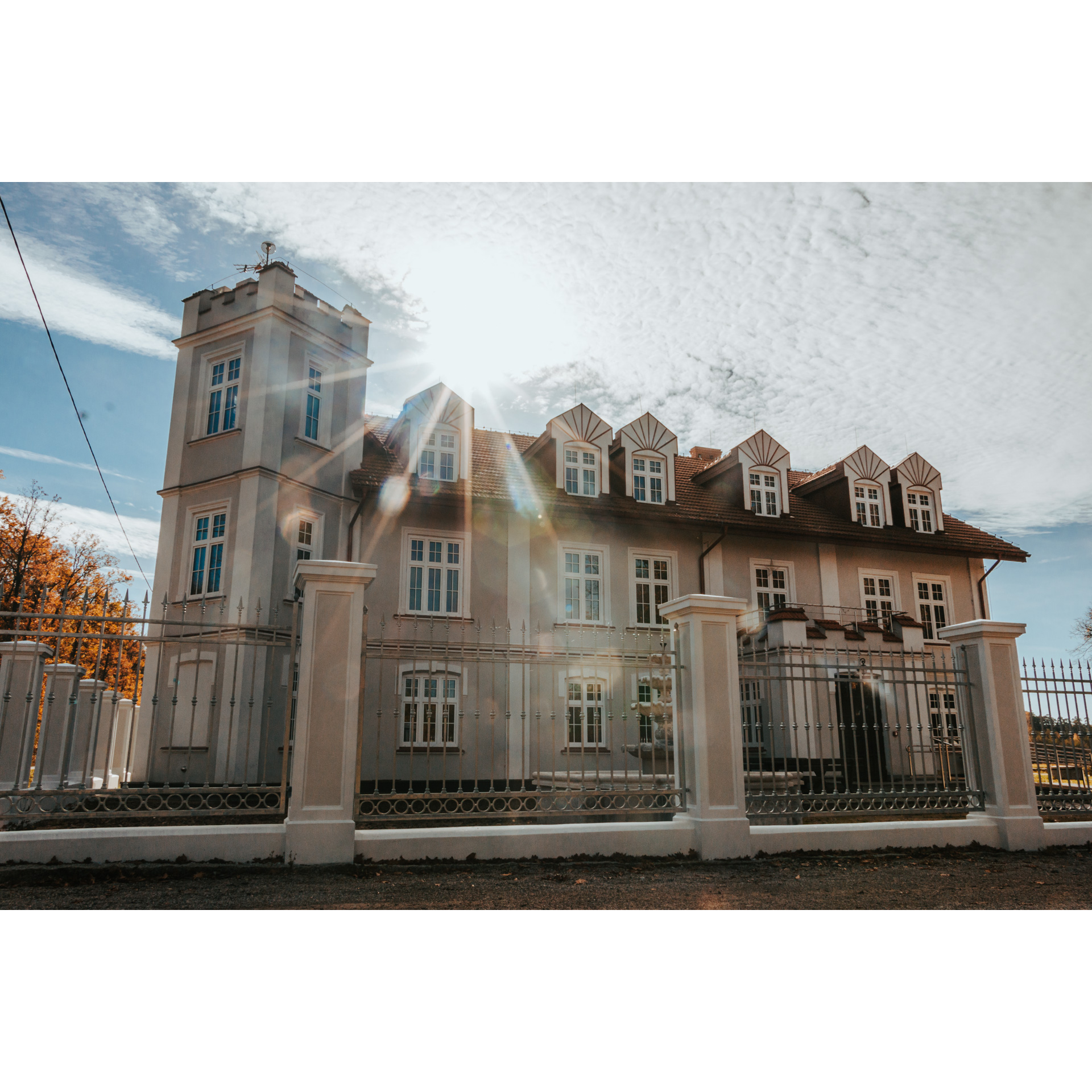
Go south along fire road no. 19. After approx. 400 m you will pass a campfire site with benches on your left. Travel another 400 m and turn right. You will reach an asphalt road where you turn right again. Here you will see the Hunting Chateau in Morgi already from afar.
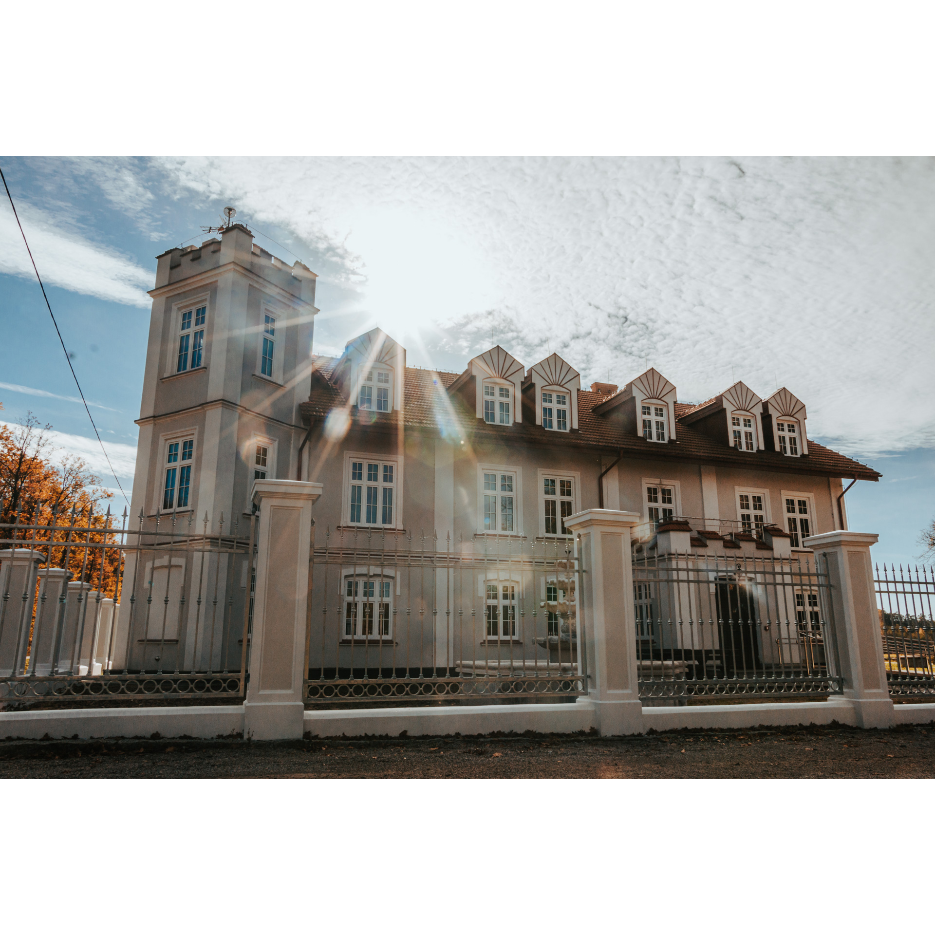
It was built in the 18th century by the Ressequier counts. It used to be the seat of the Morgi Forestry Commission. The palace was also the property of the police. Today it is in private hands.
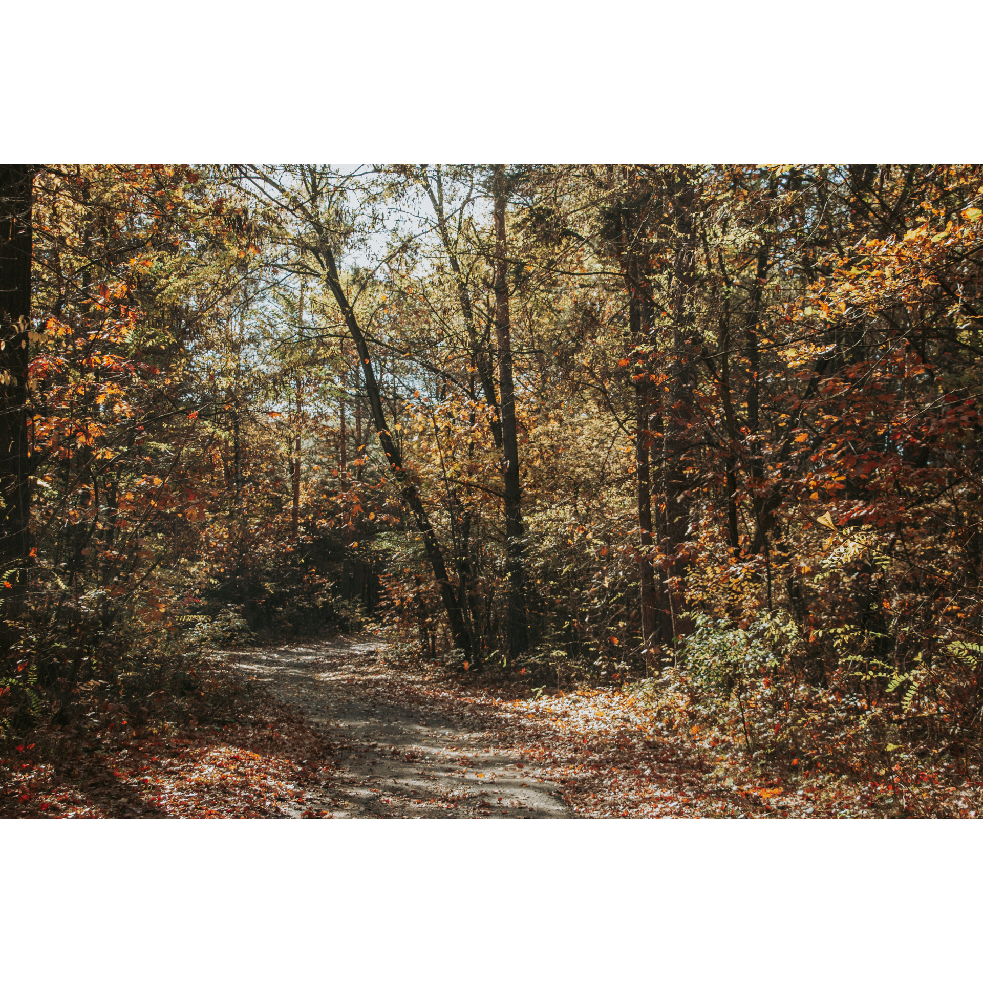
Go back 400 m and continue along gravel road no. 23. After 2 km, you will pass a forester's lodge on your right. Turn left onto the asphalt road, leading through Poręby Wolskie.
- 2Poręby Wolskie4.5 kmPoręby Wolskie
Turn right into the woods 700 m further on and drive about 4 km to the village of Stece.
- 3Stece9 kmStece
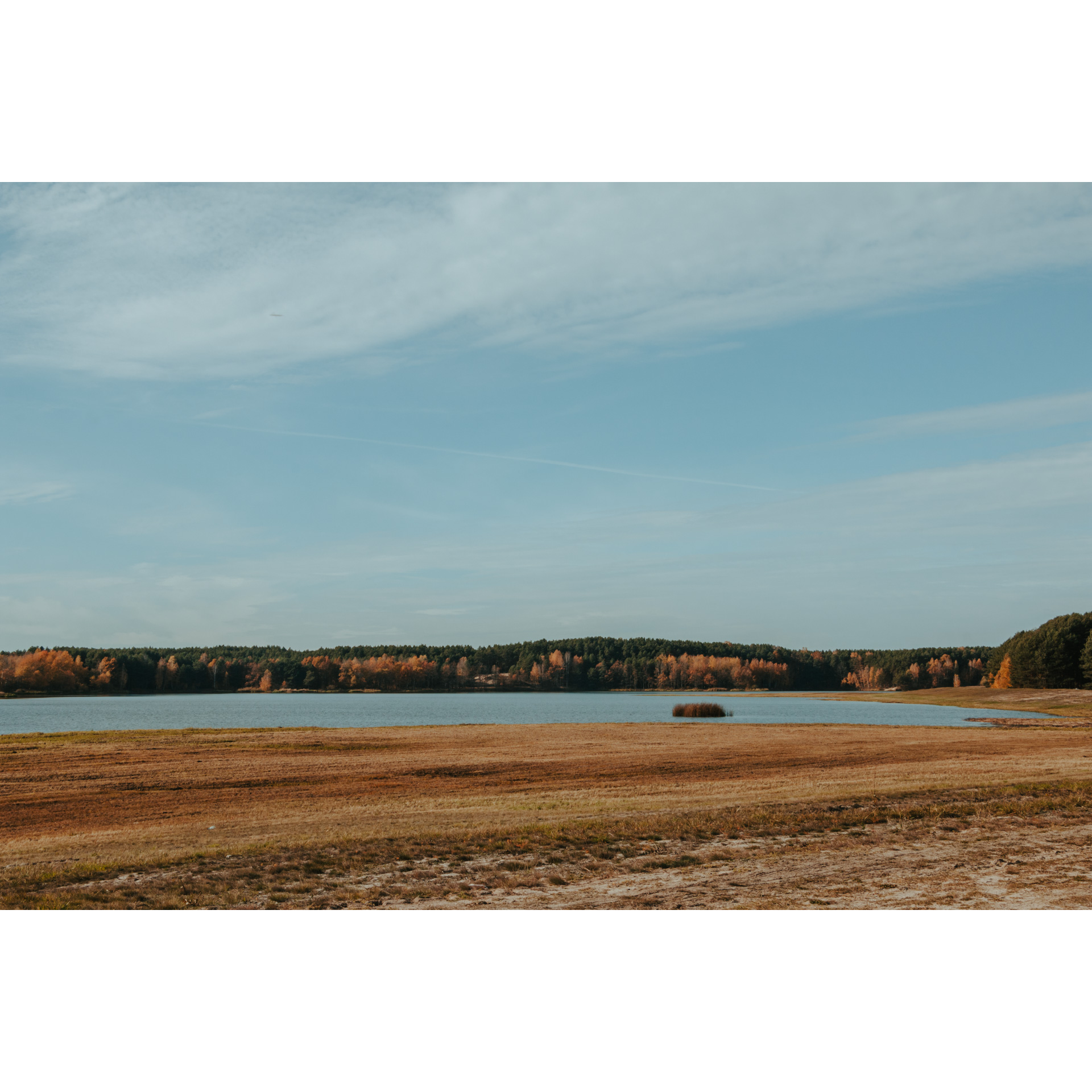
Turn left and after a few dozen metres, turn right. Follow Rzeszowska Street for 1 km. Before the campsite and car park, turn off the asphalt road onto a path visible on the embankment. This is where you will find the Maziarnia Reservoir.
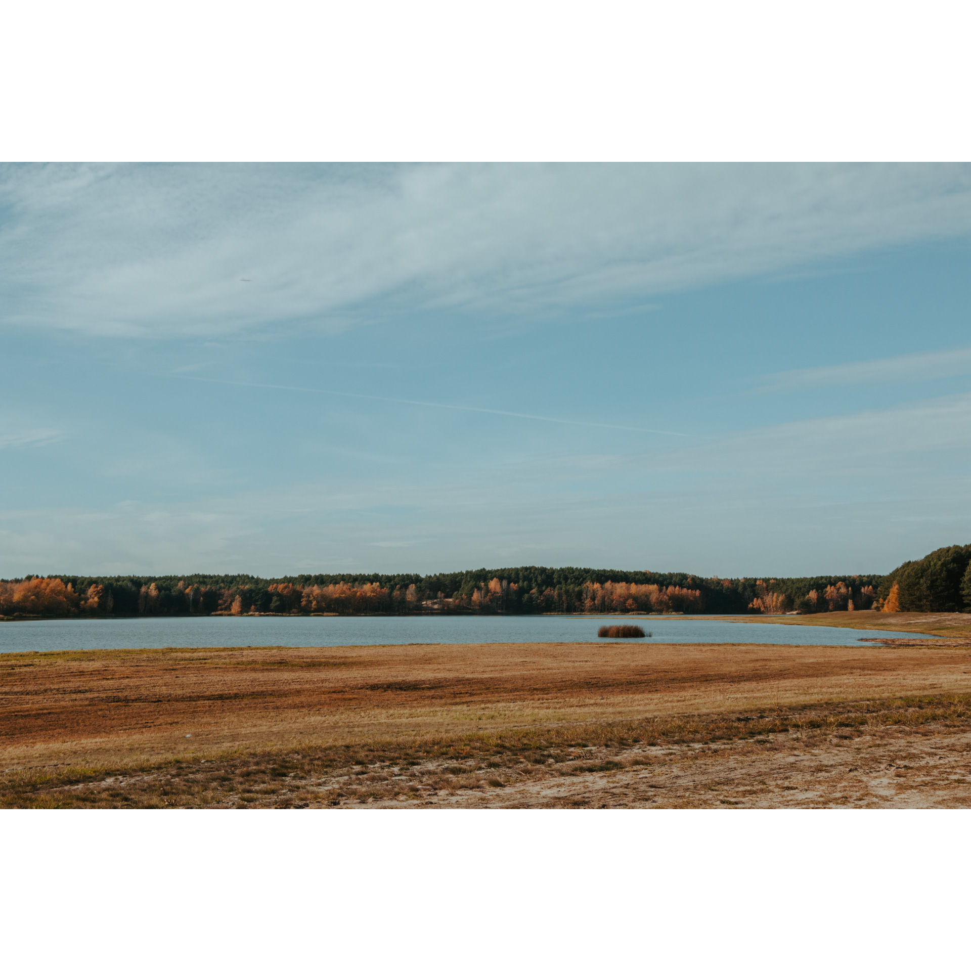
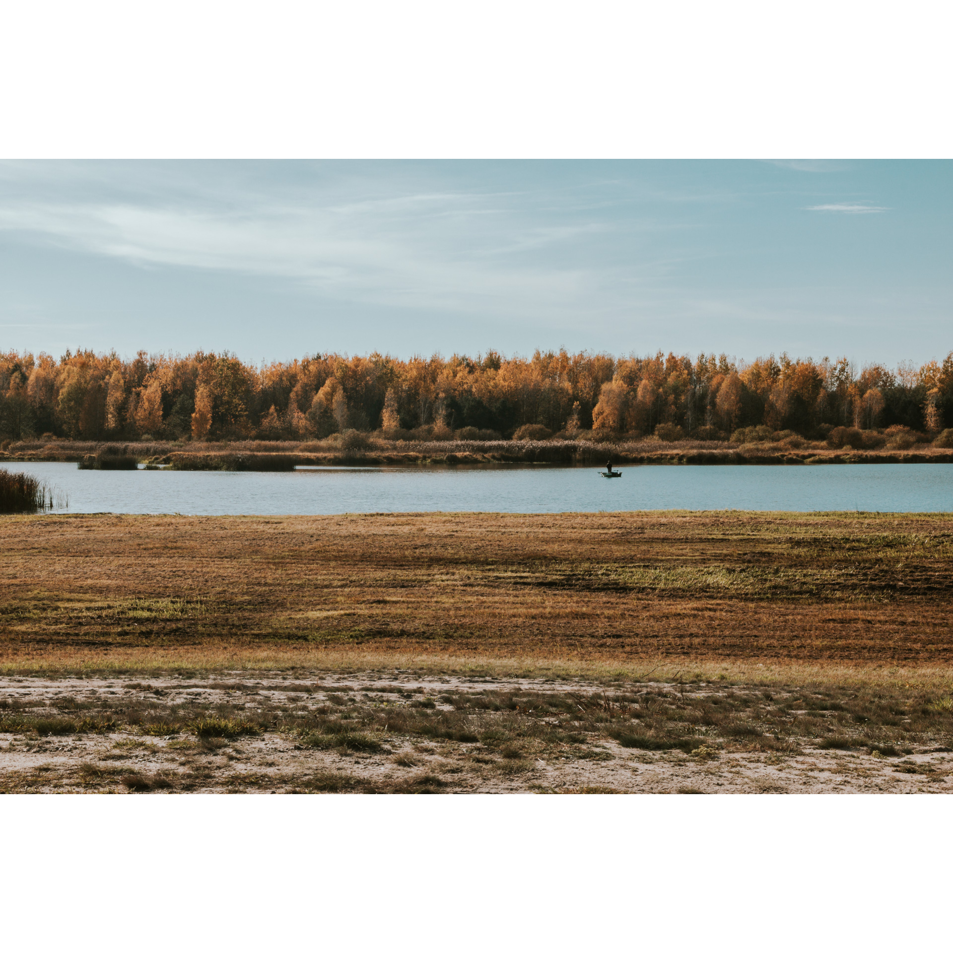
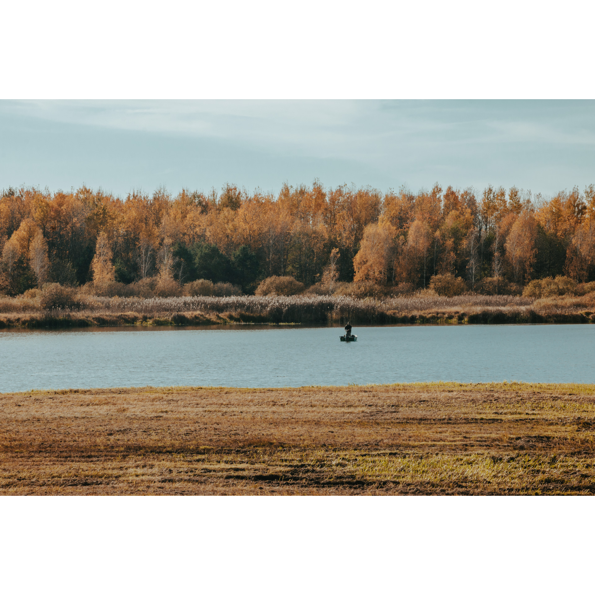
The Maziarnia Reservoir is a water reservoir in Wilcza Wola, which was created as a water retention tank. At present, it is used for recreational purposes, swimming, sailing, fishing, windsurfing and, in winter, iceboating.
- 4Maziarnia12.7 kmMaziarnia
Continue along the scenic path along the embankments for about 3 km. Along the way, you will pass swimming areas and resting places. When you reach the dam, turn right onto the asphalt road and turn right again in front of the Izba Rybacka restaurant. After about 200 m, turn left towards the village of Stary Nart.
- 5Klaudiuszówka16 kmKlaudiuszówka
After 2 km, turn right and continue along gravel forest fire road no. 30 and then no. 17 until you reach a distinctive chapel. Before it, turn right onto the fire road no. 7.
- 6Nowy Nart17.8 kmNowy Nart
Now follow the comfortable gravel road for about 4.4 km to a junction with an asphalt road. From here it is approx. 800 m to the car park in Morgi.
- 7Morgi23 kmMorgi
You have reached the starting point of the trip. Congratulations!
Attractions near this route
Gallery
Check other routes


