The Low Beskid
On difficult roads to forgotten places
XML, 1.35MB
About this route
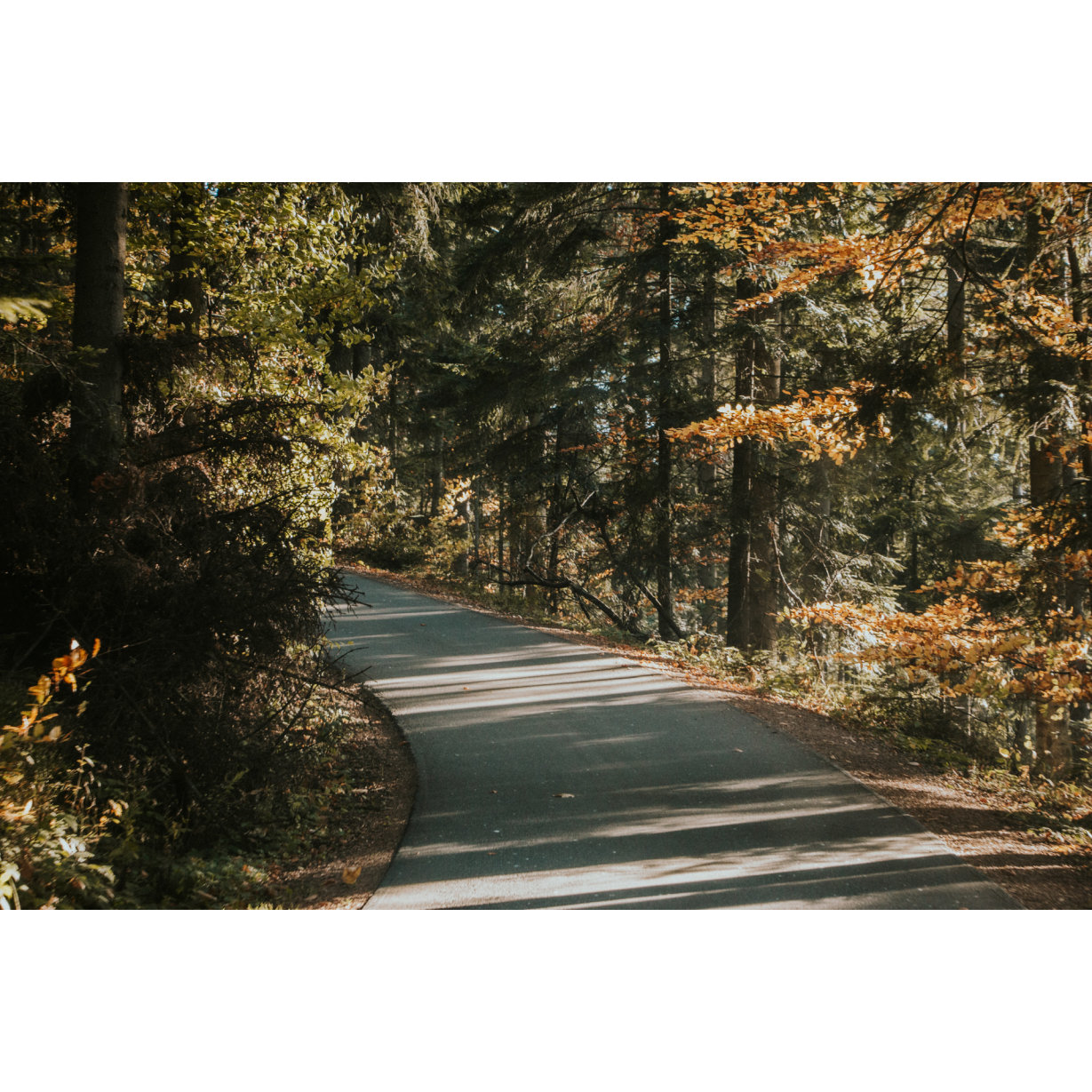
A demanding route not only in terms of length, more than 100 km, but also through difficult terrain and not always good pavement. It leads from one of the most famous places in Poland, the Solina Dam, to places that are forgotten and difficult to access. You will visit forest wildernesses among low mountains, and pass through extinct villages and towns with a difficult history. The route will leave you with unforgettable memories.
Practical advices
When preparing for a route, be sure to check the weather forecast. This will allow you to take appropriate clothing and limit your luggage as much as possible. However, it is well known that the weather can be unpredictable, so be prepared if it gets worse. It is good practice to pack a thin rain jacket that does not take up much space.
Before starting the route, carefully analyse it on a map. Consider whether your skills and equipment are adequate for the level of difficulty of the route.
Download the accompanying .gpx file so that you always have your navigation at hand. To make sure your device doesn't fail you, also bring a power bank, charger or spare batteries. If the weather changes, you may find it useful to have a waterproof case for your electronic equipment.
Be sure to take drinks and food with you on long journeys; you never know when you will get hungry. Remember that a shop or restaurant may be located a long way away. We recommend that you stock up on water, isotonic drinks, energy bars and snacks. This will make sure you don't lose the motivation to continue riding.
The absolute basis for safety is, of course, a helmet. Also, prepare yourself technically. Make sure you have adequate lighting on your bike. Pack a repair kit. Spare inner tubes, a pump, a multitool, all of these things can come in handy in the event of a breakdown, which of course you don't want!
Beskid Niski
Audiodeskrypcja tekstowa
Route details
Bóbrka – Baligród – Cisna – Żebrak Pass – Wołkowyja – BóbrkaStart
- 1Bóbrka0 kmBóbrka
Start your tour in Bóbrka near Solina, by the church, a former Uniate Tserkva. From the car park, go left to pass the sports field and the school. Go straight ahead to the bridge over the San by the monument to the Lesko peasant uprising. The insurgents in 1932 defied the oppressive and exploitative policies of the central and local authorities, resulting in 7 deaths and several hundred injured. From the bridge, the dry side of the Solina Dam, which towers over the valley, is perfectly visible. Drive through the village and head straight ahead, passing through a wooded hill. At the crossroads by the petrol station and chapel, turn right. In Myczków, you can take a moment to visit the Boyko Culture Museum, which reminds you of the former inhabitants of the region dispersed across Poland as part of Operation Vistula. You will reach Berezka, where you will turn left at the second crossroads past the river. You may take a moment to visit the ruins of a stone Uniate Tserkva near the cemetery. You will ride along the valley of the Bereźnica river, through the villages of Wola Matiaszowa and Bereżnica Wyżna. The surroundings are extremely picturesque, which you can admire during the trip, as well as stopping at viewpoints. From Baligród, you are less than 7 km from the forest. Turn left at the lumberjack car park, and then along the Olsza Kosa nature reserve, you will reach Baligród.
- 2Baligród24.5 kmBaligród
It is an old village, a former town, with a rich and difficult history. It was once inhabited by Poles, Ruthenians and Jews. All that remains of the latter is the Uniate tserkva and the Jewish cemetery near the centre. Both sites are under conservation care. The Jewish cemetery contains about 200 stone gravestones, while the tserkva is slowly being raised from its ruins after wartime destruction and years of abandonment as the headquarters of the Polish Army's Unician Field Ordinariate. Both wars left a strong imprint on the village, a remnant of which is the cemetery in the northern part of the village, where 5,700 Polish and Soviet soldiers killed between 1939 and 1945 are buried. Commemorating the battles of World War I is the museum chamber at Plac Wolności (the Freedom Square). In the centre of the park stands a T-34-84 tank as a memorial and testimony to the battles against the Germans and Ukrainian nationalists. Those who fell in battle against the latter are commemorated by a monument on the southern outskirts of Baligrod. Having left the village, head south to Bystre. Further on, you will pass Bystre, the defunct Łubne and Jabłonki, living quietly in the shadow of the "Woronikówka" and "Cisy na Górze Jawor" nature reserves. You will pass the World War I cemetery and enter the Carpathian beech forest. Pass through the sparse buildings of Habkowce. After 3 km, you will reach Cisna.
- 3Cisna40.5 kmCisna
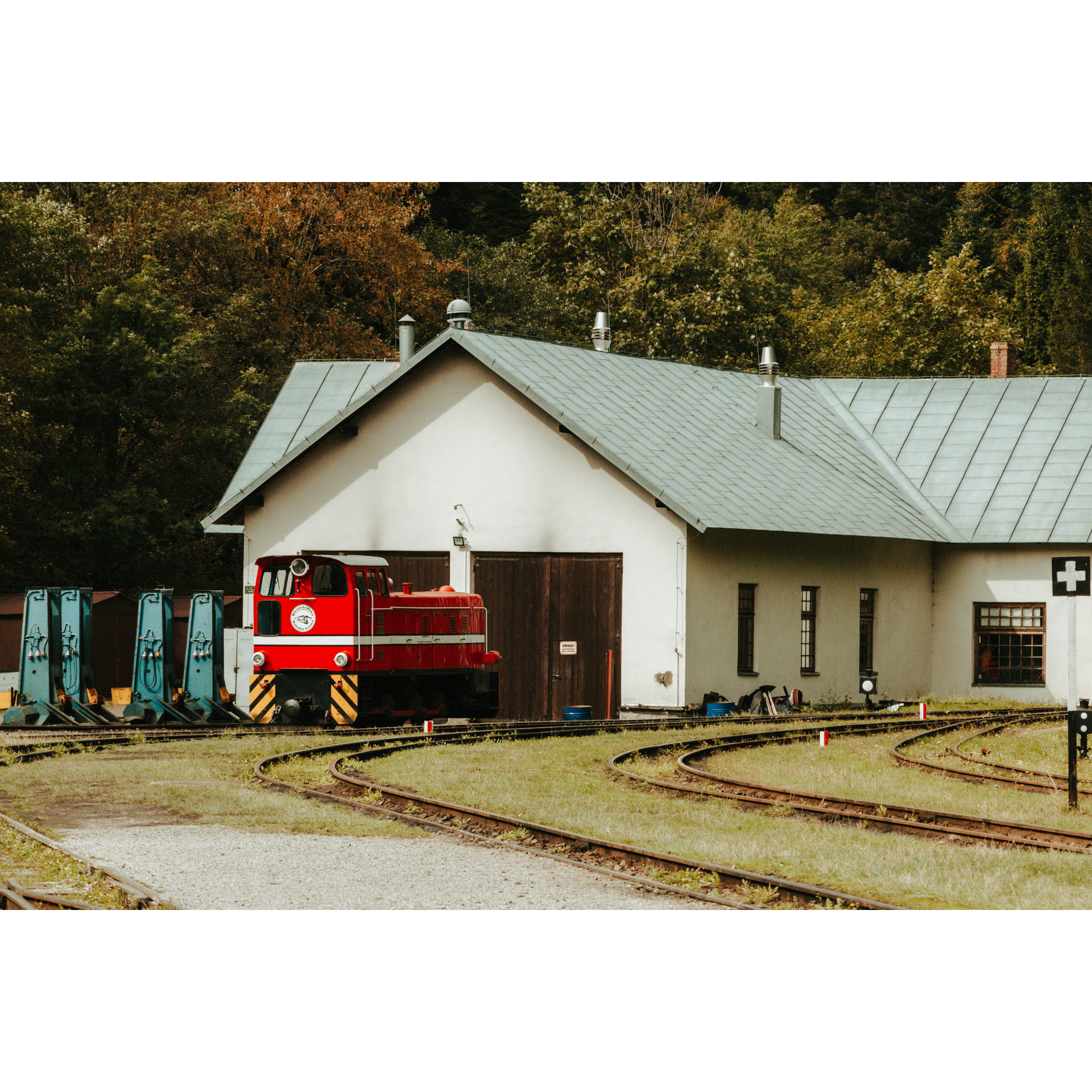
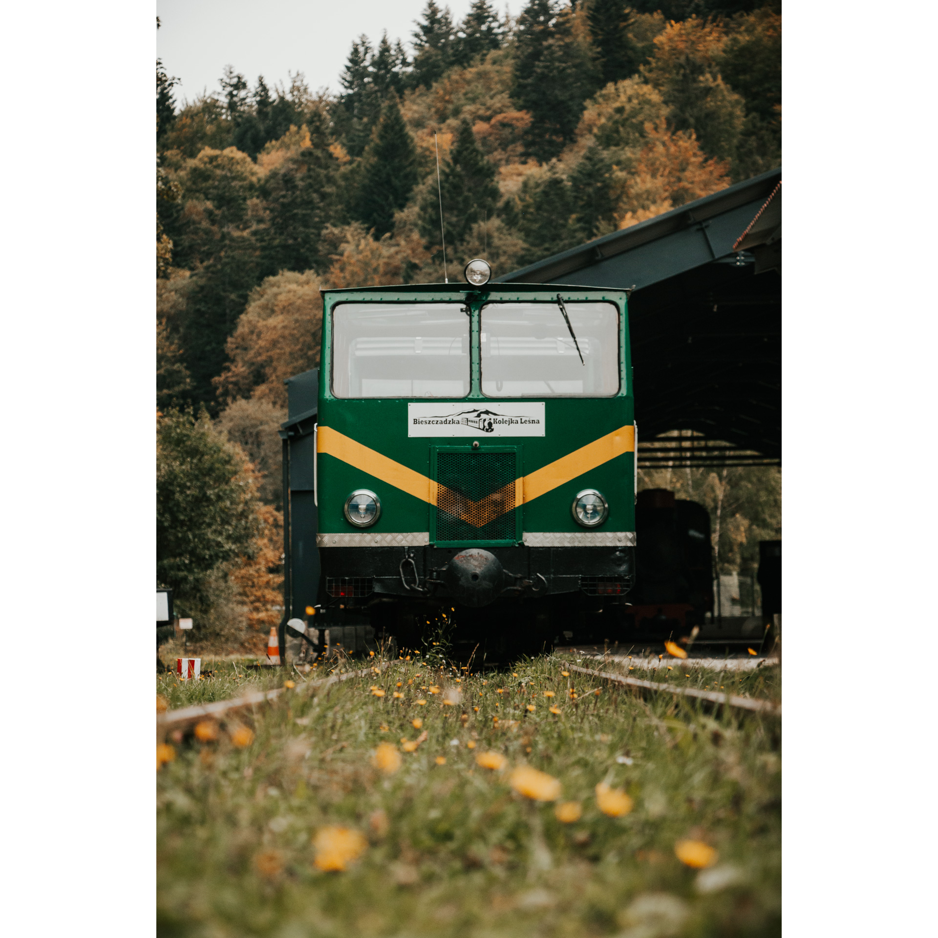
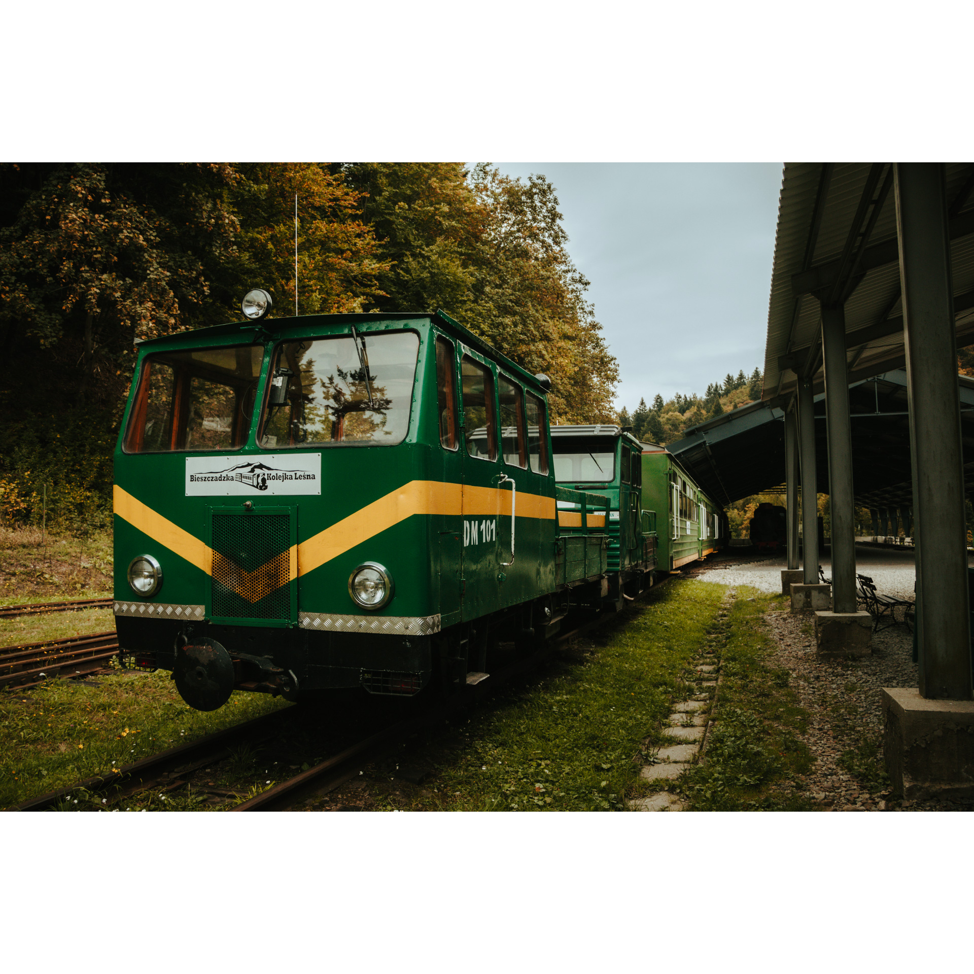
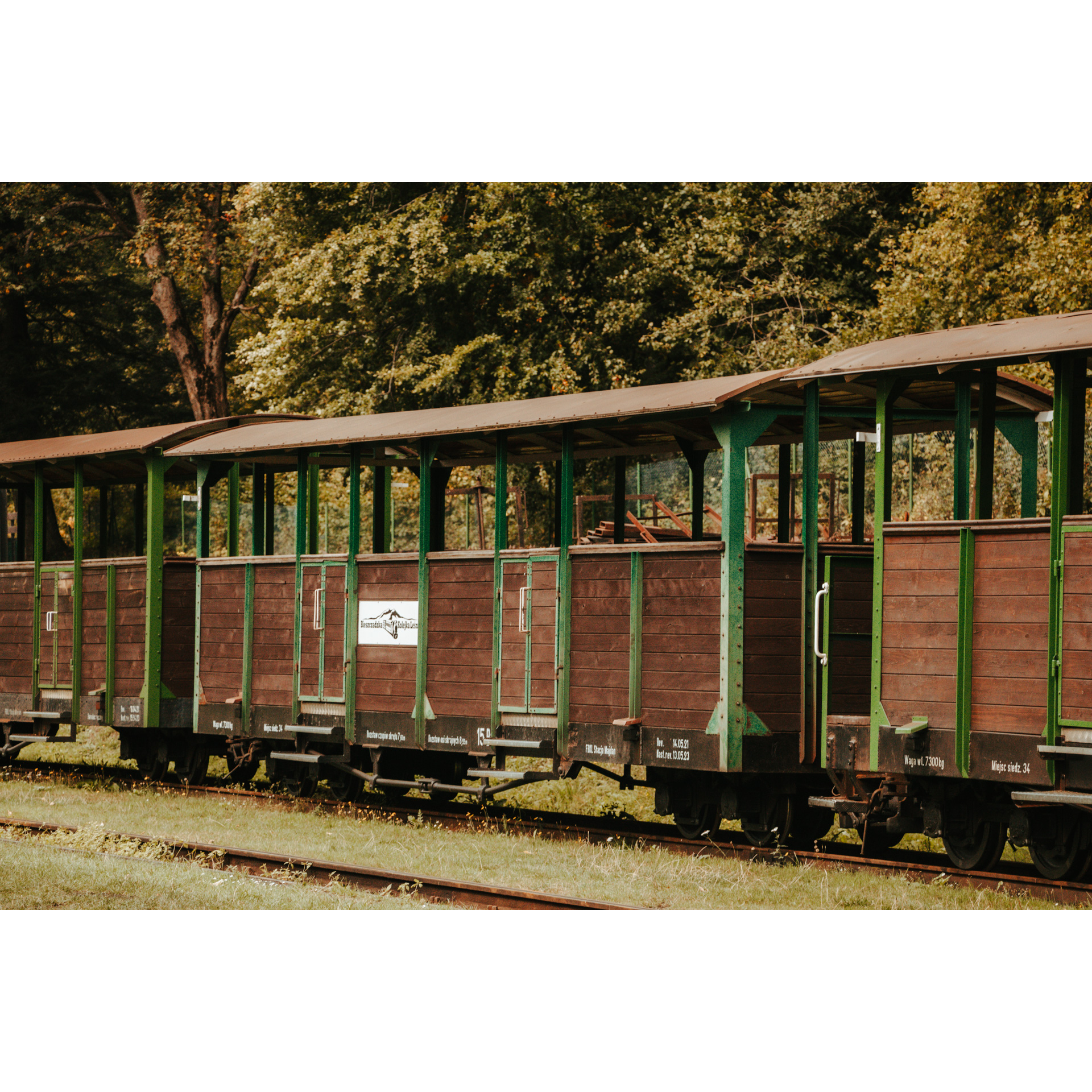
History lovers will notice two cemeteries in Cisna; a Jewish one and a war cemetery from the years 1914-1915. Beyond the village is Majdan with the station of the Bieszczady Forest Railway. It is a great monument not only for sightseeing, but you can also buy a ride on a 20 km long route leading through picturesque low mountains. Another point on the route is the Szczerbanówka lookout tower, which you reach via the village of Żubracze. The vantage point offers views of the highest peaks in the area, including Jasło and Małe Jasło, Połonina Wetlińska and Smerek. The descent from the hill ends in Maniów. An interesting point is a monument to the Home Army couriers, extremely important liaison officers between the country and the government in London, and the tserkva right at the entrance to the village. Turn right behind the wooden church in Wola Michowa and head north past the Jewish cemetery.
- 4Żebrak Pass61.5 kmŻebrak Pass
You will reach Żebrak Pass via an increasingly difficult road. Your route takes you by the bank of the Chliwny stream. You can rest in a tourist shed and take the path further north, which is in better condition. Make no mistake, the other paths are a red hiking trail, which is very demanding. Along the Hoczewka and Rabiański Stream, you will reach the gravestone of the Michalczaków family. Deep into the forest, 1200 m from its edge, there is also a war cemetery from 1914 to 1915, one of many in the area. Past the student hut and the rain shelter, continue along Rabiański Stream. Deep into the forest, 1200 m from its edge, there is also a war cemetery from 1914 to 1915, one of many in the area. You can visit the Goloborze nature reserve, where a rare slope covered with large stone fragments is protected. You will reach Bystry again, past the Aleksander Freda obelisk, turn left and again take the familiar road through Baligród. This time, however, turn slightly right at the fork. After 1 km, you will notice a tserkva with the remains of a cemetery. In Stężnica, take a rest by a small waterfall. The road continues past the destroyed church in the defunct village of Radziejowa, of which only a small cemetery and a cross, made of artillery shells, bayonets and rifle barrels collected here after the Great War, remain. You will reach Górzanka, Wola Górzańska and Górzanka after 3 km through the valley between the hills, and then Wołkowyja.
- 5Wołkowyja86.5 kmWołkowyja
Wołkowyja allows you to enjoy the view of the bays of Lake Solina and reminds you of the fights against Ukrainian nationalists with the monument by the road to Polańczyk. The route along regional road no. 894 is demanding, you can regain strength at the viewpoint. After passing Polańczyk, turn right at the familiar crossroads by the chapel and petrol station, heading straight for Solina and Bóbrka. Be careful on the road serpentines. At the red trail, you can rest at a designated spot overlooking the lagoon.
- 6Bóbrka103 kmBóbrka
Your tour ends in Bóbrka, at the church, the starting point, after 103 km.
Gallery
Check other routes


