Rzeszów and its surroundings
Villages near Rzeszów on the Dynów Foothills
XML, 102.27kB
About this route
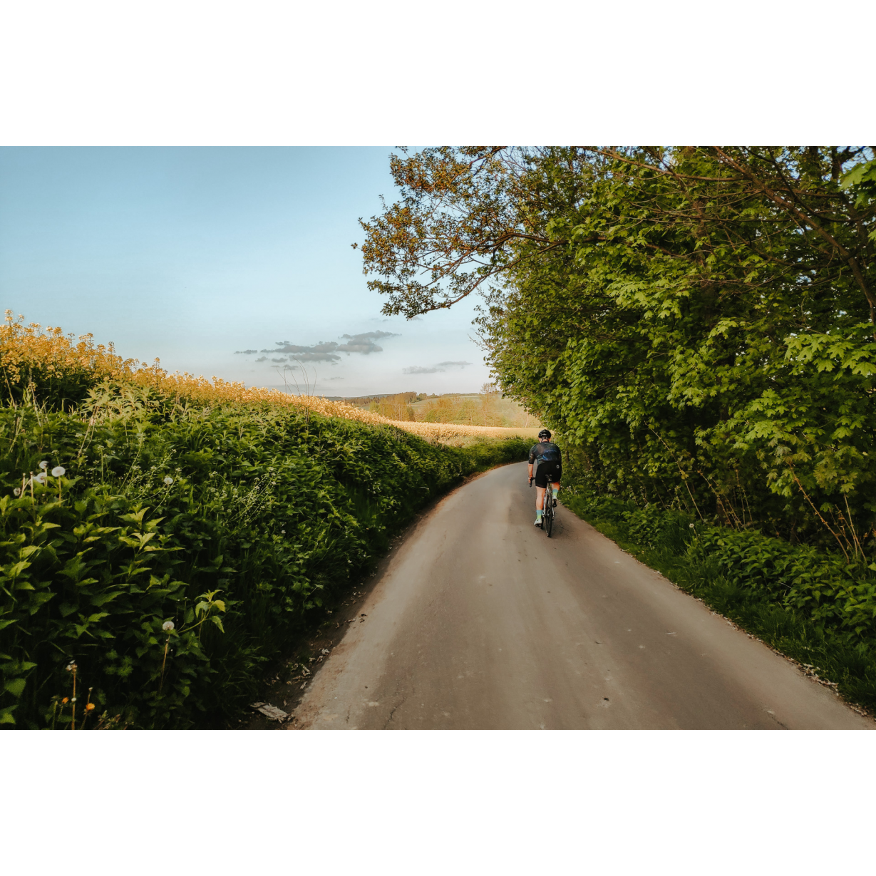
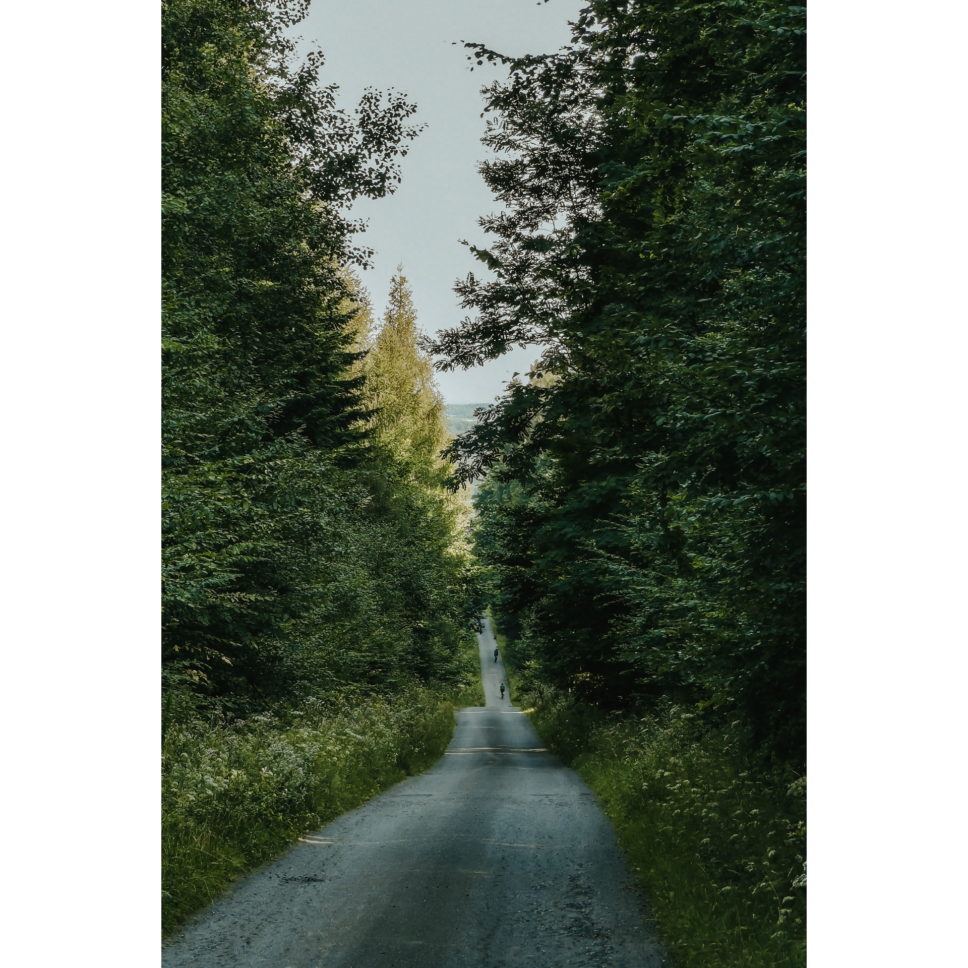
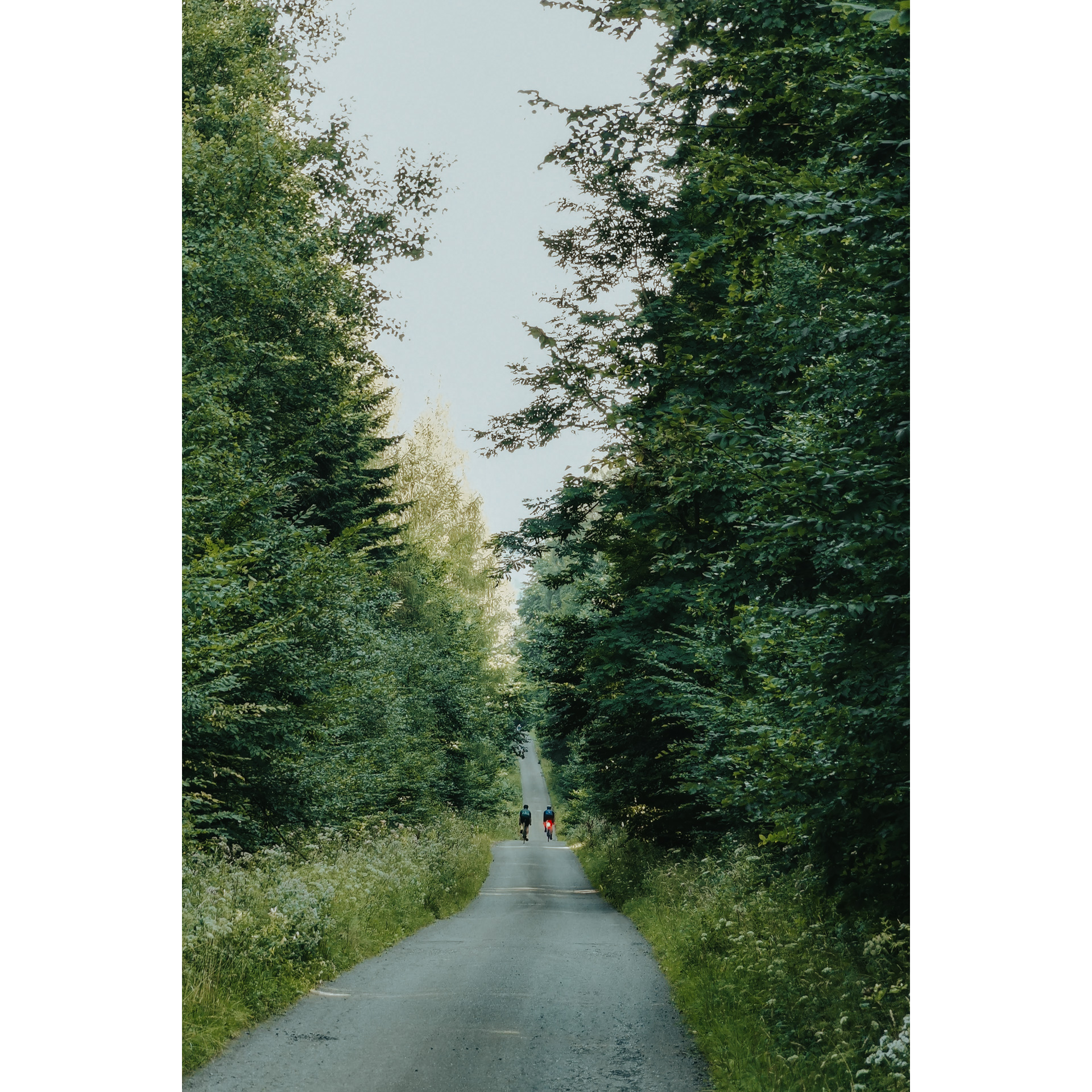
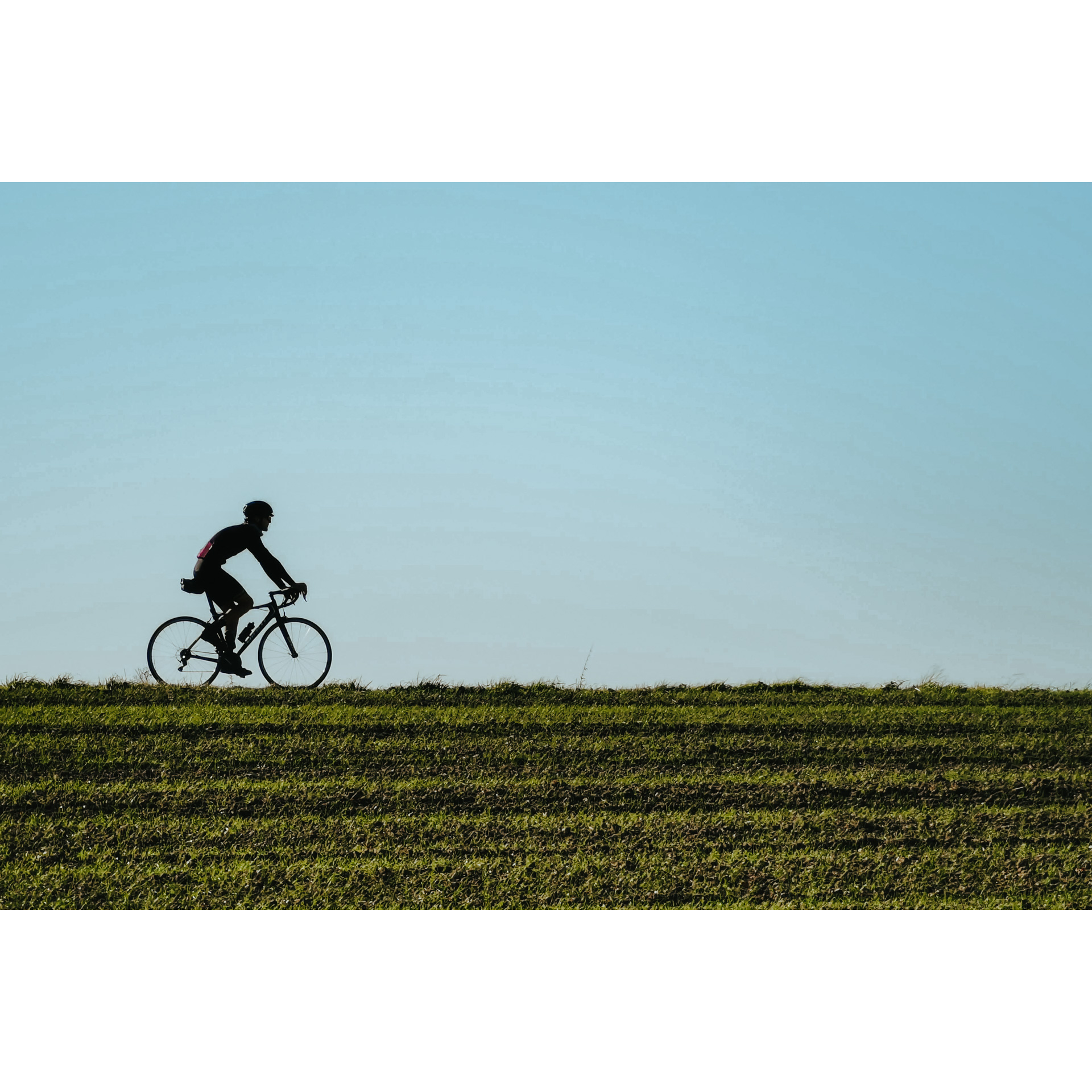
A route designed to showcase the landscapes of the Podkarpackie region, especially the Dynów Foothills located just outside Rzeszów. It is simple and easy, with little elevation gain and a selection of paved roads, making it more relaxing than demanding. You will pass through many villages near Rzeszów, stopping at chapels, roadside crosses and churches, and enjoy the air and atmosphere of the forests. Unforgettable views and vistas are provided by the route leading along the peaks and slopes of the hills. From some of them, you can even see the Tatra Mountains in good weather!
Practical advices
Although this route is not demanding, it is worth preparing for it properly, so that nothing surprises you at any point. Start with the most important thing, which is your helmet. A good helmet is essential for your safety. Take care also of proper lighting, both front and rear. In addition to bike lights, equip your bike with reflectors so that you are highly visible on the road.
What else is worth taking with you on a trip? Make sure to pack a sweatshirt or a rail jacket in your backpack, in case the weather changes. It is also a good idea to bring snacks to give you energy during the trip. Protein bars or energy mousses work well.
If you plan to take visit the attractions along the route, you will need to leave your bike behind in some places. To make sure it is still there after the tour, be sure to bring a bike safety device such as a U-Lock or any bicycle lock.
Rzeszów and its surroundings
Audiodeskrypcja tekstowa
Route details
Rzeszów – Błędowa Tyczyńska – Handzlówka - RzeszówStart
- 1Rzeszów0 kmStal Rzeszów Stadium
Start the trip at the Stal Rzeszów stadium. Head east to the boulevards on the left side of the Wisłok, and cross the footbridge. The path will lead you to Podwisłocze Street, turn left there to reach Major Kopisto Avenue. Continue straight until you reach Mieszka I Street. Turn right, cross Armii Krajowej Avenue and Paderewskiego, Powstańców Wielkopolskich and Św. Rocha streets, then go through the entire Słocina housing estate. After about 11 km from the starting point, turn a sharp left into a winding road past a bridge over a culvert. After another 1 km, turn right. When you enter between the first buildings of Chmielnik, turn left and follow the road north. You will pass through a forest and past a roadside statue. At 16.5 km, turn right and repeat the manoeuvre after 700 m at a junction with a bus stop. Further on, the road will lead you past a chapel by a stately oak tree and an information board with a rest shelter.
- 2Błędowa Tyczyńska21.5 kmBłędowa Tyczyńska
After the Stary Dąb (Old Oak), a natural monument, and the church next to it, cross the crossroads and turn right into regional road no. 877, behind a small forest. Follow it to the building of the Błędowa Tyczyńska fire station, where you turn left. At the next junction, head south and at the bifurcation by the Chmielnik stream, turn sharp left. Then keep right. You will come to the ponds at Tarnawka and the St. Hubert chapel. Just past it, turn left and follow the road through the forest. After 3 km, turn right onto an asphalt road and follow it to the northern outskirts of the village of Tarnawka. Do not go towards the centre of the village, instead turn left to reach the crossroads by a wide curve. As you drive along the road on the crest of the hill, you can admire the views that stretch very far. It is worth stopping at the viewpoint overlooking the Tatra Mountains. Then go down a slight slope and follow the signpost to Handzlówka.
- 3Handzlówka41 kmHandzlówka
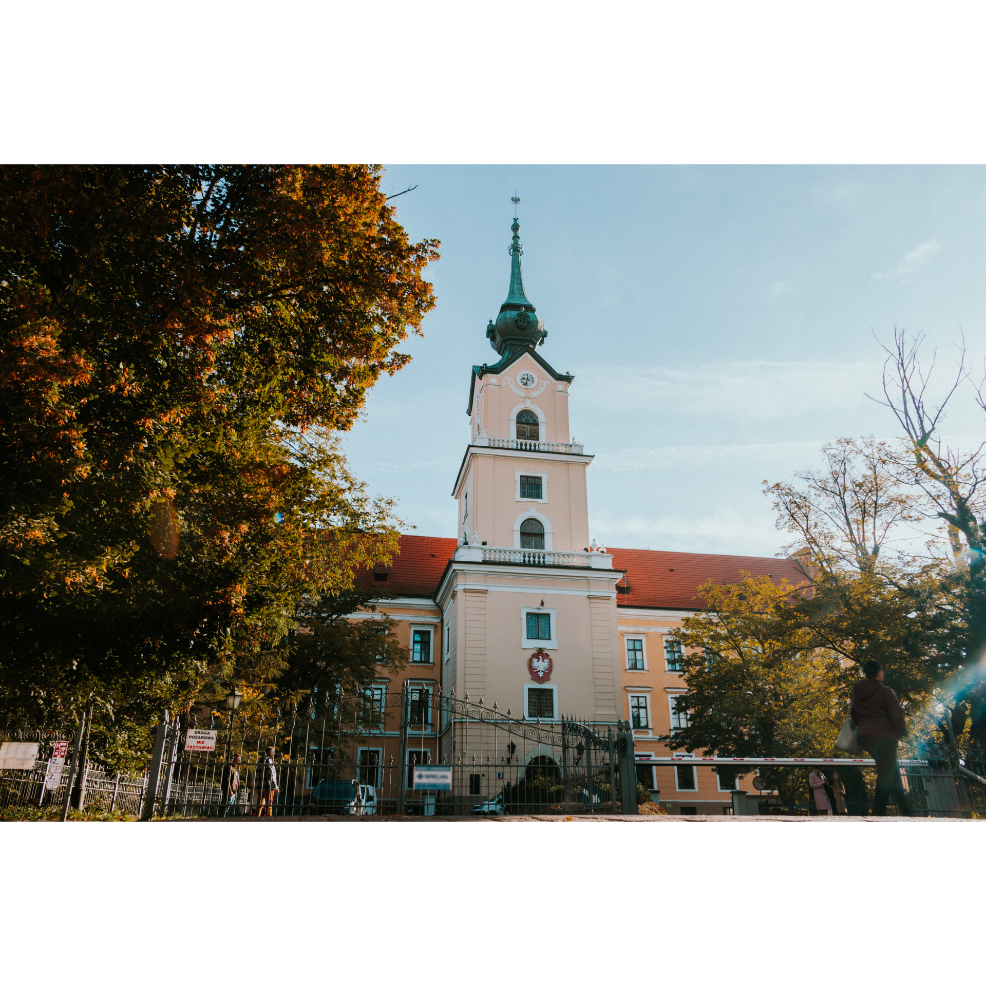
Turn right onto the main road of the village. You can rest in a small park or further on, by the church in Albigowa. At the old mill, turn left towards Kraczkowa and Malawa. Follow the main road west, which in Rzeszów will become Słocińska Street. When you reach the capital of Podkarpackie, turn into Powstańców Wielkopolskich Street and then Ignacego Paderewskiego Street. Take the familiar route through Mieszka I Street to Niepodległości Avenue and Major Kopisto Avenue. Stop at the Zamkowy Bridge overlooking the Castle. It is a building younger than it seems, but with an interesting history as its roots go back to the 17th century. On the other side, you will notice a low, modernist structure. This is the Podpromie Hall, the training place of the Asseco Resovia Rzeszów volleyball team, one of the most successful in Poland. Note its architectural form, reminiscent of a tented sheet stretched and fixed to the ground by cables. Turn off the bridge into Kilara Street, then turn left into Podpromie and Hetmańska Streets.
- 4Rzeszów65.5 kmRzeszów
Your journey ends at your starting point in Rzeszów, at the Stal Rzeszów stadium.
Attractions near this route
Gallery
Check other routes


