The Low Beskid
Rural landscapes south of Jasło
XML, 63.20kB
About this route
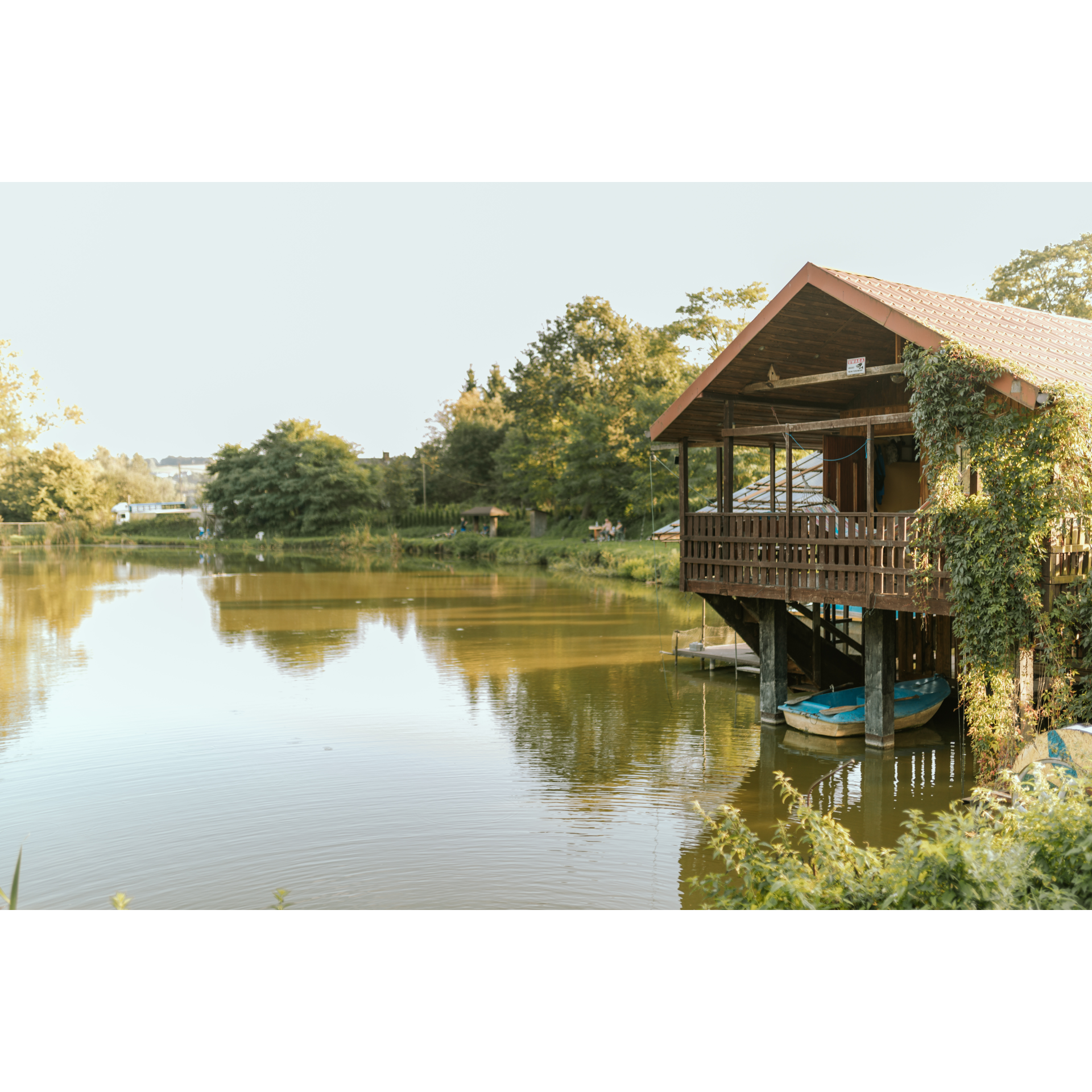
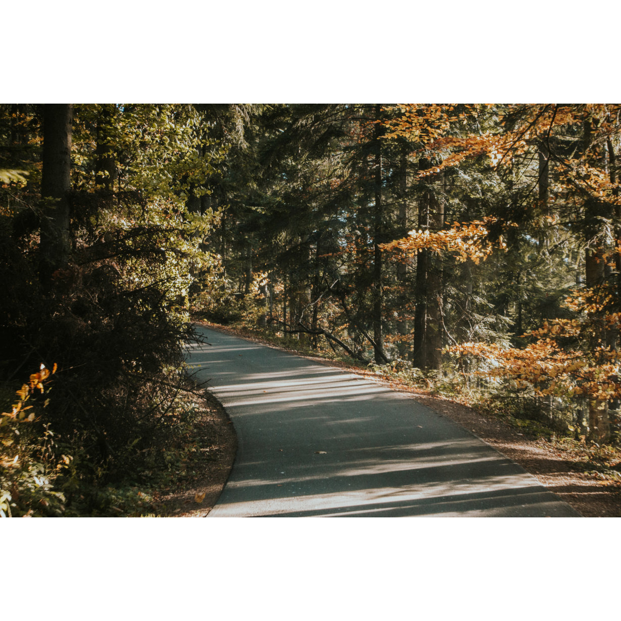
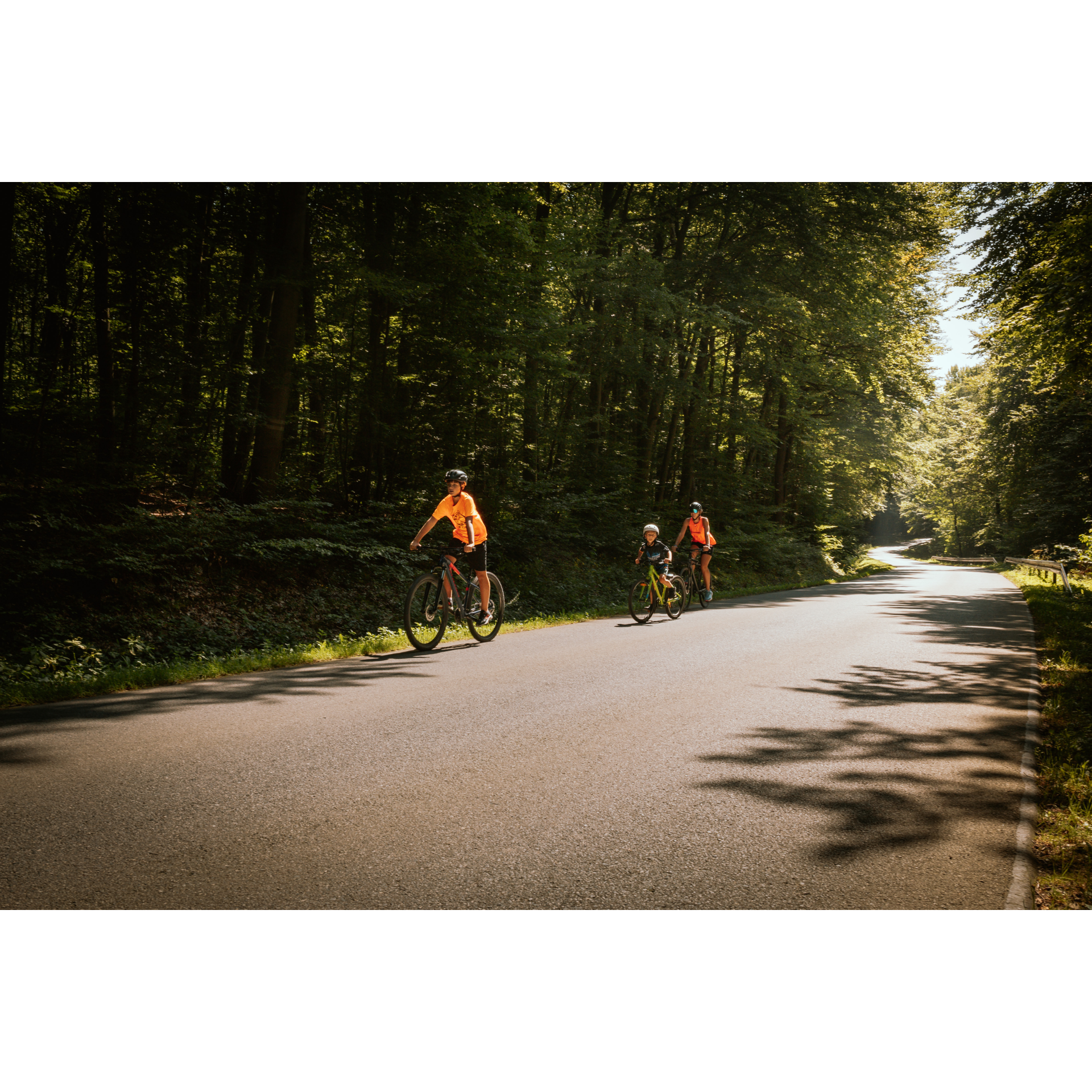
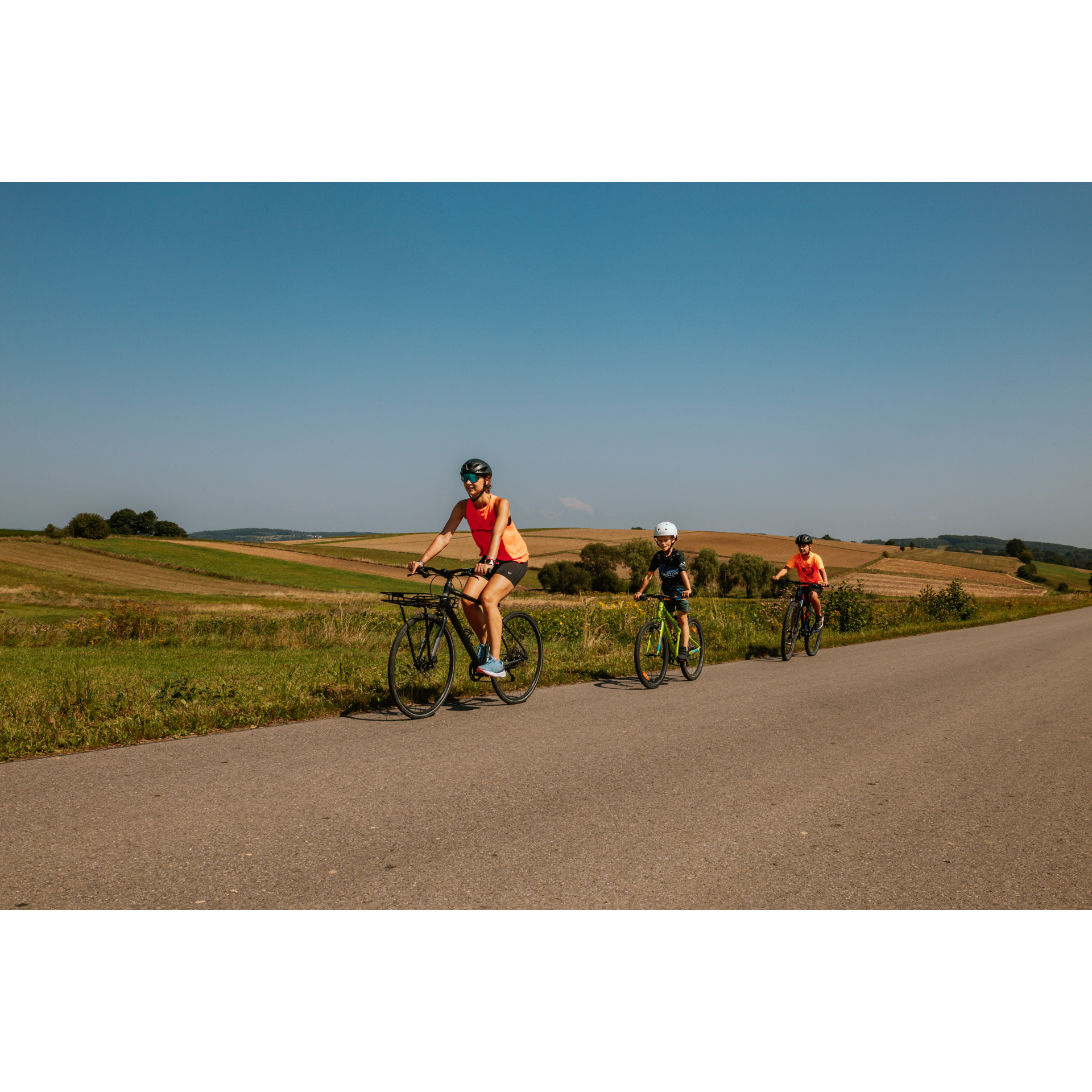
The route is definitely scenic, leading through villages, fields, and forests south of Jasło. It is moderately demanding, but rather relaxing. It is worth taking this route for the sheer satisfaction and discovery of new areas, although there are not many landmarks as such on it.
Practical advices
A route with a moderate level of difficulty will allow you to test your fitness. Remember that the terrain has a huge impact on how many kilometres you can cover. Trails on flat roads are less strenuous than those on hills or mountain roads.
Planning a group trip? Match the route to the fitness of the weakest participant.
A helmet and light clothing made of breathable materials will be essential for safety and comfort on the route. Other than that, only put on the essentials. Heavy luggage will make your ride more difficult. Also, think about what you will carry the necessary items in. We suggest a backpack or panniers for your bike.
Be prepared for possible breakdowns on the route. It is a good idea to carry the most important tools for a quick fix, such as inner tubes or patches, a pump or a multi-tool. Make sure you have enough water and food, as well as navigation equipment.
Is it looking like a warm and sunny day? Remember sunscreen and sunglasses. If you are planning sightseeing or other activities along the route, a bike lock will also be very useful. Before you leave, carefully examine your route for the trip. Consider whether your skills and equipment are adequate for the level of difficulty of the route.
Beskid Niski
Audiodeskrypcja tekstowa
Route details
Jasło – Tarnowiec – JasłoStart
- 1Jasło0 kmJasło
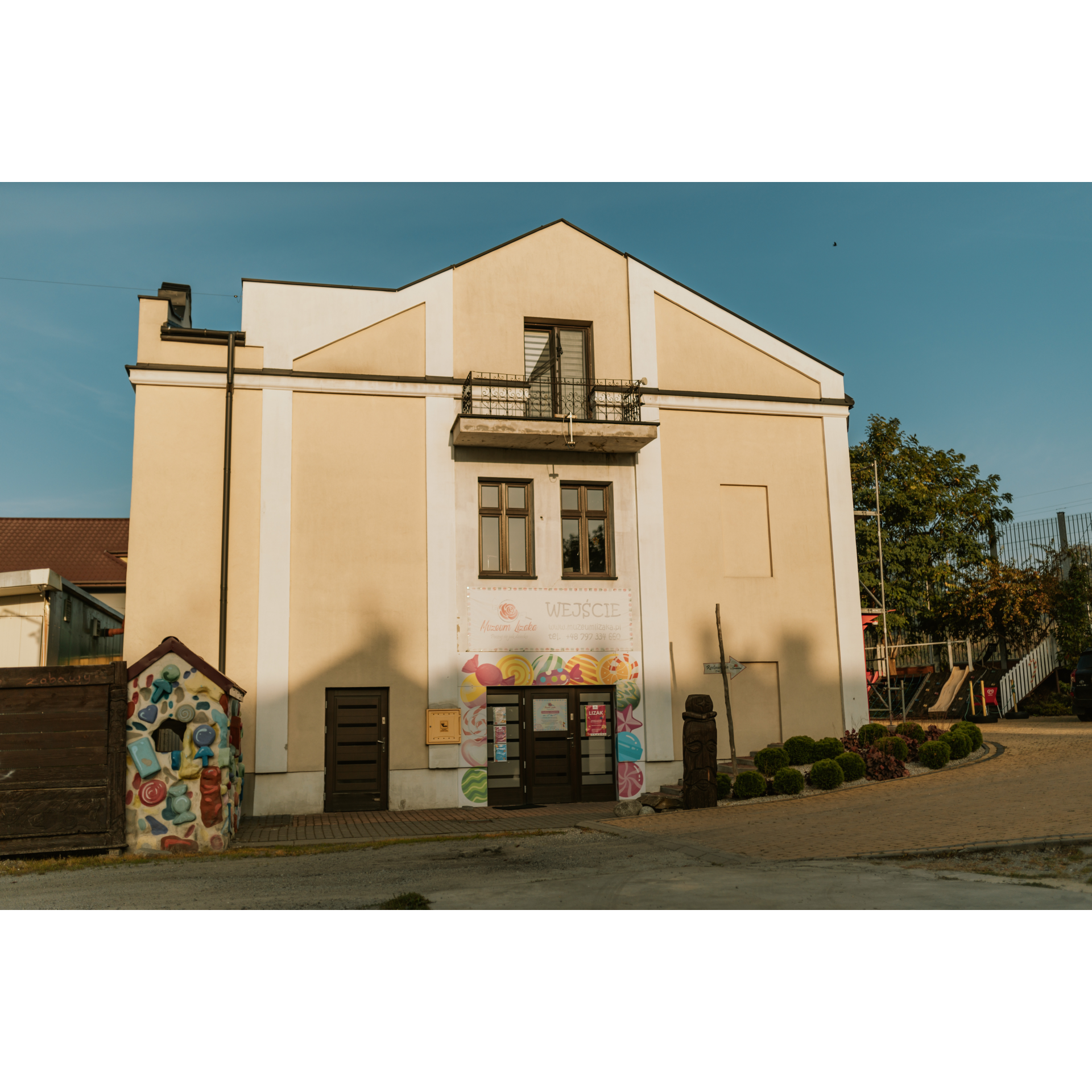
Set out from the railway station to the right, pass through the roundabout, staying along the railway line and reach the intersection with Floriańska Street, where you turn right to pass under two railway viaducts. Along the way, you passed the Lollipop Museum - the only institution in Poland that documents the achievements of Jasło's confectionery industry. Stick to Floriańska Street, taking the third exit at the roundabout. In the grove, there is a Jewish cemetery worth visiting to learn about the history of this place and the Jews of Jasło. At the next major intersection, turn left towards Zręcin. You will continue through suburban single-family housing. The first village you will enter is Wolica. Cut through it, and likewise through Czeluśnica located behind it, without changing direction. Beyond the cemetery at the fork, stay on the left-hand side. Small hills offer a good view of the surrounding hills. By a clump of trees near the culvert over the canal, crosses and a commemorative stone stand on opposite sides of the road, time and rain have already worn away the inscription. This is a rare local reminder of the visit to Galicia by Emperor of Austria and King of Hungary Franz Joseph I, undertaken in 1851. From here, you are not far from Tarnowiec.
- 2Tarnowiec9.2 kmTarnowiec
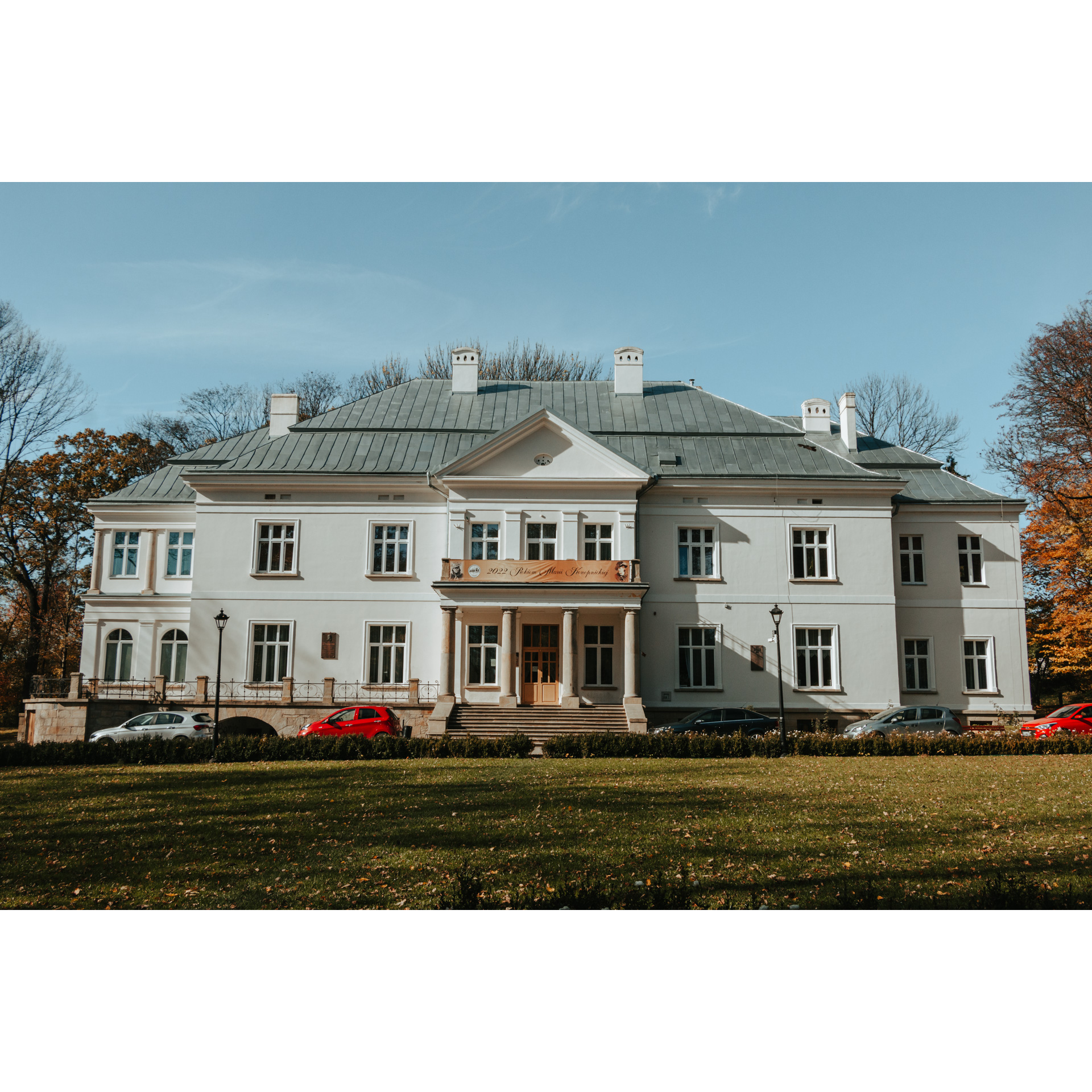
As you enter the village, it is worth remembering that there is a well-kept Neo-Gothic church here - the Sanctuary of Our Lady of Trust, as well as a manor house with a park. The manor is maintained in Polish style, with an entrance in the axis of symmetry and a portico supported by several columns. Turn right at the village square. This road will take you to the outskirts of Wrocanka. At the 10.9 kilometre point of the route, turn left into a road by the grove. You will reach Potakówka. Pass through it without turning. You will then find yourself in a forest, beyond which is the village of Chlebna. At the larger intersection, turn right, heading south. You will spend almost 5 km in this village before entering the forest on a hill. A gentle descent will take you to Glinik Polski. At the first intersection, turn right, at the second, turn left towards Nowy Glinik. Nowy Glinik was once called Glinik Niemiecki, which was a remembrance of its founding by colonists brought here in the 12th century and its subsequent location under German law. Before World War II, the name was changed to Glinik Górny, and after it to Glinik Nowy and finally to Nowy Glinik. Turn right at the firehouse. You face a steep climb up the hill, where you will enter the forest. One and a half kilometres of riding will take you to the village of Łaski. Continue straight along the main road. The village buildings will smoothly transition into single-family estates in southern Jasło. You will reach an intersection along Sobniowska Street, which you already know. Turn left onto Floriańska Street. You will reach a roundabout, take the first exit and exit onto Piłsudskiego Street under the railway viaducts to the left. Going straight ahead on this road, you will reach the starting point.
- 3Jasło32.8 kmJasło
Your trip ends near the starting point. Perhaps you would like to eat and drink something? It would be best to head to the nearby market square.
Attractions near this route
Gallery
Check other routes


