Roztocze
In the vicinity of Cieszanów
XML, 65.87kB
About this route
This tour will be suitable for those who appreciate active recreation in nature. The loop, which starts and ends in Cieszanów, leads through the Roztocze fields and forests, where you can meet stone Brusno crosses and old wooden tserkvas. These elements of the landscape are directly related to the culture and tradition of the Podkarpackie part of the Roztocze, as you will be able to see during the ride. Most of the route coincides with the already marked red cycle trail, where you will also find several resting places.
Practical advices
A route with a moderate level of difficulty will allow you to test your fitness. Remember that the terrain has a huge impact on how many kilometres you can cover. Trails on flat roads are less strenuous than those on hills or mountain roads.
Planning a group trip? Match the route to the fitness of the weakest participant.
A helmet and light clothing made of breathable materials will be essential for safety and comfort on the route. Other than that, only put on the essentials. Heavy luggage will make your ride more difficult. Also, think about what you will carry the necessary items in. We suggest a backpack or panniers for your bike.
Be prepared for possible breakdowns on the route. It is a good idea to carry the most important tools for a quick fix, such as inner tubes or patches, a pump or a multi-tool. Make sure you have enough water and food, as well as navigation equipment.
Is it looking like a warm and sunny day? Remember sunscreen and sunglasses. If you are planning sightseeing or other activities along the route, a bike lock will also be very useful. Before you leave, carefully examine your route for the trip. Consider whether your skills and equipment are adequate for the level of difficulty of the route.
Discover Roztocze
Audiodeskrypcja tekstowa
Route details
Cieszanów – Nowe Sioło – Podemszczyzna – Nowe Brusno – Chotylub – Gorajec – Kowalówka – CieszanówStart
- 1Cieszanów0 kmCieszanów
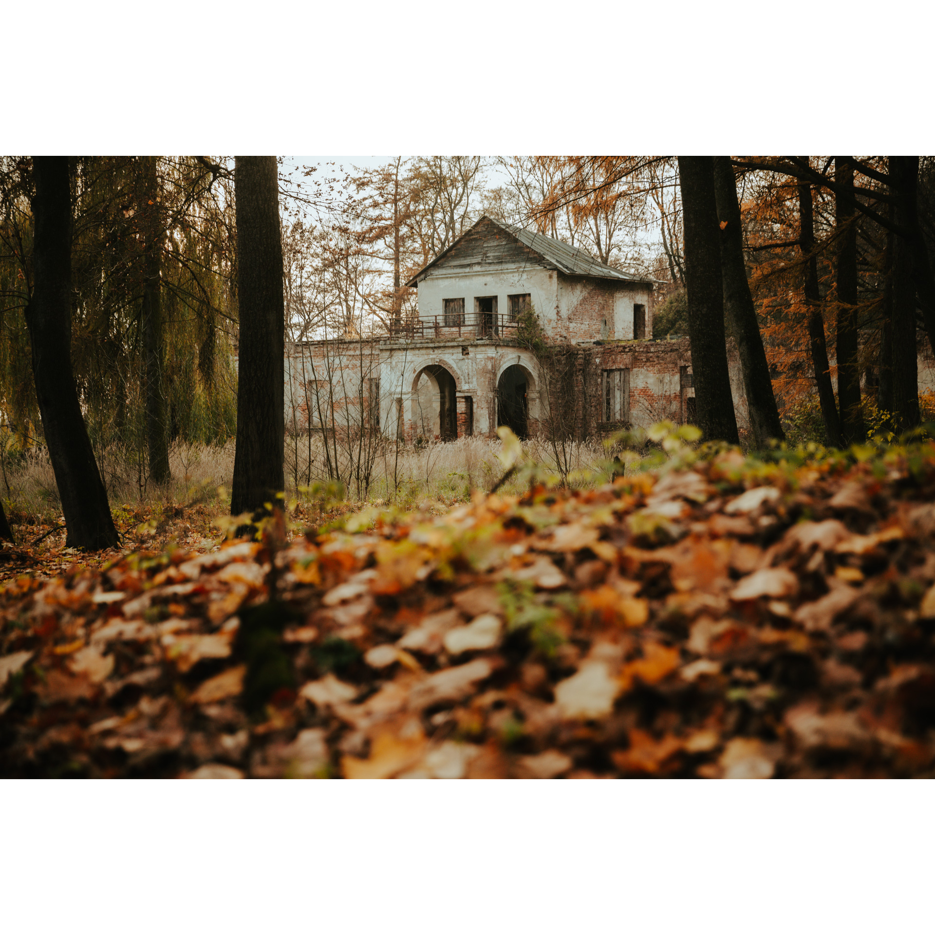
Start this cycling tour at the car park at the Wędrowiec recreation complex on the outskirts of Cieszanów. From the car park, follow the main road along the ponds on the Brusienka River. On your right, you will see the former Gnoiński Manor House, which dates back to the first half of the 19th century. When you pass the former buildings, turn right at the crossroads, then go straight ahead and turn left towards Nowe Sioło.
- 2Nowe Sioło2 kmNowe Sioło
In Nowe Sioło by the roadside, you can admire the former brick church. Go straight towards the Jedlina Nature Reserve. It lies within the village and borders the Roztocze Protected Landscape Area. Its purpose is to protect old fir trees. The oldest fir trees here are up to 150 years old! Rare mountain plant species, such as the aposeris foetida or the red elderberry, can also be found in the reserve.
Along the way, you will see many stone crosses, which are a characteristic sight in this part of Roztocze. These are mementoes
of the local stonemasonry of the Brusno region. There will also be an opportunity to rest at the forest car park with a shed and a fire pit.
After visiting the reserve, go straight on towards Podemszczyzna. To get there, turn left at the nearest crossroads.
- 3Podemszczyzna12.3 kmPodemszczyzna
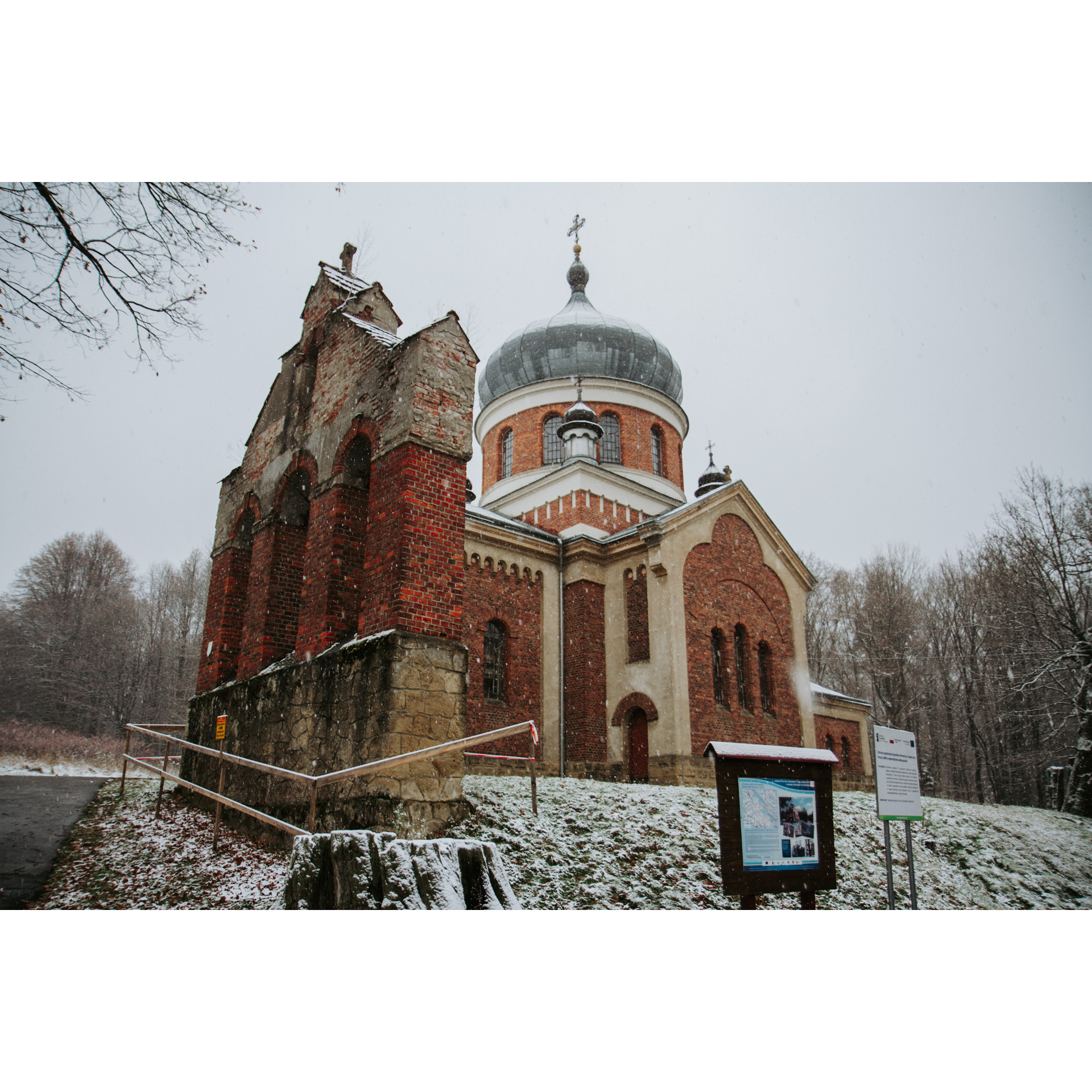
Now ride in the direction of New Brusno. You will pass a few crosses on the way. When you reach a bifurcation of roads, you will see a tserkva with the ruins of a bell tower. Take the road on the right and follow the forest path to Nowe Brusno. You will be accompanied by the blue hiking trail
- 4Nowe Brusno16.6 kmNowe Brusno
Nowe Brusno is a village where it is worth stopping to see the wooden tserkva of St Paraskeva. This temple was built in the first half of the 18th century. Until 1947, it was a filial church belonging to the parish of Stary Bruśno. Unfortunately, it later became deserted and was not used for many years. It was not until the second decade of the 21st century that restoration work was carried out and it was restored to the form known from the 19th-century drawings. Currently, the church is owned by the Museum of the Eastern Borderland in Lubaczów.
When you see the tserkva at the crossroads, turn left and go straight ahead, passing more stone crosses on the way. When you reach the intersection where there is a serfs' cross from 1848, go straight along the Icon Trail until you reach the village of Chotylub.
- 5Chotylub23.5 kmChotylub
Chotylub is a village that was abandoned after World War II. At one time, almost half of its population were Ukrainians. By the roadside, you will see the 19th-century wooden Greek-Catholic tserkva. Past it, there is a crossroads where you turn right and then left in the village of Dąbrówka. At the next crossroads, you will see the Siberian shrine. Take the road on the right and follow it to Gorajec.
- 6Gorajec28.8 kmGorajec
In Gorajec, it is worth stopping at two points, located a short distance from each other. The first of these is Chutor Gorajec. It is an agro-tourism farm, a centre for culture and the cultivation of traditions. However, as the hosts themselves emphasise, it is above all a meeting place for wonderful people. Every year in July, the "Folkowisko" festival takes place here. Across the road is the Church of the Nativity of the Virgin Mary. The church dates back to the end of the 16th century and is considered one of the oldest monuments of wooden sacral architecture in Poland. It was originally an Orthodox tserkva, then a Greek Catholic tserkva, and is now a Roman Catholic branch church.
After visiting these attractions go straight on, turn left at the crossroads and then right. Continue straight for approximately 3.5 km. When you reach the junction with regional road no. 865, turn right into it. In Kowalówka, you will come to a junction with the second regional road no. 864, into which you should turn. Drive straight on for about 2 km, then turn left and head on to Cieszanów.
- 7Cieszanów42.3 kmCieszanów
Your route ends at the starting point.
Attractions near this route
Gallery
Check other routes


