Rzeszów and its surroundings
Hills and forests of Błażowa and Chmielnik
XML, 105.28kB
About this route
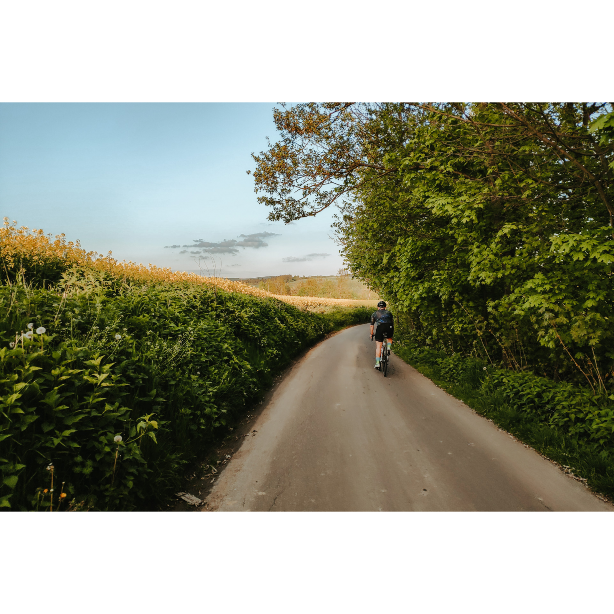
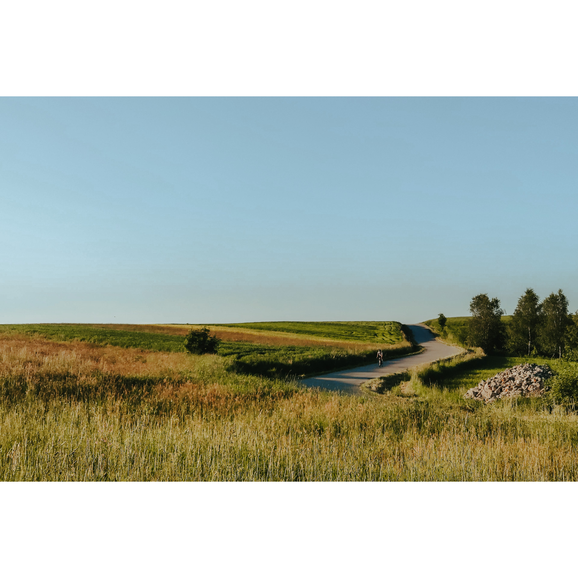
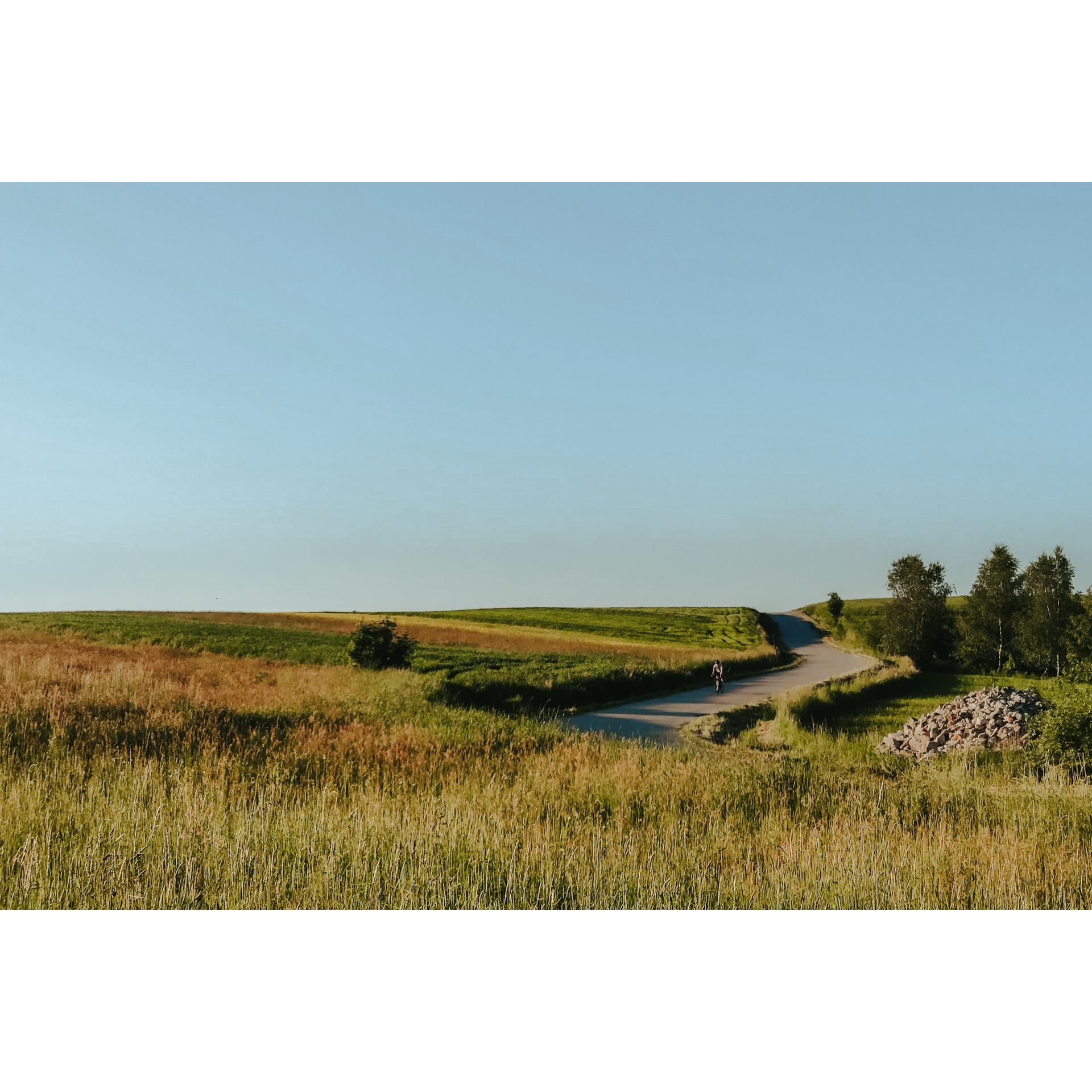
A simple, recreational route through the Dynów Foothills southeast of Rzeszów. Riding through valleys and hills, you will pass through villages, towns and forests. Look carefully, as you will notice traces of the past everywhere, in the urban layout of the villages you pass and the buildings and monuments. The route takes you along asphalt roads, the only thing you will have to contend with is the ascents onto the hills.
Practical advices
Although this route is not demanding, it is worth preparing for it properly, so that nothing surprises you at any point. Start with the most important thing, which is your helmet. A good helmet is essential for your safety. Take care also of proper lighting, both front and rear. In addition to bike lights, equip your bike with reflectors so that you are highly visible on the road.
What else is worth taking with you on a trip? Make sure to pack a sweatshirt or a rail jacket in your backpack, in case the weather changes. It is also a good idea to bring snacks to give you energy during the trip. Protein bars or energy mousses work well.
If you plan to take visit the attractions along the route, you will need to leave your bike behind in some places. To make sure it is still there after the tour, be sure to bring a bike safety device such as a U-Lock or any bicycle lock.
Rzeszów and its surroundings
Audiodeskrypcja tekstowa
Route details
Rzeszów – Tyczyn – Błażowa – RzeszówStart
- 1Rzeszów0 kmRzeszów
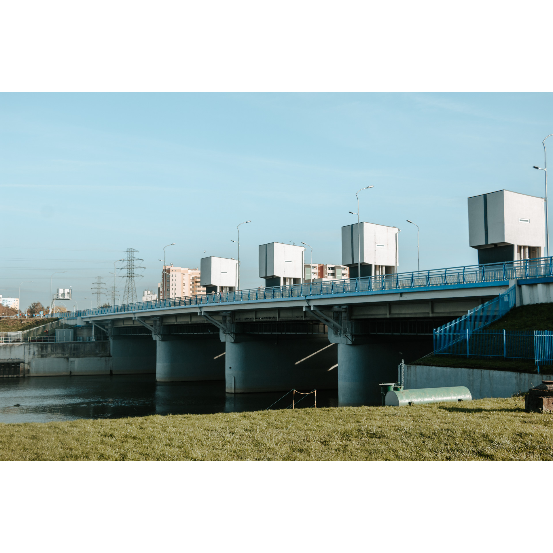
The starting point will be the stadium of Stal Rzeszów. From there, head towards Karpacki Bridge and then into Kwiatkowskiego Street. Turn left into Cicha Street, then at the end turn right into Graniczna Street, then Nowowiejska, Zaciszna and Strażacka Streets. Then turn right into Miła Street and then left into Wojtyły Street, past Primary School No. 9 and the volunteer fire station. This will take you through a housing estate to Sikorskiego Avenue. Head south and at the curve of the road in Tyczyn keep to the right.
- 2Tyczyn8 kmTyczyn
The park in Tyczyn is a pleasant place to rest before continuing on your journey. You can take a few minutes to look at the 19th-century palace with its eclectic facade, which stands in a thicket of trees. Today it is a high school building, however, great care has been taken to preserve it. Get to the town square and have a look around, it's a typical Galician market square with one-storey and multiple-storey residential and commercial buildings. Particularly noteworthy is the grey townhouse on the southern frontage, decorated with the crowned eagle, with drawings and stuccoed windows. Take Mickiewicza Street out of the square and turn left at the cemetery. Continue without deviating from the main road. In Borek Stary, you can take a moment to visit the baroque Franciscan monastery. Follow the same road, past the cholera cemetery, to turn right at the end. You will make sure you are going the right way when you pass the school in Nowy Borek. You will then reach Błażowa via Błażowa Dolna.
- 3Błażowa22 kmBłażowa
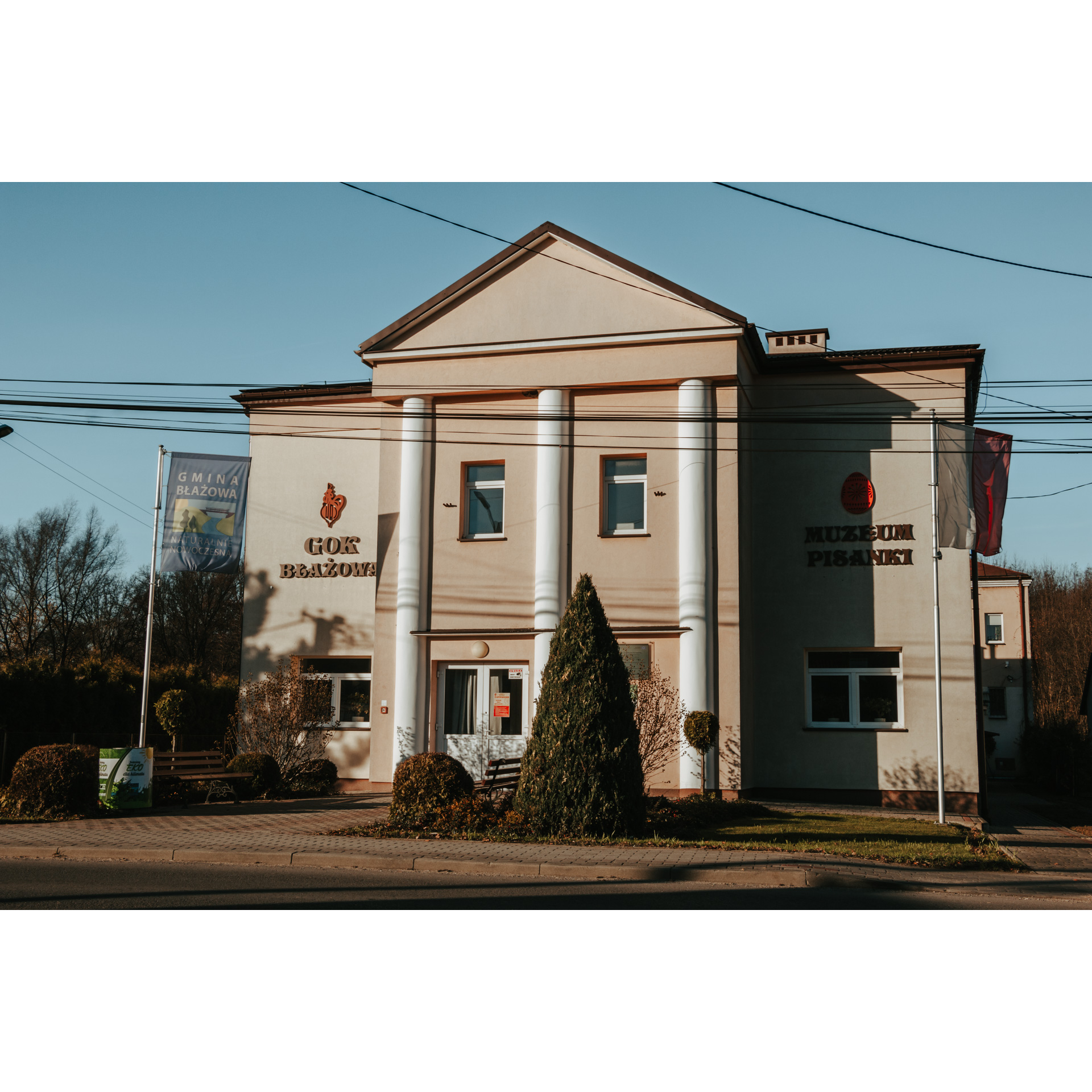
Turn left at the LKS Blażowianka stadium. You can also take a break and visit the Museum of Easter Eggs, where local artistic products are displayed. Along Fr Markiewicza street, passing 2 wayside crosses, you will reach Dylągówka. Remember to keep to the main road. Pass through the village and head north towards Wólka Hyżnieńska. Turn left there at the crossroads. In the village of Borówki, you will pass a small brick chapel in a clump of trees. After 400m, turn right and the road will lead you through the forest to Chmielnik. In the village, turn left past the school, playing field and bridge over the Chmielnik River. Follow this road past the Church of Our Lady of Grace, but do not turn right until 200m past it, at the chapel with the statue of Christ and the eagle. Continue along this road, without deviating, to reach the Słocina housing estate on the south-eastern outskirts of Rzeszów.
- 4Rzeszów51 kmRzeszów
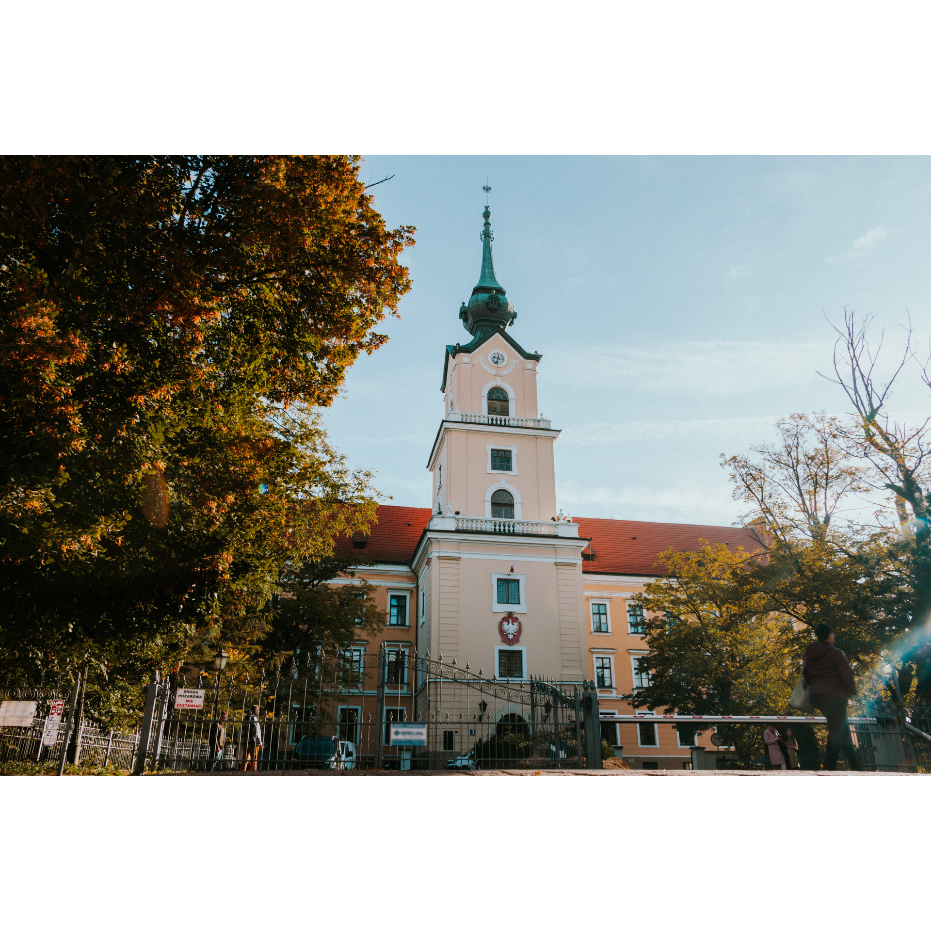
Drive through Słocina along Św. Rocha, Powstańców Wielkopolskich and Paderewskiego Streets, on the way you will pass Primary School No. 2 and the bus terminus by the forest on Św. Marcina Street. Then cross the bypass to continue along Mieszka I Street. Turn left into Niepodległości Avenue and go through the junction. You will find yourself on Major Kopisto Avenue and soon stop at the Zamkowy Bridge. From there you will see the building of the castle, which, although originally built in the 17th century, was restored at the beginning of the 20th century in the Italian palazzo in Fortezza style. It is a place with a difficult history, during the occupation and the post-war struggle against independence underground, many heroes were imprisoned and murdered there. Wincenty Witos, the leader of the peasant movement in the inter-war period, passed through this place, while W. Skubisz, M. Pilipiec, J. Prędkiewicz, J. Toth and L. Rząsa, among others, were killed here. On the other side of the bridge, you can see the Podpromie Hall, where the local volleyball team Asseco Resovia Rzeszów enjoyed their greatest successes. Leave the bridge and head across Podpromie Street to Lenartowicza Street and then south.
Your tour ends at the Stal Rzeszów stadium, at 58 km.
Attractions near this route
Gallery
Check other routes


