Rzeszów and its surroundings
Around Magdalenka Hill
XML, 87.03kB
About this route
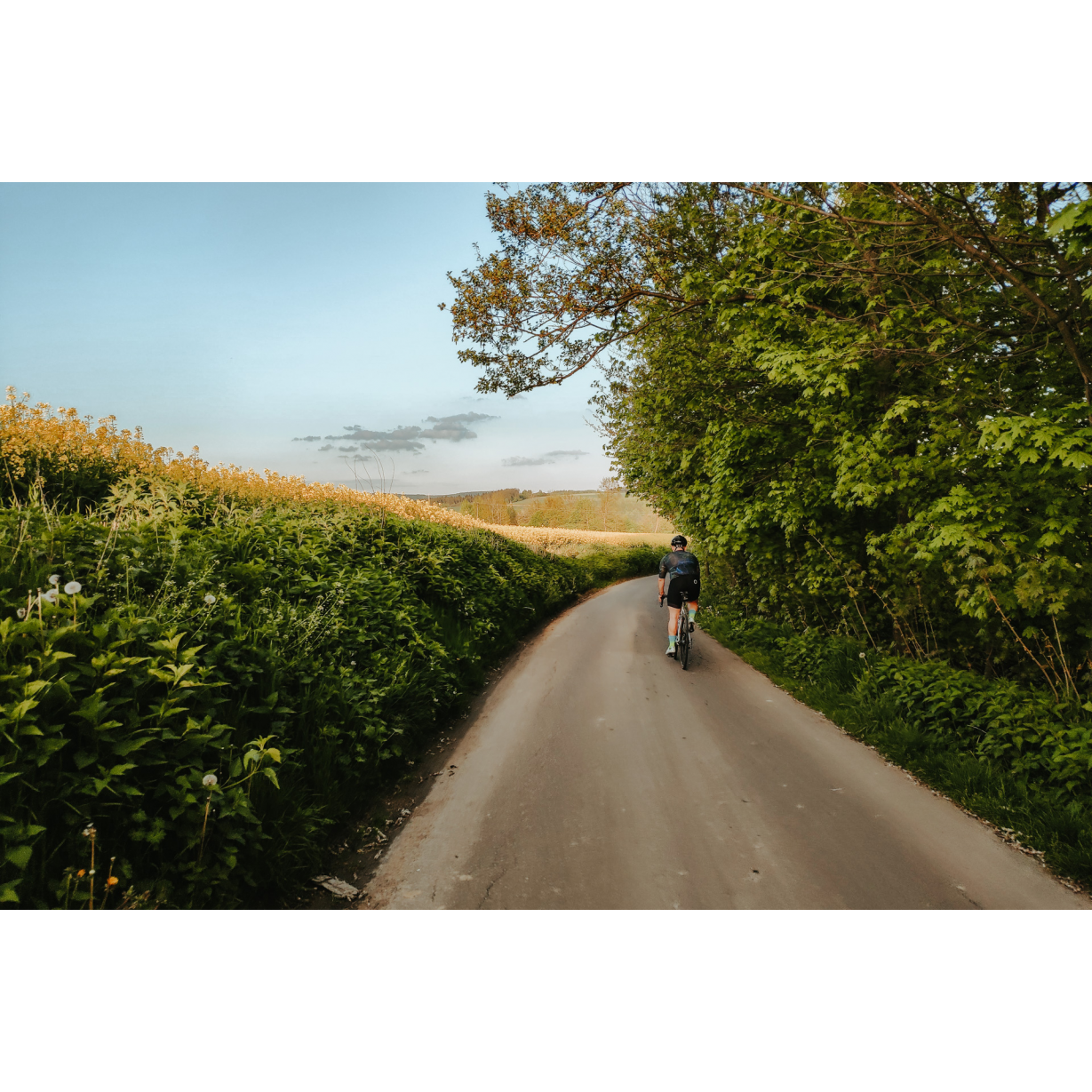
The route around Magdalenka Hill leads from the Rzeszów housing eastate of Słocina through medieval villages to the east of the city. This is a trip not only through beautiful field and forest landscapes or picturesque villages, but also a journey through history, which we rarely become aware of in our daily lives. While riding, think about what these places looked like in the 13th and 14th centuries, when they were covered by ancient forest and there was a need to start civilising this area, establishing subsequent villages and small towns, among which our lives unfold today.
Practical advices
When preparing for a route, be sure to check the weather forecast. This will allow you to take appropriate clothing and limit your luggage as much as possible. However, it is well known that the weather can be unpredictable, so be prepared if it gets worse. It is good practice to pack a thin rain jacket that does not take up much space.
Before starting the route, carefully analyse it on a map. Consider whether your skills and equipment are adequate for the level of difficulty of the route.
Download the accompanying .gpx file so that you always have your navigation at hand. To make sure your device doesn't fail you, also bring a power bank, charger or spare batteries. If the weather changes, you may find it useful to have a waterproof case for your electronic equipment.
Be sure to take drinks and food with you on long journeys; you never know when you will get hungry. Remember that a shop or restaurant may be located a long way away. We recommend that you stock up on water, isotonic drinks, energy bars and snacks. This will make sure you don't lose the motivation to continue riding.
The absolute basis for safety is, of course, a helmet. Also, prepare yourself technically. Make sure you have adequate lighting on your bike. Pack a repair kit. Spare inner tubes, a pump, a multitool, all of these things can come in handy in the event of a breakdown, which of course you don't want!
Rzeszów and its surroundings
Audiodeskrypcja tekstowa
Route details
Rzeszów-Słocina – Markowa – Husów – Chmielnik – Rzeszów-SłocinaStart
- 1Rzeszów-Słocina0 kmRzeszów-Słocina
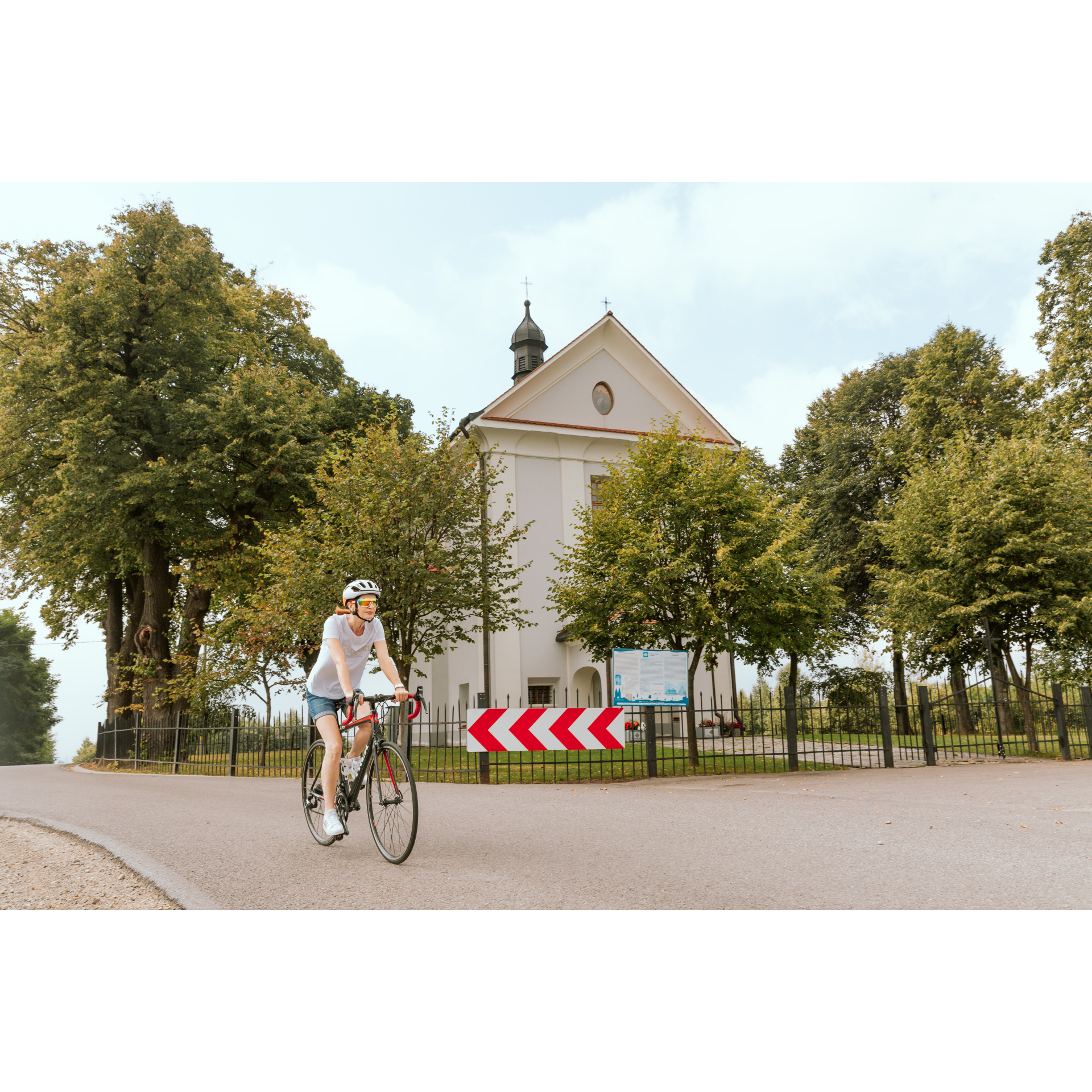
We will start the trip at the Church of St. Roch and St. Martin on the Rzeszów housing estate of Słocina. Head south on Powstańców Wielkopolskich Street, and at the large intersection, turn left onto Słocińska Street. Ahead of you are several kilometres of driving through single-family suburban buildings and villages on the outskirts of Rzeszów, which are slowly becoming residential estates of a villa-like character. The first of them is Malawa. At the school in this village, turn left and continue straight on. You will reach Kraczkowa, a village that still maintains its agricultural character. Passing the school, a community centre and a Neo-Gothic church with a gallery on the level of the side aisles, you will pass through this very long village, and then enter Albigowa. The name of the village derives from the name of the first mayor – Helwig. The German name and German designation Helwigau are a testimony to the village's past, which was founded under Magdeburg law at the end of the 14th century. Over time, the word simplified in pronunciation, taking on its current form. Turn right and after the old mill, where it is always worth stopping to eat something, turn sharply to the right. Continue straight, climbing the hill on which the western part of Markowa is located.
- 2Markowa17.3 kmMarkowa
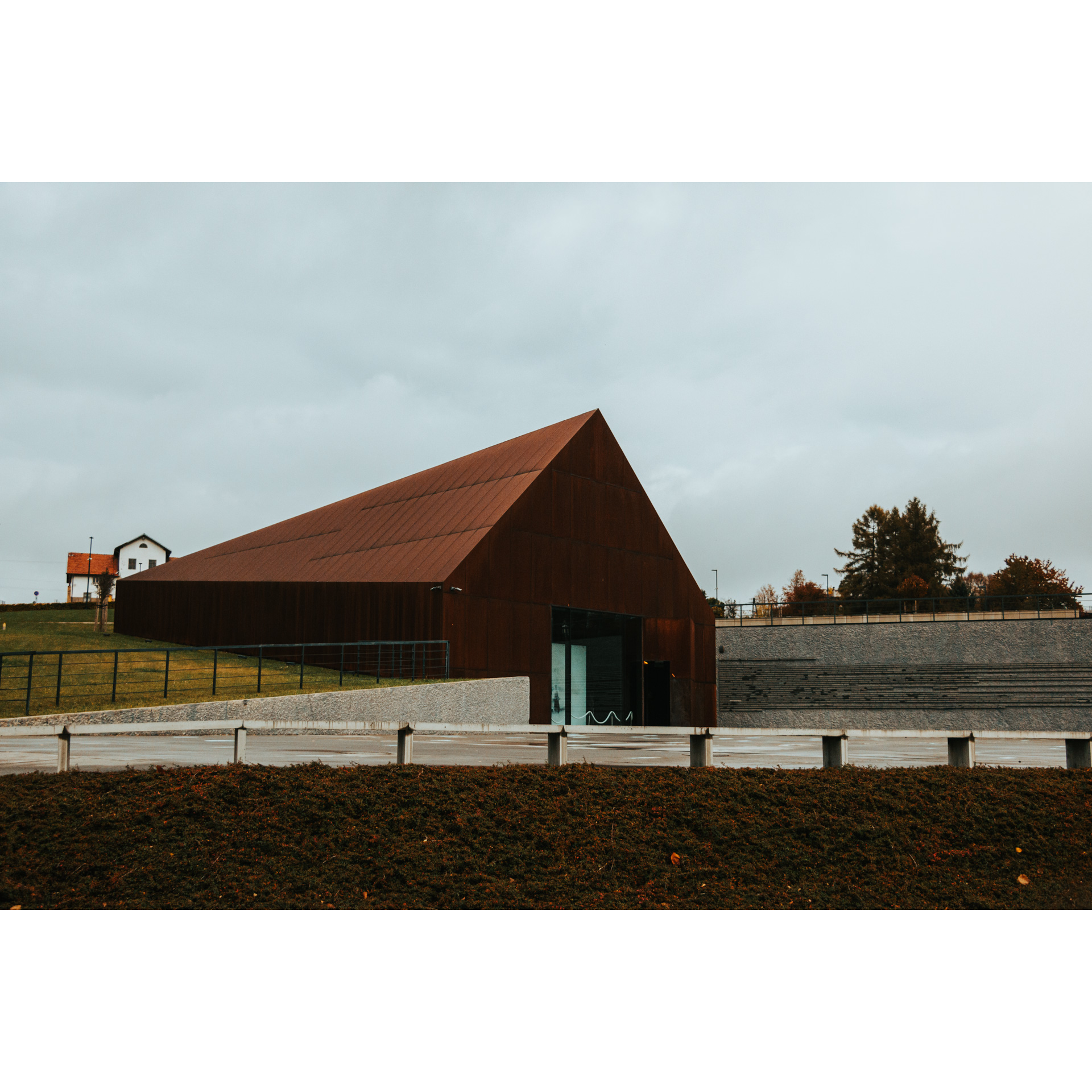
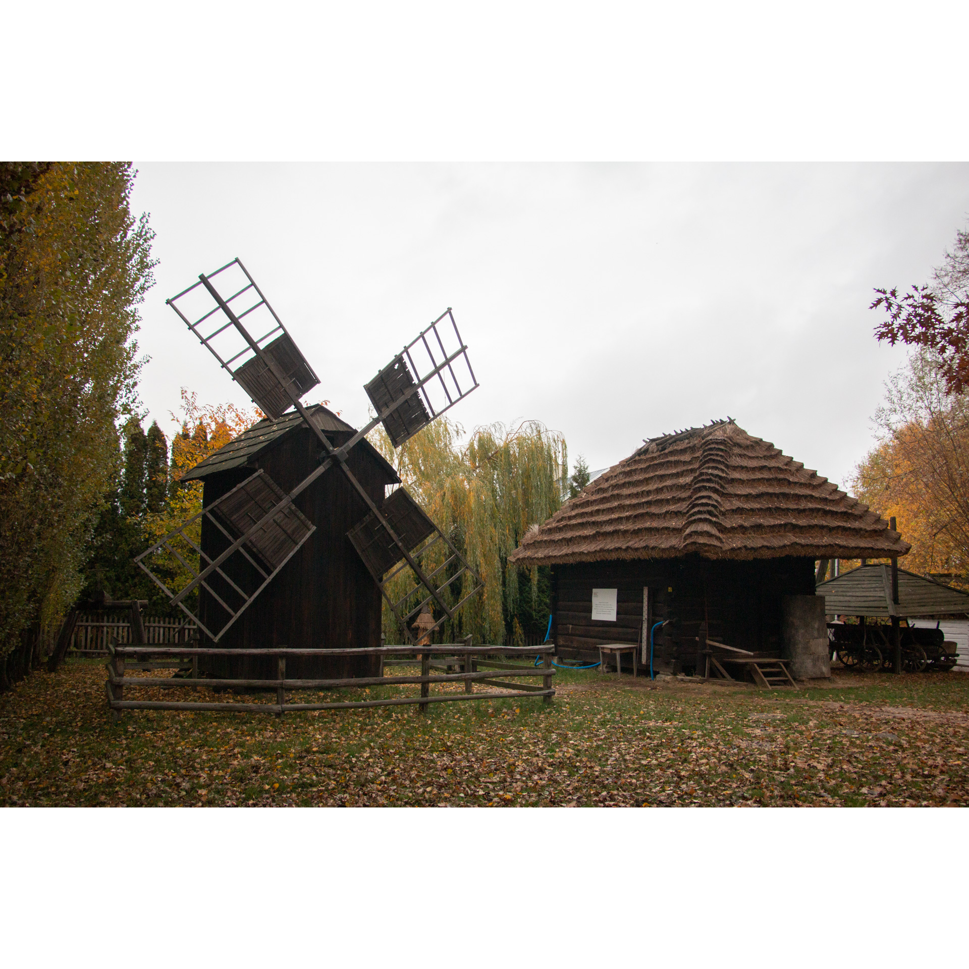
The history of this village is similar to that of Albigowa – it was also founded by German colonists brought in during the reign of Kazimierz the Great, who cleared the land for their homes, taking it from the ancient forest. Colonisation in Europe at that time was a way to accelerate the civilizational and economic development of poor or sparsely populated regions, like the eastern part of what was then Małopolska, today's Podkarpackie. Turn according to the signpost for the Ulma Family Museum of Poles Saving Jews in World War II to the left, and after 300 metres to the right onto Zagumnie Street. At the fork, stay on the left side. You are driving along the southern street of the village, the name of which indicates that the buildings along it were established beyond the farms of the older part of the village – beyond the threshing floors. After 2.2 kilometres from the turn onto Zagumnie Street, turn left at an unremarkable intersection to return to the old part of the village. Head east. You will pass the Neo-Gothic Church of St. Dorothy and then the most important museum in the village. Its sharp form made of rusted steel is a symbol of human memory, which quickly fades as time heals pain. Behind the museum, you will find this open-air museum, also worth visiting. At the intersection past the Volunteer Fire Brigade station, turn right towards Kańczuga. After 400 metres at the fork, choose the right turn-off. The narrow road will lead you to Lipnik, which you will pass by its eastern fences, and then to Husów.
- 3Husów29.6 kmHusów
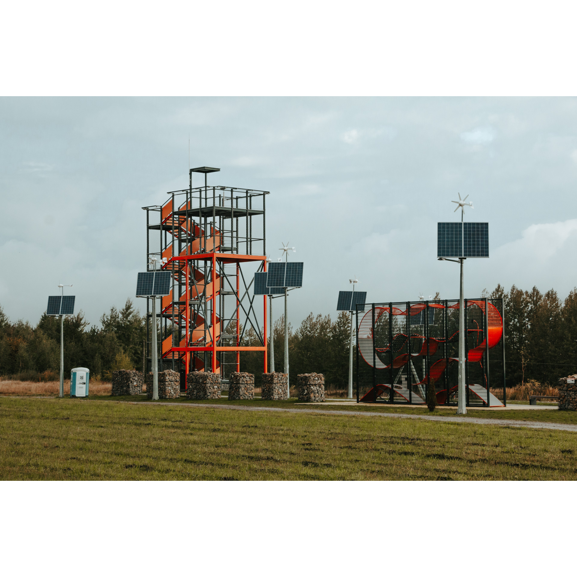
This is another medieval village founded by German colonists, who brought new farming techniques, tools, and benefited from privileges granted in location acts, mainly multi-year tax exemptions. Upon entering the village, stick to the chosen road. It runs parallel to the main road located 500 metres to the left and below. You are bypassing Husów from the north-east. Having reached a large intersection at the northern outskirts of the village, head straight towards Tarnawka. Turn right at the fork, turning onto Handzlówka. You will pass through the forested part of the village. Like others in this region, whose names end in "-owa" or "-ówka," it is a medieval village of German colonists, located in the middle of a forest. It has partially retained this character, as it is densely wooded. Upon reaching the intersection, turn right, and past Magrysia Park, turn left, crossing a small bridge over the Sawa River. A fairly steep climb will take you to a hill with a view of the village. Turn right and continue straight, cutting through a group of buildings along the way without deviating from the chosen direction. Staying on this road, you will reach more buildings; pass them without turning off and continue along the edge of the forest. Stay on the ridge of the hill; do not descend into the valley when you encounter a few farms in a grove. In this way, you will not miss the splendid views of valleys dotted with low hills. Travelling in a north-west direction, you will arrive through fields cut by forests to Magdalenka Hill. Stop on the hill and climb the observation tower. Sometimes you can even see the Tatra Mountains from here! Rest. You may also visit the small Church of St. Mary Magdalene, with its beautiful altars and a preserved Passion group above the main altar. Having left the church on your right, proceed in a general western direction. You will descend to the fences of Chmielnik, another village founded at the end of the 14th century.
- 4Chmielnik45.5 kmChmielnik
At 45.5 km into the route, look for a road going sharply downhill to the right, cutting between two large properties opposite a grove. This road leads to the centre of the village. At its end, turn sharply to the right. Continue to follow the main road, which will shortly become Świętego Rocha Street. It runs between buildings, through a small forest, past a church and a bus loop. Along this street, amidst increasingly dense suburban buildings, you will travel nearly 3 km, and then, without turning, you will follow Powstańców Wielkopolskich Street to the church in Słocina, where you started.
- 5Rzeszów-Słocina51.3 kmRzeszów-Słocina
Your trip ends near the starting point.
Attractions near this route
Gallery
Check other routes


