Rzeszów and its surroundings
Traces of partisans and shrines in Grodzisko Dolne
XML, 52.68kB
About this route
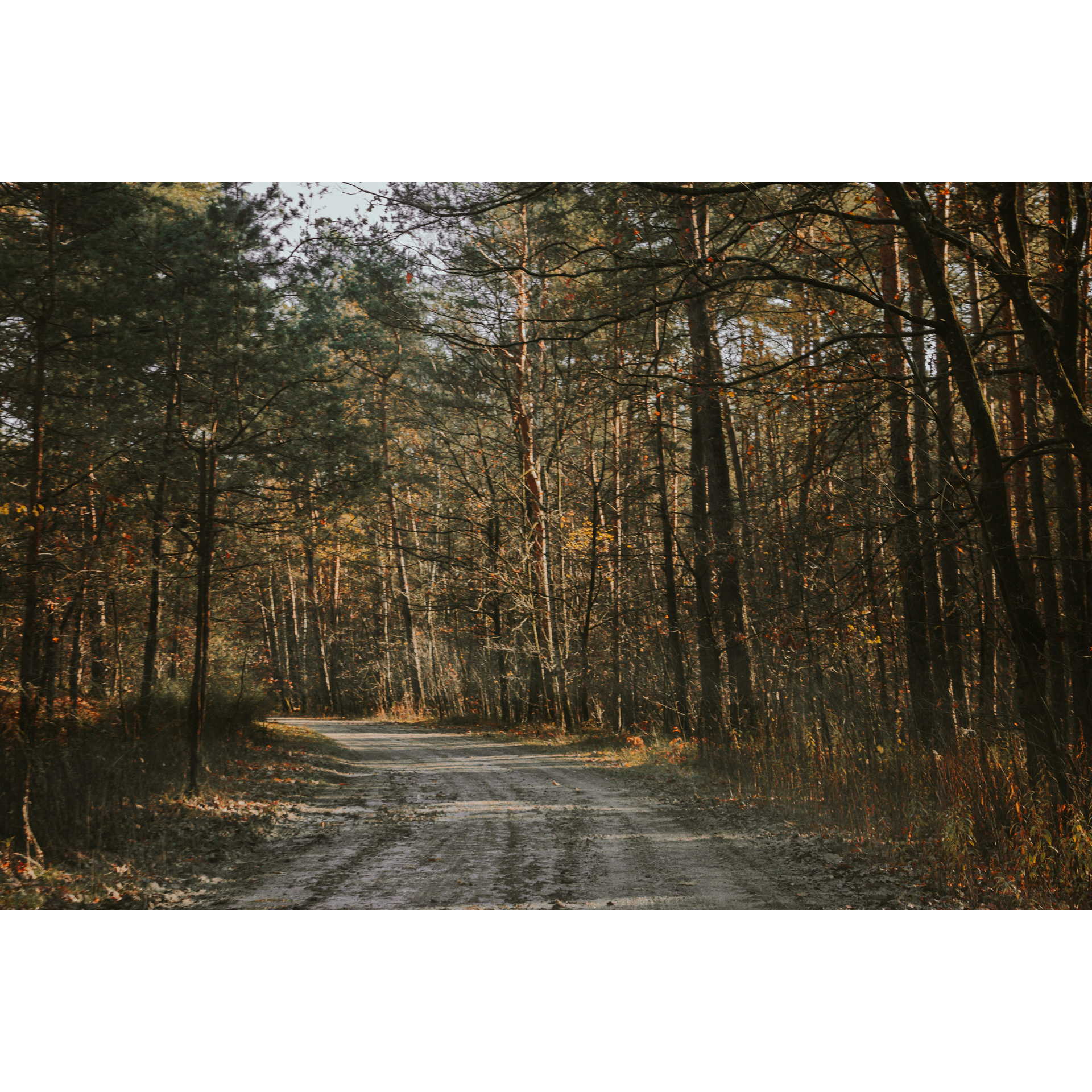
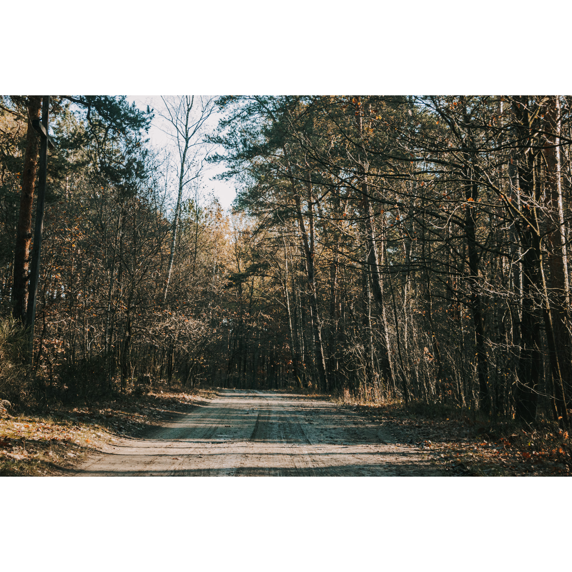
The loop, starting in Grodzisko Dolne, will take you through forests located north of the A4 motorway. These are places that were marked by partisan activity during World War II. The route is dotted with chapels and forest crosses with an interesting history. The route is designed for intermediate cyclists. Its length is over 30 km and it leads along a blue cycle trail and a Nordic walking trail.
Practical advices
A route with a moderate level of difficulty will allow you to test your fitness. Remember that the terrain has a huge impact on how many kilometres you can cover. Trails on flat roads are less strenuous than those on hills or mountain roads.
Planning a group trip? Match the route to the fitness of the weakest participant.
A helmet and light clothing made of breathable materials will be essential for safety and comfort on the route. Other than that, only put on the essentials. Heavy luggage will make your ride more difficult. Also, think about what you will carry the necessary items in. We suggest a backpack or panniers for your bike.
Be prepared for possible breakdowns on the route. It is a good idea to carry the most important tools for a quick fix, such as inner tubes or patches, a pump or a multi-tool. Make sure you have enough water and food, as well as navigation equipment.
Is it looking like a warm and sunny day? Remember sunscreen and sunglasses. If you are planning sightseeing or other activities along the route, a bike lock will also be very useful. Before you leave, carefully examine your route for the trip. Consider whether your skills and equipment are adequate for the level of difficulty of the route.

Rzeszów and its surroundings
Audiodeskrypcja tekstowa
Route details
Grodzisko Dolne - Laszczyny - Opaleniska - Korniaktów Północny - Białobrzegi Lewe - Góra pod Michałkiem - Grabik - Zmysłówka - Grodzisko Podlesie - Grodzisko DolneStart
- 1Grodzisko Dolne0 kmGrodzisko Dolne
Start from the car park next to the Igloo Club by the Czyste Reservoir in Grodzisk Dolny. From here, head to the main road and thus to the blue cycle trail and turn right towards Laszczyny.
- 2Laszczyny1.4 kmLaszczyny
After passing the reservoir and travelling about 4 km, turn right onto a gravel road. After 600 m you will come to a shed with benches. This is a good place for a short stop.
Past the shed, turn right. After approximately 3 km, you will come to a sign pointing to the right. These will lead you to the site of the former Home Army's printing house, liquidated by the NKVD in 1944. The site is now called Dziurawka and there is a memorial plaque and a large cross. Return to the blue trail and follow it towards the village of Opaleniska.
- 3Opaleniska7.7 kmOpaleniska
Turn left in front of the metal cross. Go through the village. You will now delve into the forest again. After about 3 km you will come across the forest chapel of St Raphael. Next, you ride into fields. A little further on, turn right (onto a narrow asphalt road). This slightly winding road will take you to the Korniaktowskie Ponds, another attraction on the route.
- 4Korniaktów Północny13.7 kmKorniaktów Północny
Korniaktowskie ponds are a great place for a peaceful holiday. They are a bit far from civilisation and are surrounded mainly by forests, so they guarantee peace and quiet. You can encounter anglers here, and also observe birds. This is the well-known habitat of the grey heron. From here, ride towards Białobrzegi, passing the Korniaktowskie ponds and the Korniaktów Forestry buildings. Less than 500 m further on, turn sharply right to reach a junction with a cottage-like Marian chapel. Take the road with the chapel and follow it ahead
- 5Białobrzegi Lewe17.4 kmBiałobrzegi Lewe
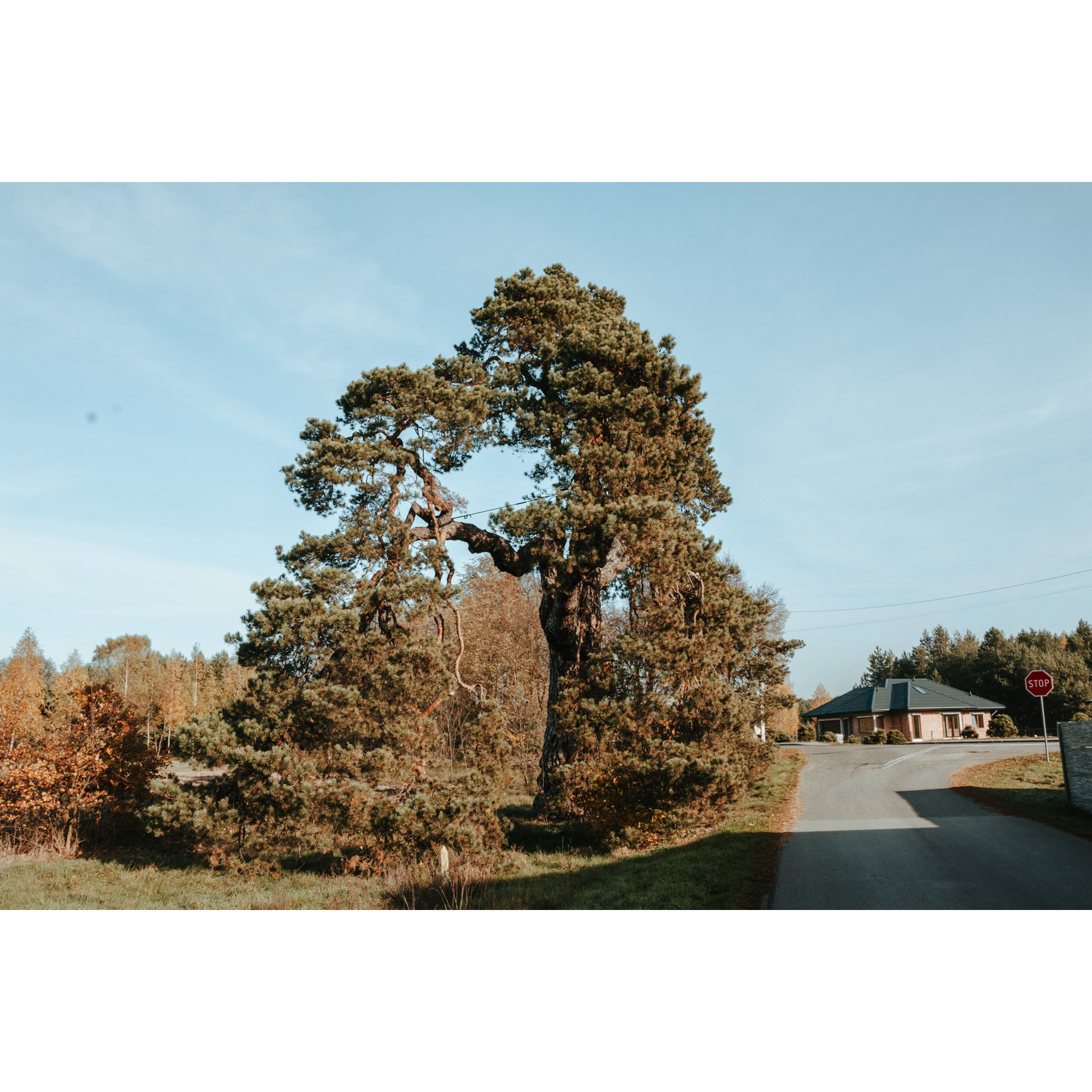
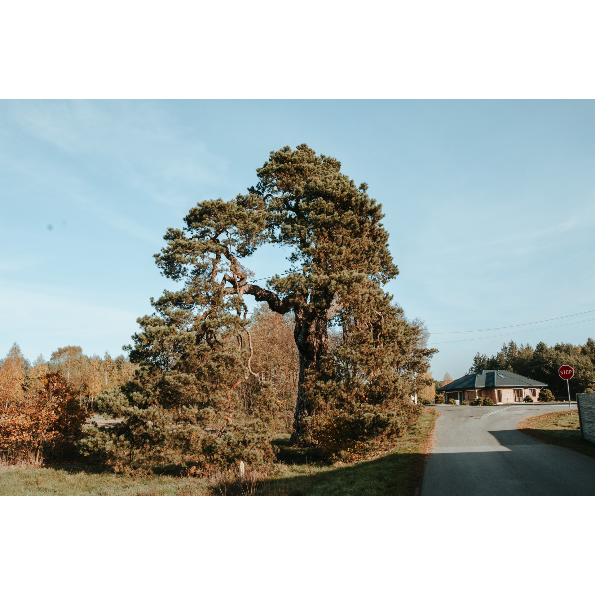
On the way, you will pass a manor house from the 17th century. Turn right behind it. After about 1.5 km you will reach a natural monument, the Sobieski Pine. The tree is several hundred years old. Legend has it that during the armed relief march to Vienna, polish king John III Sobieski rested in the shade of this tree.
A kilometre further on, turn right at the chapel. Now you are faced with an ascent to Góra pod Michałkiem. At the climax of the ascent is the Chapel of St Huber. Next to it, you will find benches, a good place for a short break.
- 6Góra pod Michałkiem21.6 kmGóra pod Michałkiem
From here, follow fire road no. 42 and the Nordic walking trail towards the Chapel of St Anthony of Padua. This is a temple that has been an important place of worship for the local population since the 19th century. The place is famous for graces and miracles. During World War II, the chapel served as a contact box for Home Army partisans. Now follow fire road no. 38 to Zmysłówka.
- 7Zmysłówka25.4 kmZmysłówka
As you leave the forest, turn right and at the next fork turn left. You will come to the end of an asphalt road. Turn left here again. The road will lead you to the cross in Grodzisko Podlesie. Turn right there to a charming wayside chapel. At the road junction, take the left. A somewhat strenuous ascent will lead you to Grodzisko Dolne.
- 8Grodzisko Dolne33.6 kmGrodzisko Dolne
Now one more right turn and you are back at your starting point, the car park by the reservoir.
Attractions near this route
Gallery
Check other routes


