Rzeszów and its surroundings
Along the Medieval Towns Trail near Kańczuga
XML, 79.86kB
About this route
The route is straightforward to navigate and not difficult to cycle, however, the challenge lies in several steep climbs up the hills separating the next valleys. The towns that you will pass along the way, like Kańczuga, are largely medieval locations, which were founded on German law to stimulate the economic development of the area. Think about this while cycling through agricultural lands and forested areas.
Practical advices
A route with a moderate level of difficulty will allow you to test your fitness. Remember that the terrain has a huge impact on how many kilometres you can cover. Trails on flat roads are less strenuous than those on hills or mountain roads.
Planning a group trip? Match the route to the fitness of the weakest participant.
A helmet and light clothing made of breathable materials will be essential for safety and comfort on the route. Other than that, only put on the essentials. Heavy luggage will make your ride more difficult. Also, think about what you will carry the necessary items in. We suggest a backpack or panniers for your bike.
Be prepared for possible breakdowns on the route. It is a good idea to carry the most important tools for a quick fix, such as inner tubes or patches, a pump or a multi-tool. Make sure you have enough water and food, as well as navigation equipment.
Is it looking like a warm and sunny day? Remember sunscreen and sunglasses. If you are planning sightseeing or other activities along the route, a bike lock will also be very useful. Before you leave, carefully examine your route for the trip. Consider whether your skills and equipment are adequate for the level of difficulty of the route.
Rzeszów and its surroundings
Audiodeskrypcja tekstowa
Route details
Kańczuga – Husów – Hadle Szklarskie – Hadle Kańczuckie – KańczugaStart
- 1Kańczuga0 kmKańczuga
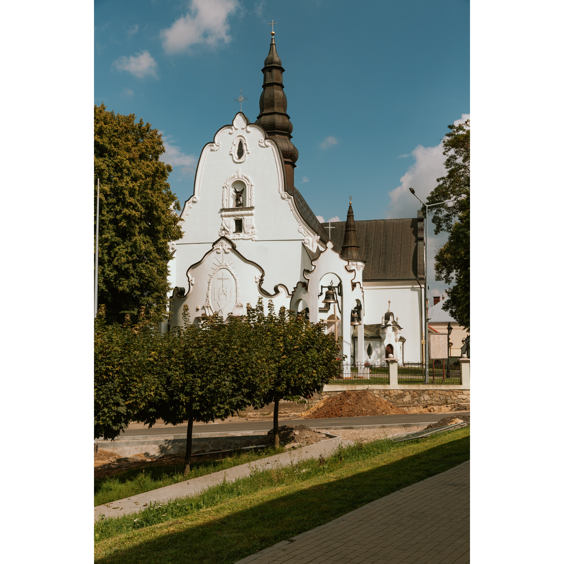
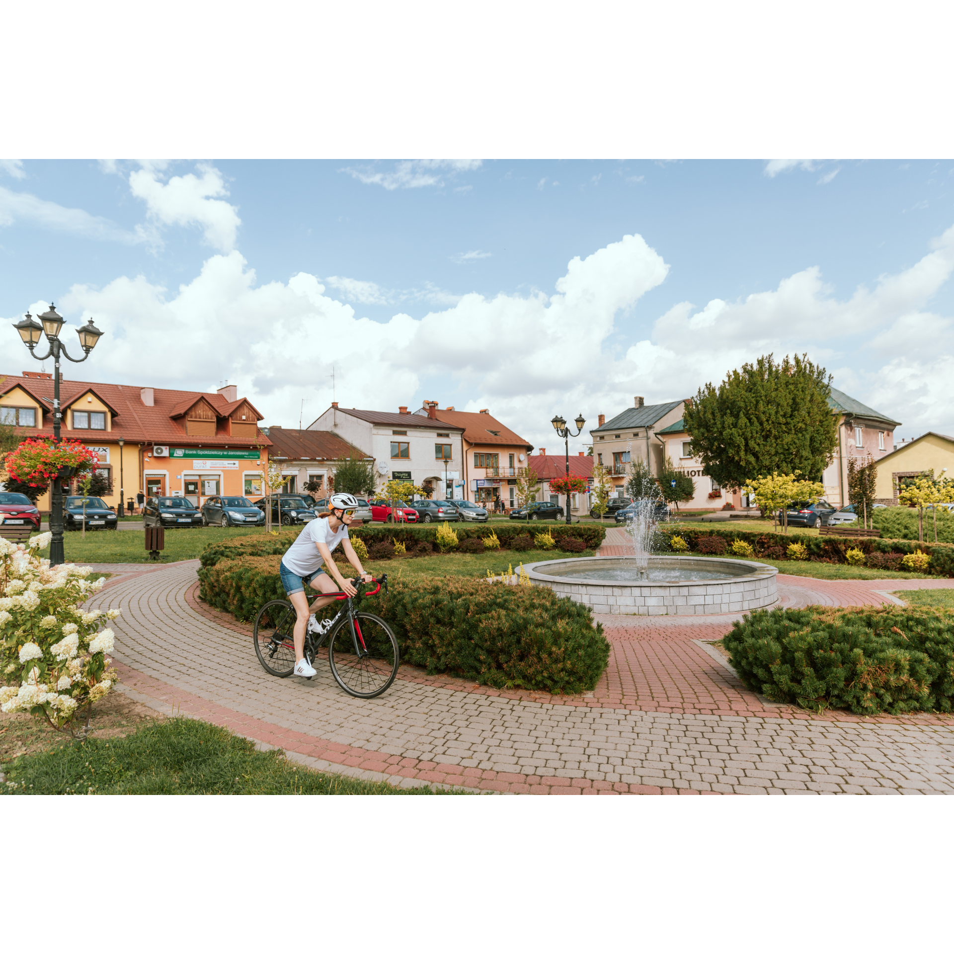
The market square in Kańczuga, from which we will set off today, is an example of a typical urban location founded on German law in the 14th century, during the intensive settlement of these areas by successive kings, partly with German population, in order to increase their economic potential. In today's Podkarpackie, then part of Małopolska, many such towns were established, which served as local trade centres and secured the route between Krakow and Lviv. The urban layout has been preserved for centuries – the market square is surrounded by buildings of residential and service character, currently 19th and 20th century townhouses, and the church has been moved outside the market square but close enough to remind with its tower of eternal matters. The Church of St. Michael the Archangel is a building remodelled in the early 17th century from earlier structures, some of which were at least partly wooden. Particularly eye-catching is the richly decorated front facade of the building, with a semi-circular vestibule and an extremely ornate attic, as well as a bell tower that maintains a similar manner. Inside, there is an extraordinarily ornate green-gold Baroque altar and similar side altars. Depart from the market square via Świętej Barbary Street. Riding along this route, part of the regional road no. 881, overcoming a small agricultural hill, you will reach the village of Sietesz. Cut through it, turning left towards Lipnik and Husów. You will pass the first village, and then, riding along the forest, climbing the hill, you will reach Husów.
- 2Husów9.8 kmHusów
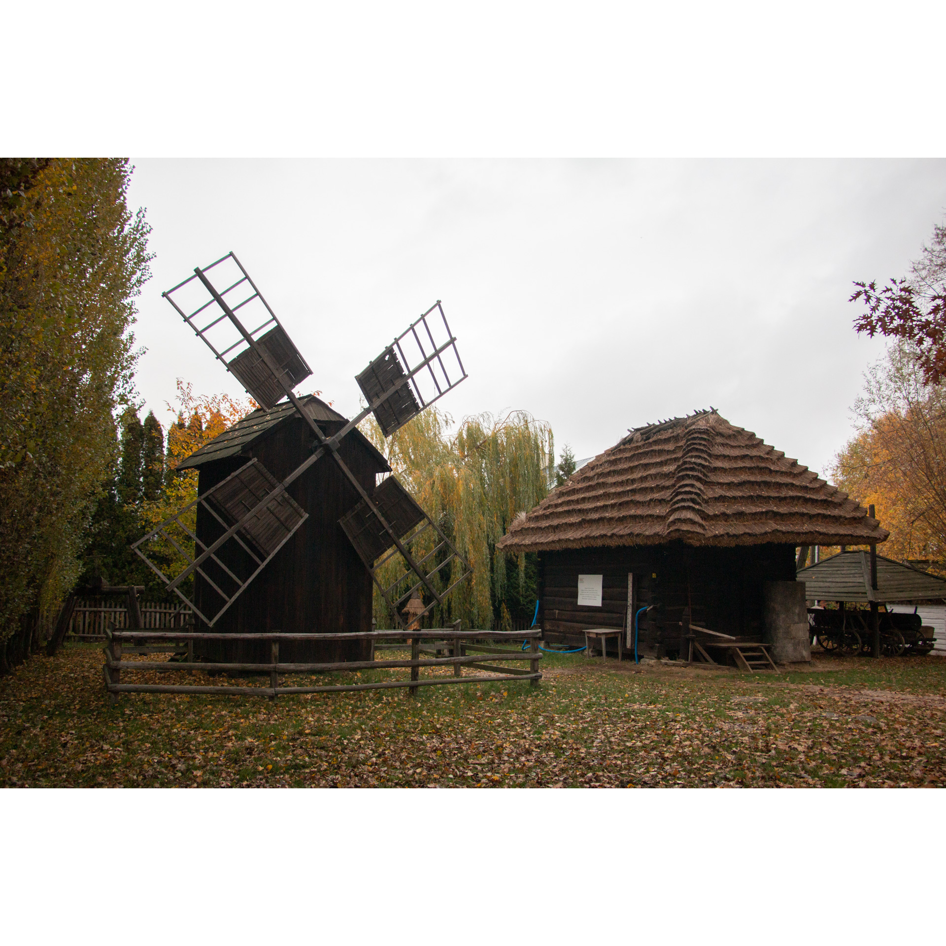
Entering the village, first keep to the right at the fork, and then turn left onto a narrow asphalt road. Behind the church, you will find a manor park. Turn left at the cultural centre. Along the way, you will pass the Cottage of Jan Rak, the most important monument in the village – a wooden thatched-roof peasant cottage, typical for these areas until the mid-20th century. It is worth mentioning, in line with the theme of the trip, that Husów was established ex nihilo (created anew in an open field) in the 14th century as the German colony of Langenhof. After travelling 800 metres, turn right at the intersection, heading down a gentle slope. Then, through sparse forest and fields, you will reach a hill with a viewpoint overlooking Husów. Turn right there and continue for 1.2 kilometres past a small grove, then turn left. Following a wide curve, you will head south and reach Tarnawka. The Church of the Visitation of the Blessed Virgin Mary was formerly a Greek Catholic church. None of the original furnishings remain since its conversion, but the architectural layout is completely preserved. On both sides of the main entrance, there are porticoes, so-called 'soboty', which allowed pilgrims and worshippers from distant villages to spend the night. Having passed the church, continue southward, past the stadium, and as you leave the village, cross the bridge, keeping to the left at the fork. You will then descend a gentle slope to reach Hadle Szklarskie.
- 3Hadle Szklarskie21.5 kmHadle Szklarskie
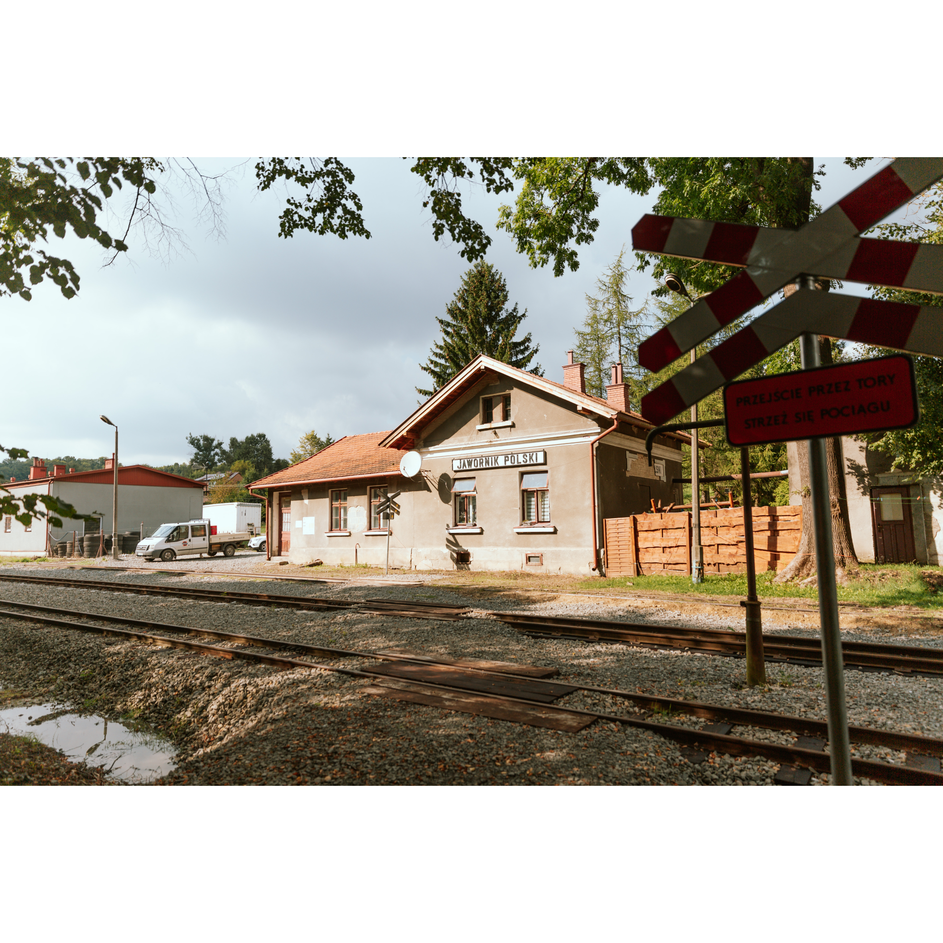
The palace- park complex in Hadle Szklarskie is currently used as a hotel. It is a Neoclassical establishment, with a symmetrical structure, restrained decorations, and a spacious terrace. A smithy, stable, and orangery have also been preserved. The village was actually founded in 1377 under Wallachian law (the first village of this kind in Poland), during the reign of King Louis of Hungary. After the palace, turn right at the second intersection past the wooden bus stop and outdoor gym. You will face a fairly steep climb, partially leading through the forest. At a distance of 0.5 km from the edge of the forest, make a sharp turn to the right. You will ride the next 2.5 km among fields, passing by more forests. When you enter a small group of buildings, turn left. A straight, descending road will take you to Jawornik. Among the first buildings, you will find a former narrow-gauge railway station and traces of several tracks and turnouts. You will then pass a cultural centre, fire station, school, and via the regional road no. 835, you will enter Widaczów, and from there back to Hadle Szklarskie. There you will also find a former station along the narrow-gauge railway track. Follow the road accompanying the unused tracks to reach Hadle Kańczuckie.
- 4Hadle Kańczuckie34.6 kmHadle Kańczuckie
In the village, stick to the course of regional road no. 835. It leads further to Manasterz. Hadle Kańczuckie existed as early as 1448, but the exact date of the village's founding is not known. In Manasterz, it is worth visiting the Church of St. Catherine and stopping at the old cemetery located opposite. Manasterz is one of the oldest localities on the route, known to have had a settlement here as early as the 5th century, which was devastated by the invasion of Attila's Huns. The church is a typical Baroque building with a screen bell tower. The highway leads to Siedleczka, cutting through its eastern part. Before the village, it is worth turning briefly to the right, to the monument of the airmen of the 6th Air Regiment who died here in a crash in 1931, caused by loss of control following an engine failure. The village itself existed as early as the 14th century. From there, you will reach Kańczuga and without turning, you will enter the market square by the same road.
- 5Kańczuga46.3 kmKańczuga
Your trip ends near the starting point.
Attractions near this route
Gallery
Check other routes


