Rzeszów and its surroundings
The vicinity of Rzeszów
XML, 99.36kB
About this route
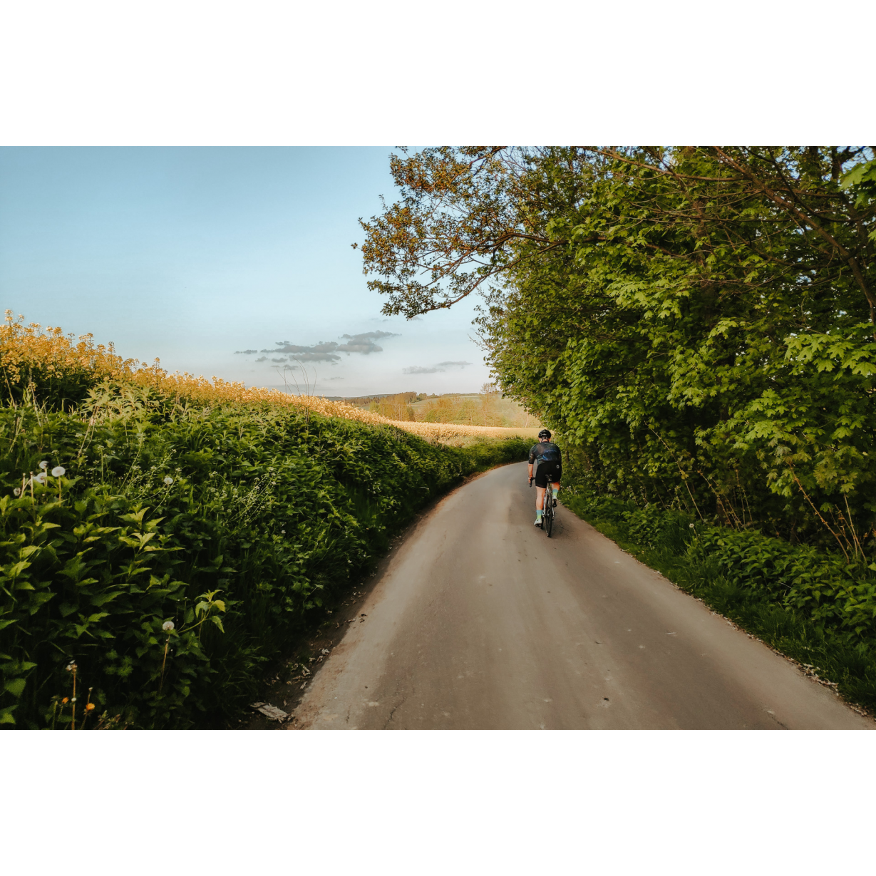
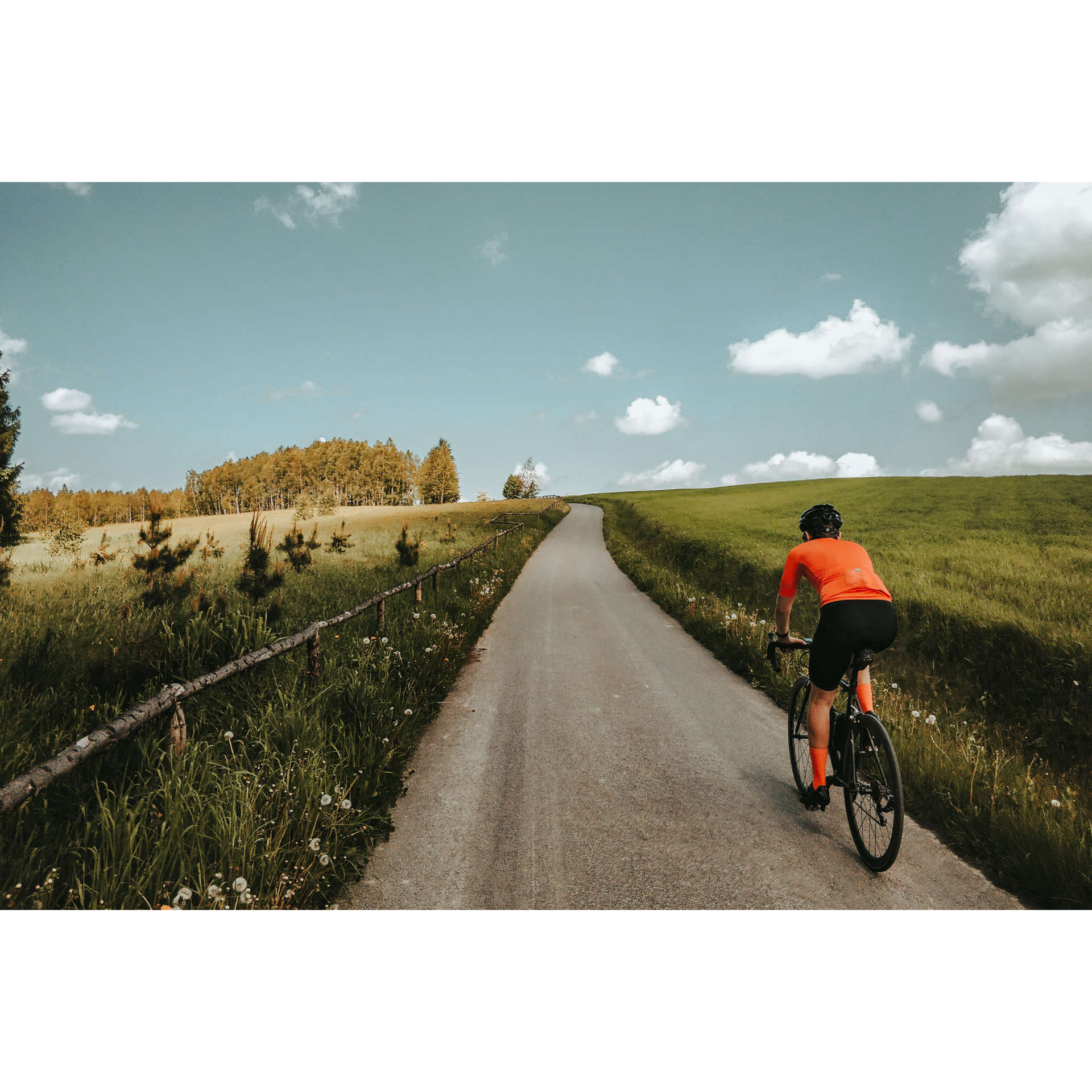
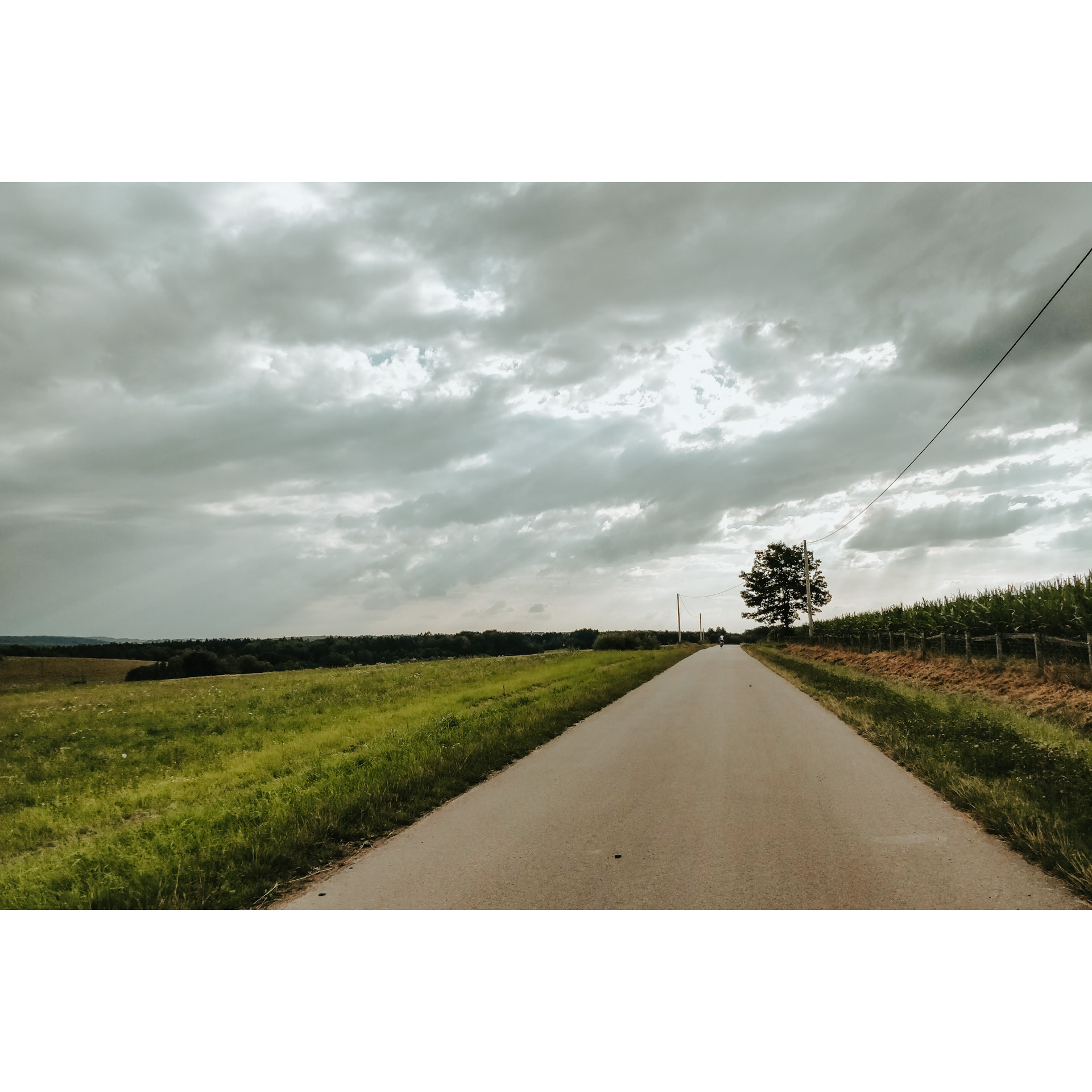
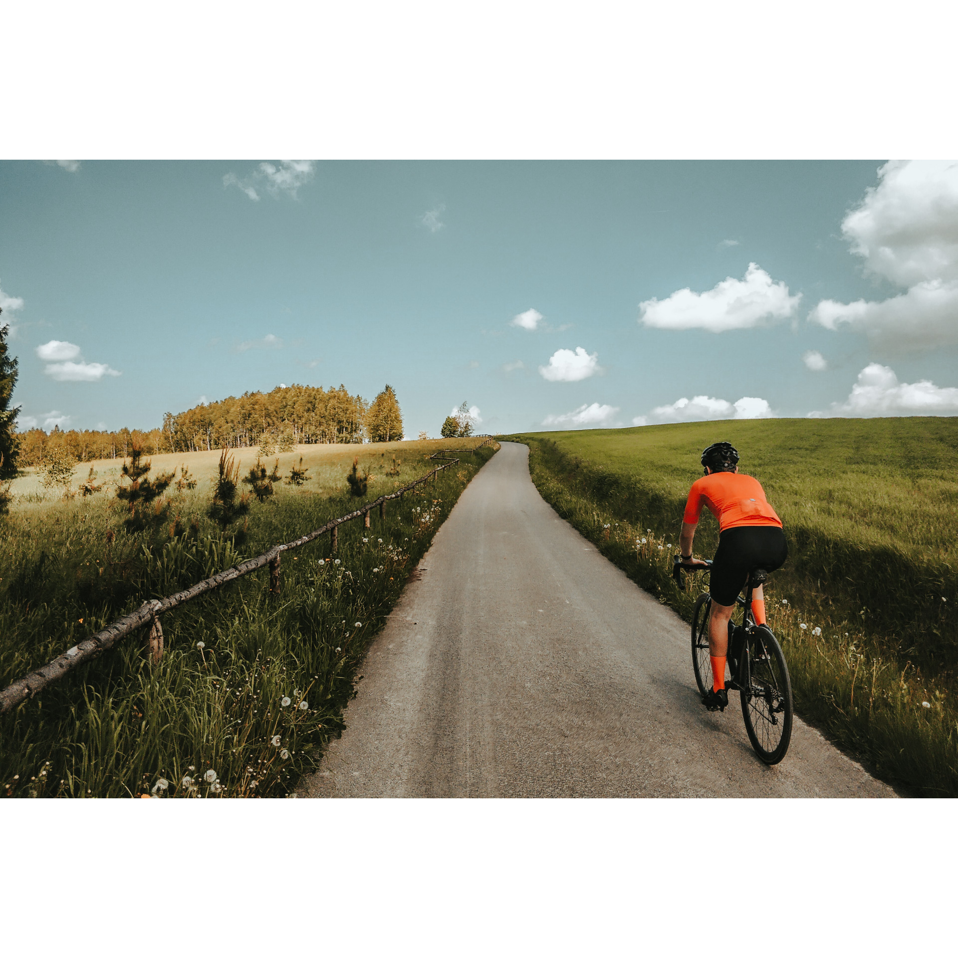
A straightforward and easy route in the vicinity of Rzeszów, which leads through picturesque areas of high scenic appeal. Simple changes of direction make it easy to ride even without a map, and long straight sections allow you to enjoy the surroundings. Although there are no grand sights, it is worth looking around to search for the original wildness of nature on the one hand, and the human impact on the environment on the other. The condition of the roads, the low altitudes and the gentle ascents also allow it to be traversed by children.
Practical advices
Although this route is not demanding, it is worth preparing for it properly, so that nothing surprises you at any point. Start with the most important thing, which is your helmet. A good helmet is essential for your safety. Take care also of proper lighting, both front and rear. In addition to bike lights, equip your bike with reflectors so that you are highly visible on the road.
What else is worth taking with you on a trip? Make sure to pack a sweatshirt or a rail jacket in your backpack, in case the weather changes. It is also a good idea to bring snacks to give you energy during the trip. Protein bars or energy mousses work well.
If you plan to take visit the attractions along the route, you will need to leave your bike behind in some places. To make sure it is still there after the tour, be sure to bring a bike safety device such as a U-Lock or any bicycle lock.
Rzeszów and its surroundings
Audiodeskrypcja tekstowa
Route details
Rzeszów – Zabratówka – Husów – RzeszówStart
- 1Rzeszów-Słocina0 kmRzeszów-Słocina
Start the tour at the distinctive neo-Gothic Church of St Martin. From there, head south along Powstańców Wielkopolskich Street and Św. Rocha Street. Keeping to the main road, which will be easy as it is well signposted, you will go through the Święty Roch housing estate and past the forest on Św. Marcina street to reach Chmielnik. You will pass Primary School No. 2 in Chmielnik and come to a crossroads on a bend in the road, with a chapel with a statue of Christ and a sculpture of an eagle. Turn left towards the church and continue along this road. Chmielnik is a long village, don't worry about losing your way, keep going ahead. Continue through Błędowa Tyczyńska. Don't change your chosen route until you reach Zabratówka. This section is 16 km long and runs through villages. Pay attention to the chapels and crosses you pass, and the beautiful scenery. The road often runs along the slopes of hills and their tops.
- 2Zabratówka16 kmZabratówka
At the end of the road from Błędowa Tyczyńska, turn right and then, at the volunteer fire station and library, turn left. You are heading for the forests of the Dynów Foothills and the ponds near Tarnawka, about 4 km away. Before you head there, you can rest in a shed at the side of the road. The ponds were regulated in 2021, taking away some of their natural wildness. There are 4 ponds, grouped into 2 pairs. At the second pair of ponds, there is the St. Hubert chapel; a meeting place for hunters. At the chapel, do not deviate from the earlier road. Go straight east from there to Tarnawka, taking the right exit at the next crossroads. Behind the woods, you will come out into extensive fields. Turn right after the school in the village, then at the end of the village, by a brick bus stop, turn left onto a dirt road towards a woodland complex to the east. Then turn left and follow these north along a narrow road. The route ascends gently and then runs along the top of a hill. After a few kilometres, you will reach a viewpoint with a panoramic view of Husów. Do not head towards the village, stay on the current trail. Before you descend towards the village, you can stop at a viewpoint overlooking the Tatra Mountains, located 4 km from the previous attraction. You don't need much luck to see them.
- 3Husów31 kmHusów
At the first junction in the village, turn sharply left and leave the village. You will quickly reach Handzlówka. It is a small village hidden in a thicket of trees. You can take a pleasant rest in the park named after Franciszek Magryś, a folk poet, writer and craftsman. This place is a gift from the artist to the village community, made in 1927. Today, there are benches and chess tables, among other things. On your further journey, you will visit Albigowa with its neo-Gothic church. Look out for the rosettes above the main door and in the windows. In the village, you can still see the old mill. At the crossroads by the old mill, go straight on. After crossing the Sawka River, turn left and at the end of the road, turn right. At the crossroads after 700 m, keep left. At the end of the road, turn right and then left at the chapel. You are following a road with an interesting name, Zagumnie. This means that it was built at the back of farms standing on the main road of the village and only became inhabited after some time. When you reach the crossroads by the historic chapel. You will reach Malawa; turn right past the school. Without deviating from the road, you will reach the crossroads with Powstańców Wielkopolskich Street and the starting point on Słocińska Street.
- 4Rzeszów-Słocina54 kmRzeszów-Słocina
Your tour ends near the Church of St. Martin.
Attractions near this route
Gallery
Check other routes


