Rzeszów and its surroundings
Roads of the Dynów and Strzyżów Foothills
XML, 58.32kB
About this route
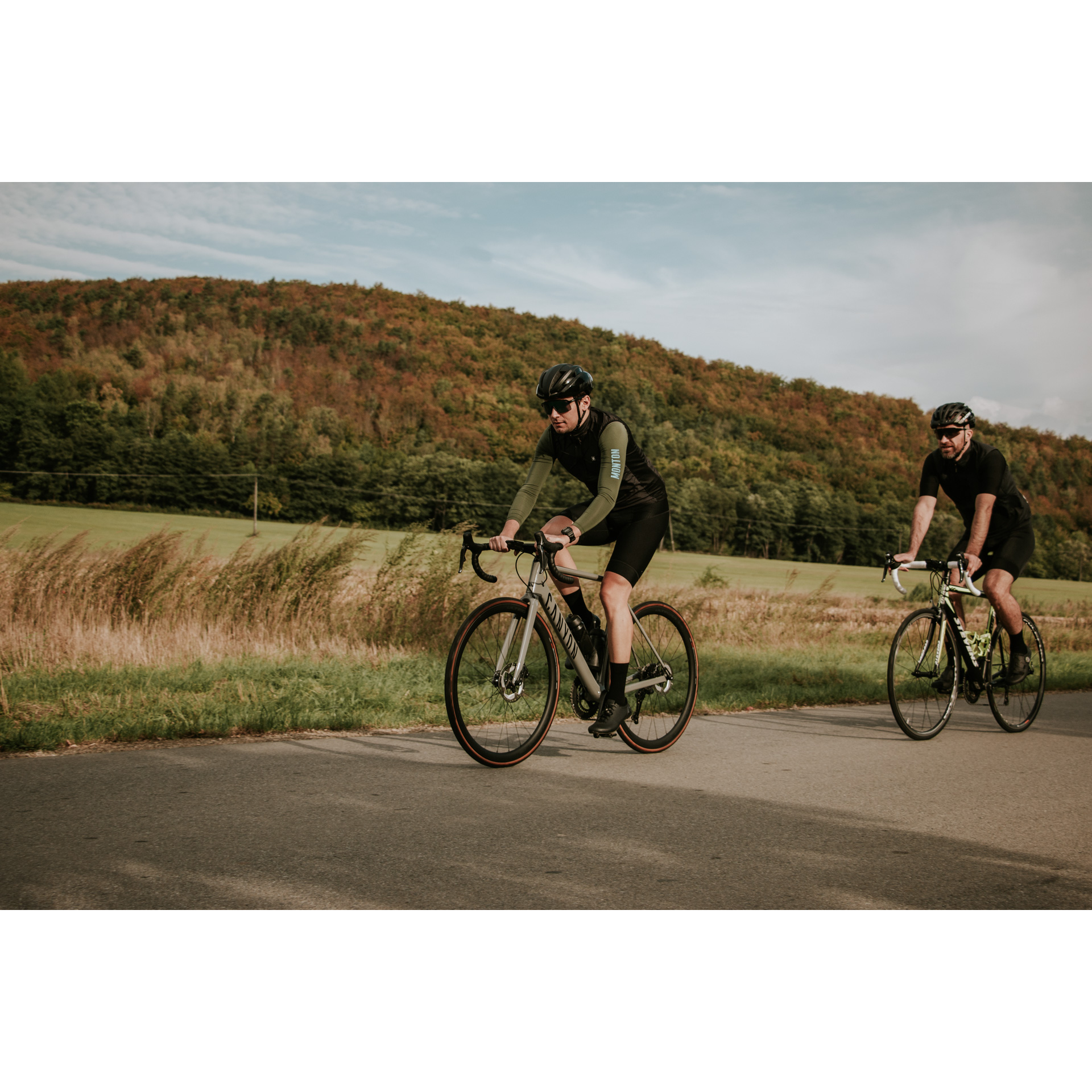
This is a route that will present you with many challenges, so we recommend it for the more experienced cyclists. There will be a few more demanding ascents on your journey. However, along the way, you will have the chance to rest at several specially designated rest stops.
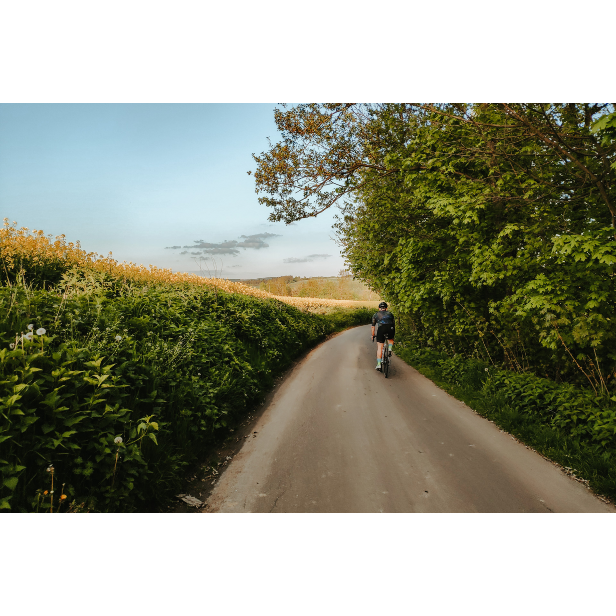
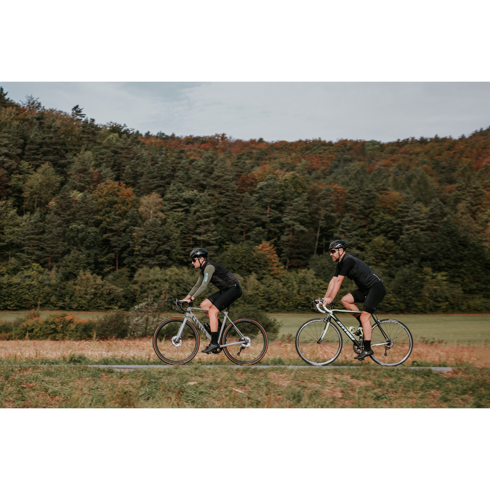
You will be impressed not only by the monuments and beautiful landscapes of the Podkarpackie region. During the almost 30-kilometre journey, it is worth stopping for a moment to appreciate the range of foothills stretching before you. You will have a chance to become better acquainted with the Podkarpackie forests, fields and meadows, as most of the way leads through them. This is an additional advantage for those who appreciate peace and tranquillity while riding and the absence of excessive car traffic.
Practical advices
When preparing for a route, be sure to check the weather forecast. This will allow you to take appropriate clothing and limit your luggage as much as possible. However, it is well known that the weather can be unpredictable, so be prepared if it gets worse. It is good practice to pack a thin rain jacket that does not take up much space.
Before starting the route, carefully analyse it on a map. Consider whether your skills and equipment are adequate for the level of difficulty of the route.
Download the accompanying .gpx file so that you always have your navigation at hand. To make sure your device doesn't fail you, also bring a power bank, charger or spare batteries. If the weather changes, you may find it useful to have a waterproof case for your electronic equipment.
Be sure to take drinks and food with you on long journeys; you never know when you will get hungry. Remember that a shop or restaurant may be located a long way away. We recommend that you stock up on water, isotonic drinks, energy bars and snacks. This will make sure you don't lose the motivation to continue riding.
The absolute basis for safety is, of course, a helmet. Also, prepare yourself technically. Make sure you have adequate lighting on your bike. Pack a repair kit. Spare inner tubes, a pump, a multitool, all of these things can come in handy in the event of a breakdown, which of course you don't want!
Rzeszów and its surroundings
Audiodeskrypcja tekstowa
Route details
Niebylec - Gwoździanka - Wyżne - Sołonka - Blizianka - NiebylecStart
- 1Niebylec0 kmNiebylec
Your route starts in Niebylec. You can leave your car in the car park near the church. Before continuing your journey, it is worth visiting the local synagogue. Dating back to the late 19th century, the building has served as a library since the 1970s. The only remnants of the past are the polychromes decorating its interior. Follow the national road no. 19, and when you reach the crossroads, turn right. Follow the main road and when you pass a grocery shop, turn left after it. You will then face a long ascent through Gwoździanka.
- 2Gwoździanka3.2 kmGwoździanka
The former Greek Catholic tserkva of St. Cosmas and Damian in Gwoździanka, although it does not look as it did when it was built at the turn of the 18th and 19th centuries, still hides treasures of the past, such as ancient icons.
At the pass, head left onto the gravel road, following the signs of the black hiking trail. Later, a downhill dirt road will take you to an asphalt road, which you will follow to the right. When you reach an intersection of roads, you will see a camping area ideal for rest. You will then take a sharp downhill through the forest to reach the next village. Cross the national road no. 19.
- 3Wyżne14.7 kmWyżne
In Wyżne, a significant, rather challenging ascent awaits you. You will pass the Maria Anna Vineyard. Then follow the signs of the black, and later the yellow, trail. When you reach Sołonka, turn left to the graduation tower.
- 4Sołonka21 kmSołonka
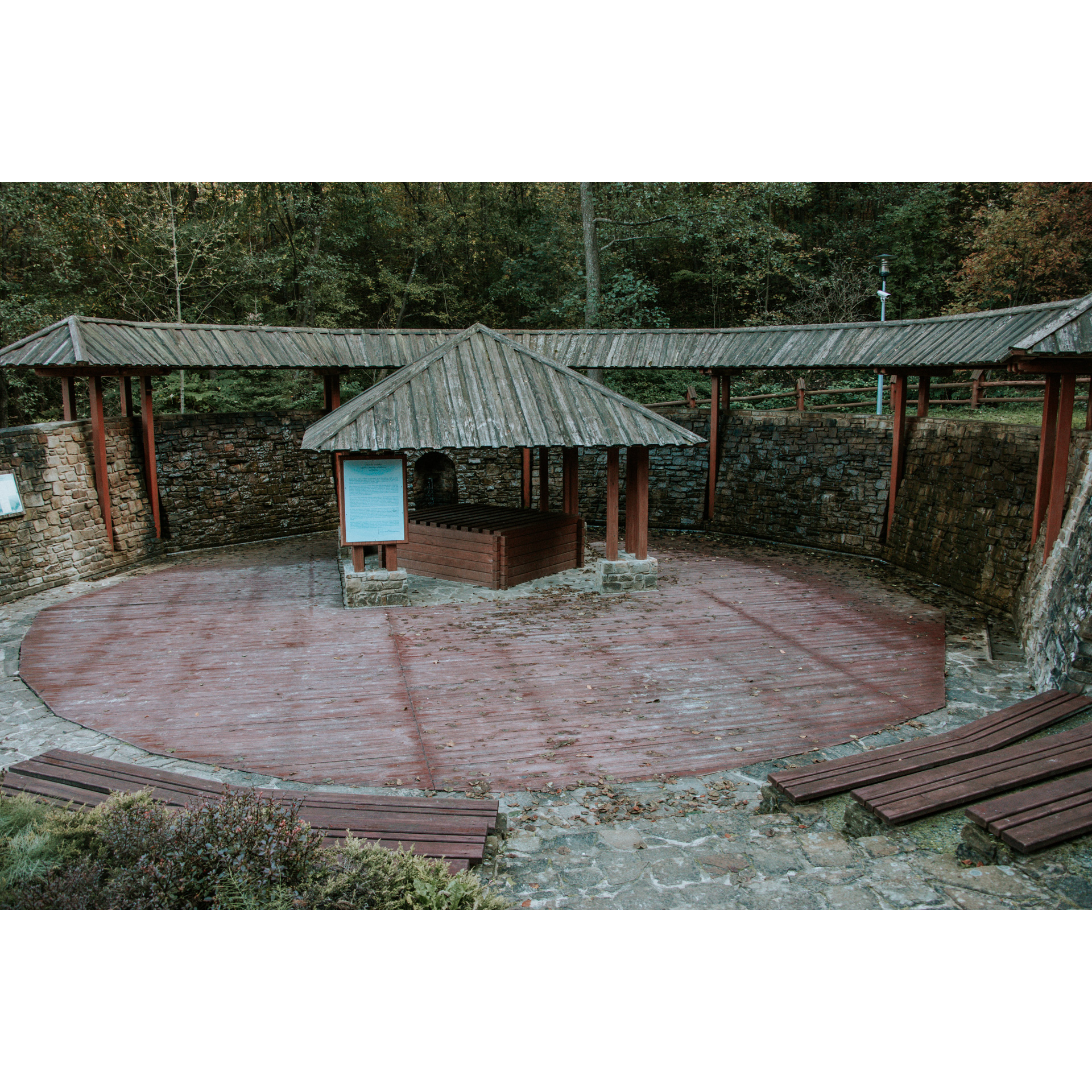
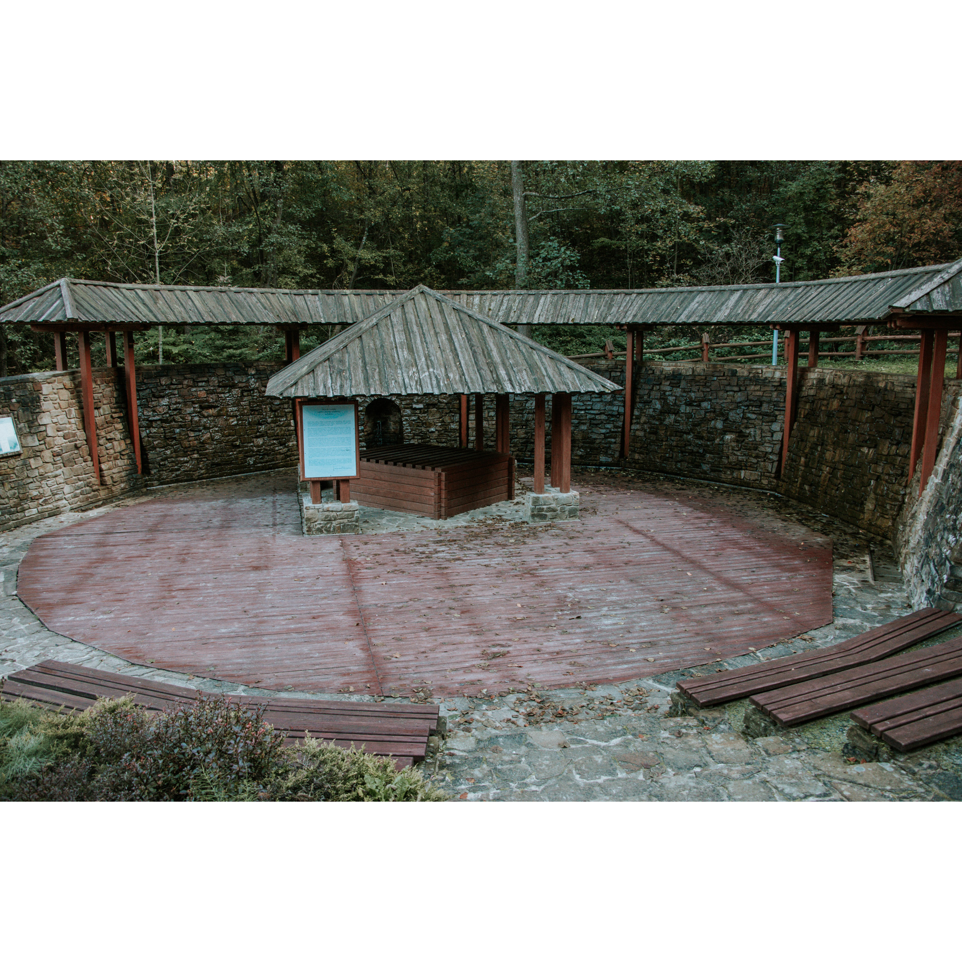
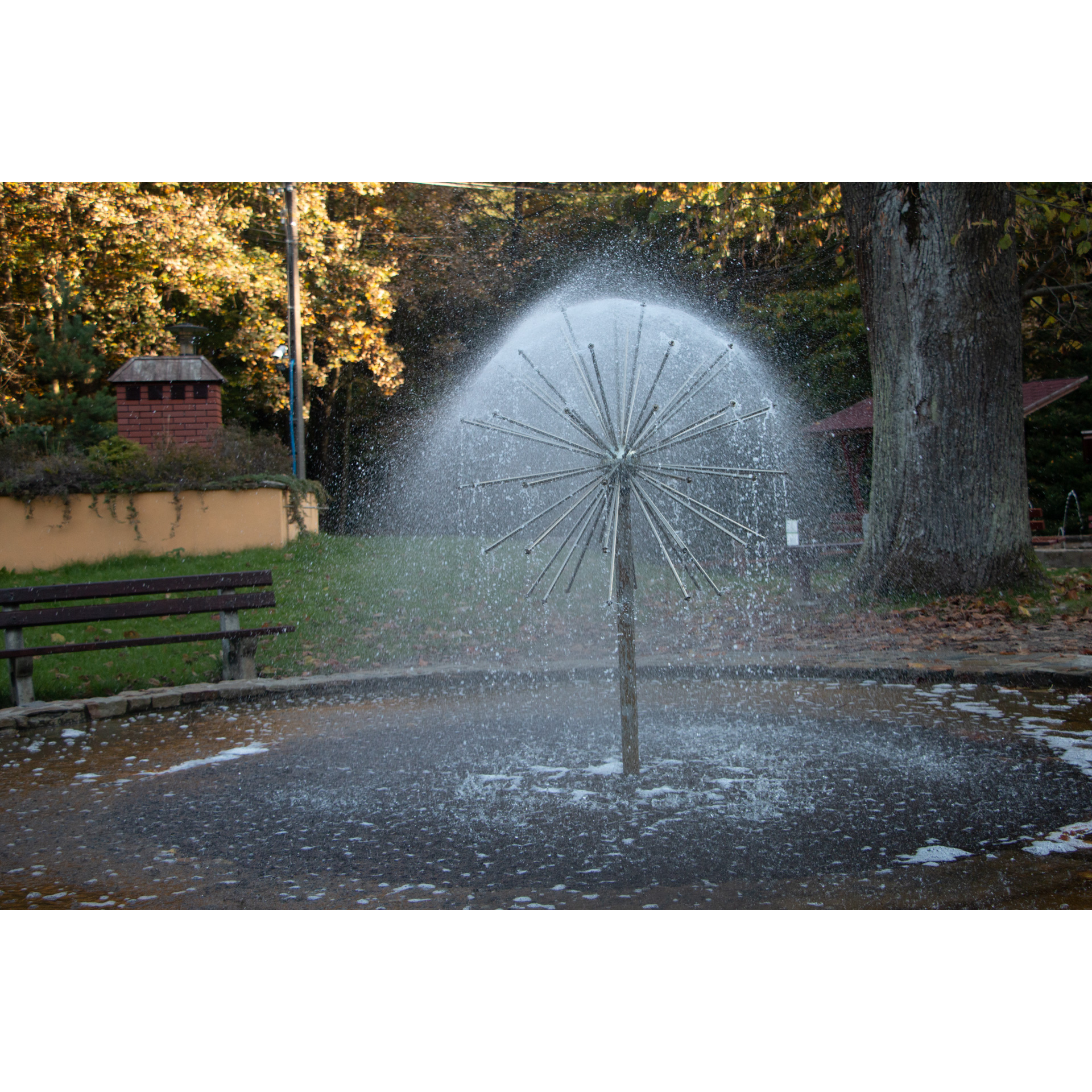
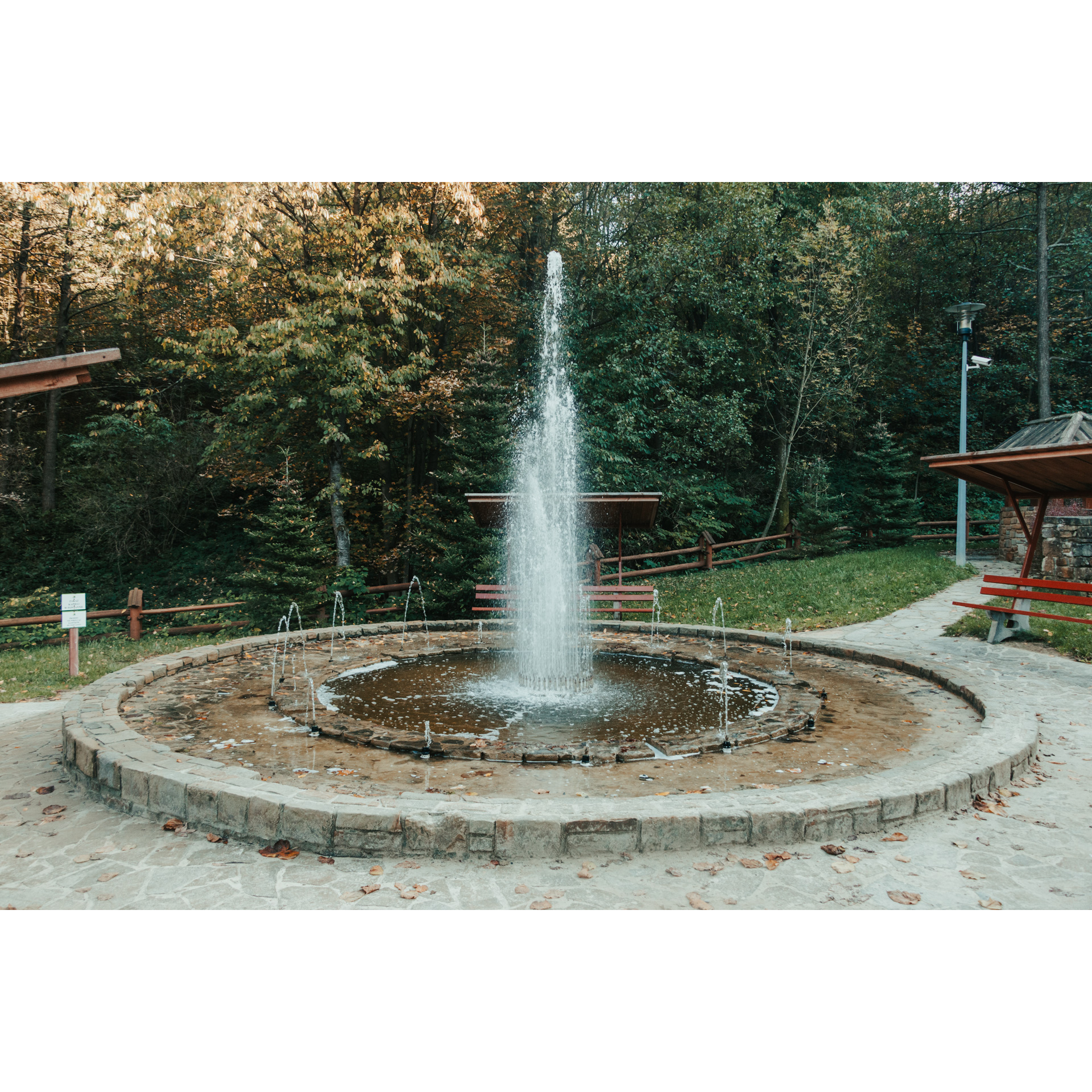
In Sołonka, you will have the opportunity to get to know the structure of the brine graduation tower. A characteristic feature of the water extracted from the area is the high content of iodine, which has a health-promoting effect. Near the graduation tower, there is also a museum where you can admire old mining tools.
While traversing the forest, you will come across a specially prepared camping site. The shed there will shelter you from possible rain. Then turn right and follow the asphalt road to Blizianka.
- 5Blizianka26 kmBlizianka
In Blizianka, there is the former wooden Greek Catholic tserkva of the Dormition of the Virgin Mary. This small, charming building was constructed in 1865. An interesting fact about it is that after so many years, the last century figural polychromes and fragmentarily, the iconostasis has still been preserved. The church has belonged to the Roman Catholic Church since 1947. Now head towards Niebylec.
- 6Niebylec29 kmNiebylec
The route forms a loop, so you end your journey where you started from. Time for a well-earned rest.
Attractions near this route
Gallery
Check other routes


