San and Vistula Valley
To the ridge of the Dynów Foothills
XML, 57.92kB
About this route
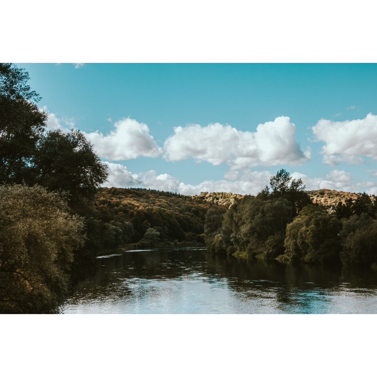
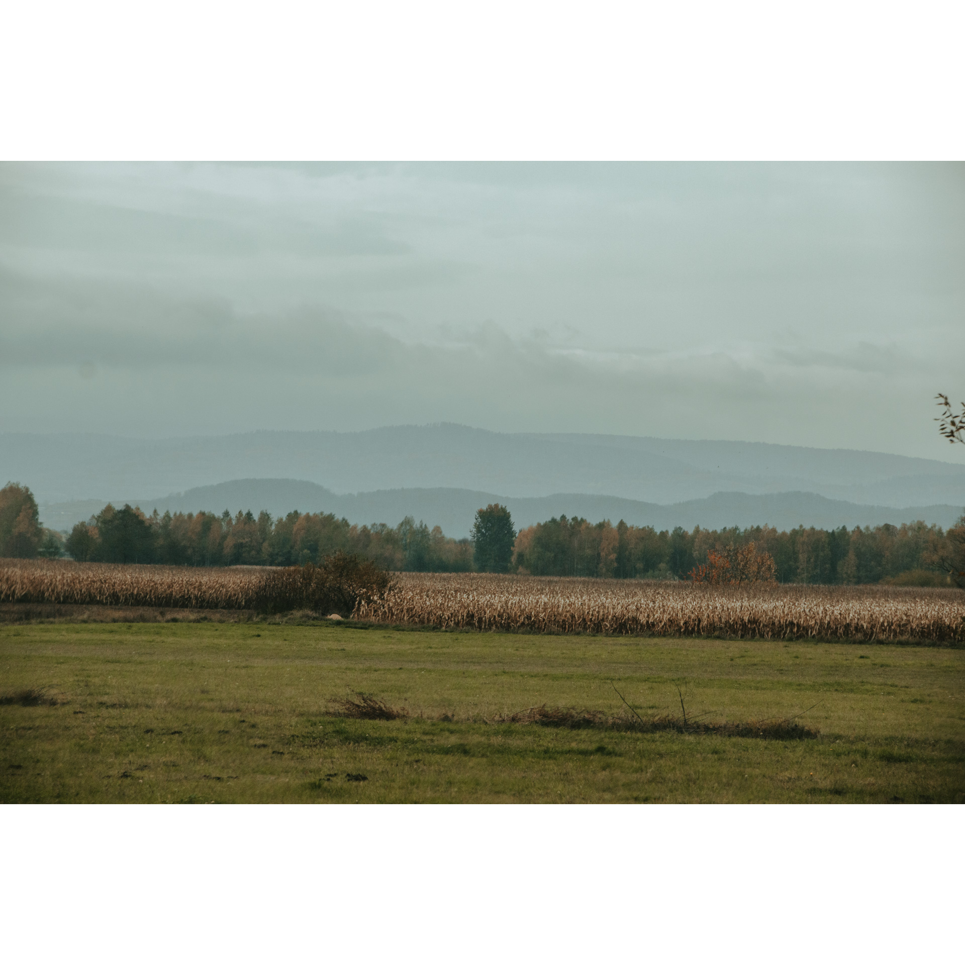
This route is not one of the easiest. It has considerable elevation gain and is quite long. This large loop leads to the main ridge of the Dynów Foothills. However, there is a possibility to shorten the trip - from Kramarzówka you can return directly to Pruchnik. During the ride, you will see landscapes characteristic of the San Valley and buildings with an intriguing history.
Practical advices
When preparing for a route, be sure to check the weather forecast. This will allow you to take appropriate clothing and limit your luggage as much as possible. However, it is well known that the weather can be unpredictable, so be prepared if it gets worse. It is good practice to pack a thin rain jacket that does not take up much space.
Before starting the route, carefully analyse it on a map. Consider whether your skills and equipment are adequate for the level of difficulty of the route.
Download the accompanying .gpx file so that you always have your navigation at hand. To make sure your device doesn't fail you, also bring a power bank, charger or spare batteries. If the weather changes, you may find it useful to have a waterproof case for your electronic equipment.
Be sure to take drinks and food with you on long journeys; you never know when you will get hungry. Remember that a shop or restaurant may be located a long way away. We recommend that you stock up on water, isotonic drinks, energy bars and snacks. This will make sure you don't lose the motivation to continue riding.
The absolute basis for safety is, of course, a helmet. Also, prepare yourself technically. Make sure you have adequate lighting on your bike. Pack a repair kit. Spare inner tubes, a pump, a multitool, all of these things can come in handy in the event of a breakdown, which of course you don't want!
Dolina Sanu i Wisły
Audiodeskrypcja tekstowa
Route details
Pruchnik - Jodłówka - Hucisko Nienadowskie - Kramarzówka - Helusz - Wola Węgierska - Węgierka - PruchnikStart
- 1Pruchnik0 kmPruchnik
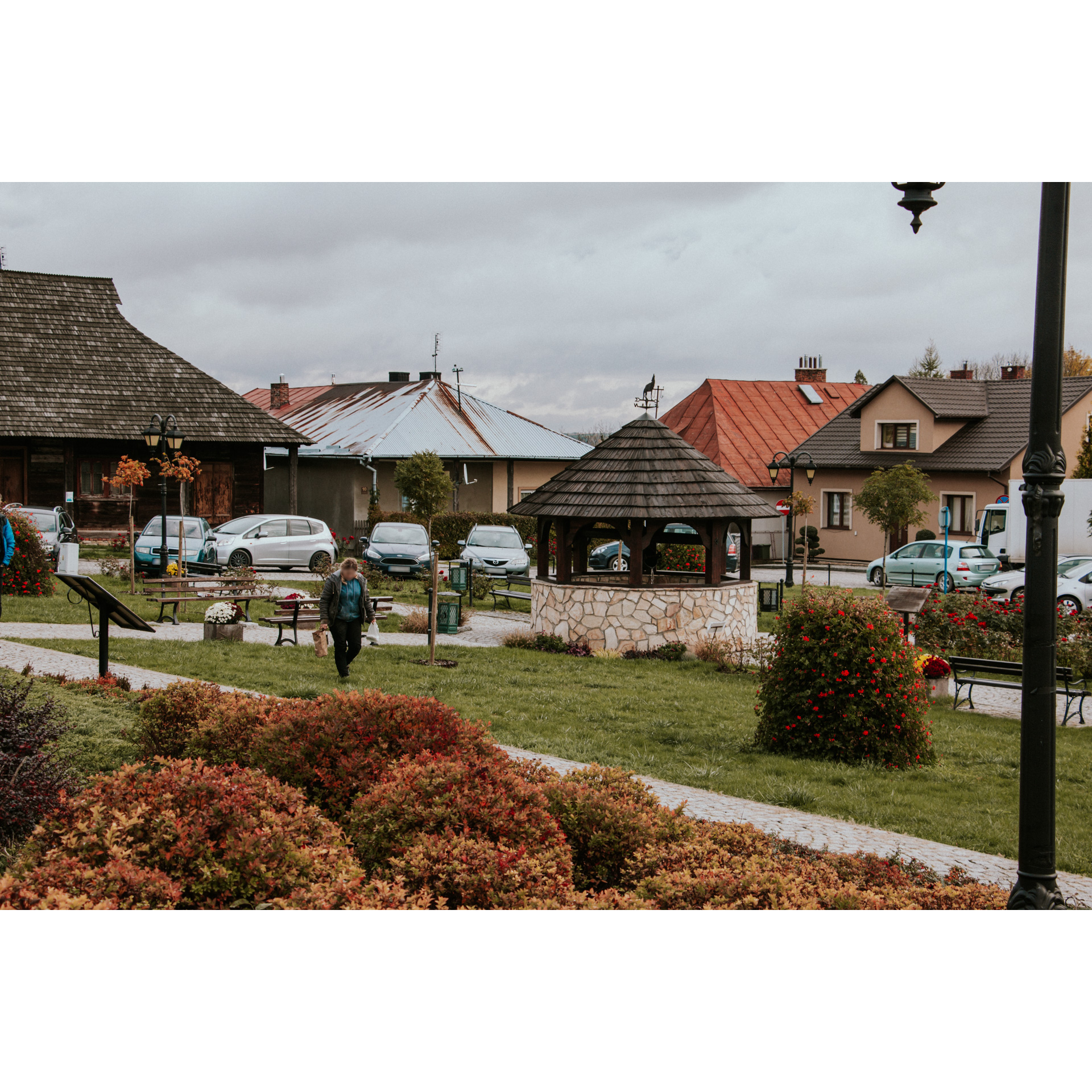
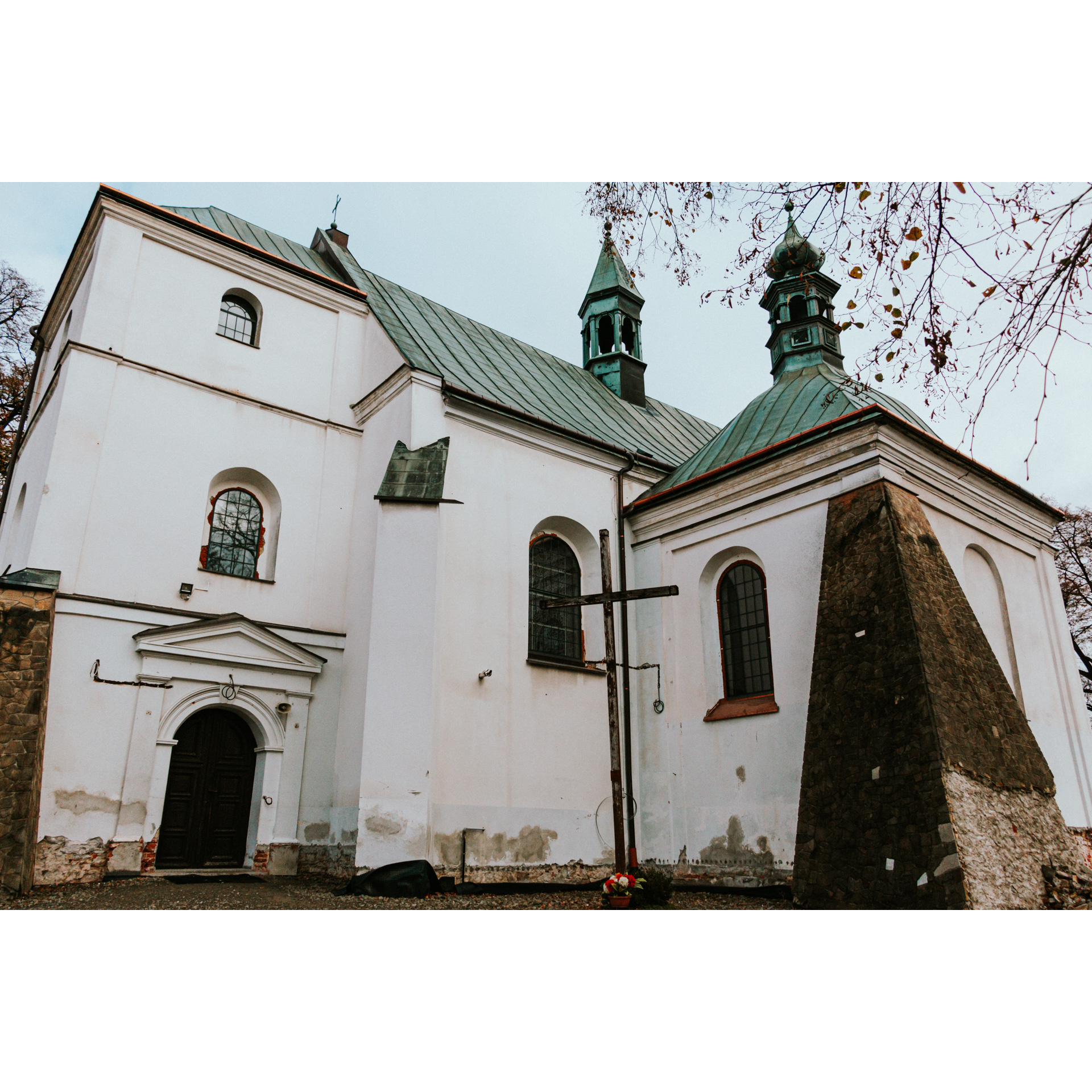
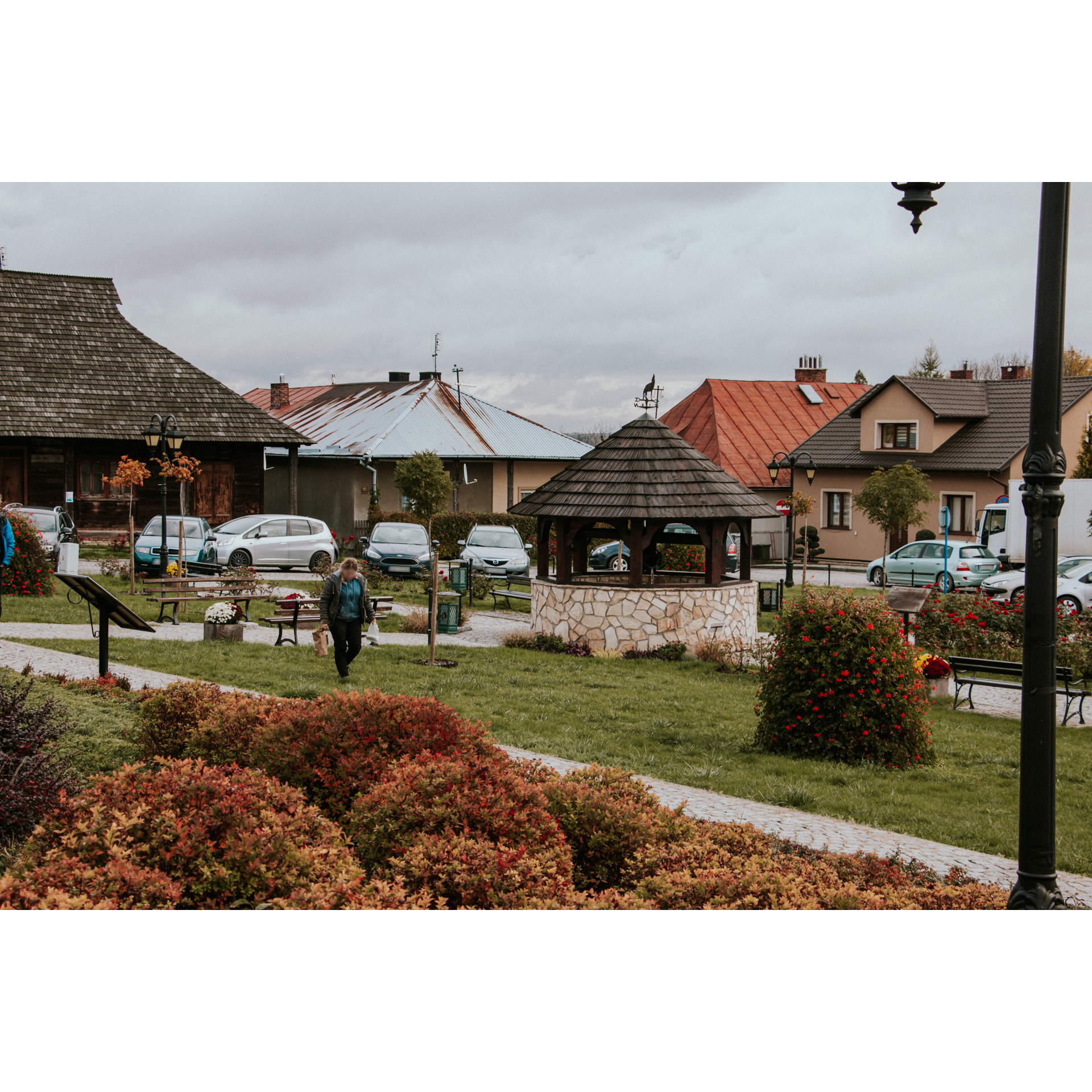
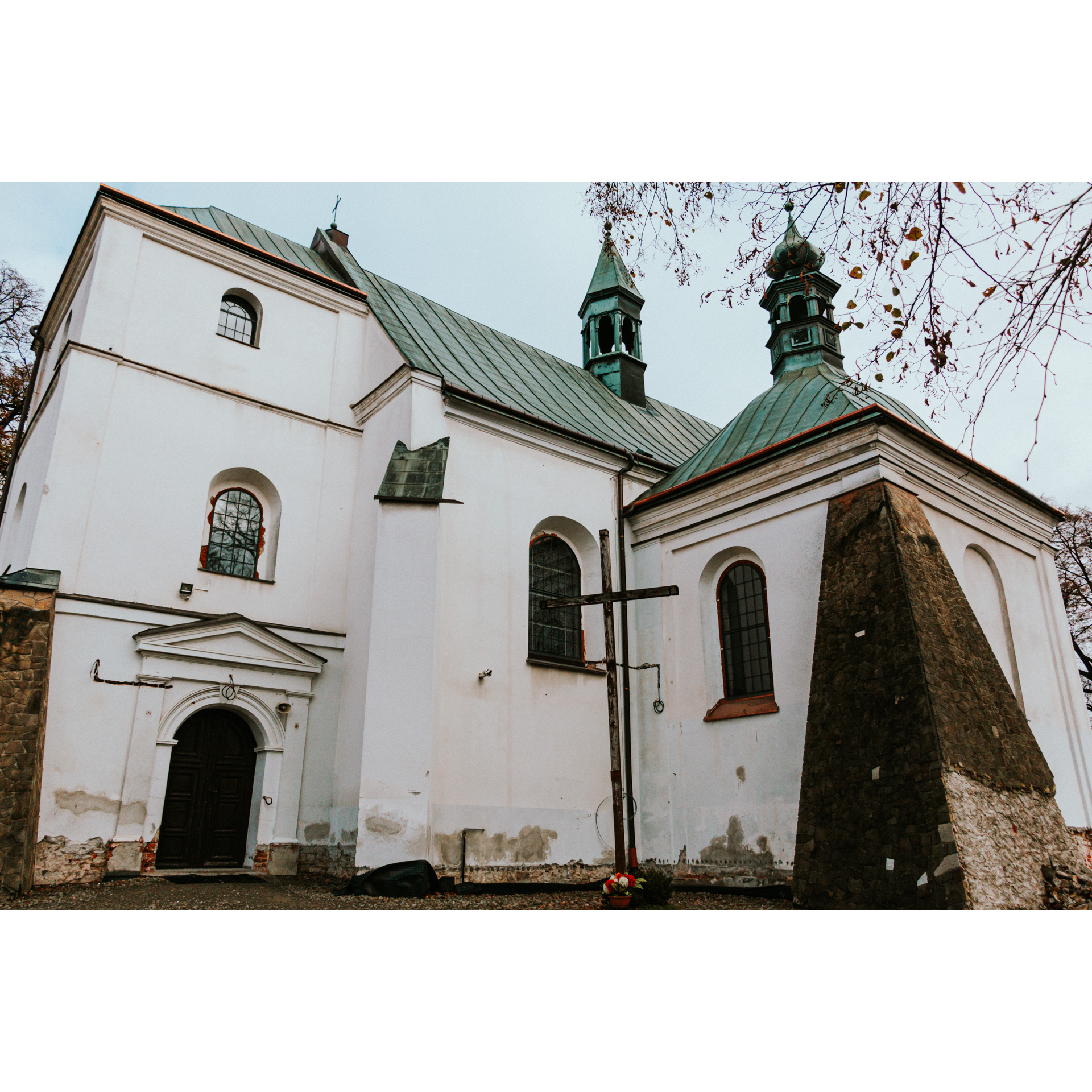
This is where your route starts - at the market square in Pruchnik. But before you set off, we recommend taking a look around this place, where characteristic buildings dominate, giving the town the appearance of a typical Galician town. A point worth stopping at is the Church of St. Nicholas the Bishop, located near the market square. It was built in the 14th century and originally had a Gothic character, but was later rebuilt in the late Renaissance style.
Follow the regional road no. 881 north. Before the shopping centre and petrol station, take the side road towards Jodłówka. If you want to see the local sanctuary, turn right one kilometre further onto a side road (access will be indicated by signs).
- 2Jodłówka6.1 kmJodłówka
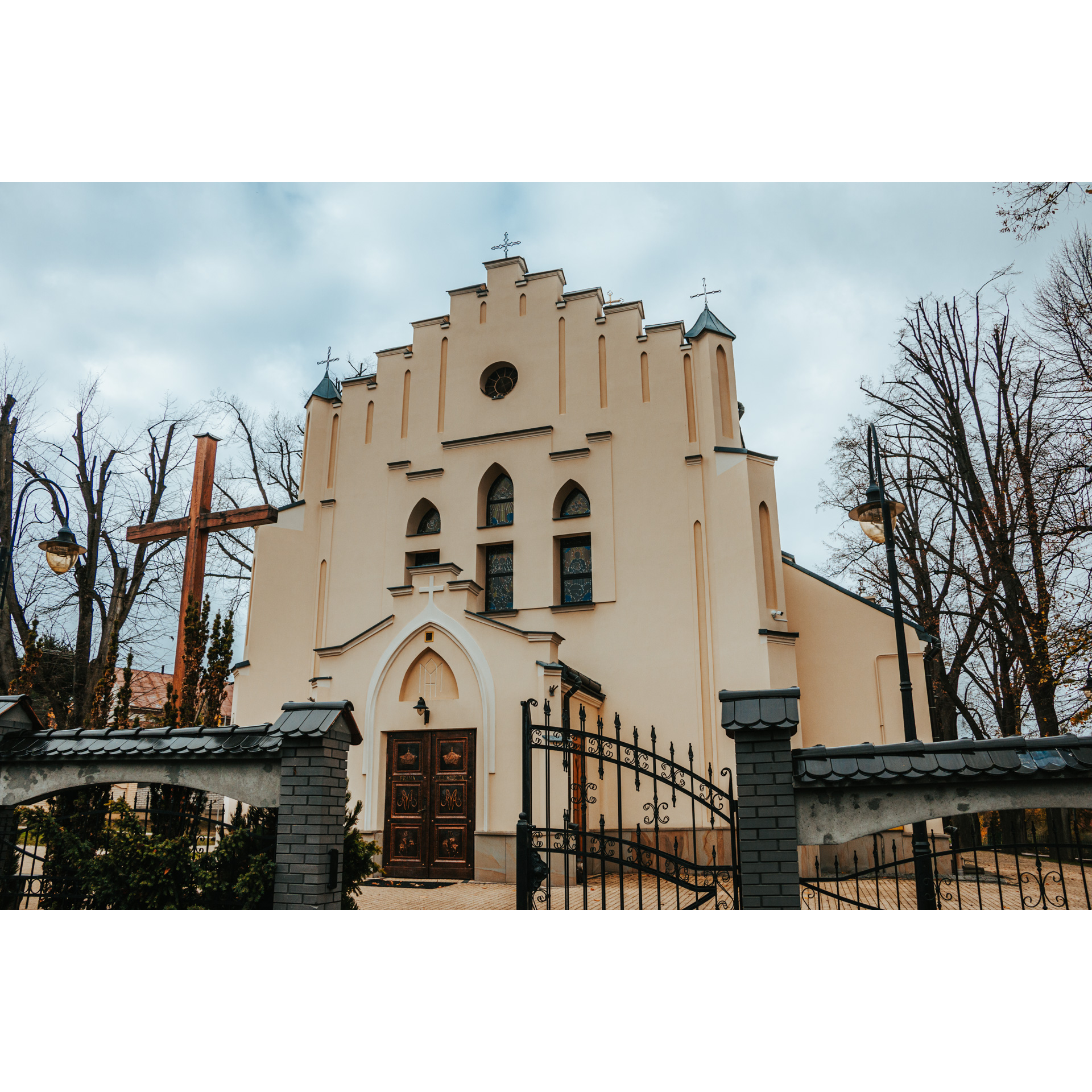
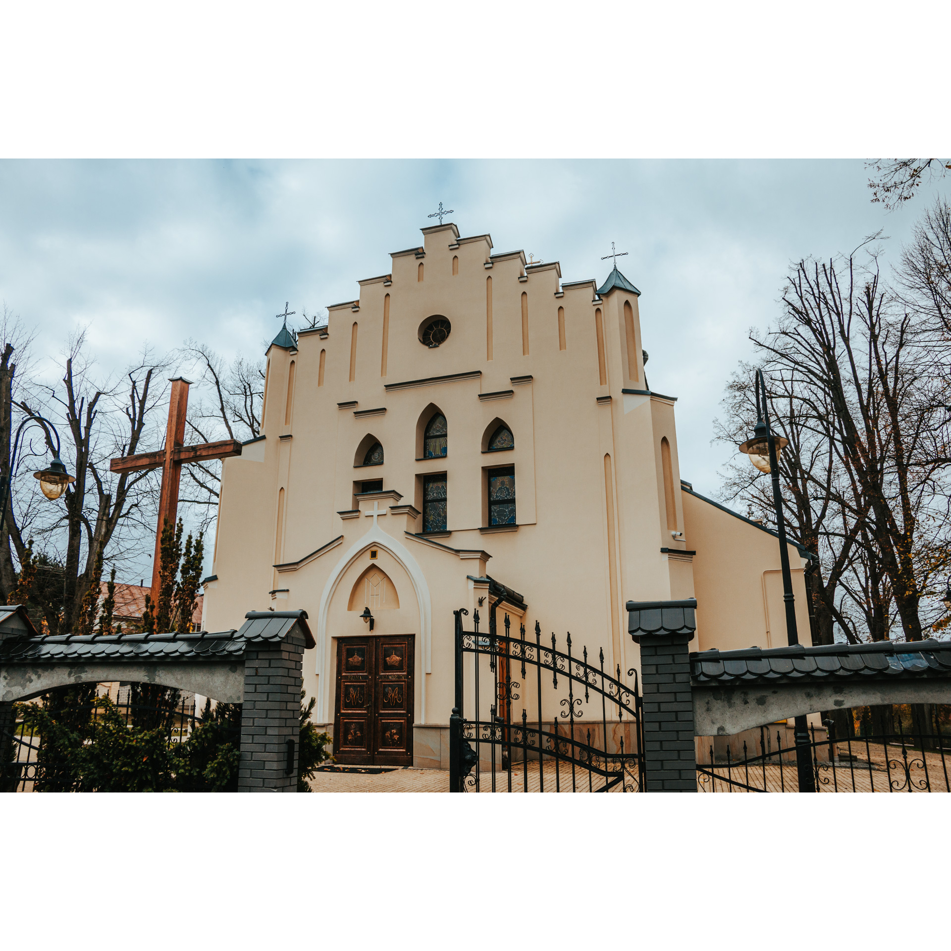
To see the Sanctuary of Our Lady of Consolation, you need to deviate slightly from the route. This involves an additional 2 km to get to and from the main road. However, it is worth it. The Sanctuary is very interesting. Among other things, there is a painting of the Mother of God, which most likely dates back to 1743. In addition, the place is famous for favours and is an object of worship. According to legends, the painting appeared on a nearby tree next to a healing spring.
- 3Hucisko Nienadowskie11.3 kmHucisko Nienadowskie
This is where you will pass if you decide to take the more difficult route running through Jodłówka. Remember that the variant bypassing it (going straight ahead) is much easier. It leads along a renovated wide road. It is also a much less wavy and very scenic road.
- 4Kramarzówka21.7 kmKramarzówka
At the junction of the two route options, not far from Kramarzówka, a long but gentle descent begins. It leads up to a place with a parking area and a distinctive road to the left, closed by a barrier. Leave the asphalt road and turn onto this road. The first 1.5 km is a ride on dilapidated asphalt and gravel. It is strenuous, but the following kilometres are on a comfortable asphalt and heavily undulating forest lane.
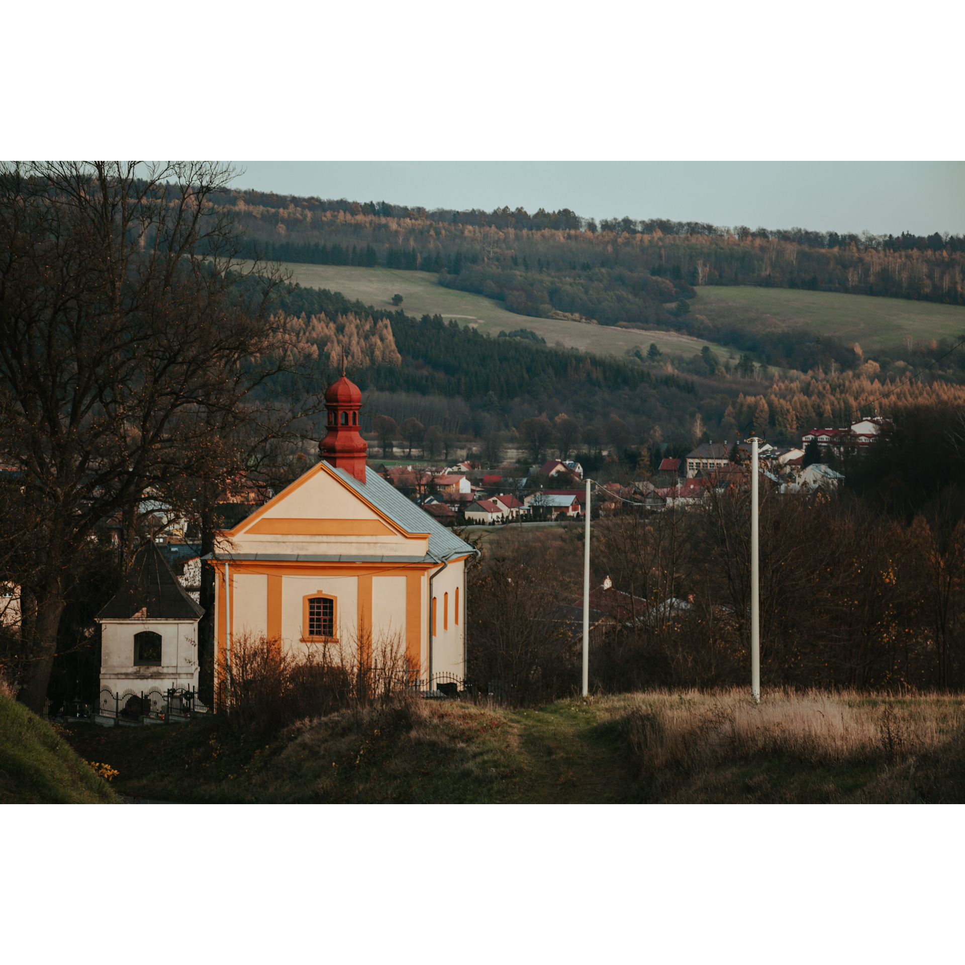
In Kramarzówka, turn left. Here you will pass the tserkva and reach the centre of the village. Passing through the village, you can stop at the former Greek Catholic Tserkva of the Elevation of the Cross. It was built in 1790.
- 5Helusz24.9 kmHelusz
At the intersection, follow the trail to the right. A fairly steep and long climb will lead you to the main ridge of the Dynów Foothills in the village of Helusz. Here, head left, following the signs of The East of Poland Cycling Trail Green Velo. Ahead of you is a long, pleasant descent. First through the forest and then through the villages of Wola Węgierska and Węgierka.
- 6Wola Węgierska27.6 kmWola Węgierska
At the first junction in Wola Węgierska, the East of Poland Cycling Trail Green Velo turns right, but you turn left and following the red trail.
- 7Węgierka32 kmWęgierka
Enter the regional road no. 881, then turn left a few metres further on into a side street, which will take you back to the market square in Pruchnik.
- 8Pruchnik36.9 kmPruchnik
This is the end of your cycling trip. You finish the route at the starting point.
Attractions near this route
Gallery
Check other routes


