San and Vistula Valley
The hills and valleys on the west bank of the San River
XML, 110.88kB
About this route
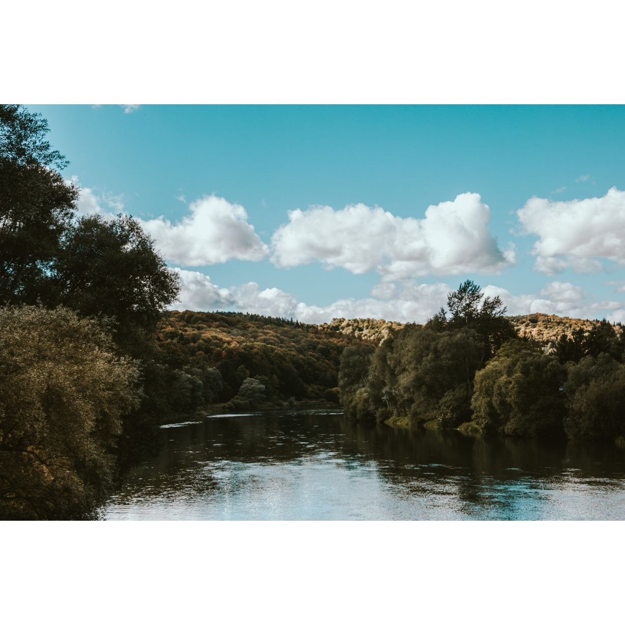
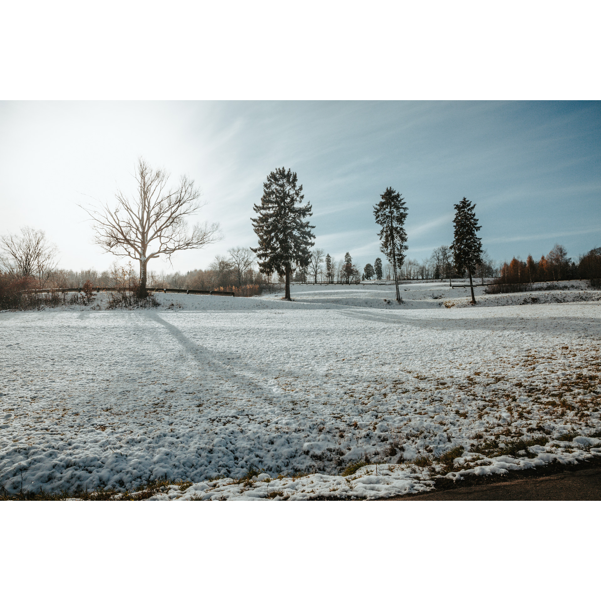
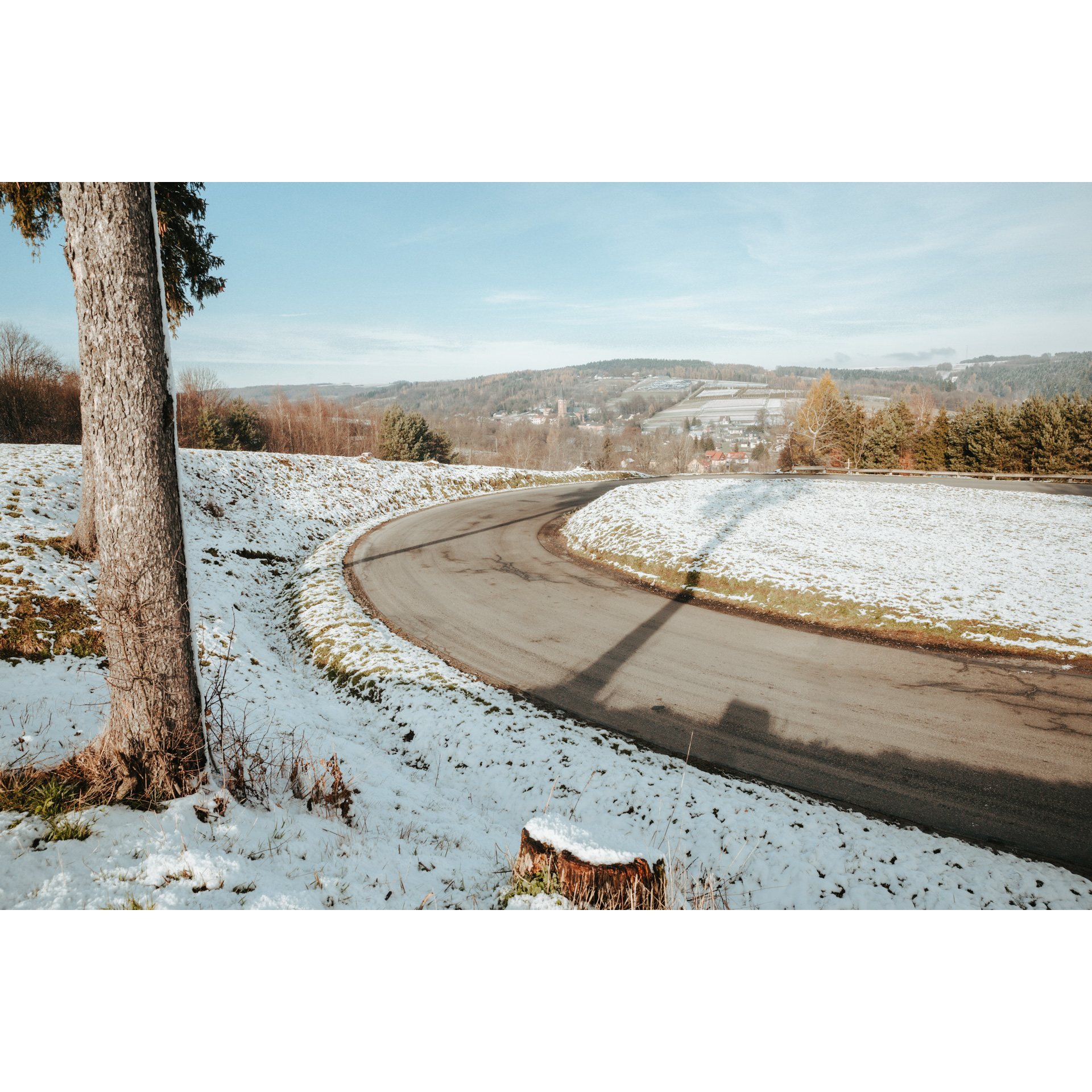
This is a straightforward route of around 55 km. It leads through villages in the southern part of the Dynowsko-Strzyżowski Foothills. It winds through the hills and runs through valleys. The lovely views from the peaks to the valleys and from the valleys to the slopes are enhanced by gems of architecture, mainly sacred. You will also have the opportunity to learn about the geological structure of the region through rock slides.
Practical advices
When preparing for a route, be sure to check the weather forecast. This will allow you to take appropriate clothing and limit your luggage as much as possible. However, it is well known that the weather can be unpredictable, so be prepared if it gets worse. It is good practice to pack a thin rain jacket that does not take up much space.
Before starting the route, carefully analyse it on a map. Consider whether your skills and equipment are adequate for the level of difficulty of the route.
Download the accompanying .gpx file so that you always have your navigation at hand. To make sure your device doesn't fail you, also bring a power bank, charger or spare batteries. If the weather changes, you may find it useful to have a waterproof case for your electronic equipment.
Be sure to take drinks and food with you on long journeys; you never know when you will get hungry. Remember that a shop or restaurant may be located a long way away. We recommend that you stock up on water, isotonic drinks, energy bars and snacks. This will make sure you don't lose the motivation to continue riding.
The absolute basis for safety is, of course, a helmet. Also, prepare yourself technically. Make sure you have adequate lighting on your bike. Pack a repair kit. Spare inner tubes, a pump, a multitool, all of these things can come in handy in the event of a breakdown, which of course you don't want!

Dolina Sanu i Wisły
Audiodeskrypcja tekstowa
Route details
Dynów – Izdebki – Wesoła – NozdrzecStart
- 1Dynów0 kmDynów
The tour will start at the bridge over the San River. Go off it in a westerly direction and turn left. Riding along the river, you will reach the village of Nozdrzec. You can stop there at the palace and the chapel next to it. The palace is a recently renovated mid-19th-century structure with a distinct classicist manner. It is not open to the public. The chapel is in a similar style. Inside there is an image of the Virgin Mary. There is also plenty of space to rest in 2 shelters for tourists. Continue to the village of Wara; to get there, turn right at the crossroads, thus leaving the regional road no. 835. The tiny wooden tserkva is worth seeing. Do not deviate from the road, it will lead you for 5 km along the edge of the forest to a crossroads, turn right there. You have reached Izdebka.
- 2Izdebki17 kmIzdebki
You will enter the village from the south. Visit the tserkva there and the cemetery next to it. Near the fire station, a wide curve to the left will begin, in the centre of which is the manor house and manor park, as well as the Kopiec Niepodległości (Independence Mound) and the Kopiec 3 Maja (the 3rd of May Mound). Although you cannot enter the building, you can admire its symmetrical facade with a portico supported by 4 columns and a terrace above. It is separated from the road on one side by a small pond, which creates a lovely view. Now you will have to drive up a serpentine hill. This is a very picturesque landscape, very Bieszczady-like. It climbs up the slope of Wielka Góra but does not reach the summit at 457 m. You will then descend to Przysietnica. At the church go straight on and pass through the forest. Stop to pay tribute to the Home Army partisans who died here in 1943 in a skirmish with the Germans or were shot after being taken prisoner. Turn right behind the forest to follow the forest northwards. In Golcowa, visit the Gothic wooden Church of St Barbara, a former tserkva which retains some of its original furnishings, including a rood beam. Turn then north into the road between the school and the stadium. You will enter a forest on a hill, which takes you to a crossroads among fields; make a sharp right turn. After 2 km, you will need to choose a direction to the left. You will make sure you are going the right way when you pass the church and the fire station.
- 3Wesoła40 kmWesoła
As you enter the village, turn right and follow the main road. Pass the cemetery and continue along the Baryczka Valley. Stop at the church in Hłudnie. Then head east. You will ride through a valley among hillsides. You will reach a hill at the foot of which a landslide has exposed a rock structure. You will notice a distinctive shale structure, with distinctly separated layers lying on top of each other and next to each other. A mixed woodland grows on the summit. Be careful the rock fragments could fall at any time, creating a serious hazard. Go around the hill and you will reach Nozdrzec. It is worth stopping at the small Baroque Church of St Stanislaus the Bishop.
- 4Nozdrzec52 kmNozdrzec
Recognise the palace and the road? Turn left and ride along the San River to reach the bridge in Dynów from where you started. Your trip ends here, at 56 km.
Gallery


Check other routes


