Rzeszów and its surroundings
From the market square to the airport and back
XML, 86.02kB
About this route
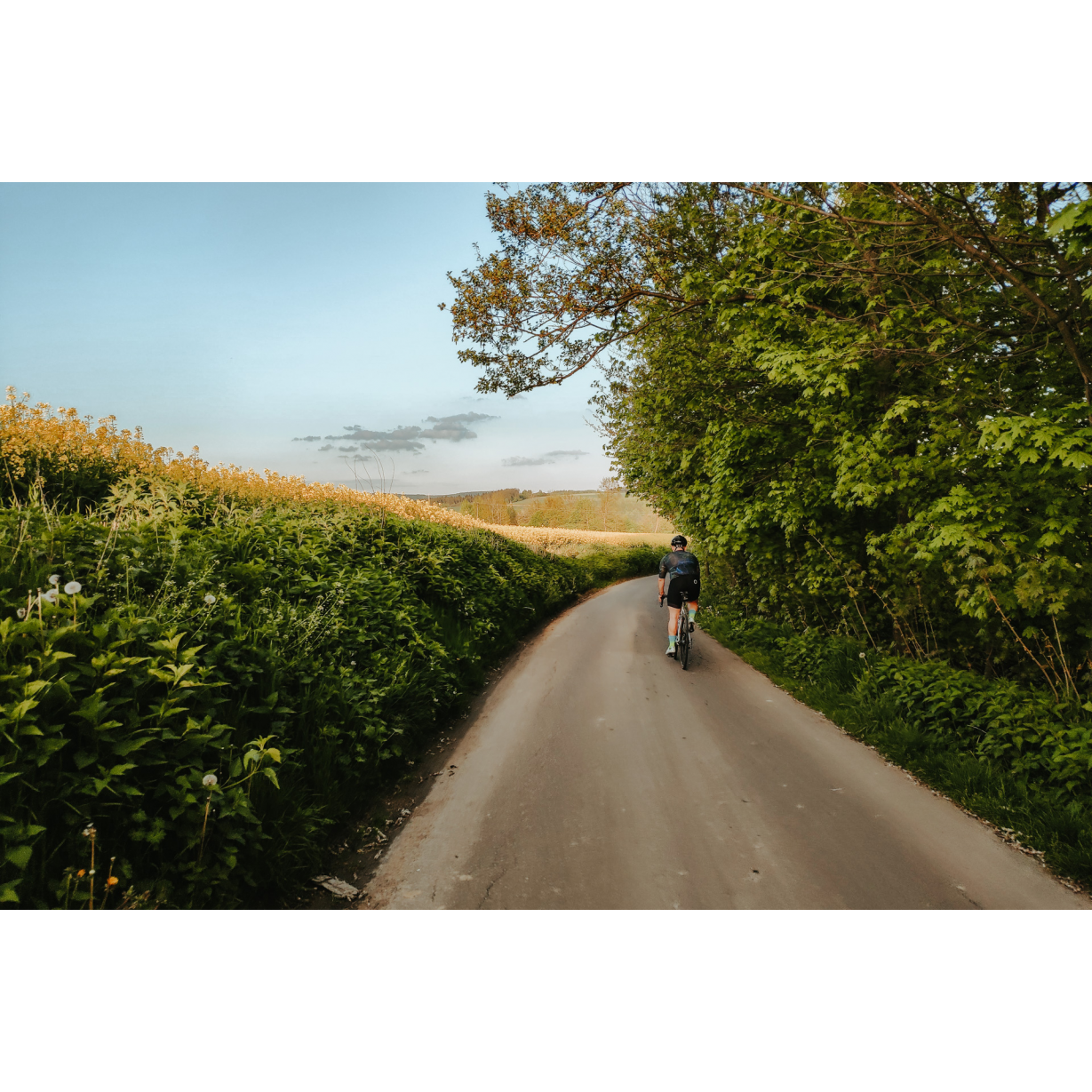
An easy route leading through flat areas to the north of Rzeszów. Along the way, you can admire the banks of the Wisłok River, the Jasionka airport, numerous churches, chapels, and the countryside, which, though transformed by agriculture, is not devoid of soothing beauty. In this journey, you could say we combine tradition and modernity, nature with technology, and relaxation with joyful fatigue after nearly 50 km. And in the end, you can eat and drink at the beautiful Rzeszów market square.
Practical advices
Although this route is not demanding, it is worth preparing for it properly, so that nothing surprises you at any point. Start with the most important thing, which is your helmet. A good helmet is essential for your safety. Take care also of proper lighting, both front and rear. In addition to bike lights, equip your bike with reflectors so that you are highly visible on the road.
What else is worth taking with you on a trip? Make sure to pack a sweatshirt or a rail jacket in your backpack, in case the weather changes. It is also a good idea to bring snacks to give you energy during the trip. Protein bars or energy mousses work well.
If you plan to take visit the attractions along the route, you will need to leave your bike behind in some places. To make sure it is still there after the tour, be sure to bring a bike safety device such as a U-Lock or any bicycle lock.
Rzeszów and its surroundings
Audiodeskrypcja tekstowa
Route details
Rzeszów – Jasionka – Głogów Małopolski – RzeszówStart
- 1Rzeszów market square0 kmRzeszów market square
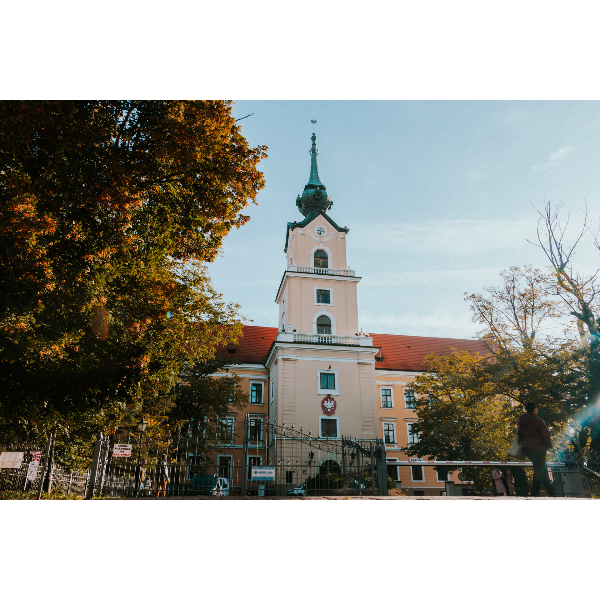
Although many of our excursions started at Stal Rzeszów Stadium, this time we will start at the Rzeszów Market Square. Take a look around this beautiful place where you can feel the influence of the Austro-Hungarian Monarchy, mainly thanks to the Secession-style tenement houses and the town hall maintained in the Neo-Gothic and Neo-Renaissance style. The building was erected in the 17th century, and then it was modernized and revitalized several times, achieving an interesting and coherent structure, with a particular emphasis on arcades with balconies, projections, and an elaborate attic. From the square, head east on Mickiewicz Street. Through the Cichociemni Square with the sculpture "Przejście 2001" by Józef Szajna. At the Old Cemetery, turn left onto Targowa Street. The Old Cemetery itself is worth a visit, as is the cemetery's church of the Dormition of the Most Holy Mother of God. Cross Józef Piłsudski Avenue, and then at the roundabout, take the second exit onto Fredry Street. It continues as Styki Street and Batorego Street, passing under the railway tracks. Go straight to the intersection near the Tax Office. Turn right onto Ciepłownicza Street, crossing the bridge over the Wisłok River. Follow the road alongside allotment gardens until you reach Rzecha Street. Keep going straight, choosing the route between the industrial buildings of the combined heat and power plant. Soon you will reach the village of Trzebownisko. You can continue to enjoy the landscapes of the eastern bank of the Wisłok River. Stick to the right bank, passing through Trzebownisko - at the intersection near the Volunteer Fire Brigade station, go straight. When you reach the A4 motorway near the Rzeszów-Wschód interchange, cross to the other side using service roads. This will take you to a suspension footbridge, cross it to the opposite bank. Right after the footbridge, turn left, and reaching regional road 878, turn right, heading north. After a few hundred metres, you will notice the airport on your left. Ride along its perimeter fence, choosing the second exit at the roundabout. If you are lucky, you might see planes taking off or landing, especially when the weather is clear, visible already from Łańcut.
- 2Jasionka airport11.8 kmJasionka airport
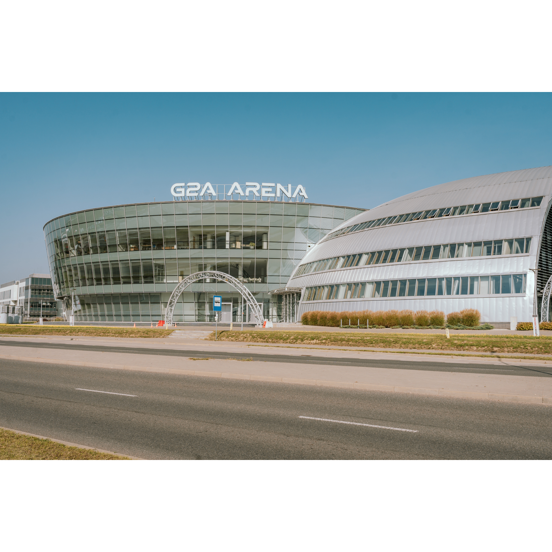
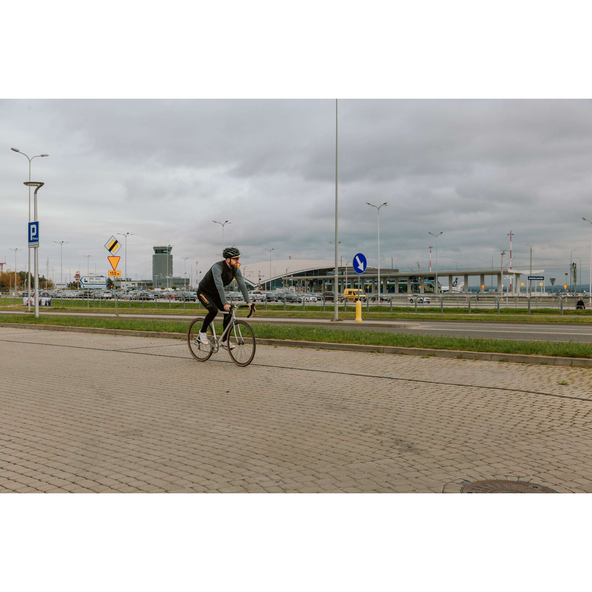
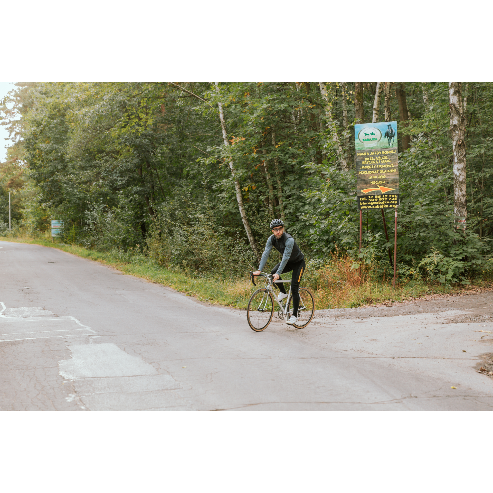
Standing at the roundabout in front of the Aeroklub Rzeszowski headquarters, where a PZL-104 Wilga airplane stands as a monument, turn to travel along the runway in a westward direction. Did you know that this runway is the second longest in Poland, measuring 3,200 metres? How long will it take you to cover this distance, and how about a taking off or landing aircraft? Additionally, this airport enjoys the highest number of flight days in the country and ideal landing conditions. The road leads under the terminal building, which is shaped like a tent secured at four corners. Near the airport, there is an industrial zone and interesting facilities - the G2A Arena Convention and Exhibition Centre and the "Łukasiewicz" Podkarpackie Science Centre. Pass through the forest behind the airport until you reach a roundabout, then proceed straight. After the viaduct over the railway tracks, turn right, and after 300 metres, turn left. Proceed along Niepodległości Avenue until you enter the village of Rogoźnica. Drive through this Subcarpathian village and stay on the main road, which curves past a wayside cross. At the next intersection, by a roadside chapel with a Marian statue, turn right. You are entering the village of Lipie, which you will pass through for 2.3 km to the next turn at the Volunteer Fire Brigade station in Wola Cicha. Turn left there. After 800 metres of road through the dense village buildings, turn left at a Y-shaped intersection. Ride through groves and rural areas until you reach the village of Zabajka. At the intersection after 1.5 km, take the right-hand road with the right of way. Then, turn left before the cemetery in Głogów Małopolski. In the vicinity, you will find the well-known Zabajka equestrian club and the "Strzelka" shooting range. Both places are worth visiting and taking advantage of their offerings.
- 3Głogów Małopolski26 kmGłogów Małopolski
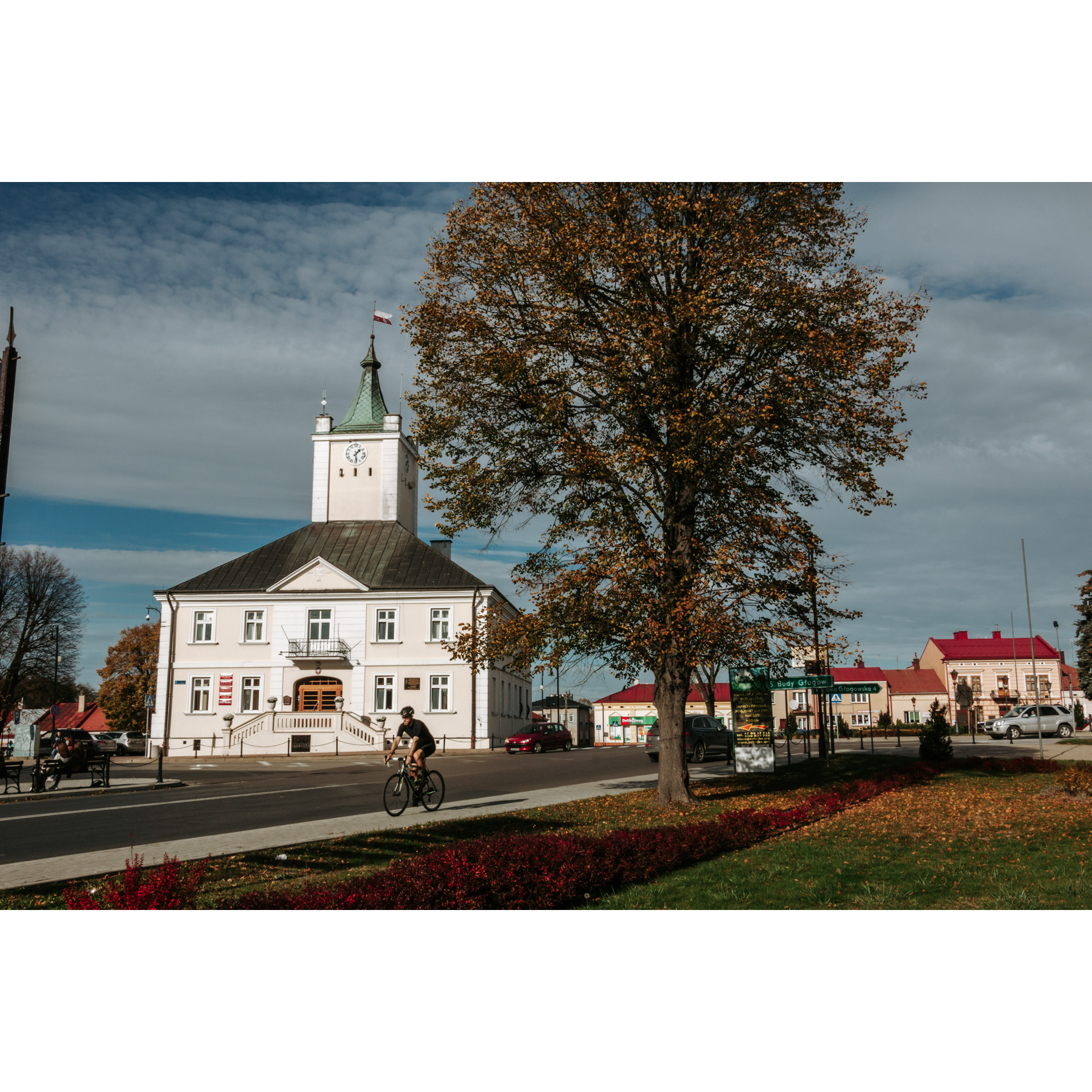
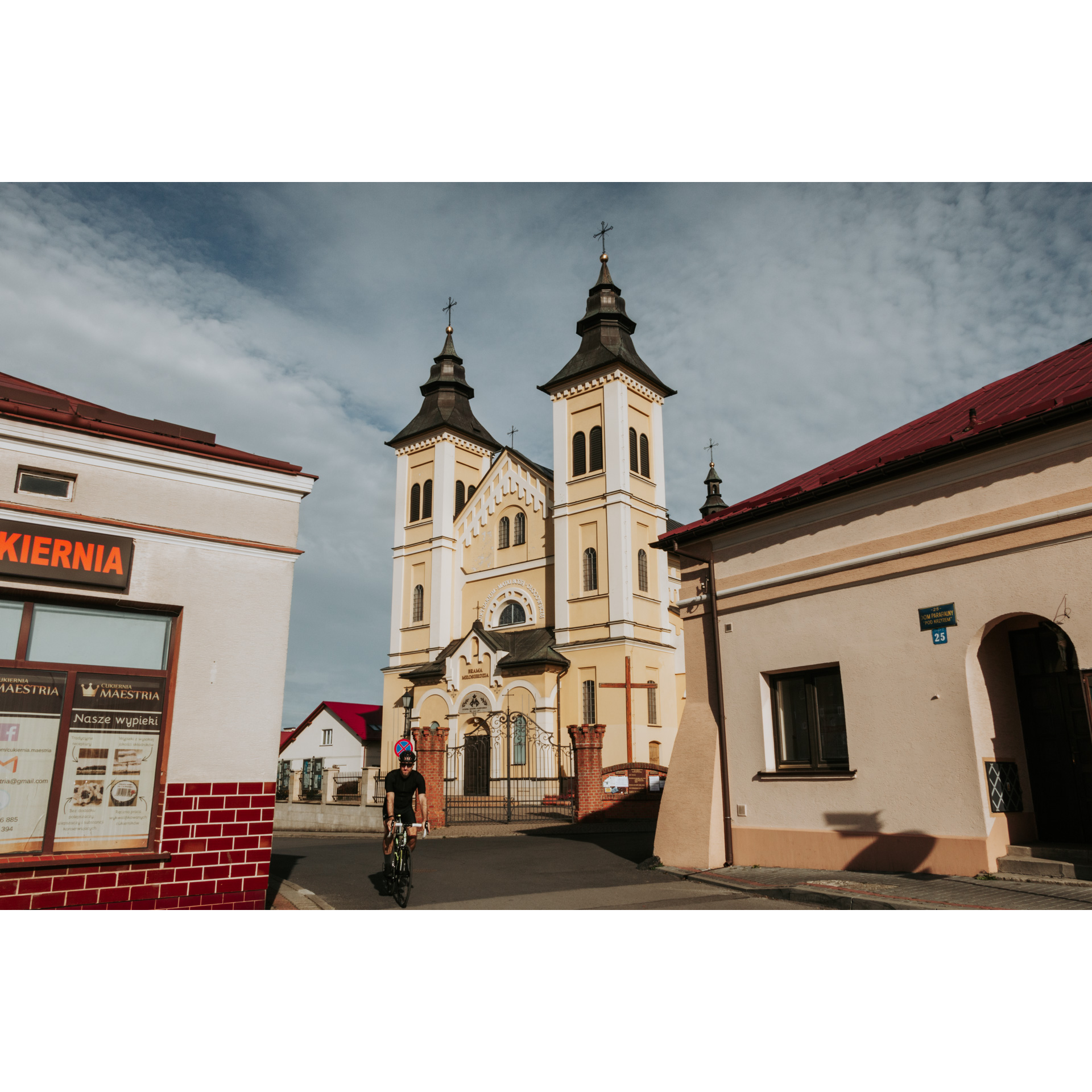
If you want to extend your journey, you can visit the market square in Głogów Małopolski. This Renaissance layout resembles Italian cities and, from Polish cities - Zamość, with a grid-like street plan. The old town hall and the Sanctuary of Our Lady of Głogów are also interesting sights. Returning to our route, turn onto Sosnowa Street, which leads through suburban buildings and forests to the village of Budy Głogowskie. This is an old settlement dating back to the turn of the 16th and 17th centuries, established on a cleared piece of the Sandomierz Wilderness. Its scattered layout with a central church square reflects its history. After the cemetery road, make a sharp left turn onto Bratkowice. On your right, you will pass by a forest complex, which includes the Zabłocie Nature Reserve. Meanwhile, keep going straight, enjoying the tranquility of the rural landscape, until you reach the vicinity of the A4 motorway. When you pass under it through a culvert, turn slightly to the left. This will take you to Mrowla. While passing through the village, keep an eye out for the church with a distinct Neo-Gothic appearance and turn right behind it. After 200 metres, cross the small bridge over the Czarna River and then turn left. After a few hundred metres, you will pass over the S19 expressway, with sports facilities on your left - fields and the "Husar" shooting range. Continuing, the road leads through Rudna Wielka - a long village with a Neo-Baroque church dedicated to St. Teresa of the Child Jesus. Keep going straight through the suburban buildings for about 3 km until you reach the Community Centre, where you will turn right onto the narrow street of St. Hubert. It its worth stopping at the Baroque chapel of St. Hubert, which was funded by Prince Jerzy Ignacy Lubomirski. After passing the railway crossing, turn onto Warszawska Street. It descends towards the centre of Rzeszów, turning into Marszałkowska Street and then the Tarnobrzeski Viaduct, which offers a good view of the city center. At the Sanctuary of Our Lady of Rzeszów, turn onto Sokoła Street, and then head towards the tower of the parish church of St. Cross. From there, you can take Kościuszki Street, a representative promenade, back to the city square.
- 4Rzeszów market square48.2 kmRzeszów market square
Your trip ends near the starting point.
Attractions near this route
Gallery
Check other routes


