Rzeszów and its surroundings
Through forest roads from Głogów Małopolski
XML, 29.81kB
About this route
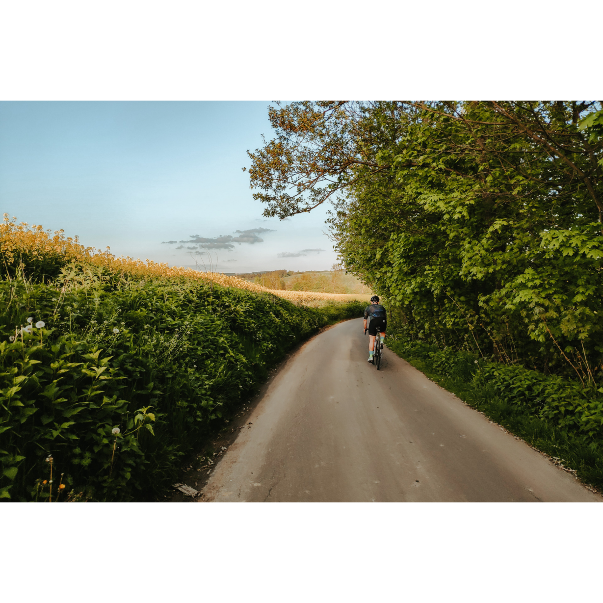
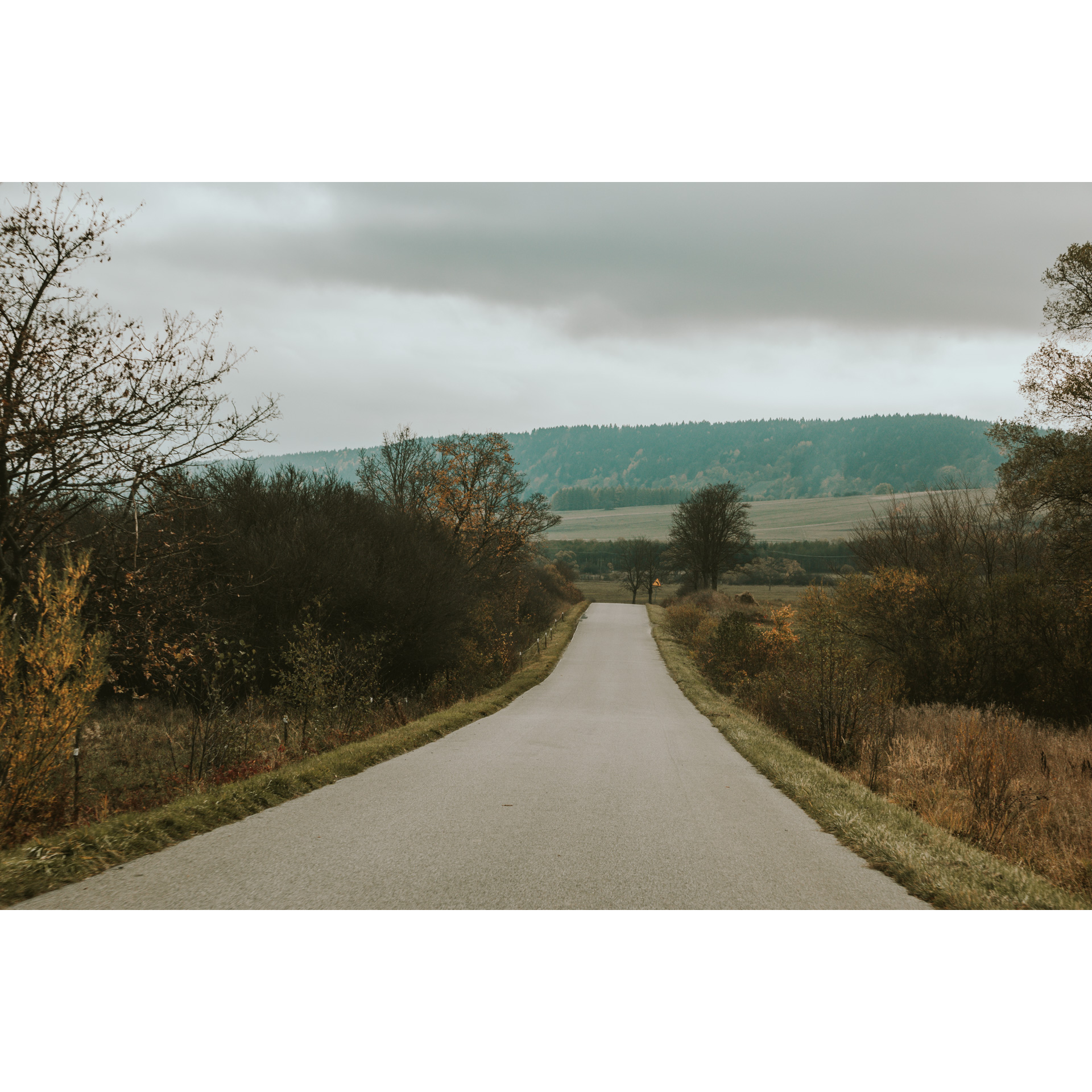
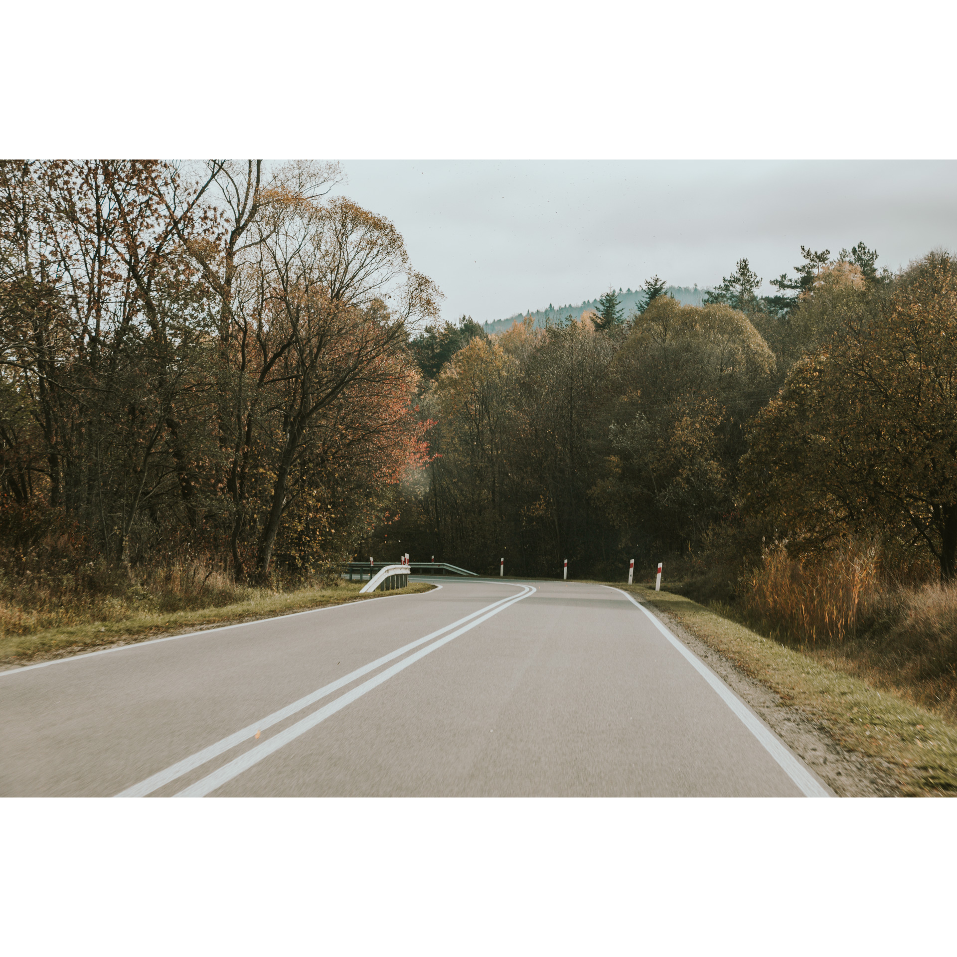
A route that will allow you to get away from the hustle and bustle of the city for a while. It leads mainly through wooded, paved roads and asphalt sections with very little car traffic. All this guarantees a peaceful, 3-hour cycling adventure, which will start in Głogów Małopolski.
Practical advices
A route with a moderate level of difficulty will allow you to test your fitness. Remember that the terrain has a huge impact on how many kilometres you can cover. Trails on flat roads are less strenuous than those on hills or mountain roads.
Planning a group trip? Match the route to the fitness of the weakest participant.
A helmet and light clothing made of breathable materials will be essential for safety and comfort on the route. Other than that, only put on the essentials. Heavy luggage will make your ride more difficult. Also, think about what you will carry the necessary items in. We suggest a backpack or panniers for your bike.
Be prepared for possible breakdowns on the route. It is a good idea to carry the most important tools for a quick fix, such as inner tubes or patches, a pump or a multi-tool. Make sure you have enough water and food, as well as navigation equipment.
Is it looking like a warm and sunny day? Remember sunscreen and sunglasses. If you are planning sightseeing or other activities along the route, a bike lock will also be very useful. Before you leave, carefully examine your route for the trip. Consider whether your skills and equipment are adequate for the level of difficulty of the route.
Rzeszów and its surroundings
Audiodeskrypcja tekstowa
Route details
Głogów Małopolski - Hucisko - Wysoka Głogowska - Głogów MałopolskiStart
- 1Głogów Małopolski0 kmGłogów Małopolski
For the start of the route, we suggest the centre of Głogów. You can leave your car here.
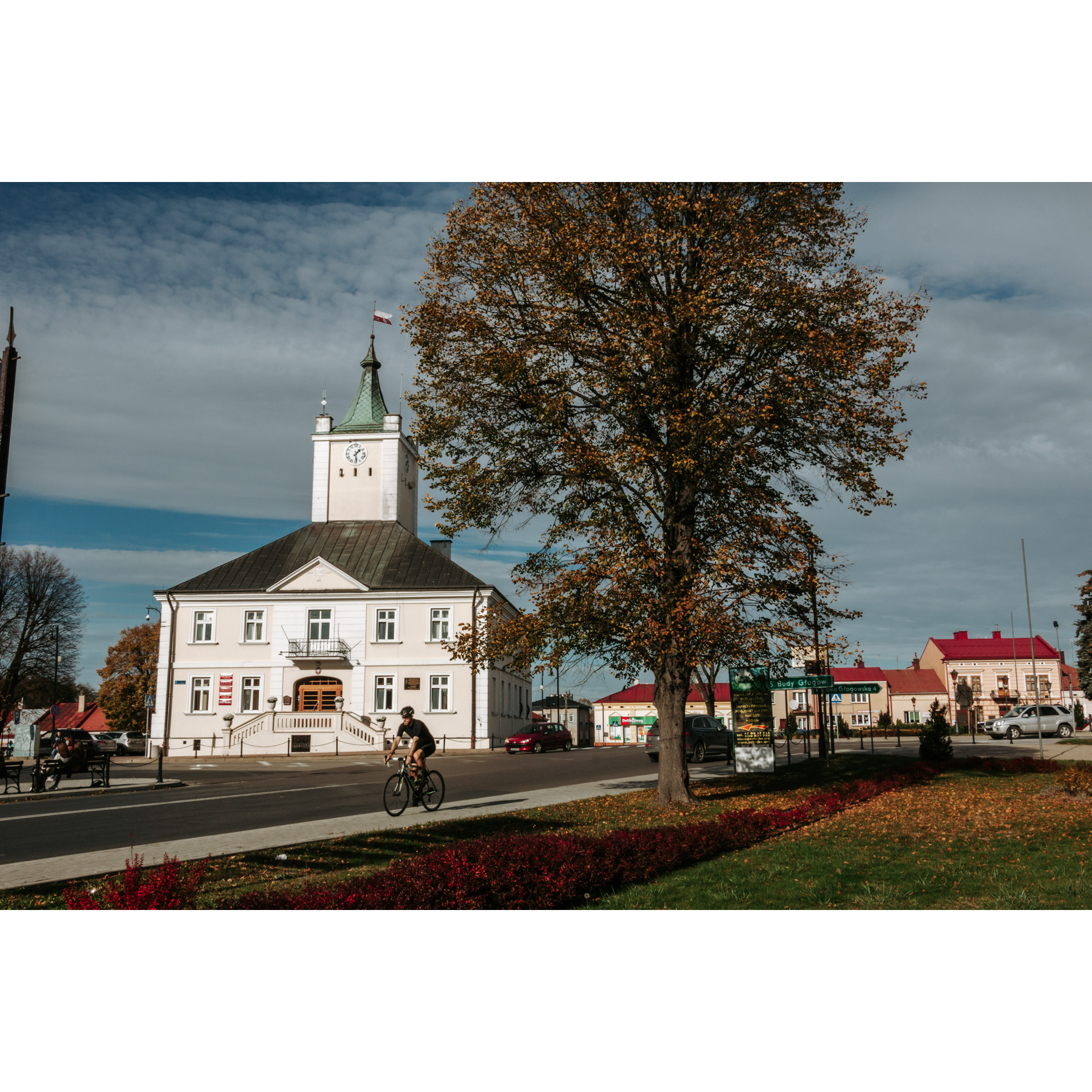
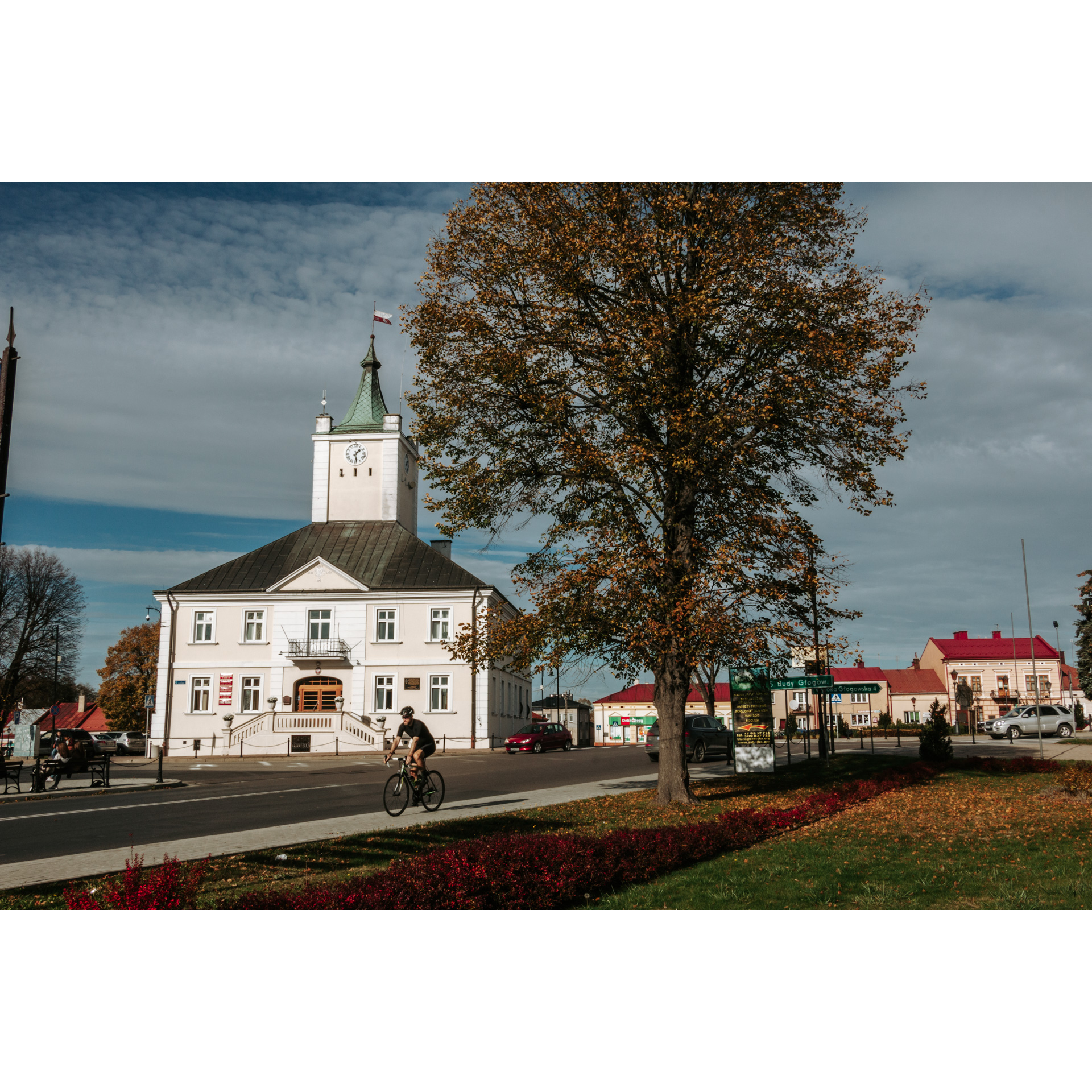
The main attractions of the route await you already at the beginning of the trip. The market square in Głogów Małopolski stands out from other towns with its town hall, built at the behest of the Lubomirski family in the mid-18th century, standing in the middle of the square. Its brick version replaced a wooden counterpart dating back to the 17th century. However, this is not the only interesting thing about Głogów, as it also boasts a
Renaissance urban layout, a remnant of the town's foundation, with clearly visible cross streets marking the town's axis.
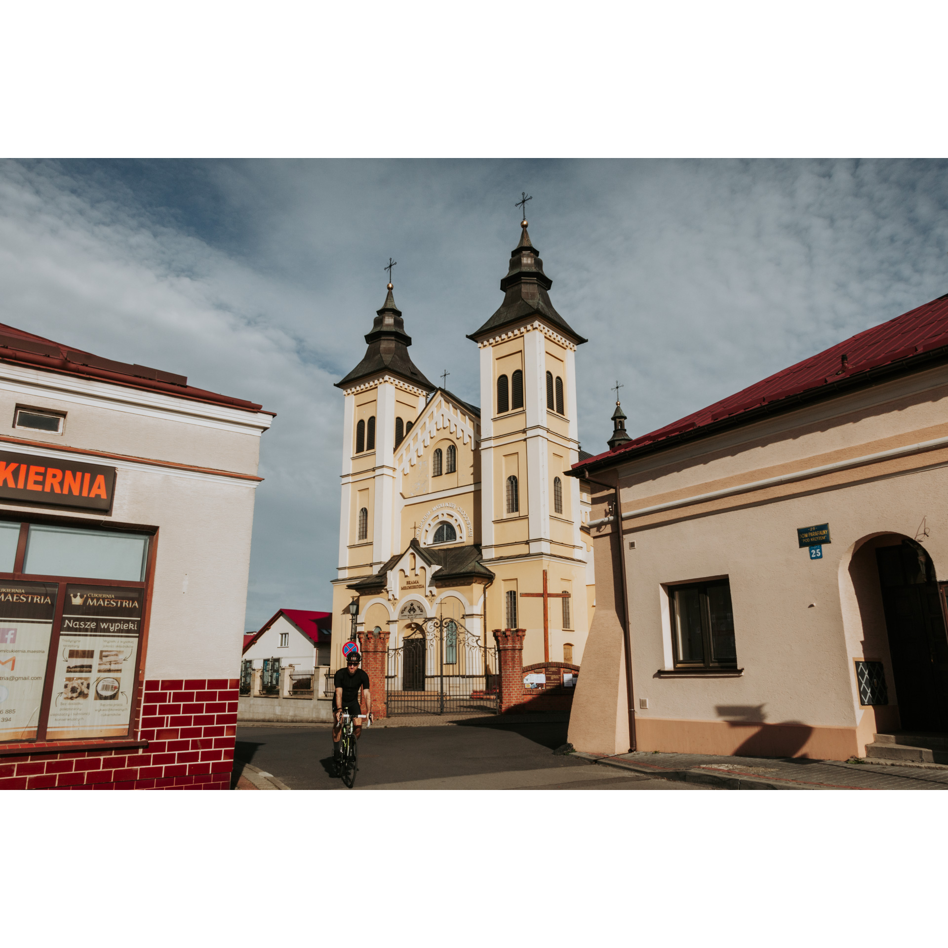
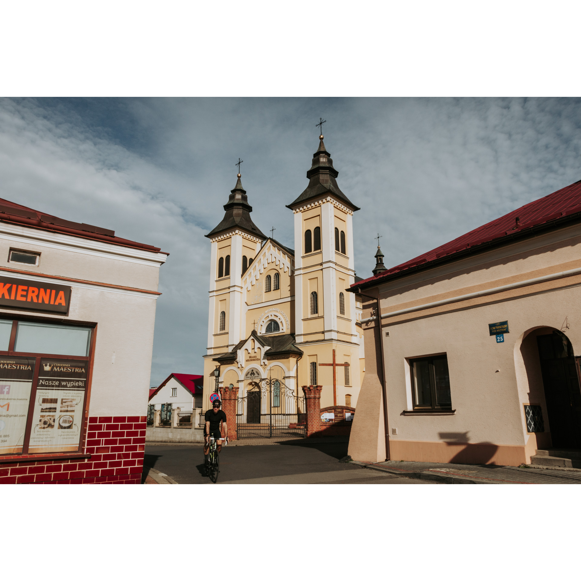
When riding through the streets of Głogów, special attention should be paid to the statue of St Florian and the Virgin Mary. Both date from the 18th century. In the market square, there are also contemporary monuments, such as the monument and boulder commemorating polish king John III Sobieski, the monument to pope John Paul II and the Monument to Struggle and Martyrdom. There is also the Church of the Holy Trinity in the village. The building was erected at the end of the 19th century in the Baroque style. It is distinguished by two towers on the facade. The Sanctuary of Our Lady of Głogów, established in 2012, is also located next to the church.
Start from the town hall and follow the PTTK blue hiking trail. The road leads along Mickiewicza, Prusa, Polna and Cicha Streets. At the end of the last one, you will encounter an entrance to the forest. Follow the signs of the blue trail throughout. After about 600 m you will reach an asphalt road. Turn left here. Continue first on an asphalt road, then on a gravel road through the forest for about 7 km.
- 2Hucisko10 kmHucisko
At the 10th kilometre of the route, at the crossroads in Hucisko, turn right towards the village of Nienadówka Górna. A small arboreal chapel with a Marian statue will be your guide. After 1.3 km, you will cross the bridge over the small Świerkowiec River, past which turn right. You may want to consider turning off 4 km to Trzebuska, where you will find the remains of a concentration camp that was established and run by the Soviet NKVD in 1944 for Poles who opposed the introduction of communism.
Returning to the route, turning, you will come to a fork keep right there and then turn right onto the main road. On it, after a short while, there will be a sharp right turn and a bridge, and then you will enter the forest. Turn left, south, at a junction 1.1 km further on. You can make up a few minutes to reach the memorial site on the Nenadovsky promontory. This is one of the places where the Russians carried out mass executions of prisoners from the Trzebuska camp in the summer and autumn of 1944. On the crossroads in the forest, turn south then you will have 2.1 km of riding until the next change of direction. Did you know that the high-voltage line you drove under, runs from one of Ukraine's nuclear power plants?
- 3Wysoka Głogowska16.3 kmWysoka Głogowska
At the crossroads at the end of the road, turn right to reach a cross at a bend in the road after a few hundred metres. Turn right by the cross, into the woods. Then, after 500 m, you will come to a intersection where you turn left. For 1.8 km you will follow a forest gravel road, which is also a green hiking trail. At the end, turn right onto an asphalt road, a local road between Głogów and Wysoka Głogowska. Ride about 2 km to reach the outskirts of Głogów Małopolski. From there you will already find yourself in the centre of the town.
- 4Głogów Małopolski23.2 kmGłogów Małopolski
You finish the route at the starting point, the market square in Głogów.
Attractions near this route
Gallery
Check other routes


