The Low Beskid

Around Miejsce Piastowe

0/5 - 0 opinii
Distance
51km
Time
3h 30m
Difficulty
Moderate
Download route GPX file
XML, 89.94kB
Field bicycle route

About this route

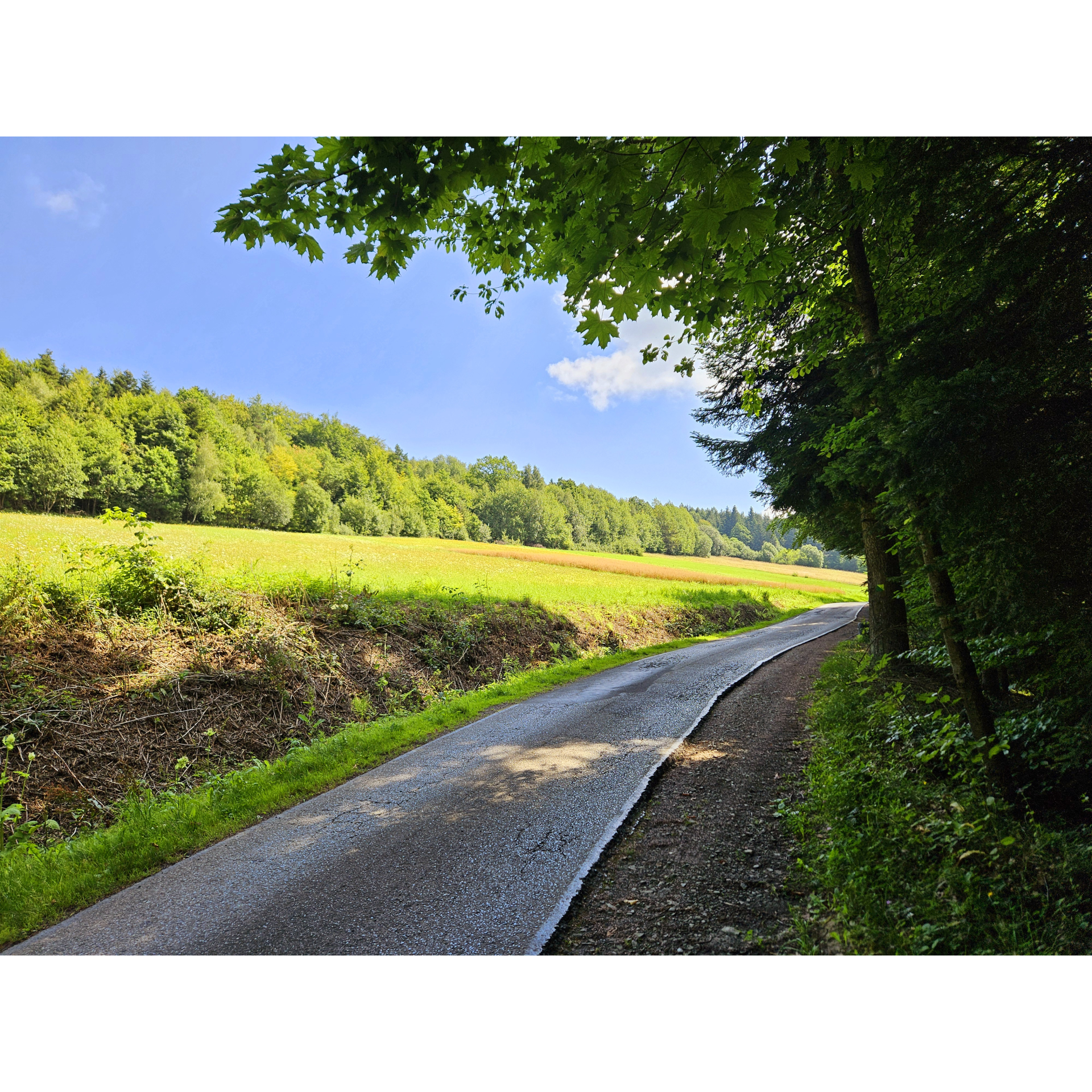
A route that captivates with diverse landscapes, from plains near Krosno to hills in the area of Bałucianka and Rymanów-Zdrój. Here, you can relax in close contact with nature or be enchanted by architecture – both the grand, well-known urban structures and the local, lesser-known, and sometimes forgotten ones.

Distance
51 km
Ascent
530 m
Time
3h 30m
Surface type
Asphalt: 100%
Bicycle type
Road , MTB , Gravel , Trekking
Route markings
Average
Loop
Yes
Family friendly
No
Attractions
7
Map inconsistent with digital accessibility resulting from the act

Practical advices

A route with a moderate level of difficulty will allow you to test your fitness. Remember that the terrain has a huge impact on how many kilometres you can cover. Trails on flat roads are less strenuous than those on hills or mountain roads.


Planning a group trip? Match the route to the fitness of the weakest participant.


A helmet and light clothing made of breathable materials will be essential for safety and comfort on the route. Other than that, only put on the essentials. Heavy luggage will make your ride more difficult. Also, think about what you will carry the necessary items in. We suggest a backpack or panniers for your bike.


Be prepared for possible breakdowns on the route. It is a good idea to carry the most important tools for a quick fix, such as inner tubes or patches, a pump or a multi-tool. Make sure you have enough water and food, as well as navigation equipment.


Is it looking like a warm and sunny day? Remember sunscreen and sunglasses. If you are planning sightseeing or other activities along the route, a bike lock will also be very useful. Before you leave, carefully examine your route for the trip. Consider whether your skills and equipment are adequate for the level of difficulty of the route.
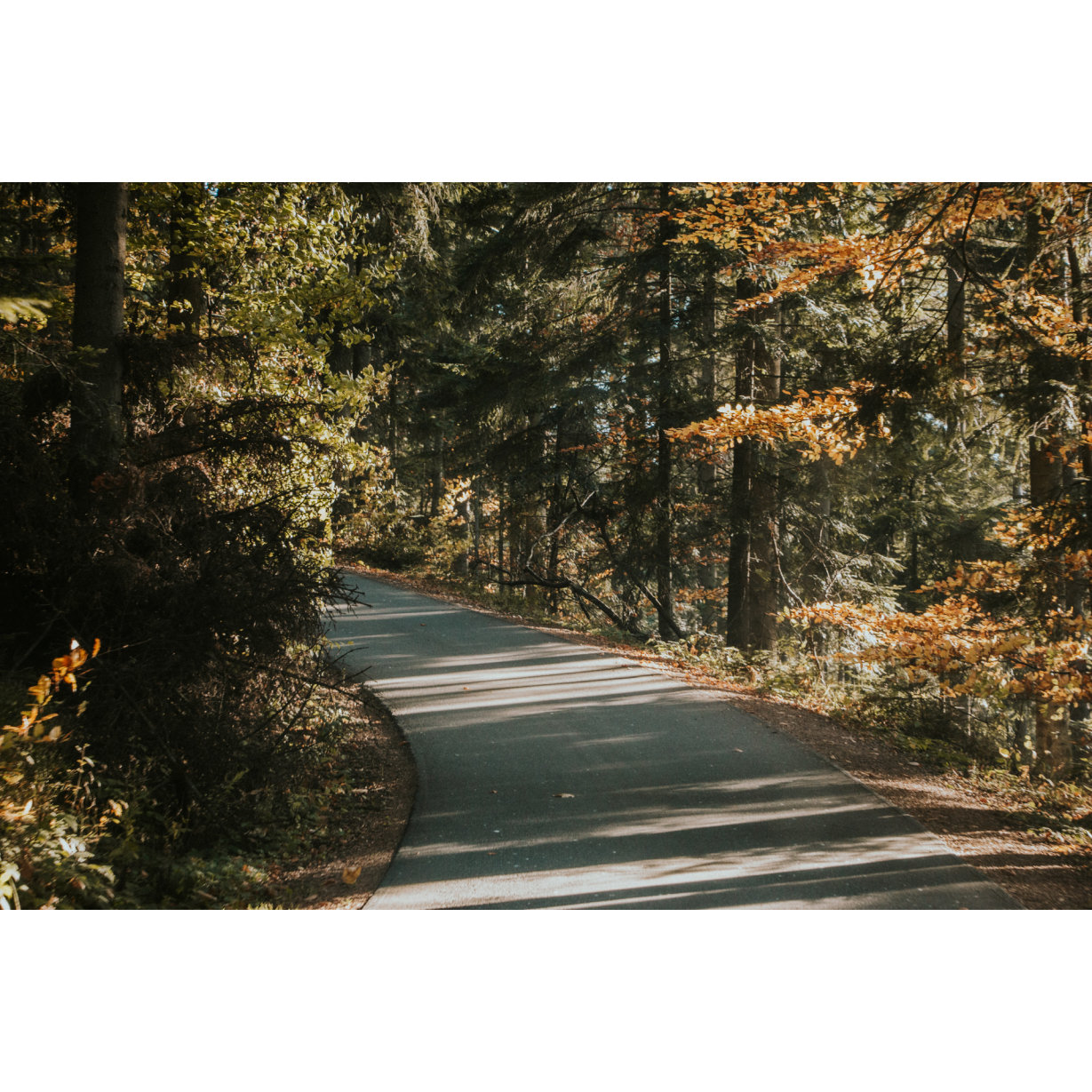
Beskid Niski

#rowerowaprzygoda
The wildest mountains in Poland, enchanting in their beauty.

Route details

Łężany – Krosno – Iwonicz – Rymanów-Zdrój – Łężany

Start

  • 1
    Łężany
    0 km
    Łężany

    Let us begin the excursion in Łężany, at the gas station located between the railway tracks and the airport. The airport was used by the Polish Army until 1939, by the Germans from 1940 to 1944, and by the Soviets in the summer of 1944. The terrain is undoubtedly suitable for aviation operations – it is flat and level, which is why the Germans used it for attacks on the Soviet Union during Operation Barbarossa. Cross the tracks and enter the village centre. There, near the Community Centre, turn right. As you leave the village, you will once again cross over the railway tracks. Along the road through the fields, you will reach the outskirts of Krosno. On the way, you will pass several rare groves.

  • 2
    Krosno
    7.2 km
    Krosno

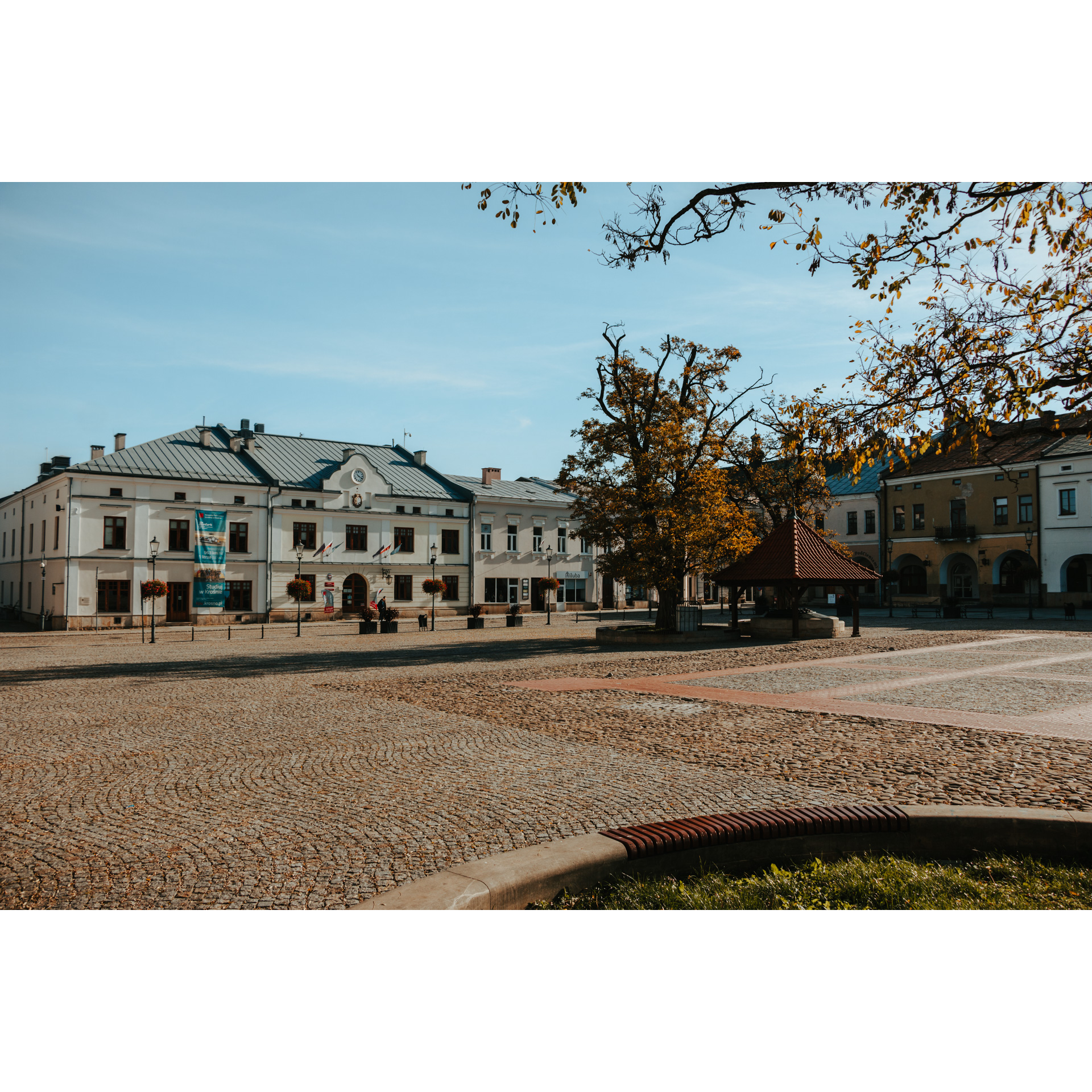
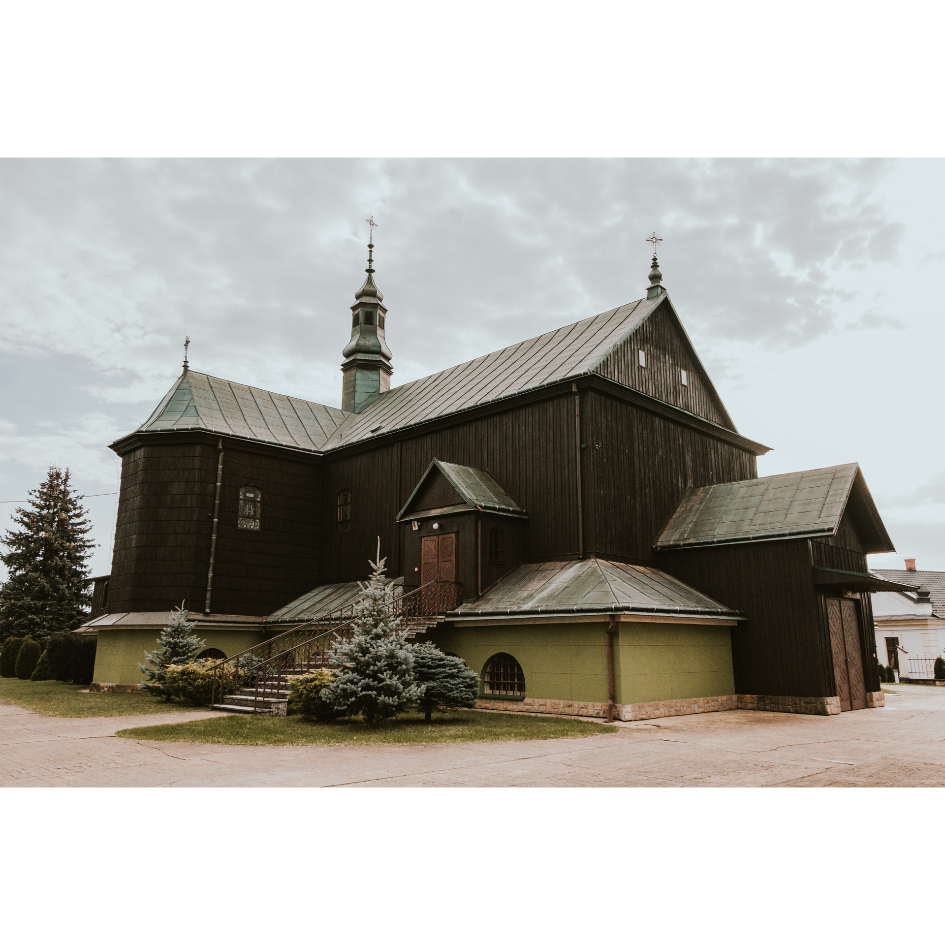
    Take Wojska Polskiego Street, which becomes Staszica Street and then Sienkiewicza Street, to reach the market square in Krosno. This is a large square with dimensions of 115 by 72 metres, primarily serving a representative function. It is surrounded by 30 townhouses, one of which is the Town Hall building. Some of them have arcaded galleries, similar to those in Zamość or Kraków. In the square, you can find numerous restaurants where you can enjoy a delicious meal before continuing your journey. From the square, exit the way you came, and then turn right onto Grodzka Street. Follow it to national road no. 28, which you need to cross to continue your journey on Wyszyńskiego Street. The majestic contemporary church of St. Peter and St. John of Dukla will confirm that you are on the right path. At the large cemetery on Wyszyńskiego Street, it is worth visiting the Tomb of the Unknown Soldier and the military section. Stay on this road to exit the city and reach the village of Głowienka. The flat lands beyond this village will welcome you with fields and small groves. You will then enter Wrocanka. You can take a moment to turn onto św. Rozalii Street to stop by the spring or continue through the village in the southward direction. In the village of Rogi, you will cross national road no. 19. You will pass by the Community Centre, a 17th-century wooden church, an ethnographic homestead, and a cemetery with a military section. After that, you will enter the fields on the road leading to Iwonicz.

  • 3
    Iwonicz
    20.6 km
    Iwonicz

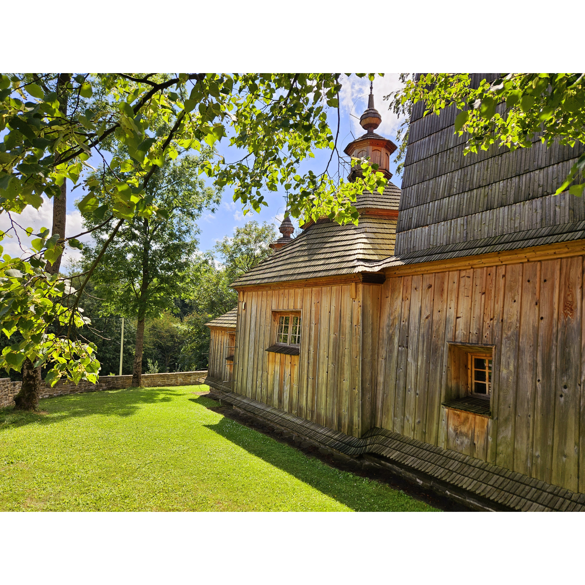
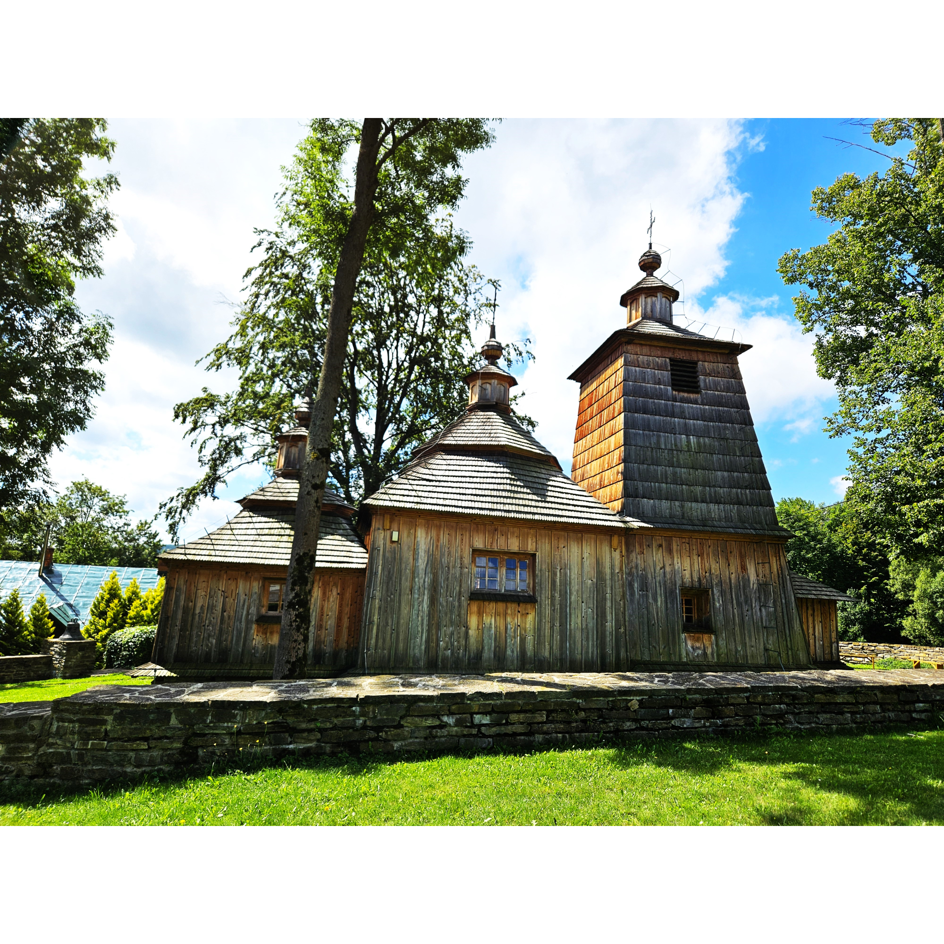
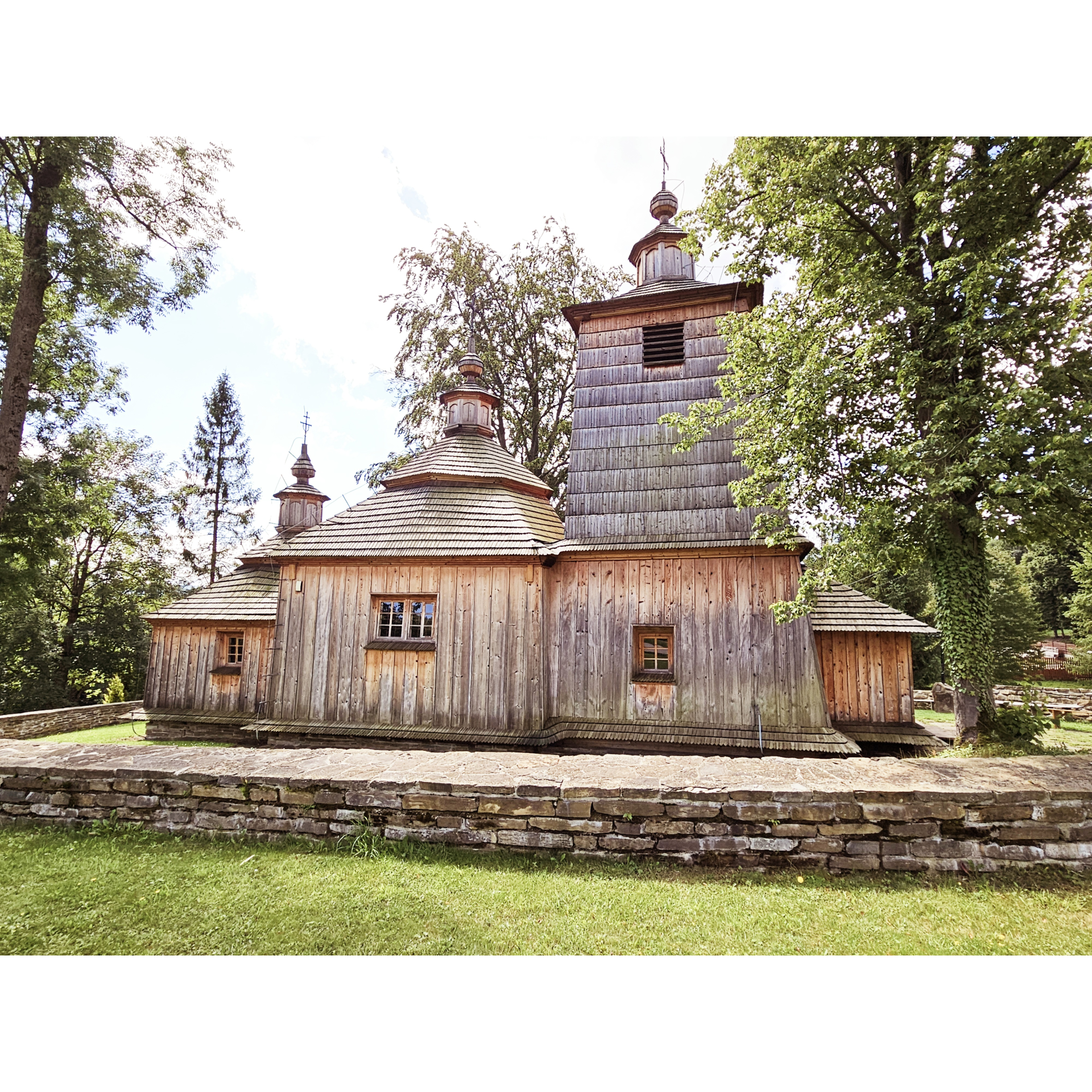
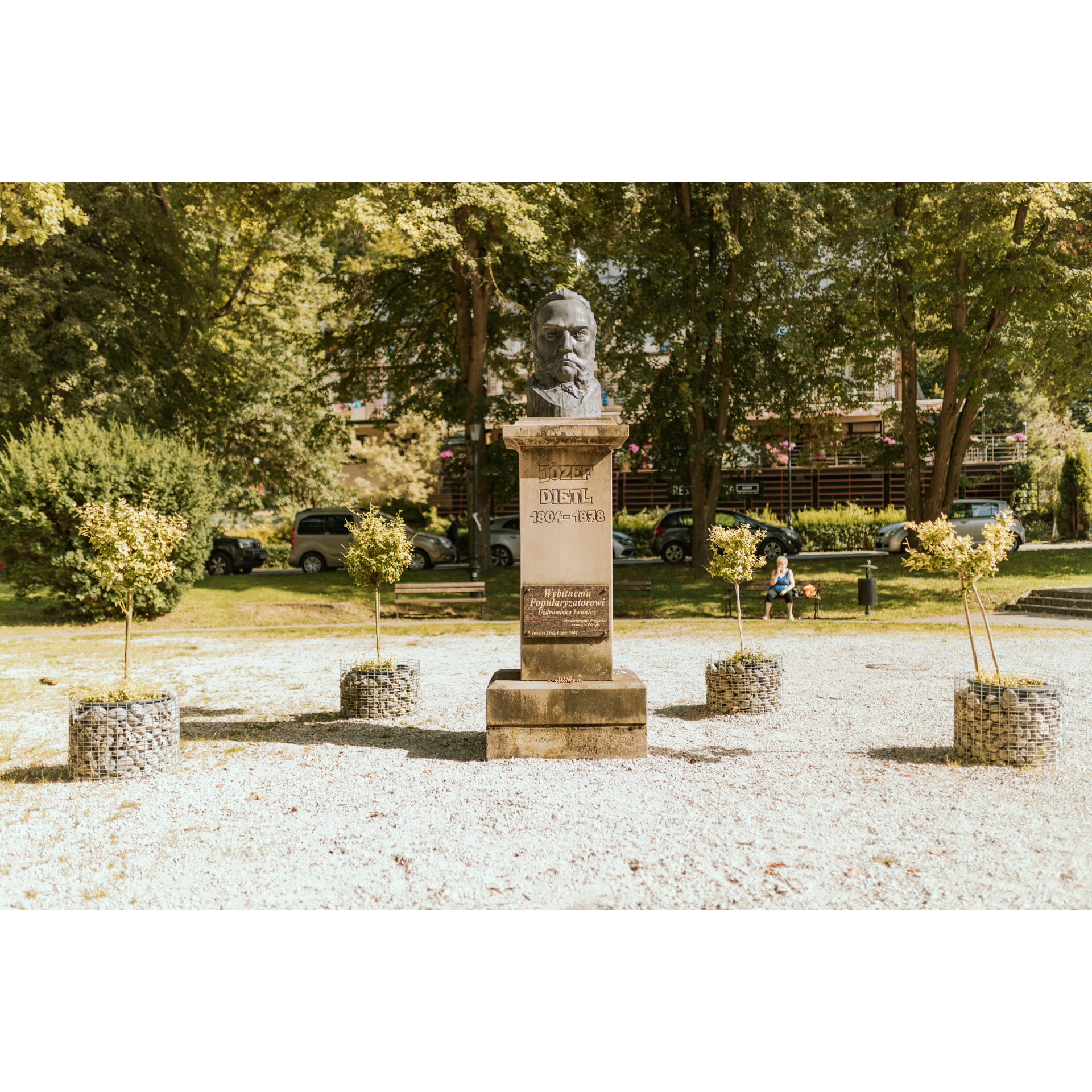
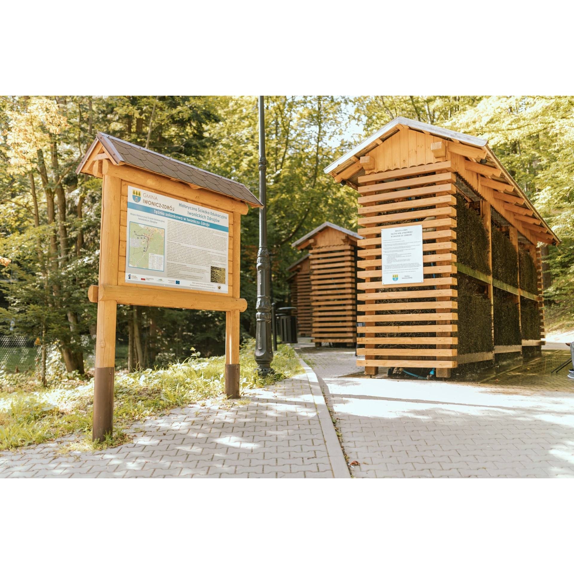
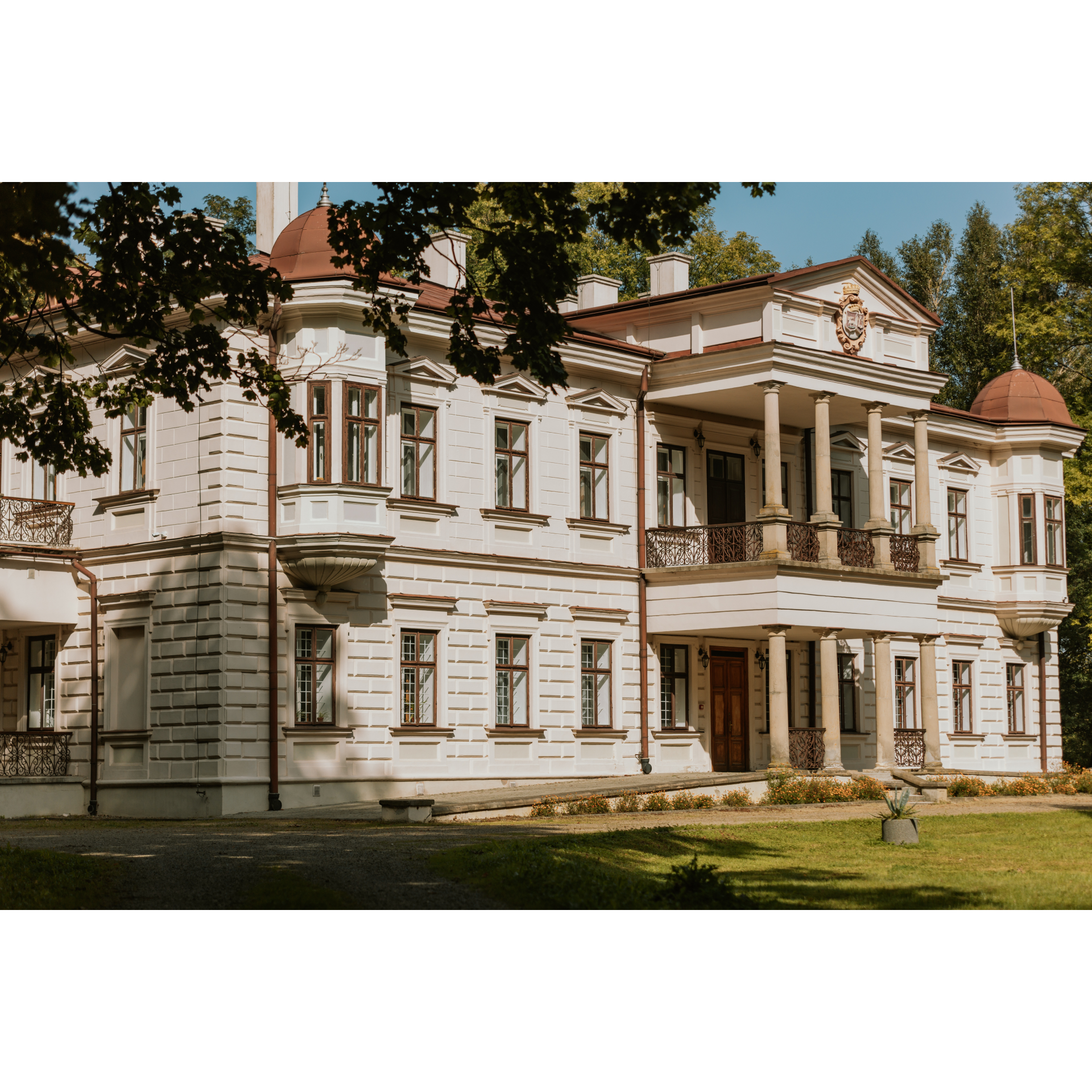
    Entering deeper into the village, you will reach the park at the Załuski Palace. This neoclassical complex, symmetrical with a tall portico supporting a balcony and a pediment with the owners' coat of arms, was built in the late 19th century on the site of a manor that had been here since the mid-15th century. Then, head down Długa Street to pass by the All Saints' Church. The buildings of Iwonicz seamlessly transition into those of Iwonicz-Zdrój. In the forest that you will enter, there are nature trails, mineral water springs, and numerous sanatoriums for which this place is renowned. After exiting the forest, follow the sign for Bałucianka – Rymanów-Zdrój. Descend into the valley via a serpentine road, and then continue on a narrow road through the forest until you reach the hill of Przymiarki. This hill, with an elevation of 626 metres above sea level and a spacious summit, offers an excellent view of the surrounding valleys and villages, including the meadows from those no longer in existence. You can take a break in the tourist shelter. Descend from the hill in a southeast direction towards the village of Bałucianka. Along the way, you will come across a beautiful Uniate church dedicated to the Dormition of the Mother of God, unfortunately devoid of furnishings. At the end of the village, turn left, and after 1.3 km, turn left onto regional road no. 887. After a few minutes, you will reach Rymanów-Zdrój.

  • 4
    Rymanów-Zdrój
    36.1 km
    Rymanów-Zdrój

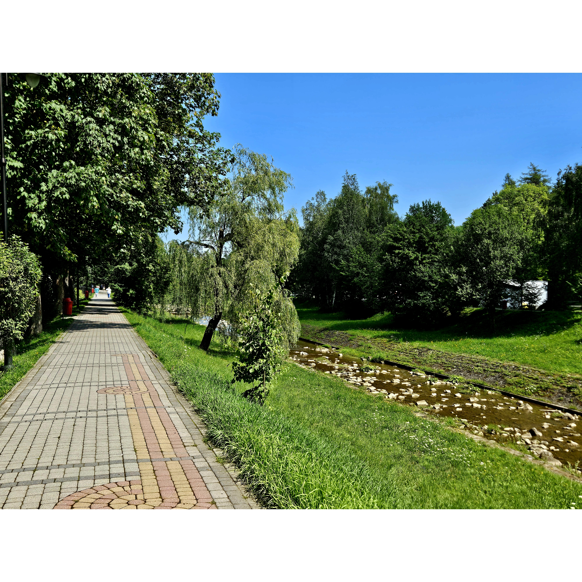
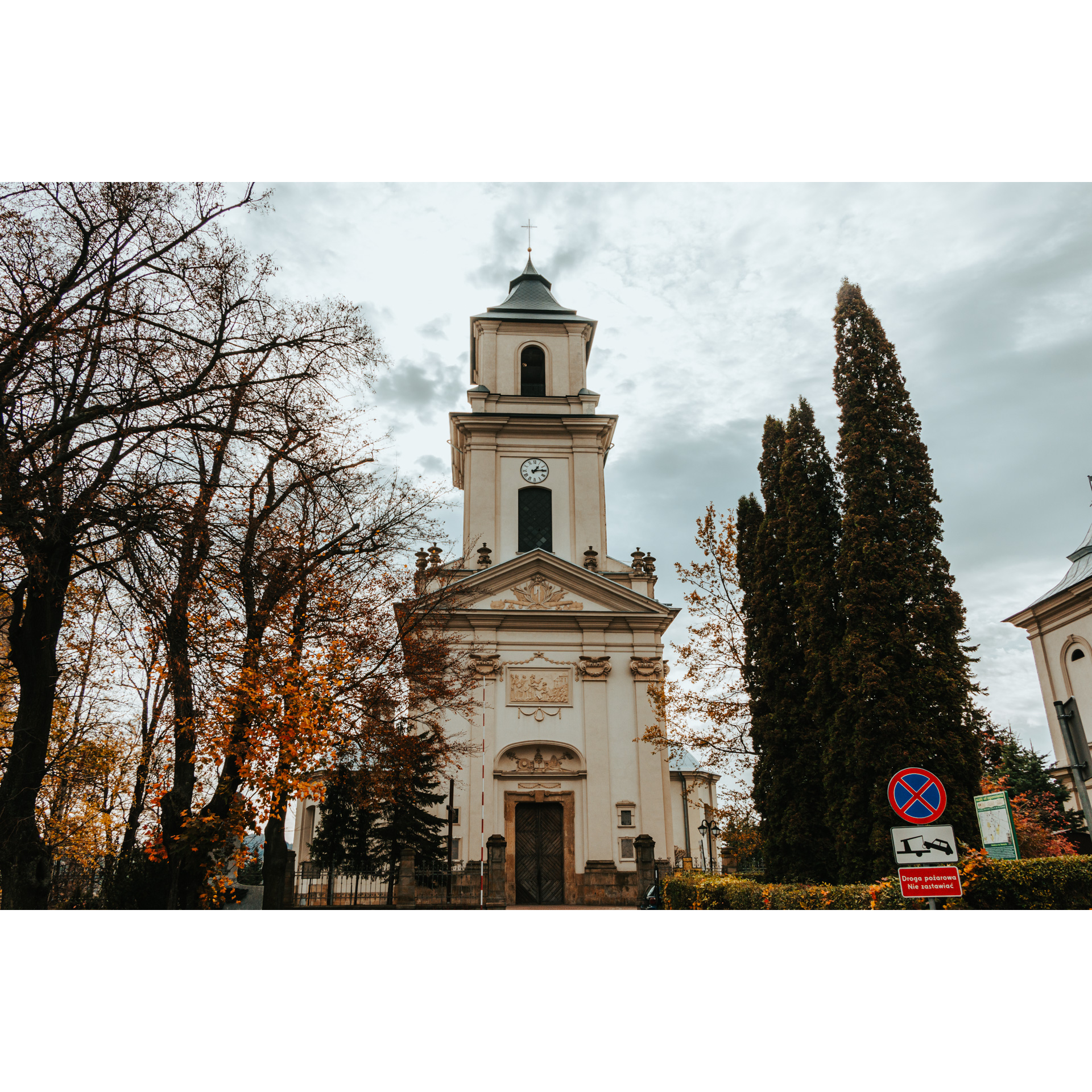
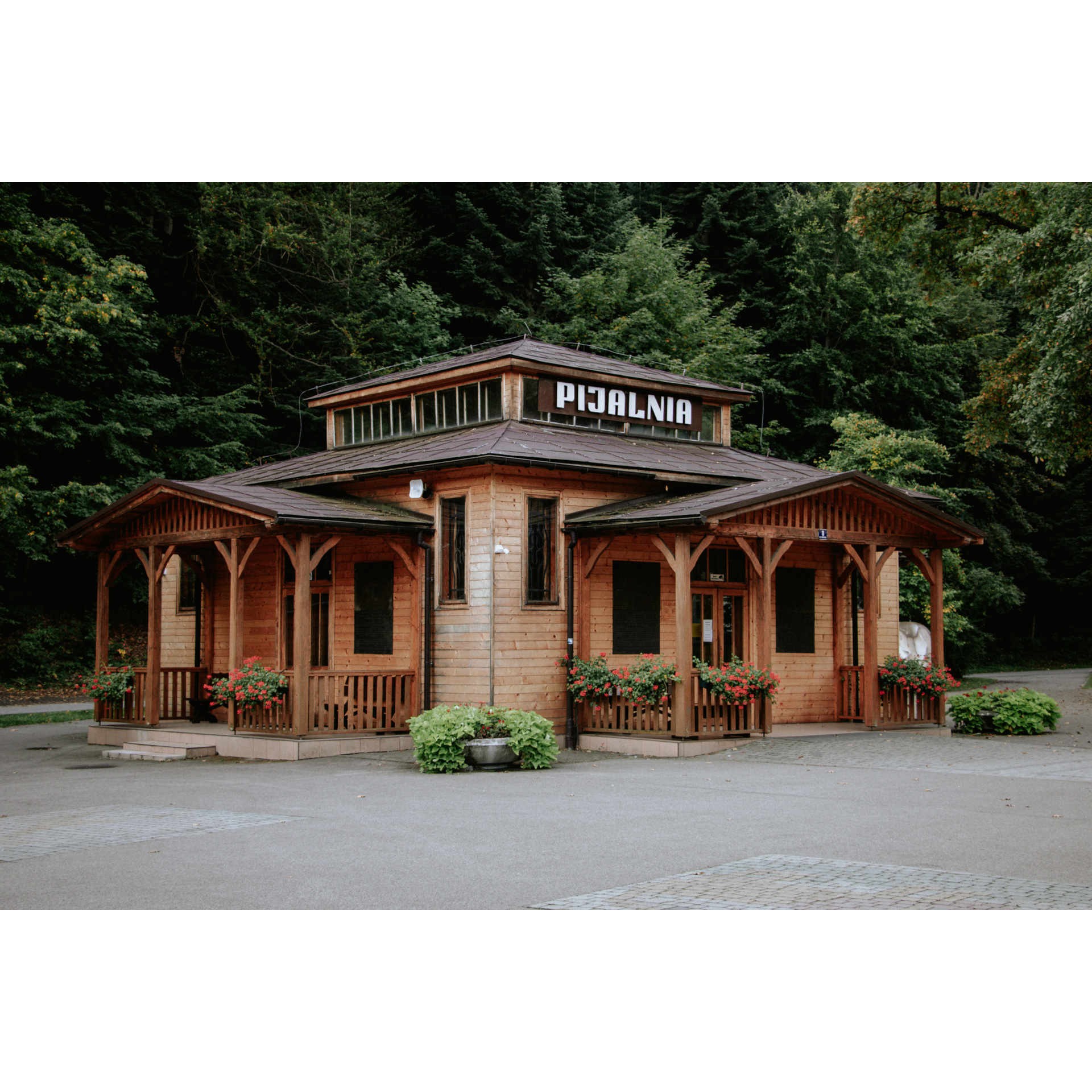
    This is the second spa town on your route today. You will find sanatoriums, spa facilities, mineral water springs, cafes, fountains, and even a small waterfall here. After a short rest, you can continue as before, heading north. You will pass through Posada Górna before reaching Rymanów. It is worth stopping in Stanisław and Anna Potocki Manor Park and admiring the manor house, which now serves as the headquarters for the Rymanów Forestry. Driving along Grunwaldzka Street, you will pass by the Church of St. Lawrence with its beautiful Baroque facade stucco and massive tower. The interior, in the Rococo style, dazzles with its richness. Exit the market square, turning left onto national road no. 28. After passing the primary school, turn right onto regional road no. 887 (Kolejowa Street). Follow it to Ladzin. Before the small bridge in Ladzin, turn left and follow the western fences to reach Wróblik Królewski. In the village, turn right to reach the church, a former Uniate church, built in the shape of a Greek cross. Then, at the wayside cross, keep to the left side. Not far beyond Wróblik Królewski, you will come across the village of Widacz. After the forest behind this village, you will arrive at Targowiska. Drive on the main road past the Volunteer Fire Brigade station and the manor park. The manor, renovated and used as a hotel, is an example of a large Polish nobleman's manor, with a centrally located entrance and a covered balcony supported by columns. At the fork in the road, keep to the right side. This way, you will reach the railway station via Jana Pawła II Street. From there, it is only 200 metres to the left, crossing the tracks, and you are back where you started.

  • 5
    Łężany
    51.2 km
    Łężany

    Your trip ends near the starting point.

Check other routes

How did you like this route?