San and Vistula Valley
Forests between Wapowiec and Pruchnik
XML, 78.99kB
About this route
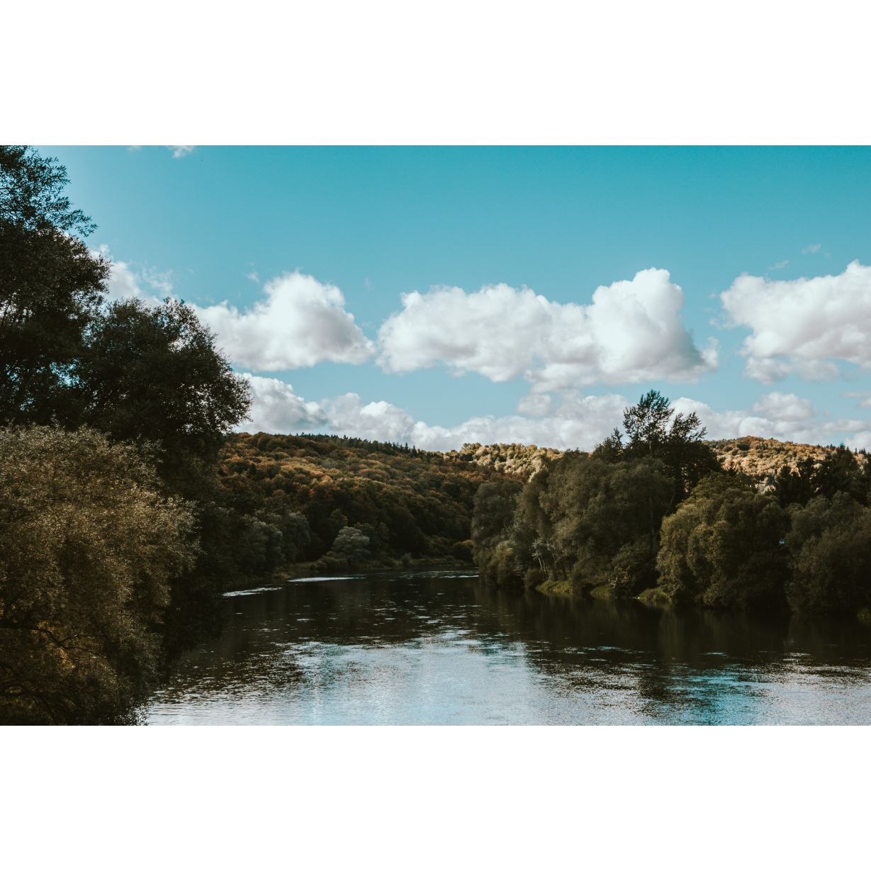
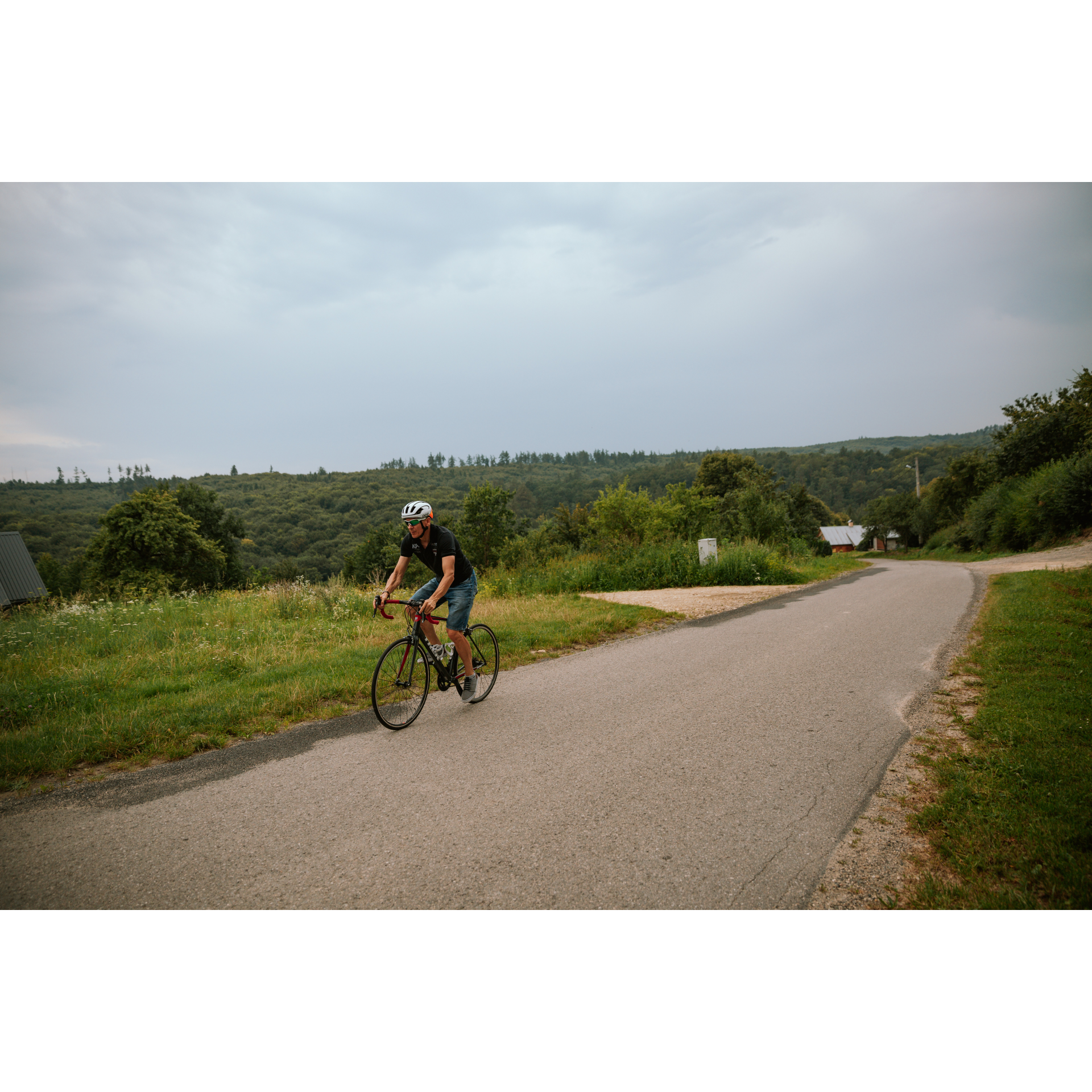
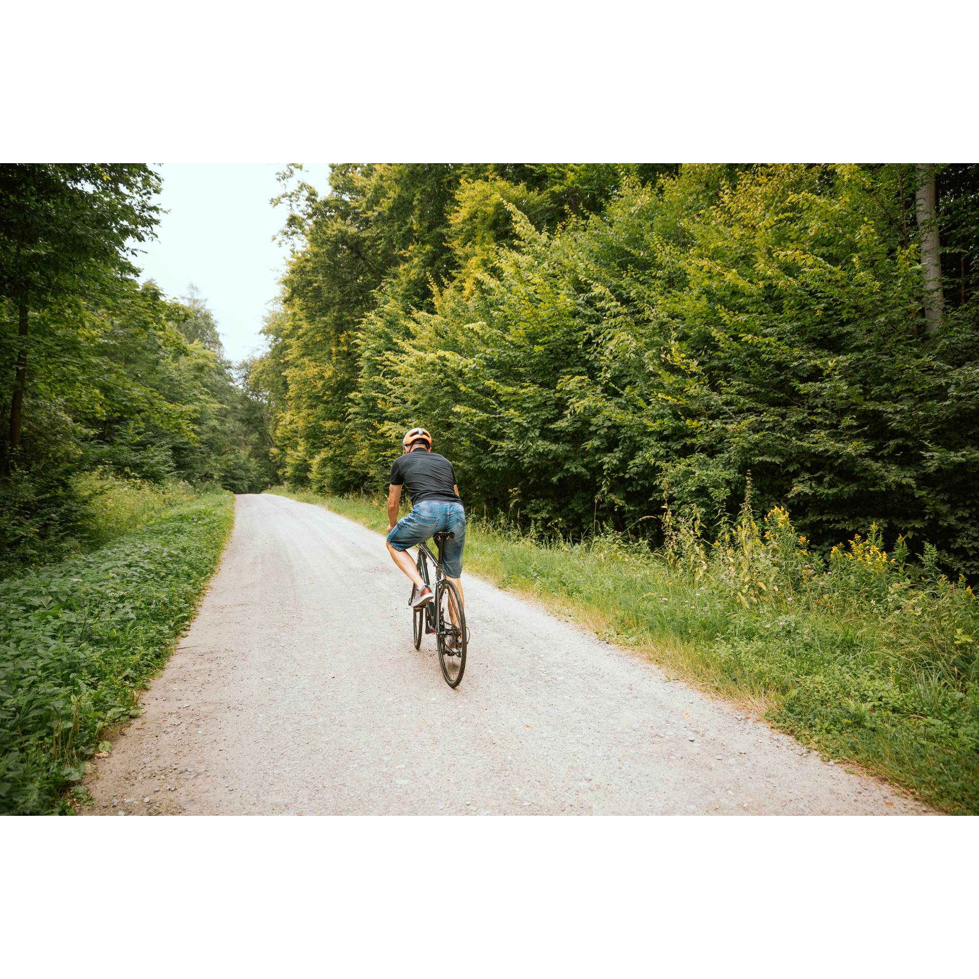
Although initially this route will be challenging due to fairly steep climbs, it will reward you with multi-kilometre stretches of peaceful forest tracks. Leading through hills and forest complexes between Wapowiec and Pruchnik, it also showcases the historical heritage of the region in the form of Orthodox churches and churches, as well as castles and manor houses scattered throughout the villages and towns of Podkarpacie.
Practical advices
When preparing for a route, be sure to check the weather forecast. This will allow you to take appropriate clothing and limit your luggage as much as possible. However, it is well known that the weather can be unpredictable, so be prepared if it gets worse. It is good practice to pack a thin rain jacket that does not take up much space.
Before starting the route, carefully analyse it on a map. Consider whether your skills and equipment are adequate for the level of difficulty of the route.
Download the accompanying .gpx file so that you always have your navigation at hand. To make sure your device doesn't fail you, also bring a power bank, charger or spare batteries. If the weather changes, you may find it useful to have a waterproof case for your electronic equipment.
Be sure to take drinks and food with you on long journeys; you never know when you will get hungry. Remember that a shop or restaurant may be located a long way away. We recommend that you stock up on water, isotonic drinks, energy bars and snacks. This will make sure you don't lose the motivation to continue riding.
The absolute basis for safety is, of course, a helmet. Also, prepare yourself technically. Make sure you have adequate lighting on your bike. Pack a repair kit. Spare inner tubes, a pump, a multitool, all of these things can come in handy in the event of a breakdown, which of course you don't want!
Dolina Sanu i Wisły
Audiodeskrypcja tekstowa
Route details
Wapowce – Pruchnik – WapowceStart
- 1Wapowce0 kmWapowce
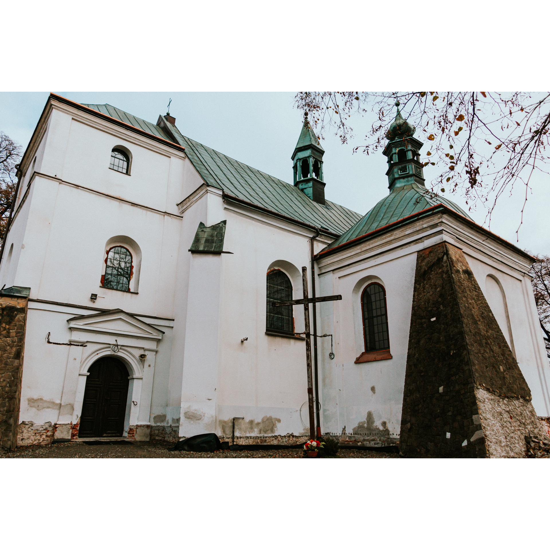
The current church, formerly a Greek Catholic church in Wapowiec, where we will start today's trip, was built in 1876 and was converted after World War II. Architectural features of the temple were preserved, including two onion-shaped domes and a slender dome over the main nave, placed on a high drum. Exit to the right from the church onto regional road number 884, only to leave it with a right turn after 400 metres. Via a narrow road, you will reach a forest intersection. Turn left there. Nearly 7 kilometres later, you will exit the forest complex. Turn right from the dirt road onto the asphalt road at the wall of the opposite forest. After another kilometre, you will leave the thickets and turn left, according to the right of way. You will cut through the village of Wola Węgierska. You will only turn from this road according to the signpost for the bike path to Dynów. You will reach the buildings of Borowiec Forestry. Make a sharp turn to the right past them. The next 3 kilometres will lead you to a chapel at the intersection. The trail takes you left for the next 2 kilometres to a forest intersection at the fences of Pruchnik—pass through them straight ahead. The final kilometre amongst the trees is ahead of you. You will exit on the outskirts of Pruchnik.
- 2Pruchnik19.9 kmPruchnik
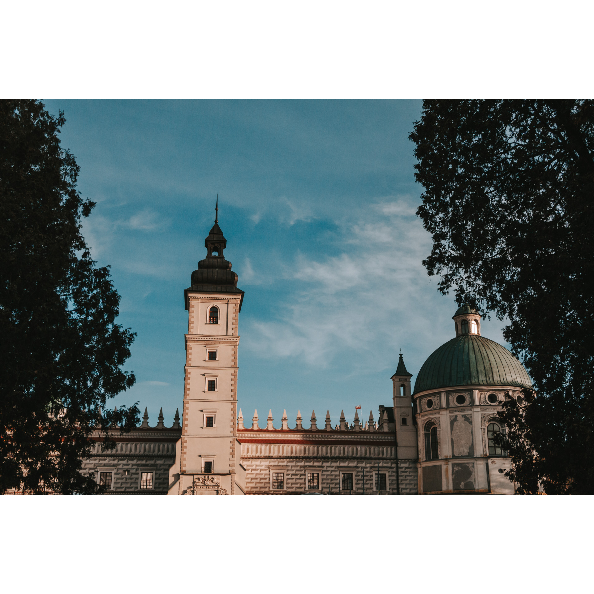
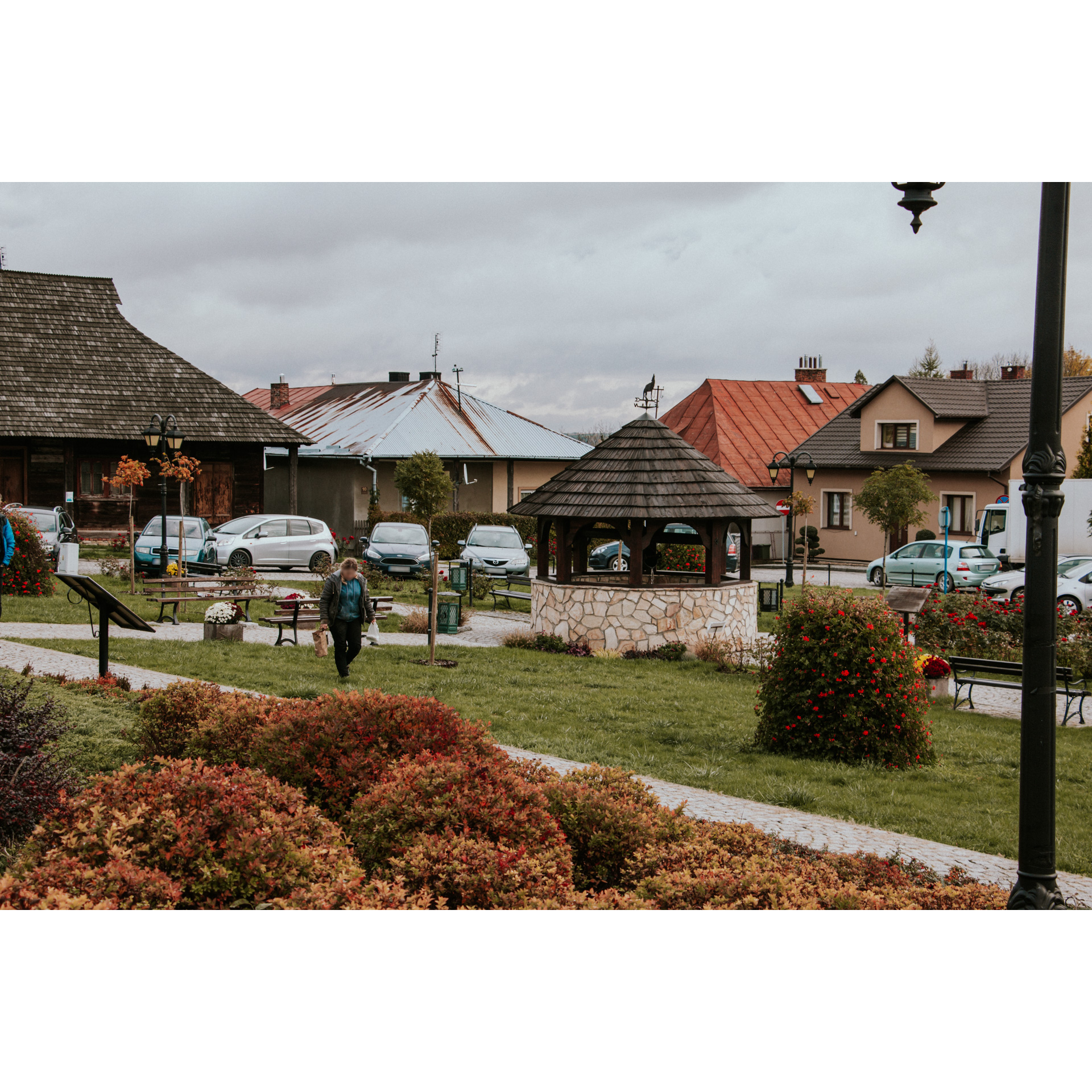
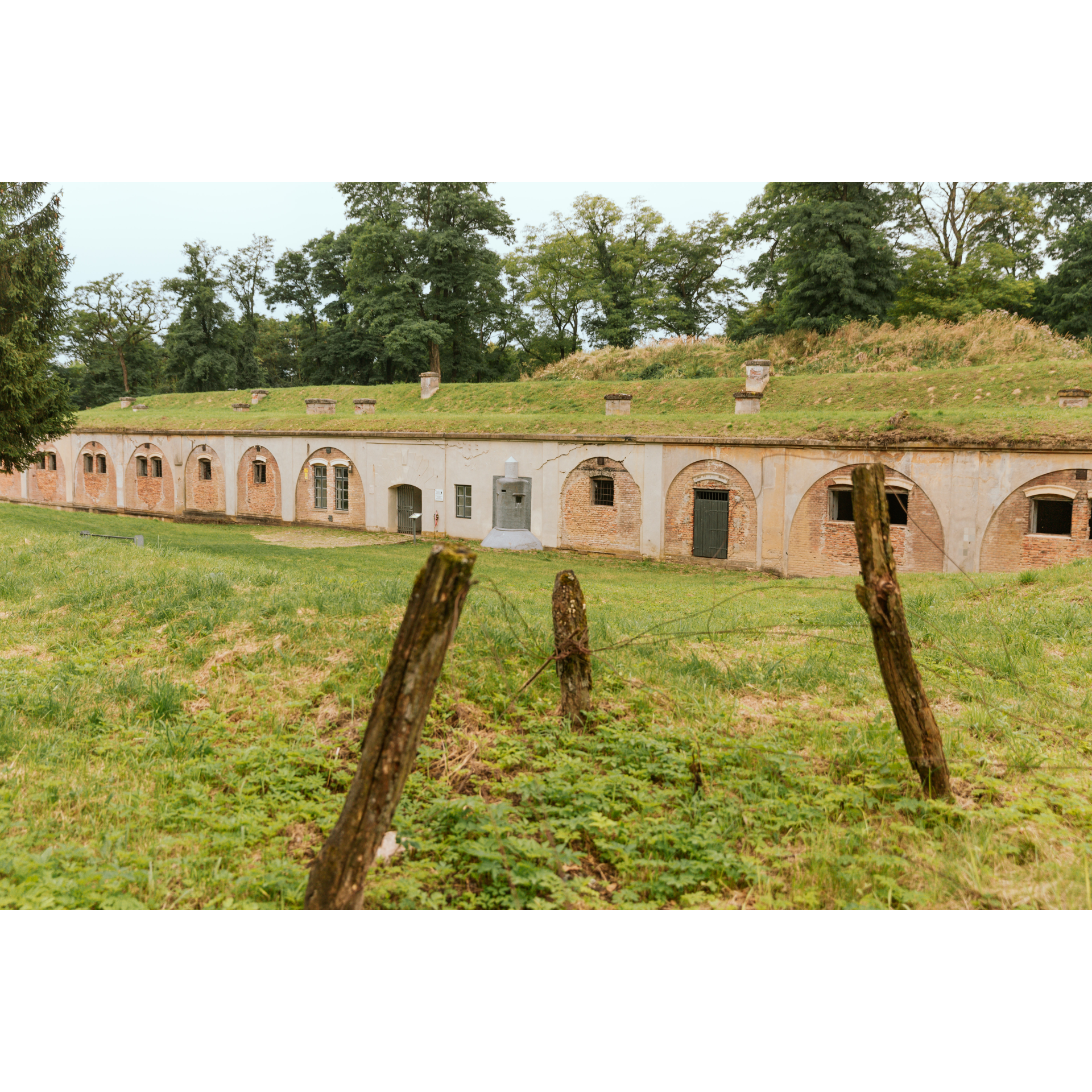
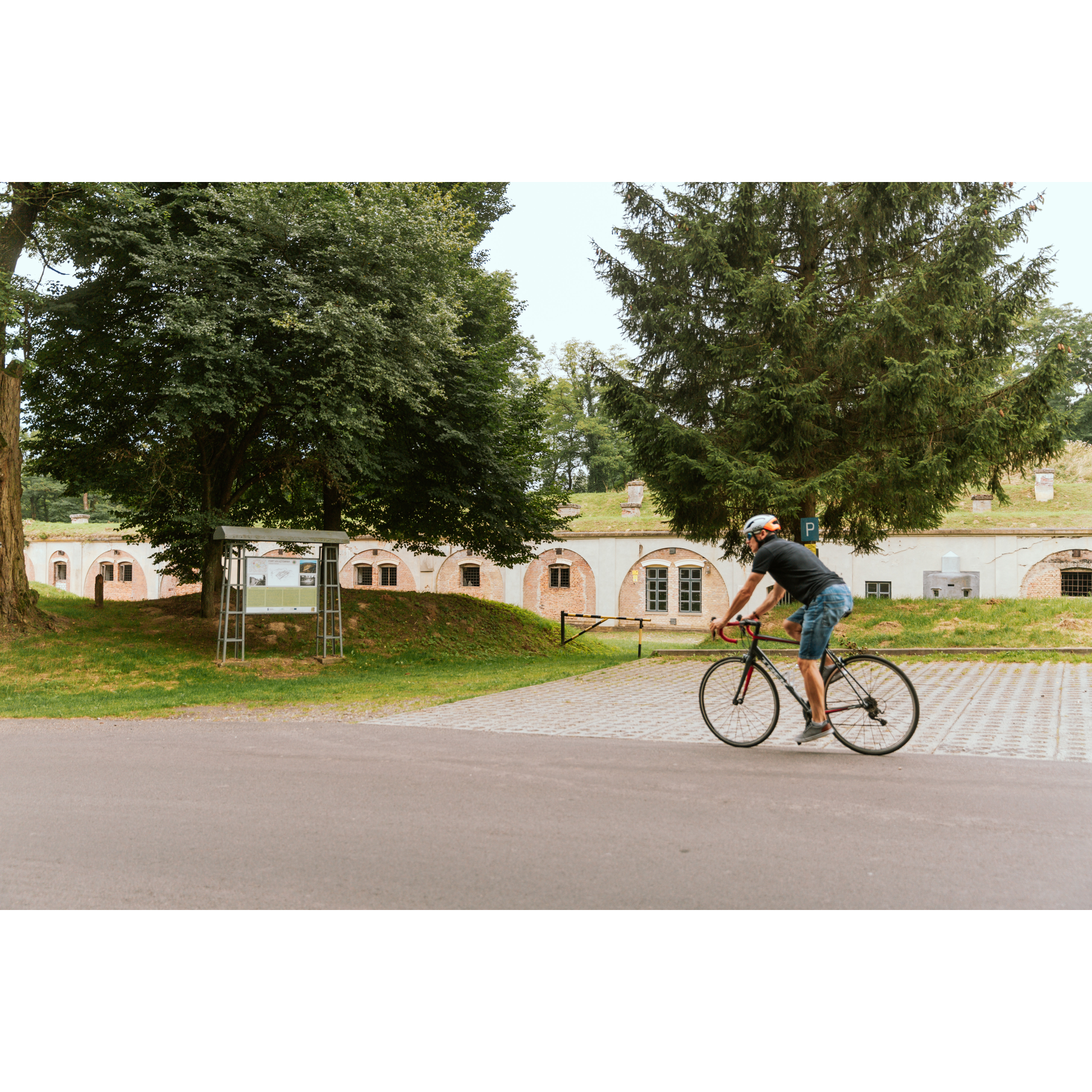
Turn left from Długa Street onto Orłowicza Street, and then turn right onto Markiewicza Street. You will reach the market square in Pruchnik. Surrounded by low single-family buildings, except for the town hall in the northern part, it is well developed, with landmarks described. The oldest wooden houses date back to the 18th century. Columns supporting their porches, as well as stone foundations visible at some buildings, catch the eye. The old houses are covered with shingles. The square is mostly grassy, with numerous benches for resting, and from the town hall, you can see a forest panorama of hills to the south of the town. Head west on Jana Pawła II Street and make a slight turn onto Jarosławska. It lies along regional road no. 881. Approaching Węgierka, you will notice the ruins of a castle and a manor. The castle was probably built in the 14th or 15th century, and fell into ruin after a fire at the end of the existence of the First Polish Republic. This bastion-type structure, with a single tower, was built on a square plan. Next to it is a noble manor with buttressed foundations and a wooden floor. Turn right off road 881 at this intersection. You will reach the centre of Węgierka and on the way south, you will pass a church, a school, a fire station, and a stadium. 300 metres past the limestone quarry, turn left. You will enter the forest again. A kilometre further, the road will make a turn to the right, which you should follow. Nearly 5.5 kilometres later, you will reach an intersection where you will turn left, soon reaching the Sabatówka stud farm and the Bełwin forestry buildings. Make a sharp right turn past them to reach the village centre. From Bełwin, you will reach Łętownia by the same road. If you are interested in fortification tourism, turn towards the communal cemetery, behind which, hidden among the trees, is Fort VIII "Łętownia" of the Przemyśl Fortress. When you reach the intersection with regional road no. 884, choose the right side. After a few minutes, you will reach the church, the starting point of the trip.
- 3Wapowce44 kmWapowce
Your trip ends near the starting point.
Attractions near this route
Gallery
Check other routes


