Rzeszów and its surroundings
Along Strzyżów Hills and Forests
XML, 112.30kB
About this route
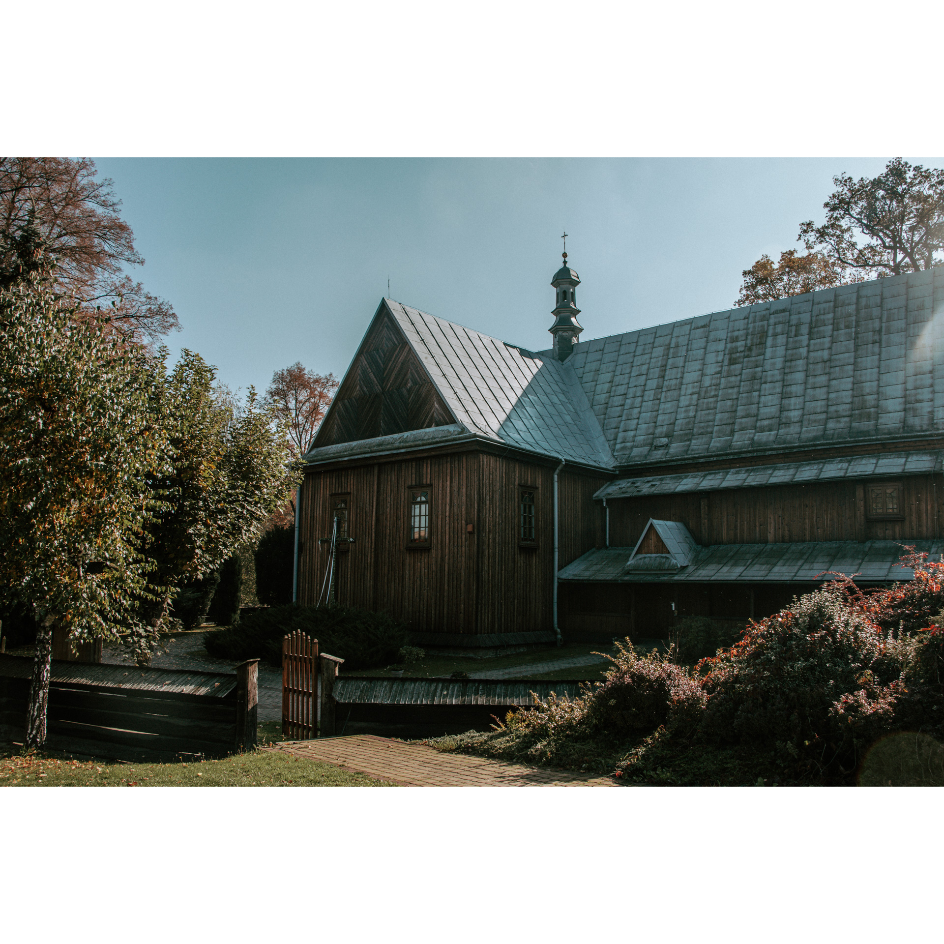
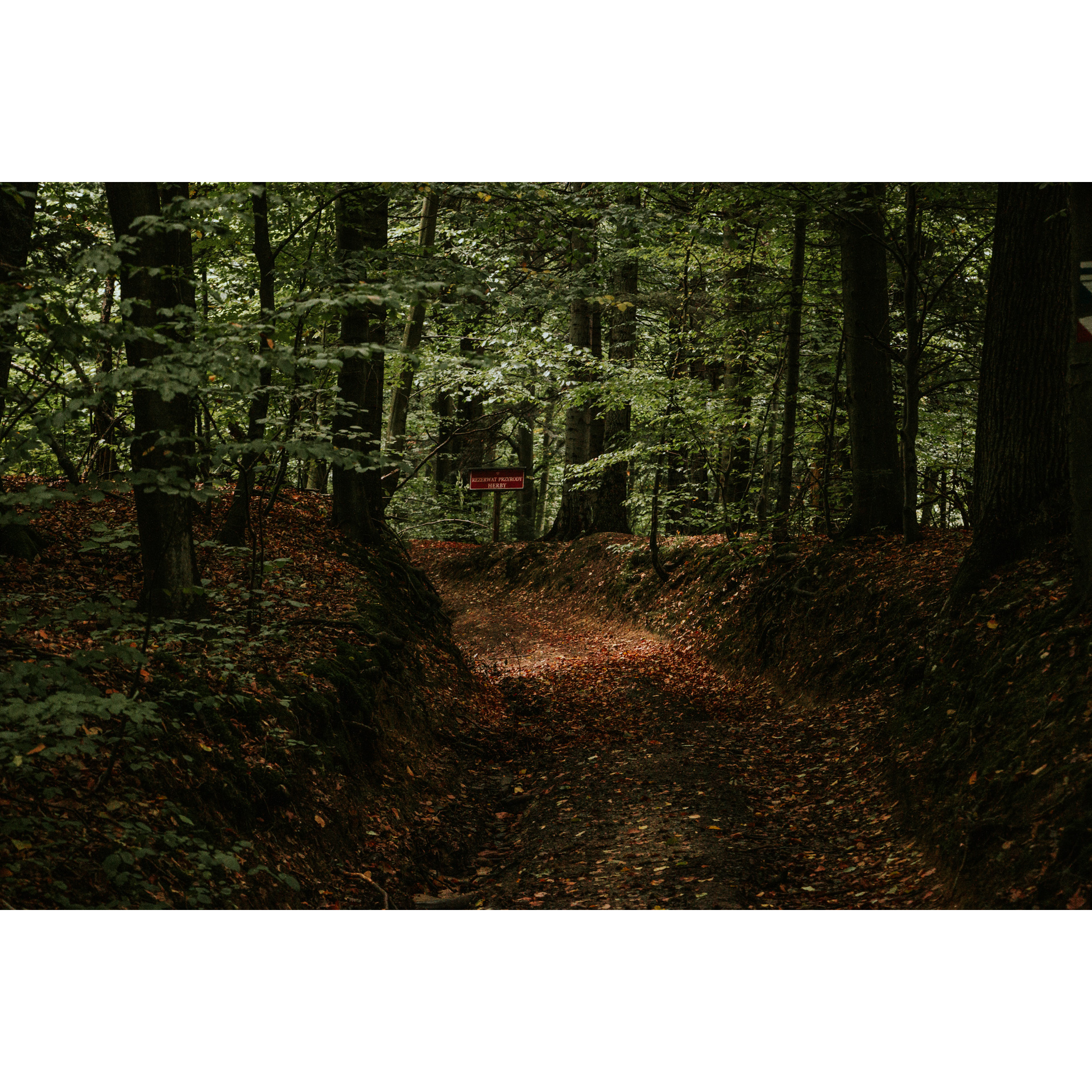
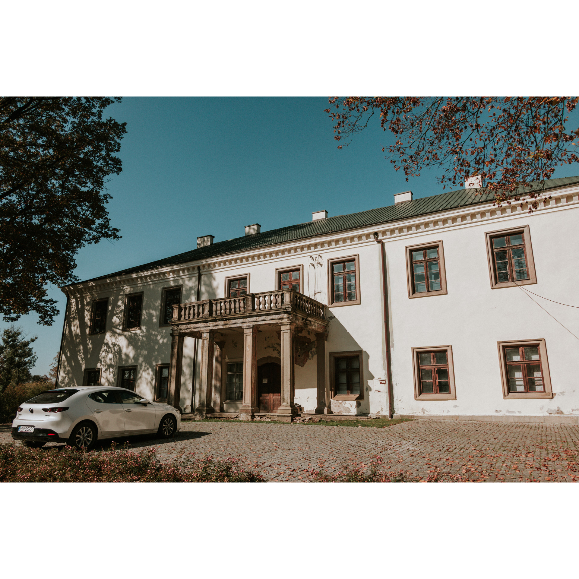
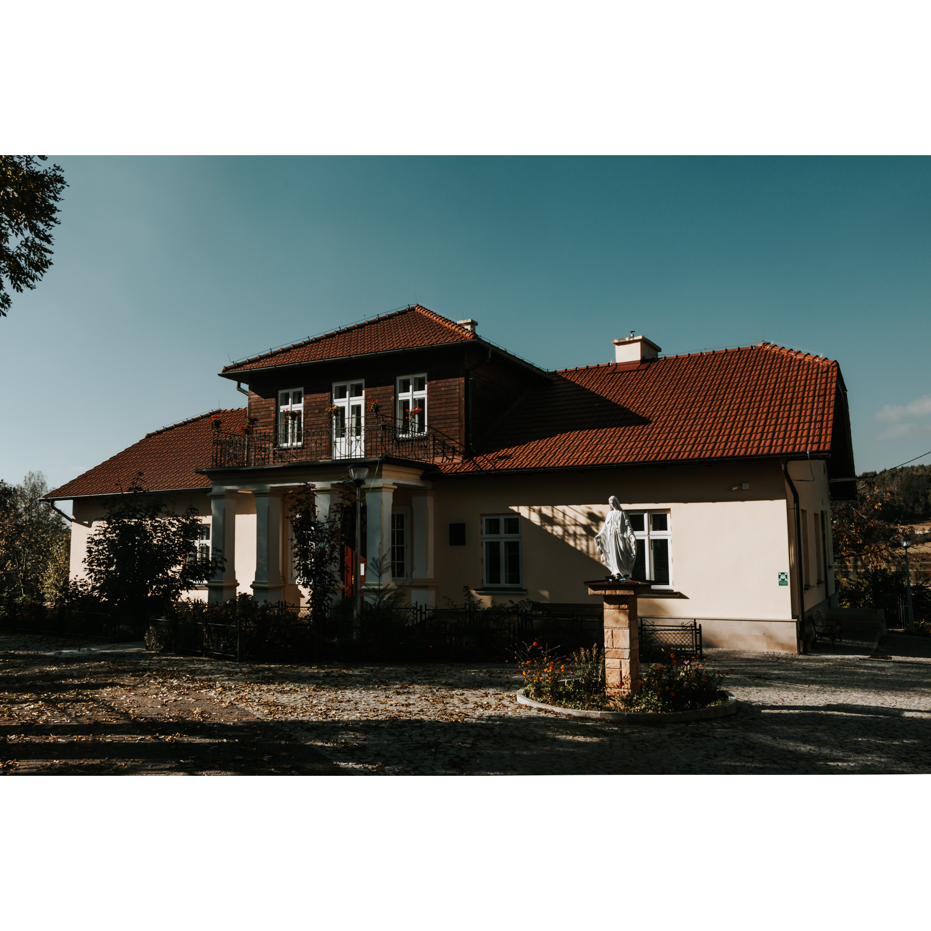
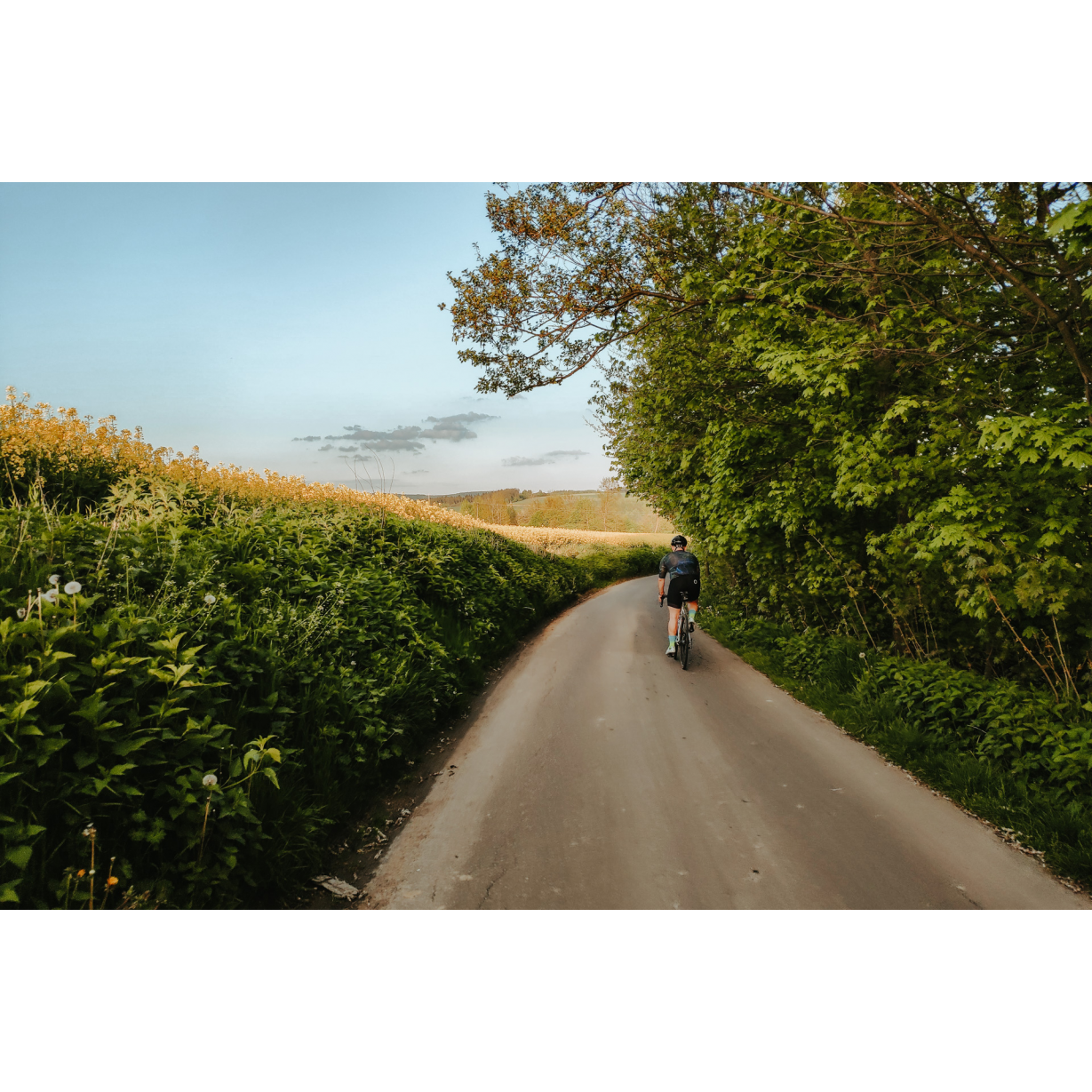
A challenging route, both due to the distance of almost 60 km and the number of climbs that await you. It leads through the north-western surroundings of Strzyżów – an old town among the hills. This is primarily a scenic route, but you will encounter many charming chapels, churches, and even preserved and restored noble mansions with centuries-old history.
Practical advices
When preparing for a route, be sure to check the weather forecast. This will allow you to take appropriate clothing and limit your luggage as much as possible. However, it is well known that the weather can be unpredictable, so be prepared if it gets worse. It is good practice to pack a thin rain jacket that does not take up much space.
Before starting the route, carefully analyse it on a map. Consider whether your skills and equipment are adequate for the level of difficulty of the route.
Download the accompanying .gpx file so that you always have your navigation at hand. To make sure your device doesn't fail you, also bring a power bank, charger or spare batteries. If the weather changes, you may find it useful to have a waterproof case for your electronic equipment.
Be sure to take drinks and food with you on long journeys; you never know when you will get hungry. Remember that a shop or restaurant may be located a long way away. We recommend that you stock up on water, isotonic drinks, energy bars and snacks. This will make sure you don't lose the motivation to continue riding.
The absolute basis for safety is, of course, a helmet. Also, prepare yourself technically. Make sure you have adequate lighting on your bike. Pack a repair kit. Spare inner tubes, a pump, a multitool, all of these things can come in handy in the event of a breakdown, which of course you don't want!
Rzeszów and its surroundings
Audiodeskrypcja tekstowa
Route details
Strzyżów – Wielopole Skrzyńskie – Jaszczurowa – Wiśniowa – StrzyżówStart
- 1Strzyżów0 kmStrzyżów
The Galician town of Strzyżów is an extremely interesting place. In addition to the typical market square of a small town, once commercial in nature and now representative, you can find a church here, the walls of which date back to the 15th century, richly adorned with polychrome and featuring the miraculous image of the Madonna of Strzyżów, as well as a railway tunnel – part of the German railway bunker complex Anlage Süd. Depart from the market square via Łukasiewicza Street, heading west. It will soon transition into Jana III Sobieskiego Street. At the roundabout beyond the town, go straight, entering regional road no. 988. At a distance of 600 metres past the roundabout, turn right onto Graniczna Street. With a not very steep climb, you will reach the bridge over the still narrow Wisłok River in Dobrzechów. After the bridge, turn left onto Kościuszki Street. You will now ride through sparse rural buildings, fields, and small wooded areas to Grodzisko. When you pass bus stops almost opposite each other on both sides of the road, head in the direction of Ropczyce and Wielopole Skrzyńskie, according to the signpost. The first village you will encounter is Zawadka. Having passed through the village, you will reach an intersection with a brick lantern chapel in the centre – turn left. Then continue straight on the main road to reach Nawsie. A climb awaits you, but it is not very steep. After passing a large brick church, you will reach Wielopole Skrzyńskie after 3.5 kilometres.
- 2Wielopole Skrzyńskie17.7 kmWielopole Skrzyńskie
In the village, you can head to the market square, which testifies to its urban past that lasted almost 600 years! Worth noting is the Baroque church of the Assumption of the Virgin Mary from 1678 and the remnants of the town fortifications. Exit the village towards the north-east – from the road you entered on, turn right before the built-up area, and again right after 100 metres to cross a bridge over the Wielopolka river. Continue on the priority road that bends near the timber industry plants. Stick to this route through gentle hills, fields, and forests. In this way, after 22.5 kilometres you will reach Szkodna. However, do not enter the village – at the intersection on the bend of the road, turn sharply left onto the road leading through fields. If you are lucky, you will see the Tatra Mountains from a nearby viewpoint. Apparently, this happens quite often. At the field junctions, keep going straight. At the fences of Glinik, turn left, to the south, onto regional road no. 986, only to abandon it after 200 metres by turning right. At the fork after the bridge over the Wielopolka, keep to the left side and after 200 metres turn left onto a narrow asphalt road. Now be careful – in the third grove, 1.1 kilometres from the intersection, turn left to exit the tree-lined path after 400 metres and head to the right. You are in Brzeziny. Pass through the village and turn according to the signpost towards Jaszczurowa, next to a chapel from 1890. Stick to the main road – at the wide bend to the right, keep to the right side.
- 3Jaszczurowa34.7 kmJaszczurowa
With a gentle descent through fields, you will ride down to Jaszczurowa. At the intersection, turn left to pass by the Volunteer Fire Brigade depot and proceed on the tree-shaded road to the end of the village. Further ahead, a serpentine road awaits you. At the crossroads, keep to the left, following the signpost for the red bike trail to Szufnarowa. At the fences of the village where the road ends, turn right and make a rather long descent. Riding along the edge of the forest, stick to the main road and turn right at the first intersection near the buildings. This will lead you to Wiśniowa.
- 4Wiśniowa45.1 kmWiśniowa
You will enter Wiśniowa on the road next to the church. It is worth making a detour to stop at the Mycielski family's burial chapel, a very neat neoclassical building. Turn right onto regional road No. 988 and at the manor buildings (which are worth visiting), go left, heading south. You will cross the railway tracks and reach Jazowa. Near the chapel, stick to the left descent and follow the road through the fields to Kozłówka. Do not turn in the village, keep to the course you previously set to the east. You are riding in the Wisłok valley, where the river becomes wider than it was several kilometres earlier—reaching more than 20 metres in width. In Markuszowa, as in Kozłówka, do not turn, keep going straight. You will only turn left at the end of this road. At the next intersection, go straight and stick to this road, which will lead you in a wide curve to Wysoka Strzyżowska. You will cross a small bridge, and 200 metres after it, turn right. After another 100 metres, stay on the left. Through the village of Gibska, located on the Wisłok River, you will get to the Strzyżów bypass. Cross it at the roundabout, choosing the second exit onto Południowa Street. At its end, make a sharp left onto Mostowa Street to cross the Wisłok River. At the next roundabout, choose the third exit onto Słowackiego Street to reach the market square in Strzyżów.
- 5Strzyżów59.2 kmStrzyżów
Your trip ends near the starting point.
Attractions near this route
Gallery
Check other routes


