Rzeszów and its surroundings
Castles, manors and palaces near Jarosław
XML, 77.39kB
About this route
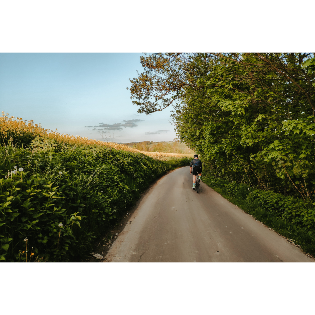
The route leads through plains to the west of Jarosław. You will pass fields and forests, soaking up their tranquility, as well as encounter beautiful places with wonderful history. Manors, palaces, castle ruins, romantic parks – Podkarpacie is full of secrets. Children will also be able to complete the route, although remember that you may encounter larger elevations and more challenging sections of country roads.
Practical advices
Although this route is not demanding, it is worth preparing for it properly, so that nothing surprises you at any point. Start with the most important thing, which is your helmet. A good helmet is essential for your safety. Take care also of proper lighting, both front and rear. In addition to bike lights, equip your bike with reflectors so that you are highly visible on the road.
What else is worth taking with you on a trip? Make sure to pack a sweatshirt or a rail jacket in your backpack, in case the weather changes. It is also a good idea to bring snacks to give you energy during the trip. Protein bars or energy mousses work well.
If you plan to take visit the attractions along the route, you will need to leave your bike behind in some places. To make sure it is still there after the tour, be sure to bring a bike safety device such as a U-Lock or any bicycle lock.
Rzeszów and its surroundings
Audiodeskrypcja tekstowa
Route details
Jarosław – Zarzecze – Pruchnik – Zarzecze – JarosławStart
- 1Jarosław0 kmJarosław
Although in Jarosław you will find a beautiful market square with a Renaissance town hall and tenements reminiscent of those in Zamość or Kraków, we will start the trip near the city park and football stadium. Head out on Bandurskiego Street towards the west and turn left onto Grodziszczańska Street. Cross the wide Krakowska Street and head onto Szczytniańska Street. You will cross over the railway tracks and reach a roundabout with a kidney-like shape. Take the second exit and immediately turn right onto a subordinate road. Using Krzyżowe Drogi Street, you will reach a church with a modern bell tower, behind which turn left. As you continue forward, you will pass an elementary school in Tywoni and turn left at the Volunteer Fire Brigade depot. The road leads in a wide curve to the outskirts of the village. At an asymmetrical junction, turn left. After nearly a kilometre, you will pass over a viaduct above the A4 motorway. When you reach the end of the road amidst the sparse buildings of Cieszacin Wielki, turn right to reach Cieszacin Mały through the fields via the main road. Turn right onto an asphalt road and after about 20 metres turn left onto a field road that will lead you to the edge of a forest with a relay station and a kilometre post of the St. James' Way. Enter the forest and continue on the main road. After a kilometre, you should exit the thickets heading south-west, seeing the buildings of Zalesie Żurowskie ahead of you. At the chapel in the village, gently turn left and follow the main road south. Beyond the village, you will encounter another forest and through a gentle descent will reach Zarzecze.
- 2Zarzecze14 kmZarzecze
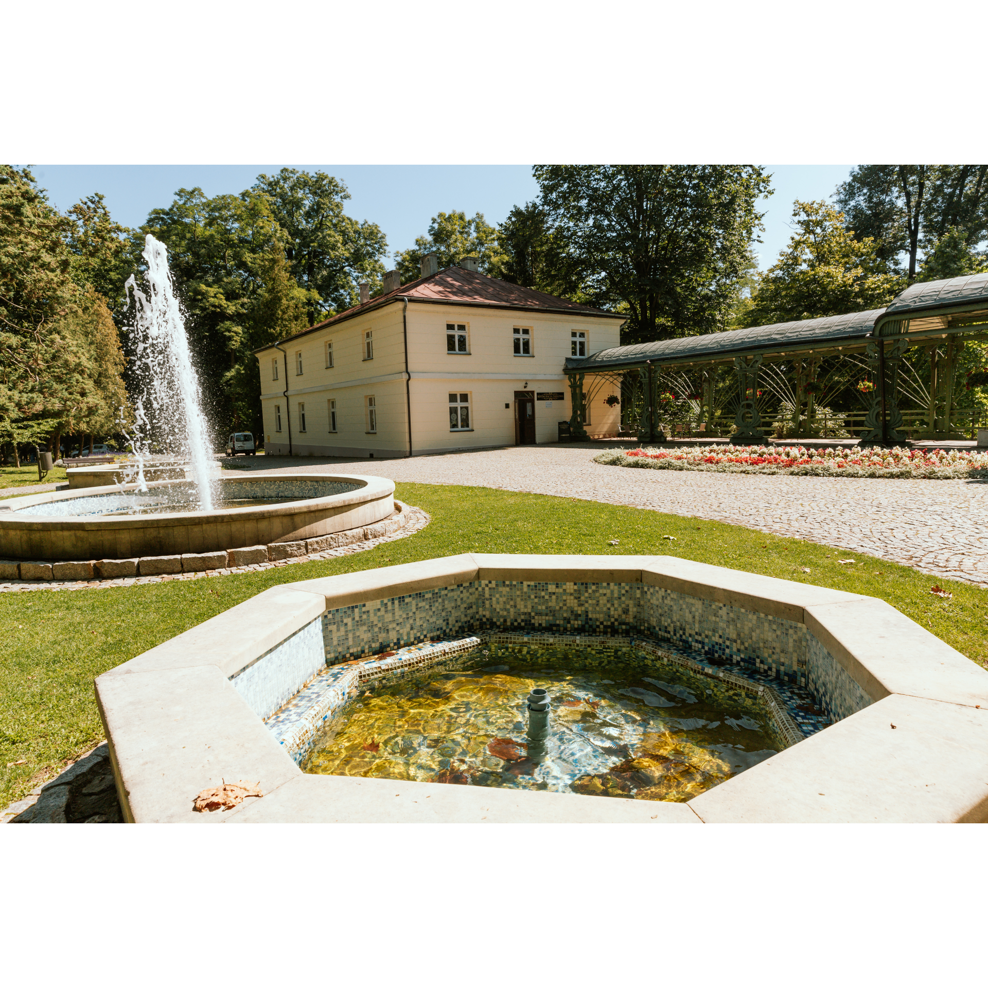
A mandatory stop in the village is the romantic park and palace-park complex with the Dzieduszycki Museum. The palace dates back to 1819, as does the park. The museum preserves the richly furnished palace interiors, complete with numerous works of art, some of which were brought over by the founder of the palace from Italy. An architecturally standout feature is the Roman-style tower adorned with Doric columns and intricately crafted architrave. In the park, there are not only plantings from the 19th century but also older specimens of five-hundred-year-old oaks. Meanwhile, an attraction for military tourism enthusiasts is the Kochbunker, located on the north-western outskirts of the village. It is a small, round, concrete machine gun post. It was part of line b-2, which the Germans built in 1944 to halt the advance of the Red Army. From Zarzecze, head south on Domki Street and at the junction beyond the Mleczka stream, keep to the right. Beyond the school in Rożniatów, make a sharp left turn. Before you is the small village of Parcelacja Rożniatowska, beyond it a forest, and beyond the forest Czudowice. In the village, turn right to reach Rozbórz Długi. There, follow the signpost to Żurawica. Through an elevation, you will enter Pruchnik via Kańczudzka Street.
- 3Pruchnik28.2 kmPruchnik
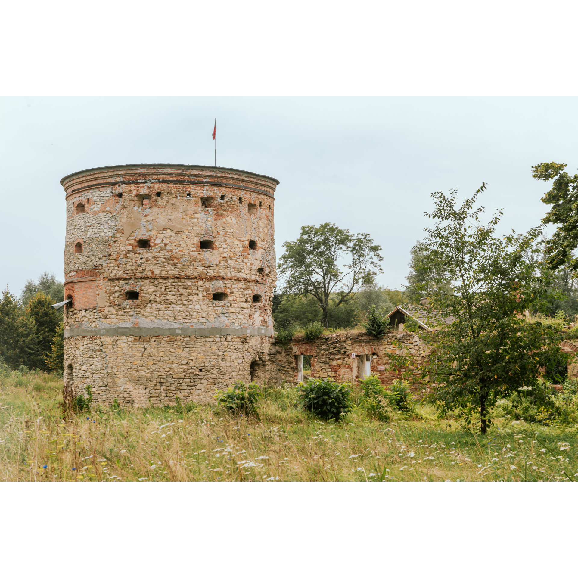
You will arrive at the market square in Pruchnik. Surrounded by low single-family buildings, except for the town hall in the northern part, it is well-developed and the monuments are described. The oldest wooden houses date back to the 18th century. Attention is drawn to the columns supporting their arcades, as well as the stone foundations visible at some buildings. The old houses are covered with shingles. The market square is mostly grassy, with numerous benches for relaxation, and from the town hall, you can clearly see the forested panorama of hills to the south of the town. Head west on Jana Pawła II Street and turn slightly onto Jarosławska Street. It is part of regional road no. 881. Approaching Węgierka, you will notice the ruins of a castle and a manor. The castle was probably built in the 14th or 15th century and fell into ruin after a fire at the end of the existence of the First Republic of Poland. This bastion-type structure, with a single tower, was built on a square plan. Next to it is a noble manor with buttressed foundations and a wooden upper floor. Continue straight on Jarosławska Street, which is now regional road no. 880. In Tyniowice, you can visit a small, forgotten wooden church dedicated to St. Dimitri, as well as a manor with an asymmetrical structure, located in a park, currently serving as a school. Continuing further along the chosen road, you will reach Bystrowice. Turn left from road no. 880 towards Zarzecze. When you exit Bystrowice, you will pass through Cząstkowice and Pełnatycze, lying on the road to Zarzecze. In the first village, there is a small, pretty church with a screen bell tower and preserved cemetery monuments, while in the second, a reservoir formed in an old riverbed of the Mleczka.
- 4Zarzecze42.6 kmZarzecze
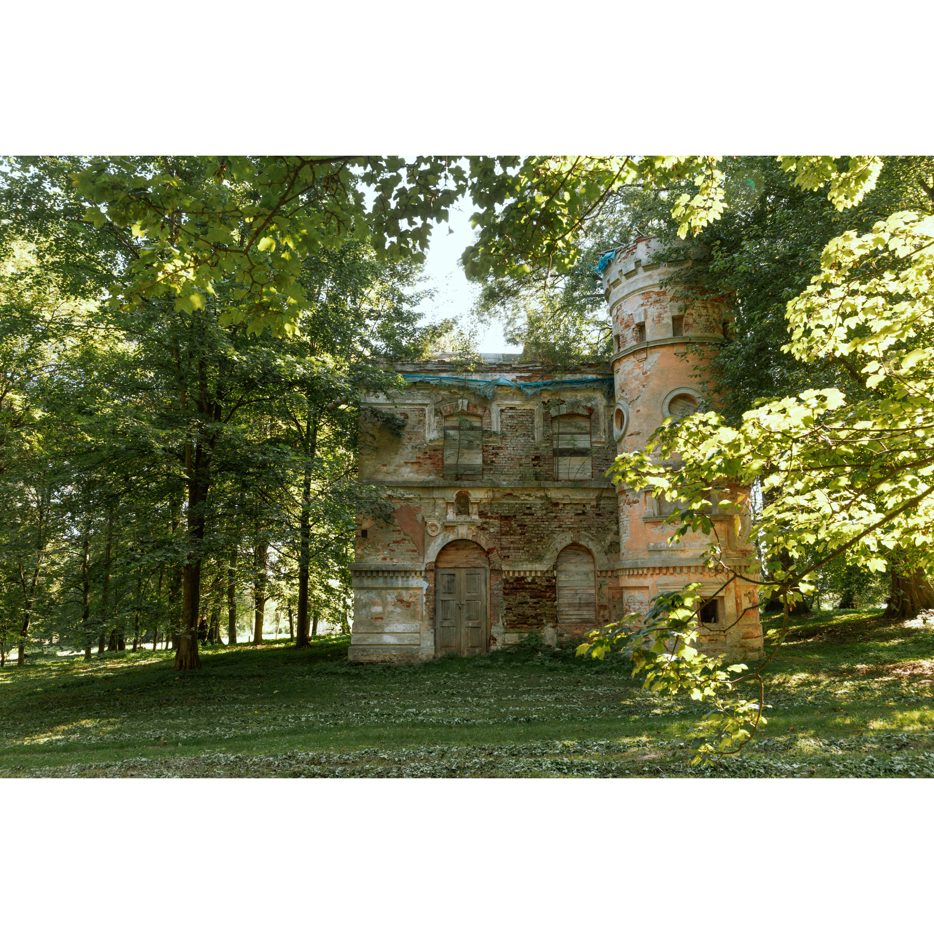
At the petrol station in Zarzecze, turn right. Then, after 1.2 km, turn right in Kisielów, following the direction of the main road. This will lead you to Cieszacin Wielki. In the village, you will find a manor from the early 19th century, or rather its ruin. However, traces of its former glory are visible – the structure still bears features of the Romantic style, combining Renaissance and Gothic elements with neoclassical influences. A significant element is a clearly defined tower. It also has a dark episode in its history – between 1944 and 1945 it served as the headquarters of a Soviet NKVD unit. Go straight through the crossroads at the Volunteer Fire Department and turn left at the school. Stick to the main road, which will take you out of the village in a north-eastern direction. Cross over the motorway, and then cut through the outskirts of Szczytna. In Maleniska, you will come across a kidney-shaped roundabout that you already know. Via Szczytniańska Street, you will reach Krakowska Street and turn left onto Grodziszczańska Street, and then right onto Bandurskiego Street.
- 5Jarosław51.8 kmJarosław
Your trip ends near the starting point.
Attractions near this route
Gallery
Check other routes


