Roztocze
Through the mysterious Eastern Roztocze
XML, 120.16kB
About this route
A long and interesting route lies ahead of you. It will take you to the charming corners of the Eastern Roztocze, located on the border of two regions, Podkarpackie and Lubelskie.
The area you will explore is rich in many valuable sacred monuments: tserkvas and stone Brusno crosses. The base of the route is Horyniec-Zdrój, a well-known spa town in the region.
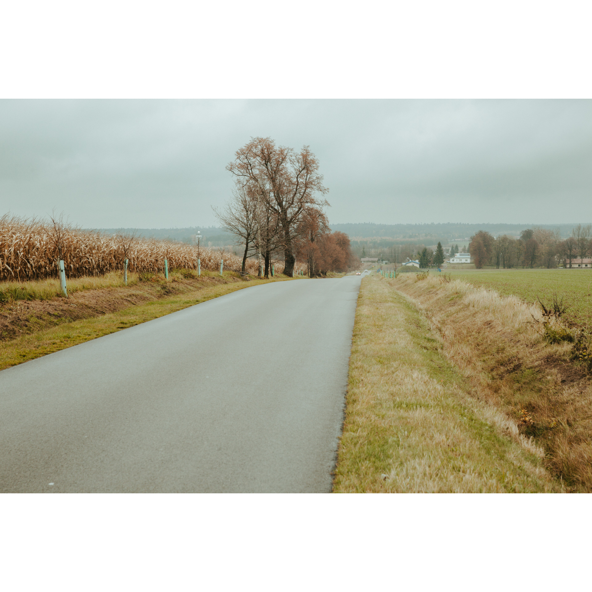
Prepare yourself accordingly, because the route is demanding. It runs partly along regional road no. 867, where traffic is moderate. You will also encounter dirt sections and challenging ascents.
Practical advices
When preparing for a route, be sure to check the weather forecast. This will allow you to take appropriate clothing and limit your luggage as much as possible. However, it is well known that the weather can be unpredictable, so be prepared if it gets worse. It is good practice to pack a thin rain jacket that does not take up much space.
Before starting the route, carefully analyse it on a map. Consider whether your skills and equipment are adequate for the level of difficulty of the route.
Download the accompanying .gpx file so that you always have your navigation at hand. To make sure your device doesn't fail you, also bring a power bank, charger or spare batteries. If the weather changes, you may find it useful to have a waterproof case for your electronic equipment.
Be sure to take drinks and food with you on long journeys; you never know when you will get hungry. Remember that a shop or restaurant may be located a long way away. We recommend that you stock up on water, isotonic drinks, energy bars and snacks. This will make sure you don't lose the motivation to continue riding.
The absolute basis for safety is, of course, a helmet. Also, prepare yourself technically. Make sure you have adequate lighting on your bike. Pack a repair kit. Spare inner tubes, a pump, a multitool, all of these things can come in handy in the event of a breakdown, which of course you don't want!
Discover Roztocze
Audiodeskrypcja tekstowa
Route details
Horyniec-Zdrój - Nowe Brusno - Polanka Horyniecka - Wola Wielka - Długi Goraj - Werchrata - Nowiny Horynieckie - Horyniec-ZdrójStart
- 1Horyniec-Zdrój0 kmHoryniec-Zdrój
The route starts in Horyniec-Zdrój. If you arrive by car, you can park on Mickiewicza Street.
There is a railway station nearby. You can come to Horyniec-Zdrój by direct train from Rzeszów, Łańcut, Przeworsk, Jarosław, Oleszyce and Lubaczów.
From Mickiewicza Street, head north. In the beginning, head along Myśliwiecka Street, and go through the underpass under the railway tracks. Then, from Rolna Street, turn into Sanatoryjna Street.
Riding through Horyniec-Zdrój, you will pass sanatoriums and a promenade with brine graduation towers. Continue along an asphalt road through forests and fields to reach Nowe Brusno.
- 2Nowe Brusno6.5 kmNowe Brusno
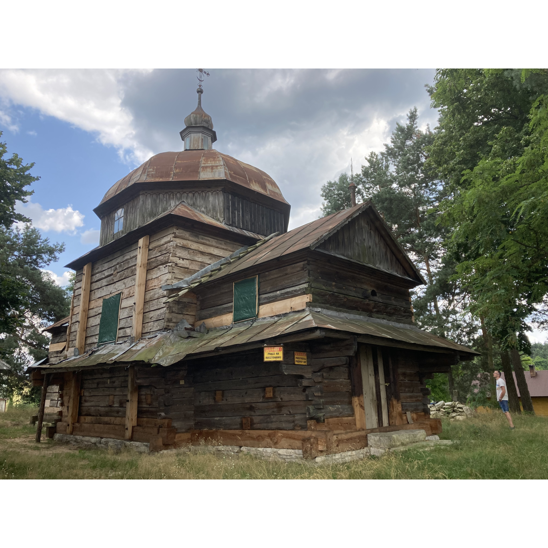
In Nowe Brusno, there is the Greek Catholic Tserkva of St Paraskeva.
This building was erected in the first half of the 18th century. Until 1947, it was a branch temple of the parish in Stare Brusno, then it
was abandoned, and deteriorated for many years. The temple was restored to its former form during restoration in the second decade of the 21st century. Currently, the building belongs to the Museum of the Eastern Borderland in Lubaczów.
Now you are riding among scattered buildings, passing numerous Brusno crosses. The forest on your right hides the history of the defunct village of Stare Brusno. Years ago, it was a thriving stonemasonry centre where the numerous stone crosses found in the area were made.
- 3Polanka Horyniecka8 kmPolanka Horyniecka
To the right of our route is a path leading to the tserkva and the Greek Catholic cemetery. Unfortunately, it is not well marked (to get there you will need to take a turn by a small car park).
On the opposite side of the road is the hill Hrebcianka, where the Molotov Line bunkers have been preserved.
On the way, you will pass the Polanka agrotourism farm. Continue to the right, following the signs of the blue hiking trail and the black cycling trail. Here you will pass more Molotov Line bunkers
- 4Wola Wielka20 kmWola Wielka
Now a quick descent to Wola Wielka. Here you will find the wooden Tserkva of the Protection of the Mother of God.
- 5Długi Goraj30.1 kmDługi Goraj
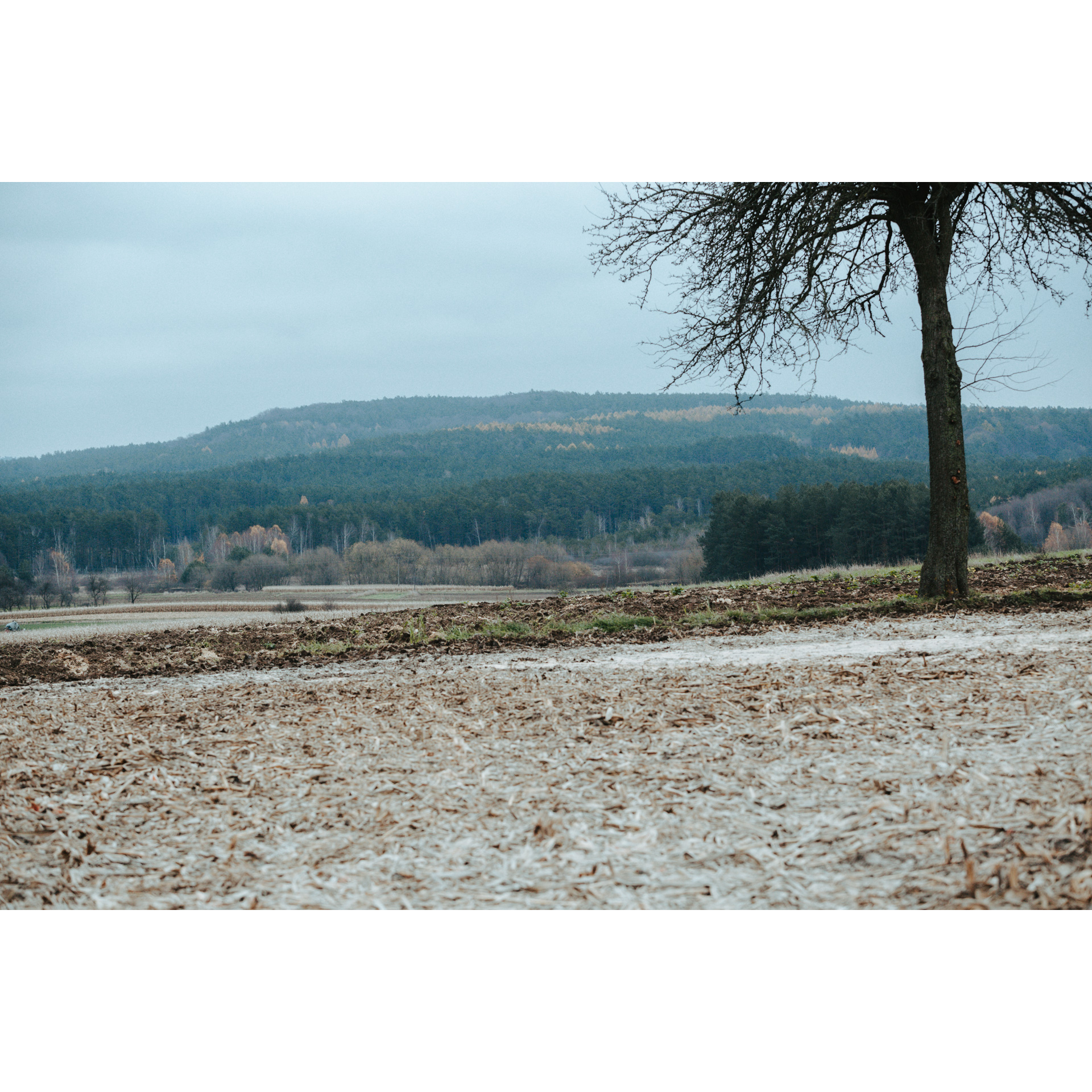
The most demanding part of the route lies ahead of you. Desolate forest roads will lead you to the highest peak in the Polish part of Roztocze, Długi Goraj. To get there, turn left at approximately 29.6 km of the route. After about 0.5 km you will be there.
Follow the same road back to the intersection and head south. The onward route continues through the green, peaceful countryside. The next larger village is Werchrata.
- 6Werchrata36 kmWerchrata
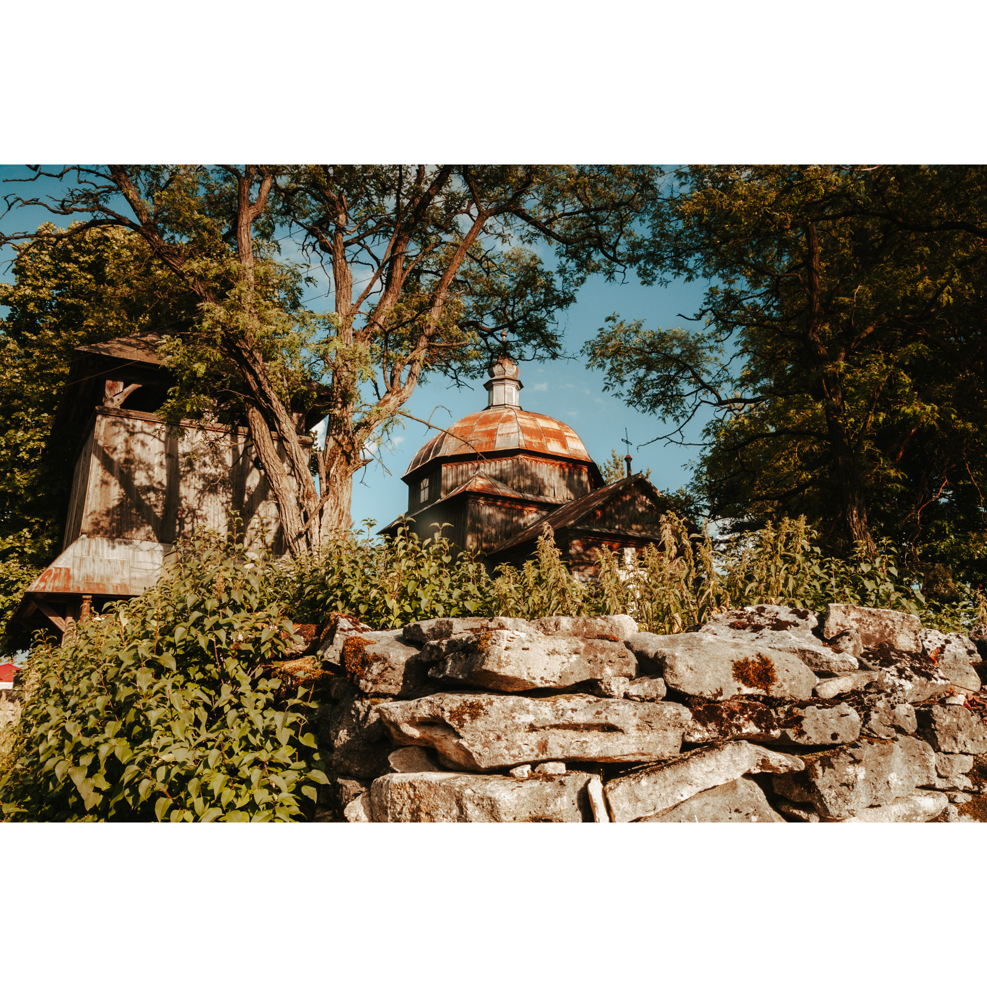
Werchrata is a picturesque village situated in Eastern Roztocze, a short distance from the border with Ukraine, on the Rata River. The village's landmark is the characteristic dome of the tserkva of St. George. The building was erected in 1910.
On the further part of the route, you will pass villages that no longer exist, having been abandoned after World War II.
From the regional road, turn right. Follow the dirt and then asphalt road through the forest towards Nowiny Horynieckie.
- 7Nowiny Horynieckie46 kmNowiny Horynieckie
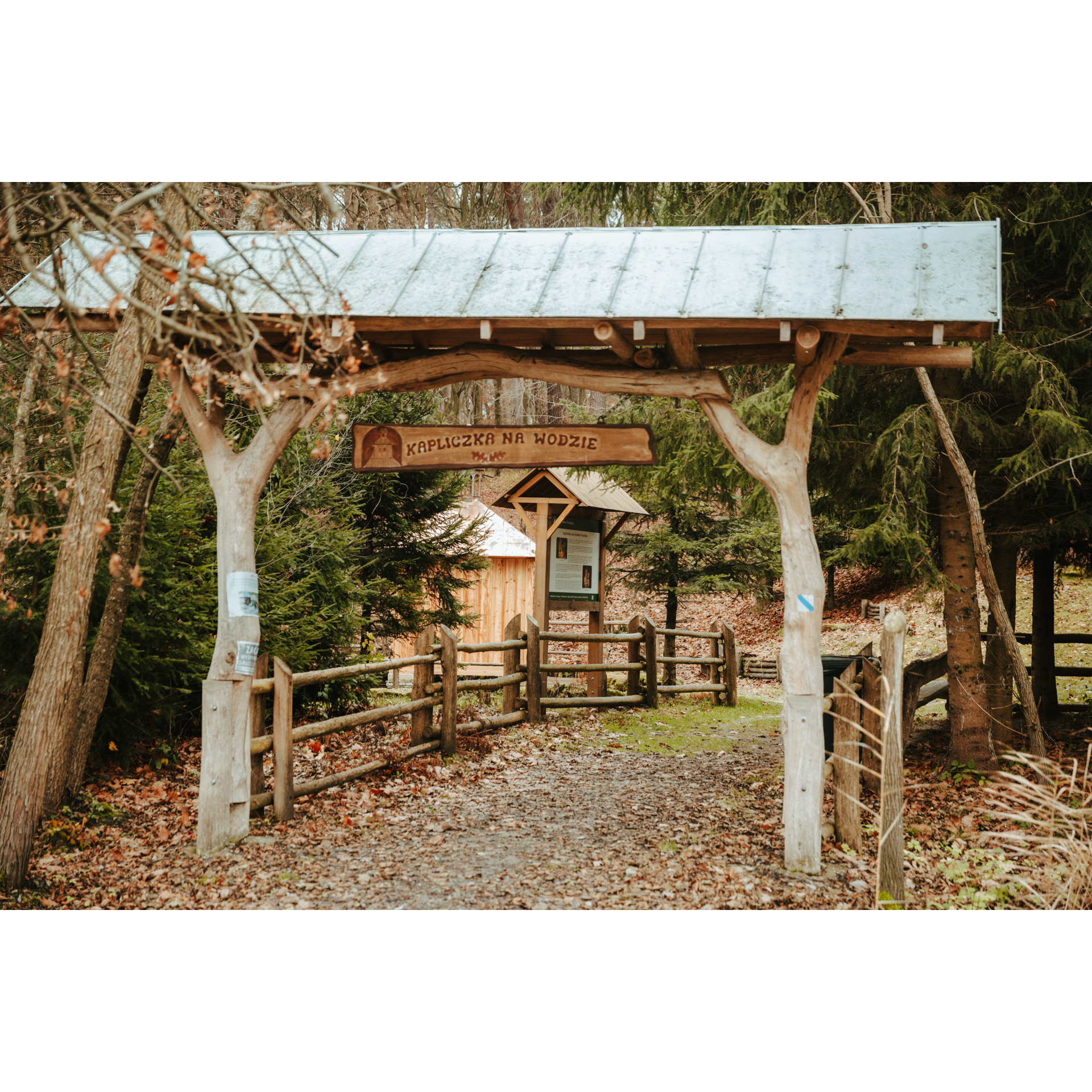
In Nowiny Horynieckie, turn left onto the green trail. This is where you will reach the temple of the sun. According to some sources, this is a stone monolith that may have been a place of worship for Slavs, in the past.
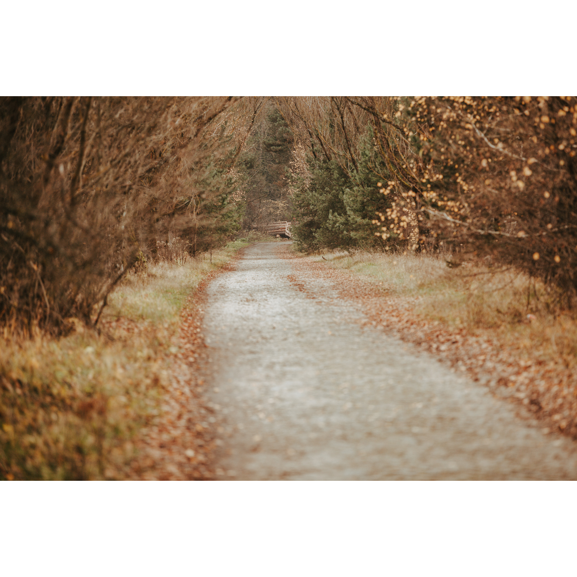
The green trail continues to a forest chapel. Then pass under the railway bridge. You will reach the start point, first on an asphalt road and then on a gravel road through the forest.
- 8Horyniec-Zdrój53 kmHoryniec-Zdrój
You make your way back to Horyniec-Zdrój. On the way, you pass the Franciscan monastery and church, the cemetery with the Poniński mausoleum and the Freedom Monument.
Now it's time for a rest. In the centre of Horyniec-Zdrój, there is a spa park. It is an ideal place to relax after your trip.
Attractions near this route
Gallery
Check other routes


