Rzeszów and its surroundings
The hills of the Wilcze Range
XML, 83.31kB
About this route
The route can be quite challenging. It requires a good level of fitness. In addition to asphalt and gravel sections, you will encounter steep ascents on dirt tracks in places. From time to time, vast panoramas will open up before you. From Błażowa you wil
Practical advices
When preparing for a route, be sure to check the weather forecast. This will allow you to take appropriate clothing and limit your luggage as much as possible. However, it is well known that the weather can be unpredictable, so be prepared if it gets worse. It is good practice to pack a thin rain jacket that does not take up much space.
Before starting the route, carefully analyse it on a map. Consider whether your skills and equipment are adequate for the level of difficulty of the route.
Download the accompanying .gpx file so that you always have your navigation at hand. To make sure your device doesn't fail you, also bring a power bank, charger or spare batteries. If the weather changes, you may find it useful to have a waterproof case for your electronic equipment.
Be sure to take drinks and food with you on long journeys; you never know when you will get hungry. Remember that a shop or restaurant may be located a long way away. We recommend that you stock up on water, isotonic drinks, energy bars and snacks. This will make sure you don't lose the motivation to continue riding.
The absolute basis for safety is, of course, a helmet. Also, prepare yourself technically. Make sure you have adequate lighting on your bike. Pack a repair kit. Spare inner tubes, a pump, a multitool, all of these things can come in handy in the event of a breakdown, which of course you don't want!
Rzeszów and its surroundings
Audiodeskrypcja tekstowa
Route details
Błażowa - Hermanowa - Straszydle - Sołonka - Blizianka - Gwoźnica Górna - Wilcze Peak - Błażowa Górna - BłażowaStart
- 1Błażowa0 kmBłażowa
We suggest the centre of Błażowa for the start. There should be no problems parking your car here. Start your trip at John Paul II square. Next to it is the town hall, currently the seat of the municipal office. Nearby is also the monumental Neo-Gothic Church of St Martin. It was built at the end of the 19th century to a design by Jan Sas-Zubrzycki, a renowned architect from the Lviv Polytechnic National University. The impressive three-nave red-brick building is more than 70 m long and its two towers reach a height of 50 m. The wooden
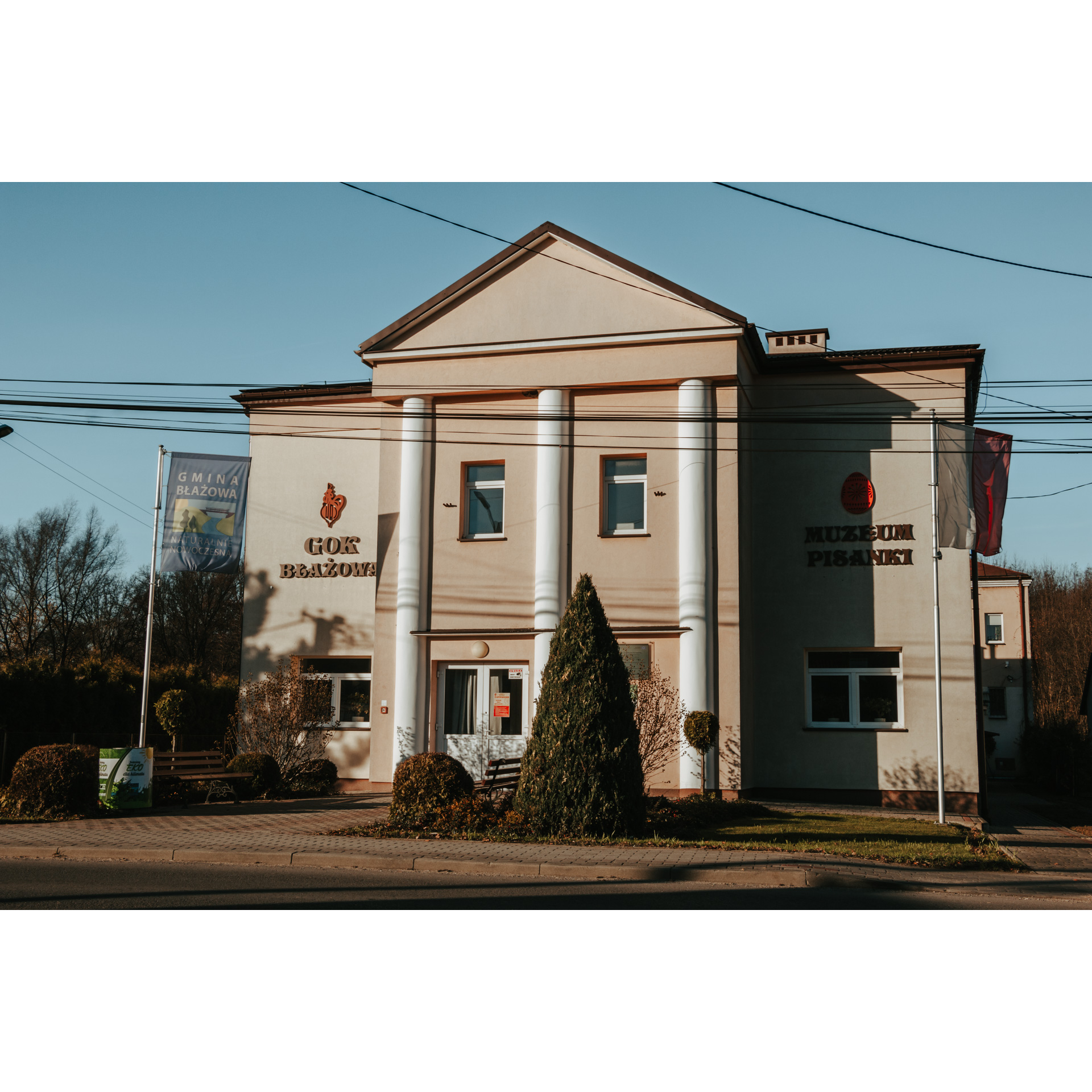
furnishings are the work of local sculptor Kazimierz Krygowski. Behind the church is the Social Museum of the Błażów Region. Also, a little further to the left is the Easter Eggs Museum. The exhibition consists of Easter eggs made by handicraft artists, collected for over 30 years. You can also see household utensils and a collection of textiles, napkins, tablecloths and shawls. The museum also organises an annual competition for the most beautiful Easter egg.
In the northern part of the town, there is a park and a manor house. At the level of the park, turn into Fr. Pilipca Street. Here you will ascend an open ridge with a beautiful panorama. A black hiking trail joins here from the left, leading to a small open-air museum, which you have to make up quite a distance from the main route. Return to the valley, by the manor house. You can have a look at the Jewish cemetery in the copse on the right. Continuing on, you will reach a junction of gravel roads. This is where signage appears. Turn north into Armii Krajowej Street. This will take you to Błażowa Dolna. Follow along this road. In Nowy Borek, turn left 400 m past the school and right at the end of a short, curved section. As you ascend the hill to Kielnarowa, follow the signpost to Hermanowa.
- 2Hermanowa8 kmHermanowa
Take the road among the hills to reach this village. You will then pass through sparsely scattered buildings; turn left at the end of the road, going uphill. At a large crossroads, head straight ahead as indicated by the East of Poland Cycling Trail Green Velo signposts and keep to the asphalt road that runs beside the forest. At the intersection with the bus stop in the middle of an island, keep right. You will then serpentine downhill, with a great view of the valley stretching below. At the bottom, a junction awaits you; follow the signs for Babica, to the left. Stay on this road and you will reach the main village of Straszydle.
- 3Straszydle16 kmStraszydle
In the village, the wooden church from the 18th century is worth mentioning. The main and side altars there are in a beautiful blue-gold design. The nave is separated from the chancel by a rood beam with a passion group, an element absent in modern Catholic churches. At a clearly marked junction of three roads, turn left towards Sołonka. A kilometre further on you will reach this village.
- 4Sołonka20 kmSołonka
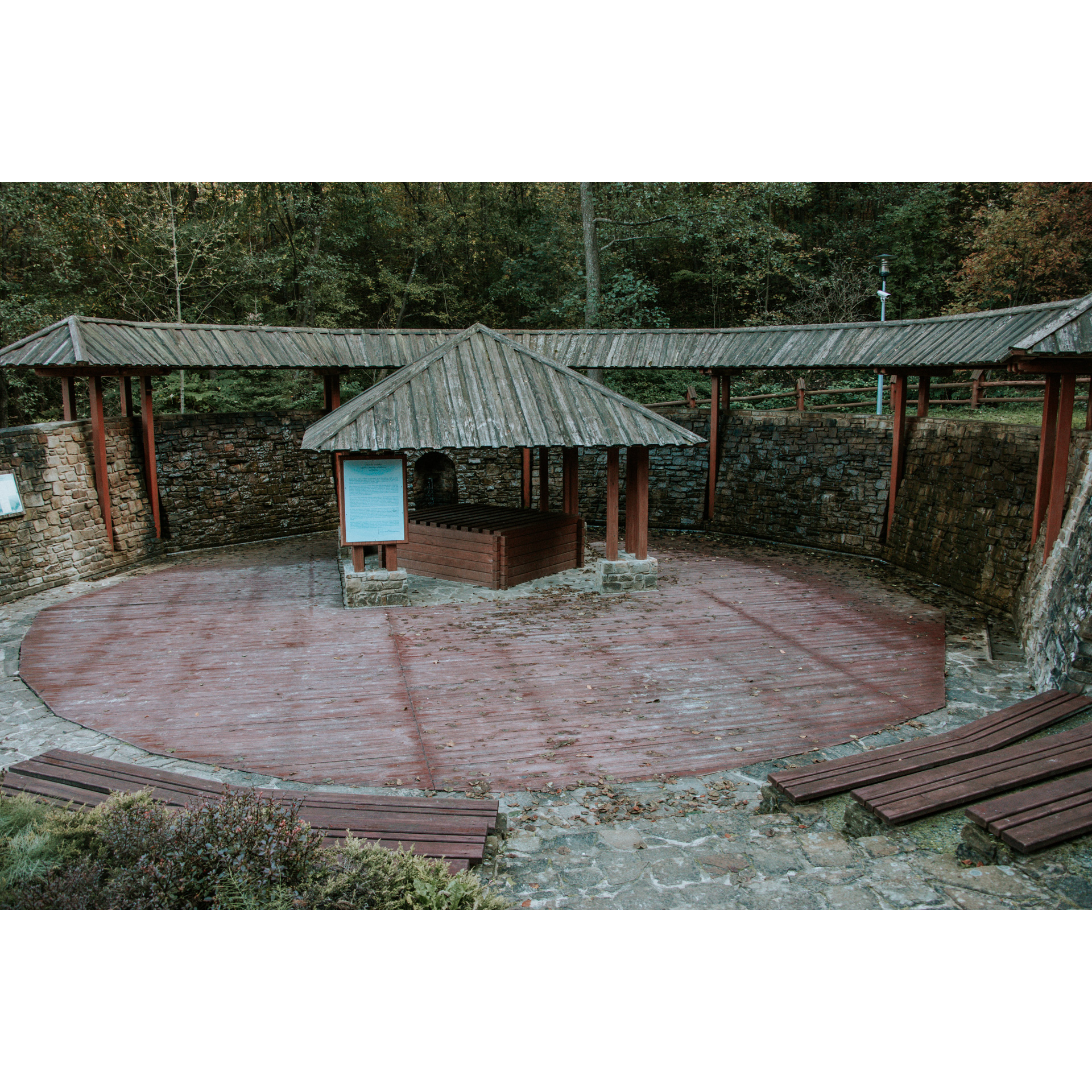
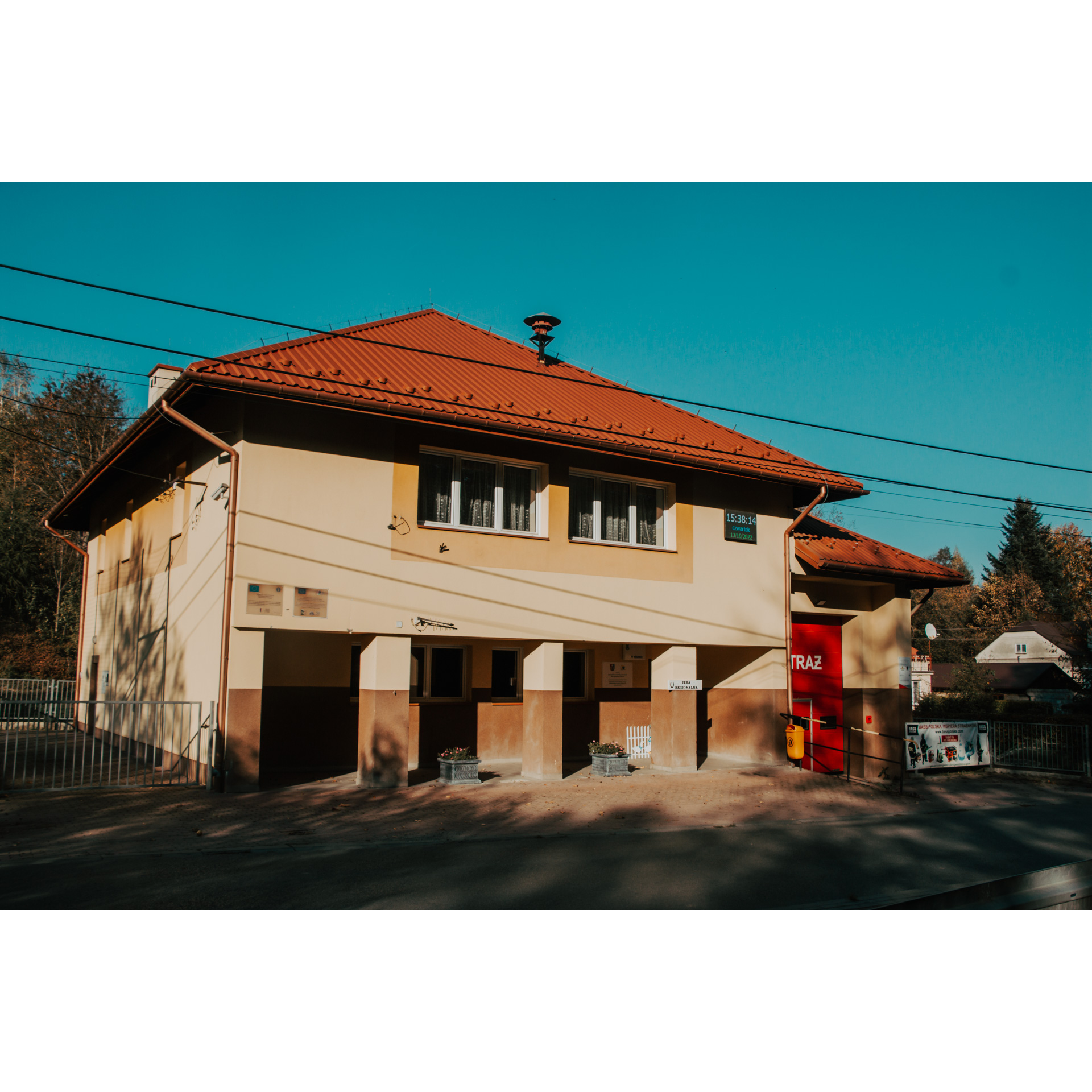
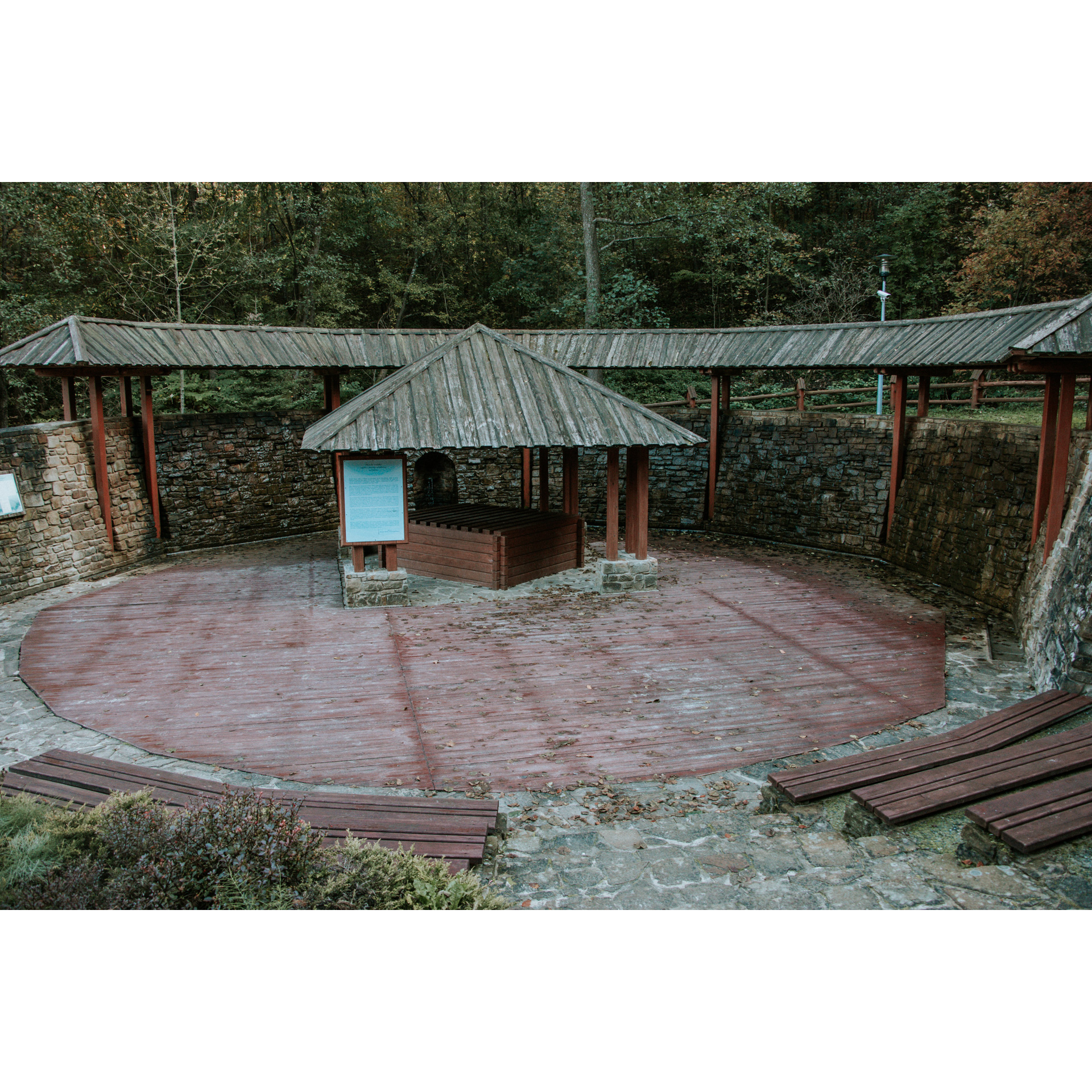
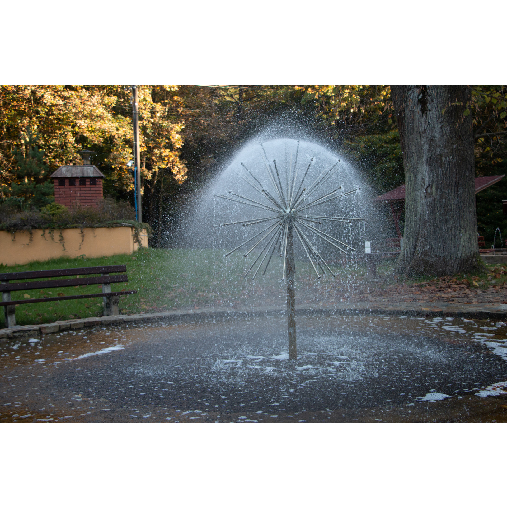
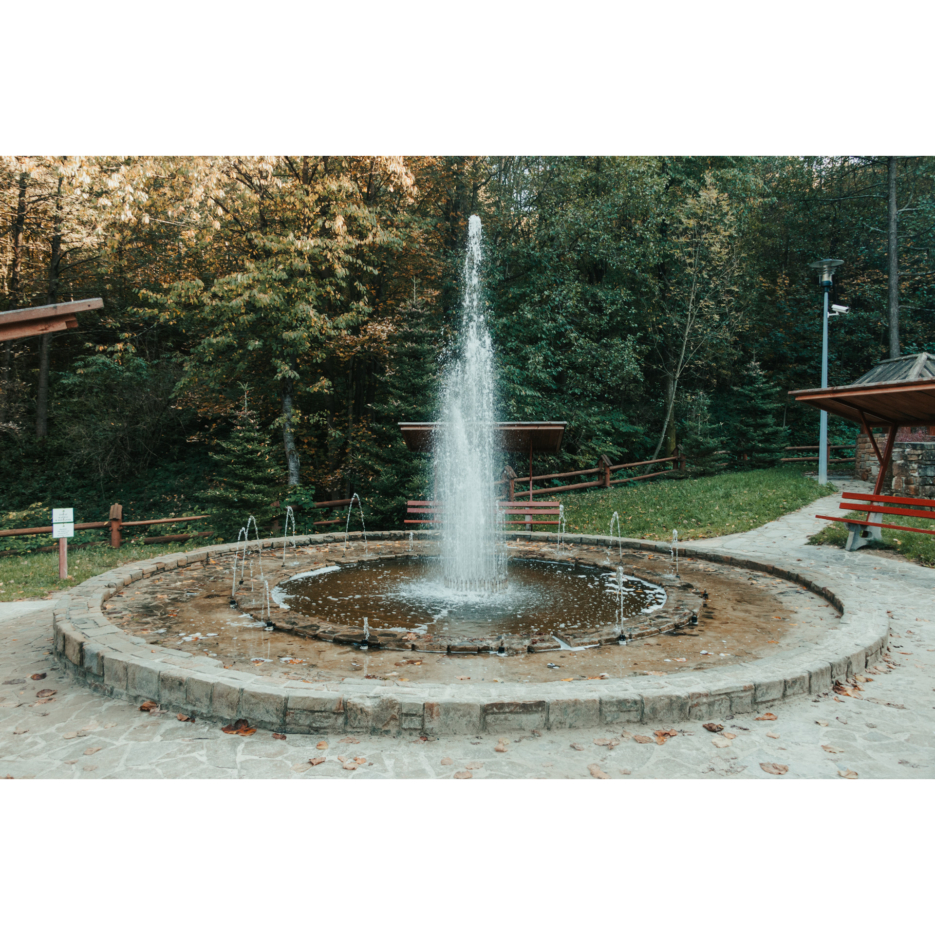
The village houses a regional chamber and the Regional Museum. The museum is famous for its exhibition called "Straszną" (Haunted). The exhibition is devoted to dummies and field scares, once used by peasants to scare away animals. This is not, of course, the museum's only attraction. It also houses ethnographic and historical exhibitions. They include collections of documents, everyday objects, handicrafts and works of folk art. There are also geological and archaeological exhibits and a photographic exhibition. A challenging ascent will lead you to the next attraction in Sołonka, the salt cascade. The history of the use of the local brine water spring dates back to the 16th and 17th centuries. Later, the well was buried. It was not until the 21st century that the old traditions were revived by creating an inhalation cascade. The surrounding area was also developed. Today, it is a popular recreational area with tourist shelters and a children's playground. Continue along the yellow hiking trail. It will take you up to the peak of Wilcze. First, you take a gravel road through the forest, then a scenic asphalt road, passing the village of Blizianka on your right. The road continues to
the Czarnatówka viewing point. After the viewpoint, go straight ahead; you will enter the forest again, gradually going higher and higher. This will take you to the peak of Wilcze (506 m).
- 5Wilcze Peak33 kmWilcze Peak
There is a metal Grunwald cross and a GSM tower. It is also the starting point of a green hiking trail which leads further along the route. The views extend for miles. Go back a bit along the same road, and halfway down the steep green trail, turn right. Now you are faced with a rather difficult section; it leads along a steep and, moreover, rough, boggy path. You pass through a protected forest in the Wilcze Nature Reserve. Established in 1997 and covering an area of over 300 hectares, the reserve is home to around 300 plant species and many animal species. The main objective of the site is to protect a stand of fir and beech trees. Behind the forest, a scenic descent along an asphalt road will take you to Błażowa Górna.
- 6Błażowa39.3 kmBłażowa
Turn left at the end of the descent and then right onto the main road. You will pass a complex of sports facilities and a mass chapel. Continue along Pułaskiego Street over the bridge on the Ryjak River to enter Partyzantów Street, from which you turn into 3 Maja Street, just past the volunteer fire station. The route ends at the starting point.
Attractions near this route
Gallery
Check other routes


