San and Vistula Valley
San Valley between Przeworsk and Ubieszyn
XML, 67.18kB
About this route
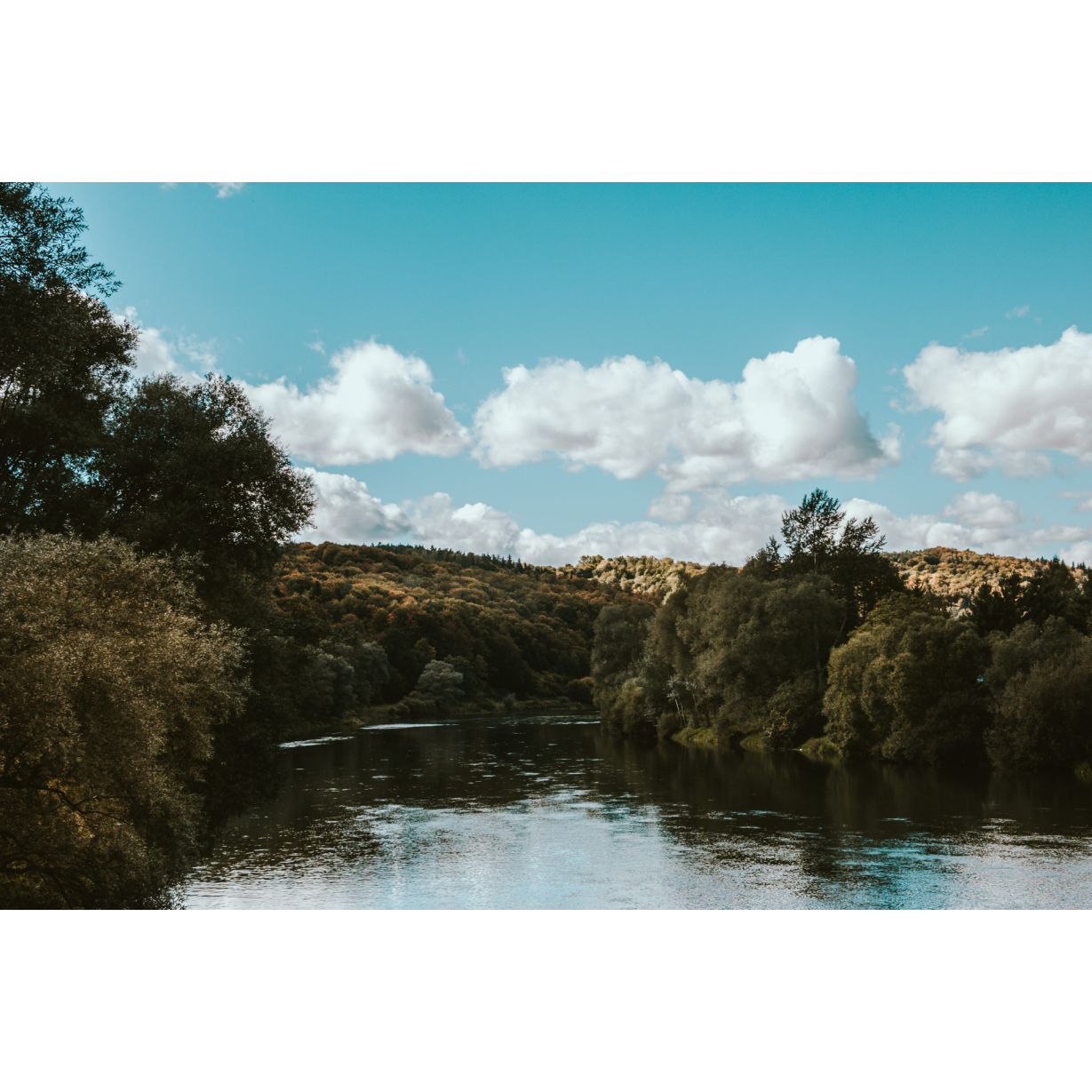
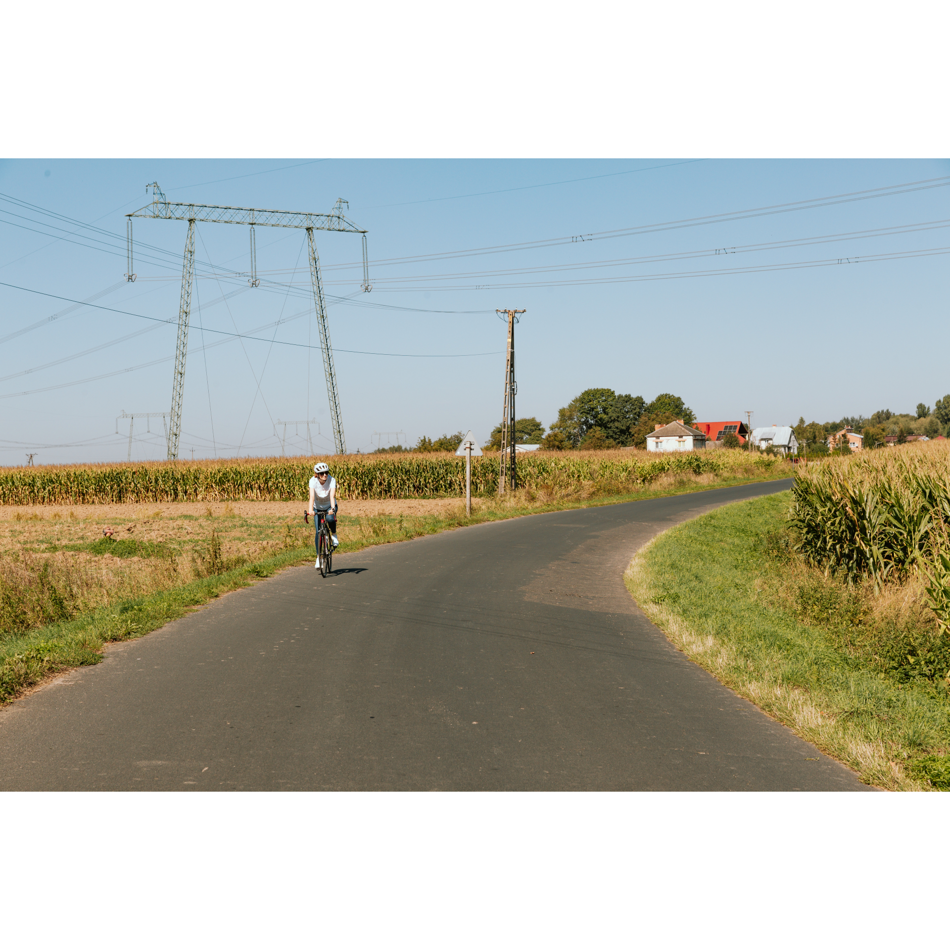
Easy route with a flat course, leading through the San valley, with a beautiful view of the river, valley, and old riverbeds, which have been utilised by humans in various ways. These beautiful places are also touched by history, although we rarely remember it on a daily basis. If you want to take a child on this trip, remember that part of the journey goes through busy roads.
Practical advices
Although this route is not demanding, it is worth preparing for it properly, so that nothing surprises you at any point. Start with the most important thing, which is your helmet. A good helmet is essential for your safety. Take care also of proper lighting, both front and rear. In addition to bike lights, equip your bike with reflectors so that you are highly visible on the road.
What else is worth taking with you on a trip? Make sure to pack a sweatshirt or a rail jacket in your backpack, in case the weather changes. It is also a good idea to bring snacks to give you energy during the trip. Protein bars or energy mousses work well.
If you plan to take visit the attractions along the route, you will need to leave your bike behind in some places. To make sure it is still there after the tour, be sure to bring a bike safety device such as a U-Lock or any bicycle lock.
Dolina Sanu i Wisły
Audiodeskrypcja tekstowa
Route details
Przeworsk – Ubieszyn – PrzeworskStart
- 1Przeworsk0 kmPrzeworsk
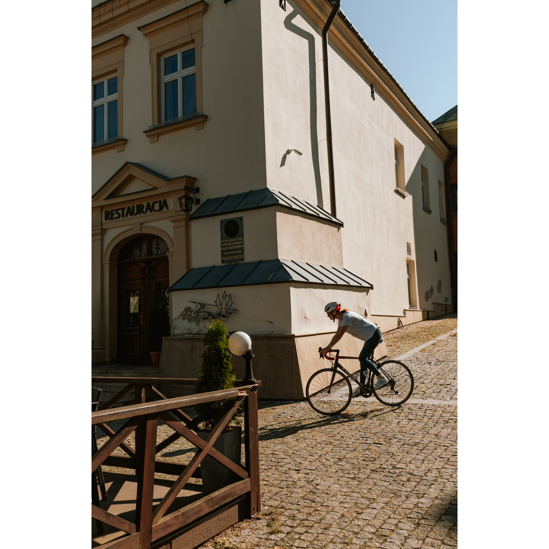
Often one thinks of Przeworsk as just another point on the route that must be passed without paying much attention. This is a very limiting perspective, as this fourteenth-century town has a lot of charm. Looking at the most representative place, which we will take as the starting point for the tour, the market square has preserved its urban layout confirmed in the location act of 1393, but probably given to it earlier, in the 13th century, when in place of the former Ruthenian castle, at the intersection of meridian and parallel trade routes, a town was founded. Architecturally, you can find several gems here, such as renovated Art Nouveau townhouses or a fifteenth-century town hall, the shape of which was last modernised according to Baroque aesthetics in the 17th century. Leave the market square heading east, passing the town hall on your right, to enter Mickiewicz Square, which has the features of a typical Galician trading market, with service-residential buildings. Turn left onto Lwowska Street, then turn right past the school. After crossing the national road no. 94, turn left into Misiągiewicza Street. Through the sparse suburban-type housing, you will go straight into Kopernika Street and further into the village of Rozbórz. Cut through the village on the main road, and then cross under the railway tracks at the first opportunity. At the crossroads, stick to the asphalt road going right. In less than a kilometre, you will go under the A4 motorway lanes, reaching Ujezna. To the village of Pełkinie behind it, from the north enters the national road no. 77, which you will enter next to the cultural centre. You will pass a church, a former Orthodox church, with clear features of a Greek Catholic temple, with a massive dome and a parapet bell tower. Leave the route at the roundabout, choosing the second exit, straight on. Continuing through the fields, you will notice a church and reach the school in Łazy Kostkowskie. Turn left at it, heading north. Going further through the vast fields along the San River, you are also traversing the river valley, passing bends of its old riverbed, mainly visible in the aerial view, but also in curved, sometimes semi-circular groves. In Wola Buchowska, near the road, there is a war cemetery from 1914-1915 - a sad memory of the great history that took place on this land. Continuing north, you will traverse Leżachów-Osada. At the crossroads in Gorzyce, turn sharply right, keeping a course to the north. In this way, after about 4 kilometres, you will reach Ubieszyn.
- 2Ubieszyn26.1 kmUbieszyn
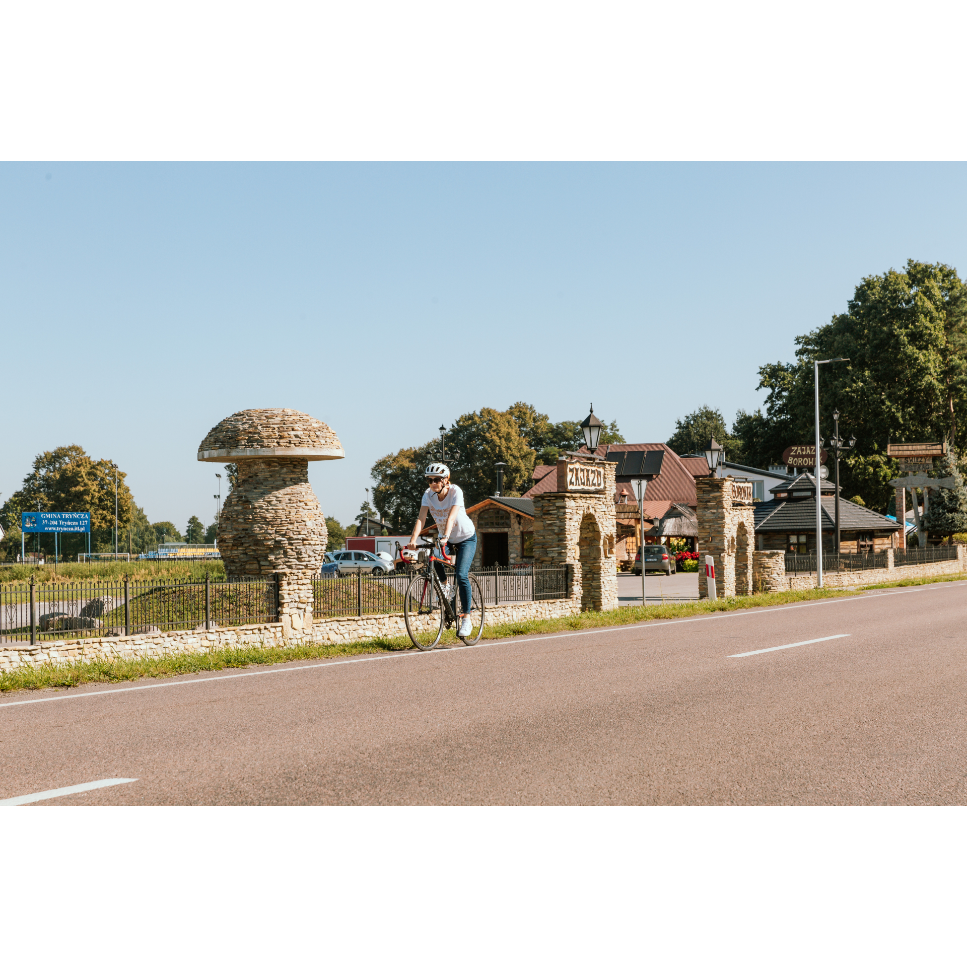
The village guarding the bridgehead on the San River was founded in the 15th century, during the reign of Władysław Jagiełło, and was granted to his loyal and deserving knights. The view of the San in Ubieszyn shows the river in all its majesty - on a gentle bend, full of swollen waters. Right on the riverbank is the Tomb of the Unknown Soldier - a memorial to the battles fought here at the beginning of World War I. Having crossed the San, you would reach Sieniawa, a charming town with numerous Baroque monuments, but turn left onto the regional road no. 835. You will pass through a forest and cut straight across a roundabout hidden among the thickets, and then enter Wólka Małkowa. Further through the forest, you will reach Gniewczyna Tryniecka, whose hallmark is a football team with the fighting name Huragan Gniewczyna. Gniewczyna is a long village where you will pass a school, numerous service points, a cemetery exit, and a nearby cholera cemetery, as well as several chapels. At the petrol station at the end of the village, turn left, otherwise, you will go out onto the motorway. Through the village of Gorliczyna, you will approach the motorway and the outskirts of Przeworsk. Via Tysiąclecia Street, and then through Jan Paweł II Square and Grunwaldzka Street, you will return to the starting point.
- 3Przeworsk41.1 kmPrzeworsk
Your trip ends near the starting point.
Attractions near this route
Gallery
Check other routes


