San and Vistula Valley
Around Łachowa Mountain
XML, 103.39kB
About this route
In terms of navigation, the route is of medium difficulty. As for the inclines – they will test your endurance. In terms of history – there is not much, but instead, there are many beautiful landscapes and views from the hills onto the valleys and especially onto one of the most interesting Polish rivers – the San.
Practical advices
When preparing for a route, be sure to check the weather forecast. This will allow you to take appropriate clothing and limit your luggage as much as possible. However, it is well known that the weather can be unpredictable, so be prepared if it gets worse. It is good practice to pack a thin rain jacket that does not take up much space.
Before starting the route, carefully analyse it on a map. Consider whether your skills and equipment are adequate for the level of difficulty of the route.
Download the accompanying .gpx file so that you always have your navigation at hand. To make sure your device doesn't fail you, also bring a power bank, charger or spare batteries. If the weather changes, you may find it useful to have a waterproof case for your electronic equipment.
Be sure to take drinks and food with you on long journeys; you never know when you will get hungry. Remember that a shop or restaurant may be located a long way away. We recommend that you stock up on water, isotonic drinks, energy bars and snacks. This will make sure you don't lose the motivation to continue riding.
The absolute basis for safety is, of course, a helmet. Also, prepare yourself technically. Make sure you have adequate lighting on your bike. Pack a repair kit. Spare inner tubes, a pump, a multitool, all of these things can come in handy in the event of a breakdown, which of course you don't want!
Dolina Sanu i Wisły
Audiodeskrypcja tekstowa
Route details
Dynów – Iskań – DynówStart
- 1Dynów0 kmDynów
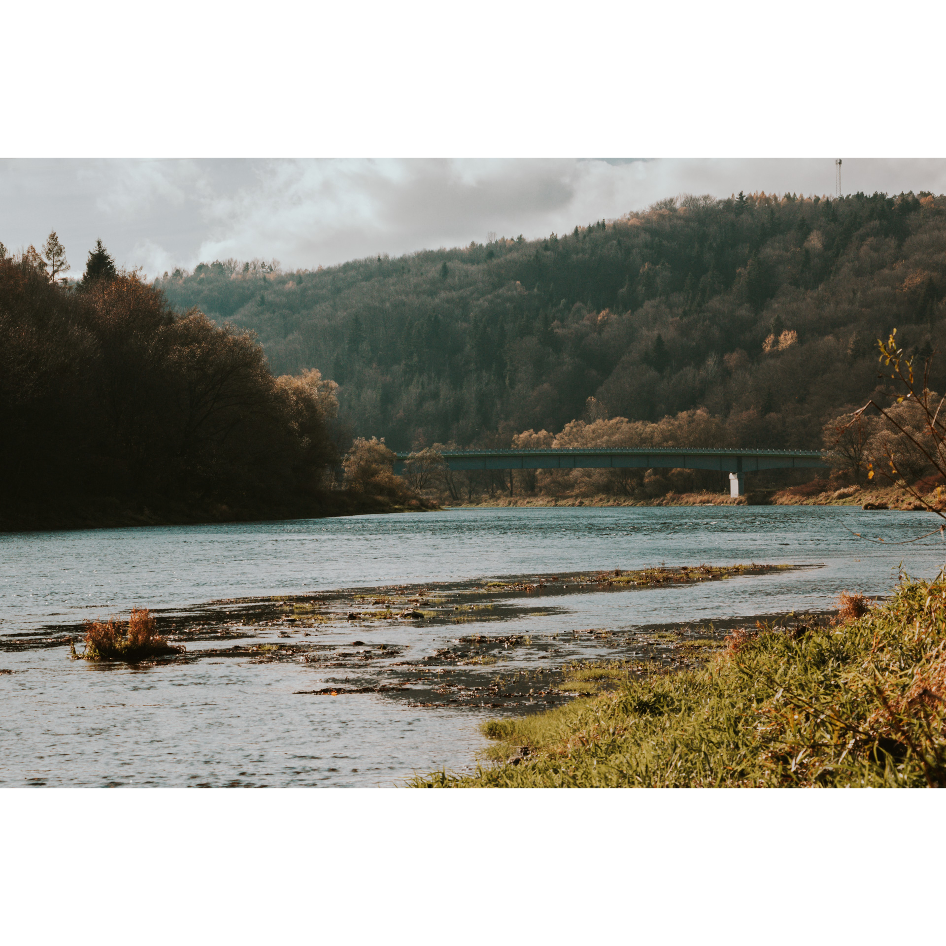
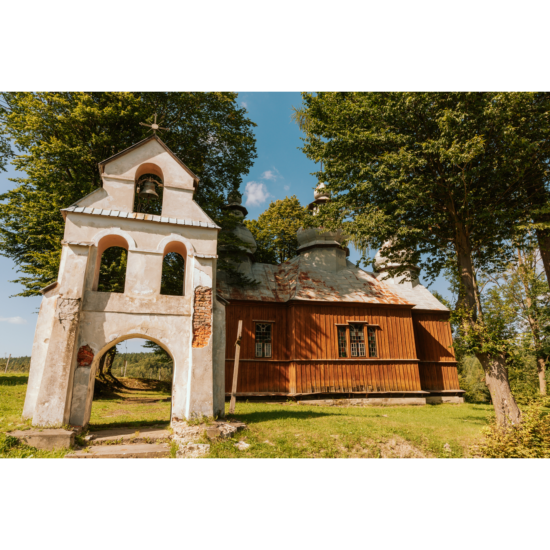
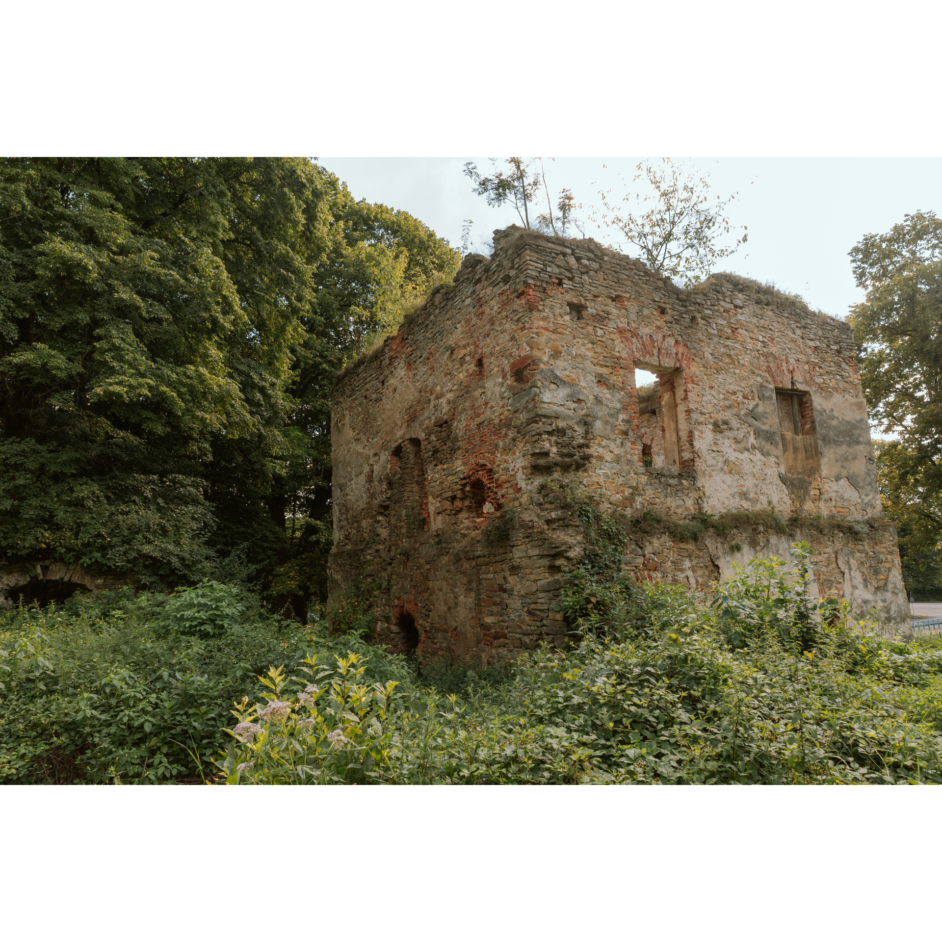
Choose the gas station near the bridge on the San in Dynów as your starting point. Enter the bridge. The San expands in the vicinity of the crossing from 70 to 80 metres wide, which is clearly visible when looking both ways. Even though the river flows calmly, it has dormant power. At the crossroads beyond the bridge, turn right. You will head south, upstream, on a road running along its bed. Through the sparse buildings of Bartkówka, you will reach Dąbrówka Starzeńska. It is worth stopping here by the ruins of the Stadnicki castle. The first stones were laid for it in the 16th century, it was expanded in subsequent years, but in the 20th century, it was destroyed by the Soviets. Continue on the main road in a south-west direction, passing the crossroad straight ahead. You will pass a soccer stadium. The road, forming a wide arc corresponding to the river's bend, leads to Siedliska. You will go by a ferry crossing, then a white chapel house and ponds in the San's old riverbed. At the crossroad by the buildings of the Siedliska Forestry, turn left. You will travel through a valley between forests, passing an old Greek Catholic cemetery and the modern church of the Good Shepherd in Huta Poręby. Keep going straight. In Jawornik Ruski, you will climb up serpentines to the centre of the village, where you will find a wooden church of St. Dmitry with a parapet bell tower and remains of a cemetery around. To see it, follow the signpost to Iskań and then return here, because our route requires you to turn right. Next, you will be at a crossroad in the middle of fields and near a forest – head left. You will enter Żohatyn by a side road, on the main road, turn right. A gentle curve will take you out of the buildings, and you will head north. A paved road will lead you to Piątkowa among the forest and low hills. After Piątkowa, there is Tarnawka. Continuing further east on a slightly winding route, you will reach Iskań.
- 2Iskań30.8 kmIskań
At the crossroads by the gas station, turn left. Driving along the edge of the forest, with the San River on your right, you will cover 5 km. After a bend in the river, you can observe the panorama of Dubiecko, with the distinctly visible tower of the Church of the Immaculate Heart of the Virgin Mary. You will reach the village of Wybrzeże, situated on the bank of the San. Both parts of the village are connected by a ferry crossing and a footbridge. After the footbridge, turn left. The most interesting monument here is the Neo-Gothic granary built in the 19th century for the manor complex. Proceed along the riverbank. You will pass picturesque sections where the forest almost reaches the water's edge. In Słonne, use the suspension footbridge over the San. Then, following the main road, you will reach the Łączki viewpoint overlooking the river valley. Continue on the narrow asphalt road to approach the outskirts of Dylągowa. Descending into the village, stay on the left side at the junction and take a sharp right after the cemetery. You will pass the Neo-Gothic Church of St. Sophia and turn left at the end of the road. After 900 metres, turn right towards the forest. Cross it to emerge in Pawłokoma. From here, it is just one and a half kilometres to Bartkówka, a right-bank district of Dynów. After passing a school and the descent to the church, you will arrive at the bridge, which you will descend onto.
- 3Dynów54.7 kmDynów
Your trip ends near the starting point. Perhaps you would be interested in exploring the centre of this ancient town?
Attractions near this route
Gallery
Check other routes


