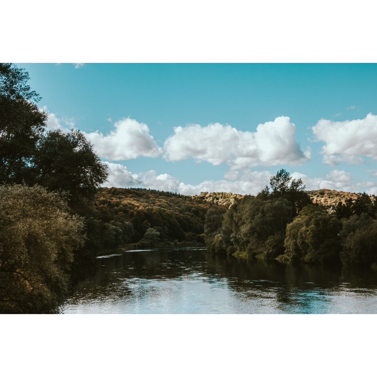
San and Vistula Valley
The ride around the forts of the Przemyśl Fortress, the southern part
XML, 77.65kB
About this route
You will have an almost 5-hour journey ahead of you to visit the forts surrounding the southern part of Przemyśl. The route will be varied. You will not only follow the cycle trail. We will also guide you along the local hiking trails. We believe that you will not be bored and that you will enjoy the southern part of the Fortress Cycle Route around Przemyśl.
Practical advices
A route with a moderate level of difficulty will allow you to test your fitness. Remember that the terrain has a huge impact on how many kilometres you can cover. Trails on flat roads are less strenuous than those on hills or mountain roads.
Planning a group trip? Match the route to the fitness of the weakest participant.
A helmet and light clothing made of breathable materials will be essential for safety and comfort on the route. Other than that, only put on the essentials. Heavy luggage will make your ride more difficult. Also, think about what you will carry the necessary items in. We suggest a backpack or panniers for your bike.
Be prepared for possible breakdowns on the route. It is a good idea to carry the most important tools for a quick fix, such as inner tubes or patches, a pump or a multi-tool. Make sure you have enough water and food, as well as navigation equipment.
Is it looking like a warm and sunny day? Remember sunscreen and sunglasses. If you are planning sightseeing or other activities along the route, a bike lock will also be very useful. Before you leave, carefully examine your route for the trip. Consider whether your skills and equipment are adequate for the level of difficulty of the route.
Dolina Sanu i Wisły
Audiodeskrypcja tekstowa
Route details
Przemyśl (J. Słowackiego St.) - Zniesienia Mountain - Kruhel Wielki - Wapielnica - Grochowiec - Pikulice - Nehrybka - Łuczyce - Jaksmanice - Siedliska - PrzemyślStart
- 1Przemyśl0 kmPrzemyśl
We suggest setting off from the car park next to the cemetery on Słowackiego St. The beginning of the route is quite a demanding ascent. It leads along Przemysława St. (with a cobblestone surface) up to the complex of historical war cemeteries of the Przemyśl Fortress. At the very beginning of the route, you will pass the Tatar Mound.
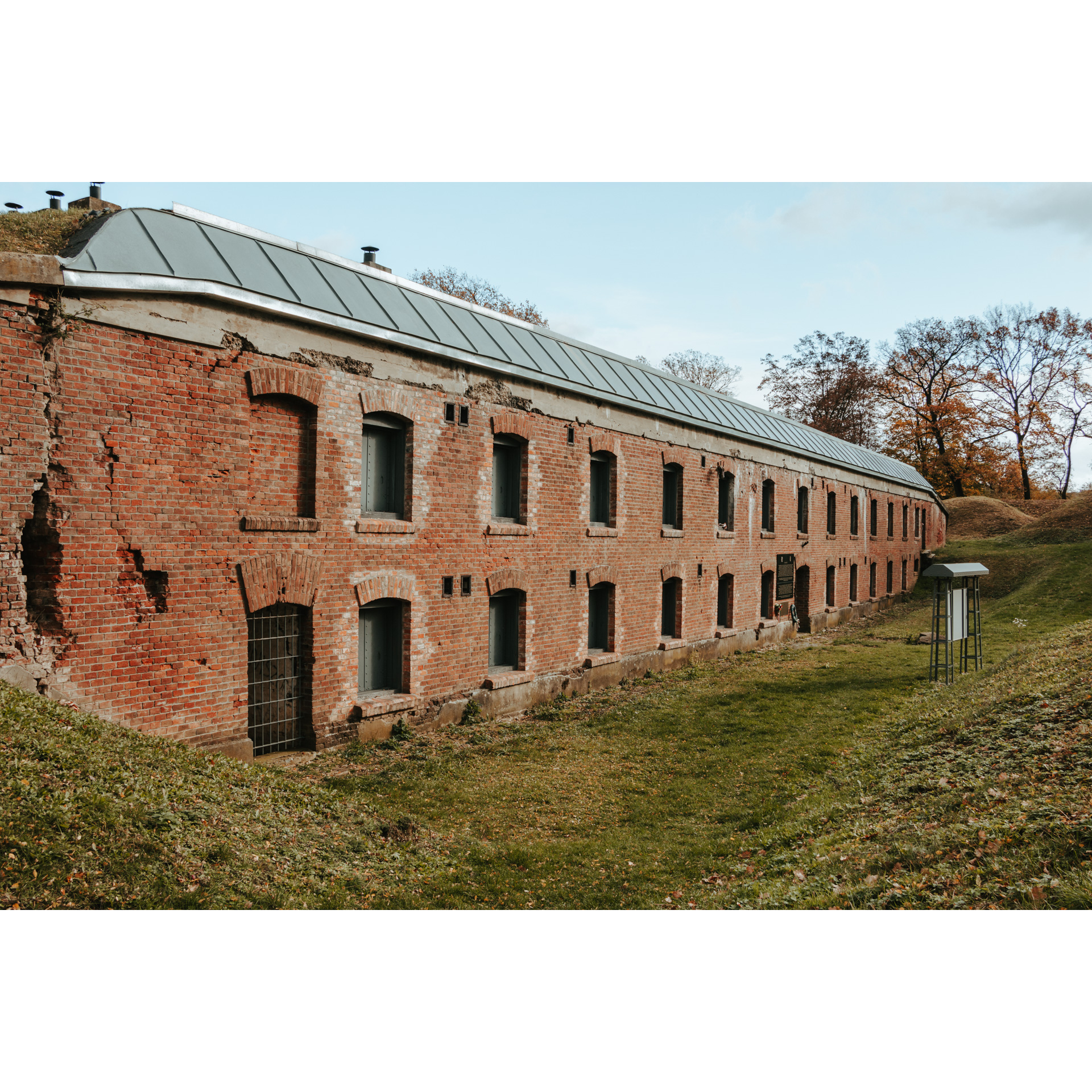
In Przemyśl you will find many objects worthy of attention, such as the Przemyśl Fortress. This is a well-preserved piece of defensive architecture, the construction of which began in the 19th century. Although the process was supposed to take as long as 24 years, the project was never fully realised. During World War I, the fortress was the third-largest fortification in Europe and was besieged three times. A Fortress Trail marked in black runs along the forts. Even today, the Przemyśl Fortress is one of Europe's largest pieces of defensive architecture.
- 2Góra Zniesienia2.2 kmZniesienia Mountai
Continue along the asphalt road. You will pass the Cross on Zniesienie, a viewpoint with a beautiful panorama of Przemyśl and the upper station of a ski lift.
You will ride another 2 km along the red hiking trail. At this stage, the road will be asphalt, varied in elevation and with scenic views. On the way, you will pass the Kruhel fort.
- 3Kruhel Wielki5 kmKruhel Wielki
Follow the red hiking trail markings along the scenic asphalt road. When you reach a fork in the road, turn left and then left again.
- 4Wapielnica6.9 kmWapielnica
An arduous climb to Wapielnica awaits you from the pass. Follow the signs of the black hiking trail. Here you enter the Fortress Cycle Trail. Due to its incomplete signposting, we recommend you follow the hiking trail signs.
From the fork in the trail (with Fort Helicha a little further on), you will have a long, exciting downhill ride on a gravel road to Grochowce.
- 5Grochowiec9 kmGrochowiec
In the village, there is another fort on the right, marked only by a black access trail, so it's easy to miss the turn. Follow the main road until you reach a junction.
- 6Pikulice11 kmPikulice
In Pikulice, follow the hiking trail signs. Go off the main road to the right. You will finish the slight uphill ride by taking the side gravel road to the next village on the route, Nehrybki.
- 7Nehrybka14 kmNehrybka
Cross the regional road no. 885. Go straight ahead, without deviating into other side roads. Head for Łuczyce.
- 8Łuczyce16 kmŁuczyce
In Łuczyce, due to the impassable nature of the path (steepness and dense thickets), you will cross the Wiar river by a footbridge and leave the hiking trail, taking the road to the left (following the signposting of the cycling trail).
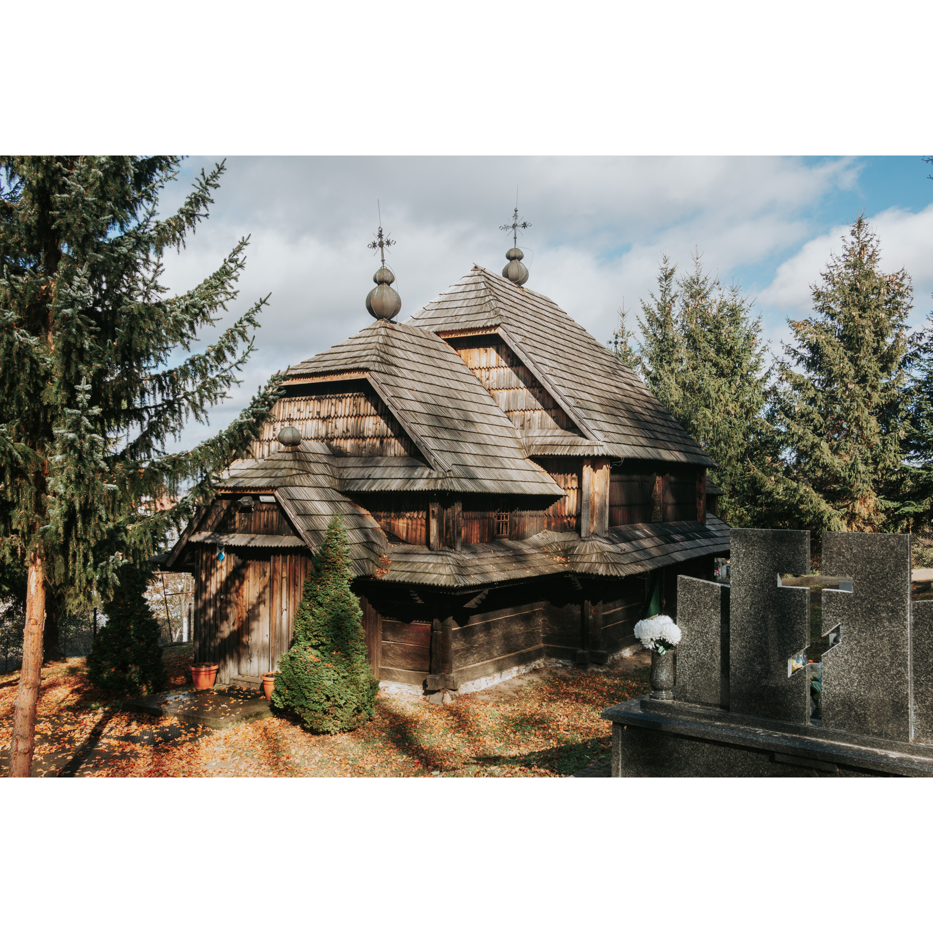
On the right-hand side of the route, you will find access through a property to a small tserkva with a preserved iconostasis. This is the wooden Tserkva of the Presentation of the Blessed Virgin Mary in Łuczyce. It was built in 1856 and renovated in the 1990s. The church still serves Greek Catholics today. While inside, look out for 19th-century iconostasis.
Behind the Church of St Casimir, the road along the black trail leads to the Łuczyce fort.
- 9Jaksmanice20 kmJaksmanice
In Jaksmanice you will leave the hiking trail again, following the road marked by the cycle trail. Alternatively, those who are fond of off-road challenges can continue along the black hiking trail.
When riding along the road after coming across the black trail, turn right if you want to visit the W-I Salis Soglio Fort. Returning, turn right at the junction and take the exciting descent to Fort XV Borek.
- 10Siedliska23 kmSiedliska
Further along the asphalt with views, you will reach national road no. 28. Be careful, because although there are three cycle tracks here, the road up to the Przemyśl city borders has no cycle track.
- 11Przemyśl34 kmPrzemyśl
The final stage of the trip is approaching. At the roundabout in front of the McDonald's restaurant, turn left and follow S. Batory and then Bakończycka streets back to the car park. This will take you back to the starting point.
Attractions near this route
Gallery
Check other routes


