Rzeszów and its surroundings
Hills and forests located south of Rzeszów
XML, 162.16kB
About this route
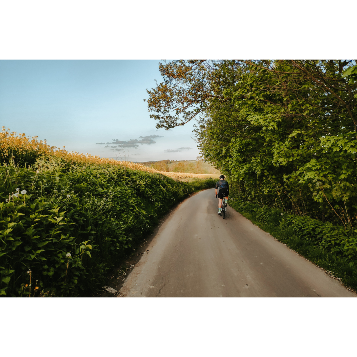
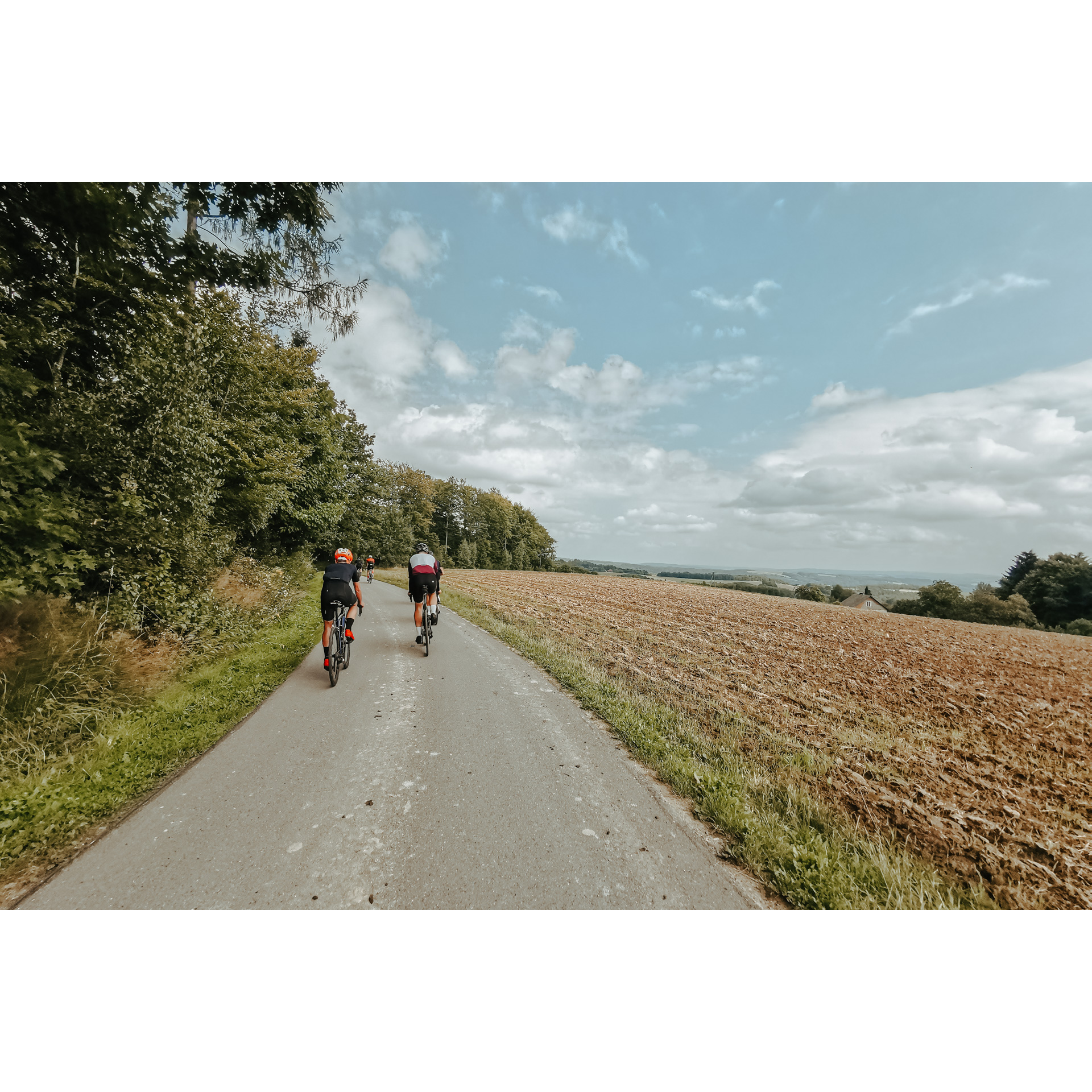
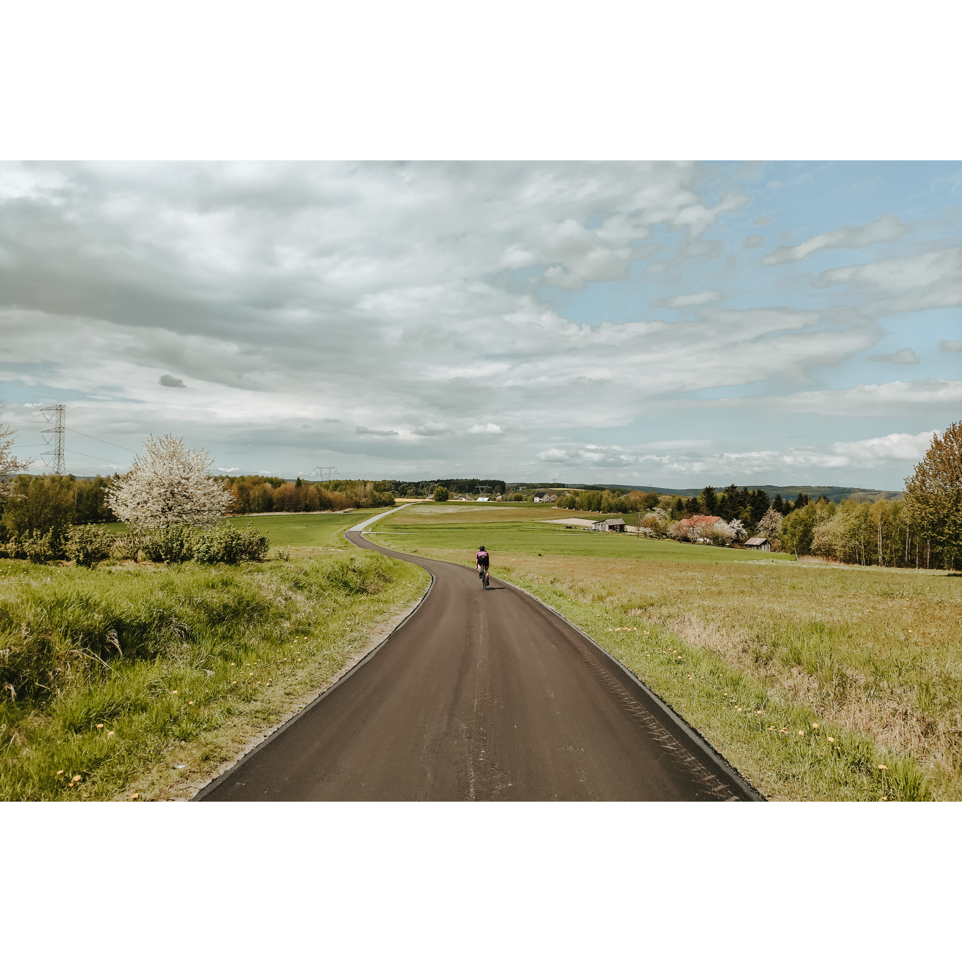
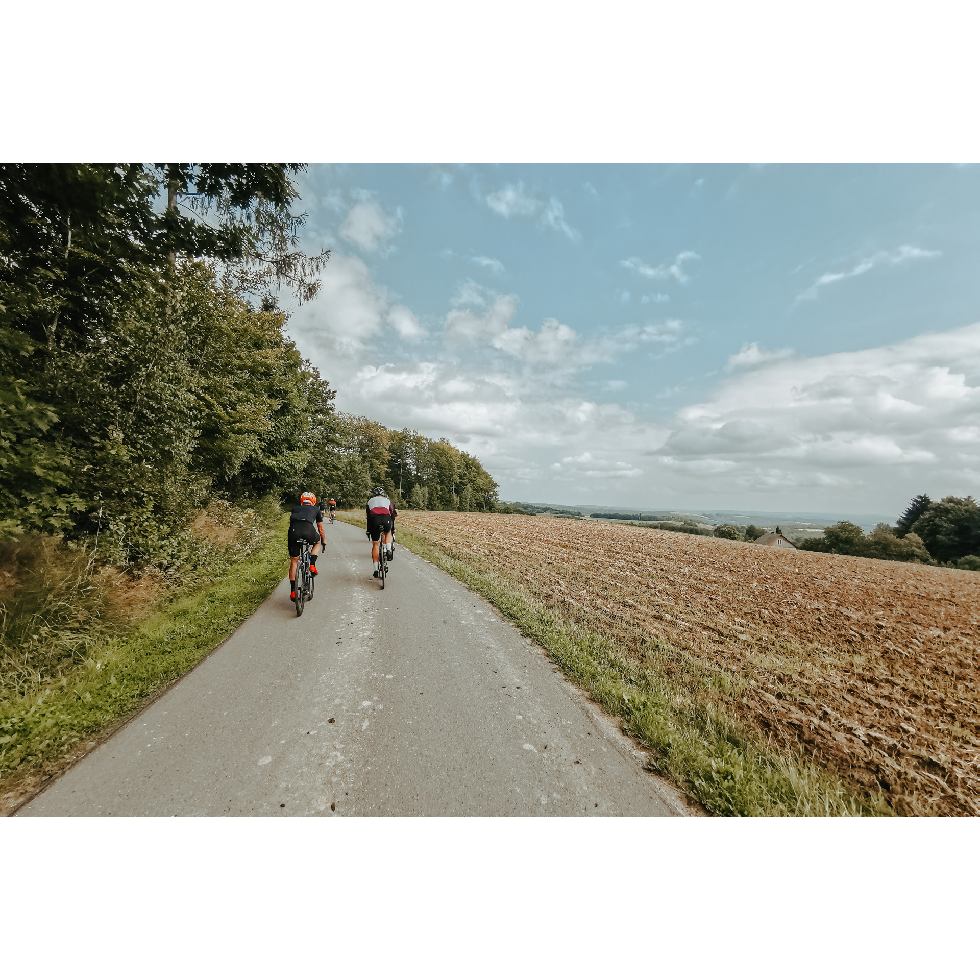
A route of medium difficulty, both in terms of length and elevation. It runs mostly on side and country roads. The numerous hills provide excellent viewpoints over the next towns and river valley landscapes, whereas the forests offer a chance to rest in the shade. The tour begins and ends on the southern outskirts of Rzeszów. It winds its way not only through Podkarpackie villages and towns but also through areas that are uninhabited and left to nature. A large part of the route leads along the Wisłok valley, which allows you to observe not only how the river has shaped its course, but also the extent of the changes introduced by the human hand.
Practical advices
A route with a moderate level of difficulty will allow you to test your fitness. Remember that the terrain has a huge impact on how many kilometres you can cover. Trails on flat roads are less strenuous than those on hills or mountain roads.
Planning a group trip? Match the route to the fitness of the weakest participant.
A helmet and light clothing made of breathable materials will be essential for safety and comfort on the route. Other than that, only put on the essentials. Heavy luggage will make your ride more difficult. Also, think about what you will carry the necessary items in. We suggest a backpack or panniers for your bike.
Be prepared for possible breakdowns on the route. It is a good idea to carry the most important tools for a quick fix, such as inner tubes or patches, a pump or a multi-tool. Make sure you have enough water and food, as well as navigation equipment.
Is it looking like a warm and sunny day? Remember sunscreen and sunglasses. If you are planning sightseeing or other activities along the route, a bike lock will also be very useful. Before you leave, carefully examine your route for the trip. Consider whether your skills and equipment are adequate for the level of difficulty of the route.
Rzeszów and its surroundings
Audiodeskrypcja tekstowa
Route details
Rzeszów – Olimpów – Strzyżów – RzeszówStart
- 1Rzeszów – Stal Rzeszów Stadium0 kmStal Rzeszów Stadium
The starting point is the stadium of Stal Rzeszów. From there, take the cycle path along the Wisłok River and follow the boulevards south towards the Lisia Góra nature reserve. It's a small reserve, full of old trees and protected bird specimens. Then, after passing Bird Island on the river, you're faced with a sharp turn to the right. The next few kilometres go along Jarowa and Beskidzka Streets. In Racławówka, before the bridge over the Lubcza River, turn slightly right and follow the river bank. After 2.5 km, there is a sharp turn to the left and a road leading to Zgłobno. Another change of direction takes place in Wola Zgłobieńska, turn right, up the hill, and behind it, in Będzenica, turn left onto the asphalt road, in front of the bus stop. At the crossroads among the fields, go right and when you reach the asphalt road, go left. This stage ends in Olimpów.
- 2Olimpów26 kmOlimpów
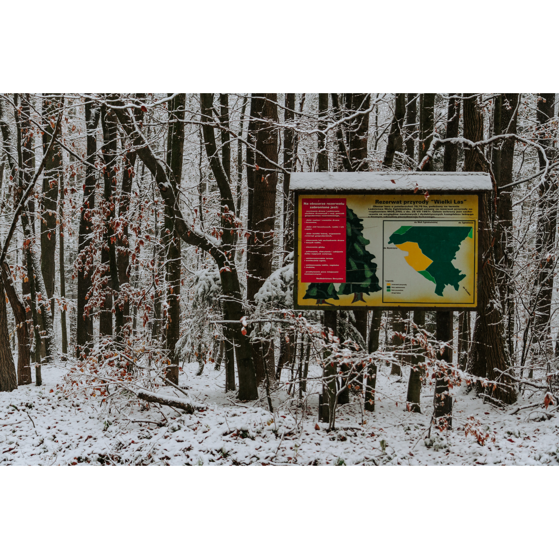
In Olympów, take a southwestern direction to reach Wiśniowa. The route continues past the primary school, where you turn right and after 650 m turn left. The long straight section ends at the panorama near the triangulation tower at the Wielki Las nature reserve. Heading west go straight ahead. Meandering along the edge of the forest, you pass the hill near Pstrągowa, dive briefly into a dense thicket and follow the road by the forest again. At the roadside cross, turn into the fields, and onto an unpaved road. This will lead you to a horse stud. After passing the stables, turn right at the end of the road. Follow the main road through Pstrągowa. Then, 1 km past the church, turn right to a viewpoint overlooking the Tatra Mountains. On a clear day, you will be able to see them from there. Then through forests and hills, you will reach Strzyżów.
- 3Strzyżów52 kmStrzyżów
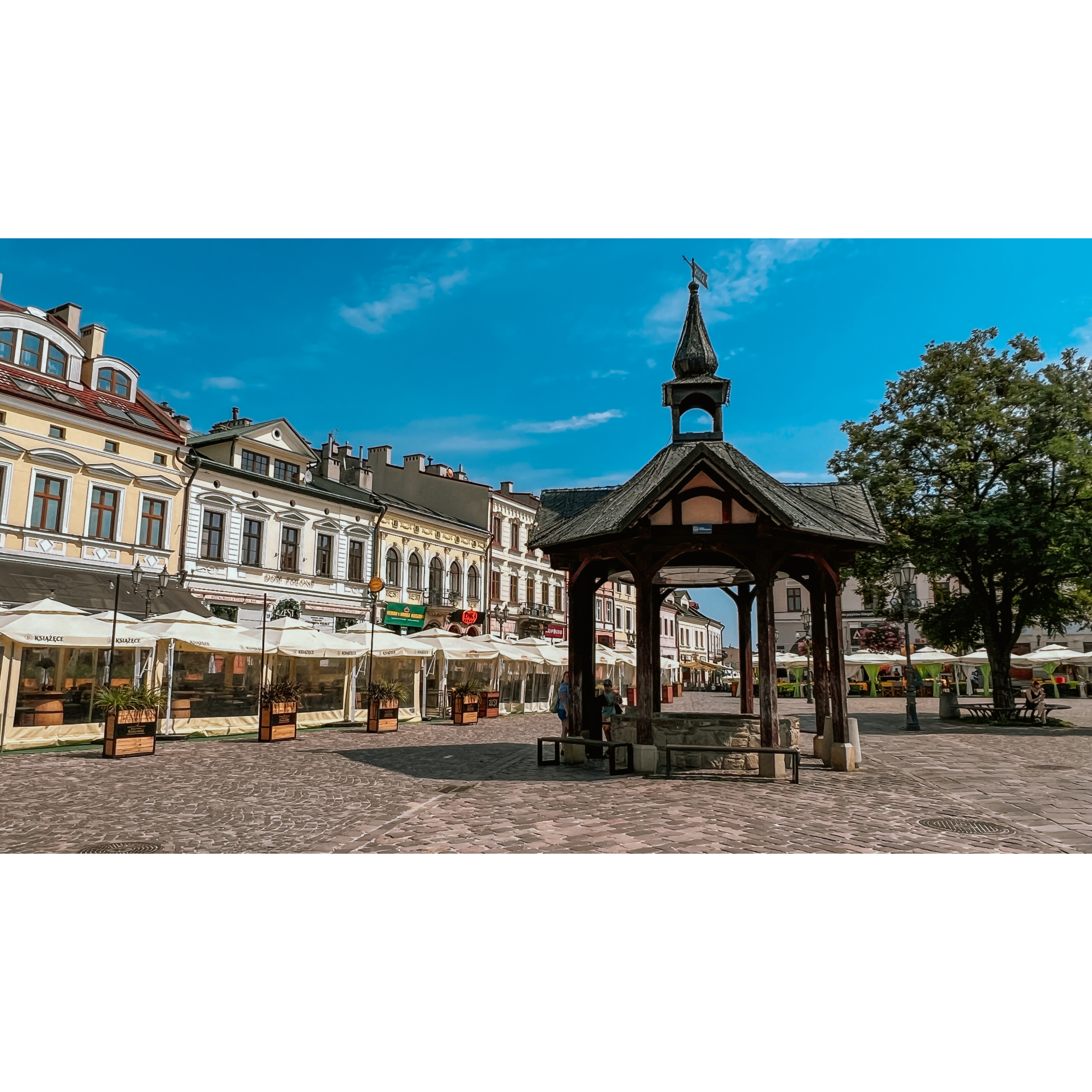
The market square in Strzyżów is a good place to rest and recuperate. Pay attention to the urban layout of the town, and you can also visit the nearby church, architecturally interesting but also with richly decorated furnishings. Leave the town via Slowackiego street. After crossing the bridge over the Wisłok River, turn left, then turn right after 150 m and left again after 250 m. You can stop at the ruins of a steel truss bridge. You will enter a copse and along its edge reach a viewpoint, past it, turn left. After 4.8 km, at a bifurcation, turn right to drive through a small forest to reach the buildings of Przedmieście Czudeckie. Going right, you will reach Wyżne. There, pass the OSP (fire station building), taking the narrow residential road. After less than 400 m, turn left and continue ahead without deviating. This will take you to Lubenia. The trail continues along the main road through Siedliska. In Rzeszów's Budziwój housing estate, turn into Porąbki Street and then Senatorska Street. You will reach Jana Pawła II Street and turn left into it. After some time, it will turn into Kwiatkowskiego Street. On the way, you can take a rest by the Żwirownia reservoir. From there, it will only be a few minutes of riding to the Karpacki Bridge.
- 4Rzeszów83 kmRzeszów
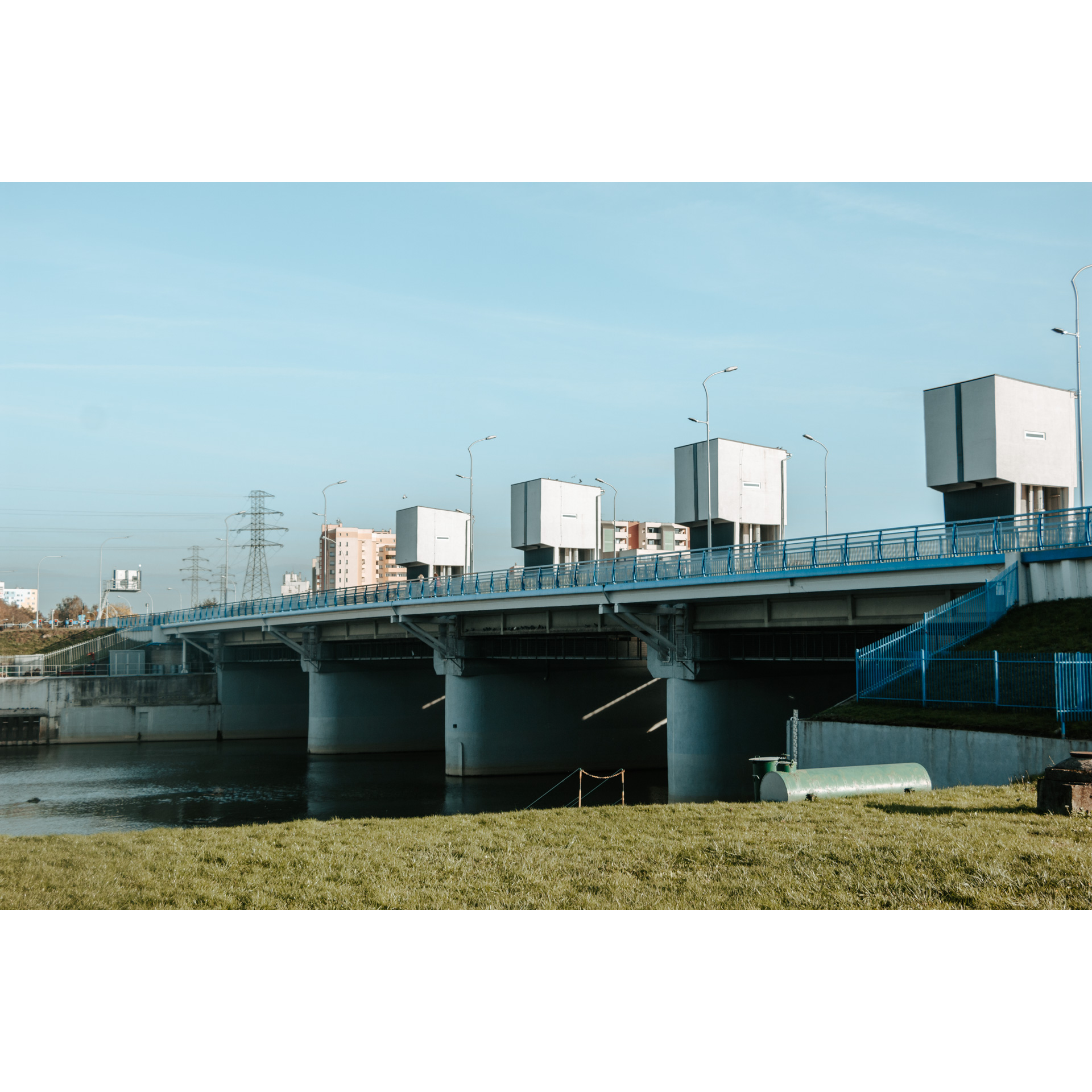
Your route ends at the Karpacki Bridge, by your starting point.
Attractions near this route
Gallery
Check other routes


