Rzeszów and its surroundings
For a panorama of Sandomierz
XML, 90.64kB
About this route
An easy and pleasant route leading through the valleys of rivers towards the Vistula. Elevations and climbs here are gentle and even children can handle them. The challenge might be the significant distance, but planning the journey over a longer period with breaks will surely help reduce the strain. The reward for completing the route is a beautiful panorama of Sandomierz and views of the agriculturally transformed areas of north-western Podkarpackie.
Practical advices
Although this route is not demanding, it is worth preparing for it properly, so that nothing surprises you at any point. Start with the most important thing, which is your helmet. A good helmet is essential for your safety. Take care also of proper lighting, both front and rear. In addition to bike lights, equip your bike with reflectors so that you are highly visible on the road.
What else is worth taking with you on a trip? Make sure to pack a sweatshirt or a rail jacket in your backpack, in case the weather changes. It is also a good idea to bring snacks to give you energy during the trip. Protein bars or energy mousses work well.
If you plan to take visit the attractions along the route, you will need to leave your bike behind in some places. To make sure it is still there after the tour, be sure to bring a bike safety device such as a U-Lock or any bicycle lock.
Rzeszów and its surroundings
Audiodeskrypcja tekstowa
Route details
Stalowa Wola – Sokolniki – Stalowa WolaStart
- 1Stalowa Wola0 kmStalowa Wola
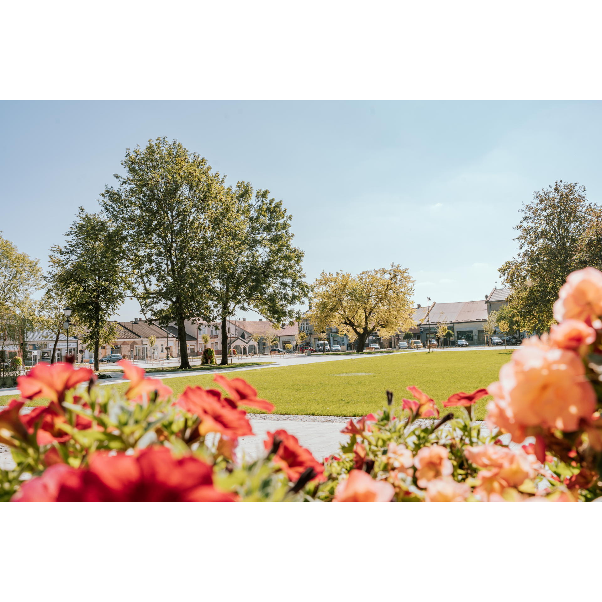
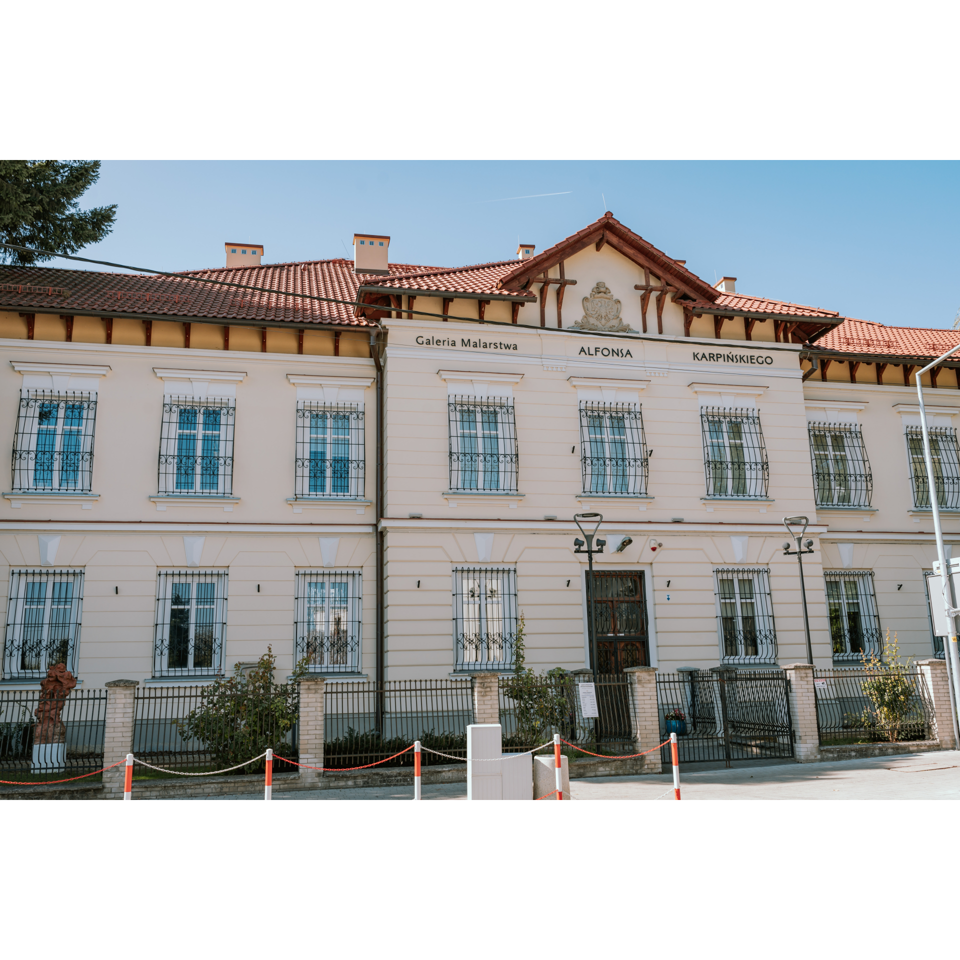
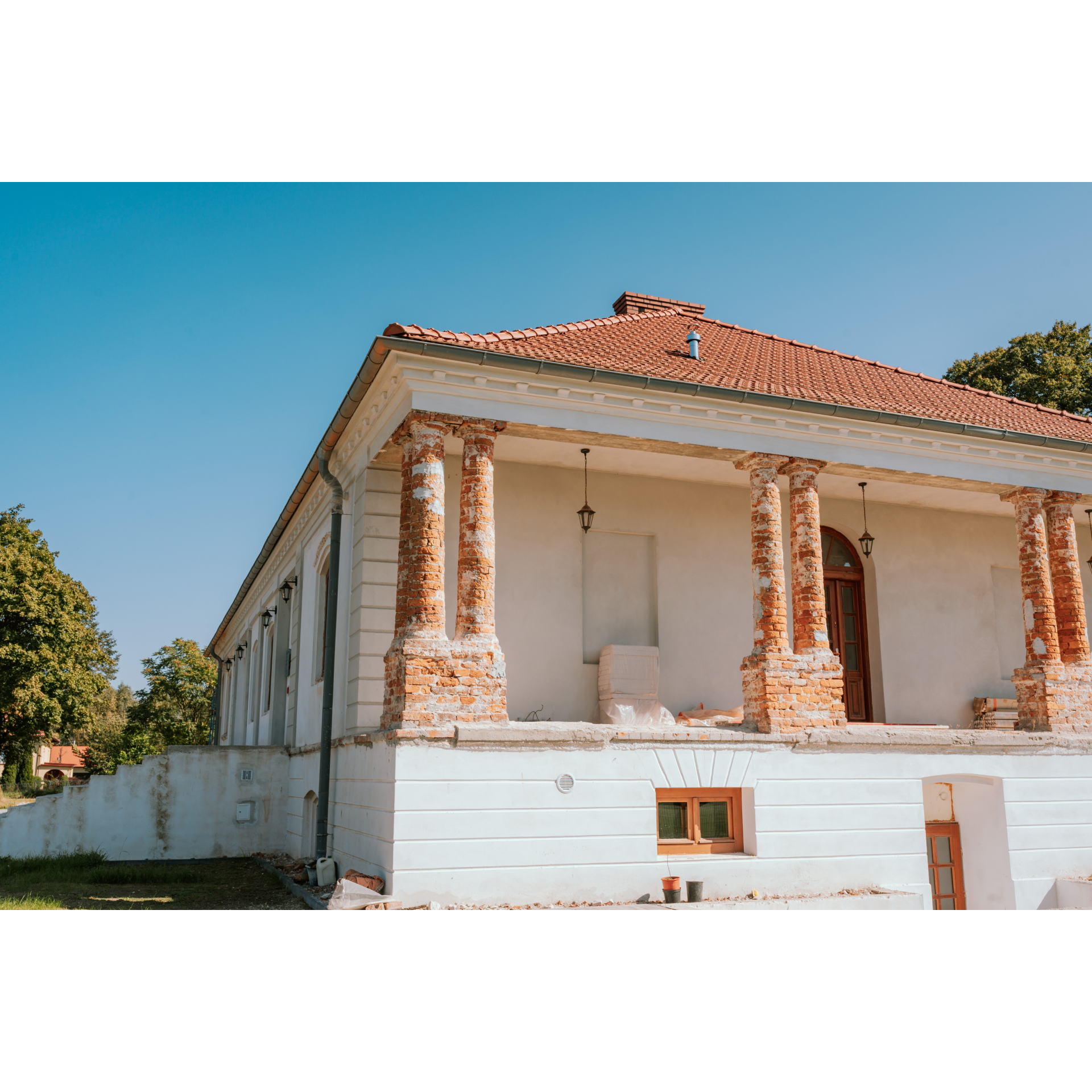
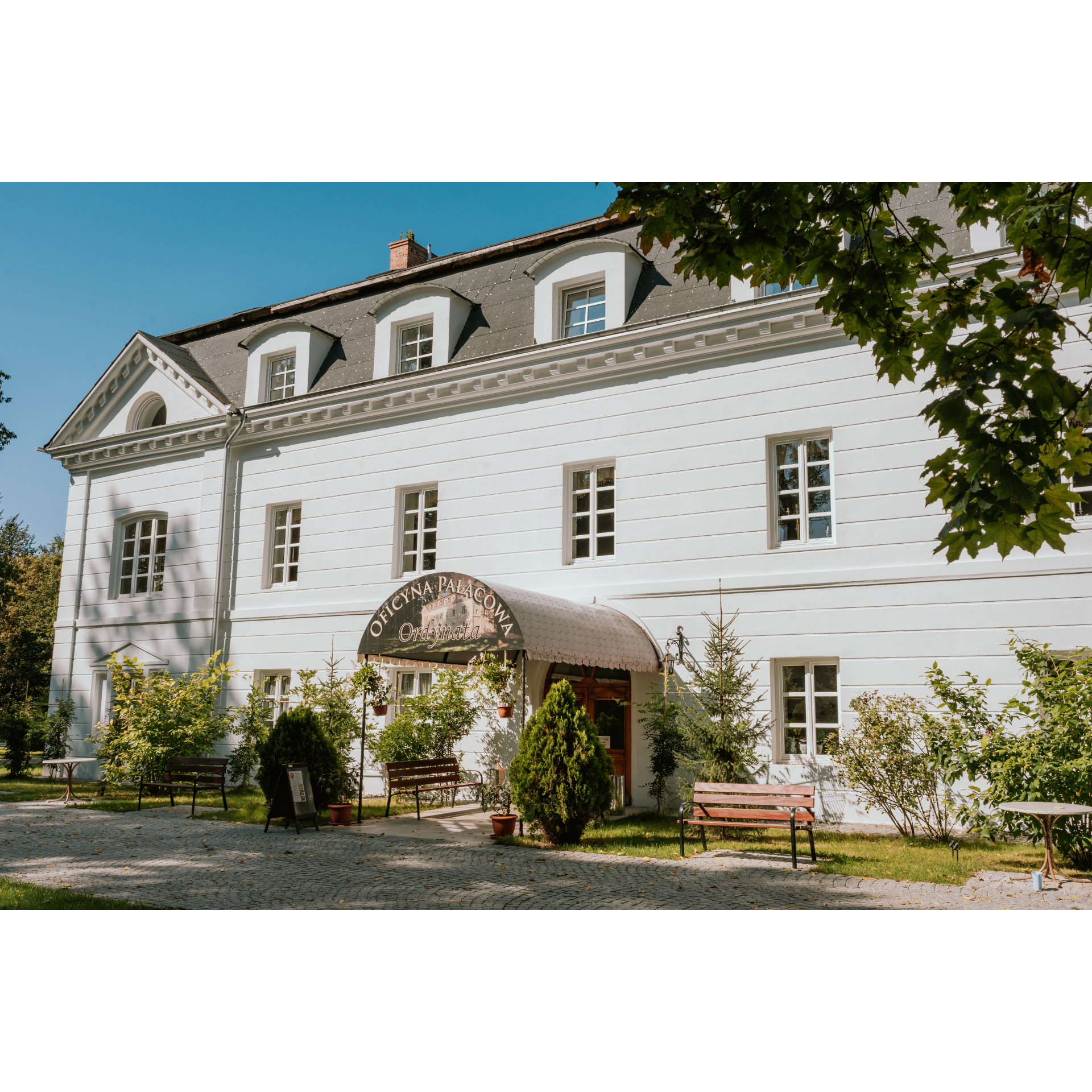
The starting point will be the Cathedral Basilica of Our Lady Queen of Poland. Depart from it heading north, along the avenues of John Paul II. Go straight through all intersections for 2.5 km until you reach the Orląt Lwowskich roundabout. Take the second exit onto Rozwadowska Street. This will lead you to the market square in Rozwadów. It reminds of the times when today's district of Stalowa Wola was an independent town. It is surrounded by nineteenth and twentieth-century tenement houses, some of which are multi-storeyed. Circle the market square to the left or cut across it following the main road to exit onto Broniewskiego Street. 200 metres from the market square, on the left side, you will find the well-maintained building of the Regional Museum, which occupies the eighteenth-century, Neoclassical palace of the Lubomirski family. Continue on Sandomierska Street. At the intersection of the road with the railway tracks, you will notice a cluster of trees – this is Charzewicki Park with the palace outbuilding, built in the Neoclassical style, with an elegant mansard roof. 200 metres past the tracks, turn left to cross another section of the railway, and then turn right onto Świerkowa Street. It runs along the outskirts of the village of Agatówka to Obojna. Cut through the edges of this village and continue straight. After 2 km of driving through fields and sparse groves, you will enter Kotowa Wola, near the Kraiński manor. It is a beautiful complex with a symmetrical structure, with roofed terraces and colonnades on each wing. Beyond the manor, turn left and at the next intersection, turn right by a small papal monument. From this road, you will turn left, following the signpost to Kępa Zaleszańska. Upon entering, you will cross a double-track railway line. Using Centralna Street, you will reach the centre, where you will turn left onto Św. Jana Pawła II Street. Beyond the Łęg river, turn right at the first intersection in the forest. You will pass a sand pit with a reservoir and cross Orliska. Head northwest, at the fork keeping to the left, opposite the signpost to Gorzyce. After a few minutes, you will reach Sokolniki.
- 2Sokolniki23.3 kmSokolniki
Continue to the end of the road and turn right. This is Sandomierska Street, which you will take out of the town in a general north-west direction. It seamlessly transitions into Kościelna Street of the Trześń locality. Follow this road without changing direction, leaving the main square of the village on your left, then passing a cemetery on both sides of the road, and further on, a massive Neo-Gothic church. Cross the national road no. 77. From the short Szkolna Street, turn right. You will pass by an old manor of the Tarnowski family, built in 1780. It is a wooden structure in the Polish style, with stone columns supporting the roofed fronton at the main entrance. Sadly, it is in a terrible condition. Continue along the road next to Trześniówka, crossing the railway tracks. You will reach Zalesie Gorzyckie. Standing on a small bridge almost on the border of two provinces, you have an excellent view of the confluence of the Trześniówka with the Vistula River and a distant panorama of the castle in Sandomierz, the Cathedral Basilica of the Birth of the Blessed Virgin Mary, and other buildings on the Sandomierz hill. Turn around to return to Trześń via the same route past the ruins of the wooden manor. This time, turn onto Błonie Street near the village's representative-recreational square. Having passed the fire station, head south. You will cover 2 kilometres of fields and sparse groves until you reach Furmany. At the large intersection in the centre of the village, which you will easily recognize by the small square with a cross and flowers, turn left onto Kościelna Street. Travelling along the edge of the forest, you will reach Poręby Furmańskie. At the end of the road, turn right to cross the railway tracks. Taking the road between buildings and the forest wall, you will continue to Zabrze. After another 2 kilometres, you will arrive at a roundabout on the regional road no. 871. Do not change your direction or route – it will lead you through the following localities: Gębów and Jamnica, and a huge forest complex to Stalowa Wola. After the forest, turn gently right at the gate of the military unit and the municipal cemetery. By Ofiar Katynia Street, you will reach the intersection with Popiełuszki Street. Enter it. Proceeding straight, between the modernist estates of this purely working-class city, built from scratch in the pre-war period, you will reach the starting point in a few minutes.
- 3Stalowa Wola58.9 kmStalowa Wola
Your trip ends near the starting point.
Attractions near this route
Gallery
Check other routes


